Elevation of Main St, Littlefork, MN, USA
Location: United States > Minnesota > Koochiching County >
Longitude: -93.555612
Latitude: 48.398966
Elevation: 340m / 1115feet
Barometric Pressure: 97KPa
Elevation Map:
Satellite Map:
Related Photos:

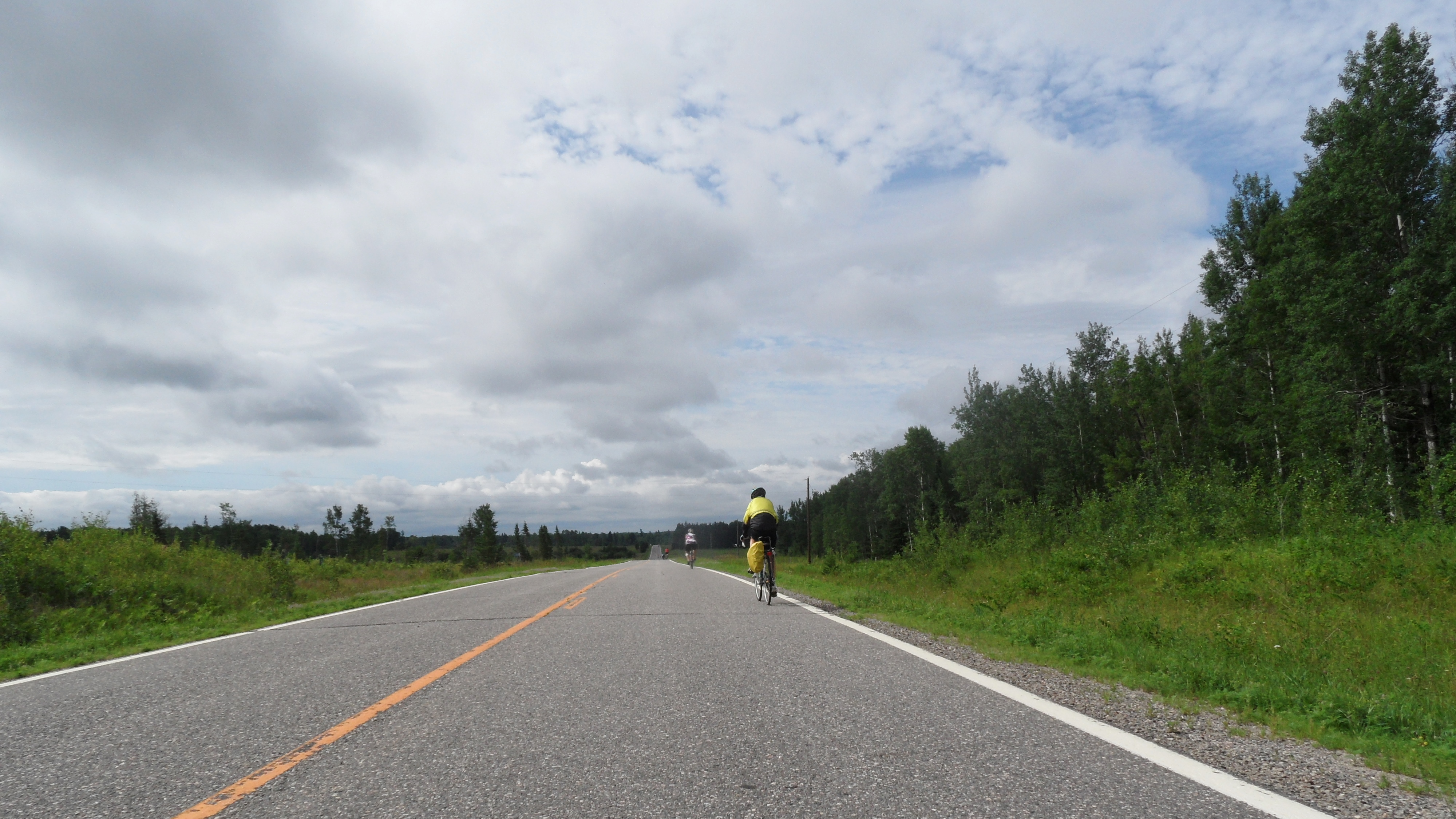
The Northern MN Woods

126/365: August 19, 2007

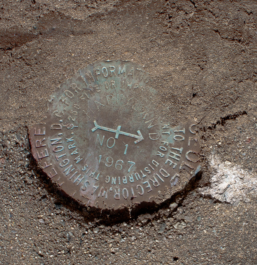
Geocaching at the Minnesota/Canada border

Geocaching at the Minnesota/Canada border

Geocaching at the Minnesota/Canada border

Jackpine Savage
SAM_2100 (1)road

2013-01-28 10.02.47
IMG_3051 Happy Land
IMG_3034 Happy Land
IMG_3033 Happy Land
Topographic Map of Main St, Littlefork, MN, USA
Find elevation by address:

Places near Main St, Littlefork, MN, USA:
Littlefork
Littlefork Baptist Church
Old School Road
Rainy Lake
Alberton
County Road 106
Koochiching County
1148 Trans-canada Hwy
811 6th St
4th St, International Falls, MN, USA
International Falls
110 Victoria Ave
1st St E, Fort Frances, ON P9A 1K4, Canada
Fort Frances
525 Portage Ave
Co Rd, International Falls, MN, USA
P9a 3m3
Mainville Road
Little Fork River
Emo
Recent Searches:
- Elevation of Rojo Ct, Atascadero, CA, USA
- Elevation of Flagstaff Drive, Flagstaff Dr, North Carolina, USA
- Elevation of Avery Ln, Lakeland, FL, USA
- Elevation of Woolwine, VA, USA
- Elevation of Lumagwas Diversified Farmers Multi-Purpose Cooperative, Lumagwas, Adtuyon, RV32+MH7, Pangantucan, Bukidnon, Philippines
- Elevation of Homestead Ridge, New Braunfels, TX, USA
- Elevation of Orchard Road, Orchard Rd, Marlborough, NY, USA
- Elevation of 12 Hutchinson Woods Dr, Fletcher, NC, USA
- Elevation of Holloway Ave, San Francisco, CA, USA
- Elevation of Norfolk, NY, USA