Elevation of Co Rd, East Bernard, TX, USA
Location: United States > Texas > Wharton County > East Bernard >
Longitude: -96.112883
Latitude: 29.530786
Elevation: 38m / 125feet
Barometric Pressure: 101KPa
Elevation Map:
Satellite Map:
Related Photos:
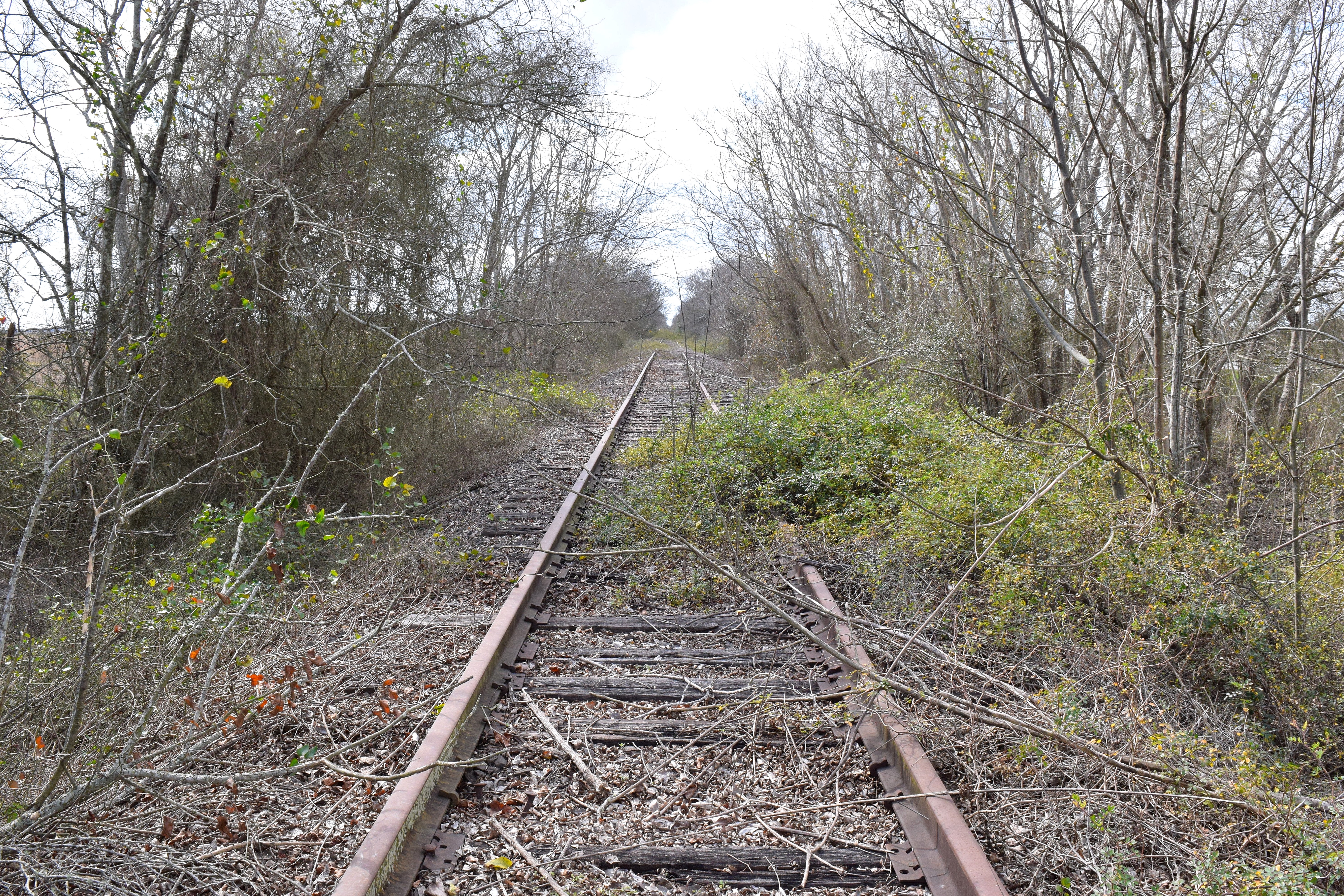
Looking West on the SP Bellaire Subdivision

Dead Tree At The Silo

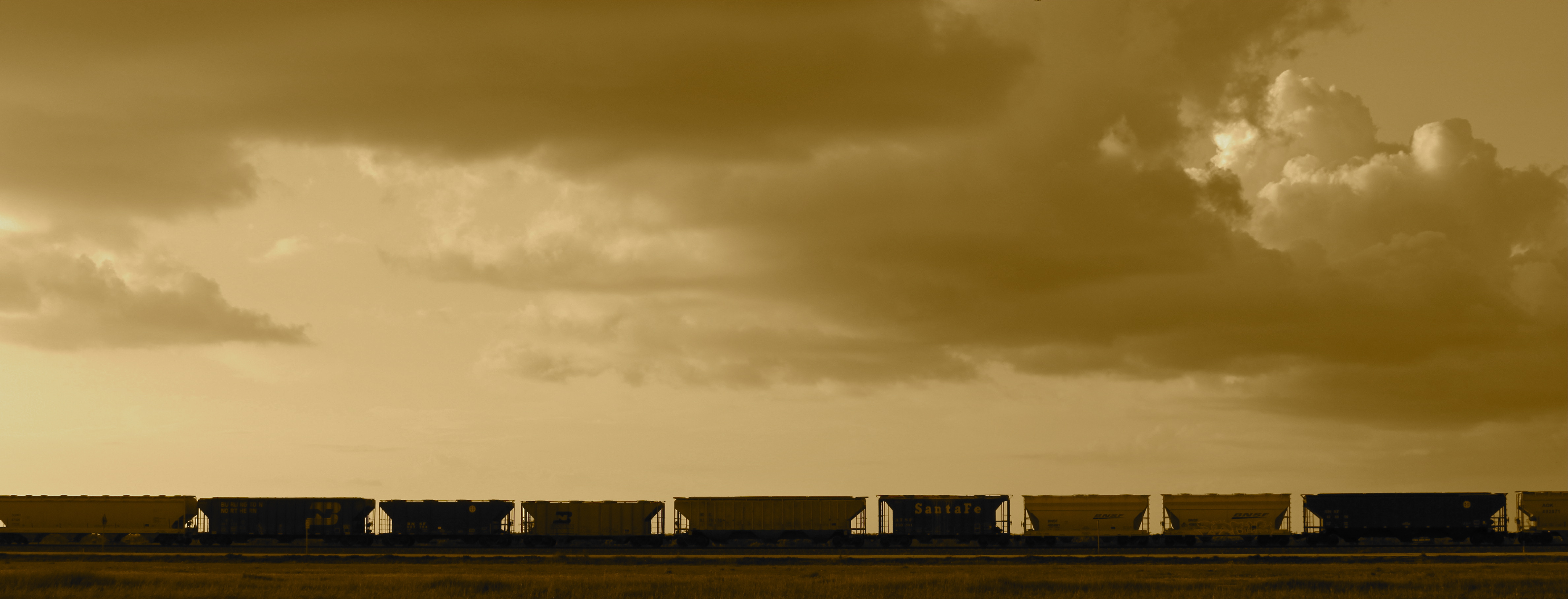
Two KCS locomotives, silhouette view
Hoppers at KCS Rosenberg Intermodal Terminal
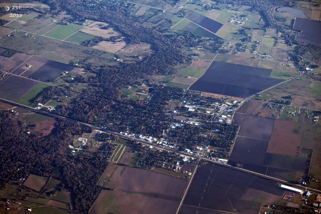
East Bernard, TX

Manifest freight in Kendleton TX

Cotton harvest, Austin County TX

Switching at KCS Rosenberg Intermodal Terminal

Harvesting cotton near Wallis TX

KCS manifest train, Kendleton TX

Harvesting cotton near Wallis TX

Texas Spring
Topographic Map of Co Rd, East Bernard, TX, USA
Find elevation by address:

Places near Co Rd, East Bernard, TX, USA:
East Bernard
US-90 ALT, East Bernard, TX, USA
16308 Jackson Rd
2535 County Rd 201
County Road 250
Hungerford
East Bernard Road
Kendleton
401 Lum Rd
4004 Peach Creek Dr
Wharton County
El Campo, Tx
Engbrock Road
3514 Susan Cir
5300 Boyett Dr
5021 County Rd 121
5545 Boyett Dr
5503 Boyett Dr
3825 Donaldson Rd
5550 Boyett Dr
Recent Searches:
- Elevation of Lampiasi St, Sarasota, FL, USA
- Elevation of Elwyn Dr, Roanoke Rapids, NC, USA
- Elevation of Congressional Dr, Stevensville, MD, USA
- Elevation of Bellview Rd, McLean, VA, USA
- Elevation of Stage Island Rd, Chatham, MA, USA
- Elevation of Shibuya Scramble Crossing, 21 Udagawacho, Shibuya City, Tokyo -, Japan
- Elevation of Jadagoniai, Kaunas District Municipality, Lithuania
- Elevation of Pagonija rock, Kranto 7-oji g. 8"N, Kaunas, Lithuania
- Elevation of Co Rd 87, Jamestown, CO, USA
- Elevation of Tenjo, Cundinamarca, Colombia