Elevation of Hungerford, TX, USA
Location: United States > Texas > Wharton County >
Longitude: -96.076903
Latitude: 29.3991341
Elevation: 35m / 115feet
Barometric Pressure: 101KPa
Elevation Map:
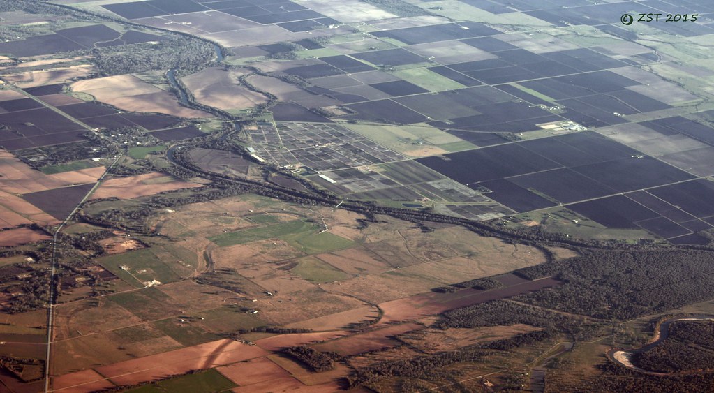
Satellite Map:
Related Photos:

Cemetery and Abandoned Church

Old Store In Egypt

KCS diesel power

1948 Anglia Rear View

Switching at KCS Rosenberg Intermodal Terminal

"MEATS"

Two KCS locomotives, silhouette view
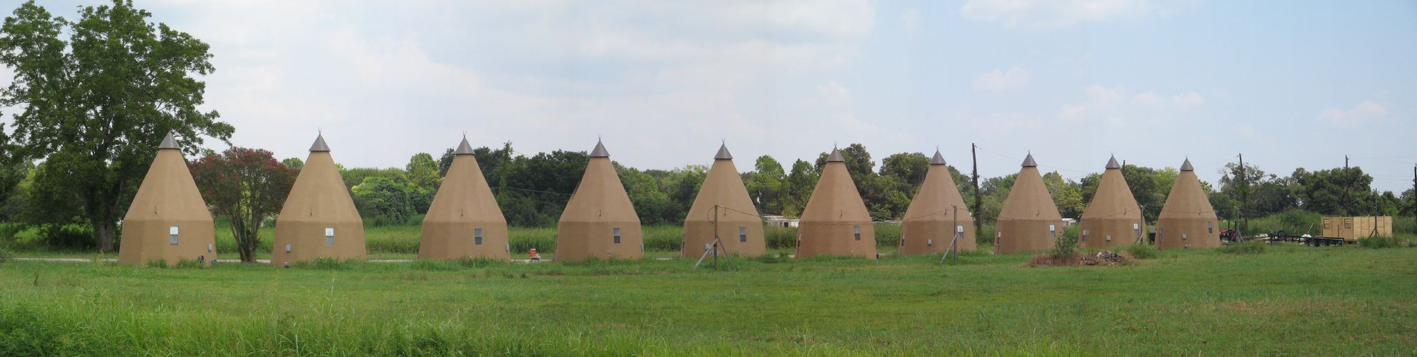
Line of Tee Pees
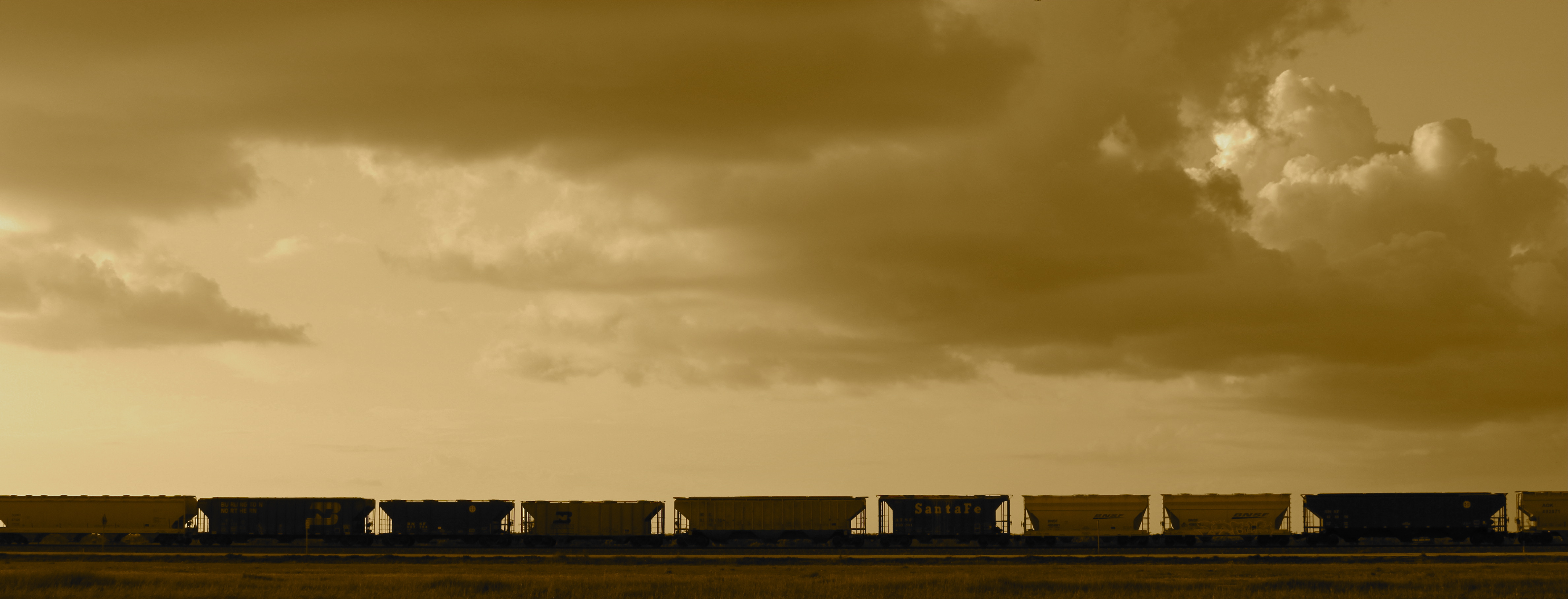
Hoppers at KCS Rosenberg Intermodal Terminal
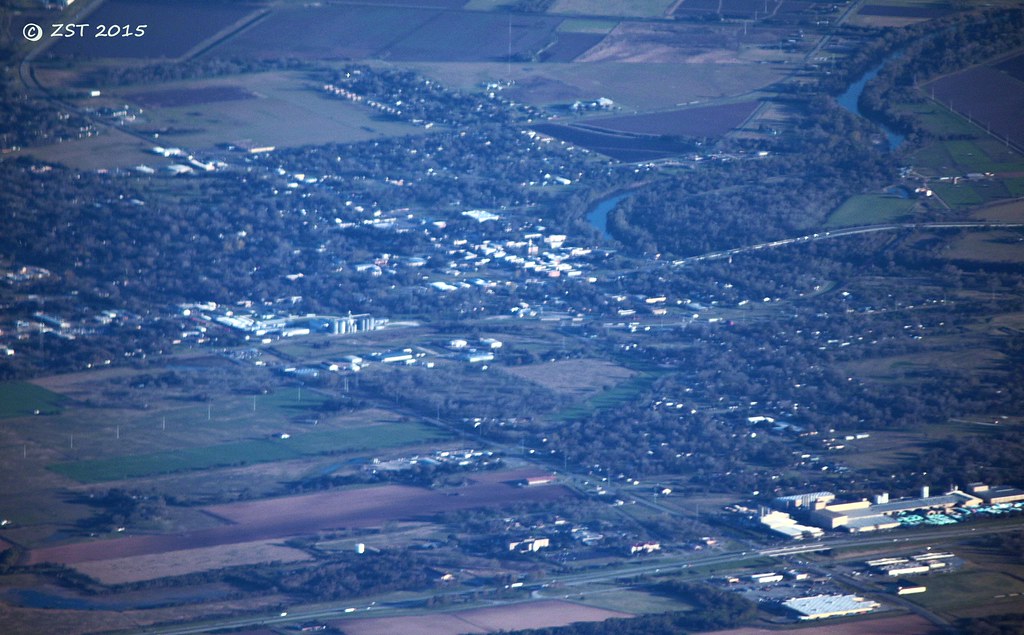
Wharton, TX
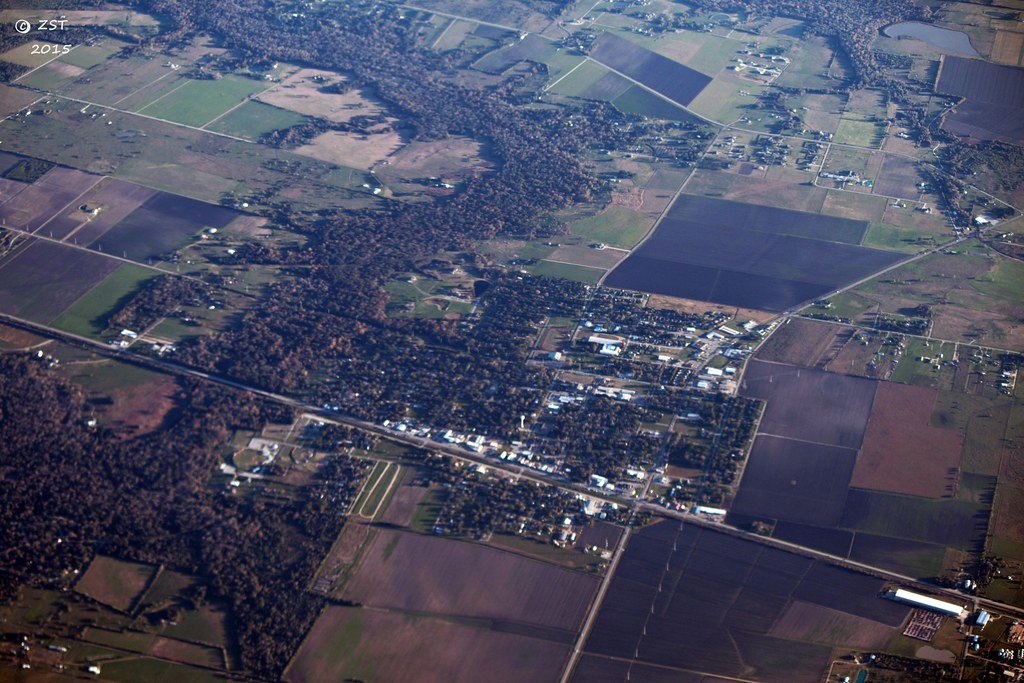
East Bernard, TX

View from the Balcony
Glen Flora, TX

Manifest freight in Kendleton TX

Switching at KCS Rosenberg Intermodal Terminal

KCS manifest train, Kendleton TX
Topographic Map of Hungerford, TX, USA
Find elevation by address:

Places in Hungerford, TX, USA:
Places near Hungerford, TX, USA:
East Bernard Road
Engbrock Road
5021 County Rd 121
4004 Peach Creek Dr
3514 Susan Cir
3825 Donaldson Rd
Wharton County
El Campo, Tx
401 Lum Rd
Patty Lane
Kendleton
Pharris Drive
5545 Boyett Dr
5300 Boyett Dr
5550 Boyett Dr
5550 Boyett Dr
5550 Boyett Dr
5503 Boyett Dr
2535 County Rd 201
16308 Jackson Rd
Recent Searches:
- Elevation of Rojo Ct, Atascadero, CA, USA
- Elevation of Flagstaff Drive, Flagstaff Dr, North Carolina, USA
- Elevation of Avery Ln, Lakeland, FL, USA
- Elevation of Woolwine, VA, USA
- Elevation of Lumagwas Diversified Farmers Multi-Purpose Cooperative, Lumagwas, Adtuyon, RV32+MH7, Pangantucan, Bukidnon, Philippines
- Elevation of Homestead Ridge, New Braunfels, TX, USA
- Elevation of Orchard Road, Orchard Rd, Marlborough, NY, USA
- Elevation of 12 Hutchinson Woods Dr, Fletcher, NC, USA
- Elevation of Holloway Ave, San Francisco, CA, USA
- Elevation of Norfolk, NY, USA