Elevation of Co Rd, Altura, MN, USA
Location: United States > Minnesota > Winona County > Altura >
Longitude: -91.963952
Latitude: 44.0731473
Elevation: 360m / 1181feet
Barometric Pressure: 97KPa
Elevation Map:
Satellite Map:
Related Photos:

Sunny Day Overlooking the Mississippi

Unfinished Monet

A View

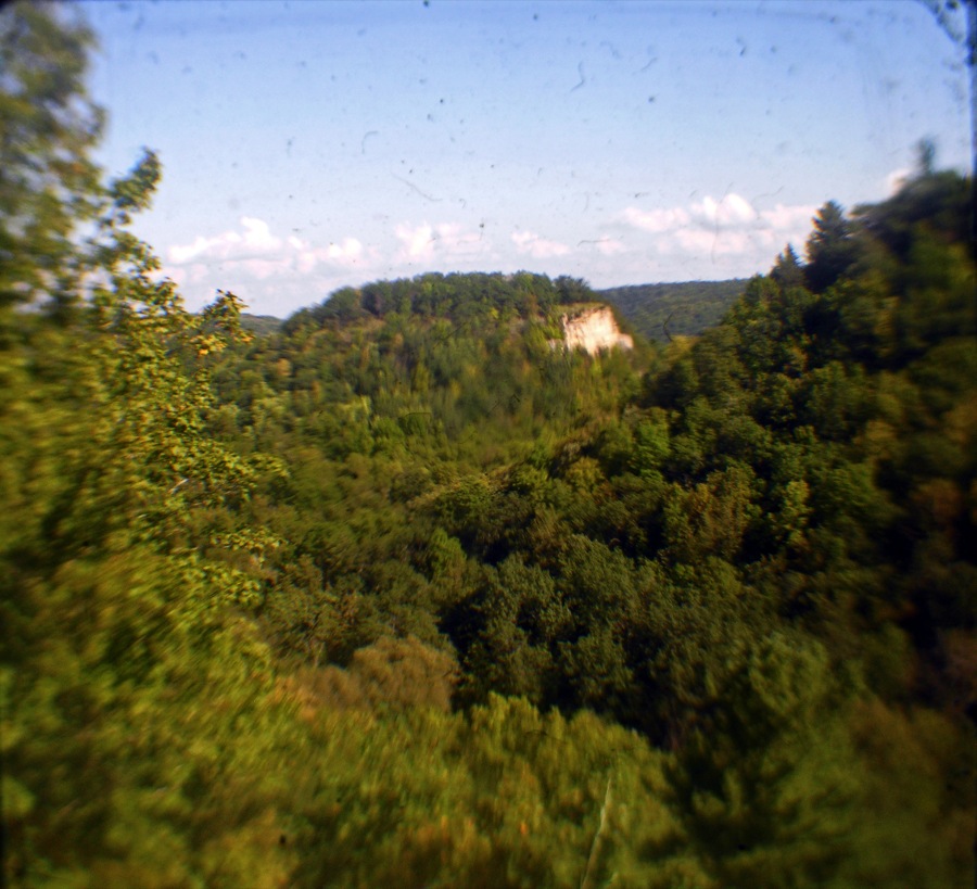
Mount Charity Overlook

Inspiration Point
TTV Inspiration Point

Bluff country view

Views galore
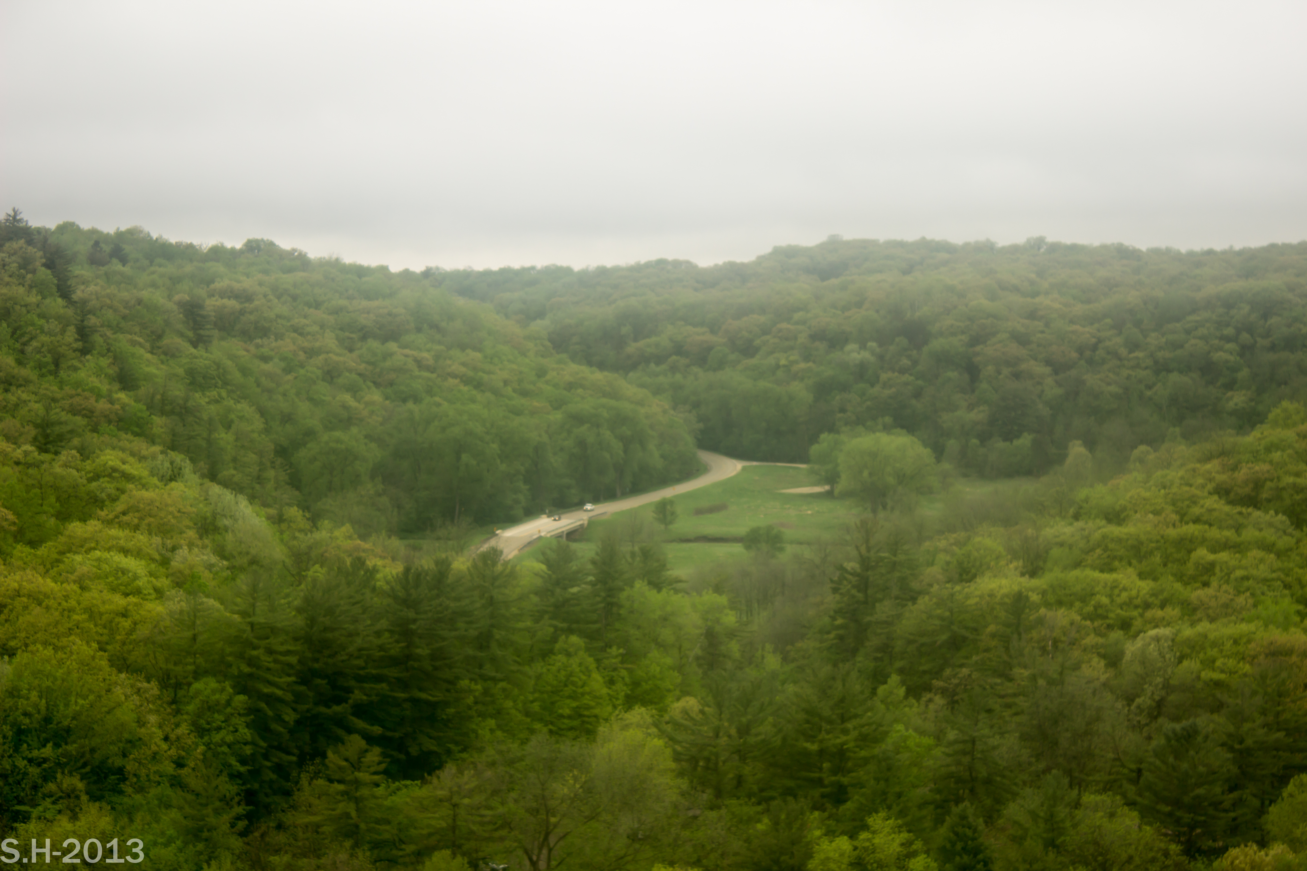
Overlooking Whitewater

Spectacular view

View from Eagle Point

View from the Edge

Whitewater State Park
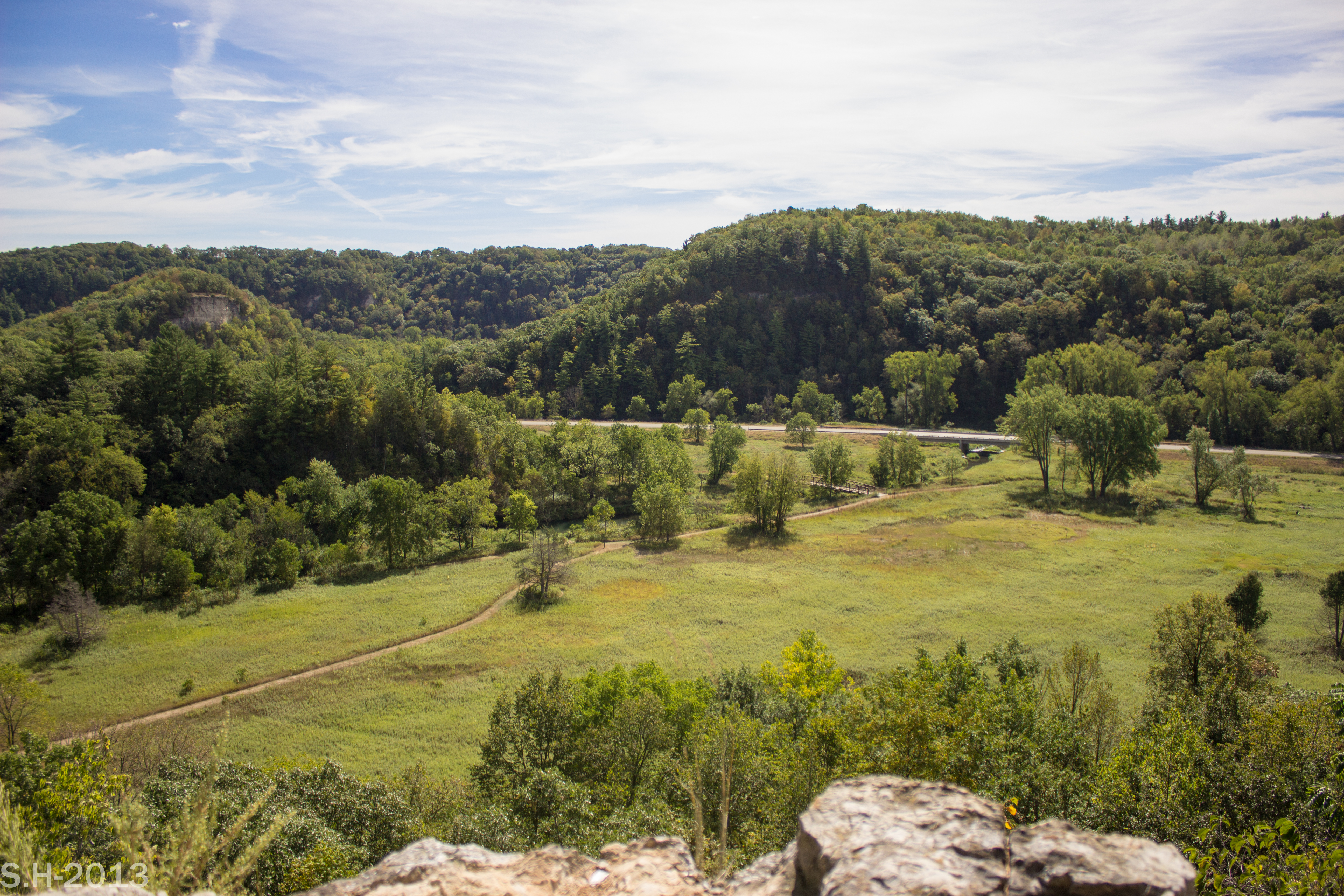
View from Eagle Point
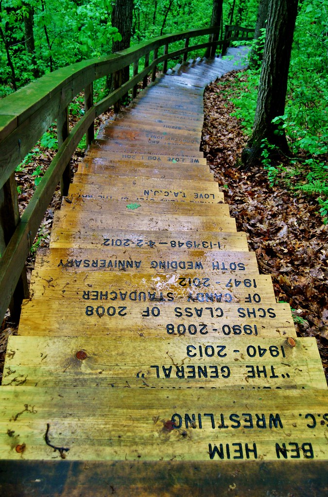
Carved Steps to The Elba Fire Tower

view from mom's front door
Elevation is Everything

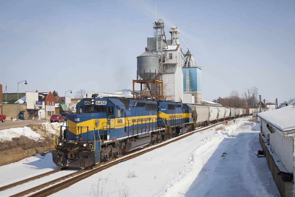
CP 6255 - 686 - St. Charles, MN
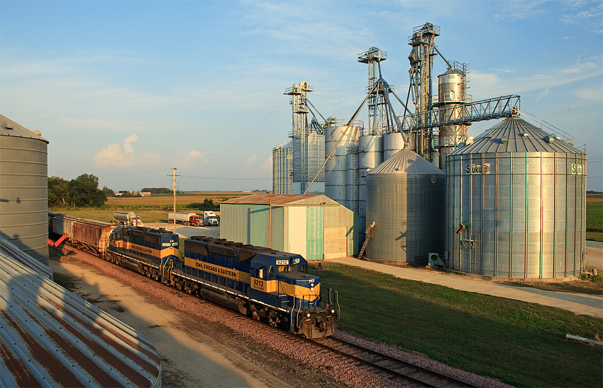
ICE 6212 Utica, MN
Topographic Map of Co Rd, Altura, MN, USA
Find elevation by address:

Places near Co Rd, Altura, MN, USA:
Altura
10 Main St, Altura, MN, USA
East Center Street
Elba Fire Tower
Elba
Co Hwy 28, Altura, MN, USA
Only Ave, Altura, MN, USA
Whitewater Township
Elba Township
Co Hwy 30, Altura, MN, USA
216 Willow Court
730 Bluff Ave
Saint Charles
St Charles Ave, St Charles, MN, USA
MN-74, Altura, MN, USA
Main St, Rollingstone, MN, USA
Co Rd 29, Winona, MN, USA
Co Hwy 6, St Charles, MN, USA
Hillsdale Township
Saratoga Township
Recent Searches:
- Elevation of Calais Dr, Del Mar, CA, USA
- Elevation of Placer Mine Ln, West Jordan, UT, USA
- Elevation of E 63rd St, New York, NY, USA
- Elevation of Elk City, OK, USA
- Elevation of Erika Dr, Windsor, CA, USA
- Elevation of Village Ln, Finleyville, PA, USA
- Elevation of 24 Oakland Rd #, Scotland, ON N0E 1R0, Canada
- Elevation of Deep Gap Farm Rd E, Mill Spring, NC, USA
- Elevation of Dog Leg Dr, Minden, NV, USA
- Elevation of Dog Leg Dr, Minden, NV, USA