Elevation of Co Rd 98, Carnesville, GA, USA
Location: United States > Georgia > Franklin County > Carnesville >
Longitude: -83.382438
Latitude: 34.39417
Elevation: 253m / 830feet
Barometric Pressure: 98KPa
Elevation Map:
Satellite Map:
Related Photos:
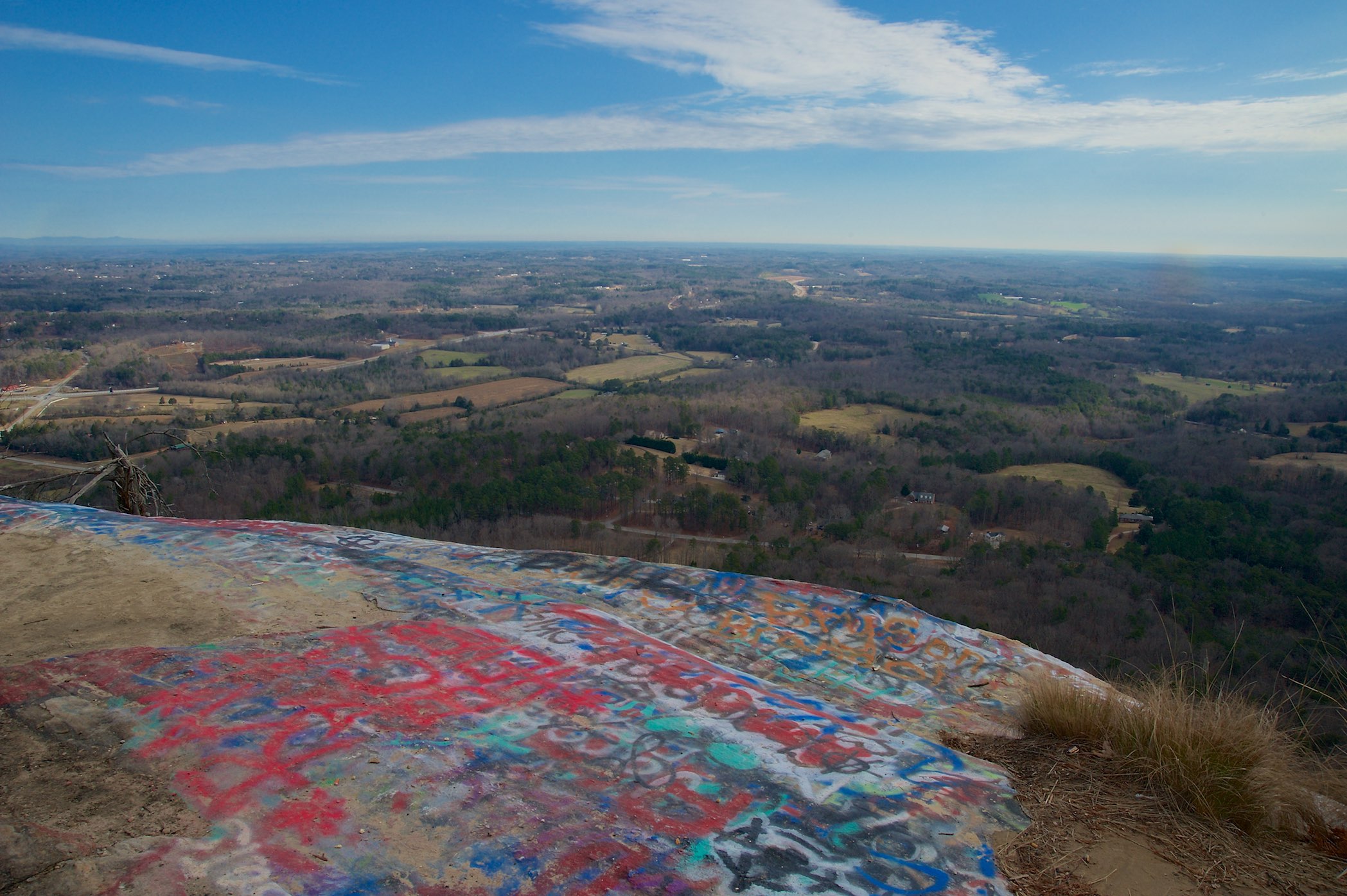
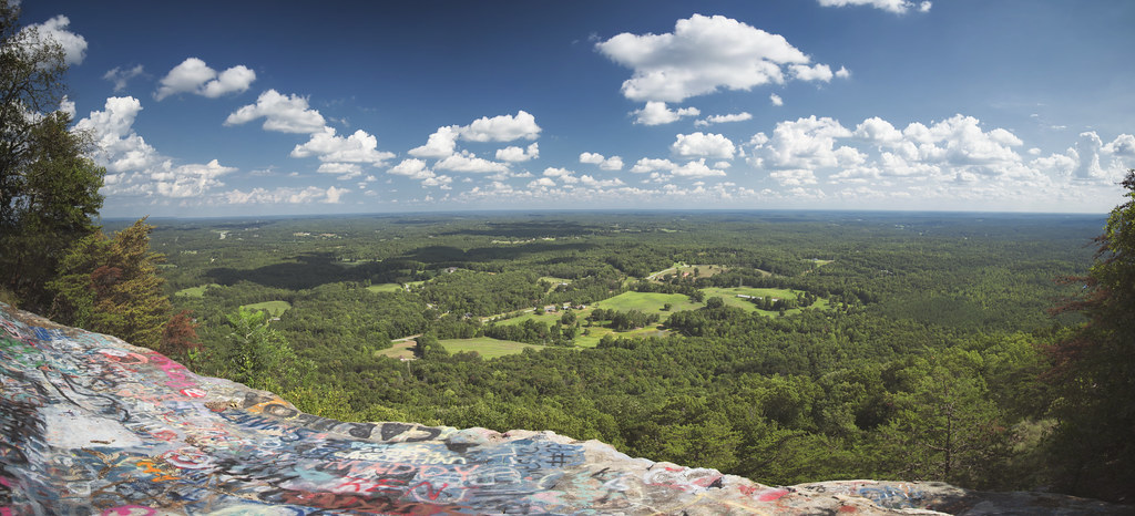
View from W4G/NG-086 - Currahee Mtn
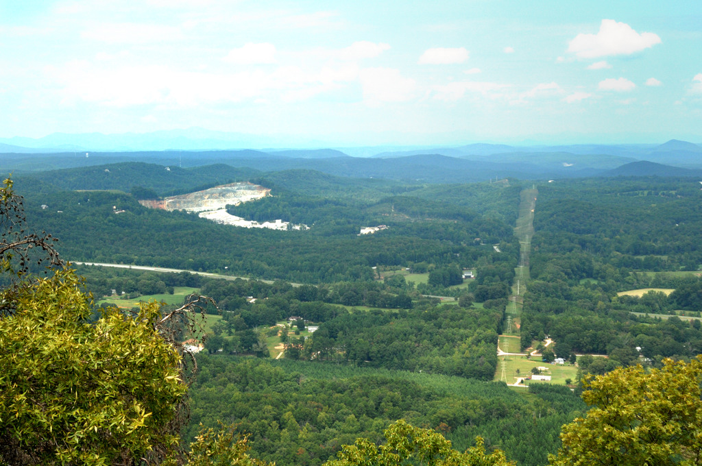
Currahee - 3 Miles Up
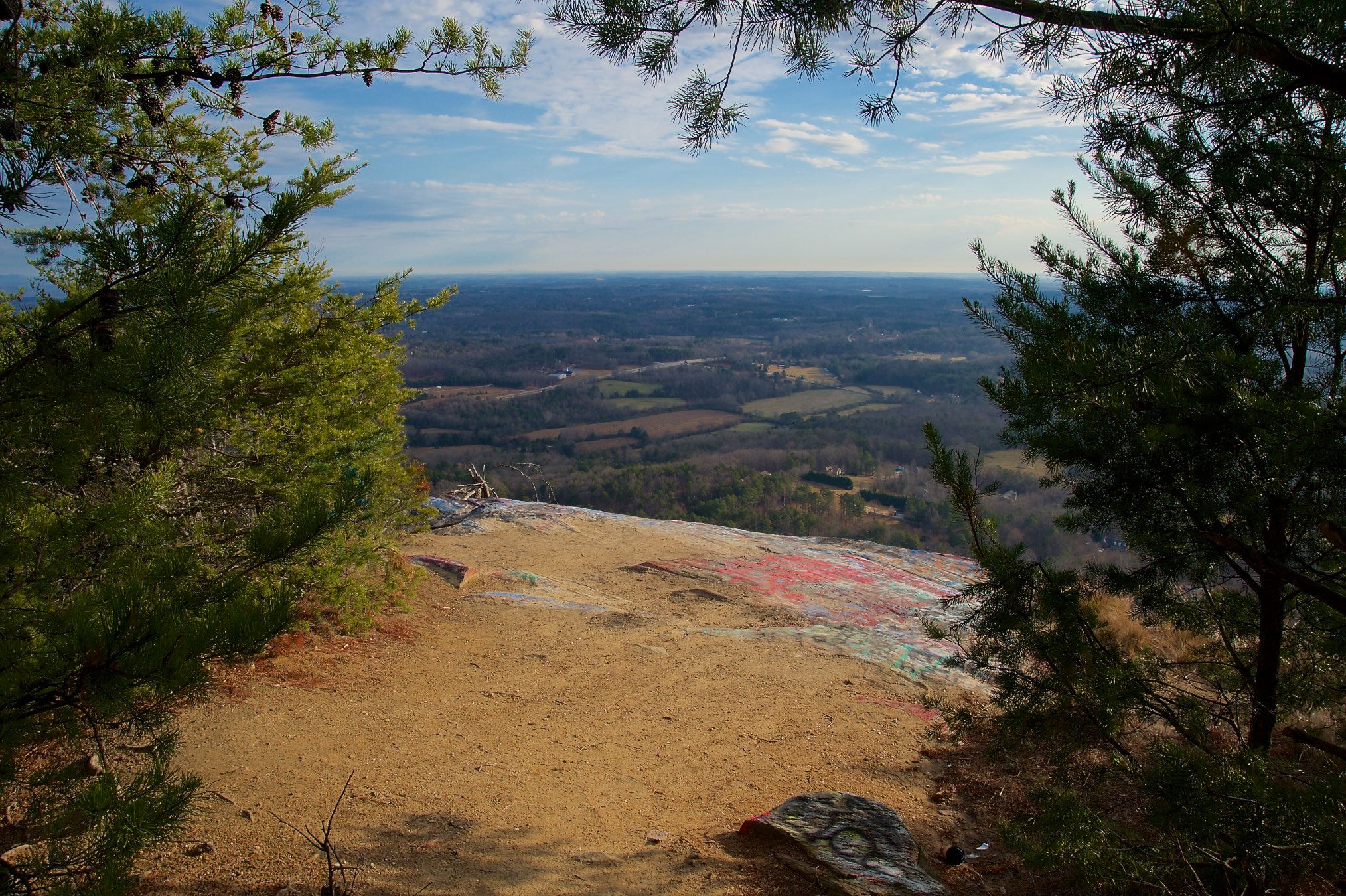
View from W4G/NG-086 - Currahee Mtn
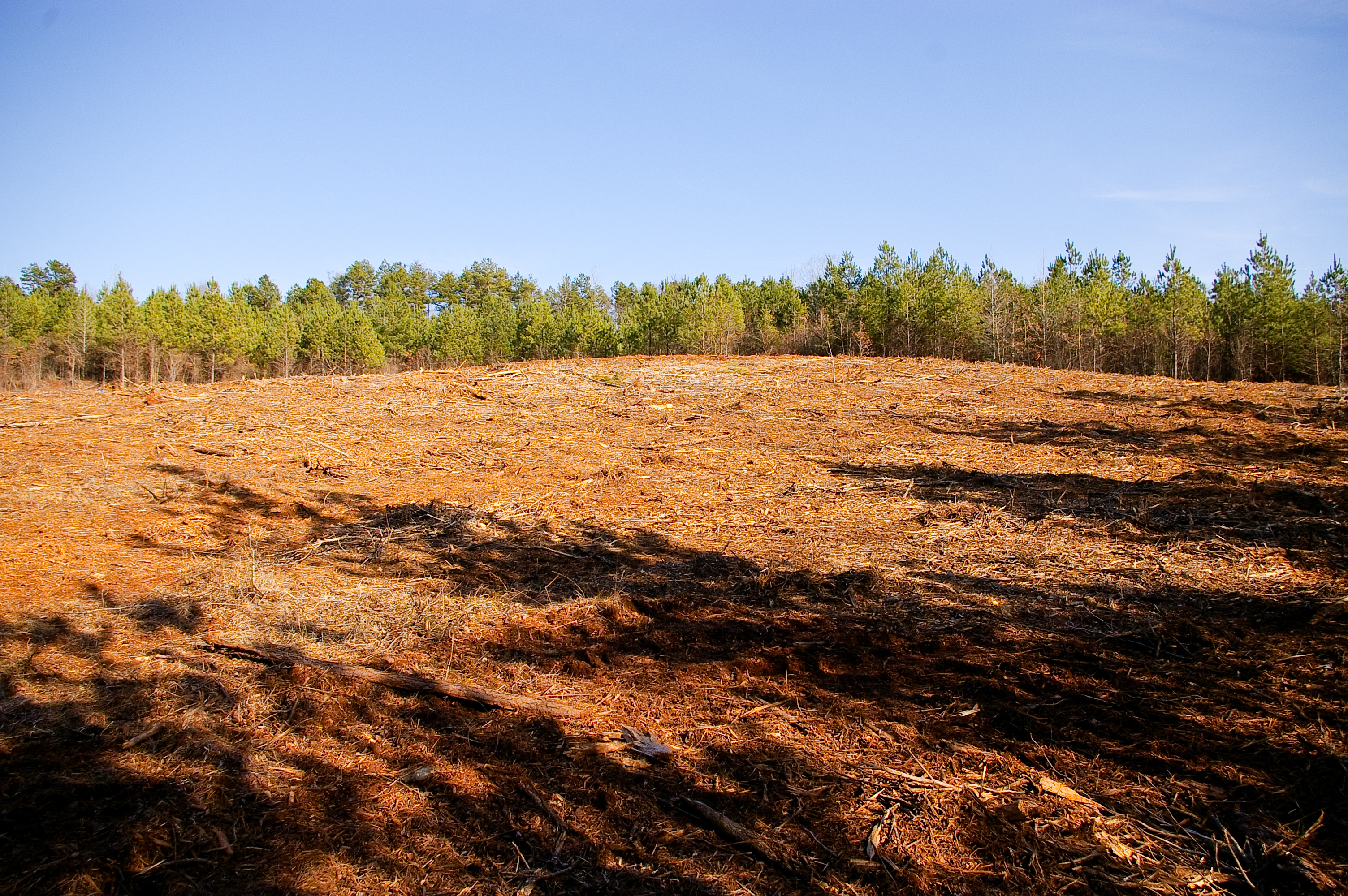
View From Future Home Site
View From Bottom of Hill

View from Driveway
Currahee! "3 miles up, 3 miles down"
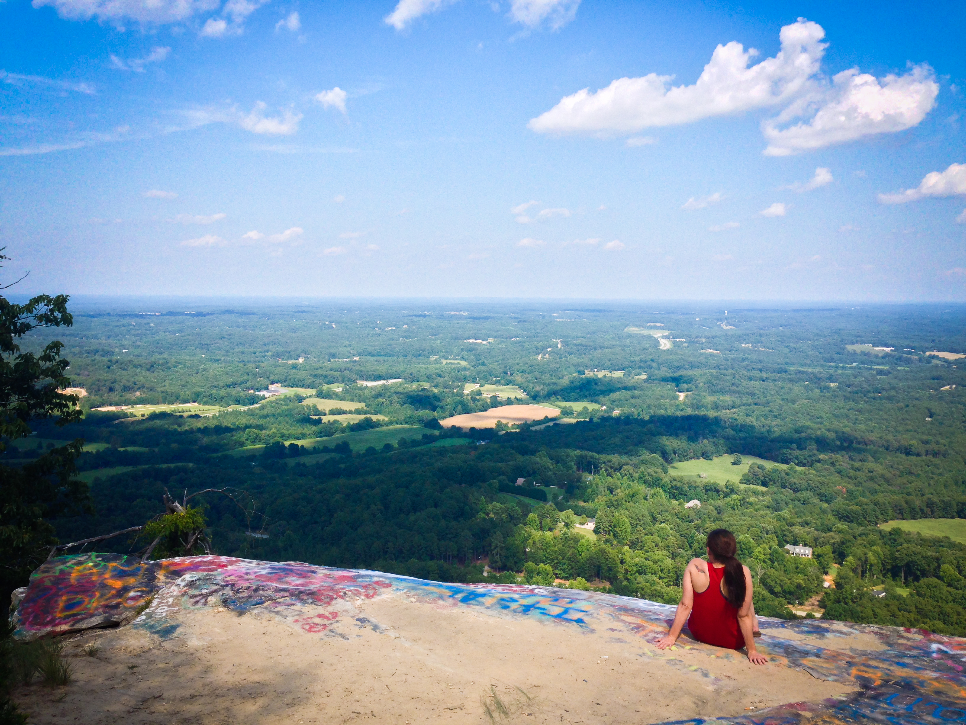
Taking It All In
IMG_3942 - A Photo a Day in 2010 - # 156
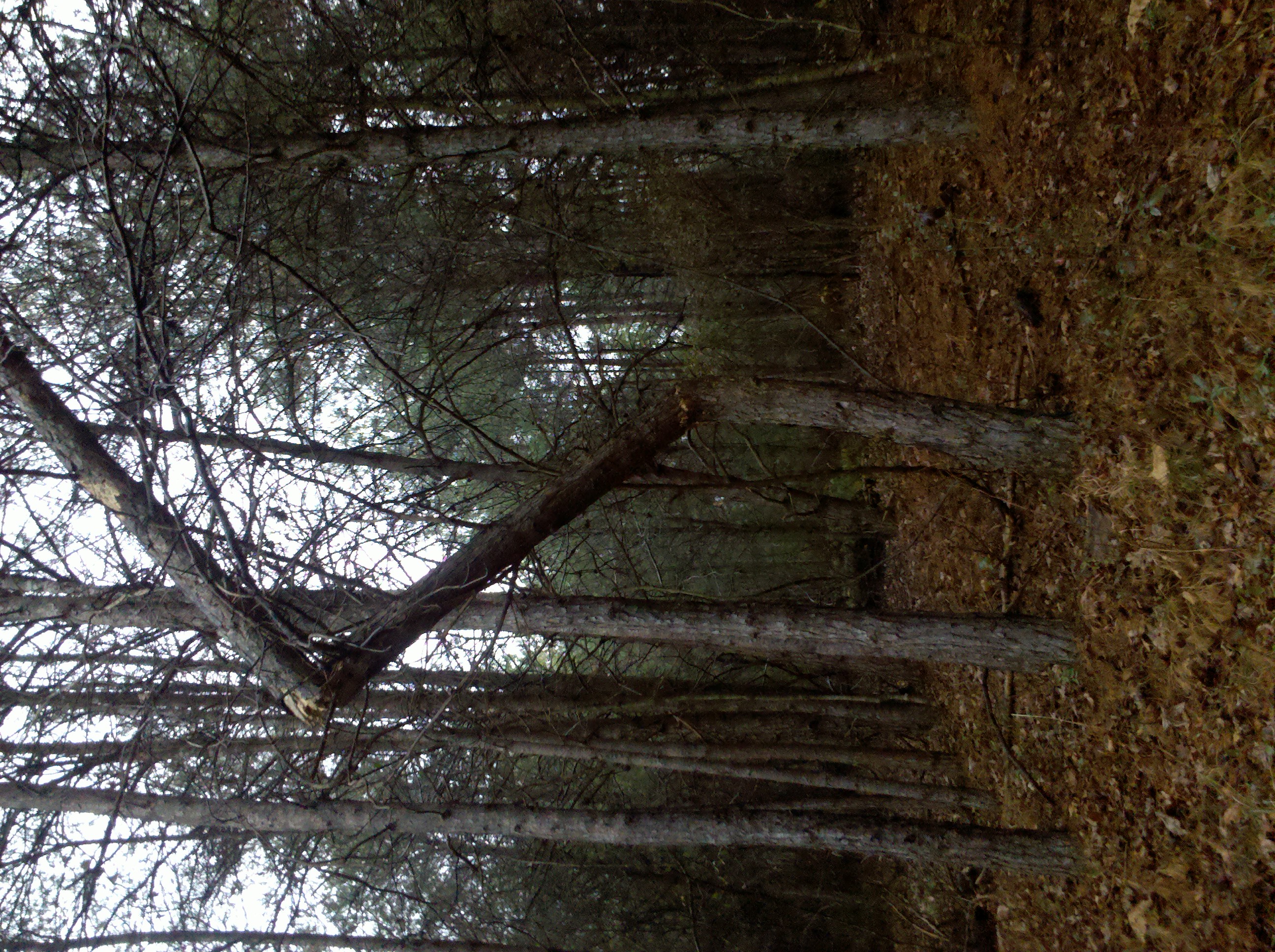
Pine along trail at Wilson Homestead
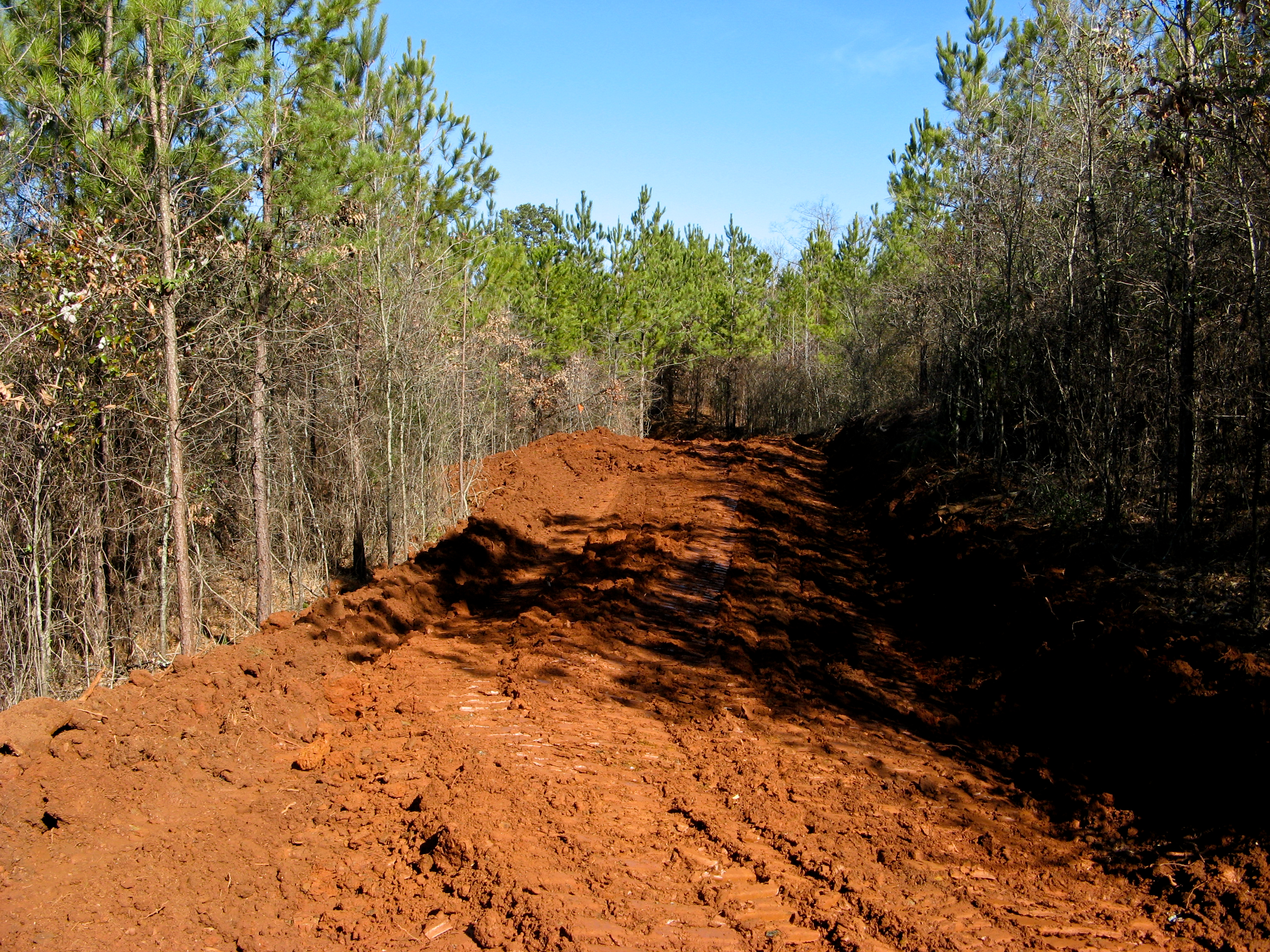
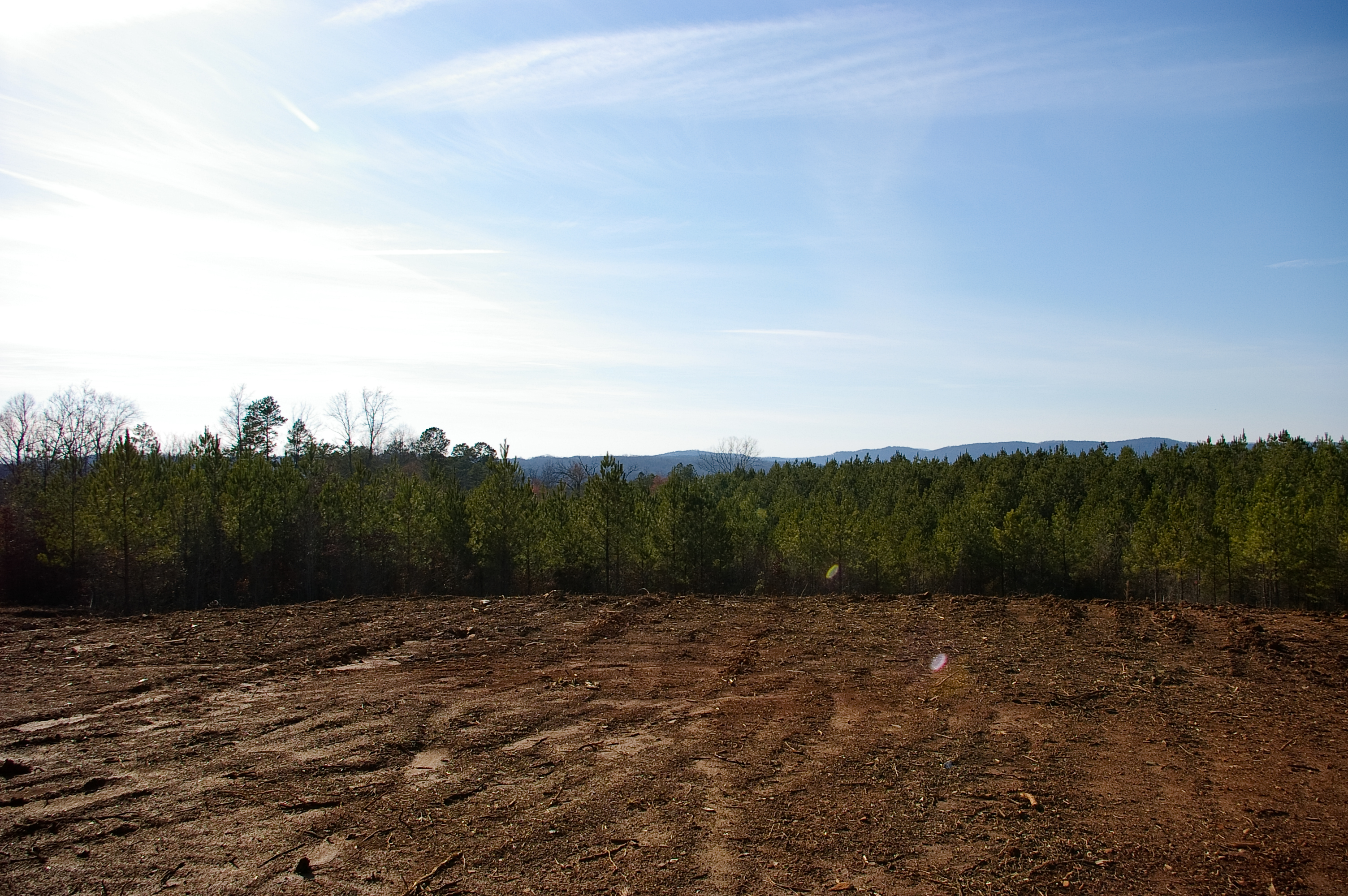
Driveway Construction
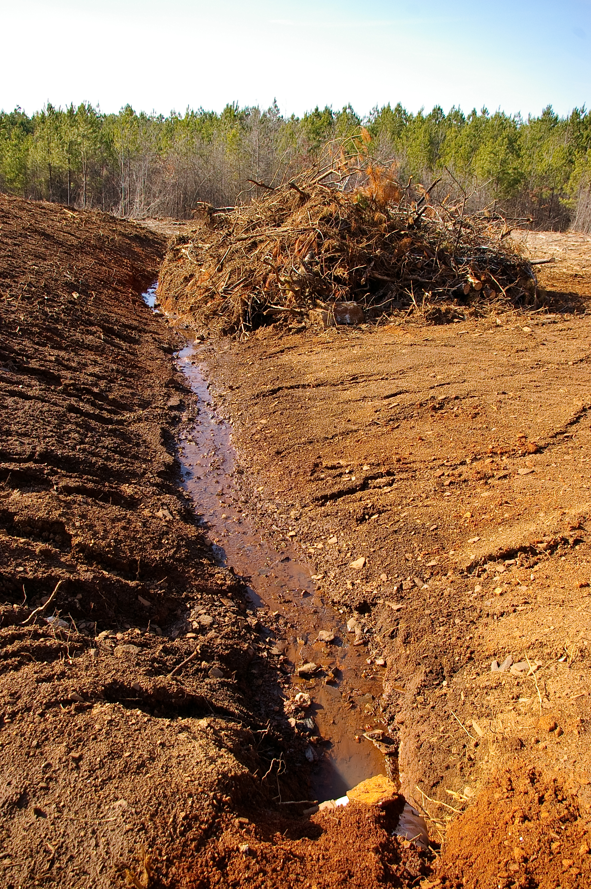
Future Pond Site
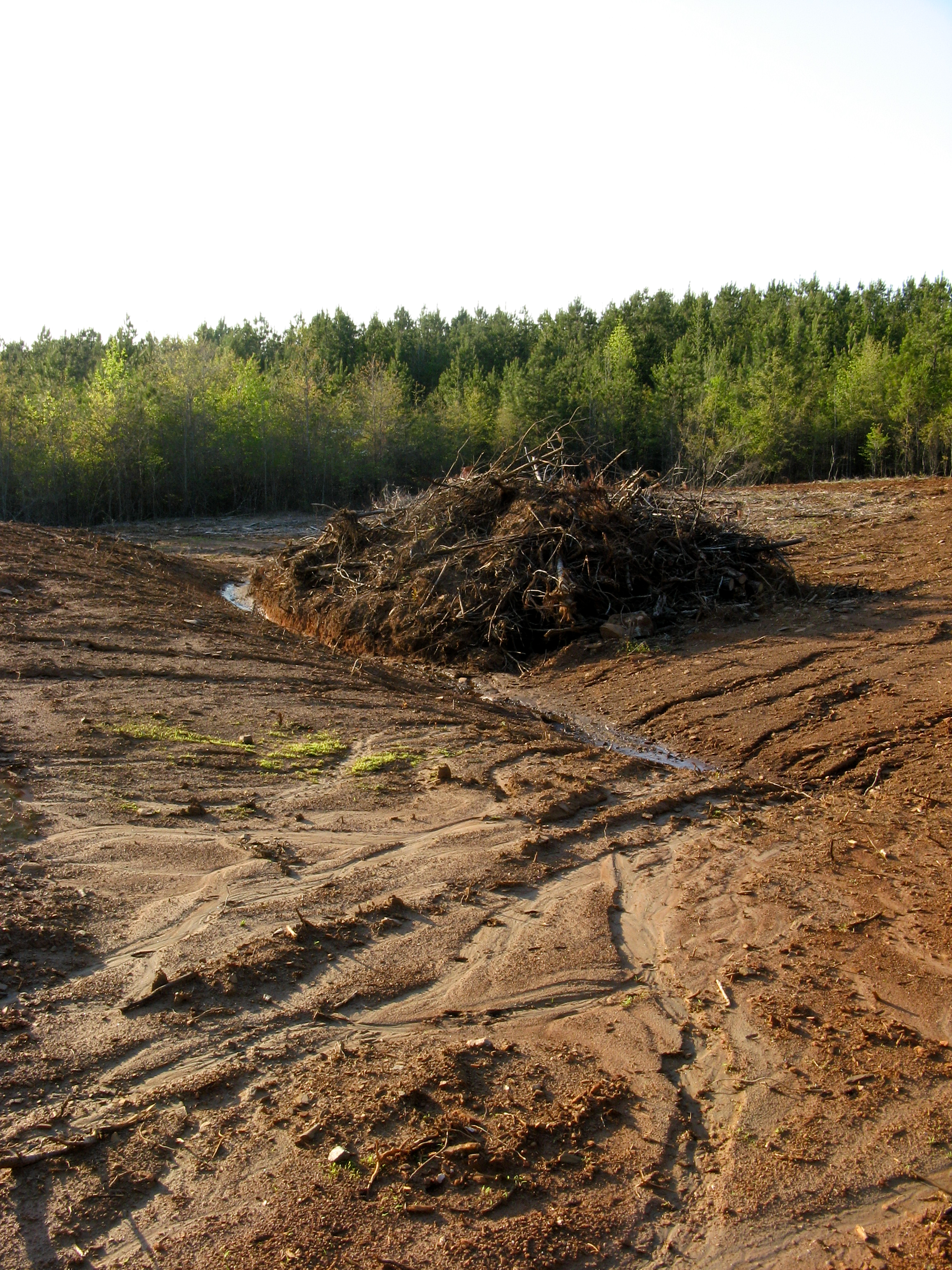
Water was here
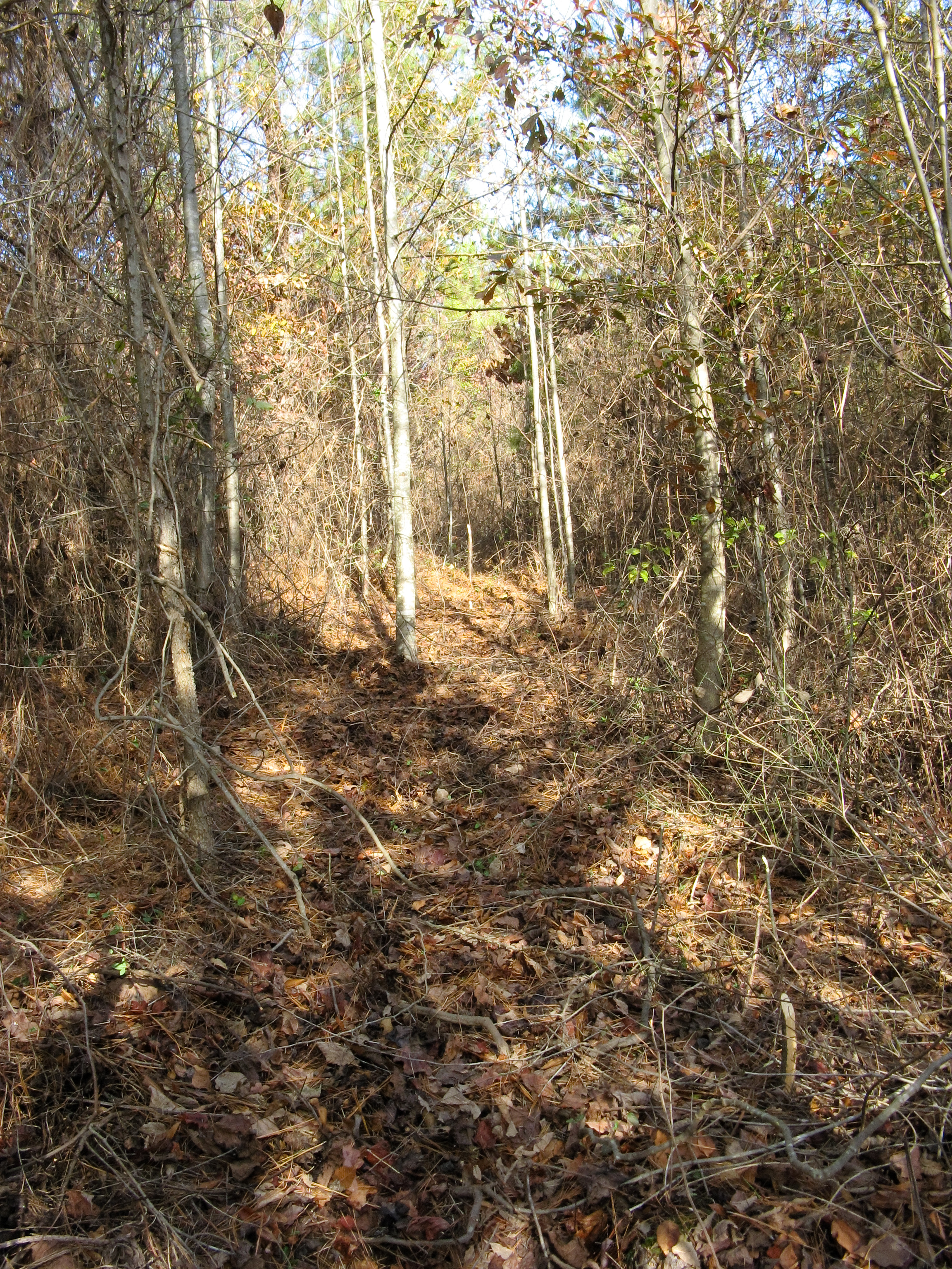
A Cleared Trail
Topographic Map of Co Rd 98, Carnesville, GA, USA
Find elevation by address:

Places near Co Rd 98, Carnesville, GA, USA:
1204 Co Rd 98
Georgia 198
557 Benttree Cir
4389 Damascus Rd
Bennett Road
Carson Farm Road
Banks County
2090 Us-441
3791 Hwy 441 Bypass
2092 Us-441
Homer
Old Hwy N, Alto, GA, USA
2936 Wynn Lake Rd
642 Emory Chambers Rd
223 Sunset Dr
Reservoir 30
Russ Rumsey Road
1103 Apple Pie Ridge Rd
1103 Apple Pie Ridge Rd
1103 Apple Pie Ridge Rd
Recent Searches:
- Elevation of Sattva Horizon, 4JC6+G9P, Vinayak Nagar, Kattigenahalli, Bengaluru, Karnataka, India
- Elevation of Great Brook Sports, Gold Star Hwy, Groton, CT, USA
- Elevation of 10 Mountain Laurels Dr, Nashua, NH, USA
- Elevation of 16 Gilboa Ln, Nashua, NH, USA
- Elevation of Laurel Rd, Townsend, TN, USA
- Elevation of 3 Nestling Wood Dr, Long Valley, NJ, USA
- Elevation of Ilungu, Tanzania
- Elevation of Yellow Springs Road, Yellow Springs Rd, Chester Springs, PA, USA
- Elevation of Rēzekne Municipality, Latvia
- Elevation of Plikpūrmaļi, Vērēmi Parish, Rēzekne Municipality, LV-, Latvia