Elevation of Co Rd 73, Headland, AL, USA
Location: United States > Alabama > Henry County > Headland >
Longitude: -85.412906
Latitude: 31.403456
Elevation: 113m / 371feet
Barometric Pressure: 100KPa
Elevation Map:
Satellite Map:
Related Photos:

Back to School

Can't No Preacherman Save My Soul
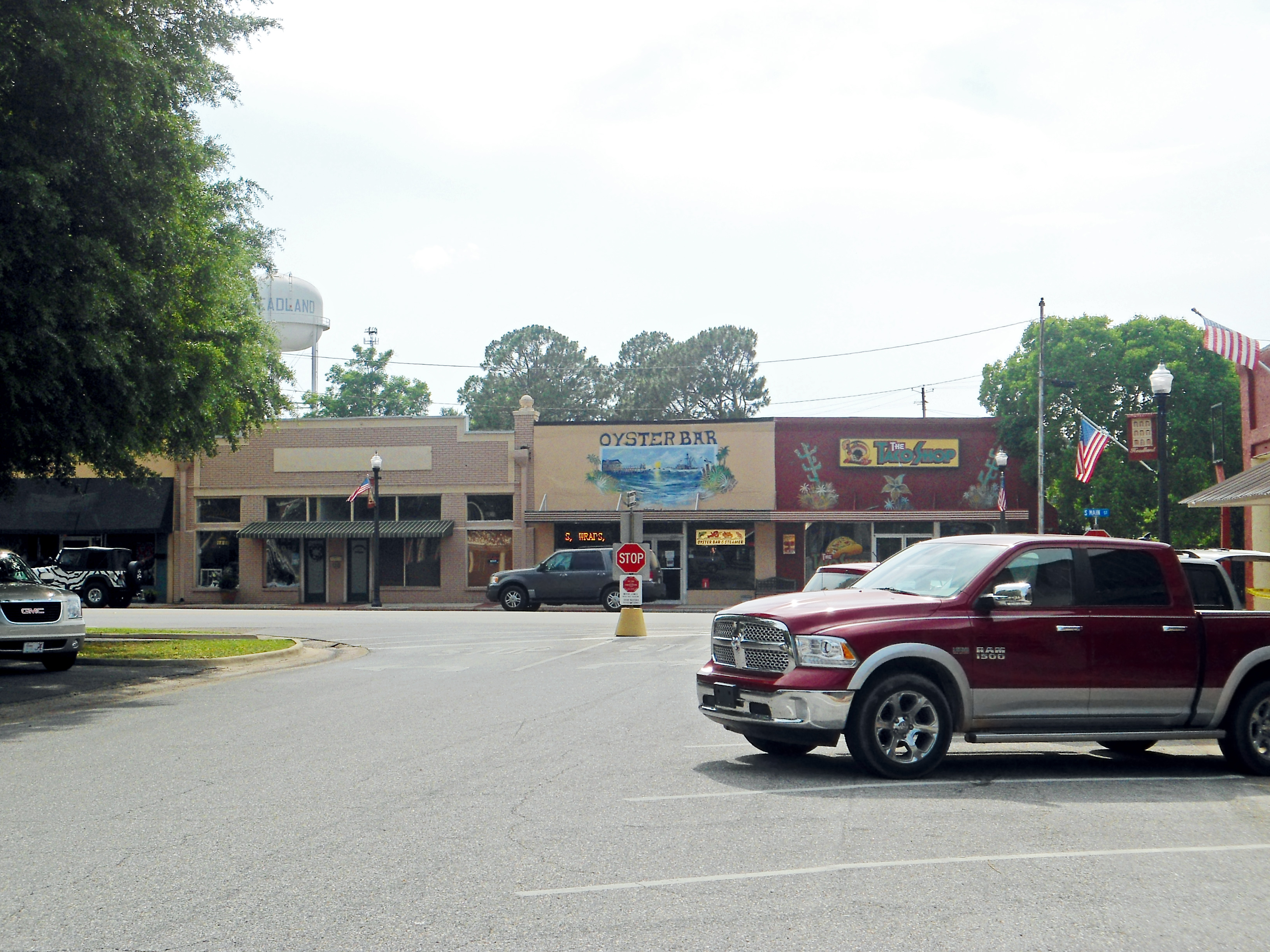
Downtown, Headland, Alabama

Mother Natures beauty

Rural Alabama Powerline..........

Koi Pond

Oranges by the fire hydrant in the parking lot... ???????? #odd #oranges

Day 9 (365-2)

Day 9 (365)

Our Front Yard
Topographic Map of Co Rd 73, Headland, AL, USA
Find elevation by address:

Places near Co Rd 73, Headland, AL, USA:
18 Henry County 44, Headland, AL, USA
S County Rd 67, Midland City, AL, USA
Co Rd 14, Midland City, AL, USA
Newville
372 Co Rd 61
N Railroad St, Newville, AL, USA
Headland
Dothan Regional Airport
307 Peachtree St
Airport Drive
Napier Field
State St, Dothan, AL, USA
Grimes
Co Rd, Dothan, AL, USA
S Co Rd, Midland City, AL, USA
52 Canterbury Ct
Midland City
397 Co Rd 122
3792 Mance Newton Rd
Co Rd 69, Midland City, AL, USA
Recent Searches:
- Elevation of Eldorado do Sul - RS, Brazil
- Elevation of Eldorado do Sul - Parque Eldorado, Eldorado do Sul - RS, -, Brazil
- Elevation of 35 Governors Ln, Hilton Head Island, SC, USA
- Elevation of Orangevale, CA, USA
- Elevation of Doe Cir, Clinton, OH, USA
- Elevation of Narhe, Pune, Maharashtra, India
- Elevation of Martins Mill Ct, Eagle Rock, NC, USA
- Elevation of Kippen, Stirling FK8, UK
- Elevation of Sieveringer Straße, Sieveringer Str., Wien, Austria
- Elevation of Bratskaya Ulitsa, 24, Kurgan, Kurganskaya oblast', Russia