Elevation of Co Rd 69, Midland City, AL, USA
Location: United States > Alabama > Dale County > Midland City >
Longitude: -85.436213
Latitude: 31.525129
Elevation: 136m / 446feet
Barometric Pressure: 100KPa
Elevation Map:
Satellite Map:
Related Photos:

Mother Natures beauty

Rural Alabama Powerline..........

Little neutrinos over Alabama

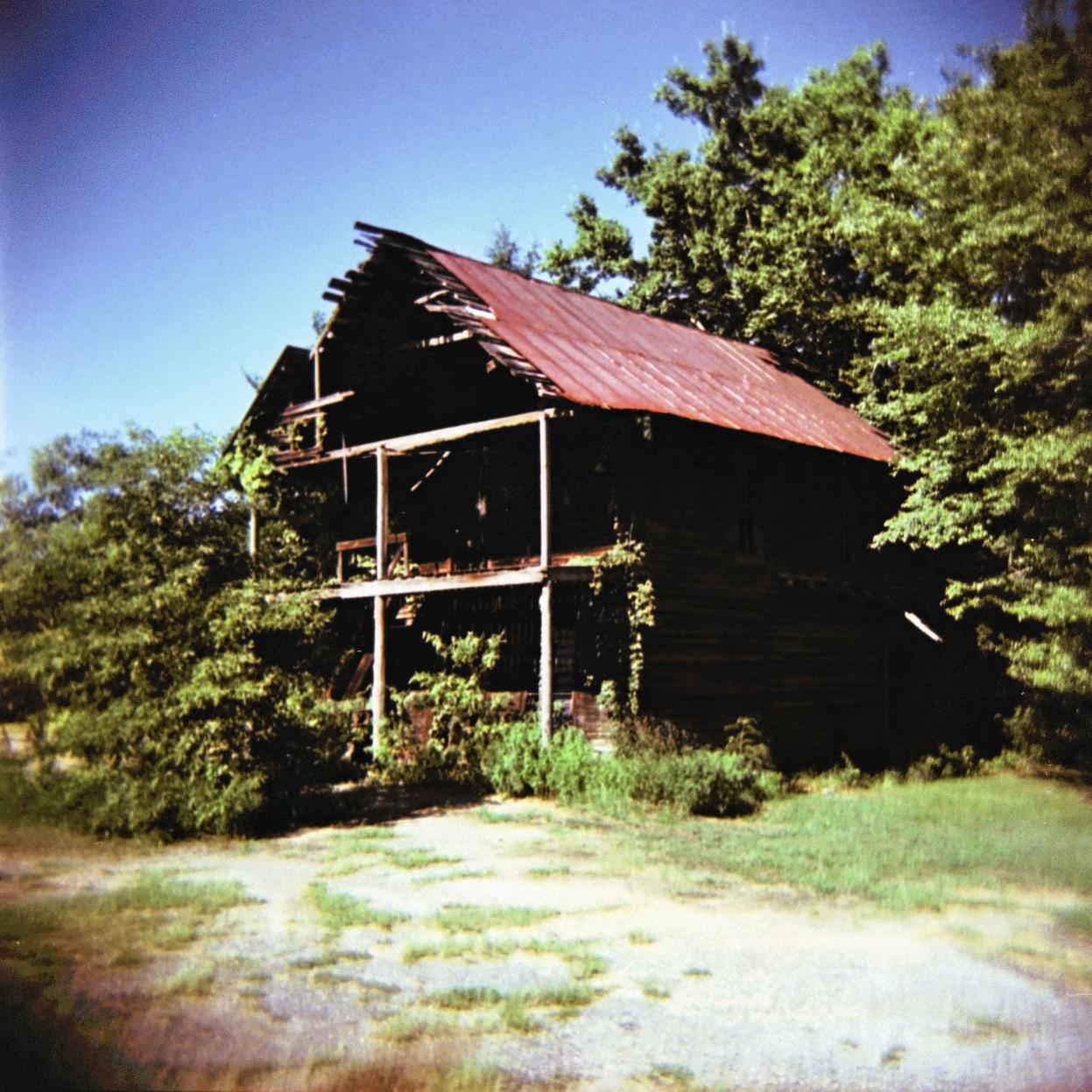
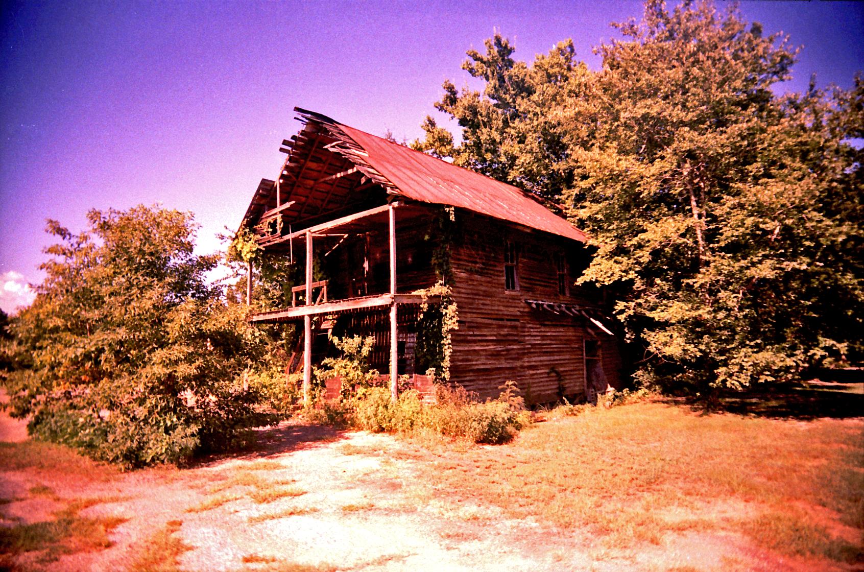
White Barn
Bertha, where have you gone?

Poster | Alabama
Covington Store in Bertha, AL

Covington Store

The old store in Bertha
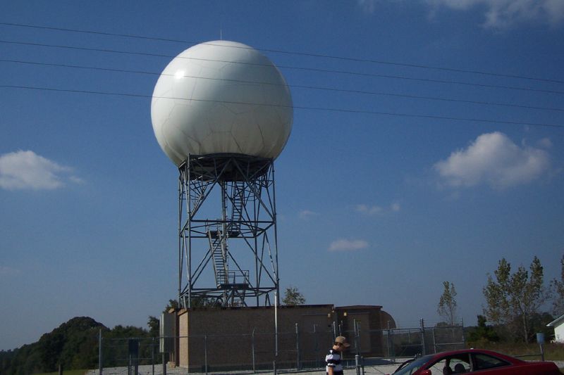
KEOX Radar
Topographic Map of Co Rd 69, Midland City, AL, USA
Find elevation by address:

Places near Co Rd 69, Midland City, AL, USA:
Co Rd 67, Skipperville, AL, USA
AL-, Clopton, AL, USA
Clopton
Skipperville
22 Lury Walker Rd, Clio, AL, USA
Co Rd 36, Ozark, AL, USA
Co Rd 68, Skipperville, AL, USA
Co Rd 50, Ozark, AL, USA
Co Rd 15, Skipperville, AL, USA
Co Rd 15, Ariton, AL, USA
Hawridge Rd, Ozark, AL, USA
1442 Jernigan Rd
AL-, Ariton, AL, USA
Dr. Hassan Kesserwani
Co Rd, Ariton, AL, USA
Co Rd 36, Ozark, AL, USA
AL-51, Ariton, AL, USA
Ariton
15 Co Rd 52, Ariton, AL, USA
Recent Searches:
- Elevation of Falling Spring Rd, Clyde, NC, USA
- Elevation of Kingsfield St, Castle Rock, CO, USA
- Elevation of AMELIA CT HSE, VA, USA
- Elevation of Abbey Dr, Virginia Beach, VA, USA
- Elevation of Brooks Lp, Spearfish, SD, USA
- Elevation of Panther Dr, Maggie Valley, NC, USA
- Elevation of Jais St - Wadi Shehah - Ras al Khaimah - United Arab Emirates
- Elevation of Shawnee Avenue, Shawnee Ave, Easton, PA, USA
- Elevation of Scenic Shore Dr, Kingwood Area, TX, USA
- Elevation of W Prive Cir, Delray Beach, FL, USA