Elevation of Co Rd 15, Ariton, AL, USA
Location: United States > Alabama > Dale County > Ariton >
Longitude: -85.607229
Latitude: 31.617139
Elevation: 146m / 479feet
Barometric Pressure: 100KPa
Elevation Map:
Satellite Map:
Related Photos:
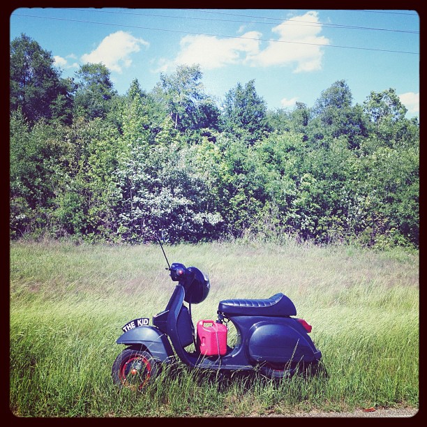
So pretty and yet so sad. #cannonball

Pink Cloud Sunrise 12.19.13

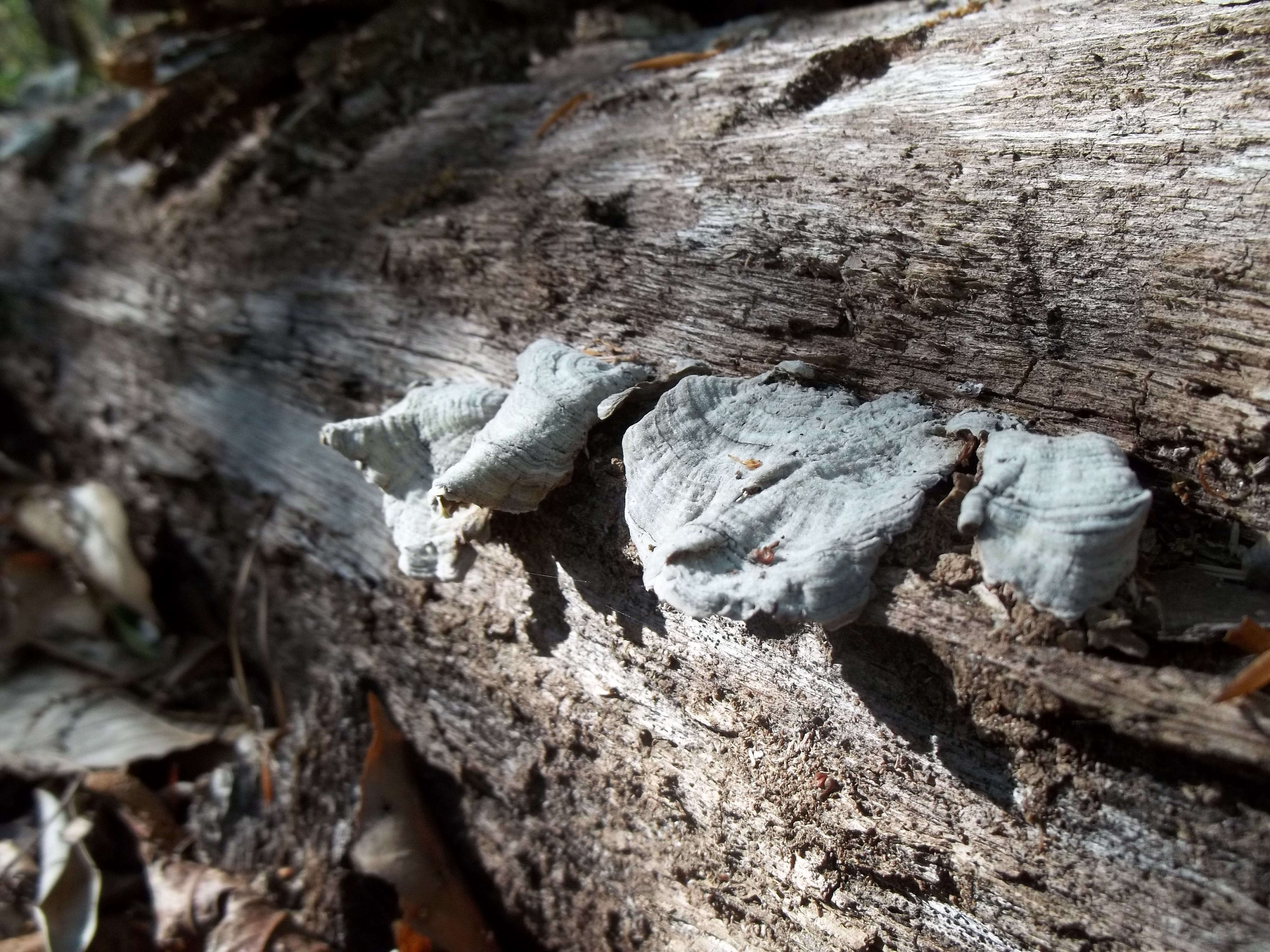
Termite Log
Blue Springs 5-27-11 200

Blue Springs 5-27-11 381
Work flow

Post Office 36017 (Clio, Alabama)

Post Office 36311 (Ariton, Alabama)

The Moon This Morning 12.19.13

Sunrise Through The Trees 12.19.13

Hi-Way Rest Motel neon sign
Tree Funk

Alabama Shaded Sun
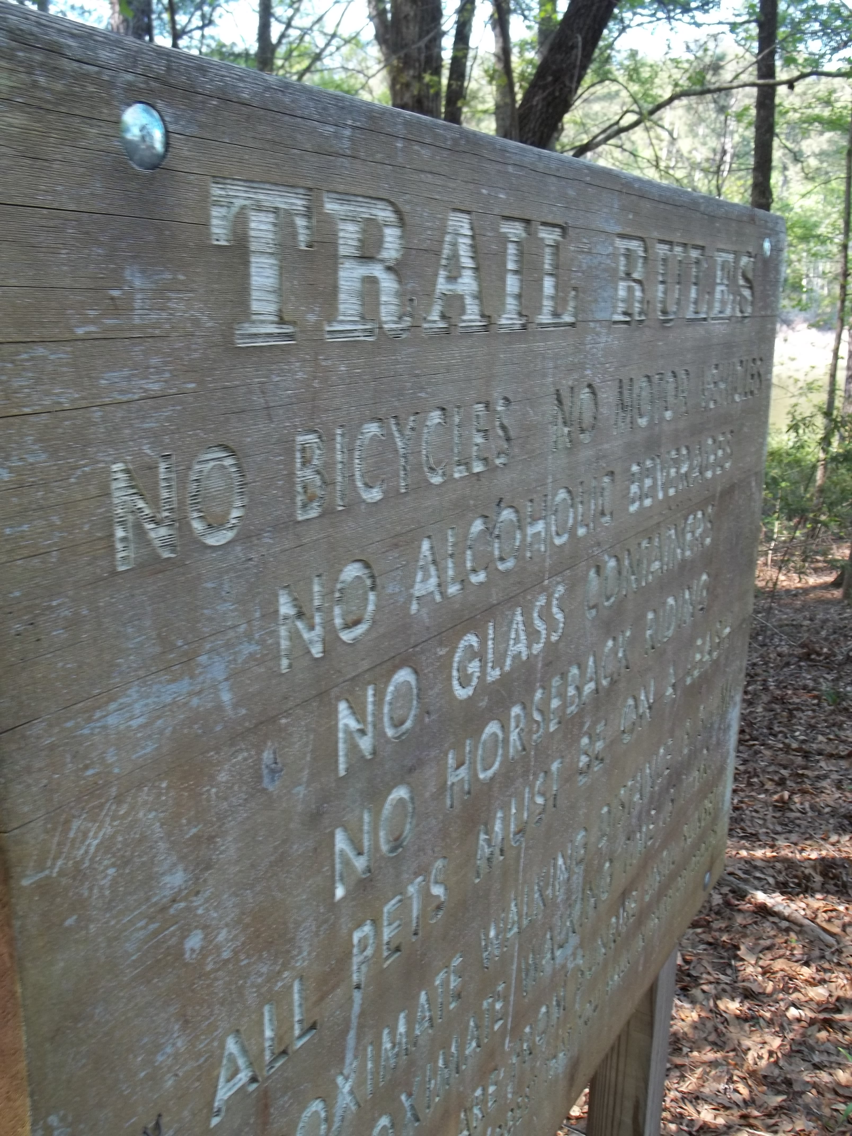
The Rules

Abandoned store, Clio, Tenn.
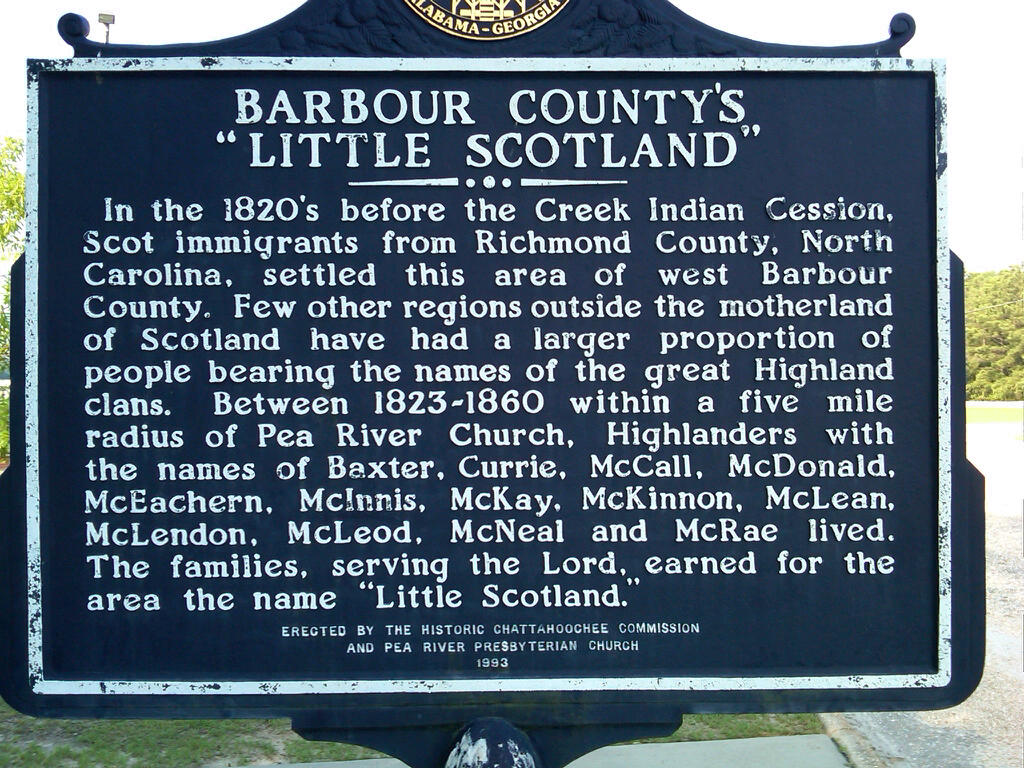
Little Scotland in Clio, AL. See if you can find the reason I have a connection to the area. :)

Motel Sign
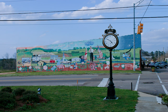
Mural in Clio, Alabama
No tree
Topographic Map of Co Rd 15, Ariton, AL, USA
Find elevation by address:

Places near Co Rd 15, Ariton, AL, USA:
Co Rd 68, Skipperville, AL, USA
Co Rd 15, Skipperville, AL, USA
Skipperville
AL-, Ariton, AL, USA
Co Rd 50, Ozark, AL, USA
Ariton
AL-51, Ariton, AL, USA
Hawridge Rd, Ozark, AL, USA
Co Rd, Ariton, AL, USA
1442 Jernigan Rd
Co Rd 36, Ozark, AL, USA
Co Rd 36, Ozark, AL, USA
Dr. Hassan Kesserwani
Co Rd 67, Skipperville, AL, USA
15 Co Rd 52, Ariton, AL, USA
22 Lury Walker Rd, Clio, AL, USA
AL-, Clopton, AL, USA
Clopton
Co Rd 69, Midland City, AL, USA
Recent Searches:
- Elevation of Kingsfield St, Castle Rock, CO, USA
- Elevation of AMELIA CT HSE, VA, USA
- Elevation of Abbey Dr, Virginia Beach, VA, USA
- Elevation of Brooks Lp, Spearfish, SD, USA
- Elevation of Panther Dr, Maggie Valley, NC, USA
- Elevation of Jais St - Wadi Shehah - Ras al Khaimah - United Arab Emirates
- Elevation of Shawnee Avenue, Shawnee Ave, Easton, PA, USA
- Elevation of Scenic Shore Dr, Kingwood Area, TX, USA
- Elevation of W Prive Cir, Delray Beach, FL, USA
- Elevation of S Layton Cir W, Layton, UT, USA