Elevation of Co Rd 55, Piedmont, AL, USA
Location: United States > Alabama > Calhoun County > Piedmont >
Longitude: -85.577714
Latitude: 33.8475649
Elevation: 287m / 942feet
Barometric Pressure: 98KPa
Elevation Map:
Satellite Map:
Related Photos:
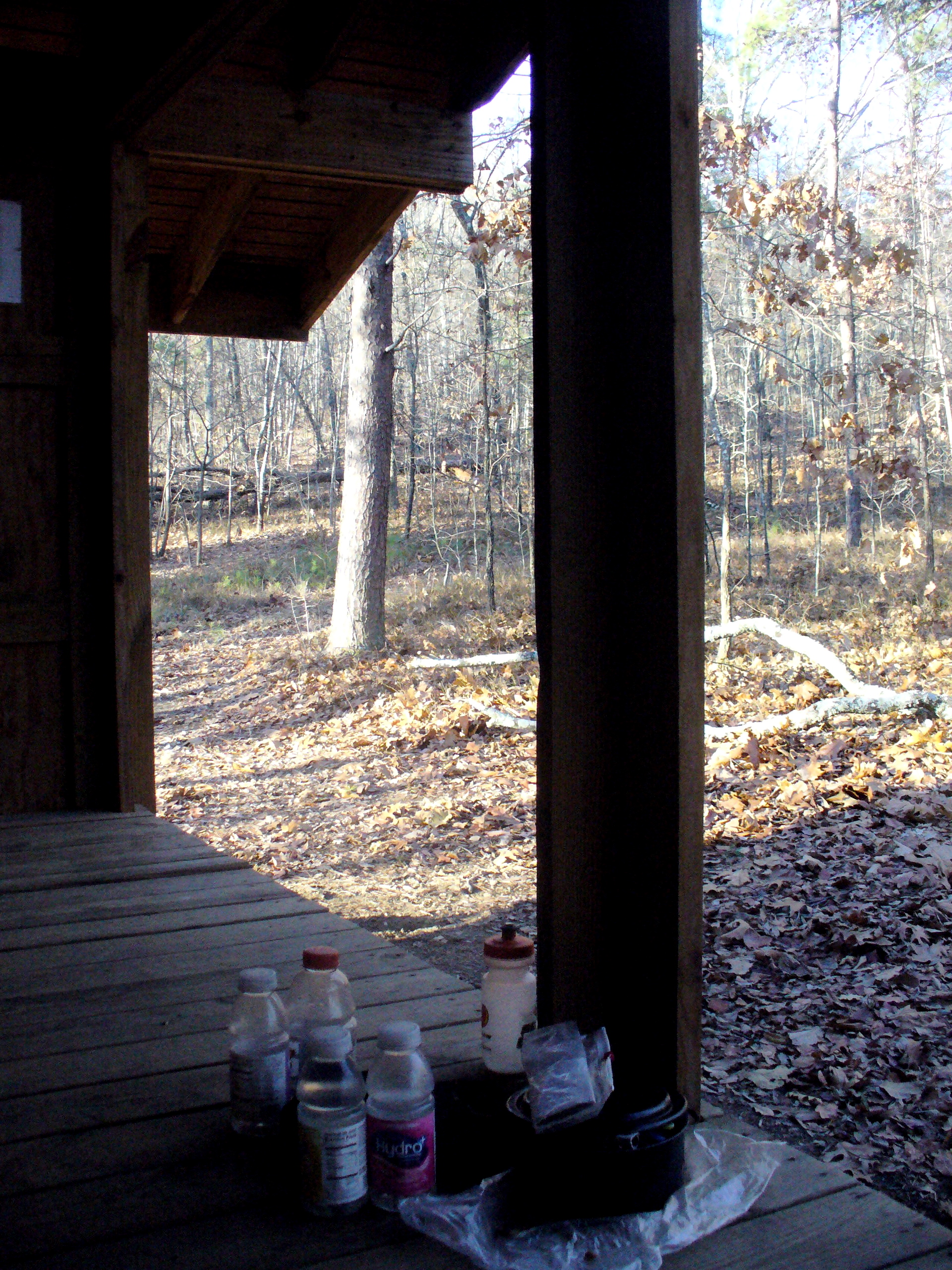
View from the shelter

Nom Nom Nom
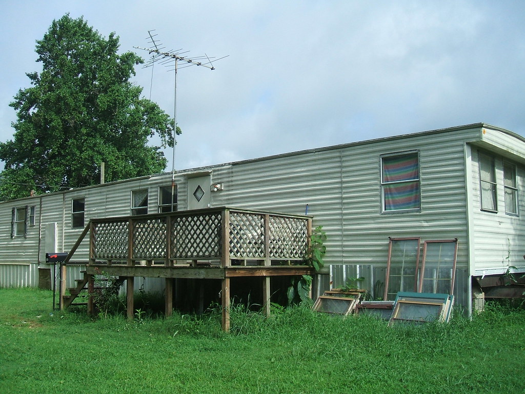
House Trailer Front Right

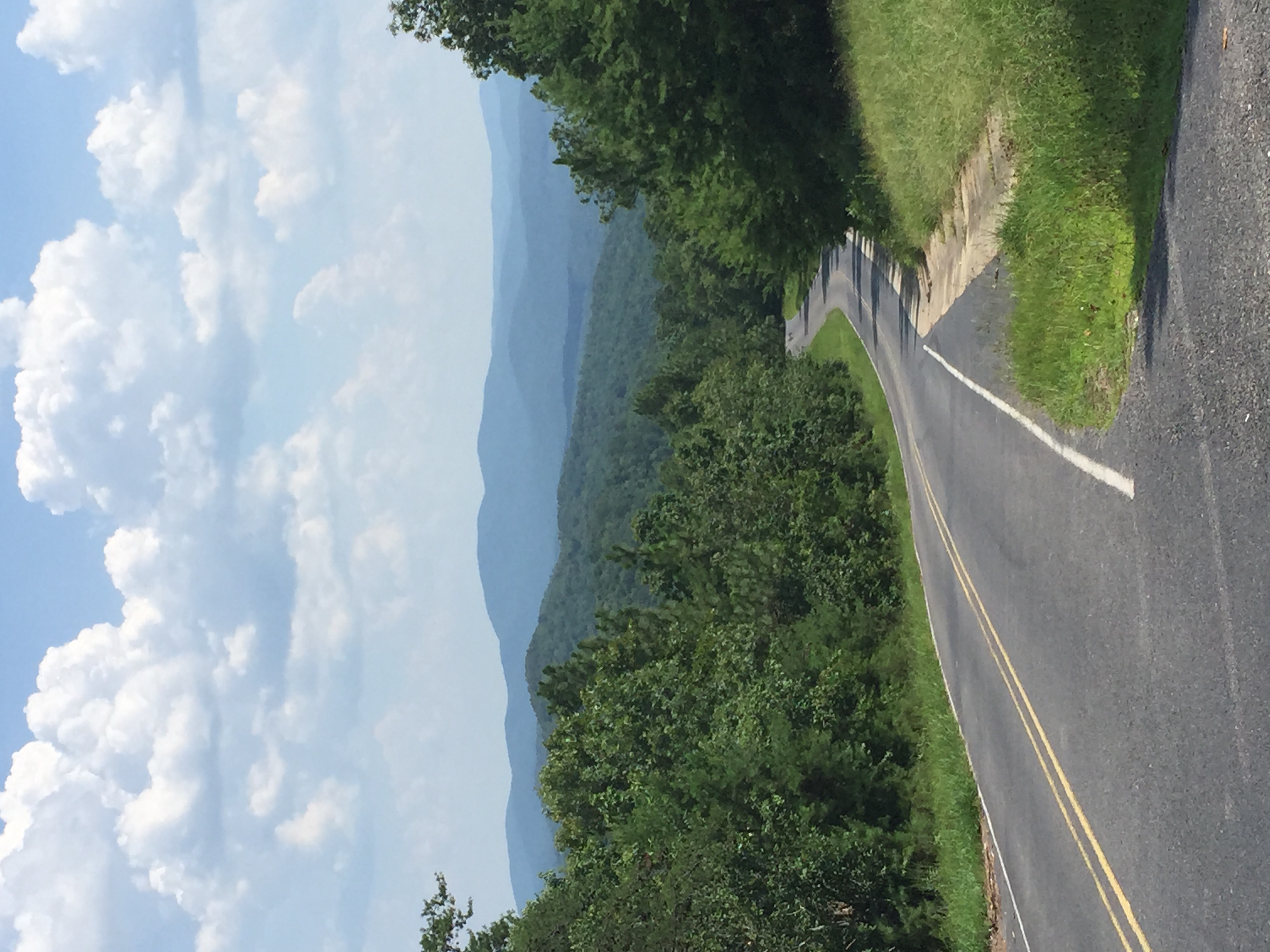
Digger Mountain

Extended exposure of sky

Light at dusk

Along the Bike Path
PS DSC_0223
MFs eye 005

Entering Cherokee County (Cherokee County, Alabama)
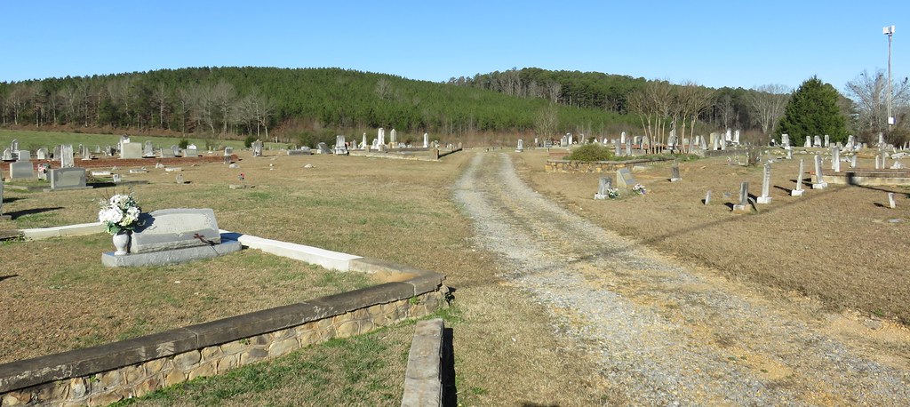
Goshen Cemetery (Cherokee County, Alabama)
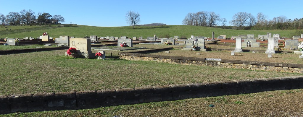
Goshen Cemetery (Cherokee County, Alabama)
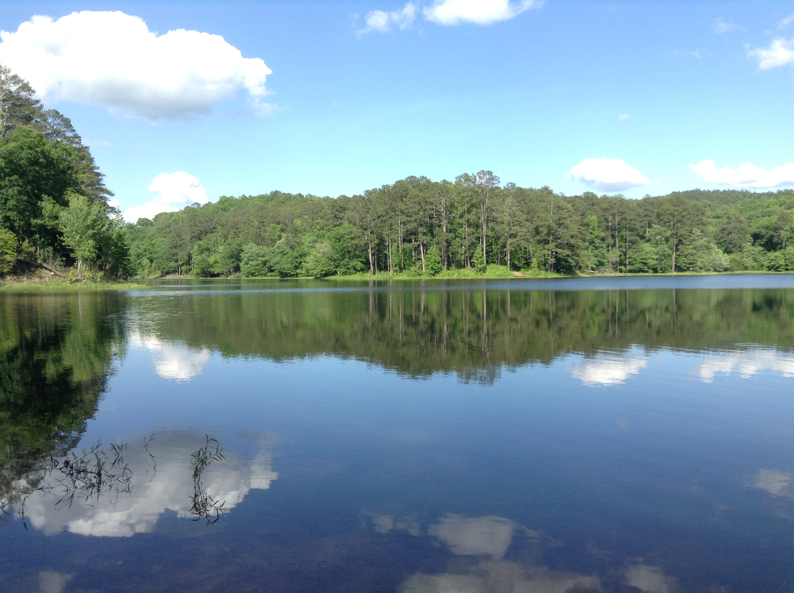
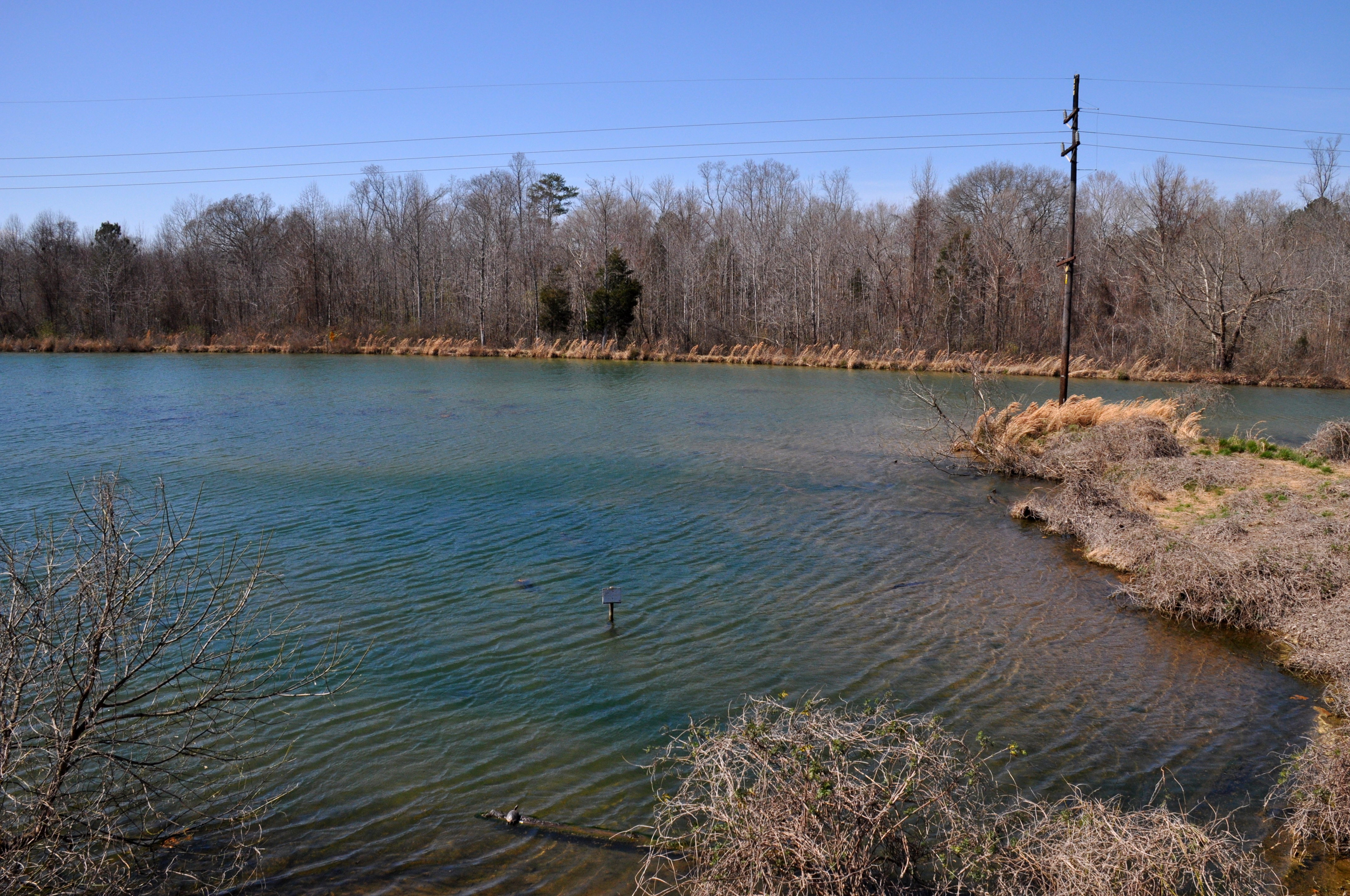
Sweet water Lake Talladega NF
Topographic Map of Co Rd 55, Piedmont, AL, USA
Find elevation by address:

Places near Co Rd 55, Piedmont, AL, USA:
Rabbittown Rd, Piedmont, AL, USA
1100 Hanks Rd
565 Duggar Mountain Rd
511 Fagan St
Piedmont
13468 Co Rd 55
Oak Level
AL-21, Piedmont, AL, USA
50 Rabbittown Rd, Piedmont, AL, USA
Red Road 55
AL-21, Piedmont, AL, USA
85 Laurel Cir Se
Roy Webb Rd, Piedmont, AL, USA
Roy Webb Rd, Jacksonville, AL, USA
909 9th Ave Ne
1307 6th Ave Ne
911 4th Ave Ne
204 Wind Ridge Ne
101 11th St Ne
101 11th St Nw
Recent Searches:
- Elevation of Dog Leg Dr, Minden, NV, USA
- Elevation of Dog Leg Dr, Minden, NV, USA
- Elevation of Kambingan Sa Pansol Atbp., Purok 7 Pansol, Candaba, Pampanga, Philippines
- Elevation of Pinewood Dr, New Bern, NC, USA
- Elevation of Mountain View, CA, USA
- Elevation of Foligno, Province of Perugia, Italy
- Elevation of Blauwestad, Netherlands
- Elevation of Bella Terra Blvd, Estero, FL, USA
- Elevation of Estates Loop, Priest River, ID, USA
- Elevation of Woodland Oak Pl, Thousand Oaks, CA, USA