Elevation of 85 Laurel Cir SE, Jacksonville, AL, USA
Location: United States > Alabama > Calhoun County > Jacksonville >
Longitude: -85.7152
Latitude: 33.7761
Elevation: 448m / 1470feet
Barometric Pressure: 96KPa
Elevation Map:
Satellite Map:
Related Photos:

Empty earning, a fierce returning

Moorehead Mountain

Bains Gap Falls

Daggum Truck

Paul Snow Stadium

Nom Nom Nom

Unforgettable Signage
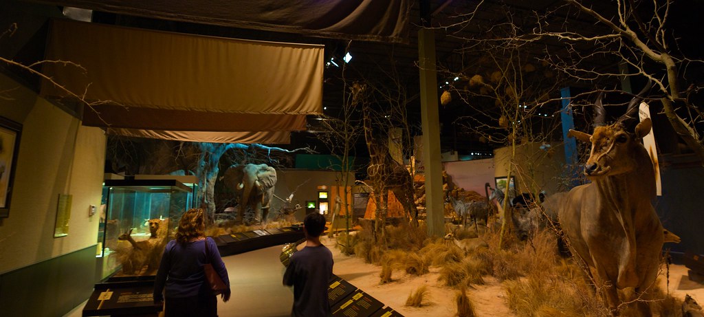
Why you should go to the Anniston Museum of Natural History

Coca-Cola

Beaded Sandals

I wonder why this one died?

Please Scratch My Feet

African Exhibit

Bains Gap Moorehead Mountain

Here I Lie Golden, Till Death Be No More

Bains Gap

Bains Gap

Rainy Day View

Anniston Thanksgiving

RED BARN

Lower Falls at Bains Gap

Bridge over Bains Gap Creek

Cotton Patch
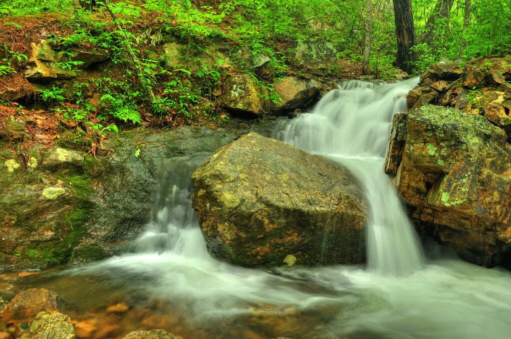
Bains Gap Falls

Lower Bains Gap Falls

Bains Gap Falls

Anniston Museum of Natural History 800 Museum Drive Anniston, AL 36206

Sweetwater Lake - Talladega NF

Hills Of Ft McClellan

PS DSC_0223

Sweet water Lake Talladega NF
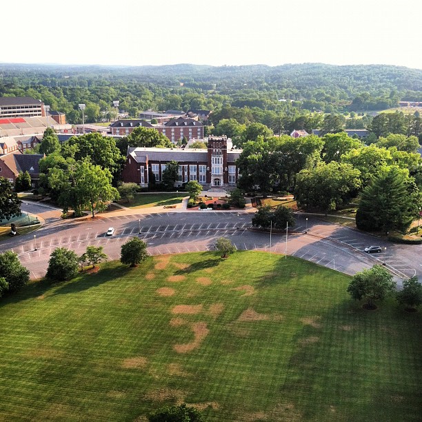
Bibb Graves from above. A lot of memories there for me.

Camp Fasola - 2007

Camp Fasola - 2007

Camp Fasola - 2007

Sunset in Anniston Alabama
Anniston Museum of Natural History 800 Museum Drive Anniston, AL 36206

Extended exposure of sky
Topographic Map of 85 Laurel Cir SE, Jacksonville, AL, USA
Find elevation by address:

Places near 85 Laurel Cir SE, Jacksonville, AL, USA:
50 Rabbittown Rd, Piedmont, AL, USA
Red Road 55
Pelham Rd S, Jacksonville, AL, USA
3010 Finley St Sw
Jacksonville
109 D St Sw
909 9th Ave Ne
911 4th Ave Ne
1307 6th Ave Ne
101 11th St Ne
Jacksonville State University
101 11th St Nw
204 Wind Ridge Ne
Tredegar Cove Rd, Jacksonville, AL, USA
AL-21, Piedmont, AL, USA
Roy Webb Rd, Jacksonville, AL, USA
Rabbittown Rd, Piedmont, AL, USA
1086 Charlie Penny Rd
AL-21, Piedmont, AL, USA
Roy Webb Rd, Piedmont, AL, USA
Recent Searches:
- Elevation of Dog Leg Dr, Minden, NV, USA
- Elevation of Dog Leg Dr, Minden, NV, USA
- Elevation of Kambingan Sa Pansol Atbp., Purok 7 Pansol, Candaba, Pampanga, Philippines
- Elevation of Pinewood Dr, New Bern, NC, USA
- Elevation of Mountain View, CA, USA
- Elevation of Foligno, Province of Perugia, Italy
- Elevation of Blauwestad, Netherlands
- Elevation of Bella Terra Blvd, Estero, FL, USA
- Elevation of Estates Loop, Priest River, ID, USA
- Elevation of Woodland Oak Pl, Thousand Oaks, CA, USA