Elevation of Co Rd 47, Perdido, AL, USA
Location: United States > Alabama > Baldwin County > Perdido >
Longitude: -87.627429
Latitude: 31.007365
Elevation: 71m / 233feet
Barometric Pressure: 100KPa
Elevation Map:
Satellite Map:
Related Photos:
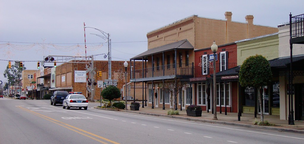
Downtown Atmore, Alabama

Spicebush Swallowtail

Pitcher Plant Pano
DSC_0483-Edit
DSC_0468-Edit

DSC_0561.jpg

DSC_0472.jpg
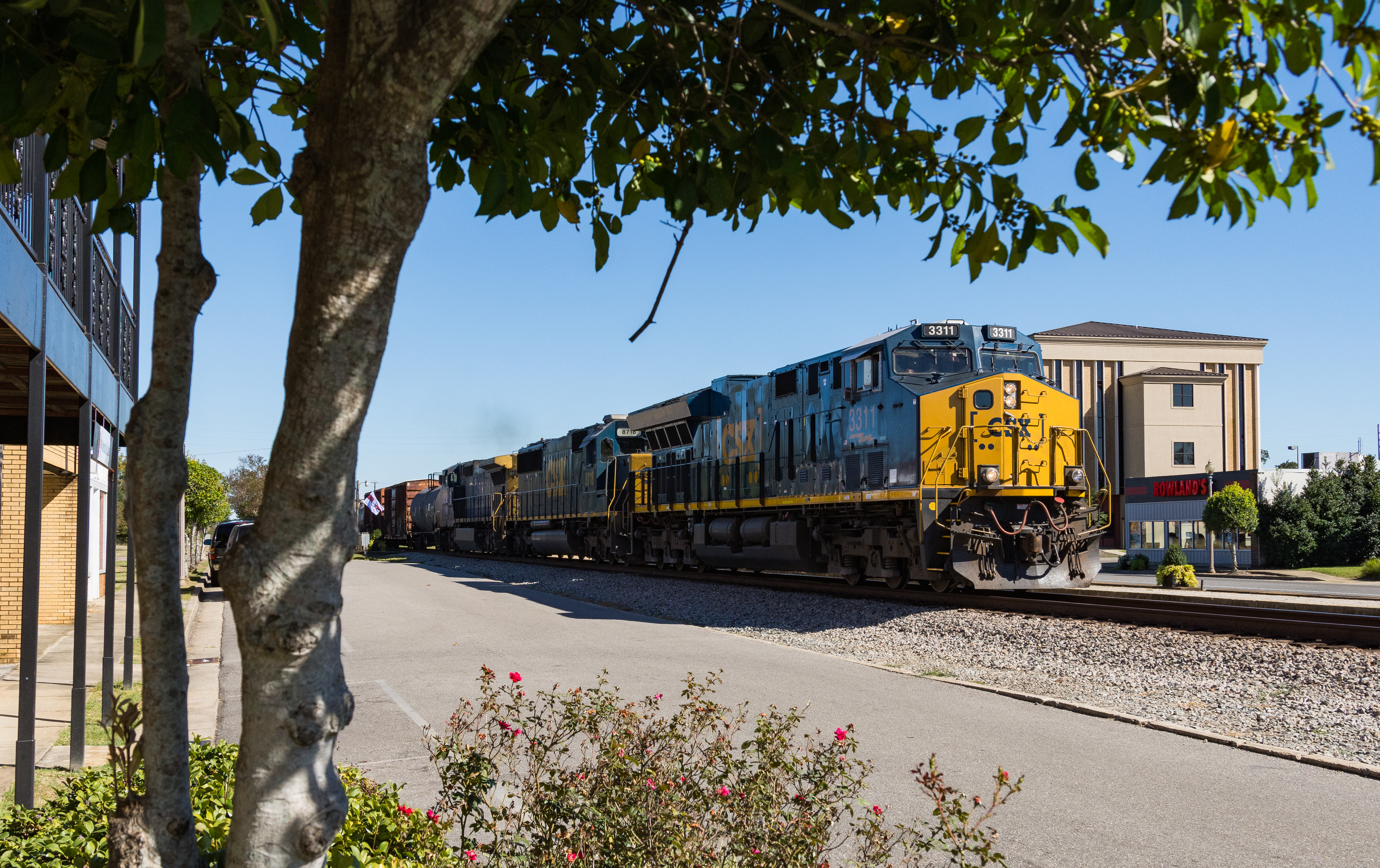
I609 Atmore Alabama
P1110551-Pano
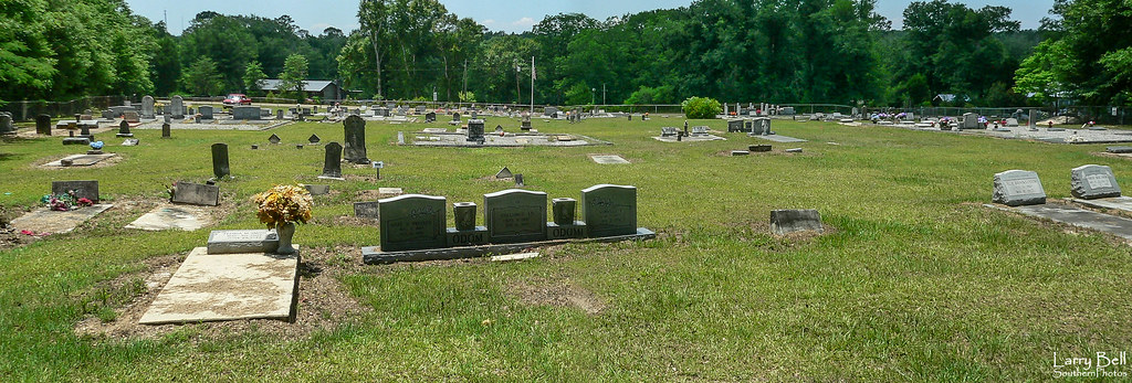
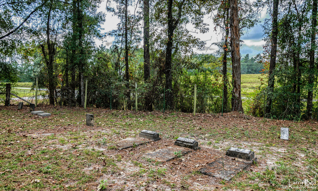
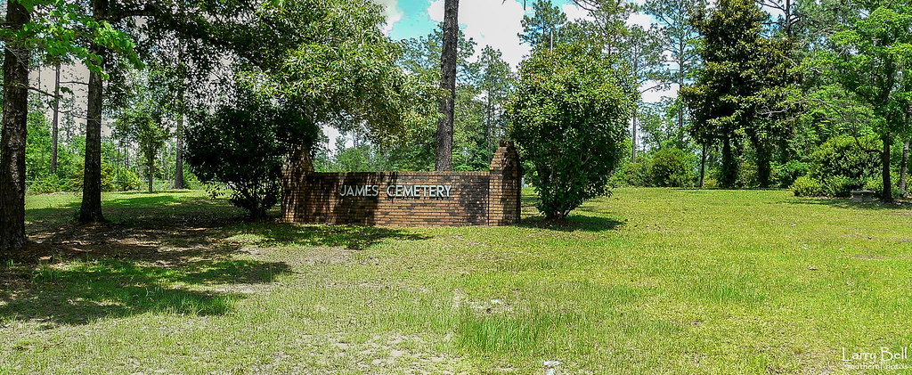
Sullivan Cemetery 1
Topographic Map of Co Rd 47, Perdido, AL, USA
Find elevation by address:

Places near Co Rd 47, Perdido, AL, USA:
Perdido
22775 Co Rd 61
James Rd, Atmore, AL, USA
Cool Creek Lane
2897 Woods Rd
Grubbs St, Atmore, AL, USA
92 Middleton Ln, Atmore, AL, USA
4121 Rockaway Creek Rd
Freemanville Dr, Atmore, AL, USA
Atmore
Dean Ln, Atmore, AL, USA
Medical Park Dr, Atmore, AL, USA
Poarch Rd, Atmore, AL, USA
1587 Airport Rd
2211 Old Bratt Rd
Old Bratt Rd, Atmore, AL, USA
AL-21, Atmore, AL, USA
20 Booneville Rd, Atmore, AL, USA
11999 Maytower Rd
Robinsonville Rd, Atmore, AL, USA
Recent Searches:
- Elevation of Kambingan Sa Pansol Atbp., Purok 7 Pansol, Candaba, Pampanga, Philippines
- Elevation of Pinewood Dr, New Bern, NC, USA
- Elevation of Mountain View, CA, USA
- Elevation of Foligno, Province of Perugia, Italy
- Elevation of Blauwestad, Netherlands
- Elevation of Bella Terra Blvd, Estero, FL, USA
- Elevation of Estates Loop, Priest River, ID, USA
- Elevation of Woodland Oak Pl, Thousand Oaks, CA, USA
- Elevation of Brownsdale Rd, Renfrew, PA, USA
- Elevation of Corcoran Ln, Suffolk, VA, USA