Elevation of Cool Creek Lane, Cool Creek Ln, Alabama, USA
Location: United States > Alabama > Escambia County > Atmore >
Longitude: -87.526238
Latitude: 31.0140103
Elevation: 78m / 256feet
Barometric Pressure: 100KPa
Elevation Map:
Satellite Map:
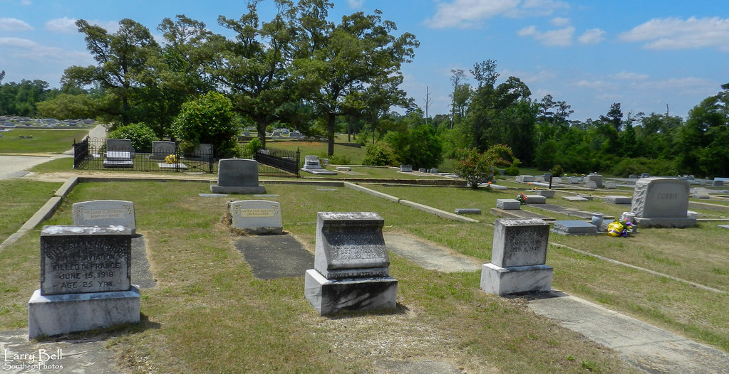
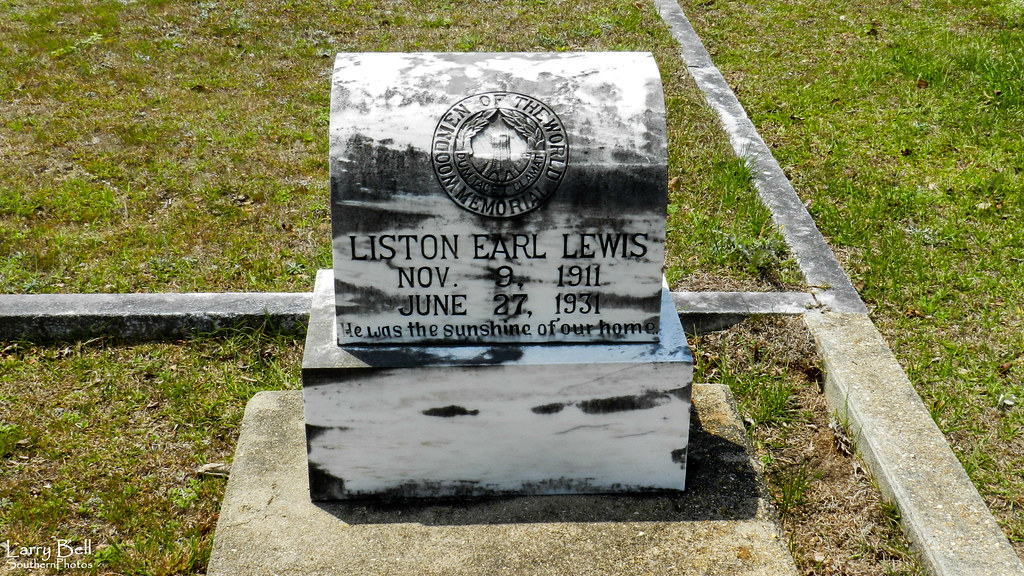
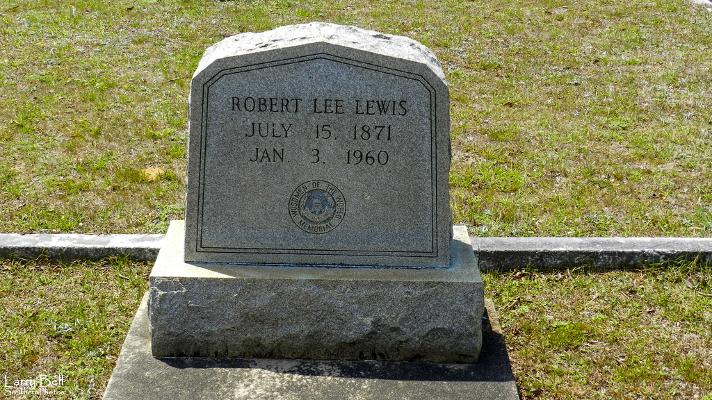
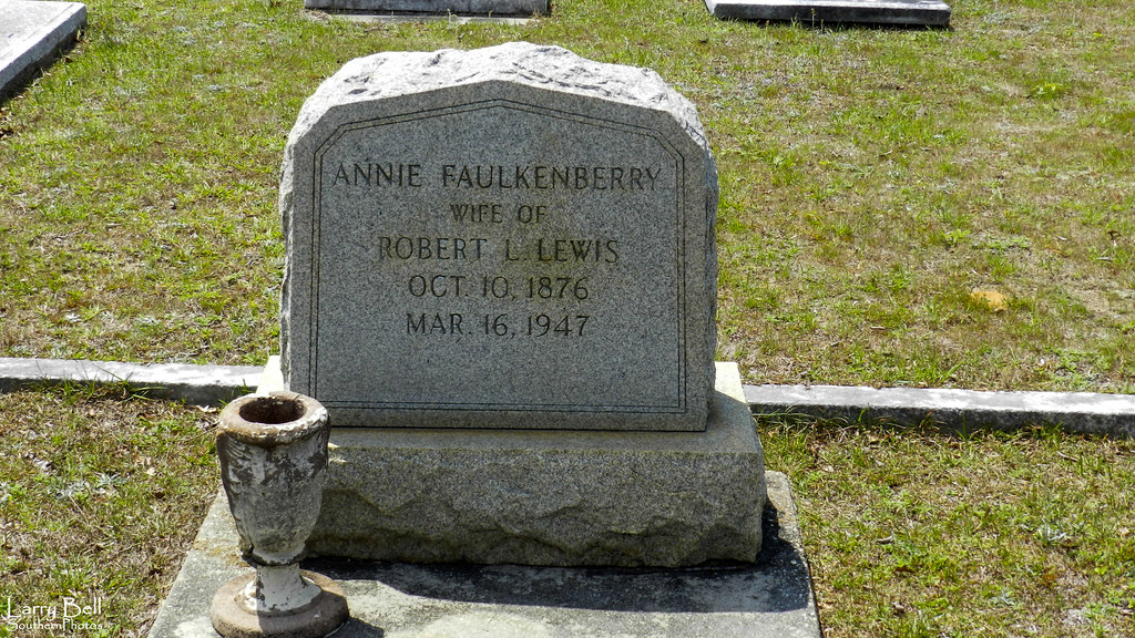
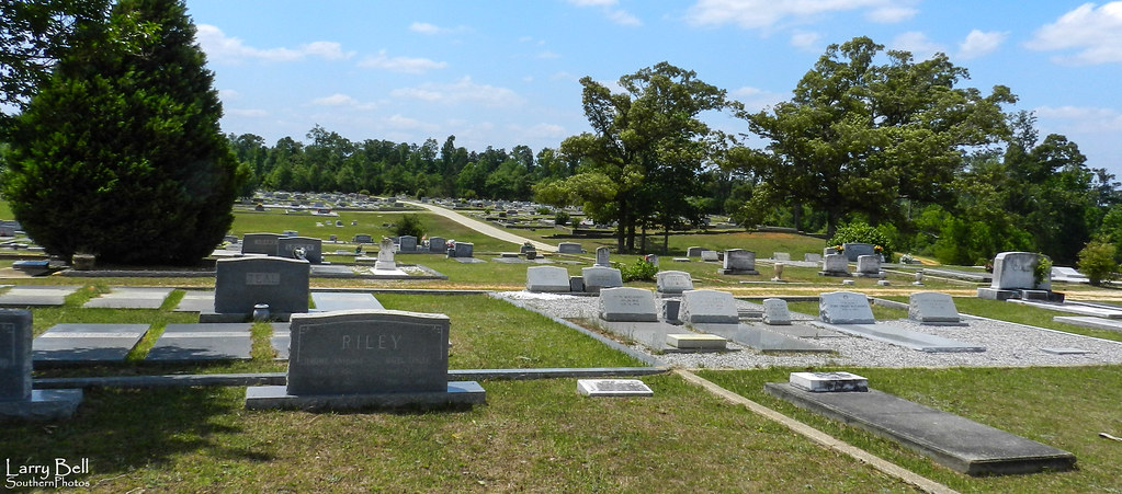
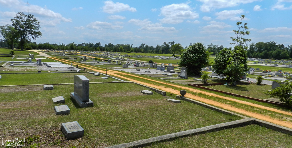
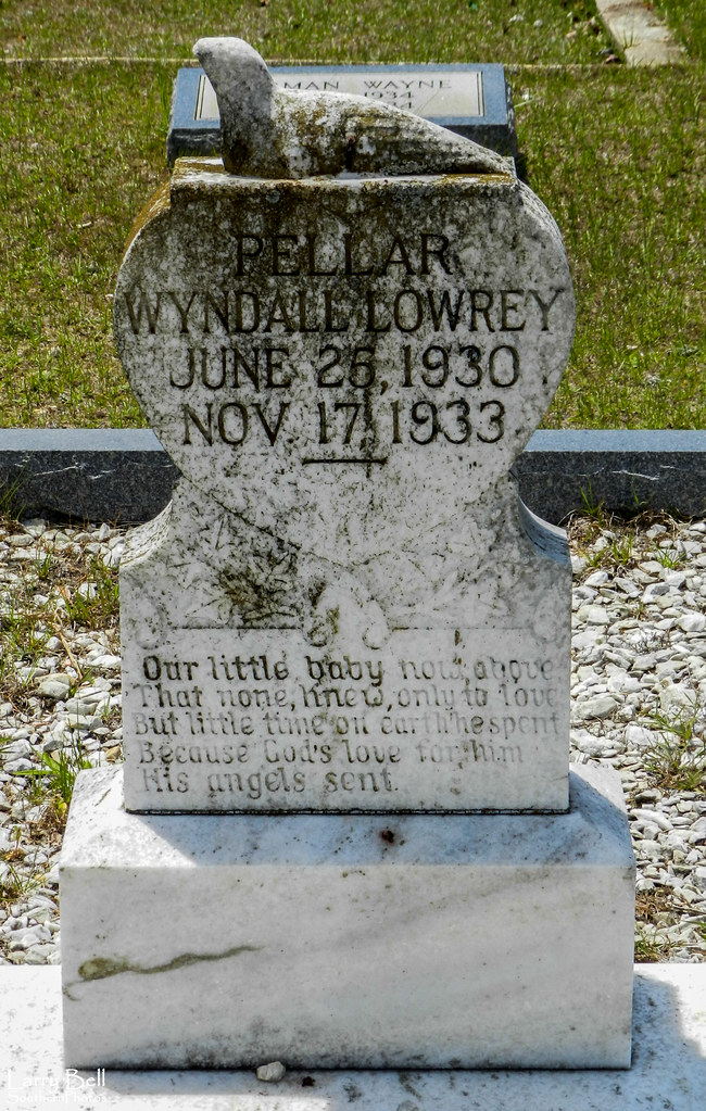
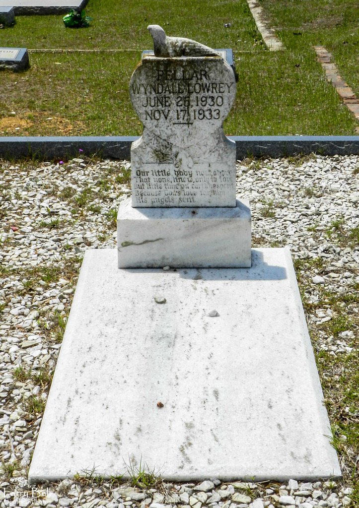
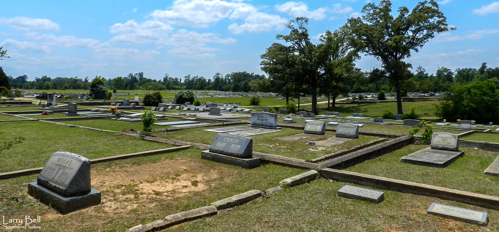
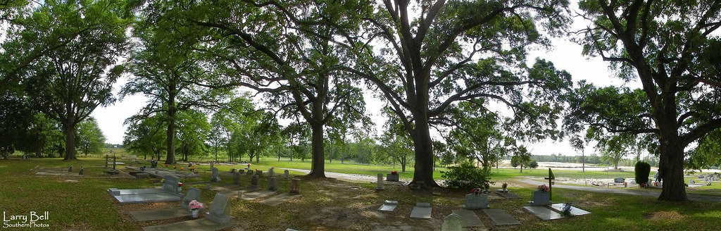
Related Photos:
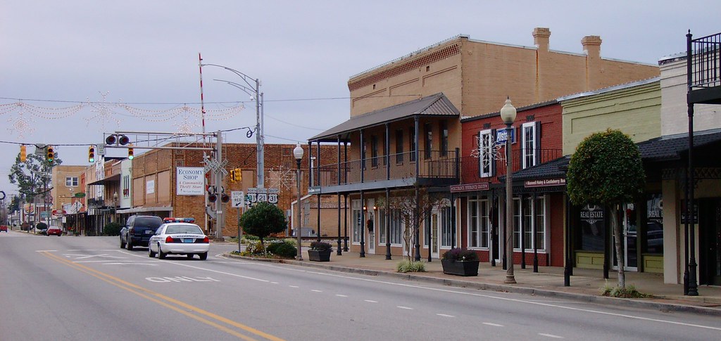
Downtown Atmore, Alabama
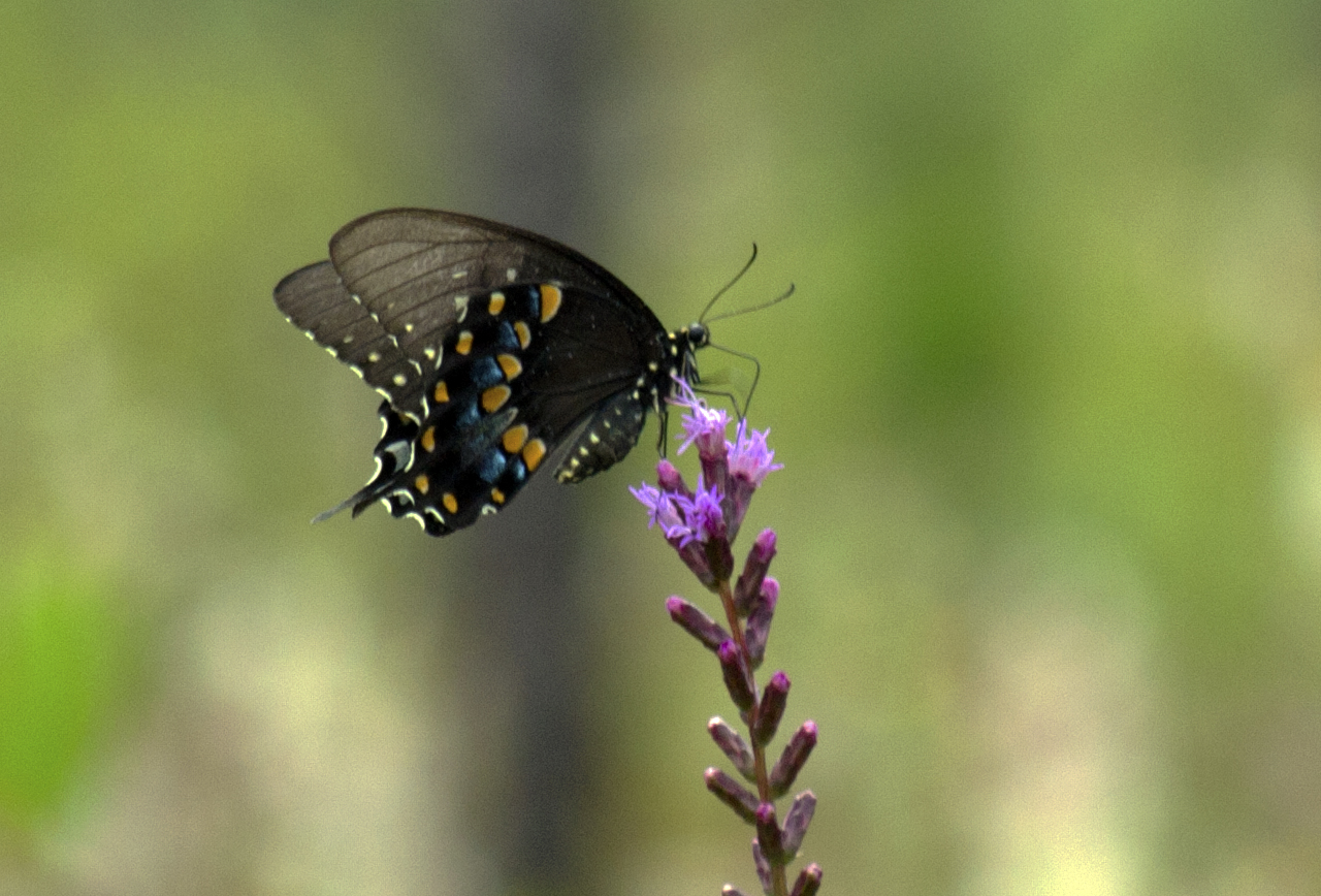
Spicebush Swallowtail

Pitcher Plant Pano

It's a beautiful day....
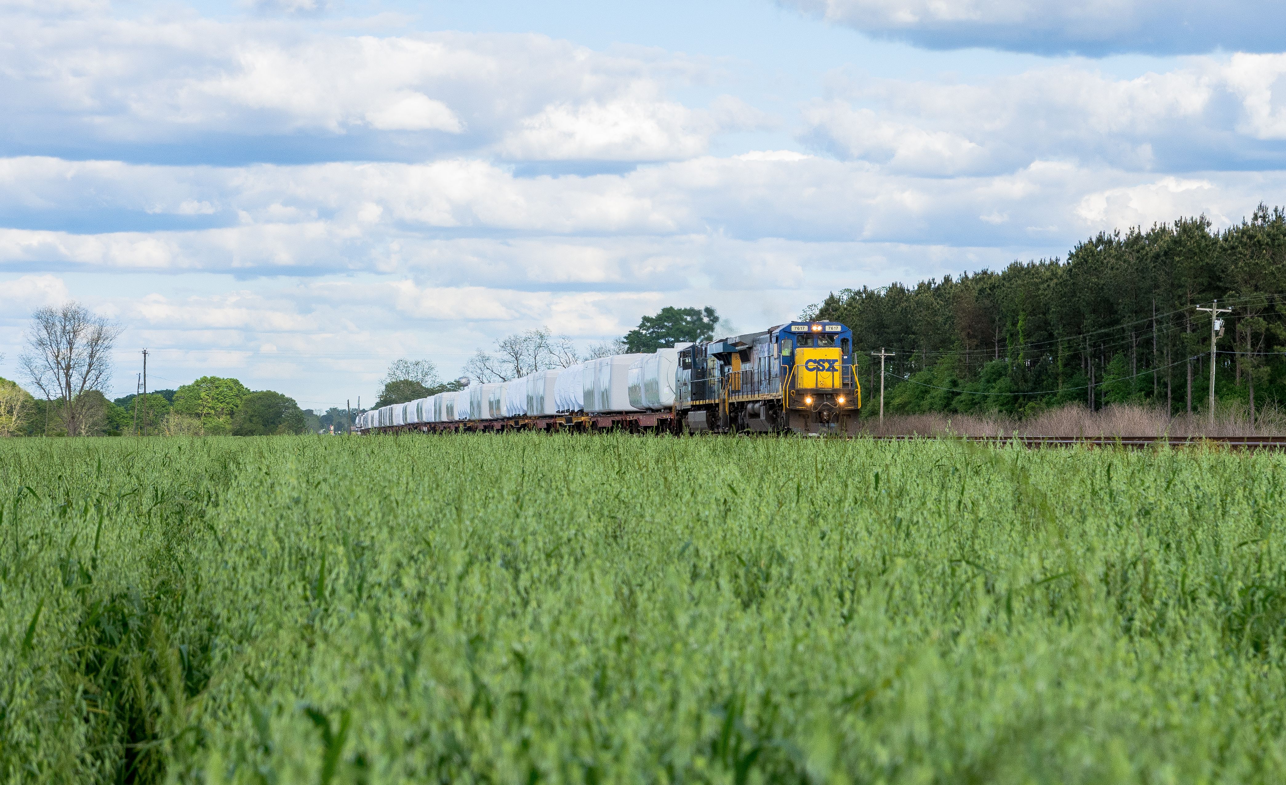
K231 Canoe, Alabama. Farewell to the C40-8
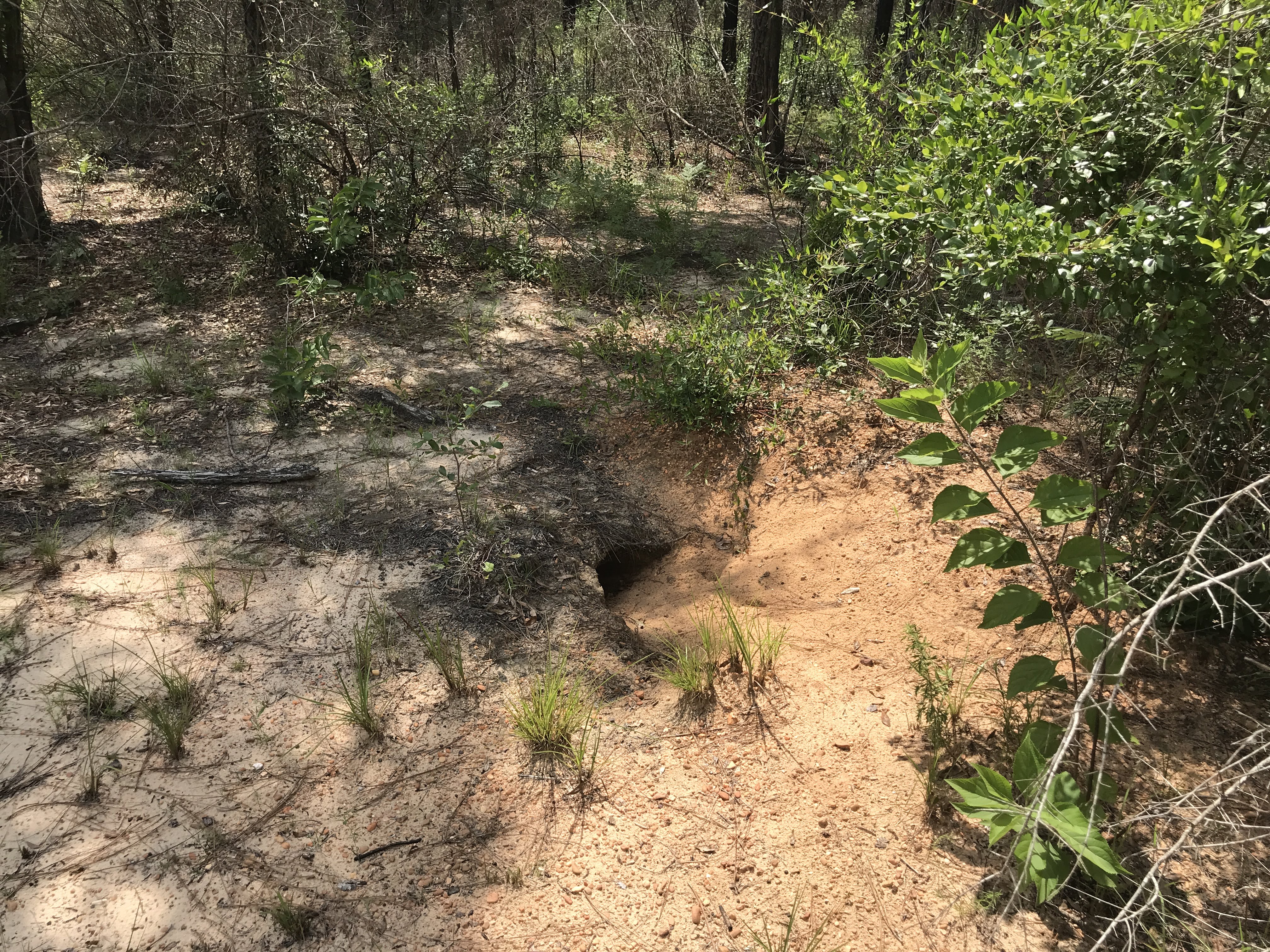
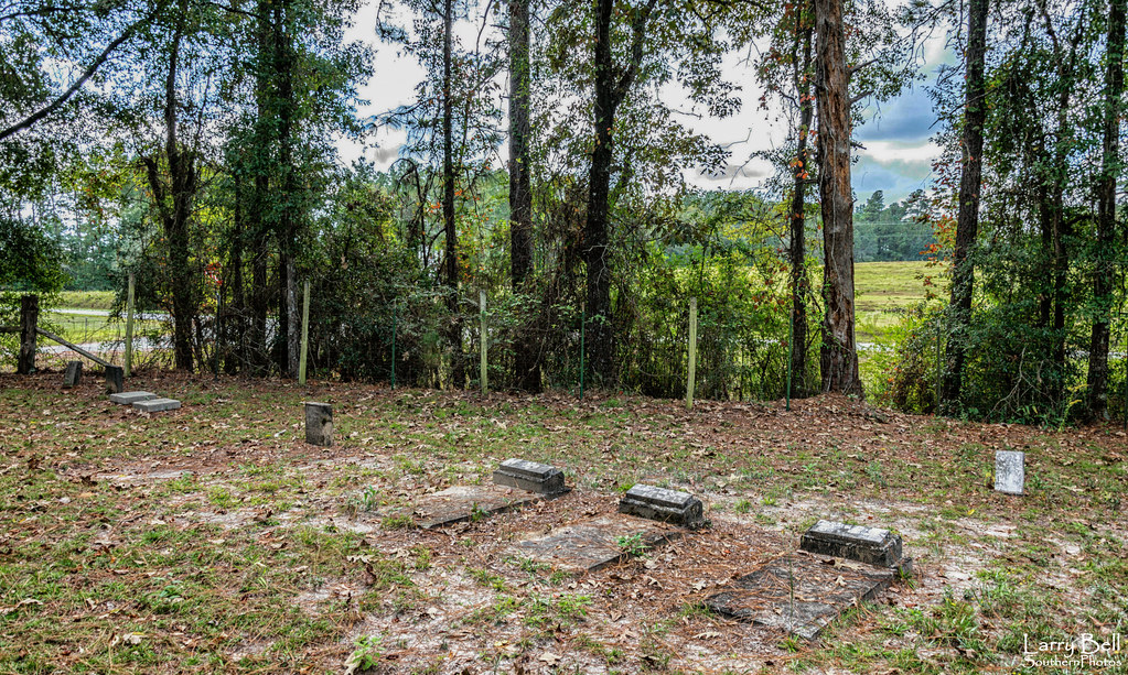
Gopher Tortoise burrow
DSC_0483-Edit
DSC_0468-Edit
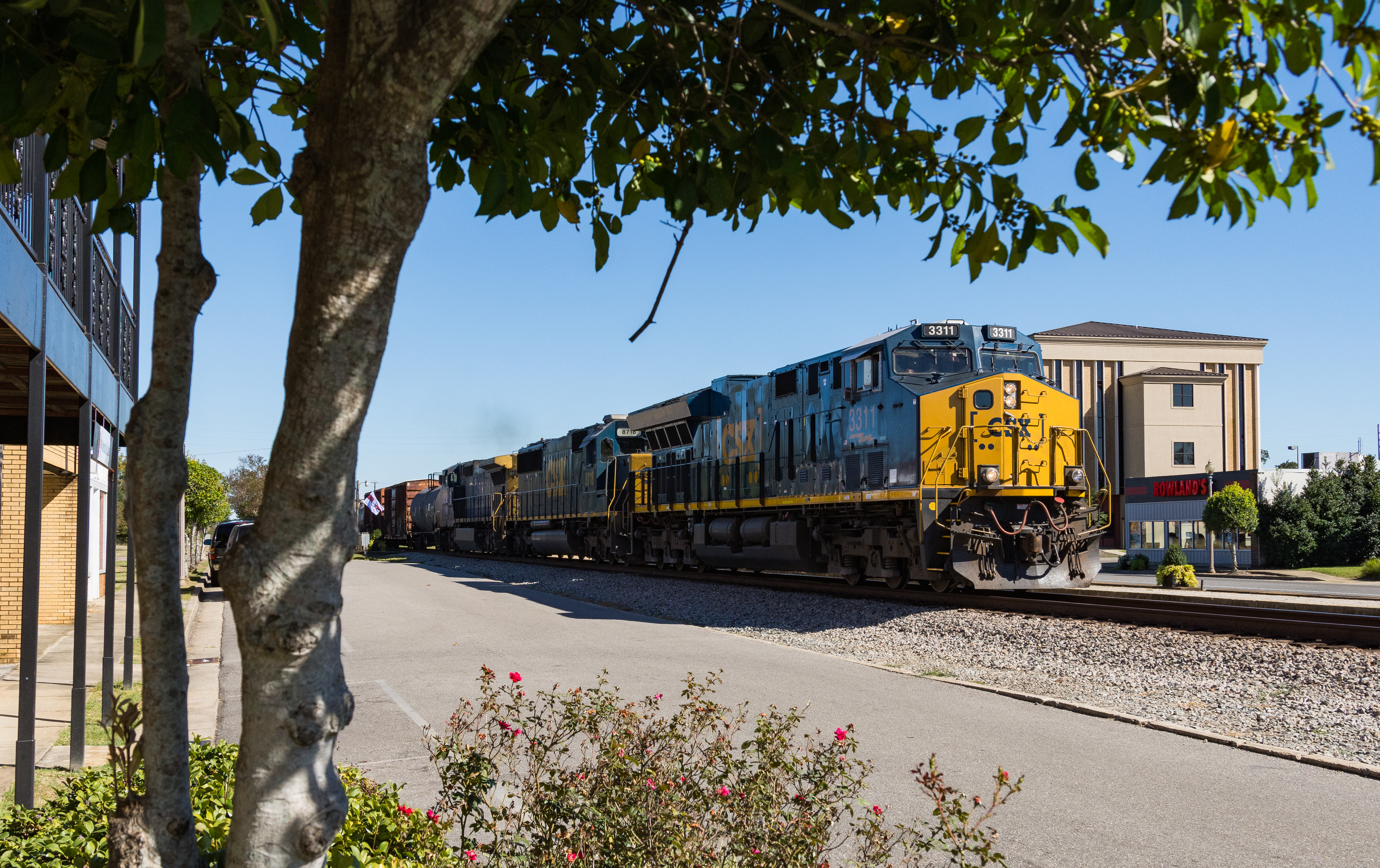
I609 Atmore Alabama

Post Office 36502 (Atmore, Alabama)

Late Day Alabama
DSCN1176.jpg
DSCN1173.jpg
DSCN1172.jpg
DSCN1171.jpg
DSCN1170.jpg

DSCN1169.jpg
DSCN1168.jpg
DSCN1167.jpg
DSCN1166.jpg
DSCN1165.jpg
DSCN1164.jpg

DSCN1163.jpg
DSCN1162.jpg
DSCN1161.jpg

DSCN1160.jpg
DSCN1157.jpg
DSCN1156.jpg
DSCN1333.jpg
Topographic Map of Cool Creek Lane, Cool Creek Ln, Alabama, USA
Find elevation by address:

Places near Cool Creek Lane, Cool Creek Ln, Alabama, USA:
Grubbs St, Atmore, AL, USA
Atmore
2897 Woods Rd
Medical Park Dr, Atmore, AL, USA
92 Middleton Ln, Atmore, AL, USA
4121 Rockaway Creek Rd
1587 Airport Rd
2211 Old Bratt Rd
Old Bratt Rd, Atmore, AL, USA
Freemanville Dr, Atmore, AL, USA
AL-21, Atmore, AL, USA
Robinsonville Rd, Atmore, AL, USA
County Rd 99, Century, FL, USA
US-31, Atmore, AL, USA
7599 N Pine Barren Rd
48 Sam Jones Rd, Atmore, AL, USA
345 Bridlepath Ln
241 Bridlepath Ln
1002 Palafox St
121 2nd St
Recent Searches:
- Elevation of Woodland Oak Pl, Thousand Oaks, CA, USA
- Elevation of Brownsdale Rd, Renfrew, PA, USA
- Elevation of Corcoran Ln, Suffolk, VA, USA
- Elevation of Mamala II, Sariaya, Quezon, Philippines
- Elevation of Sarangdanda, Nepal
- Elevation of 7 Waterfall Way, Tomball, TX, USA
- Elevation of SW 57th Ave, Portland, OR, USA
- Elevation of Crocker Dr, Vacaville, CA, USA
- Elevation of Pu Ngaol Community Meeting Hall, HWHM+3X7, Krong Saen Monourom, Cambodia
- Elevation of Royal Ontario Museum, Queens Park, Toronto, ON M5S 2C6, Canada