Elevation of Co Rd 31, Frankville, AL, USA
Location: United States > Alabama > Washington County > Frankville >
Longitude: -88.147965
Latitude: 31.6514206
Elevation: 36m / 118feet
Barometric Pressure: 101KPa
Elevation Map:
Satellite Map:
Related Photos:

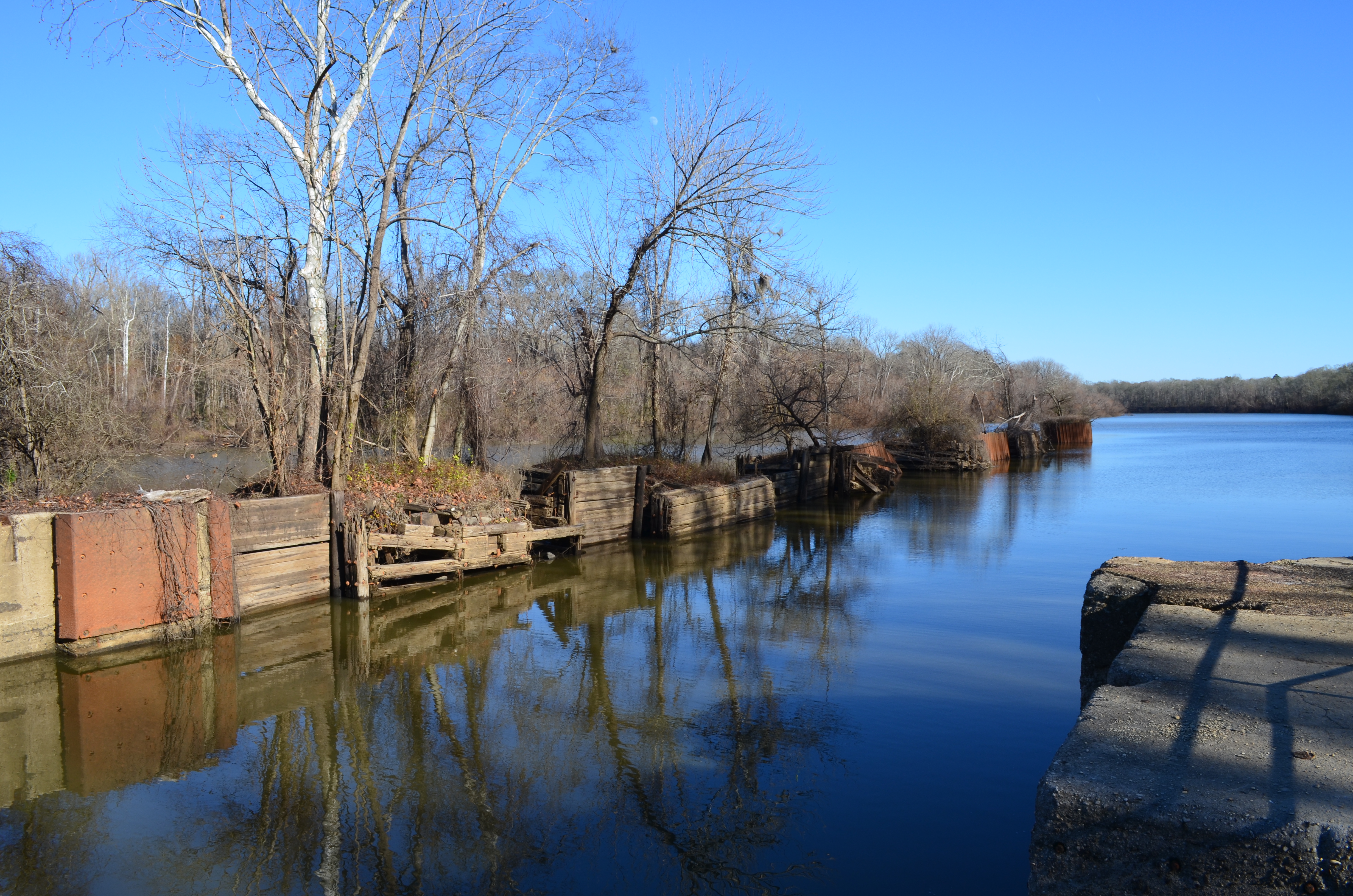
Coffeeville, AL - Jim Folsom Bridge

Coffeeville, AL - Jim Folsom Bridge

Coffeeville, AL - Jim Folsom Bridge

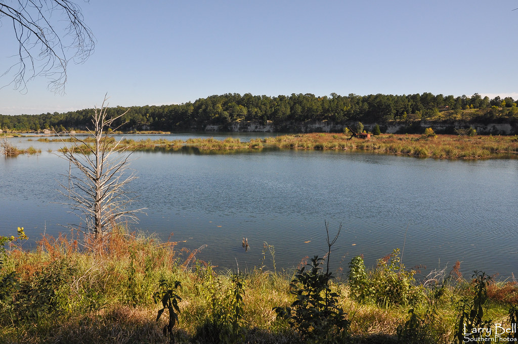
Bladon Springs, AL - Coffeeville Lake Service Park
Coffeeville AL-7.jpg

Bladon Springs, AL - Tombigbee River from Bobby's Fish Camp

St. Stephens, AL - St. Stephens Historical Park
DSC_1169-Pano
DSC_0466-Edit.jpg
DSC_0447-Edit.jpg
DSC_0428-Edit.jpg
DSC_0030.jpg
DSC_0022.jpg
DSC_0001.jpg

DSC_0999.jpg
DSC_9287.jpg

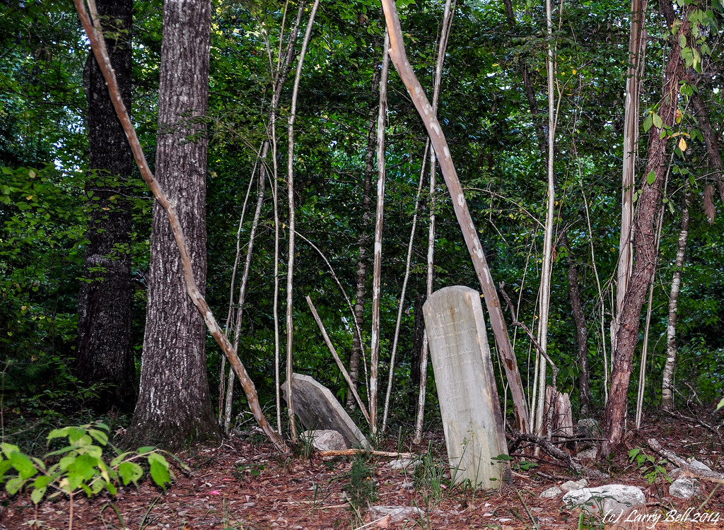
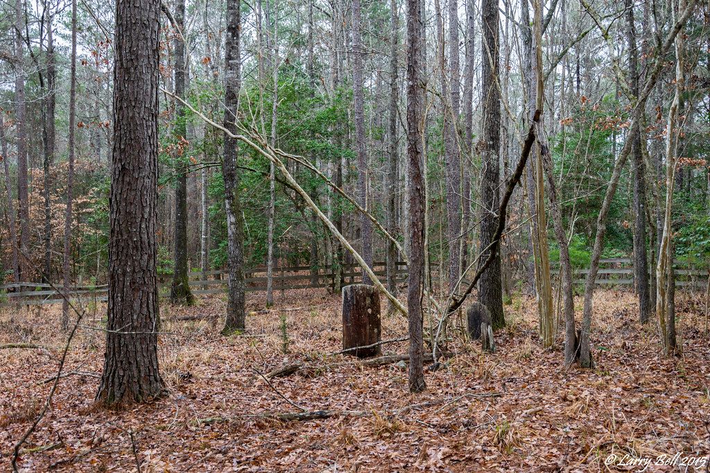
Old Lock 1 Park near Salitpa, AL (Clarke County)
Old Lock One Park-3
DSC_9125.jpg

St. Stephens, AL - St. Stephens Historical Park

St. Stephens, AL - St. Stephens Historical Park
DSC_0029.jpg

St. Stephens, AL - St. Stephens Historical Park
DSC_0027.jpg
Topographic Map of Co Rd 31, Frankville, AL, USA
Find elevation by address:

Places near Co Rd 31, Frankville, AL, USA:
Frankville
Co Rd 31, Frankville, AL, USA
Co Rd 31, Millry, AL, USA
12043 Co Rd 34
Service Park Campground
AL-69, Coffeeville, AL, USA
Coffeeville
AL-69, Jackson, AL, USA
Bodie Carpenter Rd, Millry, AL, USA
Saint Stephens
Co Rd 34, St Stephens, AL, USA
143 Lassiter Rd
Millry
Jordan St, Millry, AL, USA
Co Rd 21, Silas, AL, USA
381 Ball Park Ave
Co Rd 31, Coffeeville, AL, USA
AL-, Coffeeville, AL, USA
Barlow Rd, Millry, AL, USA
Barrytown Rd, Gilbertown, AL, USA
Recent Searches:
- Elevation of F36W+3M, Mussoorie, Uttarakhand, India
- Elevation of Fairland Ave, Fairhope, AL, USA
- Elevation of Sunset Dr, Richmond, VA, USA
- Elevation of Grodna District, Hrodna Region, Belarus
- Elevation of Hrodna, Hrodna Region, Belarus
- Elevation of Sandia Derby Estates, Tijeras, NM, USA
- Elevation of 23 Sunrise View Ct, Tijeras, NM, USA
- Elevation of Lytham Ln, Katy, TX, USA
- Elevation of Tater Hill, Oklahoma, USA
- Elevation of NY-, Friendship, NY, USA