Elevation of Co Rd 31, Coffeeville, AL, USA
Location: United States > Alabama > Clarke County > Coffeeville >
Longitude: -88.132237
Latitude: 31.8283191
Elevation: 35m / 115feet
Barometric Pressure: 101KPa
Elevation Map:
Satellite Map:
Related Photos:

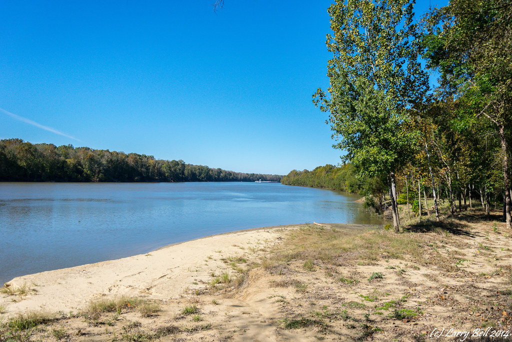
Coffeeville, AL - Jim Folsom Bridge

Coffeeville, AL - Jim Folsom Bridge

Coffeeville, AL - Jim Folsom Bridge

Bladon Springs, AL - Coffeeville Lake Service Park
Coffeeville AL-7.jpg

DSC_0014.jpg
DSC_1169-Pano
DSC_0466-Edit.jpg
DSC_0447-Edit.jpg
DSC_0428-Edit.jpg
DSC_0027.jpg
DSC_0020.jpg
DSC_0010.jpg
DSC_0040.jpg
DSC_0039.jpg
DSC_0038.jpg
DSC_0025.jpg

DSC_8354.jpg
DSC_0033.jpg
Coffeeville AL

Bladon Springs, AL - Tombigbee River from Bobby's Fish Camp
DSC_0303.jpg

DSC_0042.jpg
DSC_0296.jpg
Topographic Map of Co Rd 31, Coffeeville, AL, USA
Find elevation by address:

Places near Co Rd 31, Coffeeville, AL, USA:
Barrytown Rd, Gilbertown, AL, USA
Service Park Campground
Coffeeville
97 Co Rd 25, Gilbertown, AL, USA
Co Rd 21, Silas, AL, USA
AL-, Coffeeville, AL, USA
Co Rd 23, Toxey, AL, USA
Barrytown Rd, Gilbertown, AL, USA
AL-69, Coffeeville, AL, USA
Co Rd 23, Toxey, AL, USA
Co Rd 31, Frankville, AL, USA
AL-, Coffeeville, AL, USA
Tallahatta Springs Rd, Thomasville, AL, USA
Co Rd 31, Frankville, AL, USA
Frankville
Gilbertown
Toxey
Old Lusk Rd, Gilbertown, AL, USA
13982 Tallahatta Springs Rd
Souwilpa Rd, Silas, AL, USA
Recent Searches:
- Elevation of Dog Leg Dr, Minden, NV, USA
- Elevation of Dog Leg Dr, Minden, NV, USA
- Elevation of Kambingan Sa Pansol Atbp., Purok 7 Pansol, Candaba, Pampanga, Philippines
- Elevation of Pinewood Dr, New Bern, NC, USA
- Elevation of Mountain View, CA, USA
- Elevation of Foligno, Province of Perugia, Italy
- Elevation of Blauwestad, Netherlands
- Elevation of Bella Terra Blvd, Estero, FL, USA
- Elevation of Estates Loop, Priest River, ID, USA
- Elevation of Woodland Oak Pl, Thousand Oaks, CA, USA