Elevation of Co Rd 11, Anderson, AL, USA
Location: United States > Alabama > Anderson >
Longitude: -87.186703
Latitude: 34.9631055
Elevation: 211m / 692feet
Barometric Pressure: 99KPa
Elevation Map:
Satellite Map:
Related Photos:
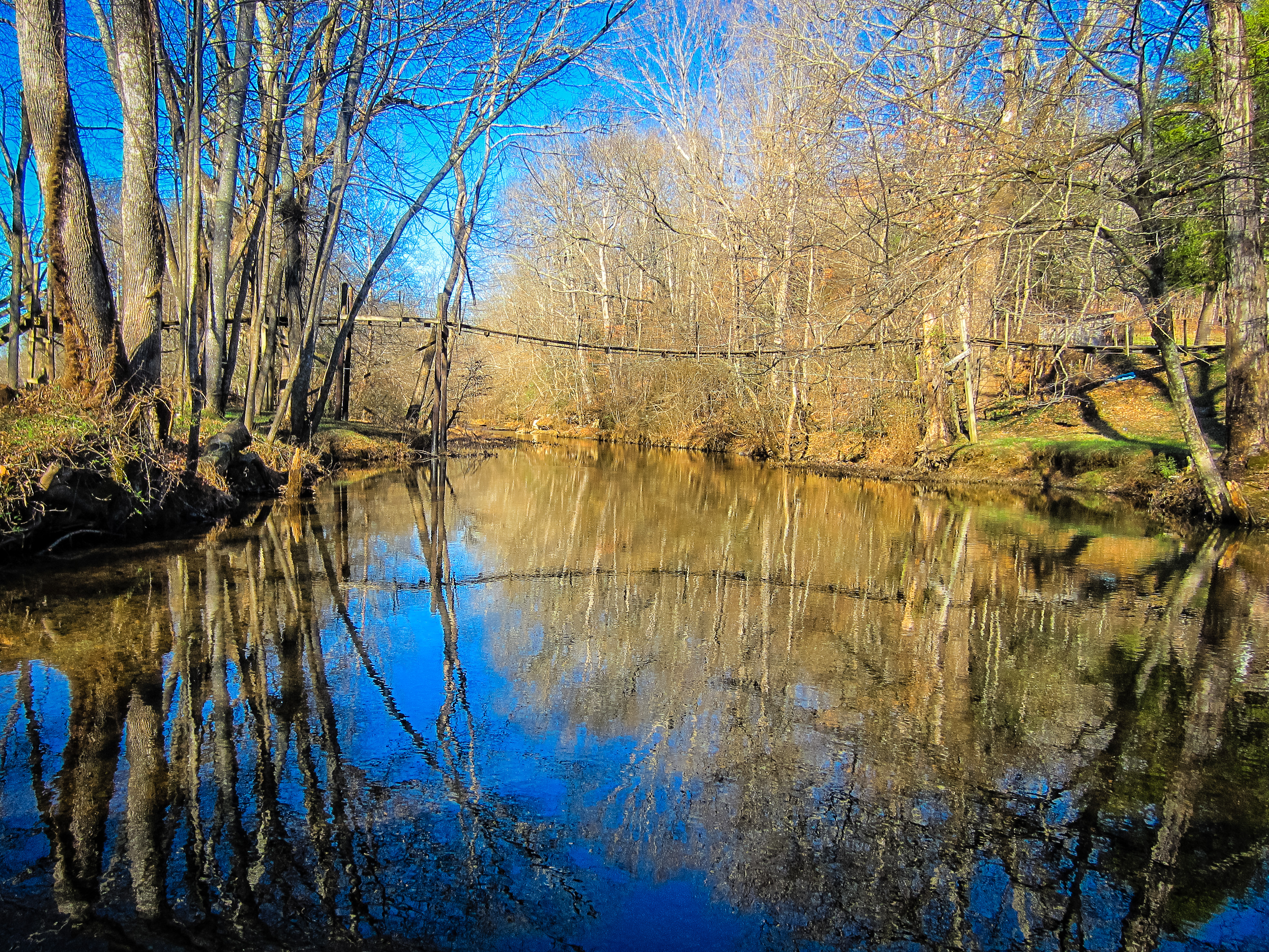
Swinging Bridge over East Fork Sugar Creek
Minor Hill, TN
Minor Hill, TN
Minor Hill, Tennessee

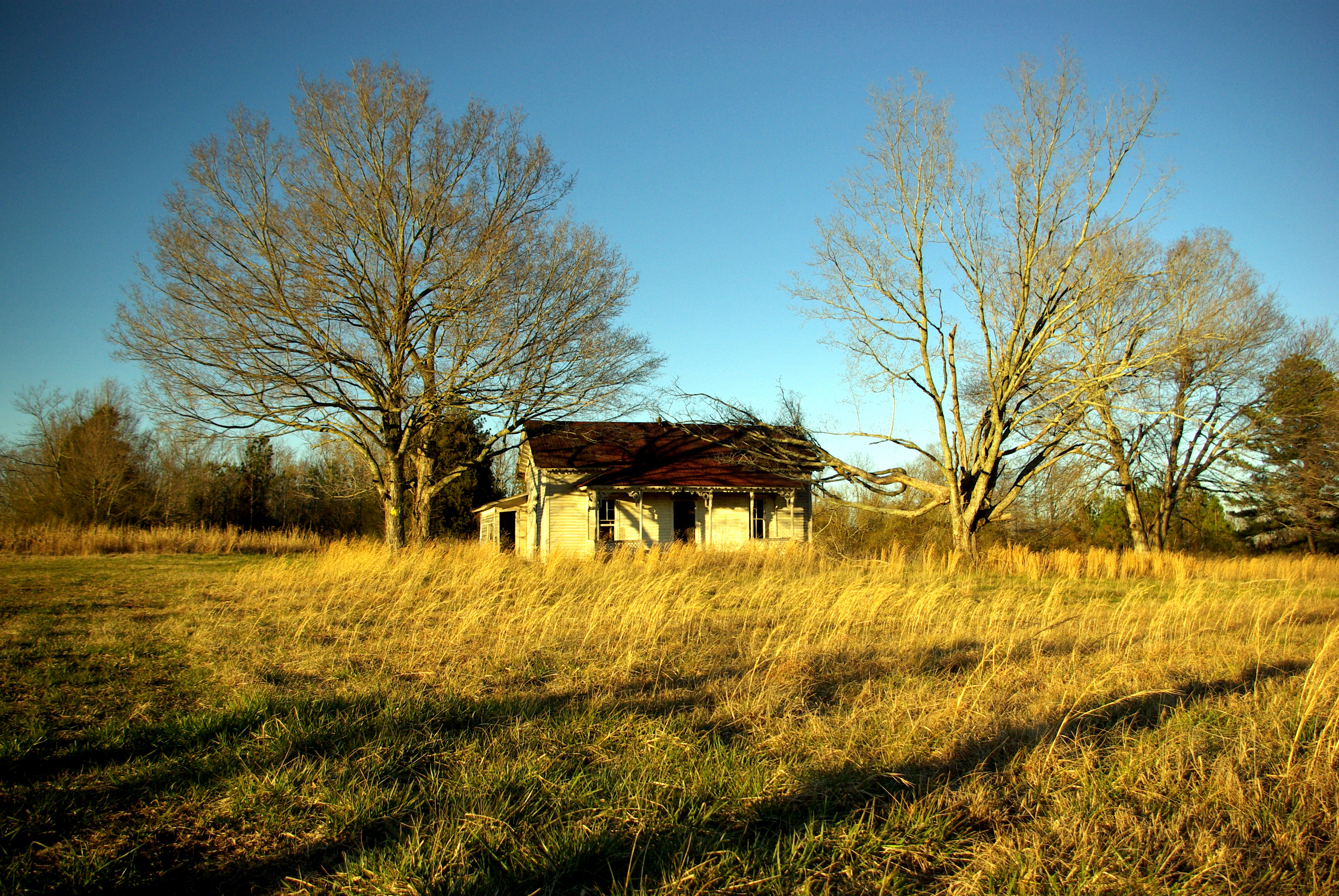
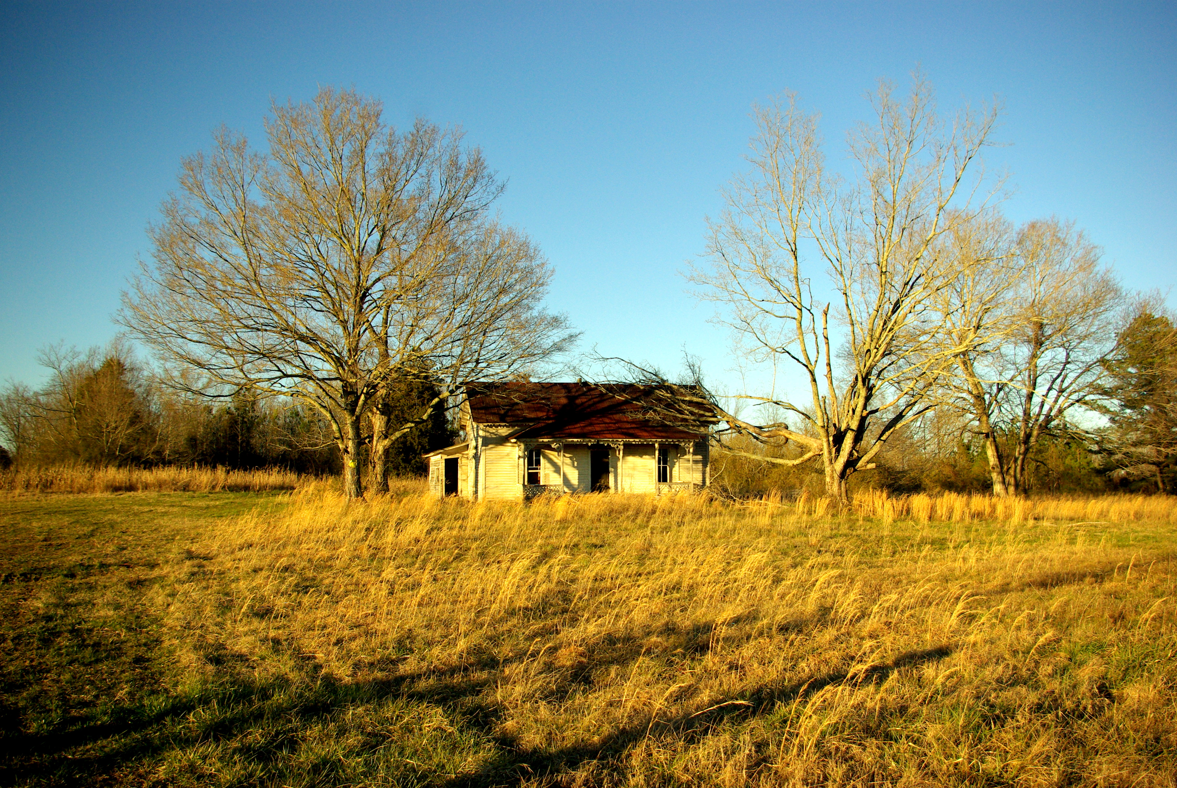
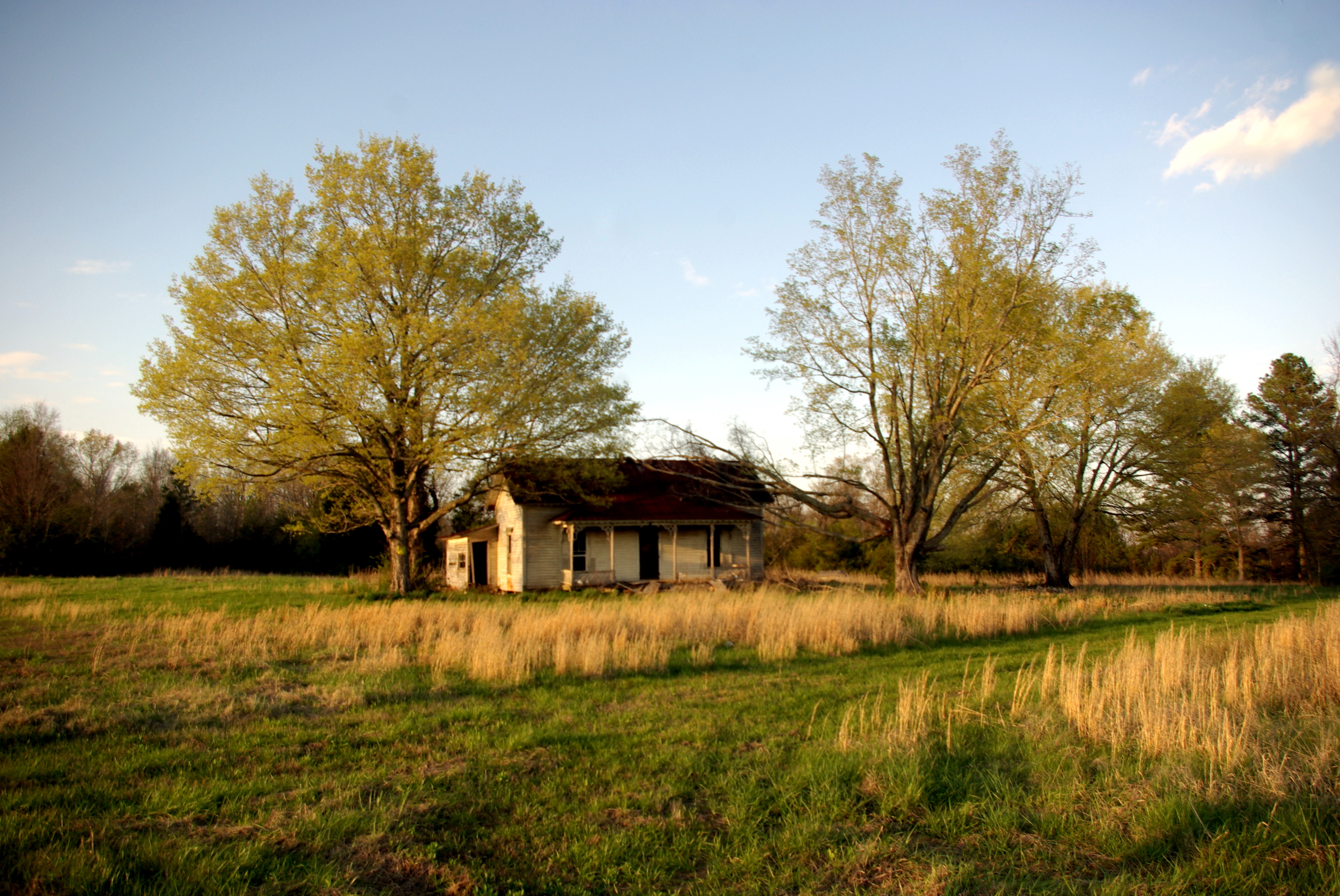
ABANDONED PLANTATION HOUSE ON CABBAGE RIDGE IN ELKMONT ALABAMA

Sunset in Alabama the Beautiful.
Lexington, Al
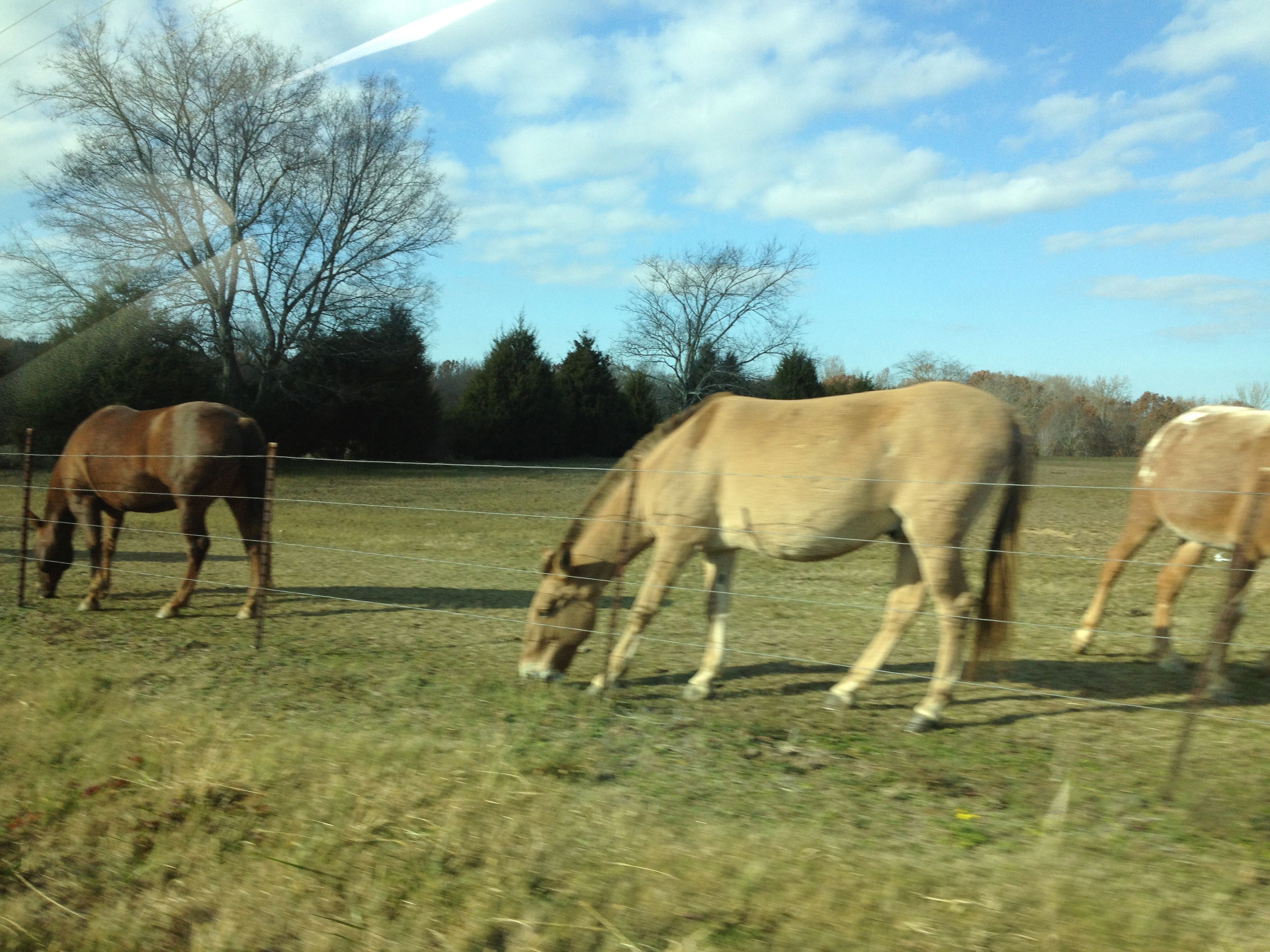
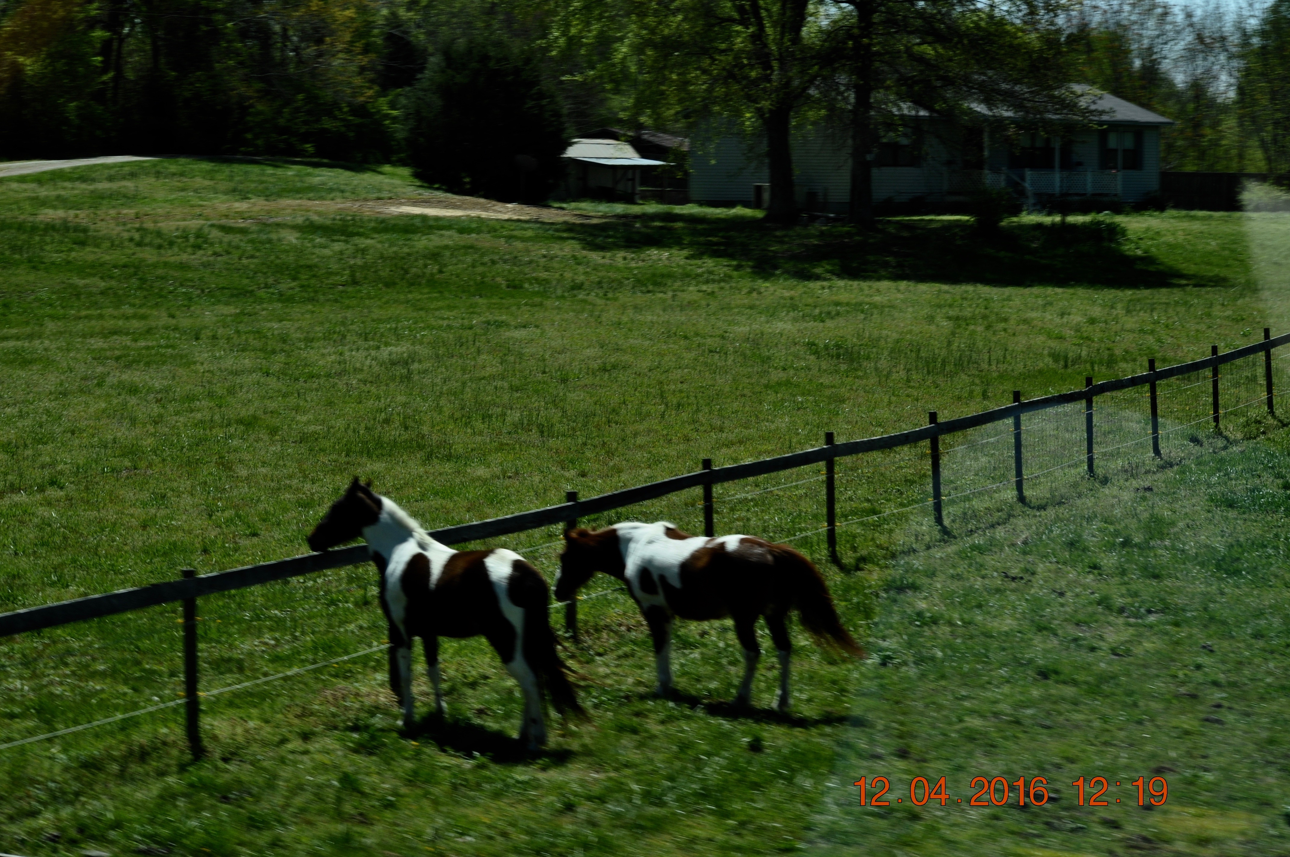
Horses grazing

Mother's Day at the river!
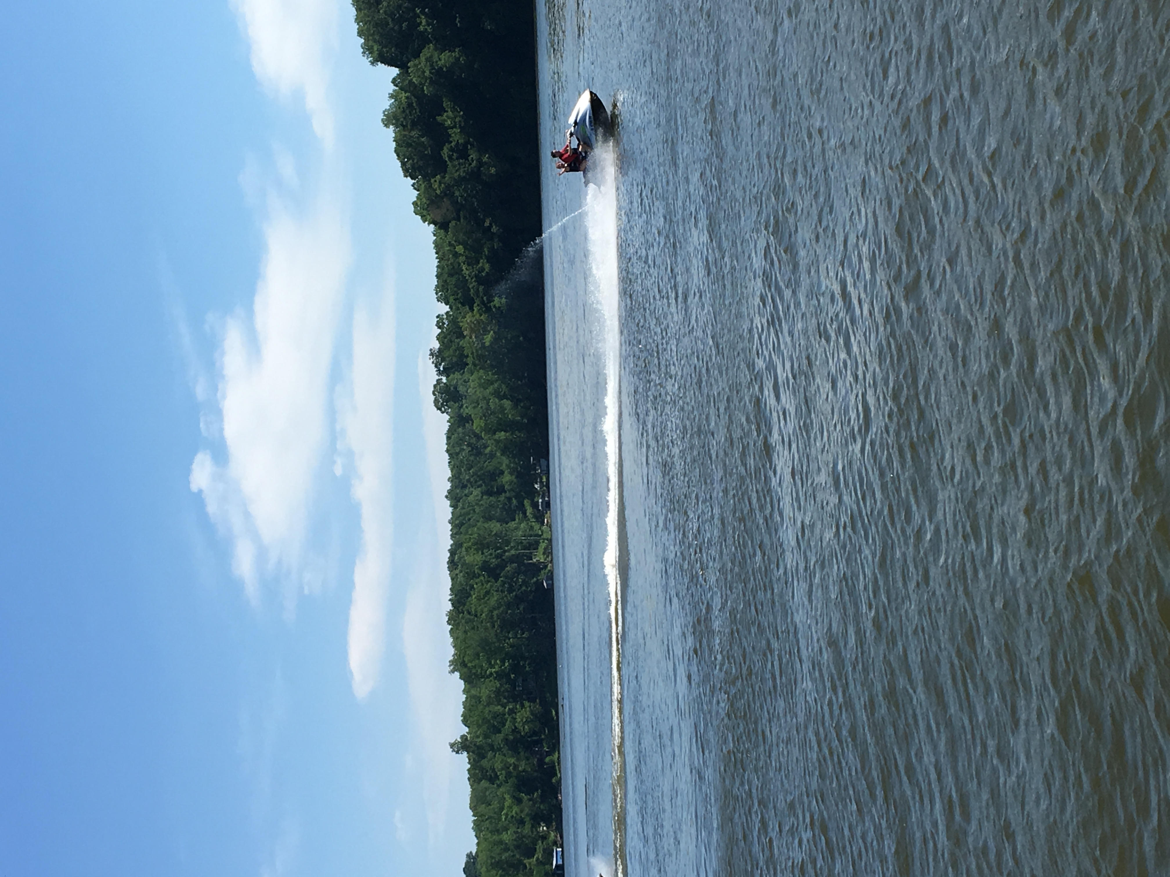
Mother's Day at the river!
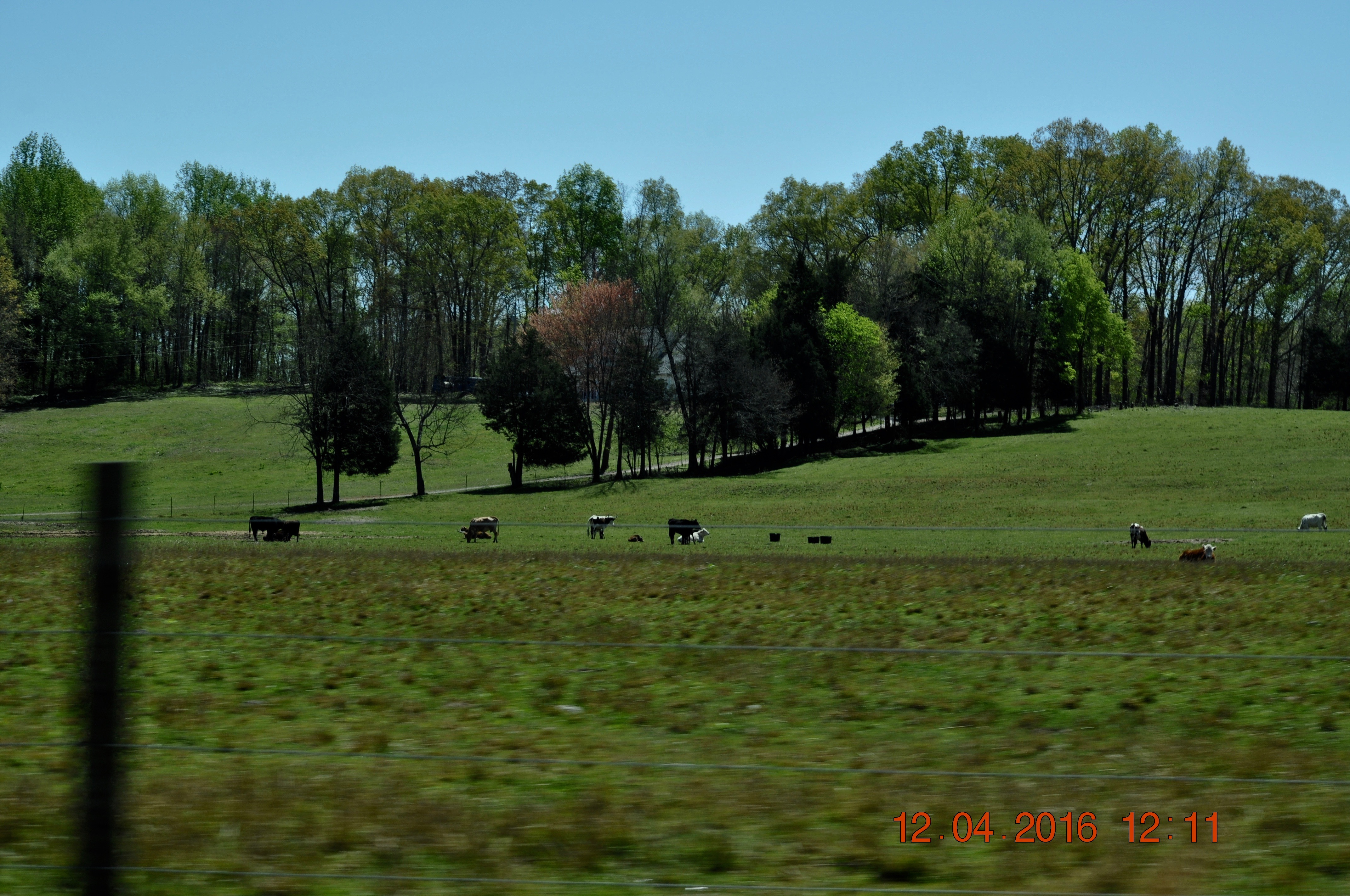
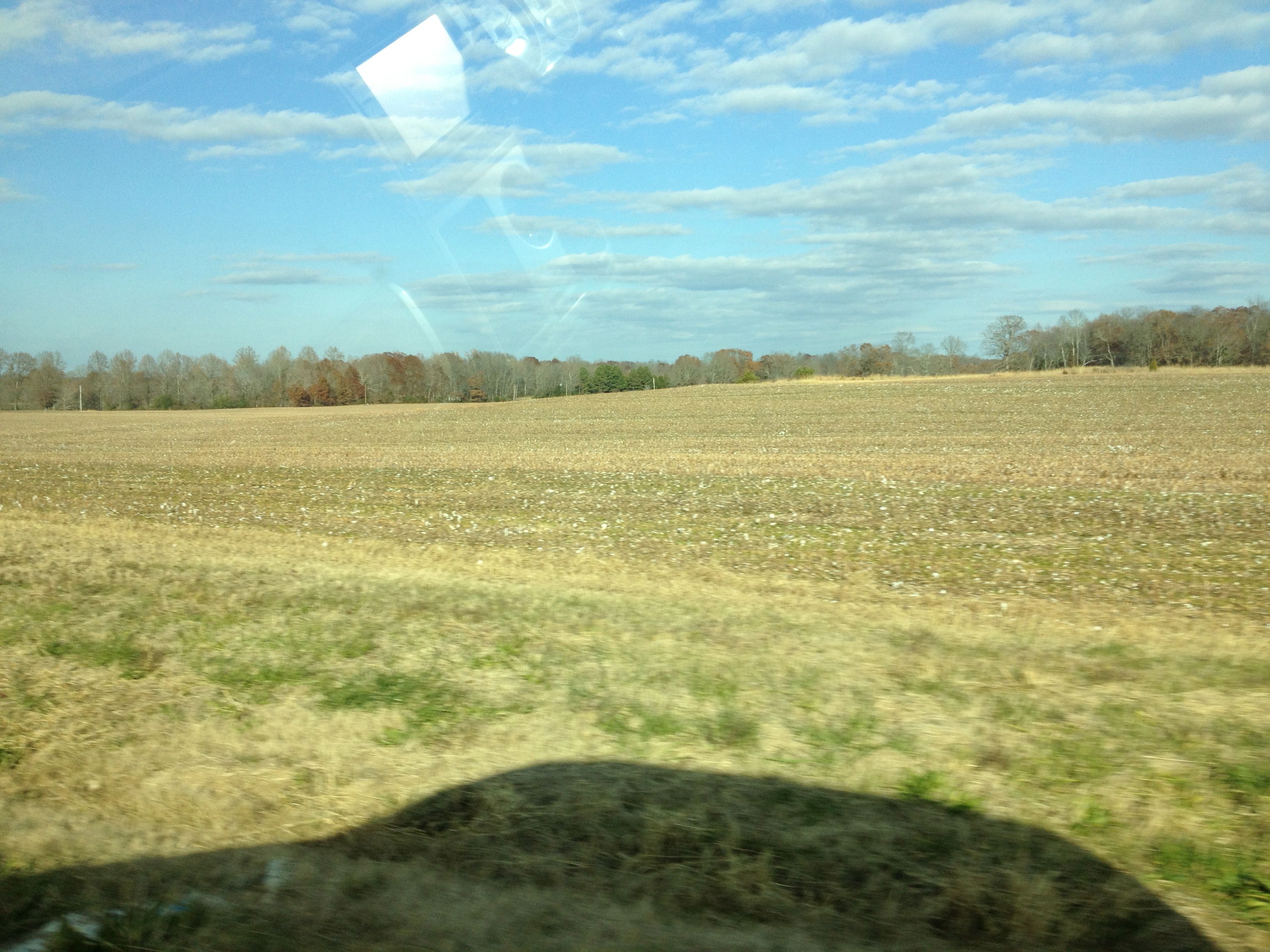
Traveling 207/99 thru Good Springs

Traveling 207/99 thru Good Springs
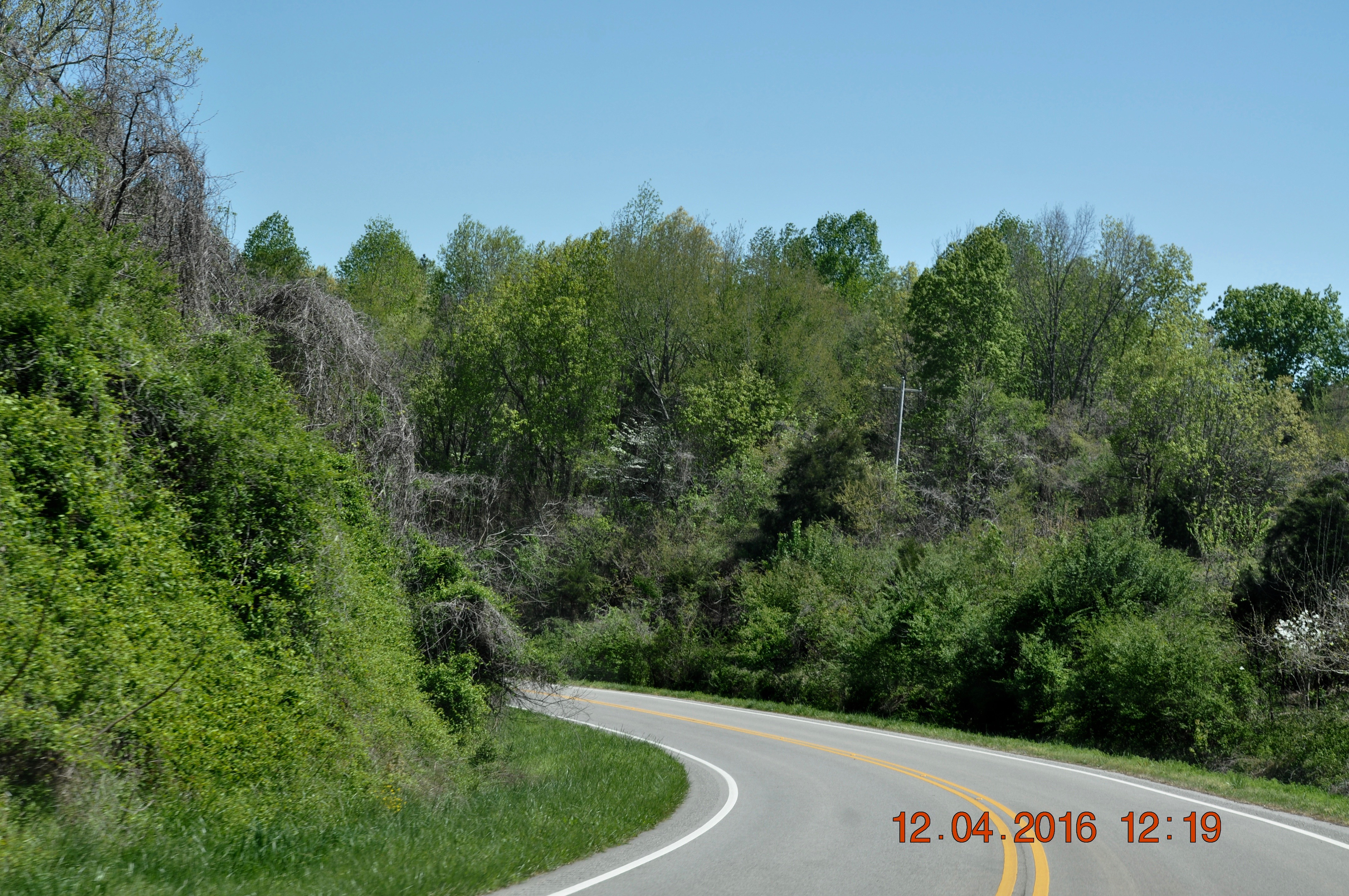
Traveling 207/99 thru Good Springs
Traveling 207/99 thru Good Springs
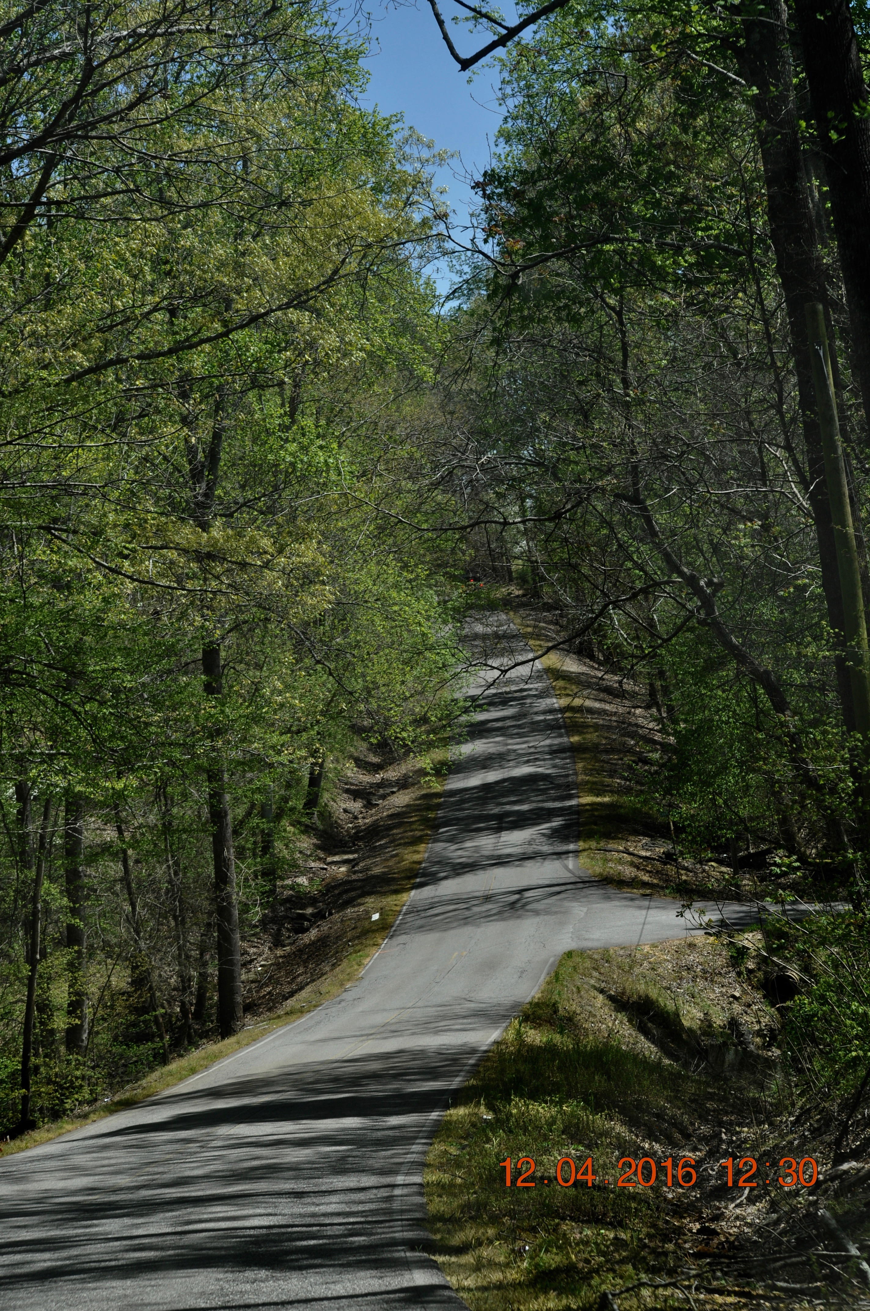
Traveling 207/99 thru Good Springs
Topographic Map of Co Rd 11, Anderson, AL, USA
Find elevation by address:

Places near Co Rd 11, Anderson, AL, USA:
37681 Co Rd 11
25885 Hunter Gates Rd
Upper Snake Rd, Athens, AL, USA
12659 Rainbow Way
Leggtown Rd, Elkmont, AL, USA
AL-99, Elkmont, AL, USA
Pope Rd, Elkmont, AL, USA
Dogwood Ln, Athens, AL, USA
Broke Rd, Athens, AL, USA
Townsend Ford Rd, Athens, AL, USA
13379 New Cut Rd
17791 Rocky Hollow Way
24469 Oak Dr
24405 Oak Dr
24580 Oak Dr
Coffman Rd, Elkmont, AL, USA
24636 Walnut Dr
17370 Sewell Rd
Elkmont
Sewell Road
Recent Searches:
- Elevation of Calais Dr, Del Mar, CA, USA
- Elevation of Placer Mine Ln, West Jordan, UT, USA
- Elevation of E 63rd St, New York, NY, USA
- Elevation of Elk City, OK, USA
- Elevation of Erika Dr, Windsor, CA, USA
- Elevation of Village Ln, Finleyville, PA, USA
- Elevation of 24 Oakland Rd #, Scotland, ON N0E 1R0, Canada
- Elevation of Deep Gap Farm Rd E, Mill Spring, NC, USA
- Elevation of Dog Leg Dr, Minden, NV, USA
- Elevation of Dog Leg Dr, Minden, NV, USA