Elevation of Co Hwy 36, Eldorado, IL, USA
Location: United States > Illinois > Saline County > Raleigh Township >
Longitude: -88.484788
Latitude: 37.8007484
Elevation: 119m / 390feet
Barometric Pressure: 100KPa
Elevation Map:
Satellite Map:
Related Photos:

005 - Snowy Night

Autumn on the lake

Harrisburg, IL
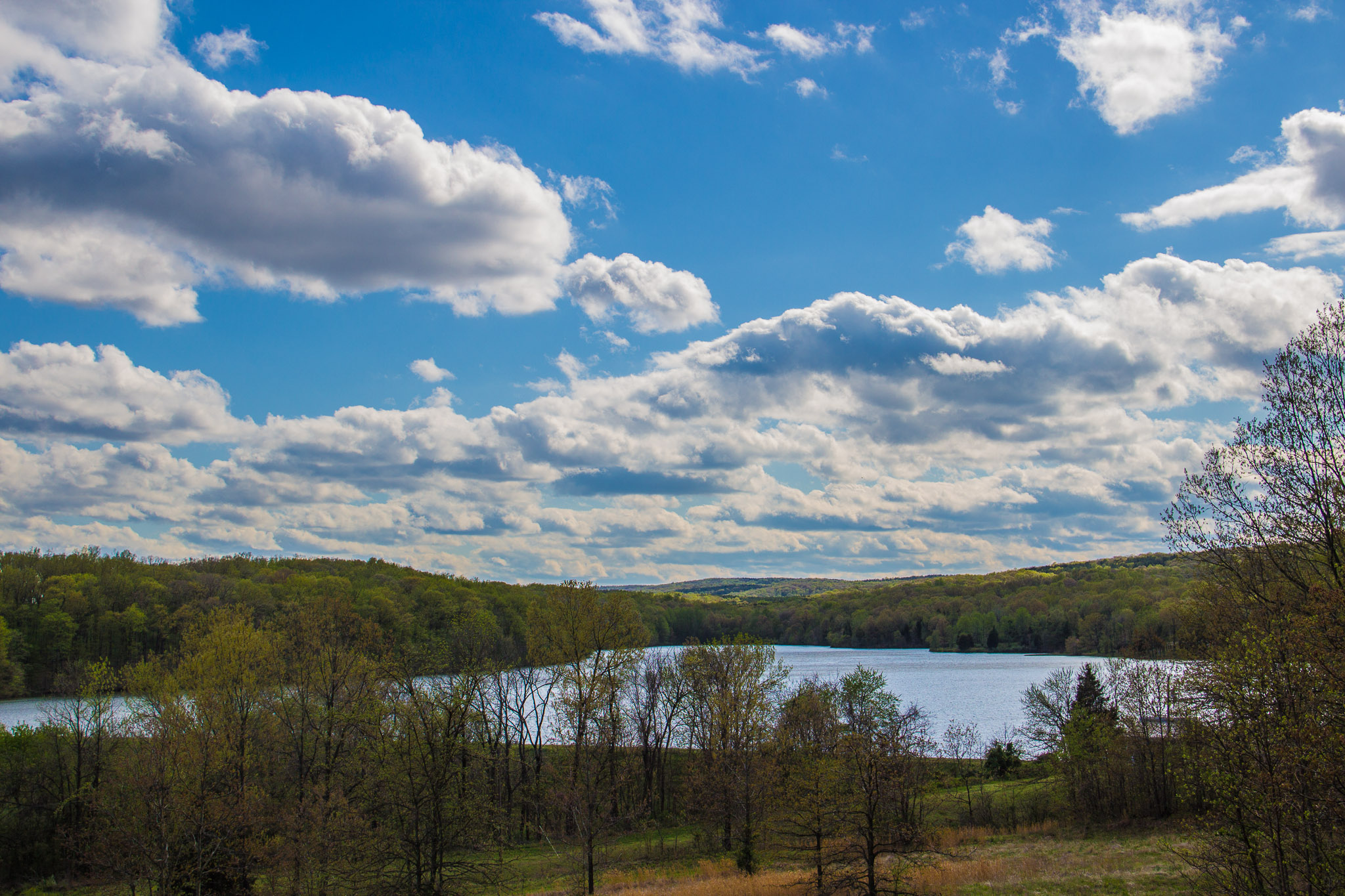
Glen O. Jones Lake

Sunrise July 14, 2015

sunset 7-29-15

Sunrise July 16, 2015

251 - Harrisburg_Lake_Panorama

310 - cloudy sunset

Monkey face

Rolling in

Abandoned.

1412 II
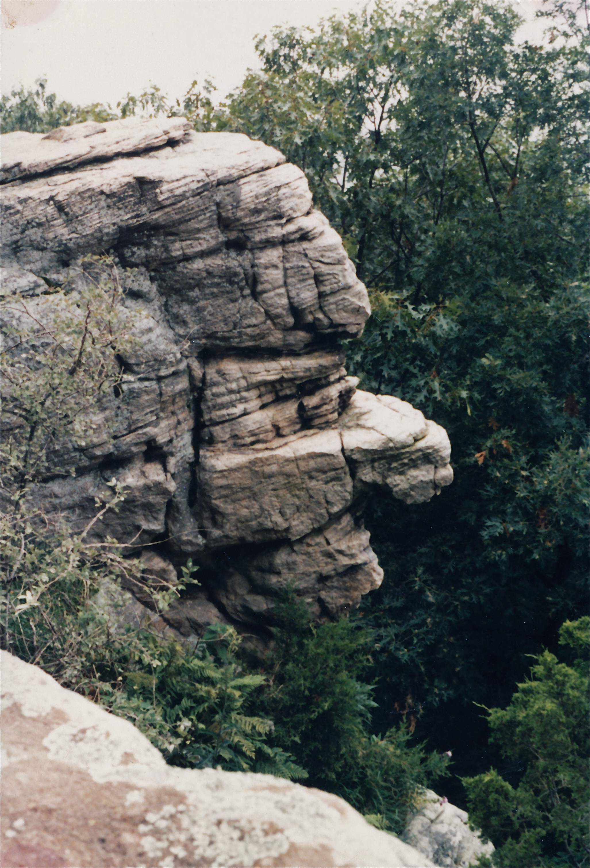
Stone Face

Golden hour...

Sunset Panorama

oil field/ corn field in black and white.

DSC_0870-001
Topographic Map of Co Hwy 36, Eldorado, IL, USA
Find elevation by address:

Places near Co Hwy 36, Eldorado, IL, USA:
Maple St, Harrisburg, IL, USA
Eldorado
4th St, Eldorado, IL, USA
1119 Latham St
Raleigh Township
East Eldorado Township
1000 Massey Rd
East State Street
Saline County Recorders Office
Il-34 & W Locust St
Il-34 & W Locust St
Il-34 & W Locust St
Harrisburg Township
Harrisburg
Cannon St, Harrisburg, IL, USA
W Longley St, Harrisburg, IL, USA
Saline County
N, Galatia, IL, USA
Broughton
Equality
Recent Searches:
- Elevation of Congressional Dr, Stevensville, MD, USA
- Elevation of Bellview Rd, McLean, VA, USA
- Elevation of Stage Island Rd, Chatham, MA, USA
- Elevation of Shibuya Scramble Crossing, 21 Udagawacho, Shibuya City, Tokyo -, Japan
- Elevation of Jadagoniai, Kaunas District Municipality, Lithuania
- Elevation of Pagonija rock, Kranto 7-oji g. 8"N, Kaunas, Lithuania
- Elevation of Co Rd 87, Jamestown, CO, USA
- Elevation of Tenjo, Cundinamarca, Colombia
- Elevation of Côte-des-Neiges, Montreal, QC H4A 3J6, Canada
- Elevation of Bobcat Dr, Helena, MT, USA