Elevation of Broughton, IL, USA
Location: United States > Illinois > Hamilton County >
Longitude: -88.461993
Latitude: 37.9347695
Elevation: 114m / 374feet
Barometric Pressure: 100KPa
Elevation Map:
Satellite Map:
Related Photos:

Shooting Up in the Garden

A view from the driveway...

Generic Sunset Panorama

Southern Illinois Graffiti

Southern Illinois Small Town Graffiti

Southern Illinois Gas Prices
Illinois Road Trip 079

Sunset Panorama 5/10/18

Cloud Panorama

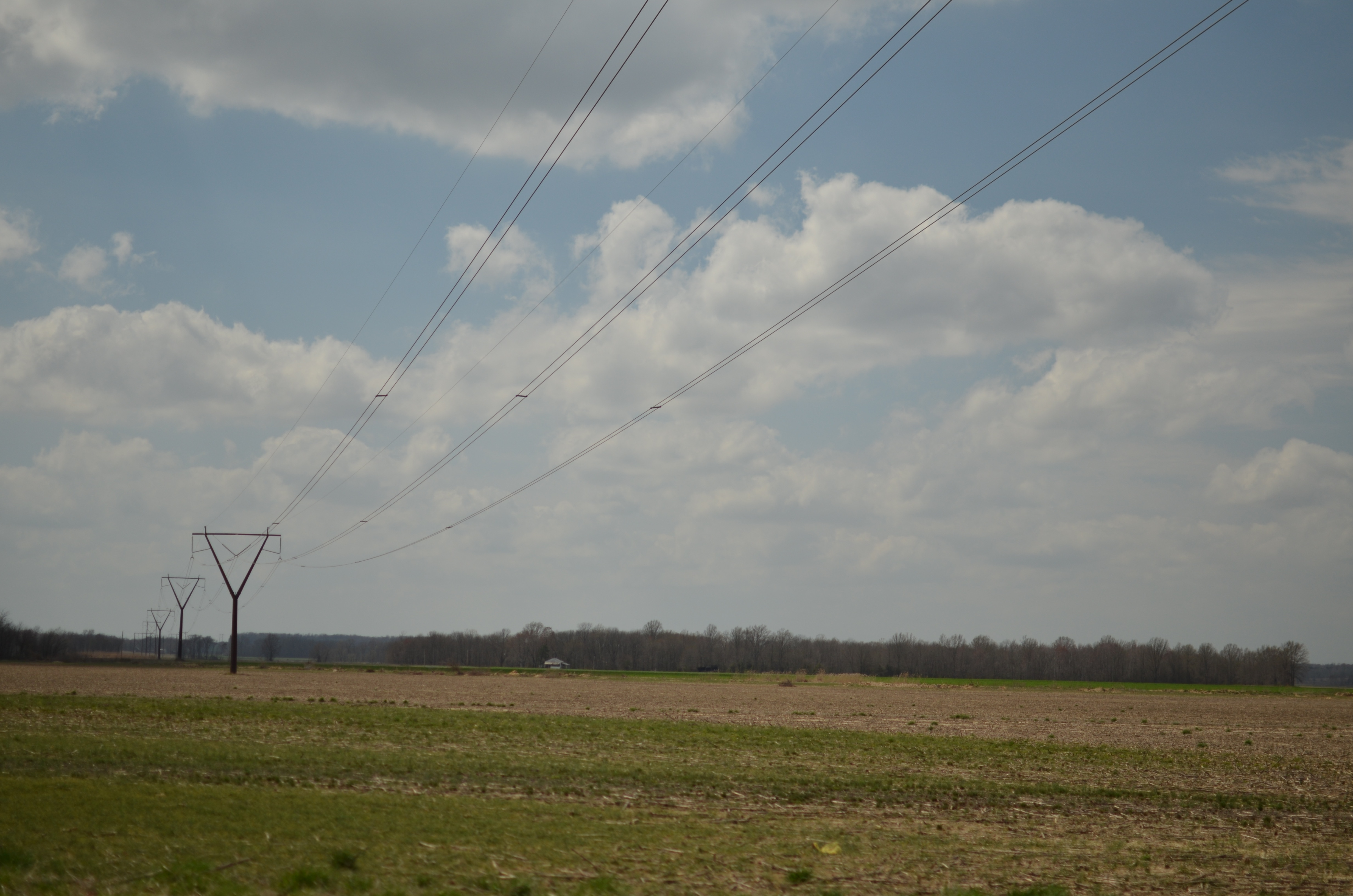
Low Clouds Over a Country Road.

Sunset Panorama

Clouds from Irma

Untitled in Abstract

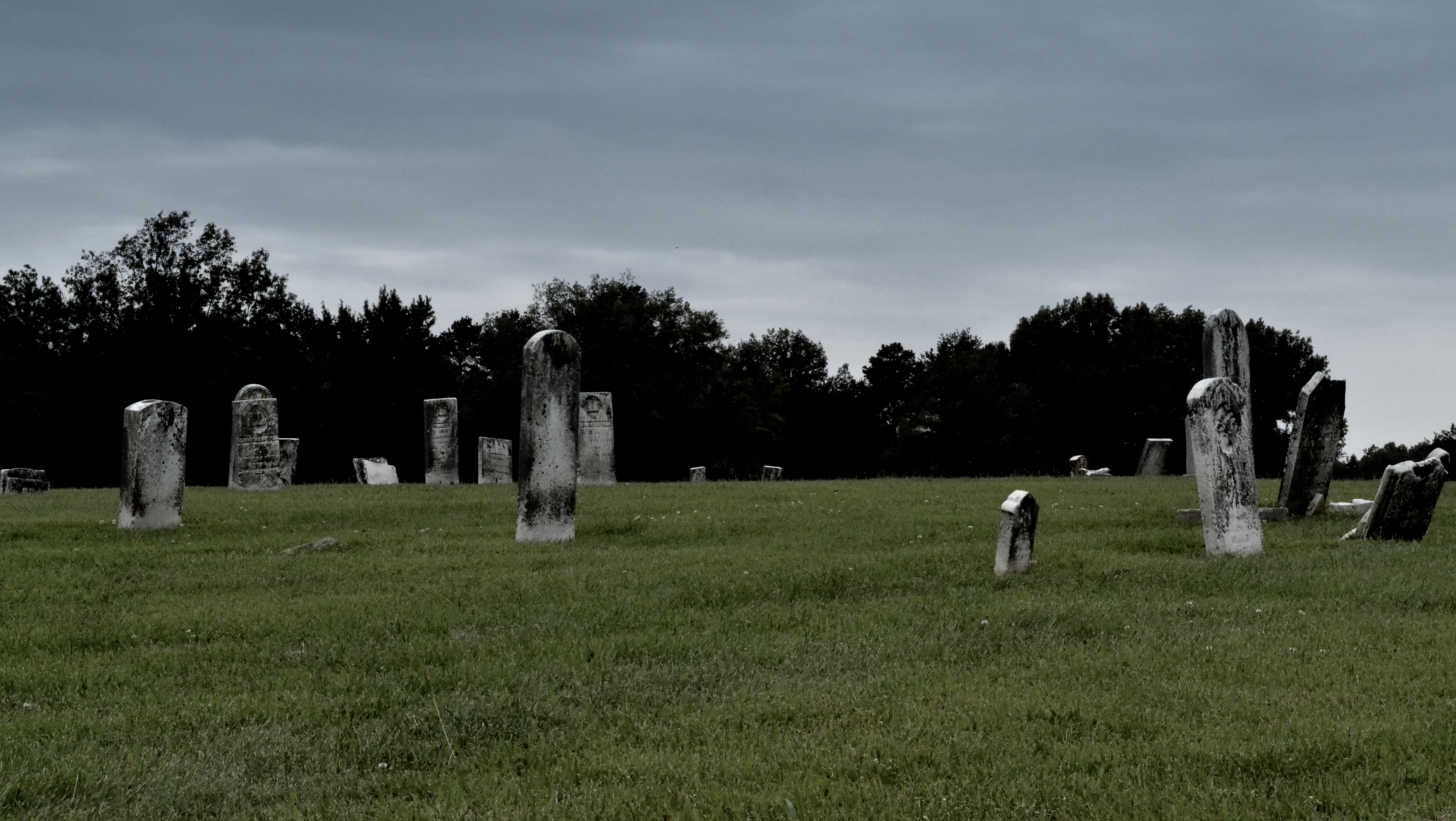
Wicked Tree

1412 II
DSC_0870-001
Topographic Map of Broughton, IL, USA
Find elevation by address:

Places near Broughton, IL, USA:
1000 Massey Rd
Gossett
1119 Latham St
East Eldorado Township
Eldorado
4th St, Eldorado, IL, USA
N, Galatia, IL, USA
1495 Co Hwy 36
Raleigh Township
Maple St, Harrisburg, IL, USA
Cannon St, Harrisburg, IL, USA
Il-34 & W Locust St
Il-34 & W Locust St
Il-34 & W Locust St
Saline County Recorders Office
Harrisburg
Harrisburg Township
East State Street
W Longley St, Harrisburg, IL, USA
Equality
Recent Searches:
- Elevation of Congressional Dr, Stevensville, MD, USA
- Elevation of Bellview Rd, McLean, VA, USA
- Elevation of Stage Island Rd, Chatham, MA, USA
- Elevation of Shibuya Scramble Crossing, 21 Udagawacho, Shibuya City, Tokyo -, Japan
- Elevation of Jadagoniai, Kaunas District Municipality, Lithuania
- Elevation of Pagonija rock, Kranto 7-oji g. 8"N, Kaunas, Lithuania
- Elevation of Co Rd 87, Jamestown, CO, USA
- Elevation of Tenjo, Cundinamarca, Colombia
- Elevation of Côte-des-Neiges, Montreal, QC H4A 3J6, Canada
- Elevation of Bobcat Dr, Helena, MT, USA