Elevation of Co Hwy 12/01, Pecks Mill, WV, USA
Location: United States > West Virginia > Logan County > Central >
Longitude: -81.981287
Latitude: 37.882119
Elevation: 210m / 689feet
Barometric Pressure: 99KPa
Elevation Map:
Satellite Map:
Related Photos:

New WV 10's Northern End

Sundown Whitman, WV 1

20081020-153724.jpg
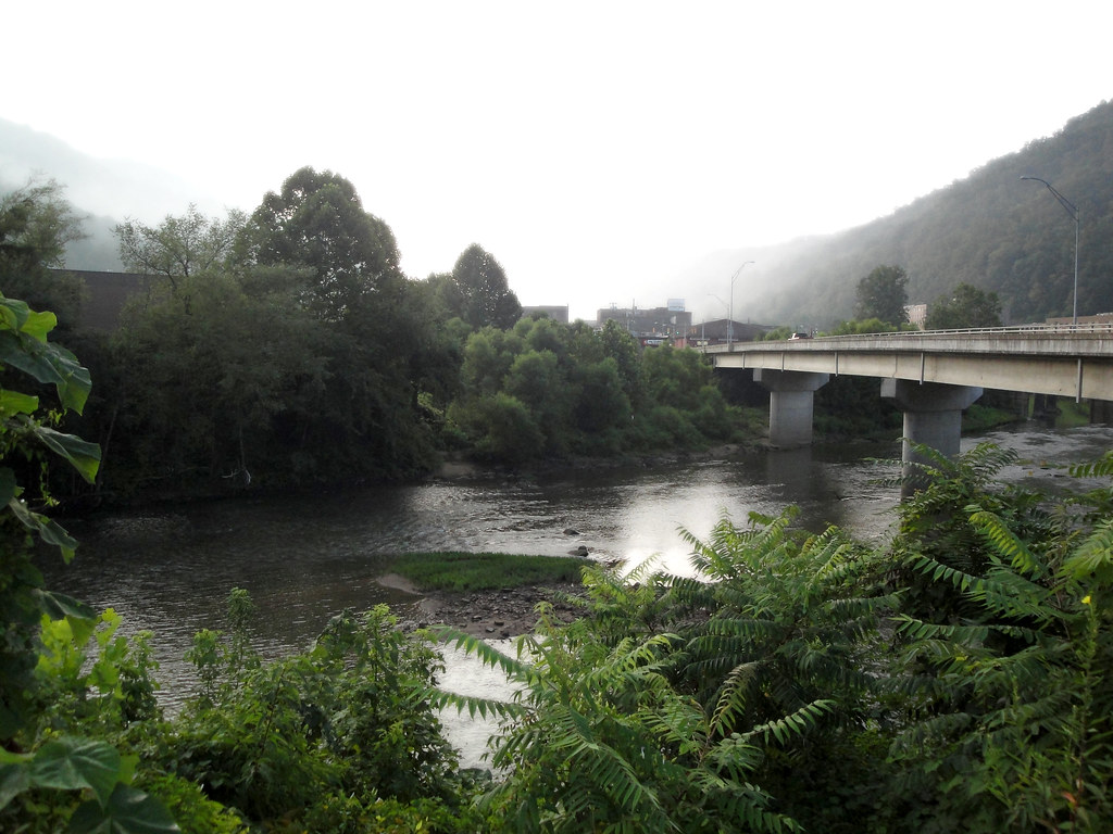
River in West Virginia

New WV 10 at Midway Plaza
WV 17 at Blair Mountain Summit

Firetower Road
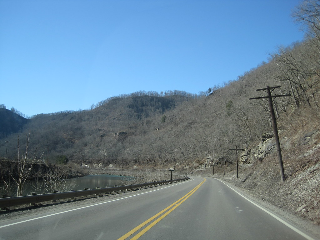
WV 10 along Guyandotte River
New WV 10

Circle of Light
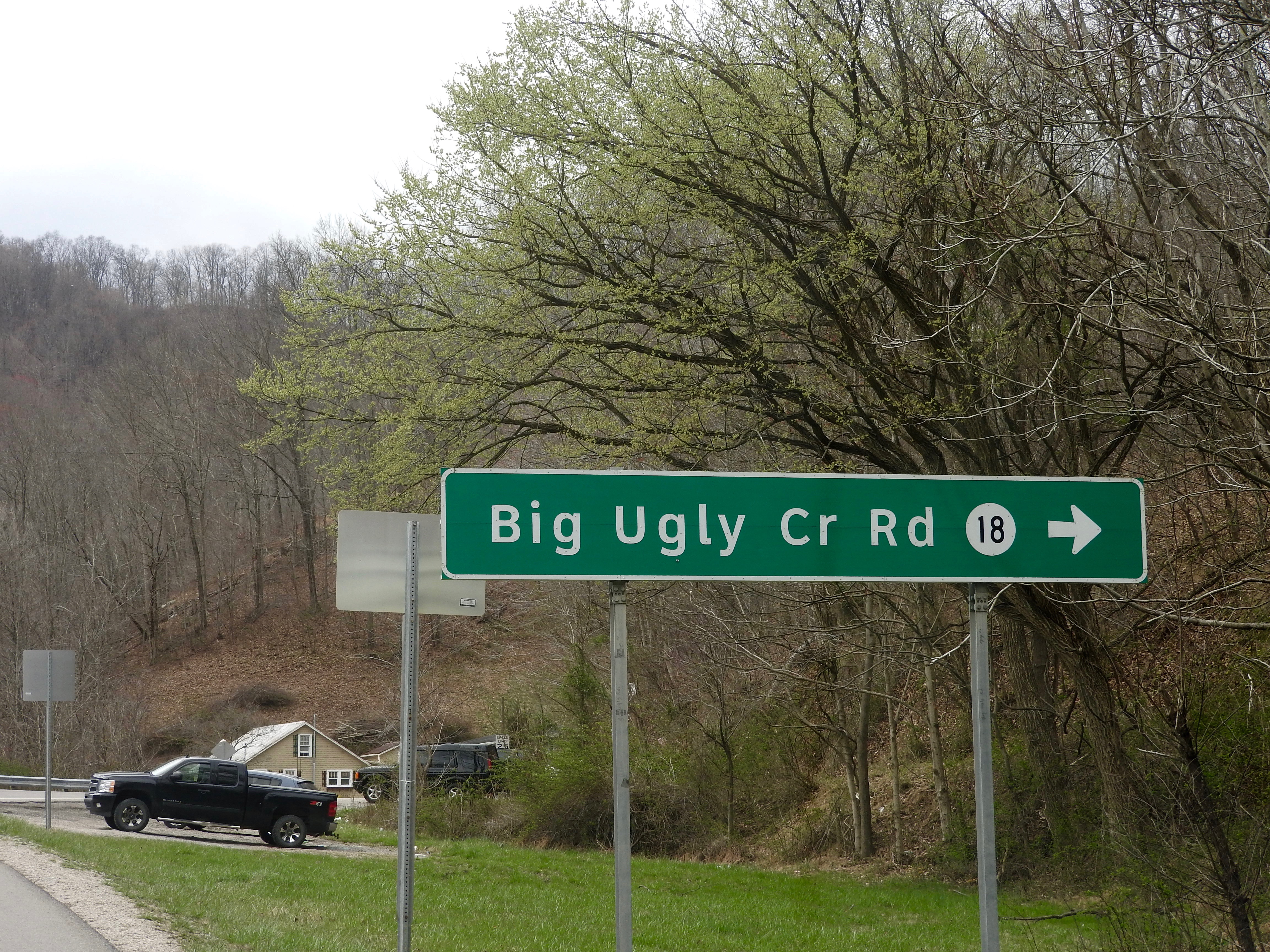
Big Ugly Creek

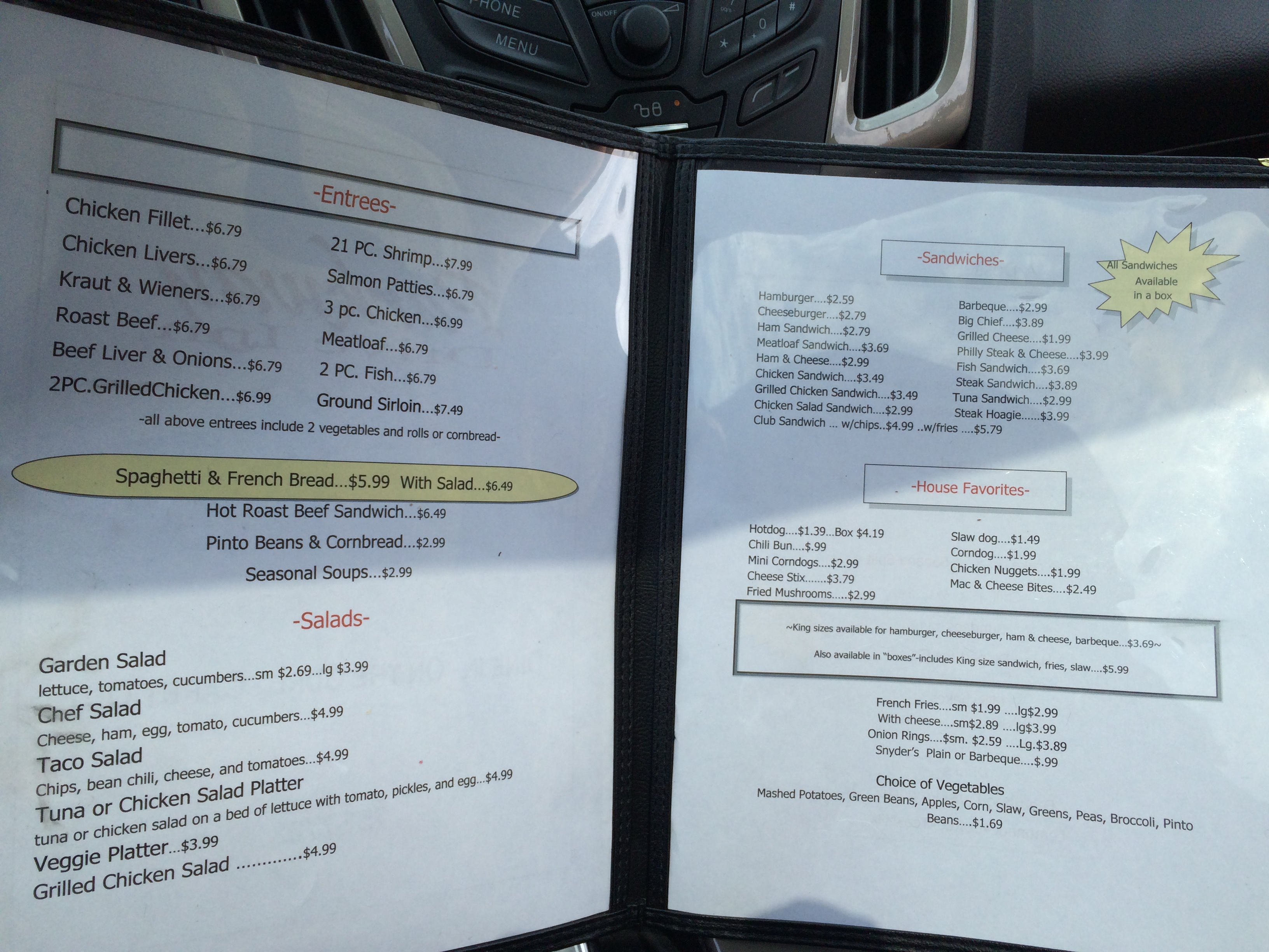
Morrisons drive in
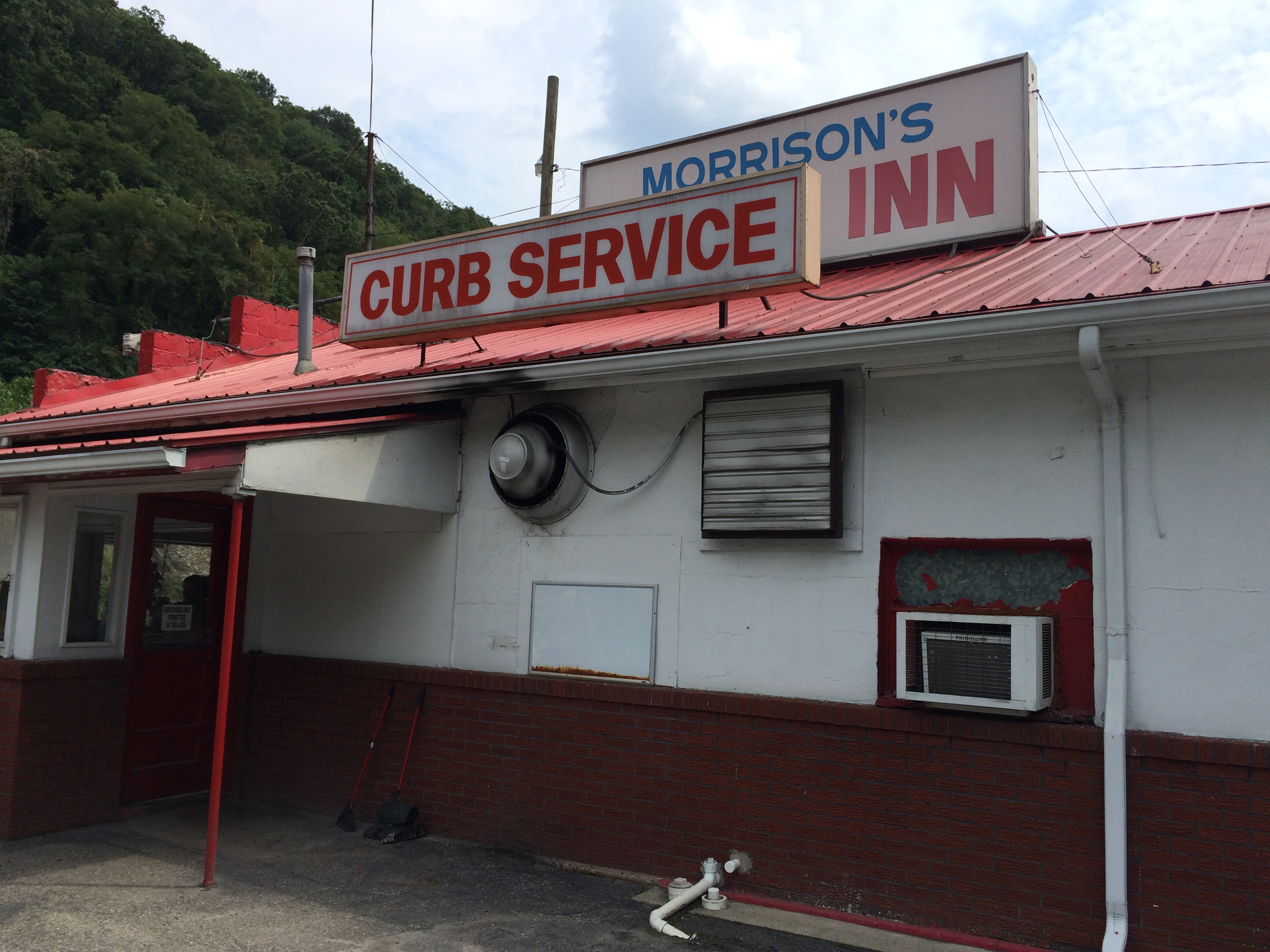
Morrisons drive in

Morrisons drive in

Morrisons drive in
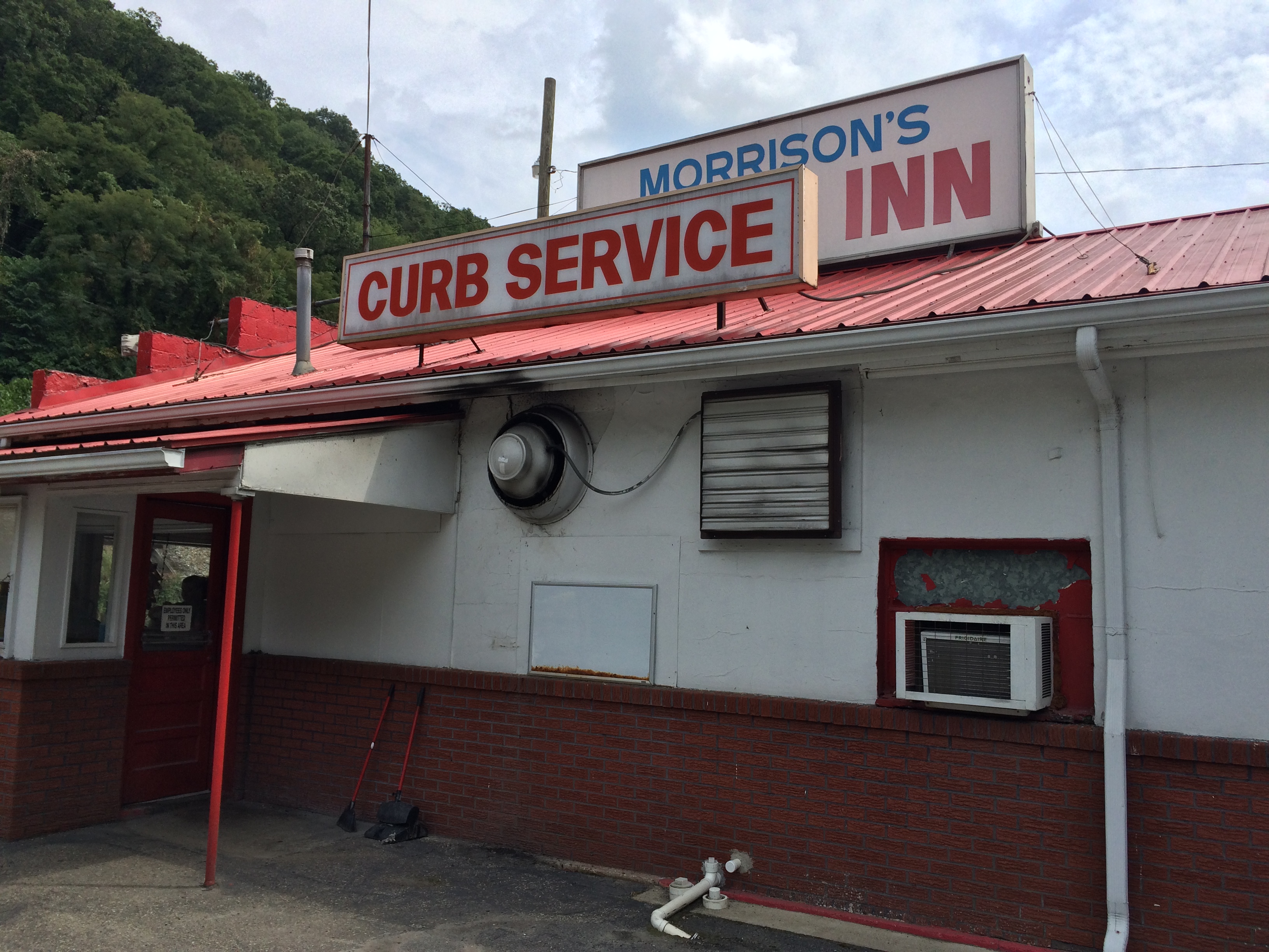
Morrisons drive in

Morrisons drive in

Parkway Drive In
Parkway Drive In

Parkway Drive In

Parkway Drive In

Parkway Drive In

Parkway Drive In
Parkway Drive In

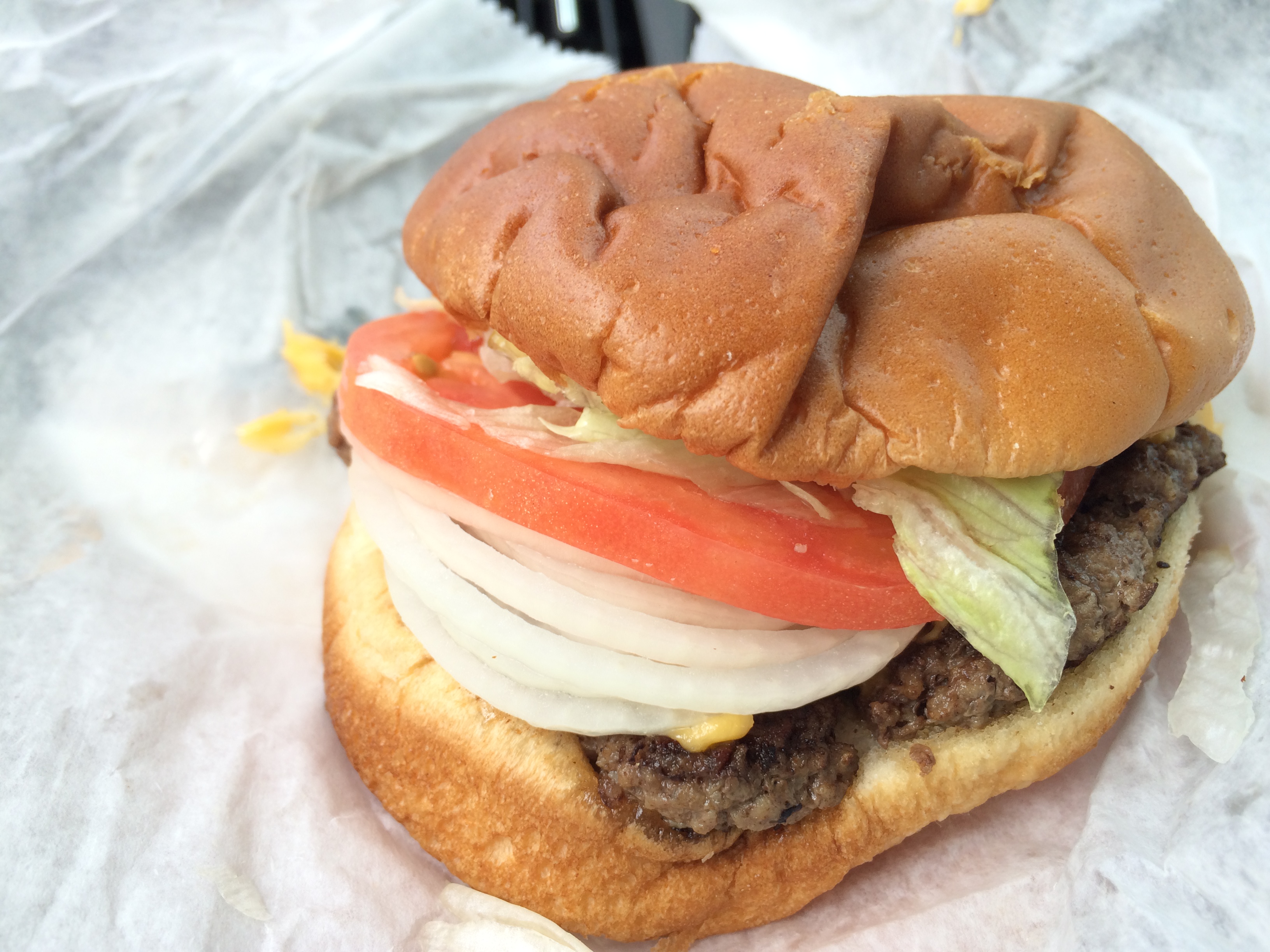
Janet's Park & Eat
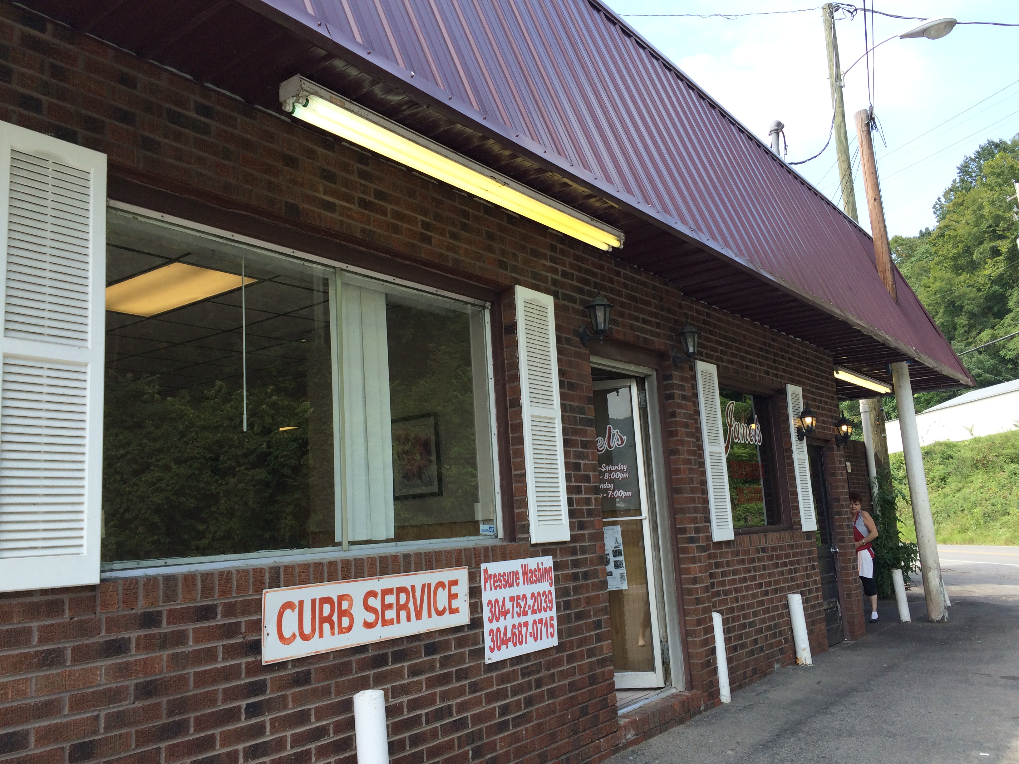
Janet's Park & Eat

Janet's Park & Eat
Topographic Map of Co Hwy 12/01, Pecks Mill, WV, USA
Find elevation by address:

Places near Co Hwy 12/01, Pecks Mill, WV, USA:
Chief Logan State Park
Logan
81 Taurus St, Logan, WV, USA
Mount Gay-shamrock
53 Apache Trl, Lake, WV, USA
Shawnee Cir, Switzer, WV, USA
Central
Holden
Logan County
Rum Creek Rd, Yolyn, WV, USA
Shively, WV, USA
Hanging Rock Hwy, Lyburn, WV, USA
Rum Creek Rd, Yolyn, WV, USA
48 Old Delta 48 Rd, Holden, WV, USA
Western
Western
Western
179 Lumber Camp Cir
Omar
Yolyn
Recent Searches:
- Elevation of Corso Fratelli Cairoli, 35, Macerata MC, Italy
- Elevation of Tallevast Rd, Sarasota, FL, USA
- Elevation of 4th St E, Sonoma, CA, USA
- Elevation of Black Hollow Rd, Pennsdale, PA, USA
- Elevation of Oakland Ave, Williamsport, PA, USA
- Elevation of Pedrógão Grande, Portugal
- Elevation of Klee Dr, Martinsburg, WV, USA
- Elevation of Via Roma, Pieranica CR, Italy
- Elevation of Tavkvetili Mountain, Georgia
- Elevation of Hartfords Bluff Cir, Mt Pleasant, SC, USA