Elevation of CO-96, Avondale, CO, USA
Location: United States > Colorado > Pueblo County > Avondale >
Longitude: -104.34599
Latitude: 38.260322
Elevation: 1376m / 4514feet
Barometric Pressure: 86KPa
Elevation Map:
Satellite Map:
Related Photos:
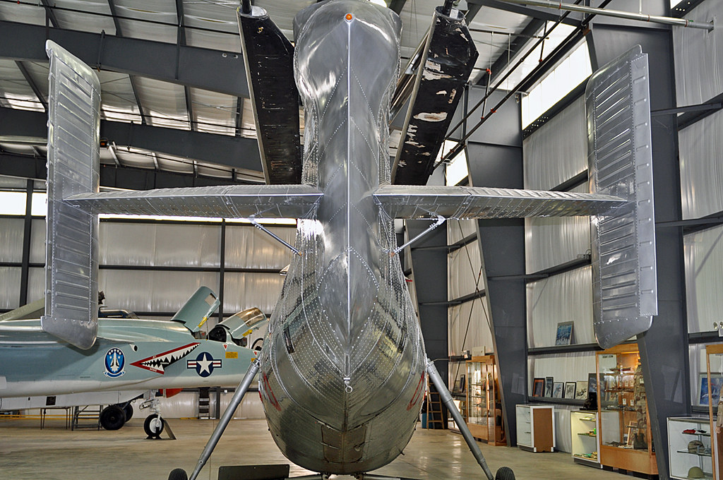
Vertol H-21B Workhorse tail view

Snow (& Ross's) Geese

Red-winged Blackbirds

Sharp-shinned Hawk

Northern Flicker and Blue Jay

Mountain Chickadee

"Harlan's" Red-tailed Hawk

Downy Woodpecker

Ross's Goose & Snow Goose

Prairie Falcon

Swamp Sparrow
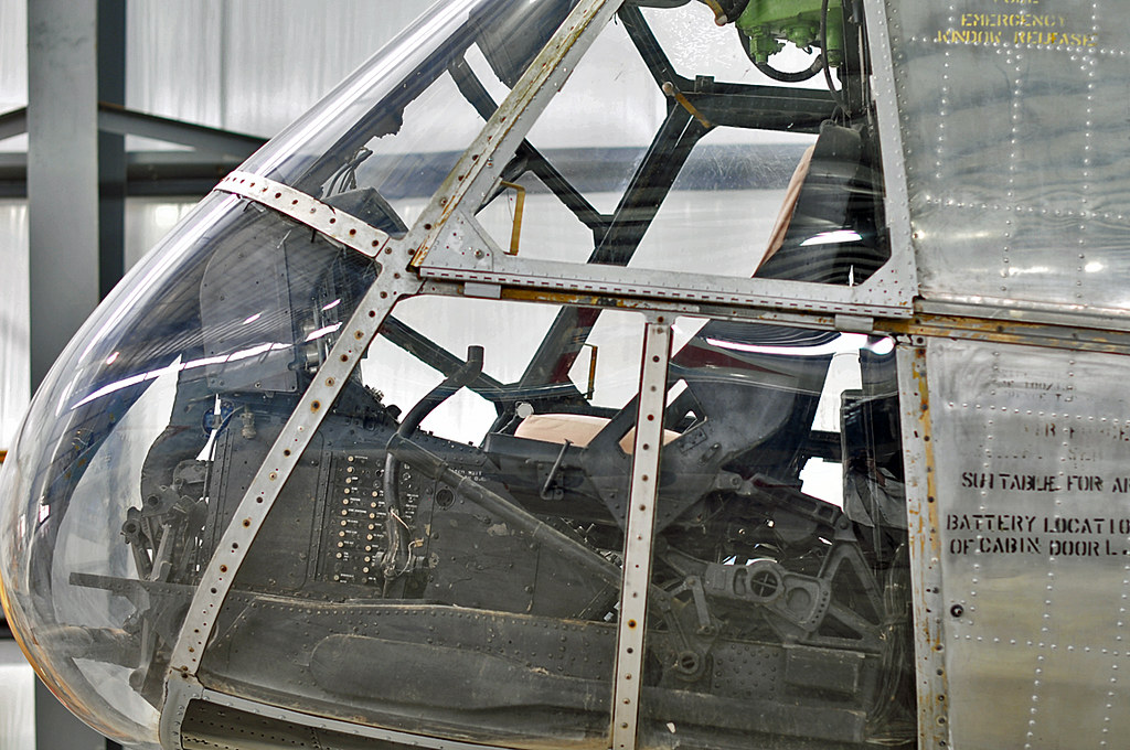
Vertol H-21B Workhorse cockpit

"Harlan's" Red-tailed Hawk

Yellow-headed Blackbird

Western Kingbird

Red-tailed Hawk

Red-tailed Hawk

For the word of God is alive and powerful

Corn and Clouds - Pueblo, CO
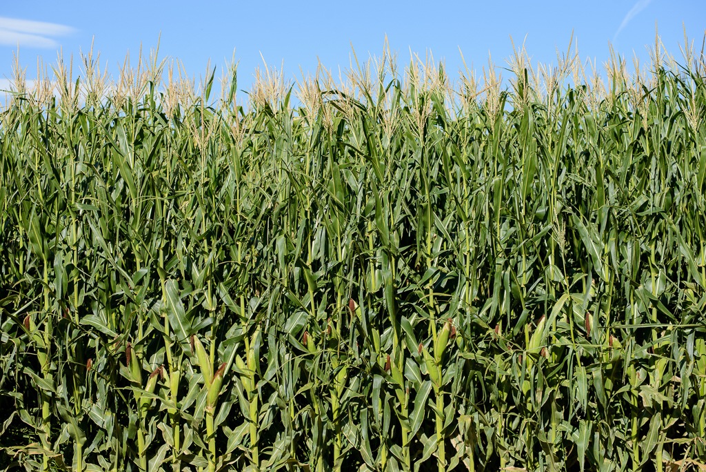
Corn - Pueblo, CO

Storm Promise

Eastern Plains Storm
Topographic Map of CO-96, Avondale, CO, USA
Find elevation by address:

Places near CO-96, Avondale, CO, USA:
Pueblo Chemical Depot
Avondale
US-50, Boone, CO, USA
1603 55th Ln
2071 41 1/2 Ln
Boone
North Highland Avenue
38275 S Rd
218 36th Ln
US-50 BUS, Pueblo, CO, USA
Vineland
38400 E United Ave
Pueblo County
Pinon Avenue
Pinon Avenue
32207 E United Ave
1 William White Blvd
29707 Hillside Rd
PUEBLO DEP AC, CO, USA
Johneva St, Pueblo, CO, USA
Recent Searches:
- Elevation of Village Point Dr, Daphne, AL, USA
- Elevation map of Kabardino-Balkarian Republic, Russia
- Elevation of Tyrnyauz, Kabardino-Balkarian Republic, Russia
- Elevation of Sunset Dr, Hernando, MS, USA
- Elevation of Lake Rotoroa, Tasman, New Zealand
- Elevation of George St, New Bern, NC, USA
- Elevation of Cove Rd, Jasper, GA, USA
- Elevation of Cove Rd, Jasper, GA, USA
- Elevation of South Yankee Meadow Road, Forest Road, Paragonah, UT, USA
- Elevation of SW Elderview Dr, Sherwood, OR, USA