Elevation of Avondale, CO, USA
Location: United States > Colorado > Pueblo County >
Longitude: -104.35107
Latitude: 38.2375025
Elevation: 1390m / 4560feet
Barometric Pressure: 86KPa
Elevation Map:
Satellite Map:
Related Photos:
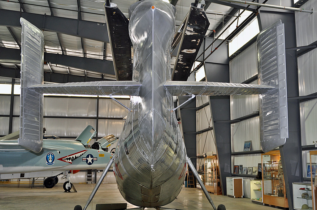
Vertol H-21B Workhorse tail view

Snow (& Ross's) Geese

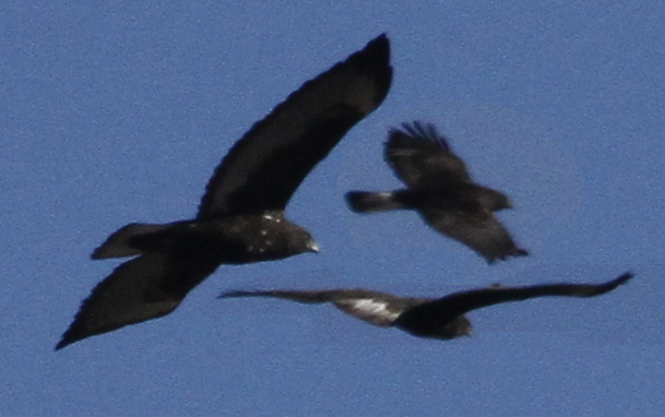
Red-winged Blackbirds

Sharp-shinned Hawk

Northern Flicker and Blue Jay

Mountain Chickadee
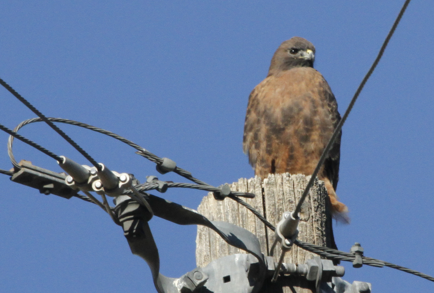
"Harlan's" Red-tailed Hawk
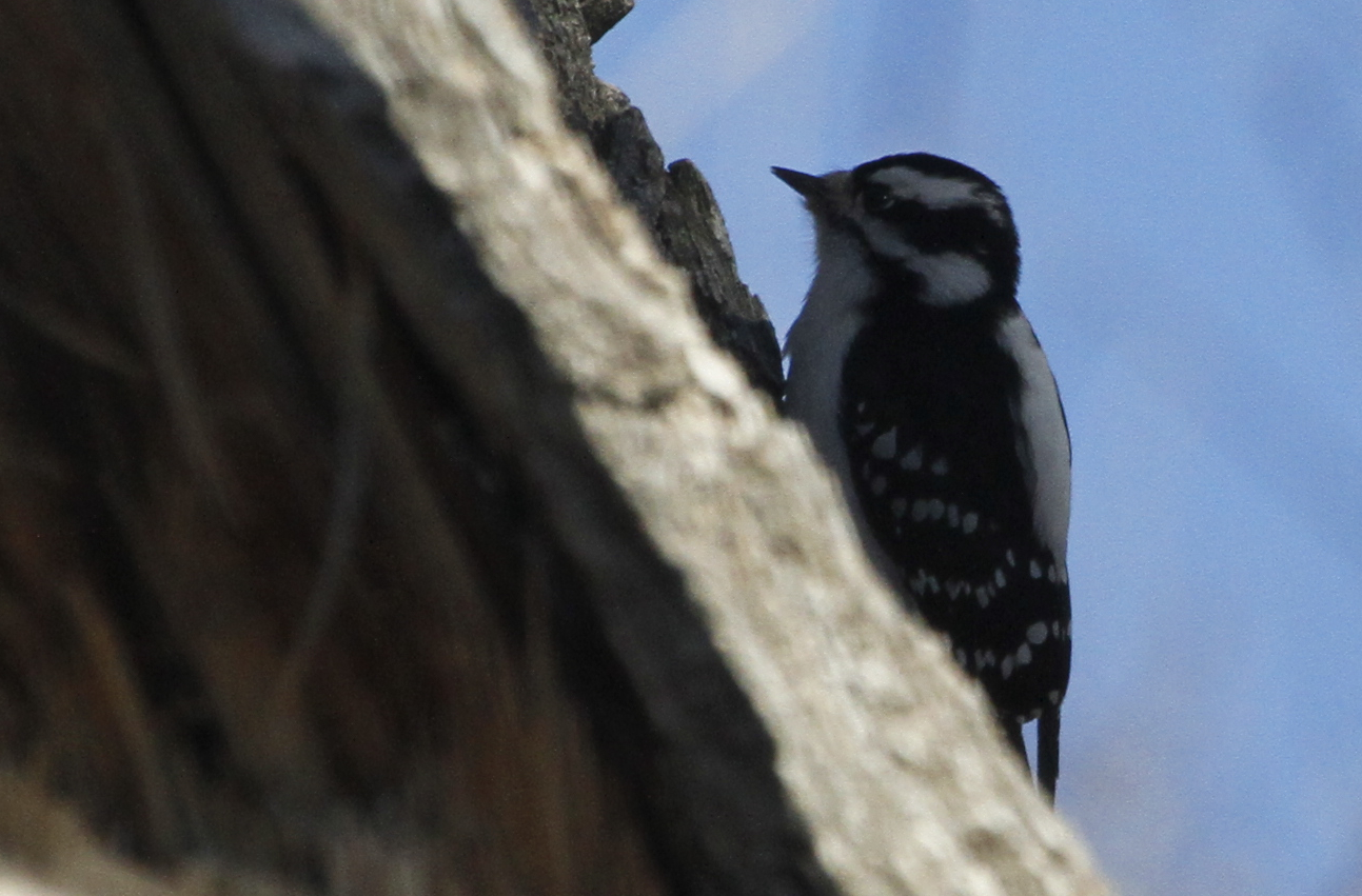
Downy Woodpecker

Ross's Goose & Snow Goose
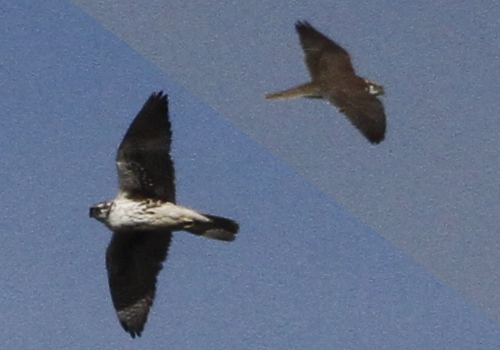
Prairie Falcon

Swamp Sparrow

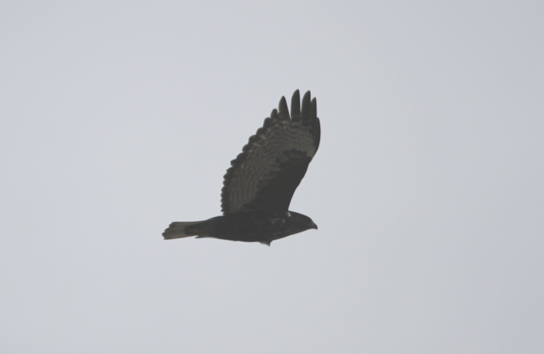
Red-tailed Hawk
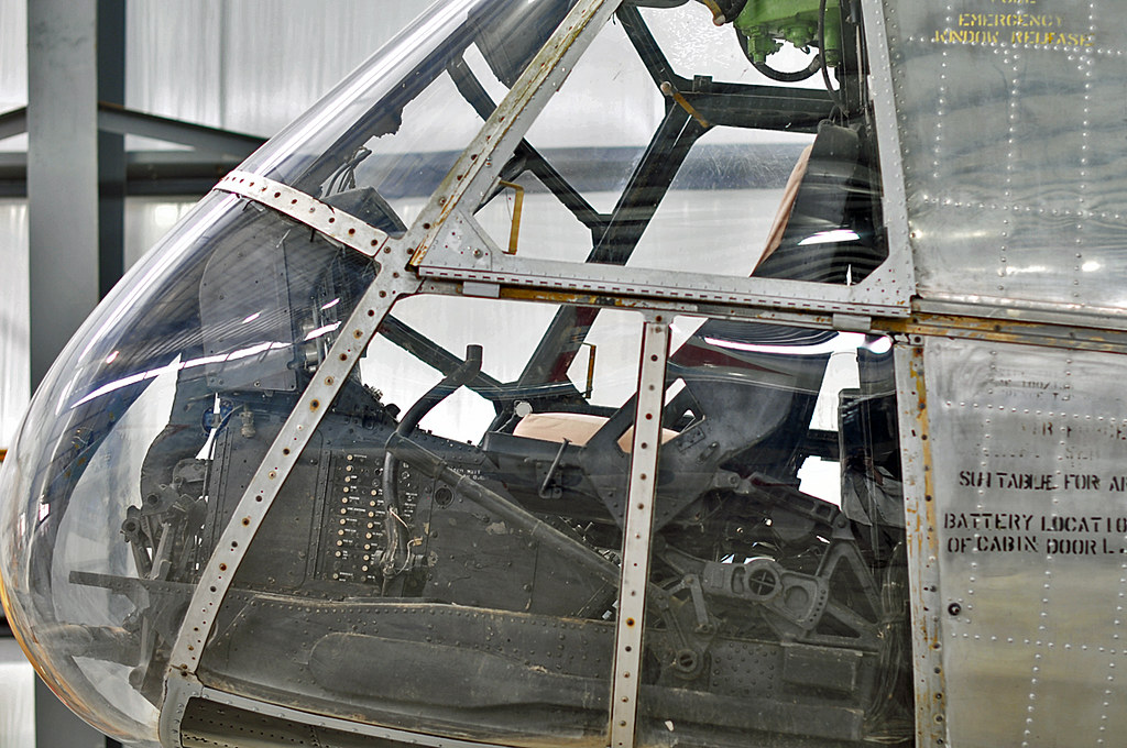
Vertol H-21B Workhorse cockpit
"Harlan's" Red-tailed Hawk

Yellow-headed Blackbird
Red-tailed Hawk
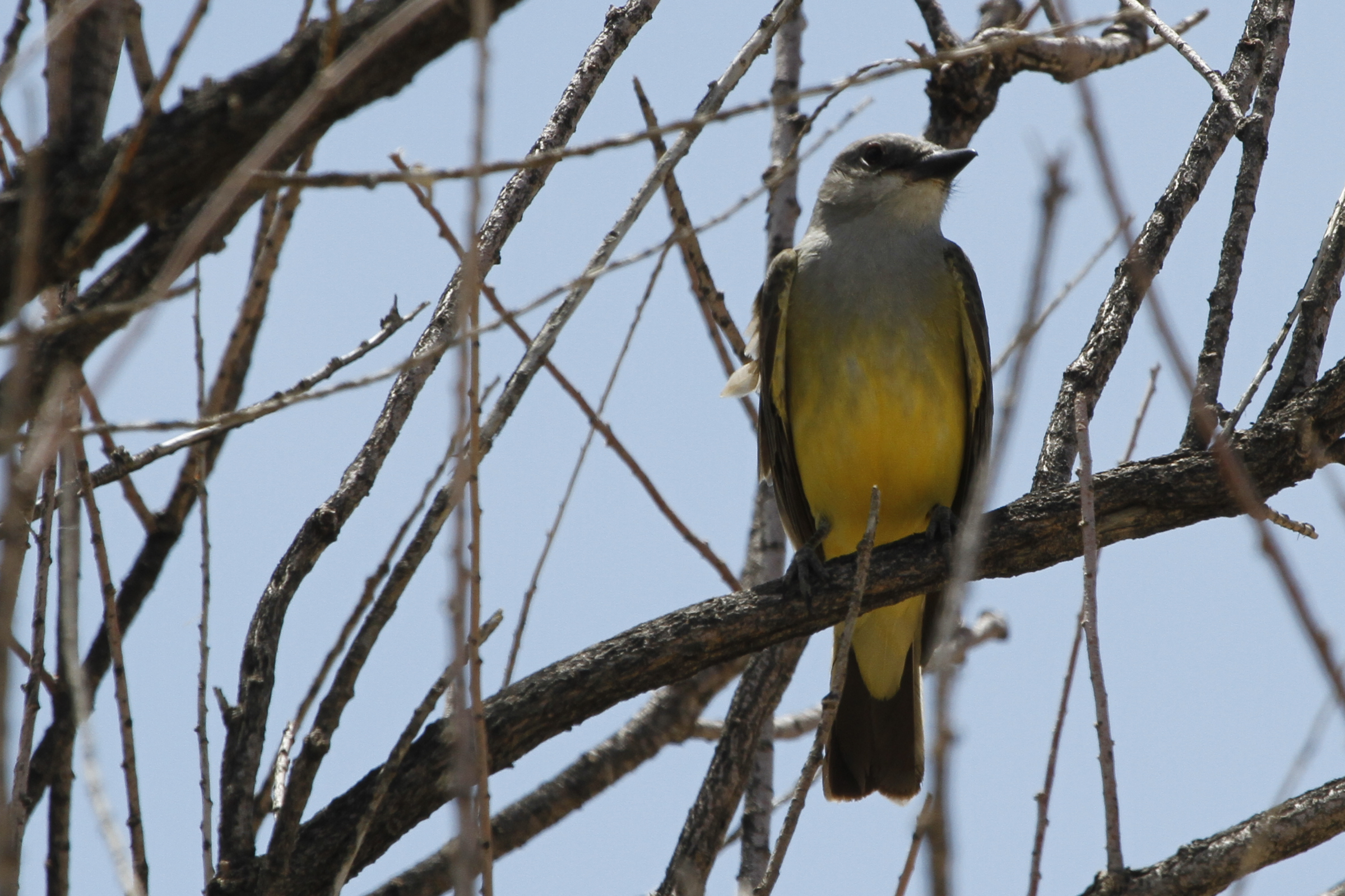
Western Kingbird

For the word of God is alive and powerful

Corn and Clouds - Pueblo, CO
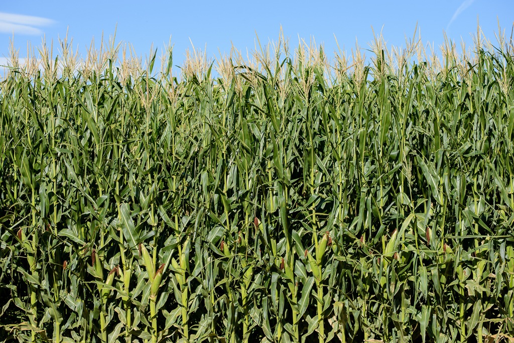
Corn - Pueblo, CO

Storm Promise
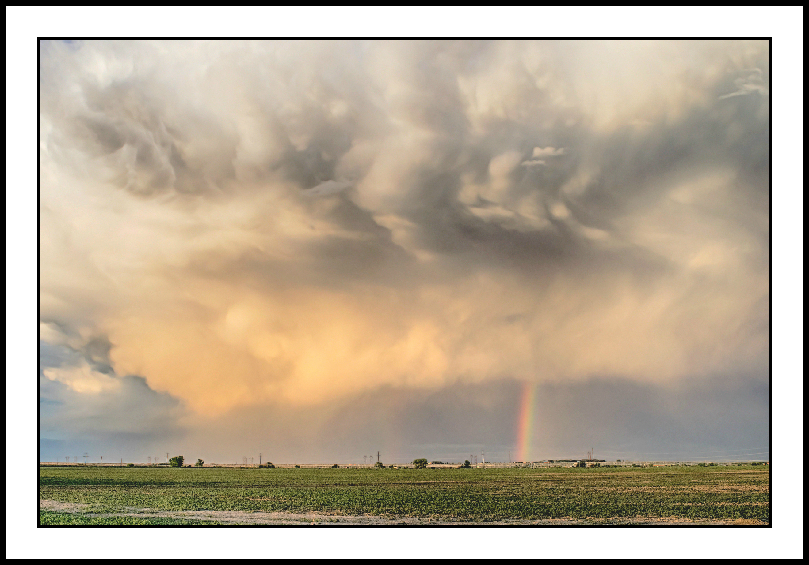
Eastern Plains Storm
Topographic Map of Avondale, CO, USA
Find elevation by address:

Places in Avondale, CO, USA:
Places near Avondale, CO, USA:
CO-96, Avondale, CO, USA
Pueblo Chemical Depot
US-50, Boone, CO, USA
2071 41 1/2 Ln
1603 55th Ln
38275 S Rd
Boone
North Highland Avenue
US-50 BUS, Pueblo, CO, USA
Vineland
218 36th Ln
Pueblo County
38400 E United Ave
Pinon Avenue
Pinon Avenue
32207 E United Ave
29707 Hillside Rd
1 William White Blvd
Johneva St, Pueblo, CO, USA
1628 Delphil St
Recent Searches:
- Elevation of Congressional Dr, Stevensville, MD, USA
- Elevation of Bellview Rd, McLean, VA, USA
- Elevation of Stage Island Rd, Chatham, MA, USA
- Elevation of Shibuya Scramble Crossing, 21 Udagawacho, Shibuya City, Tokyo -, Japan
- Elevation of Jadagoniai, Kaunas District Municipality, Lithuania
- Elevation of Pagonija rock, Kranto 7-oji g. 8"N, Kaunas, Lithuania
- Elevation of Co Rd 87, Jamestown, CO, USA
- Elevation of Tenjo, Cundinamarca, Colombia
- Elevation of Côte-des-Neiges, Montreal, QC H4A 3J6, Canada
- Elevation of Bobcat Dr, Helena, MT, USA