Elevation of Cloyd, VA, USA
Location: United States > Virginia > Pulaski County >
Longitude: -80.654888
Latitude: 37.1629561
Elevation: 578m / 1896feet
Barometric Pressure: 95KPa
Elevation Map:
Satellite Map:
Related Photos:
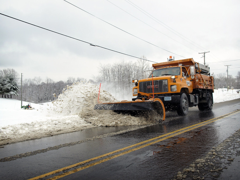
Snow Plow
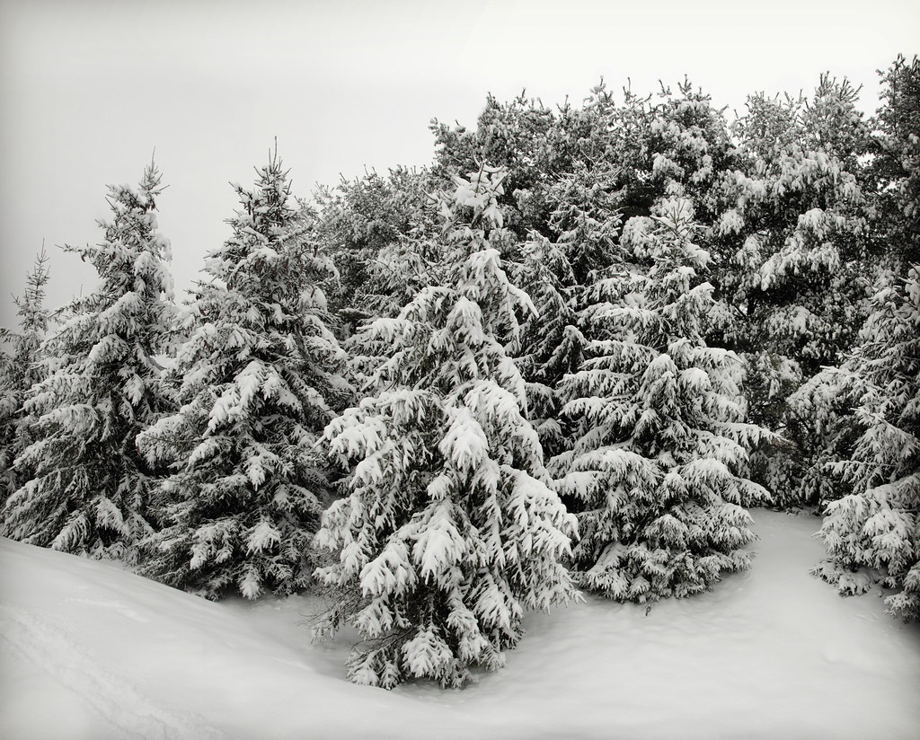
Snow Covered Trees

Abandoned Ship
Diesel interruption

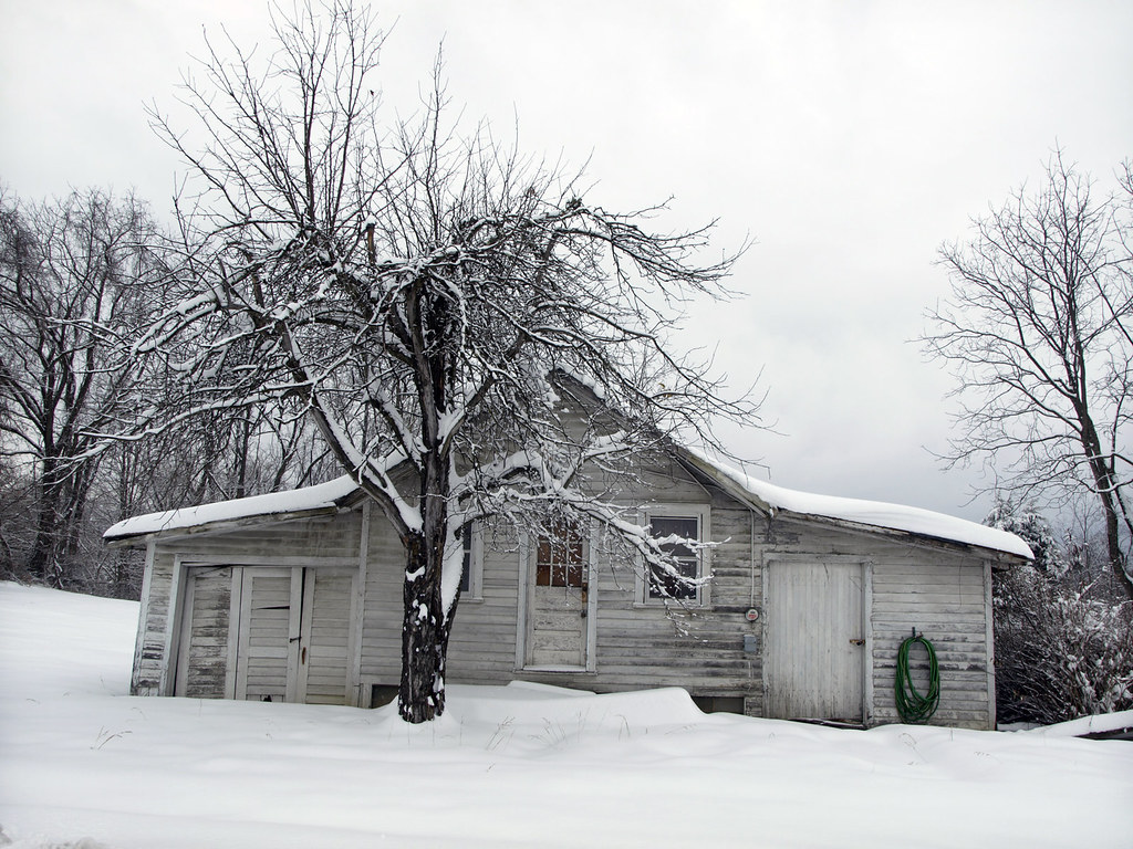
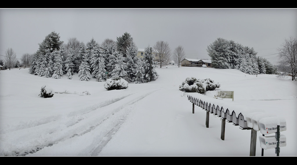
Snow Covered Lane
Old White, New White
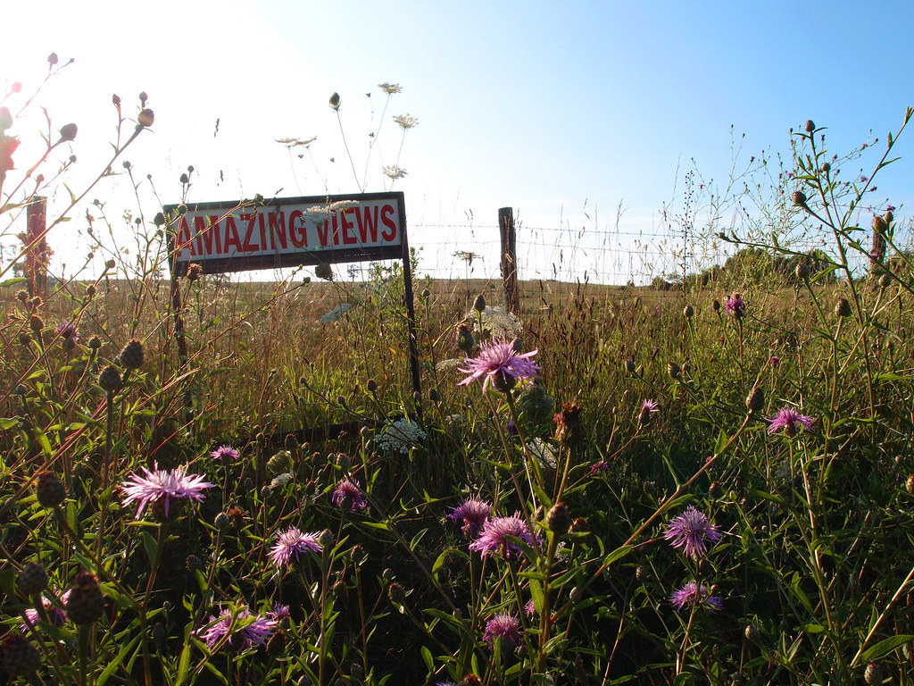
Amazing Views
Snowy landscape

Side view of pod
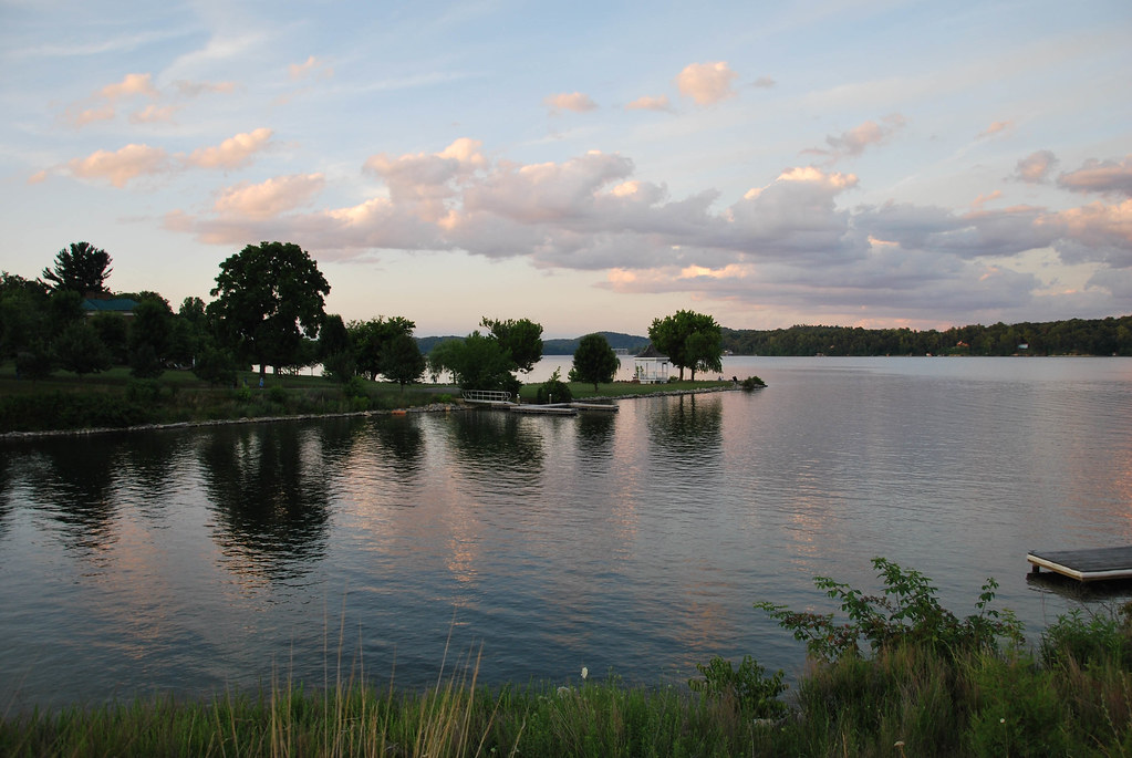
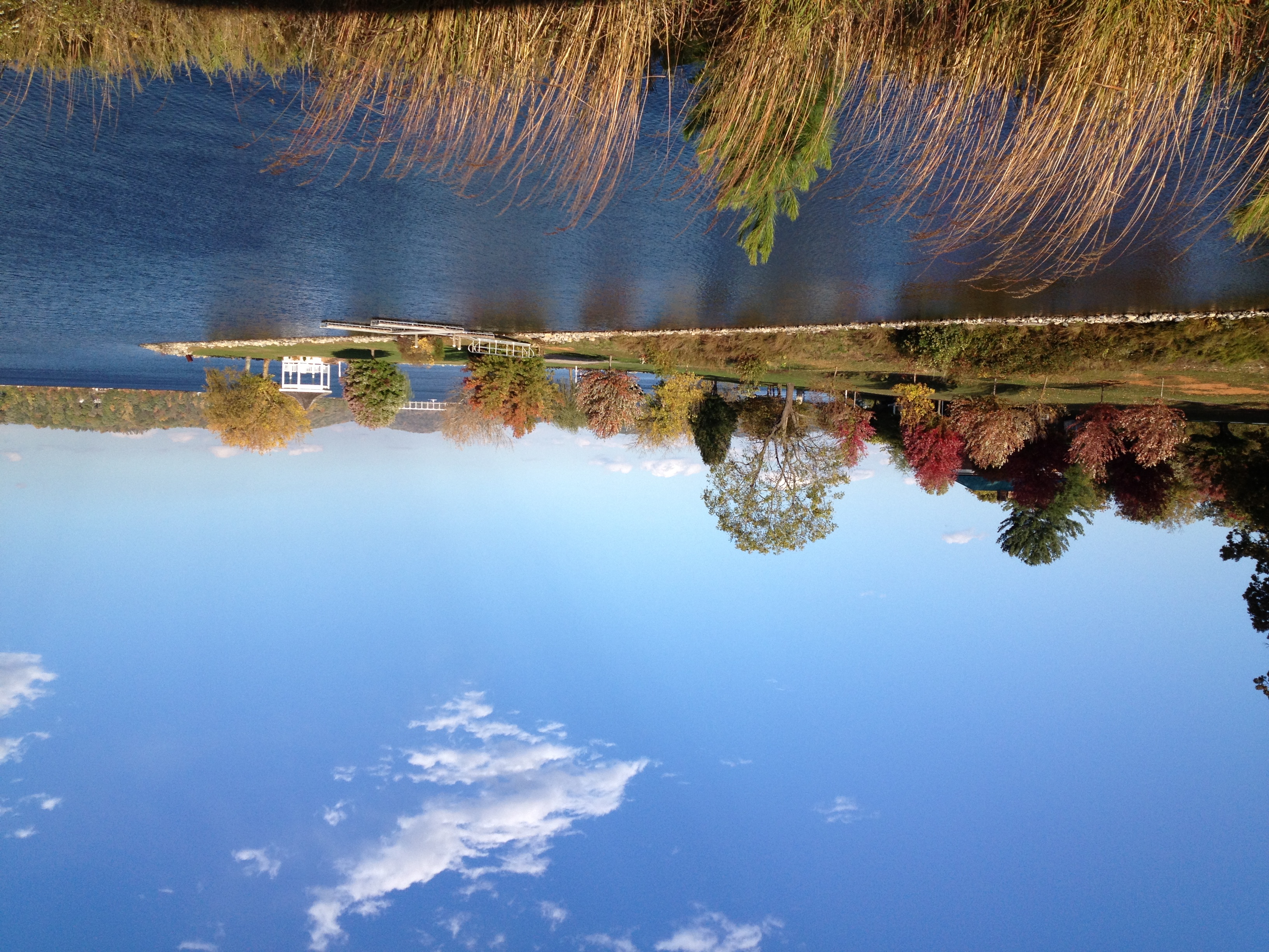
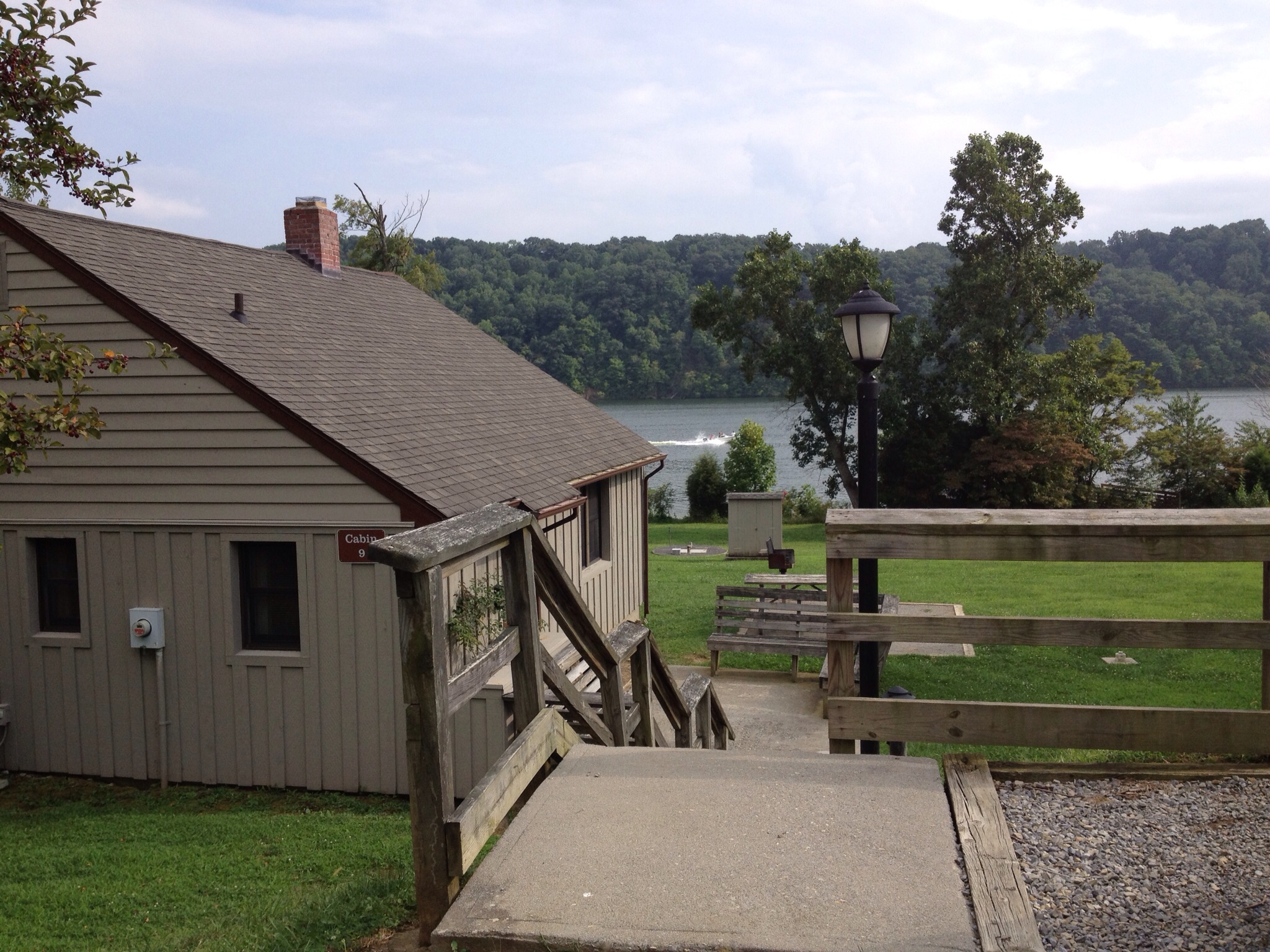
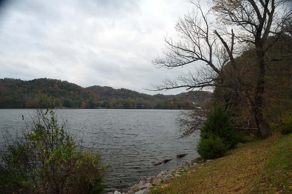
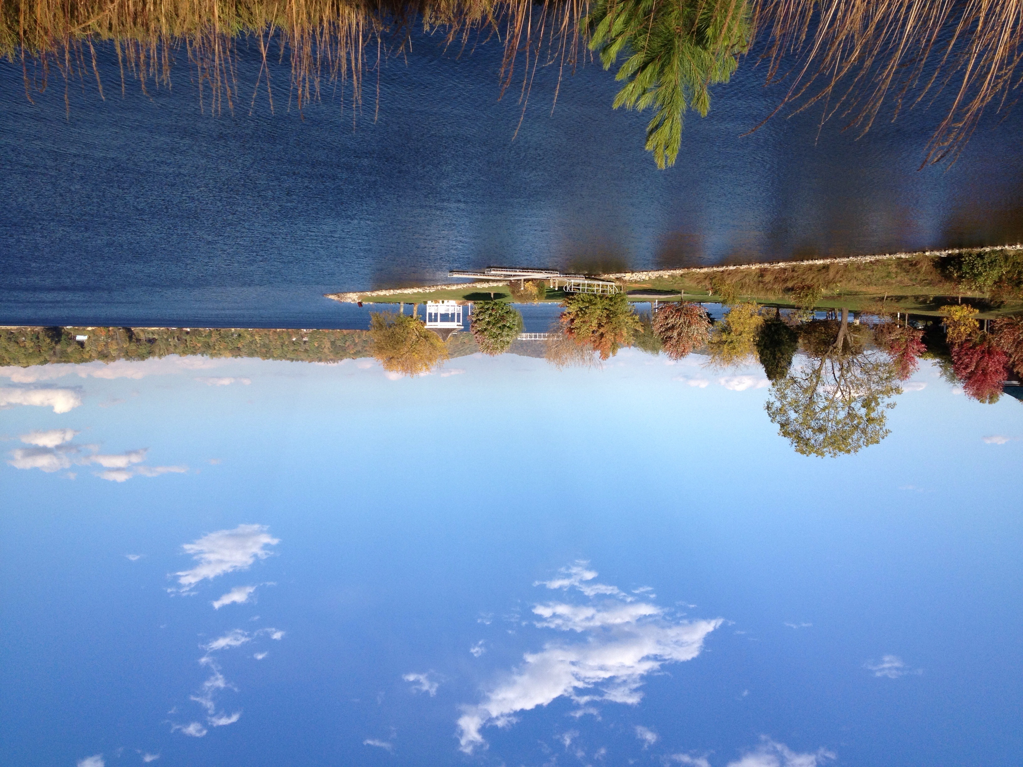
Claytor Lake

Covered In Snow

The Parlor Remix

A Perfect Day

Table and Bench
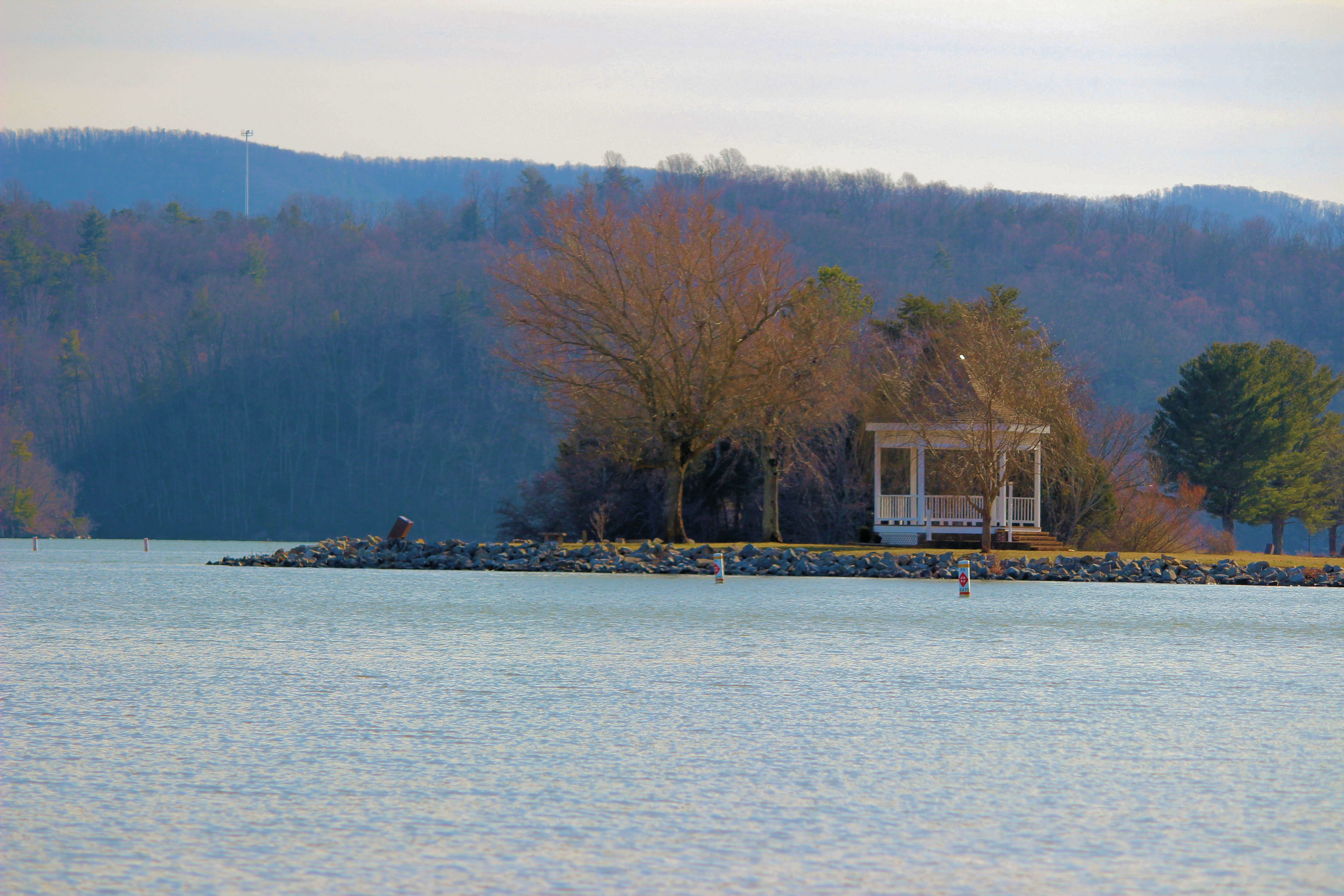
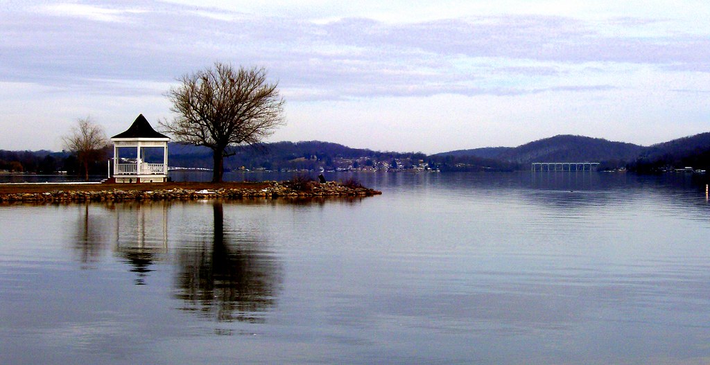
Claytor Lake Gazebo
2013 001

2013 004
Claytor Lake
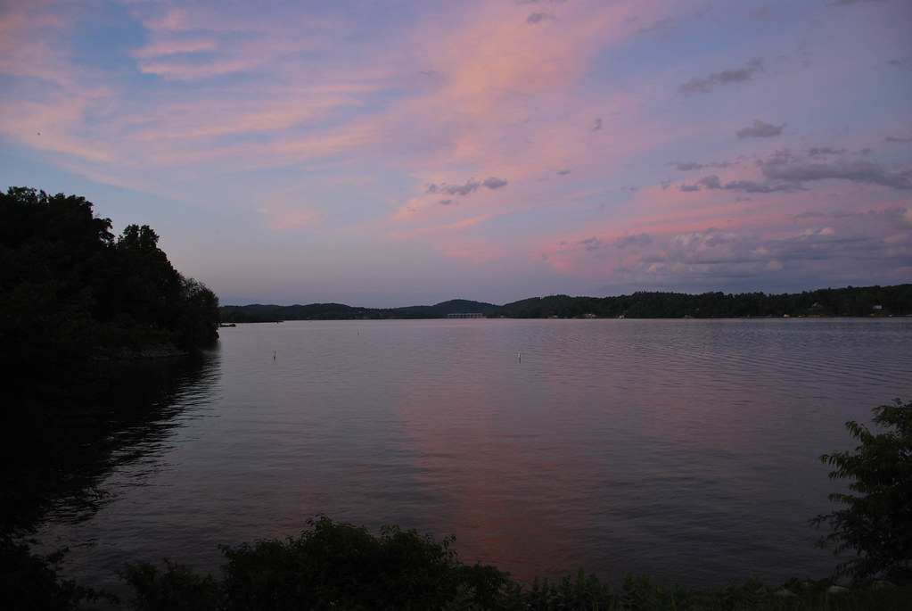
CL summer 2013
Claytor Lake
CL summer 2013

Heron Hunting

Fall drive

Clubhouse, Pete Dye River Course of Virginia Tech

Active campfire

A nice end
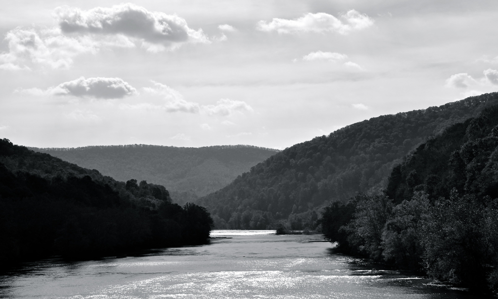
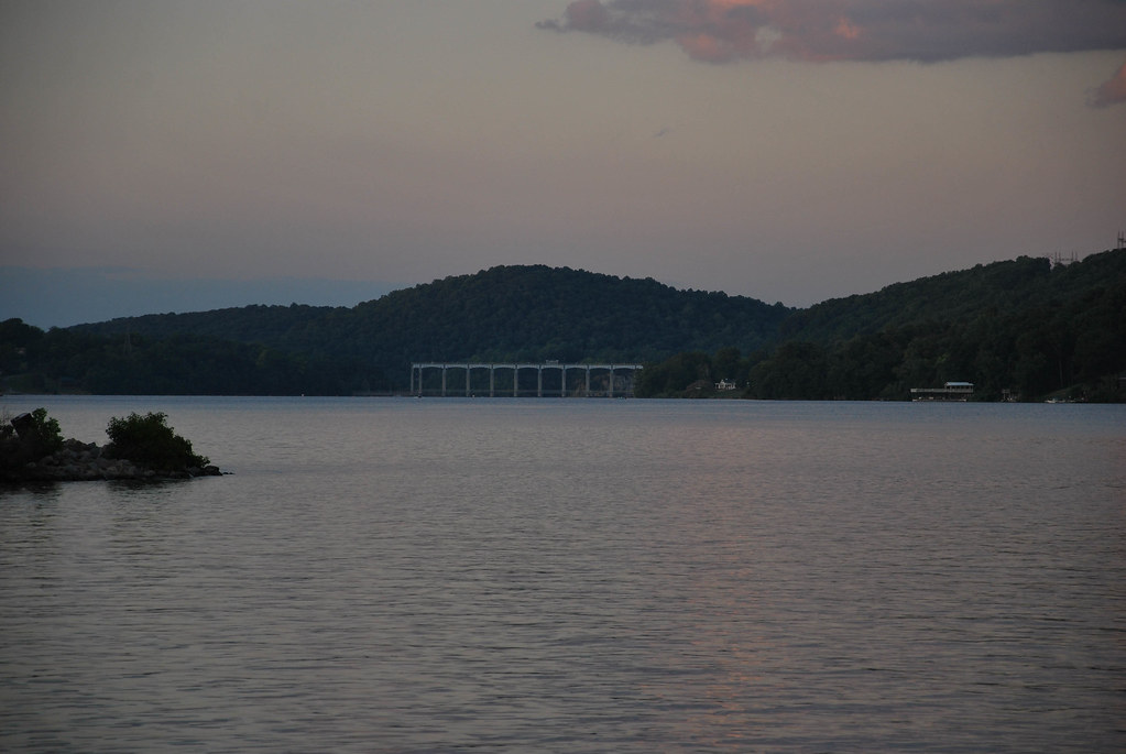
The New River

Fishing the New River
2-OnClaytorLake
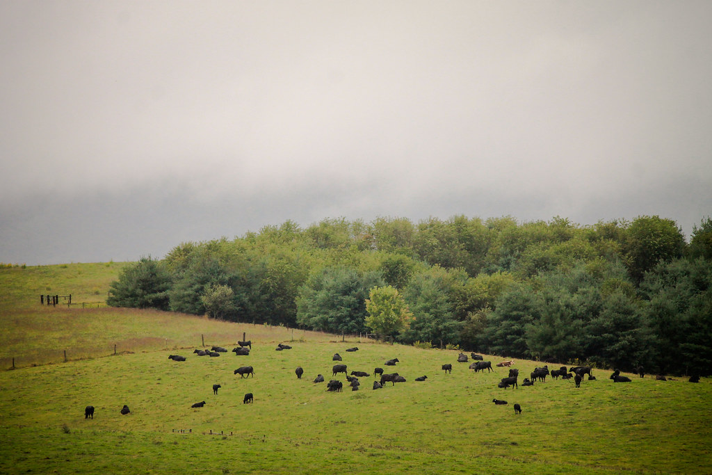
Cattle-2

3-MorningClaytorLake

Dark woods

The River Course
Fall at Claytor Lake
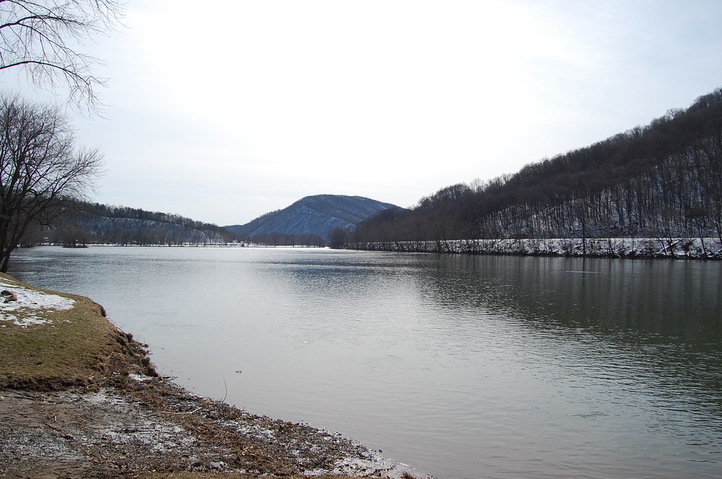
NEW RIVER
Claytor Lake
Topographic Map of Cloyd, VA, USA
Find elevation by address:

Places in Cloyd, VA, USA:
Places near Cloyd, VA, USA:
Highland Rd, Dublin, VA, USA
Stephen Dr, Dublin, VA, USA
Parrott
8074 Hopkins Ln
Dublin
144 Locust Ave
3311 Lake Ridge Rd
263 Willards Ln
Cleburne Boulevard
Fairlawn
Springdale Road
Mccoy
Parrott River Rd, Parrott, VA, USA
Radford Water Department
20 Forest Ave
20 Forest Ave
20 Forest Ave
Anthracite Lane
Bisset Park
Radford
Recent Searches:
- Elevation of Corso Fratelli Cairoli, 35, Macerata MC, Italy
- Elevation of Tallevast Rd, Sarasota, FL, USA
- Elevation of 4th St E, Sonoma, CA, USA
- Elevation of Black Hollow Rd, Pennsdale, PA, USA
- Elevation of Oakland Ave, Williamsport, PA, USA
- Elevation of Pedrógão Grande, Portugal
- Elevation of Klee Dr, Martinsburg, WV, USA
- Elevation of Via Roma, Pieranica CR, Italy
- Elevation of Tavkvetili Mountain, Georgia
- Elevation of Hartfords Bluff Cir, Mt Pleasant, SC, USA