Elevation of Clearfield Curwensville Hwy, Clearfield, PA, USA
Location: United States > Pennsylvania > Clearfield County > Lawrence Township >
Longitude: -78.455517
Latitude: 41.0038
Elevation: 343m / 1125feet
Barometric Pressure: 97KPa
Elevation Map:
Satellite Map:
Related Photos:

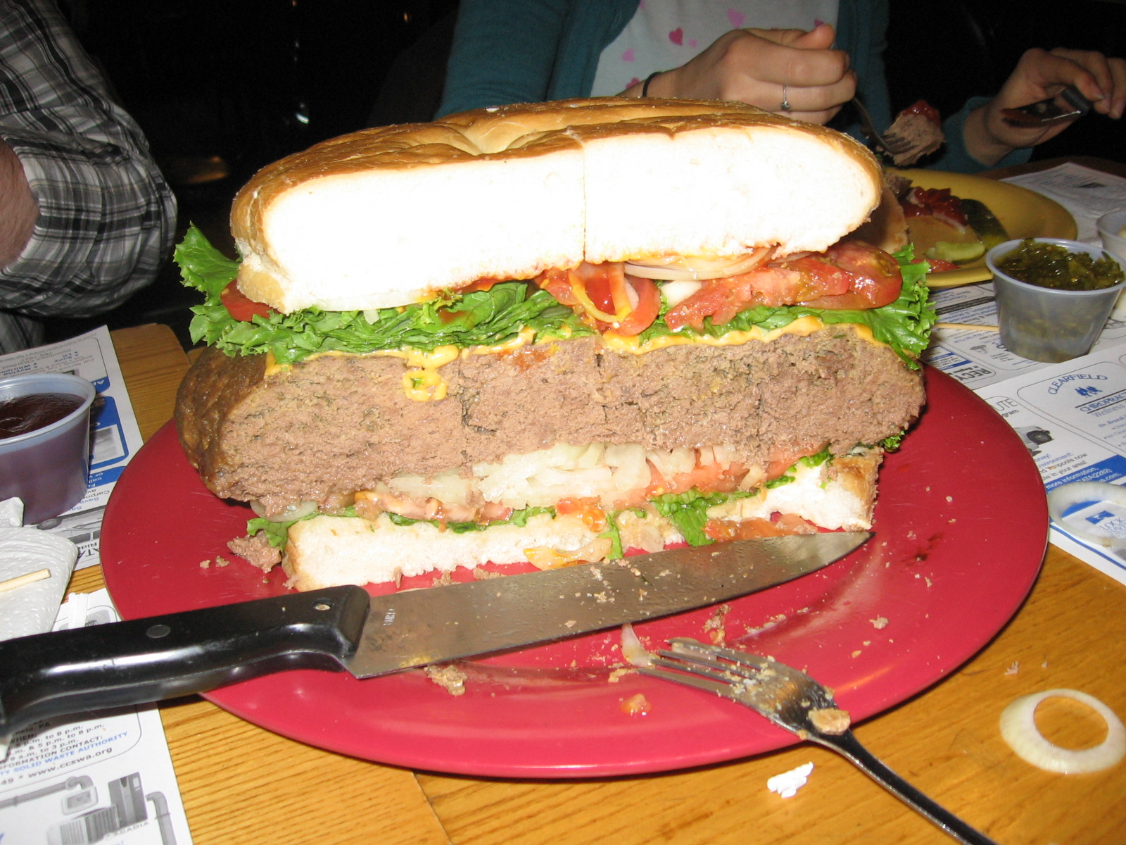
Wal-Mart Supercenter - Clearfield, PA (Taken from Interstate 80)
The view from my run this morning.
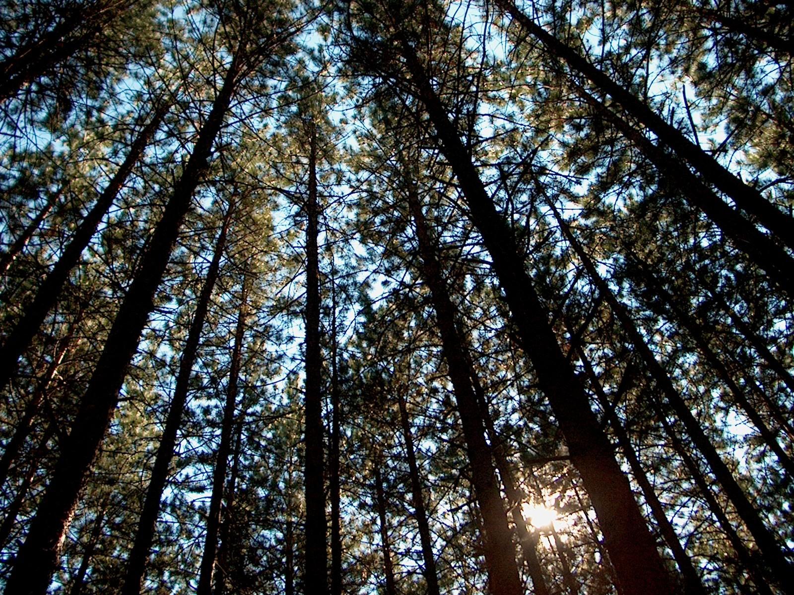
Parker Dam - Trail of New Giants View

Softail...
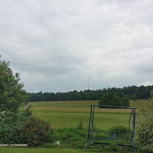
Ah the view up the hill. Morning from the farm
view from my window at the vacation home
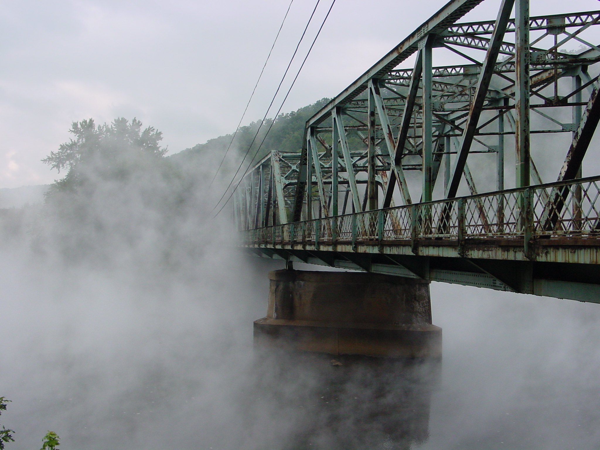
Thermal Bridge
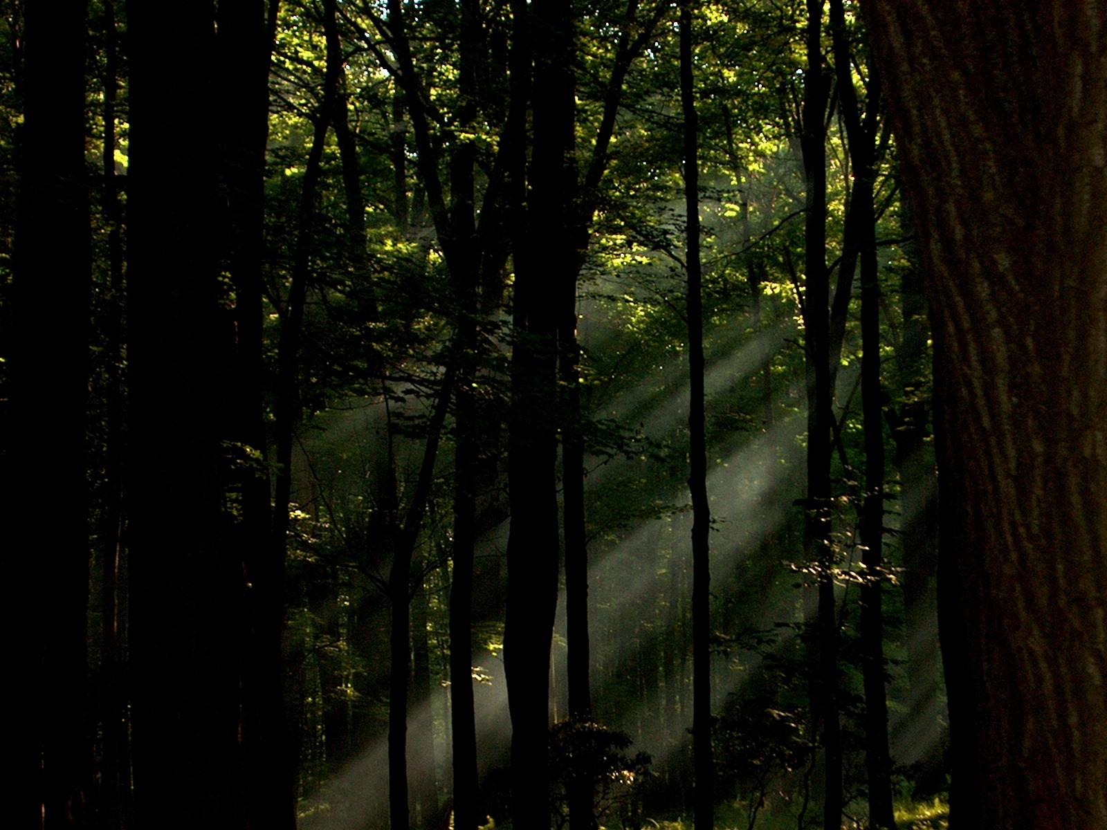
Sunrise-mid morning view
A nice ride is waiting for someone...
DSC07591.JPG
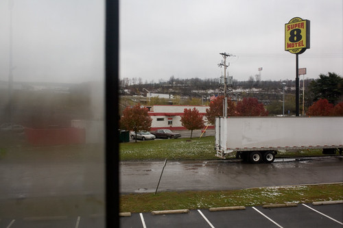
Beautiful view from our motel room
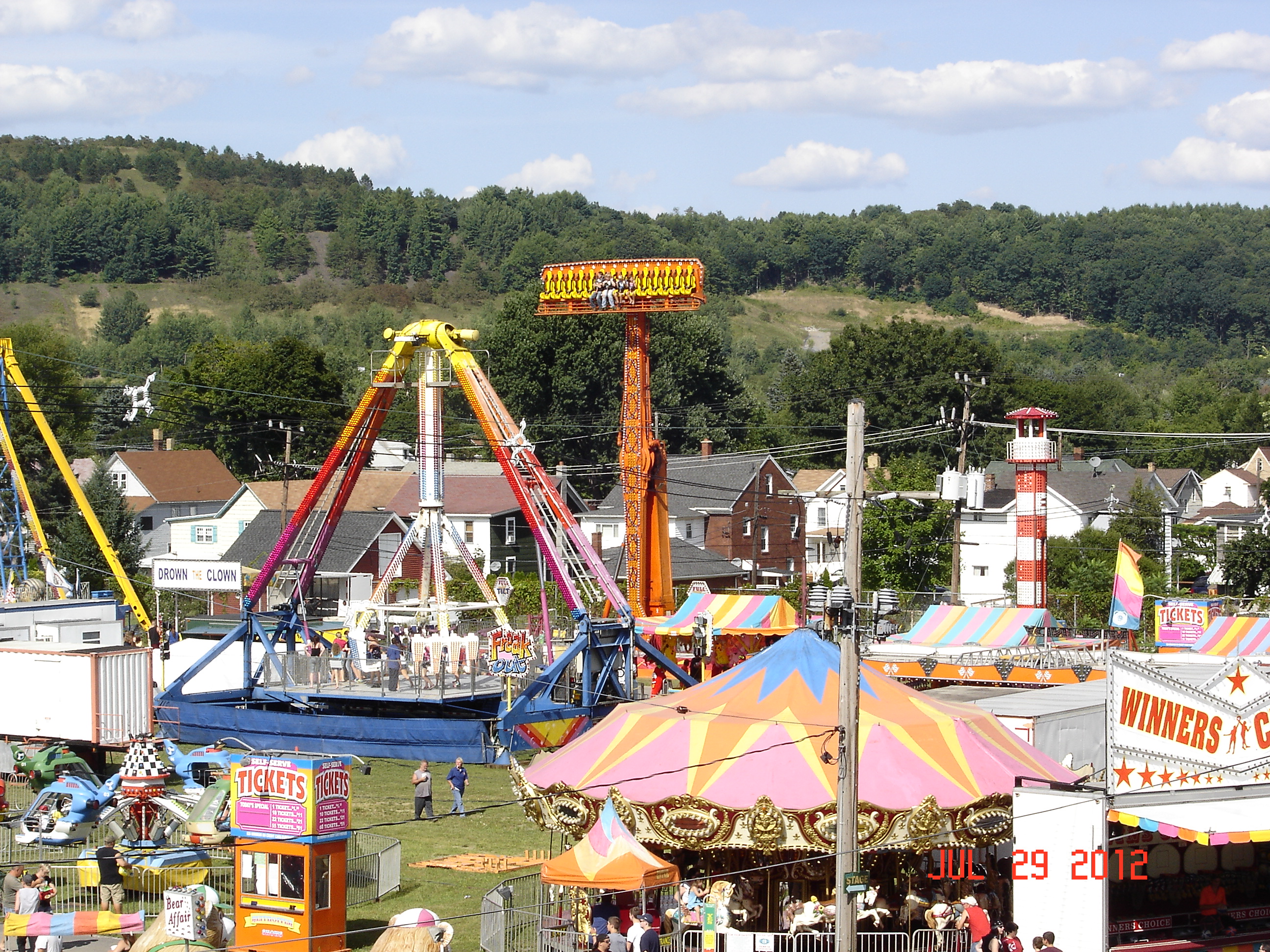
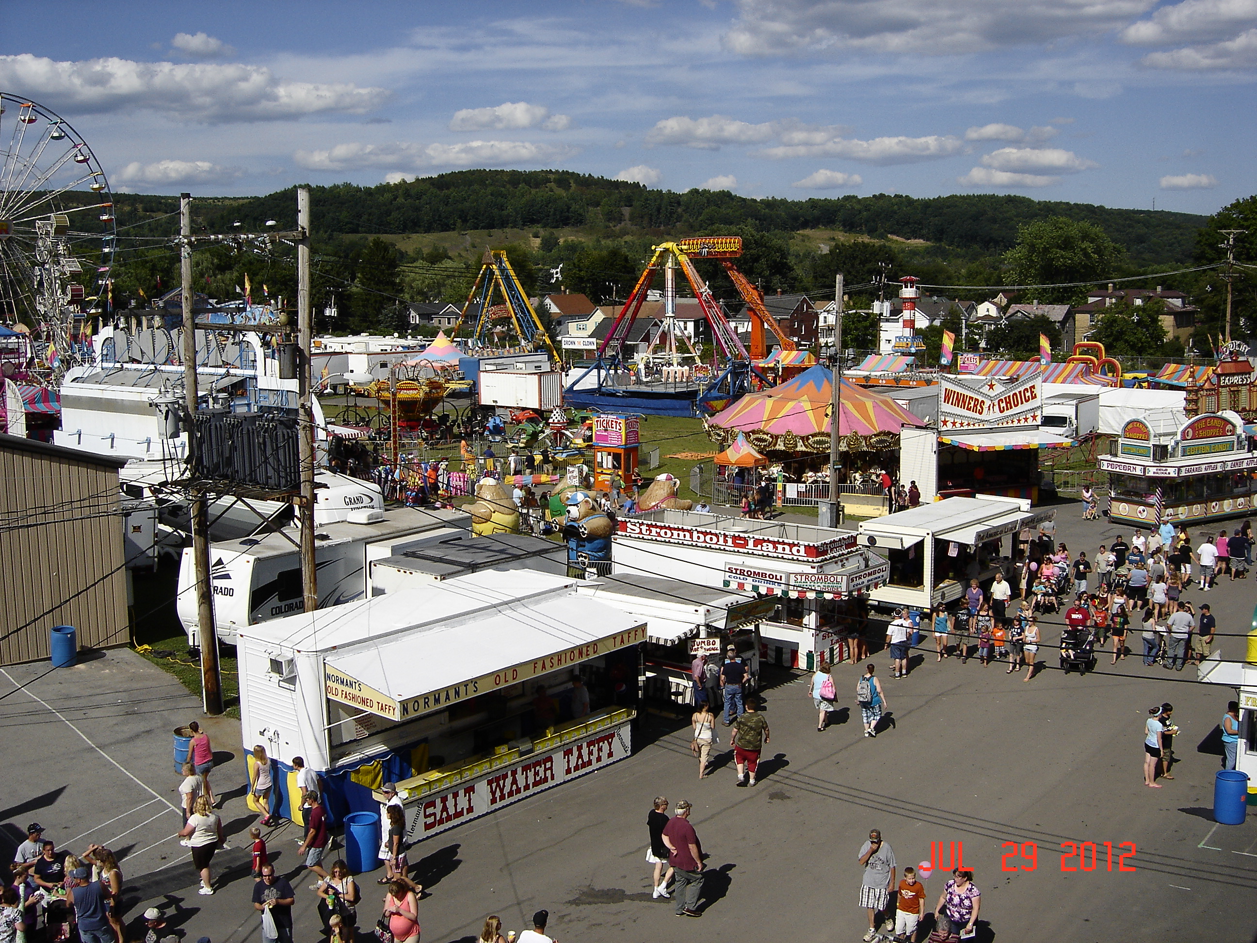
2012 Clearfield County Fair
Birds Eye View
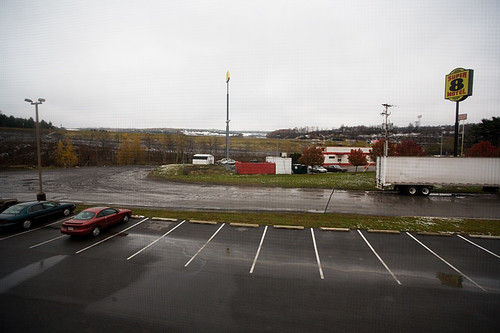
Beautiful view from our motel room
Cross-section View
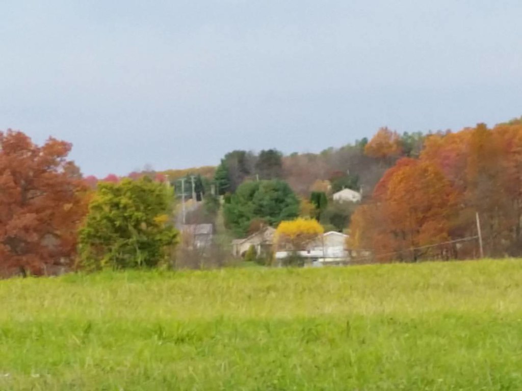
view of the farm from Hixon hill
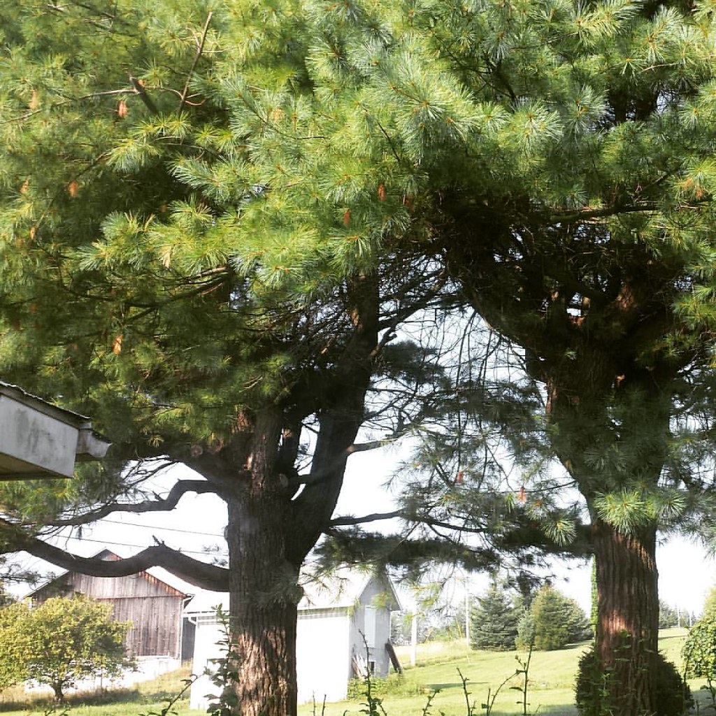
View from my bedroom
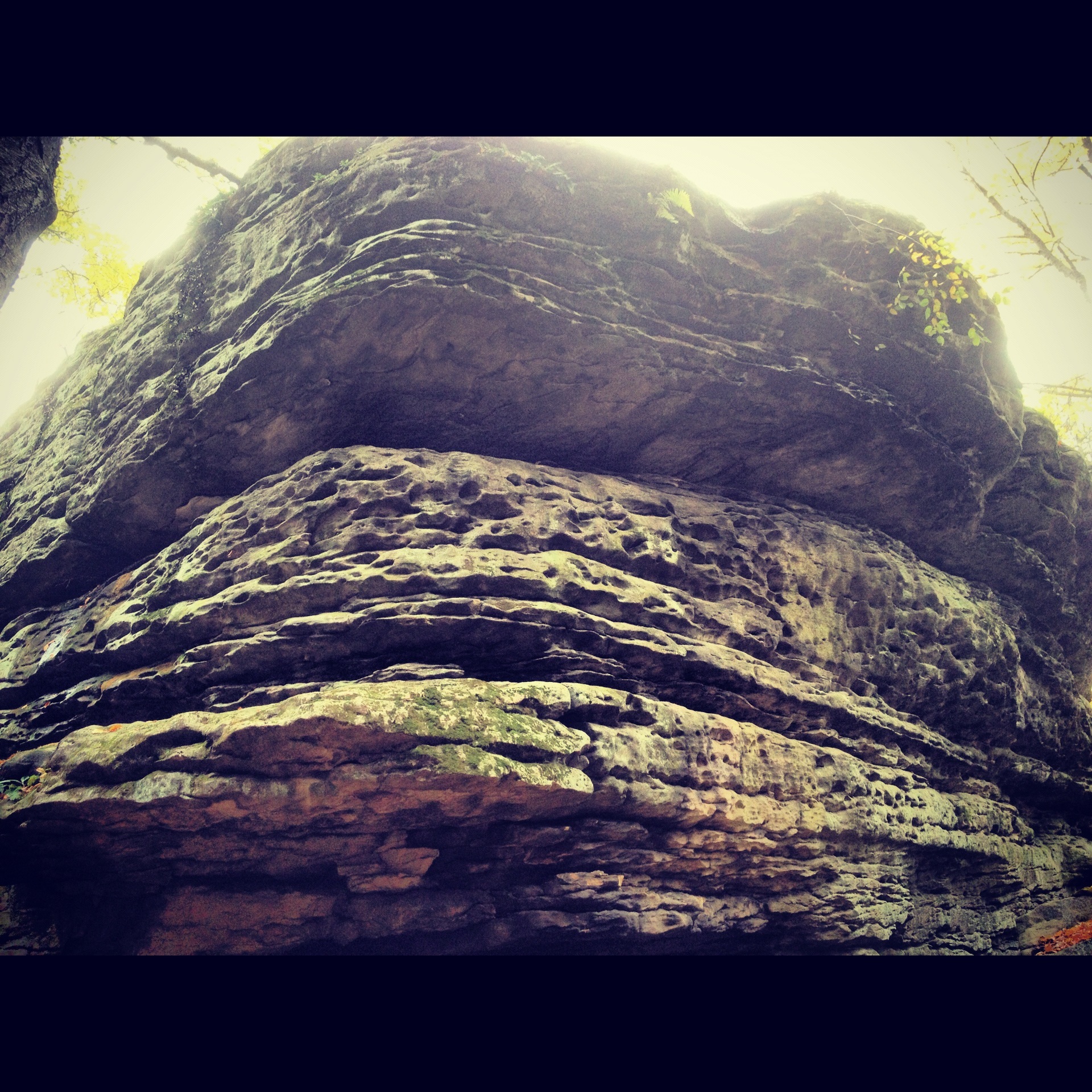
Panther Rock
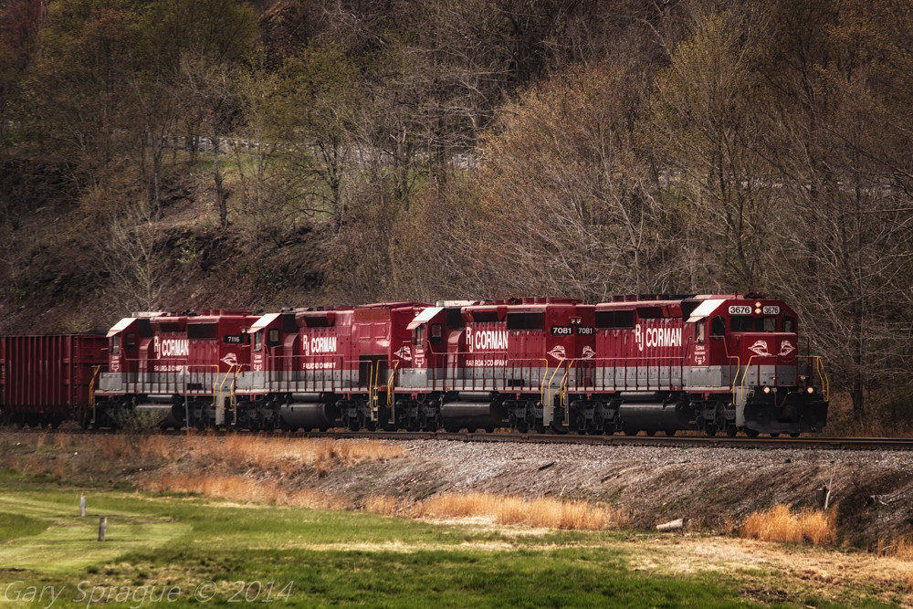
R.J. Corman Railroad
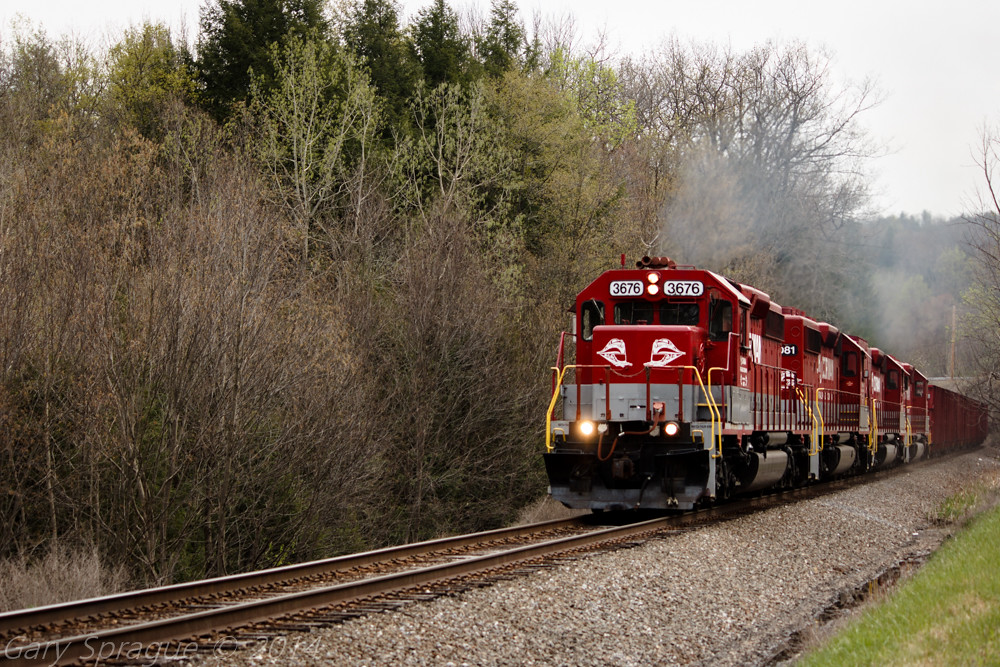
R.J. Corman Railroad
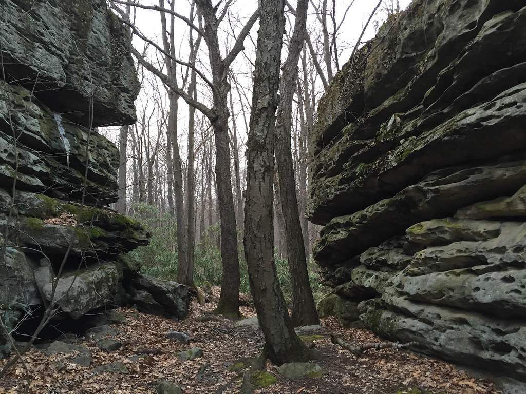
Panther Rocks
Natural Beauty
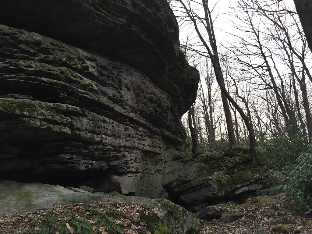
Panther Rocks
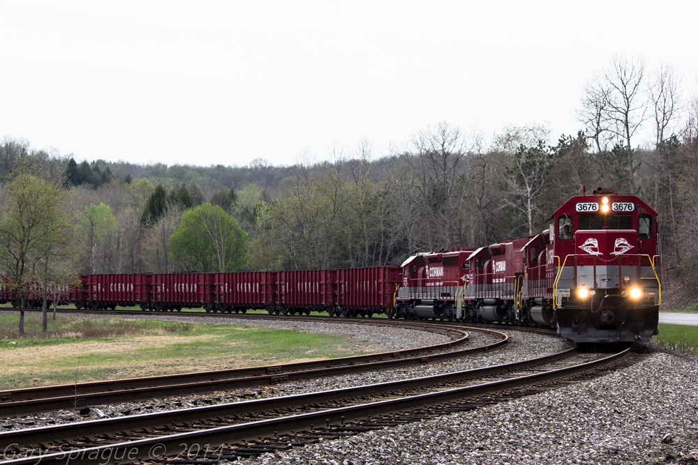
R.J. Corman Railroad
ph-10660
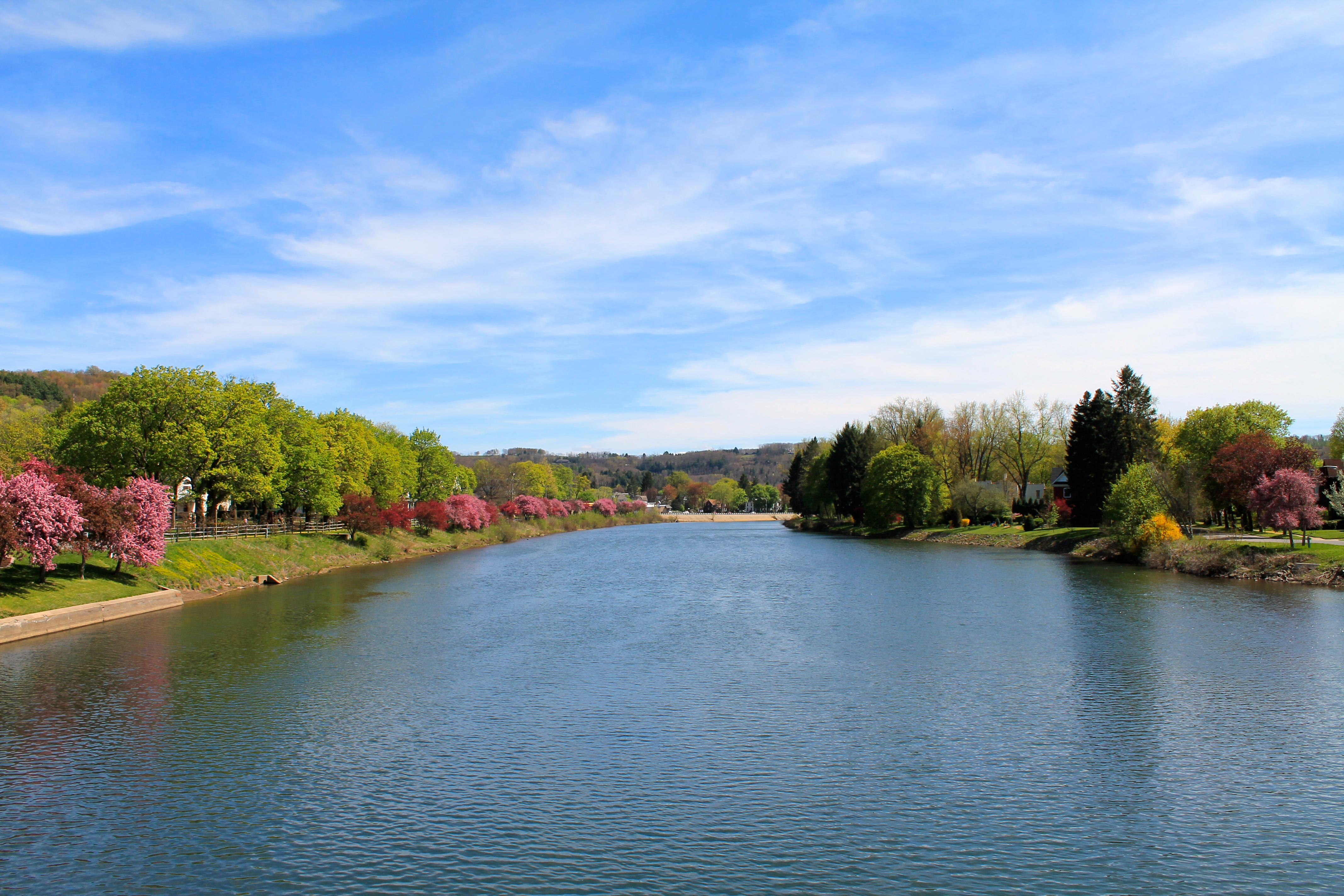
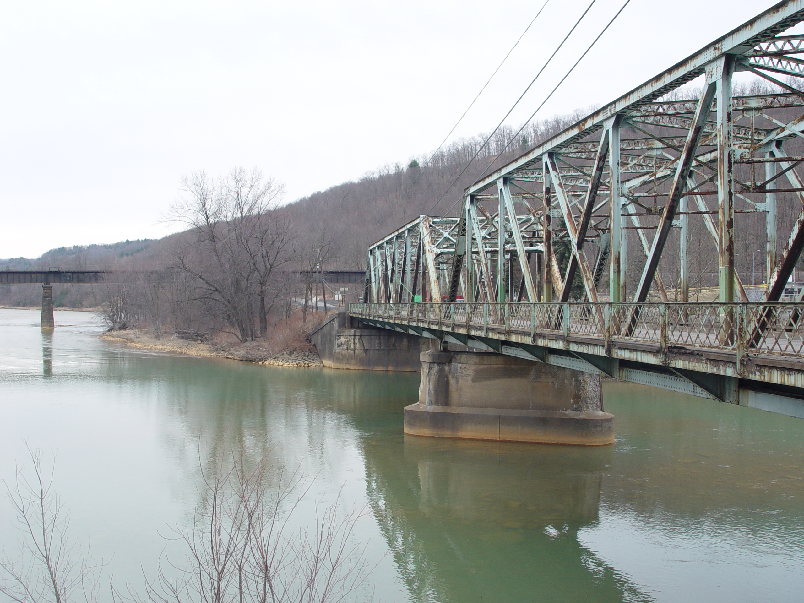
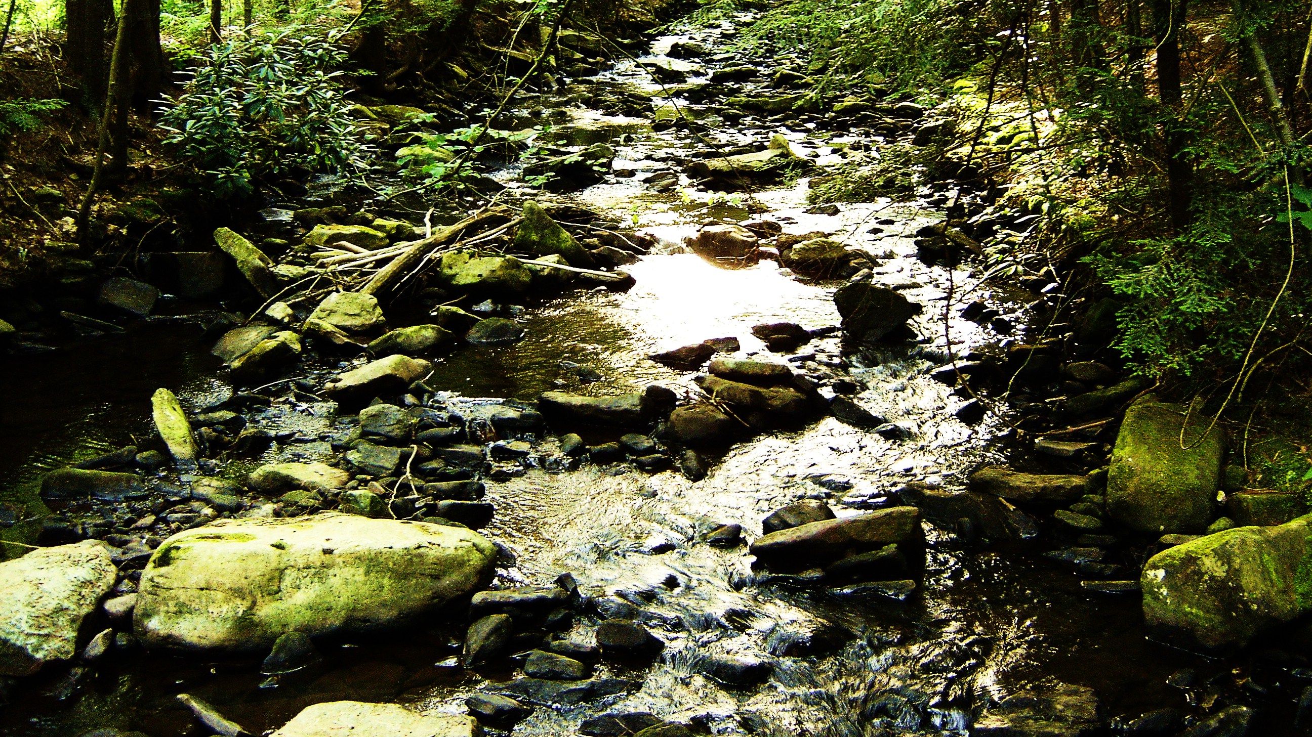
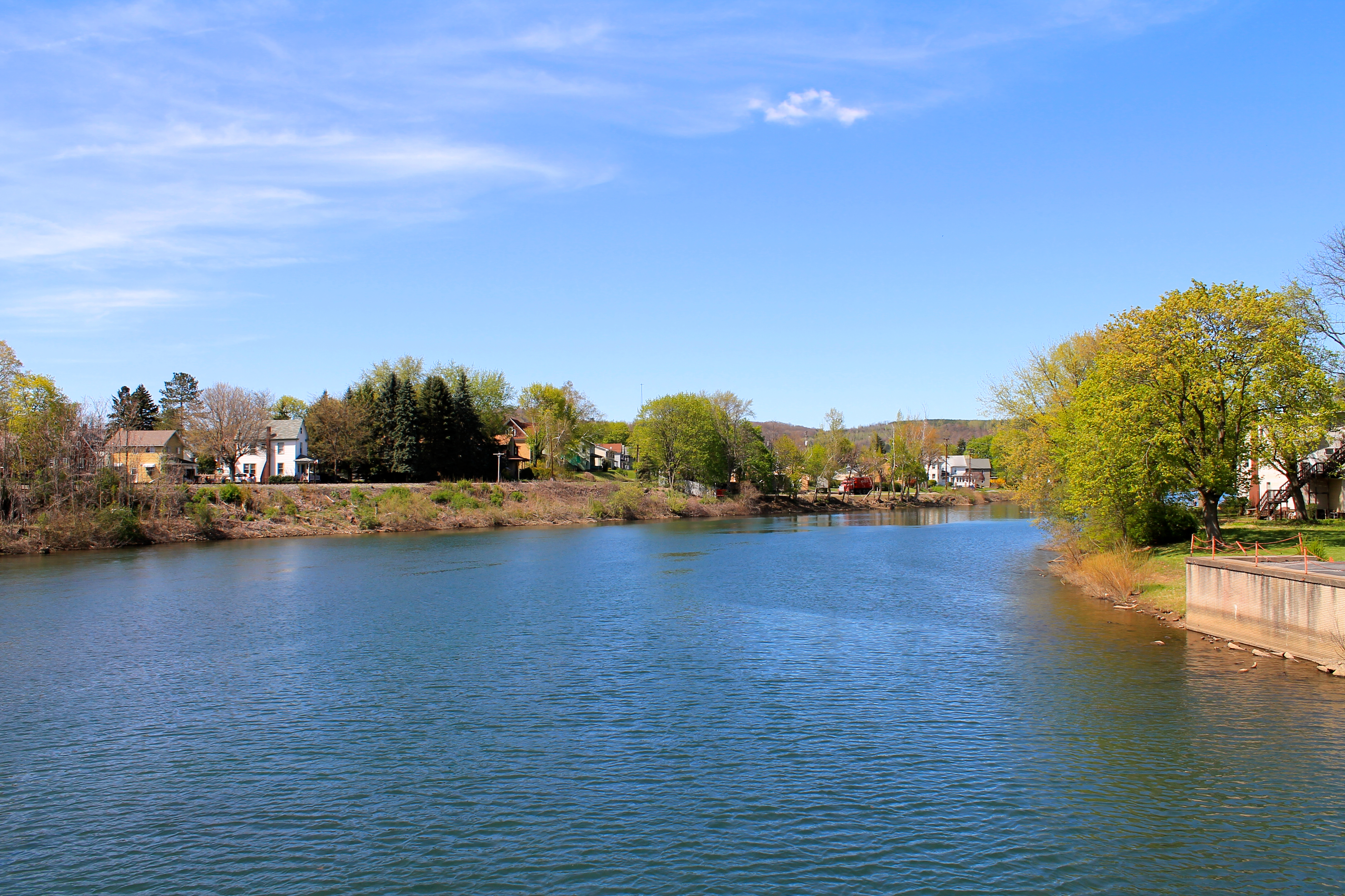
West Branch Susquehanna River, looking upstream - Clearfield, PA

DSC_7272.JPG
ph-10661
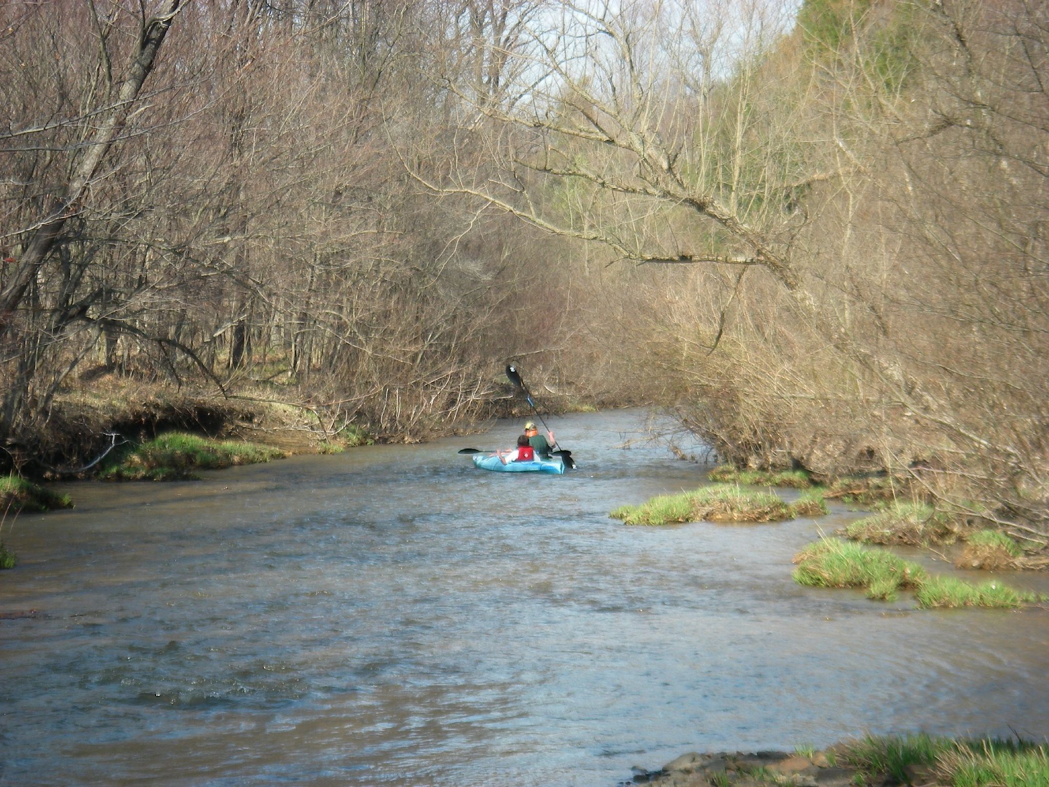
First Day of Trout Weekend 04-17-09 thru 04-19-09 038
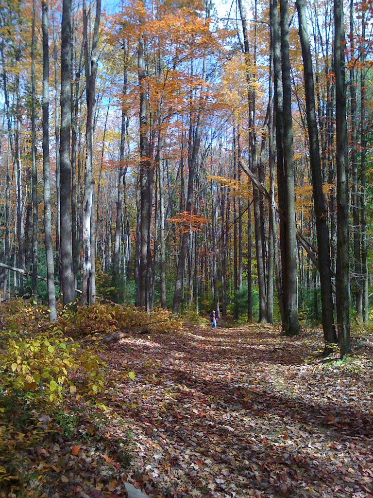
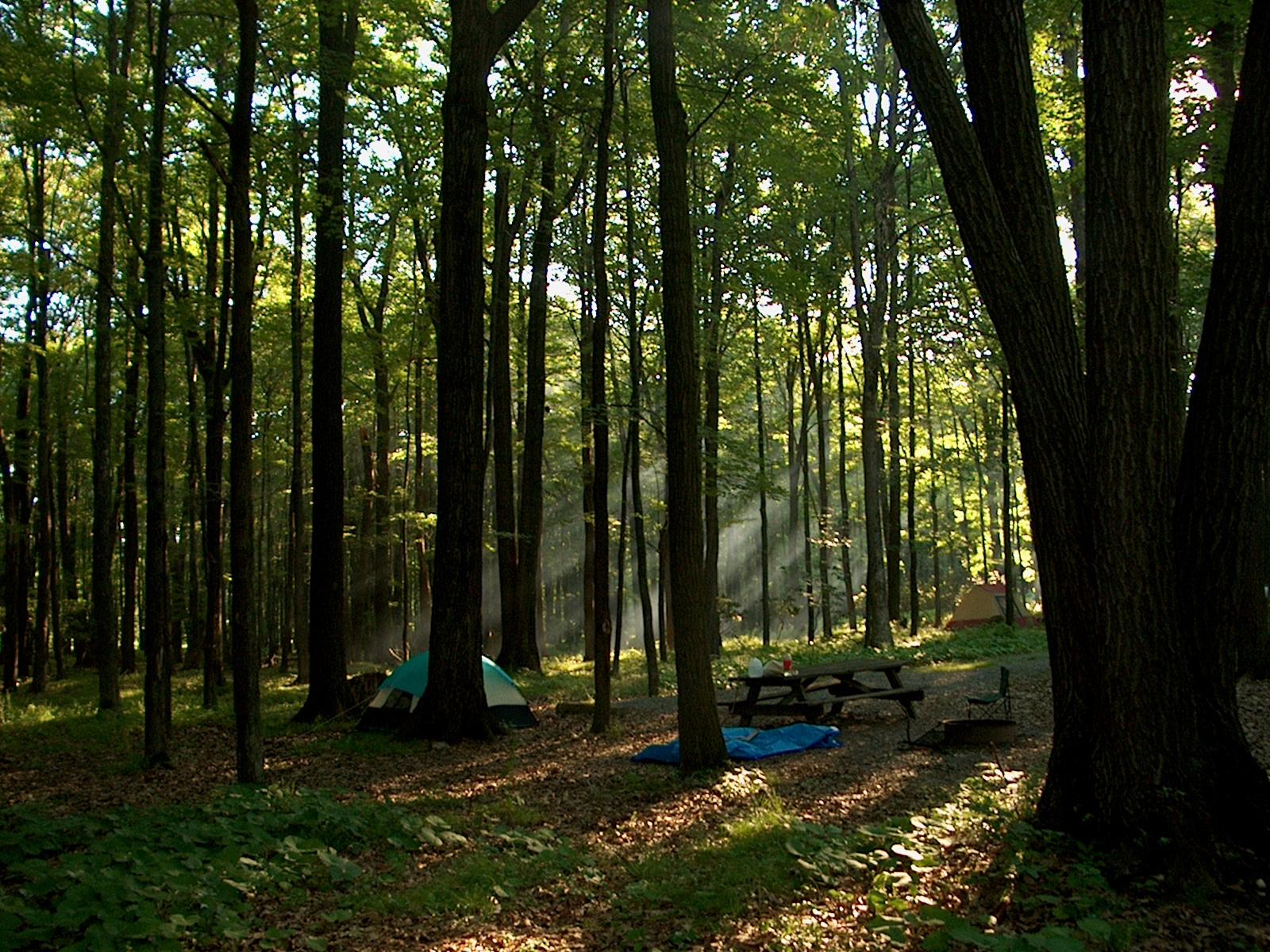
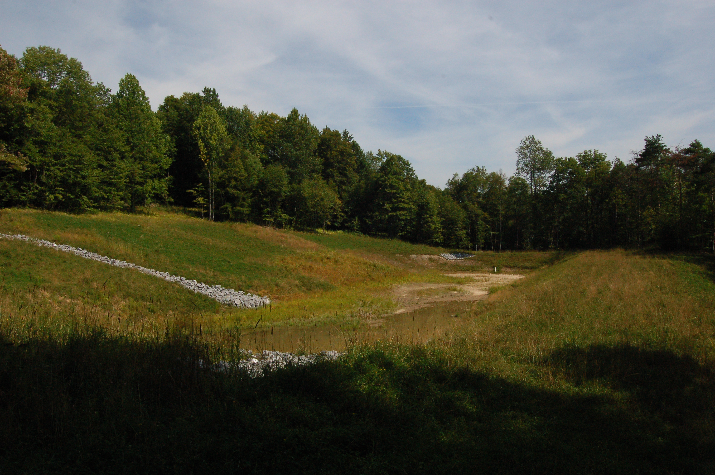
Sauder Trail at Parker Dam
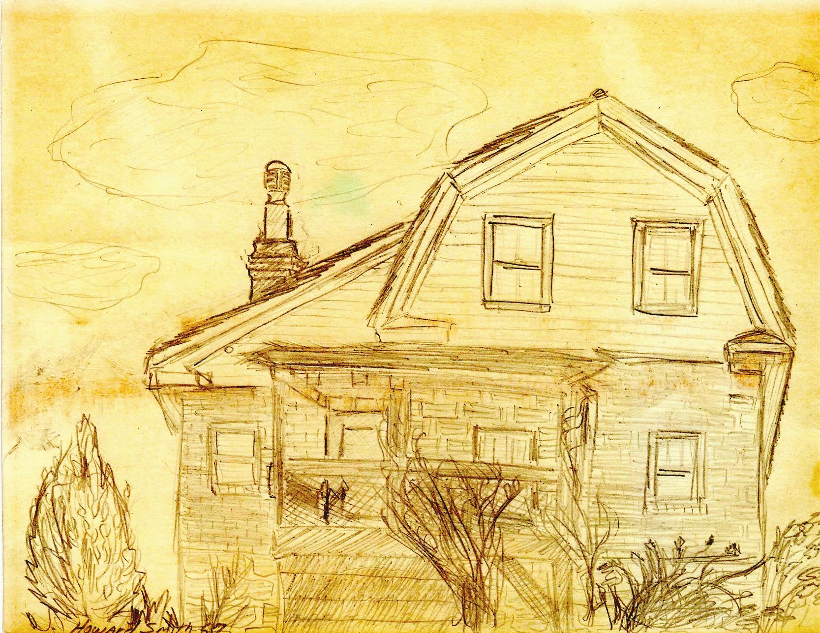
Pencil Sketch
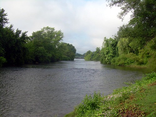
West Branch Susquehanna River, looking downstream - Clearfield, PA
Looking up the ridge by KAO
eliott-7
DSC_7315.JPG
ph-10664
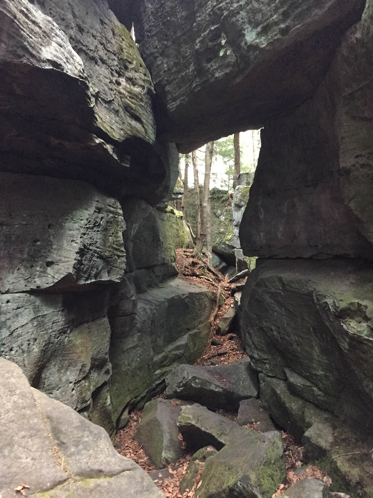
Bilger's Rocks
Topographic Map of Clearfield Curwensville Hwy, Clearfield, PA, USA
Find elevation by address:

Places near Clearfield Curwensville Hwy, Clearfield, PA, USA:
1206 Joseph Rd
209 E Walnut St
North 2nd Street
Clearfield
701 Williams St
148 Neeper Ln
Guinea Hill Rd, Clearfield, PA, USA
Mapes Avenue
Plymptonville
Thompson Rd, Clearfield, PA, USA
100 State St
Hoover Nelson Road
Curwensville
Lawrence Township
Pike Township
79 Johnston Rd
Curwensville Grampian Hwy, Curwensville, PA, USA
Pine Township
1921 Bilgers Rocks Rd
Bilgers Rocks Road
Recent Searches:
- Elevation of Estates Loop, Priest River, ID, USA
- Elevation of Woodland Oak Pl, Thousand Oaks, CA, USA
- Elevation of Brownsdale Rd, Renfrew, PA, USA
- Elevation of Corcoran Ln, Suffolk, VA, USA
- Elevation of Mamala II, Sariaya, Quezon, Philippines
- Elevation of Sarangdanda, Nepal
- Elevation of 7 Waterfall Way, Tomball, TX, USA
- Elevation of SW 57th Ave, Portland, OR, USA
- Elevation of Crocker Dr, Vacaville, CA, USA
- Elevation of Pu Ngaol Community Meeting Hall, HWHM+3X7, Krong Saen Monourom, Cambodia