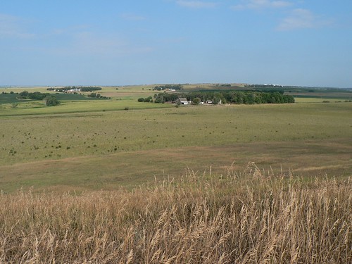
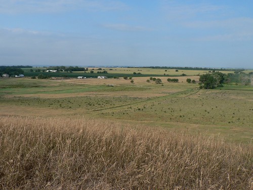
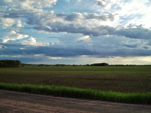
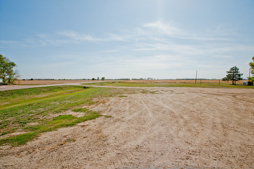
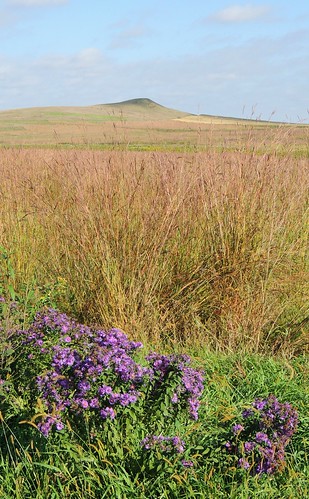
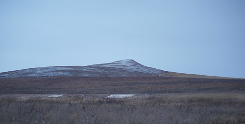
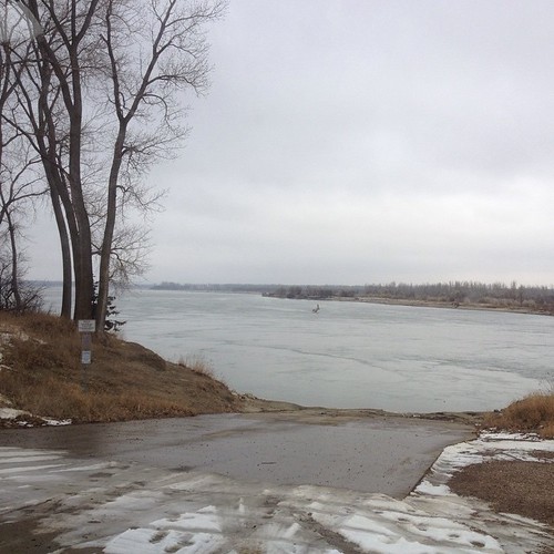
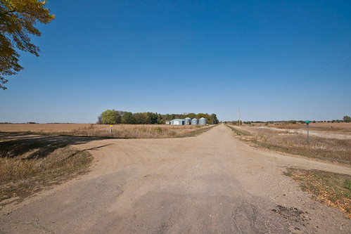
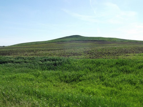
Elevation of Clay County, SD, USA
Location: United States > South Dakota >
Longitude: -97.006839
Latitude: 42.8829344
Elevation: 350m / 1148feet
Barometric Pressure: 97KPa
Related Photos:
Topographic Map of Clay County, SD, USA
Find elevation by address:

Places in Clay County, SD, USA:
Places near Clay County, SD, USA:
Brunick Service
University Of South Dakota
Vermillion
E Main St, Vermillion, SD, USA
Prairie Center Township
Greenfield Rd, Burbank, SD, USA
Broadway St, Centerville, SD, USA
Centerville
Centerville Township
Spink Township
Union County
Beresford
Lincoln County
211 E Jefferson St
110 Cedar Ct
104 Spruce Ct
Elk Point
608 E Washington St
402 Ofstad St
Alcester
Recent Searches:
- Elevation of Corso Fratelli Cairoli, 35, Macerata MC, Italy
- Elevation of Tallevast Rd, Sarasota, FL, USA
- Elevation of 4th St E, Sonoma, CA, USA
- Elevation of Black Hollow Rd, Pennsdale, PA, USA
- Elevation of Oakland Ave, Williamsport, PA, USA
- Elevation of Pedrógão Grande, Portugal
- Elevation of Klee Dr, Martinsburg, WV, USA
- Elevation of Via Roma, Pieranica CR, Italy
- Elevation of Tavkvetili Mountain, Georgia
- Elevation of Hartfords Bluff Cir, Mt Pleasant, SC, USA
