Elevation of Clay County, MS, USA
Location: United States > Mississippi >
Longitude: -88.826300
Latitude: 33.6567838
Elevation: 76m / 249feet
Barometric Pressure: 100KPa
Elevation Map:
Satellite Map:
Related Photos:
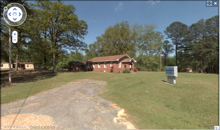
Lawson Chapel
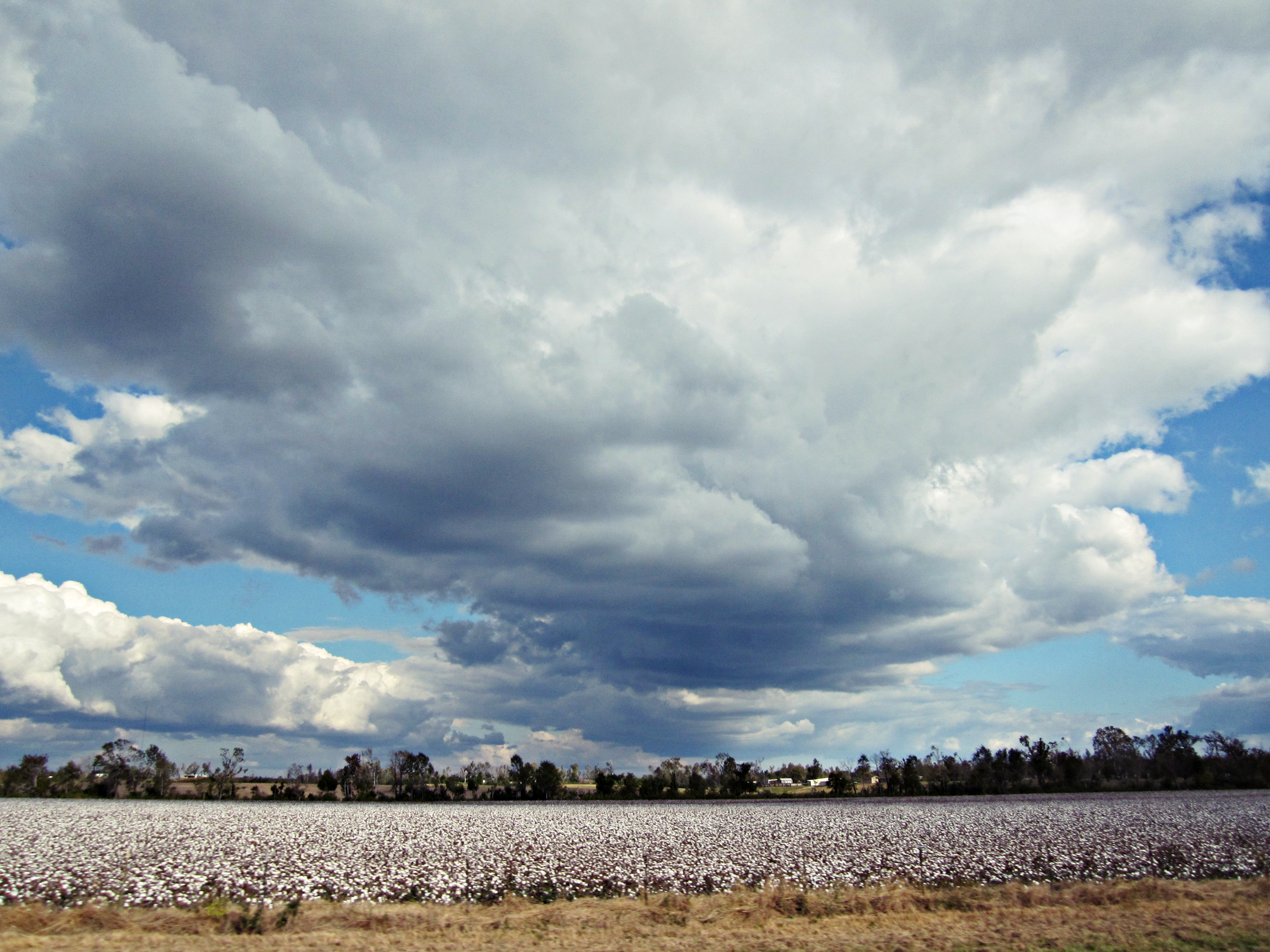
Mississippi Cotton Field

Unknown dragonfly
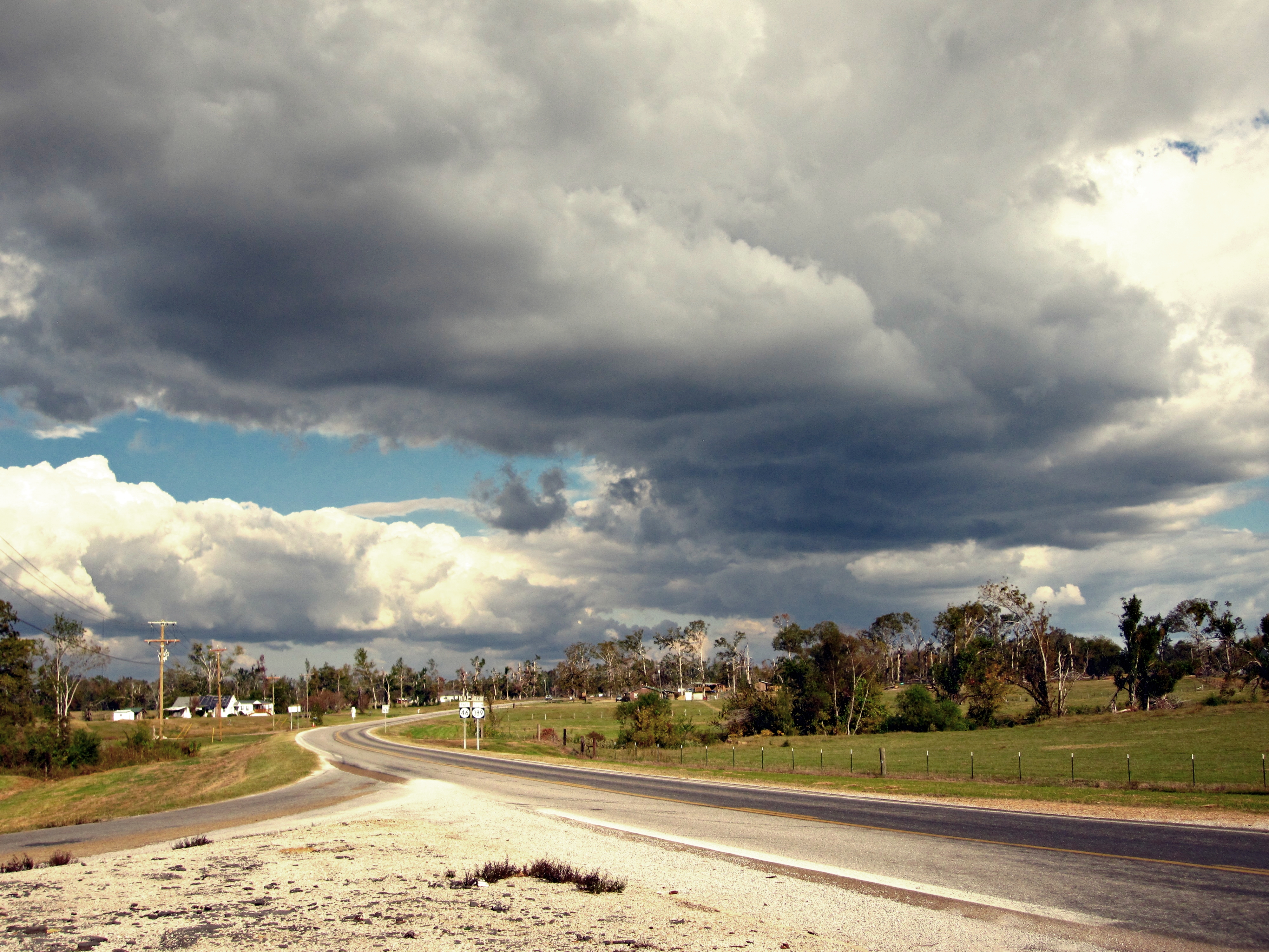
Clouds over Montpelier
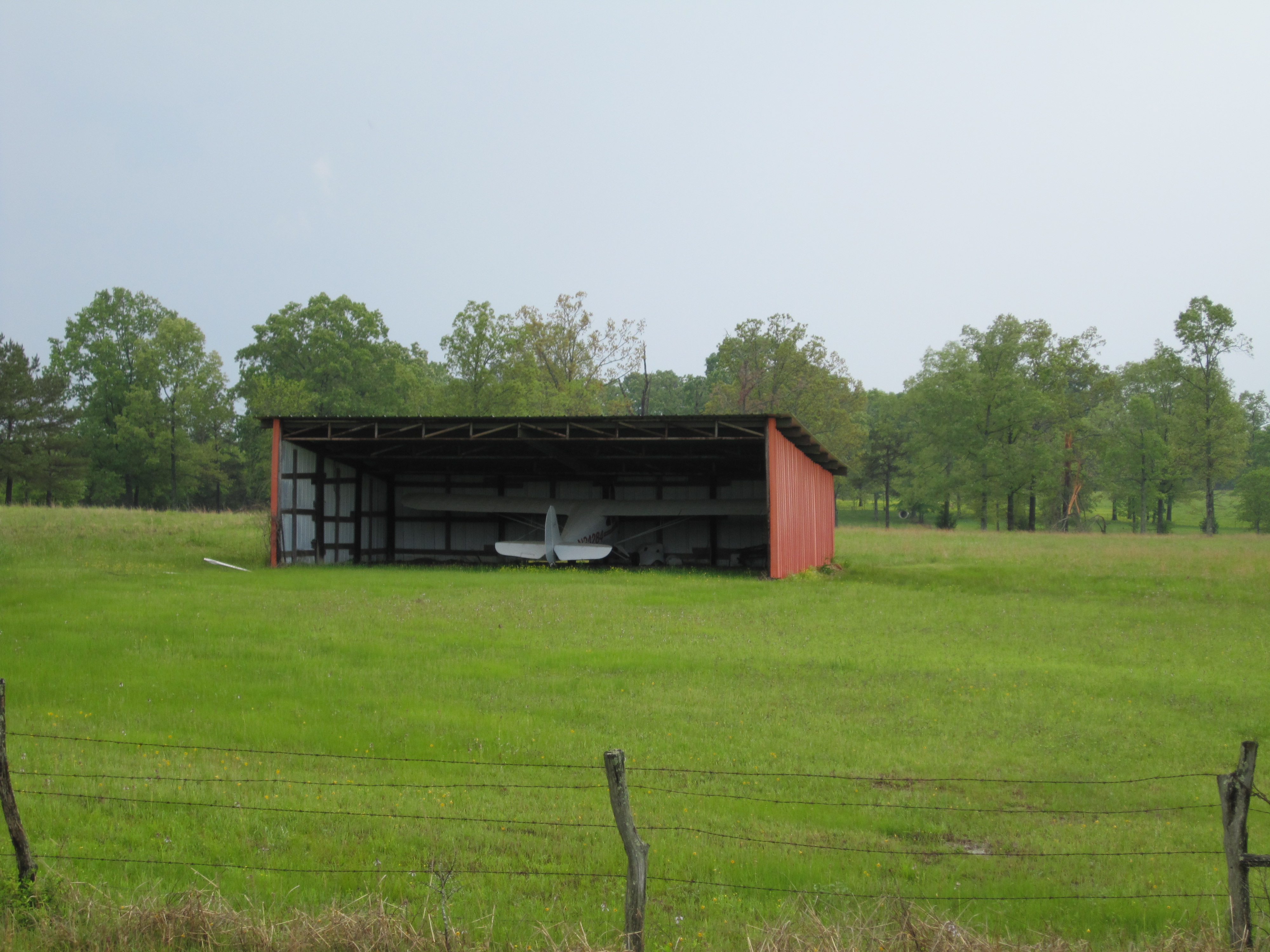
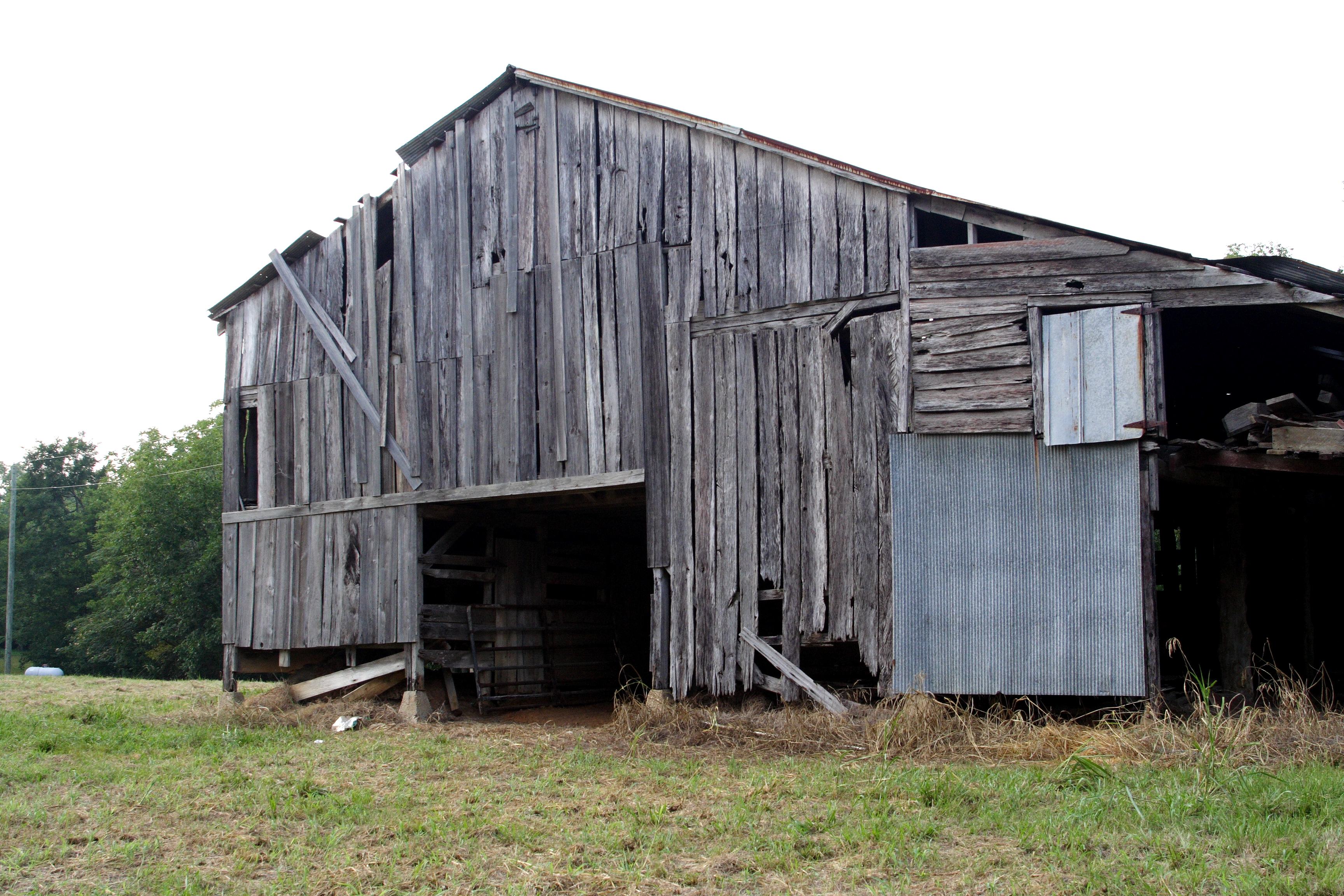
Quaint Hangar

Common Whitetail
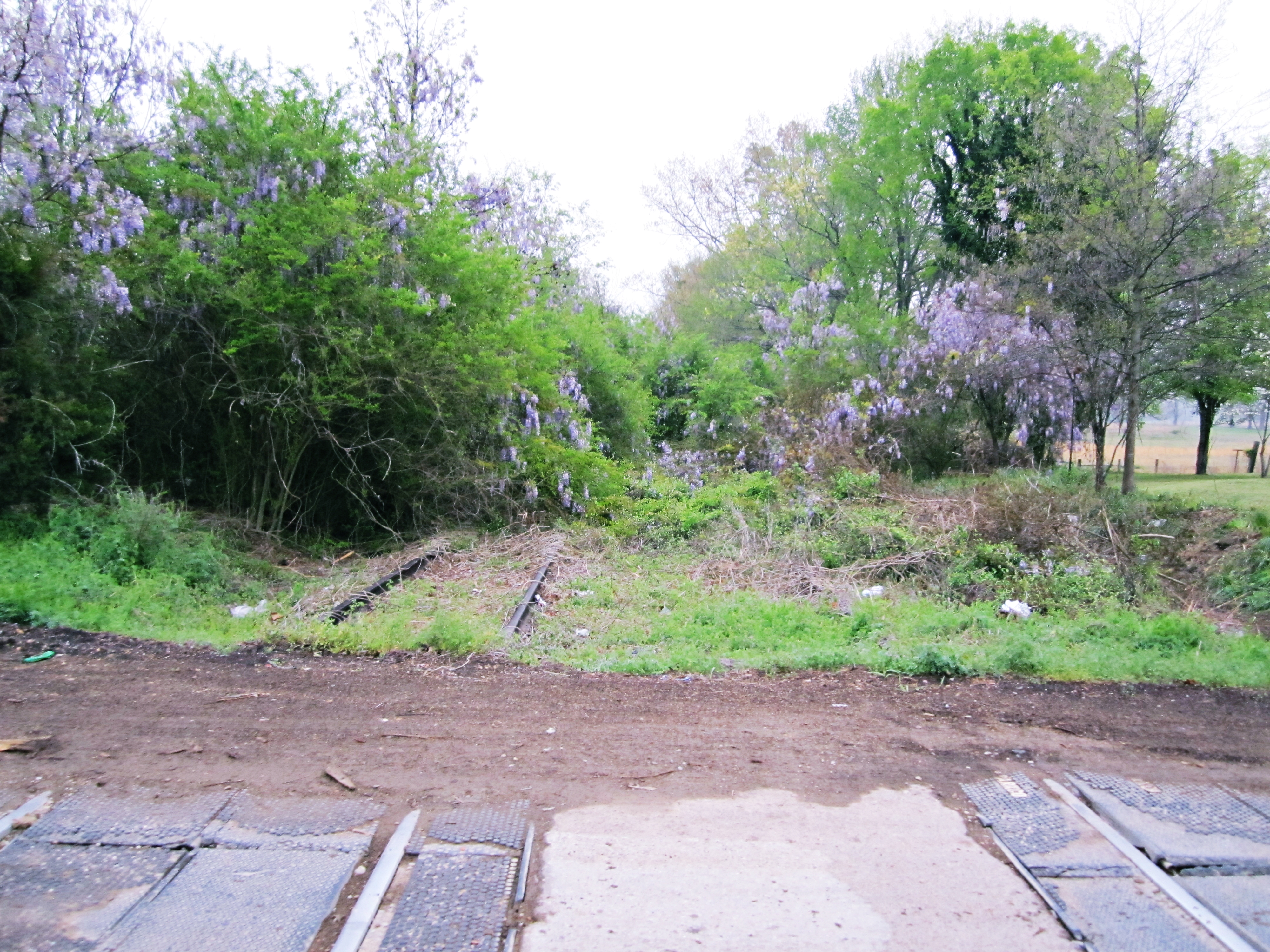
Overgrown CAGY @ Pheba, MS

Rocky Roll

A Pirate's Life for Me

End of Summer
08042007-181738

"Time to eat"
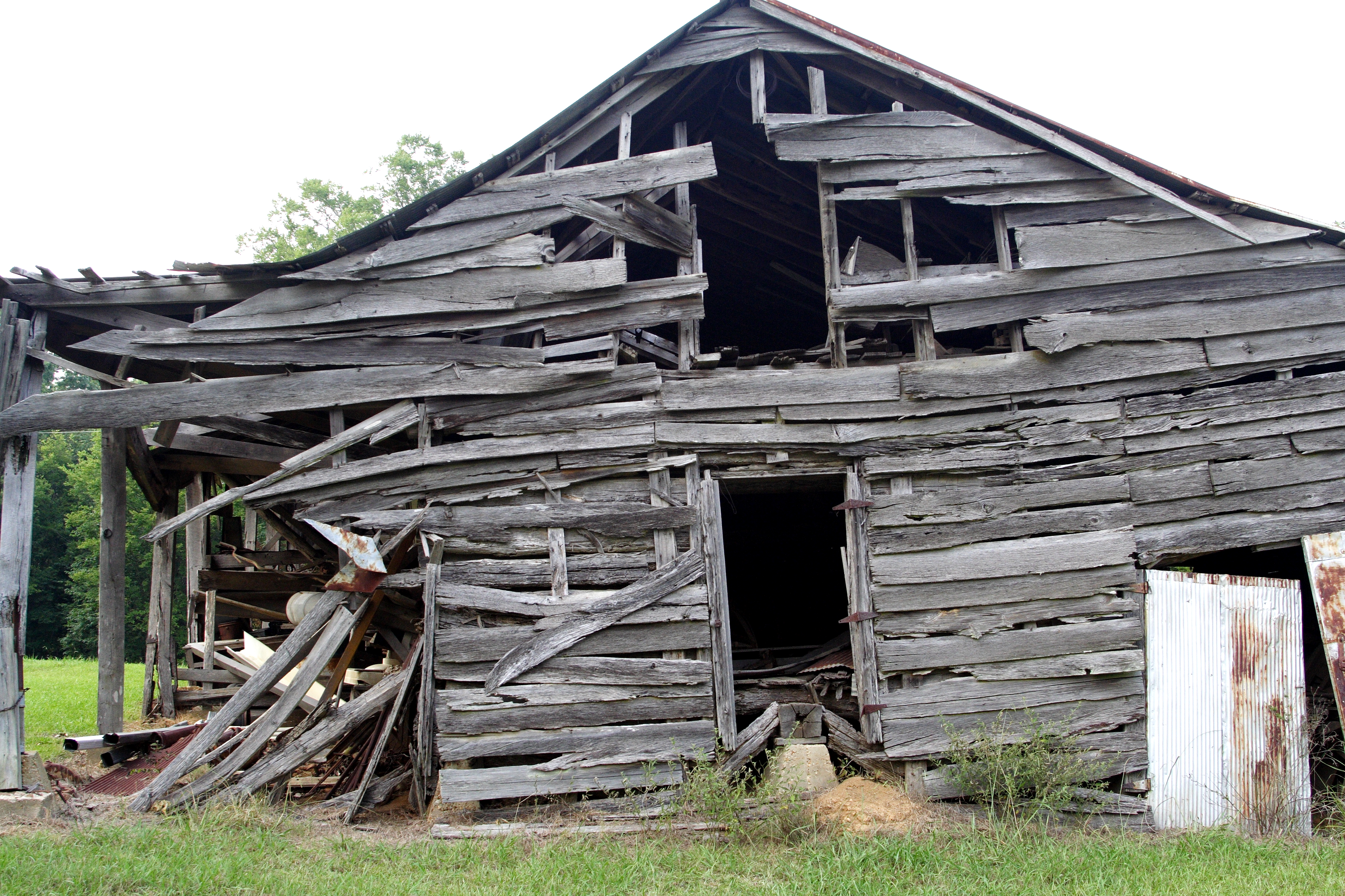
Fading Away

Ice Cold
Topographic Map of Clay County, MS, USA
Find elevation by address:

Places in Clay County, MS, USA:
Places near Clay County, MS, USA:
Cedarbluff
Mhoon Valley Rd, West Point, MS, USA
Hodnett Rd, Cedarbluff, MS, USA
Pheba-Beasley Rd, Pheba, MS, USA
Sun Creek Rd, Starkville, MS, USA
Wade Rd, Starkville, MS, USA
Pheba
3536 Colony Rd
Rockhill Rd, Starkville, MS, USA
Copperfield Ct, Starkville, MS, USA
132 Cherokee Dr
208 Apache Dr
Pat Station Rd, Starkville, MS, USA
Starkville, MS, USA
211 Edgewood Dr
West Point
Northside Dr, Starkville, MS, USA
110 W Main St
300 E Lampkin St
Lummus Drive
Recent Searches:
- Elevation of Corso Fratelli Cairoli, 35, Macerata MC, Italy
- Elevation of Tallevast Rd, Sarasota, FL, USA
- Elevation of 4th St E, Sonoma, CA, USA
- Elevation of Black Hollow Rd, Pennsdale, PA, USA
- Elevation of Oakland Ave, Williamsport, PA, USA
- Elevation of Pedrógão Grande, Portugal
- Elevation of Klee Dr, Martinsburg, WV, USA
- Elevation of Via Roma, Pieranica CR, Italy
- Elevation of Tavkvetili Mountain, Georgia
- Elevation of Hartfords Bluff Cir, Mt Pleasant, SC, USA