Elevation of Brand-Una Rd, Prairie, MS, USA
Location: United States > Mississippi > Clay County >
Longitude: -88.811541
Latitude: 33.8001717
Elevation: 88m / 289feet
Barometric Pressure: 100KPa
Elevation Map:
Satellite Map:
Related Photos:
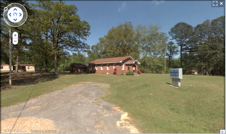
Lawson Chapel
upload
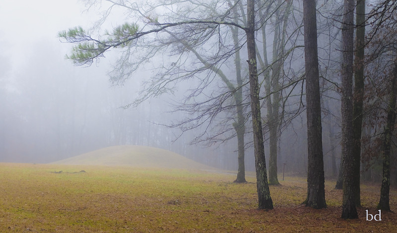
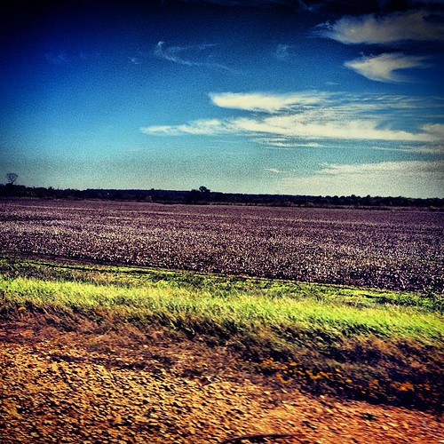
Natchez Trace Bynum Mounds
Natchez Trace Parkway

Sgt Simon Allis Baird 24th MS Inf
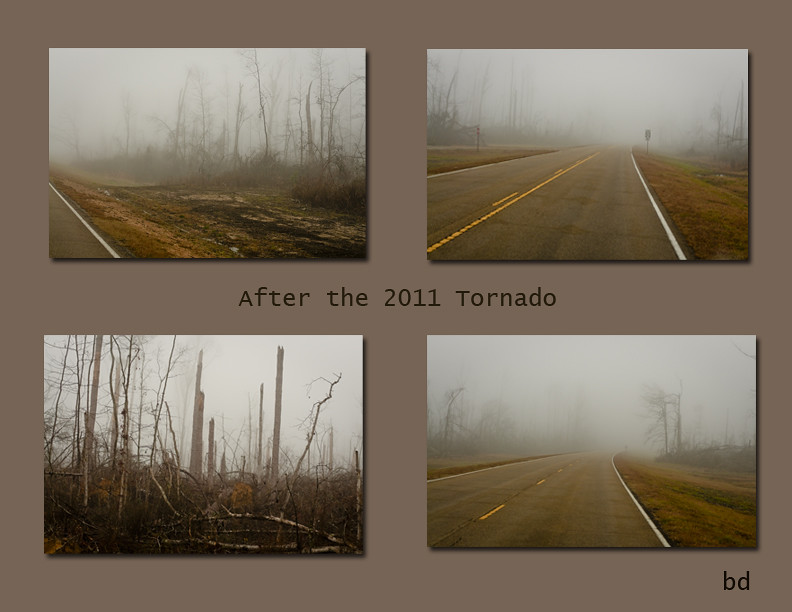
Natchez Trace Section After the 2011 Tornado
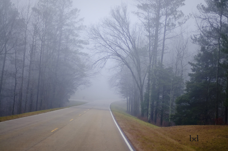
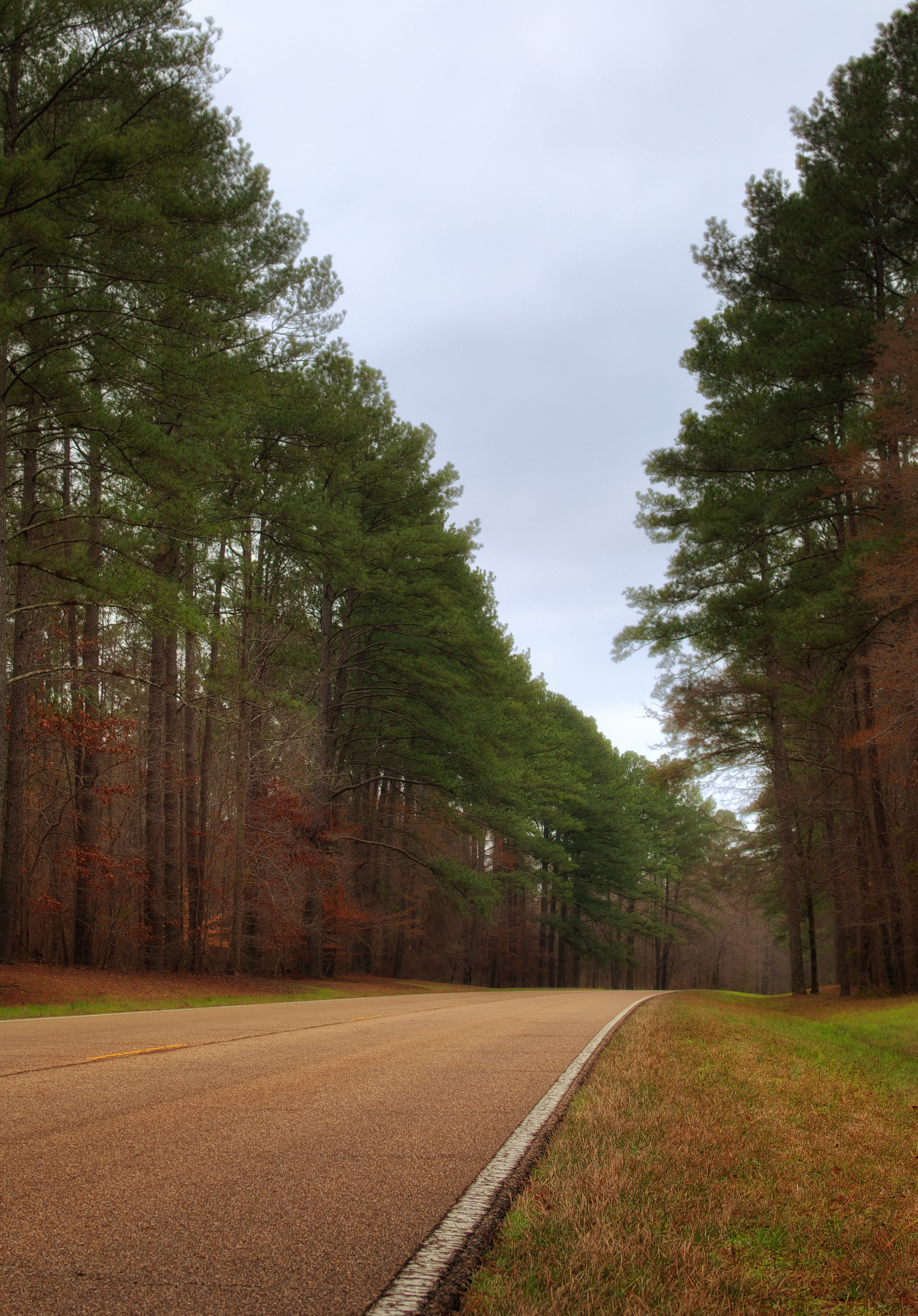
Natchez Trace Road
Topographic Map of Brand-Una Rd, Prairie, MS, USA
Find elevation by address:

Places near Brand-Una Rd, Prairie, MS, USA:
106 Co Rd 170
Aberdeen Rd, Houston, MS, USA
Co Rd, Woodland, MS, USA
Natchez Trace Parkway
Houston
Chickasaw County
Woodland
MS-8, Houston, MS, USA
Old Wren Rd, Aberdeen, MS, USA
Okolona Rd, Nettleton, MS, USA
3016 Ms-15
New Houlka
Shannon
1426 North St
Nettleton
4092 Toxish Rd
Redland Sarepta Rd, New Houlka, MS, USA
Co Rd, Shannon, MS, USA
Pontocola Rd, Pontotoc, MS, USA
525 Co Rd 409
Recent Searches:
- Elevation of Corso Fratelli Cairoli, 35, Macerata MC, Italy
- Elevation of Tallevast Rd, Sarasota, FL, USA
- Elevation of 4th St E, Sonoma, CA, USA
- Elevation of Black Hollow Rd, Pennsdale, PA, USA
- Elevation of Oakland Ave, Williamsport, PA, USA
- Elevation of Pedrógão Grande, Portugal
- Elevation of Klee Dr, Martinsburg, WV, USA
- Elevation of Via Roma, Pieranica CR, Italy
- Elevation of Tavkvetili Mountain, Georgia
- Elevation of Hartfords Bluff Cir, Mt Pleasant, SC, USA