Elevation of Circle Brook Dr, Cave Spring, VA, USA
Location: United States > Virginia > Roanoke County > Windsor Hills > Cave Spring >
Longitude: -79.984685
Latitude: 37.2337012
Elevation: 329m / 1079feet
Barometric Pressure: 97KPa
Elevation Map:
Satellite Map:
Related Photos:

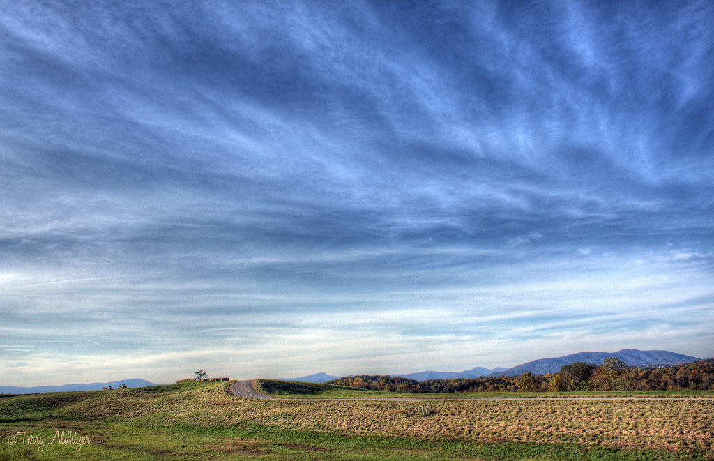
Urban Still Life--Roanoke
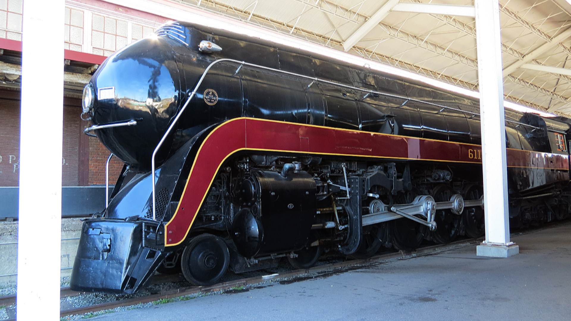
Norfolk And Western 611 Steam train

Testing Nikon Coolpix AW100

051/366
Route 11

Day 25 -- another snow day!!

This is (not) an American Apparel Advertisement

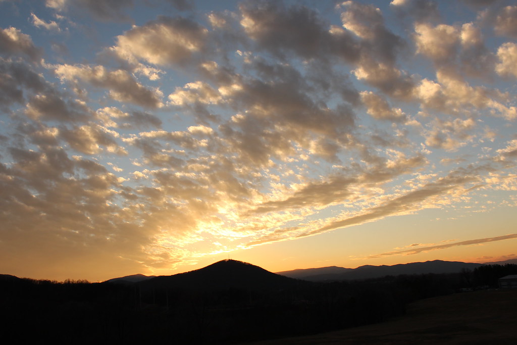
A View of Twelve O'Clock Knob from West Hill Cemetery, February 8, 2017.

2-ChristmasTree
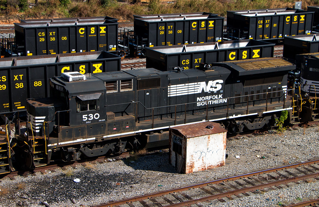
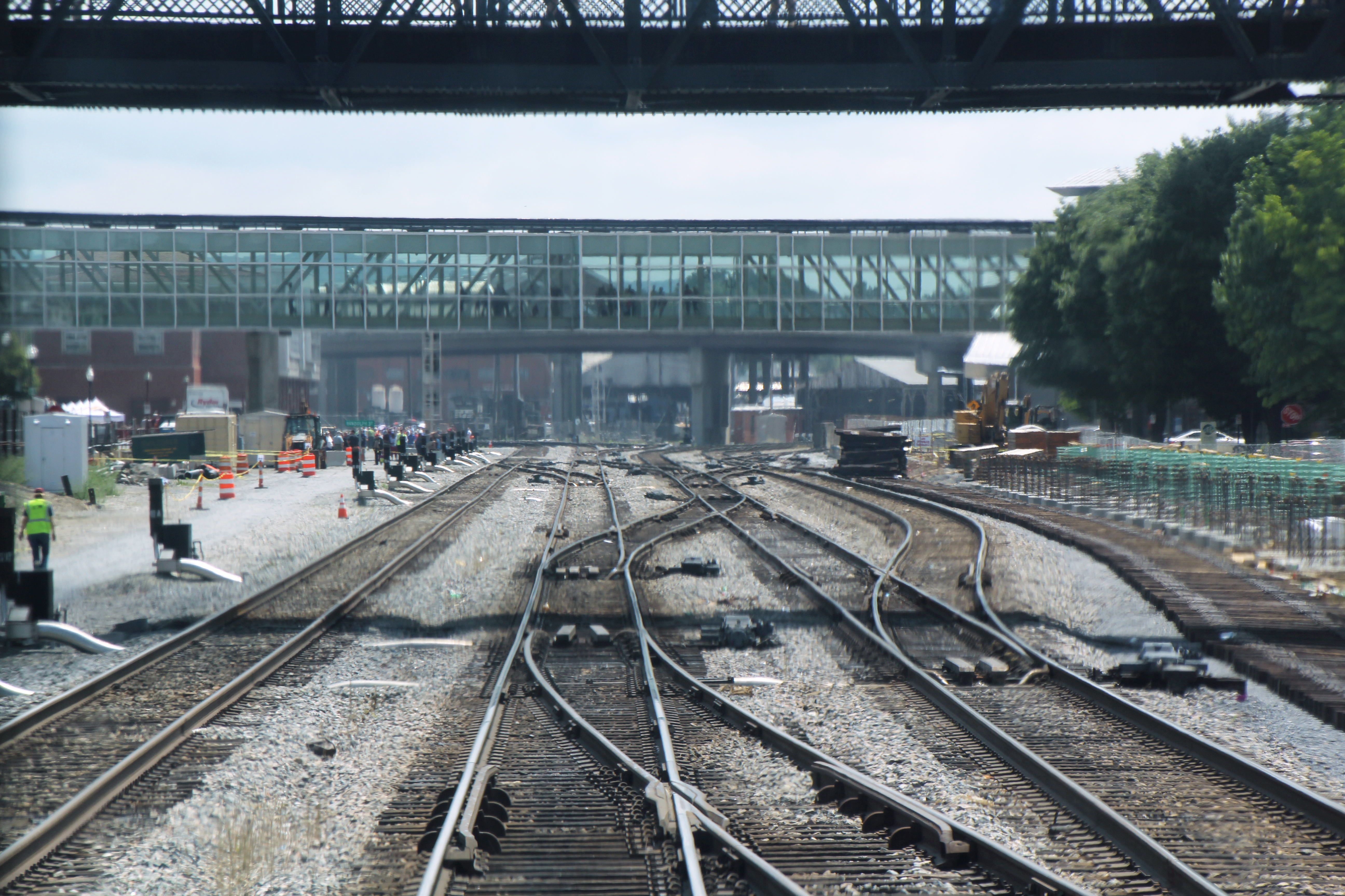
NS 530, Roanoke

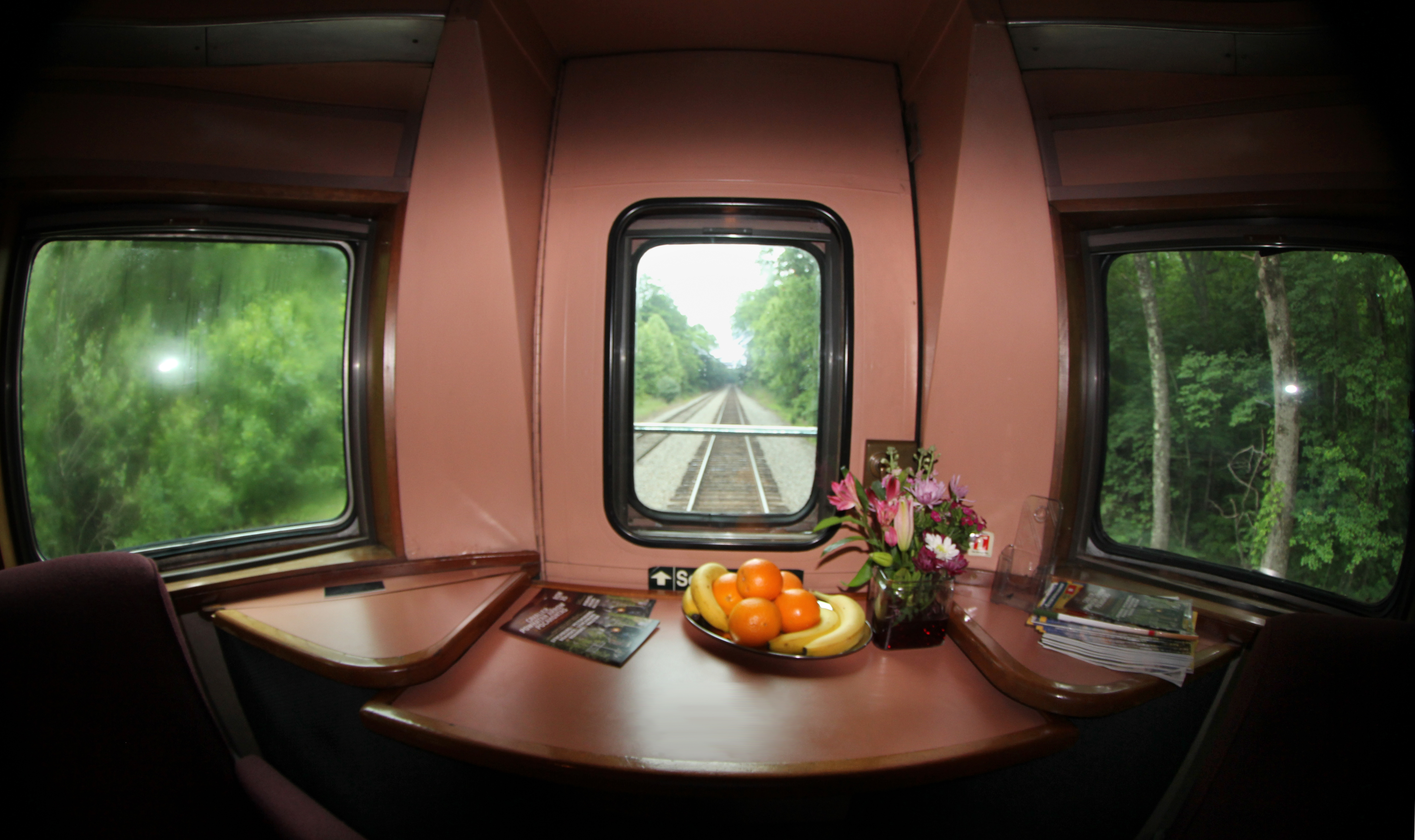
Day 13- Interior
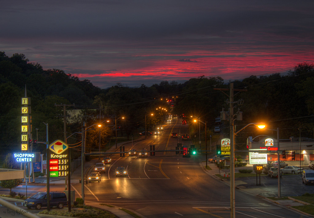
Towers Twilight [Explored!]

197 & 1776

View from Colorado's La Plata Peak. We're not quite to the summit when this image was taken
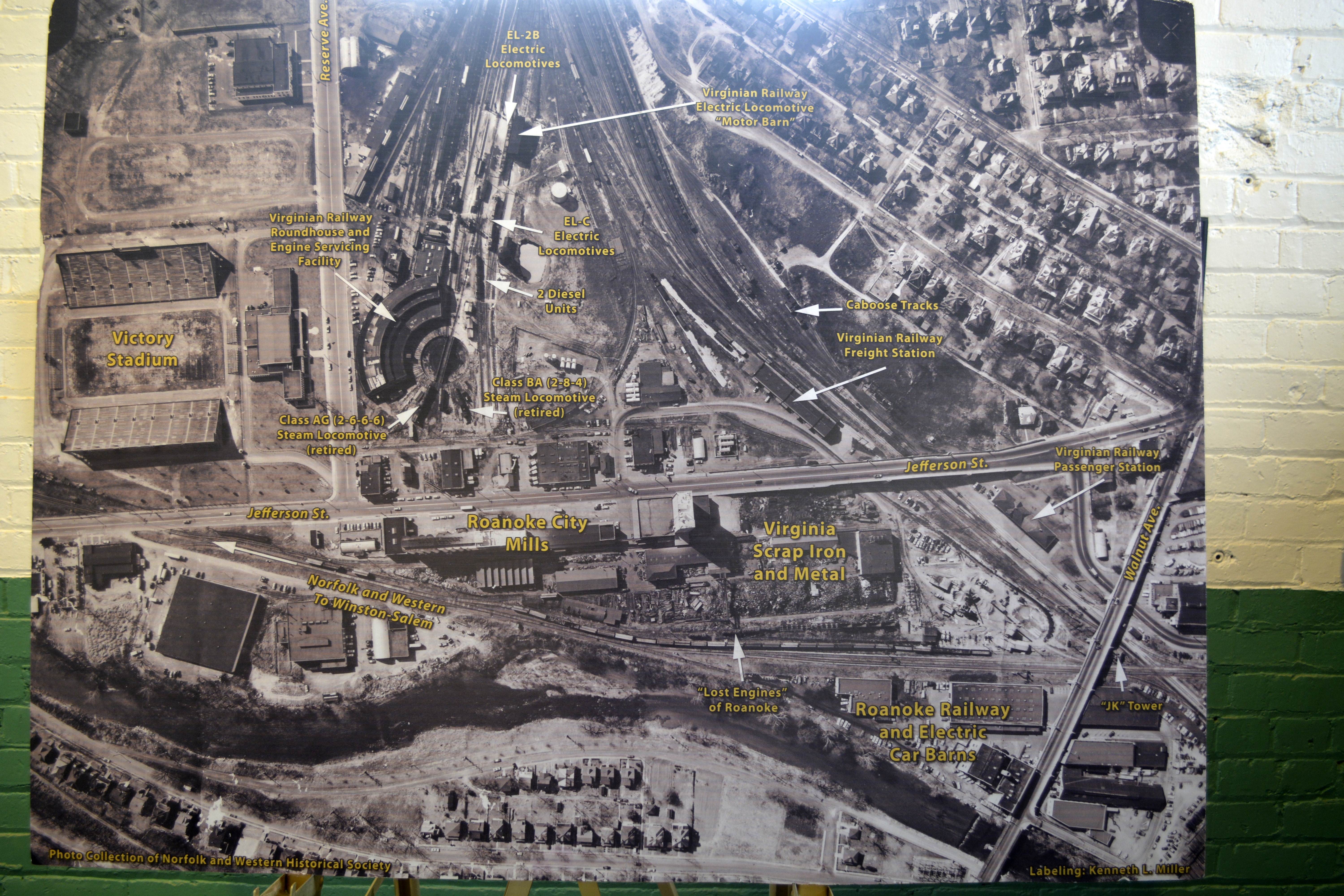
Virginian Rly artifacts [7 of 8]
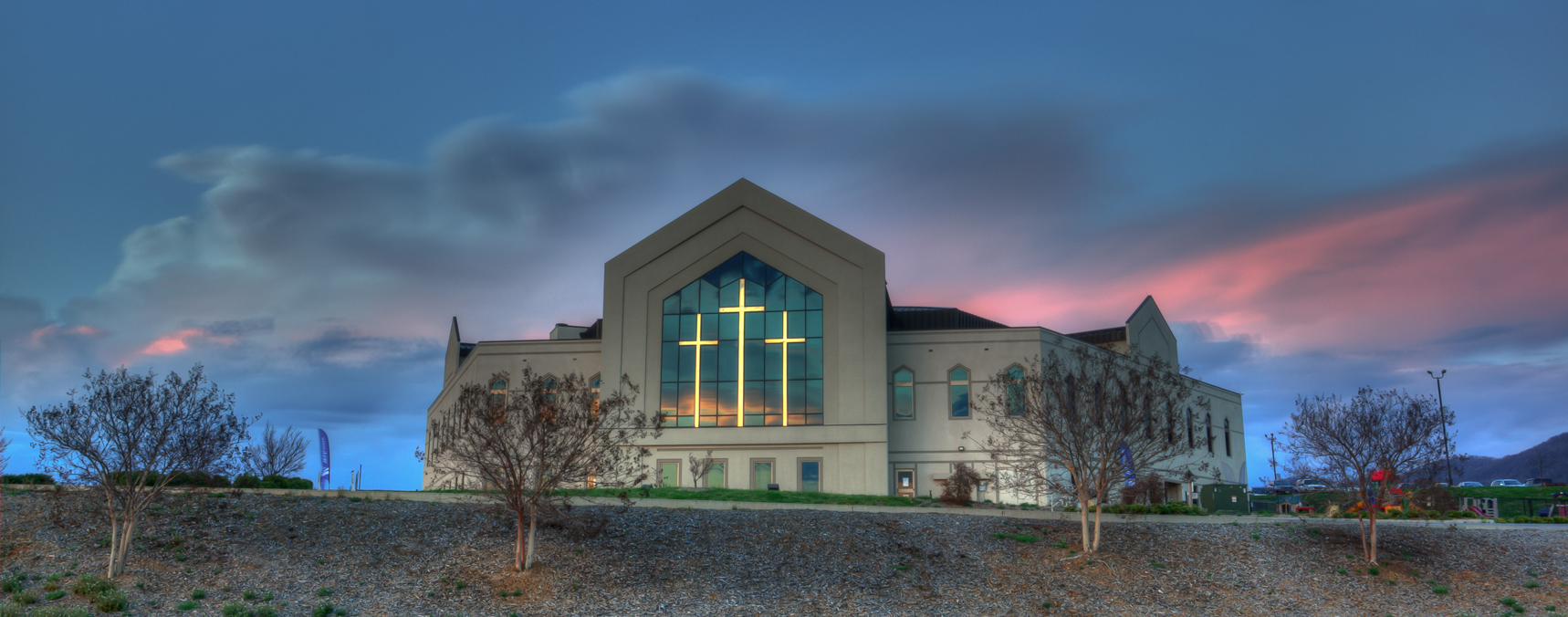
Parkway Wesleyan Church
Day 4 Sunset
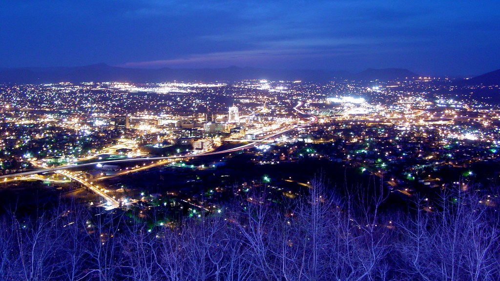
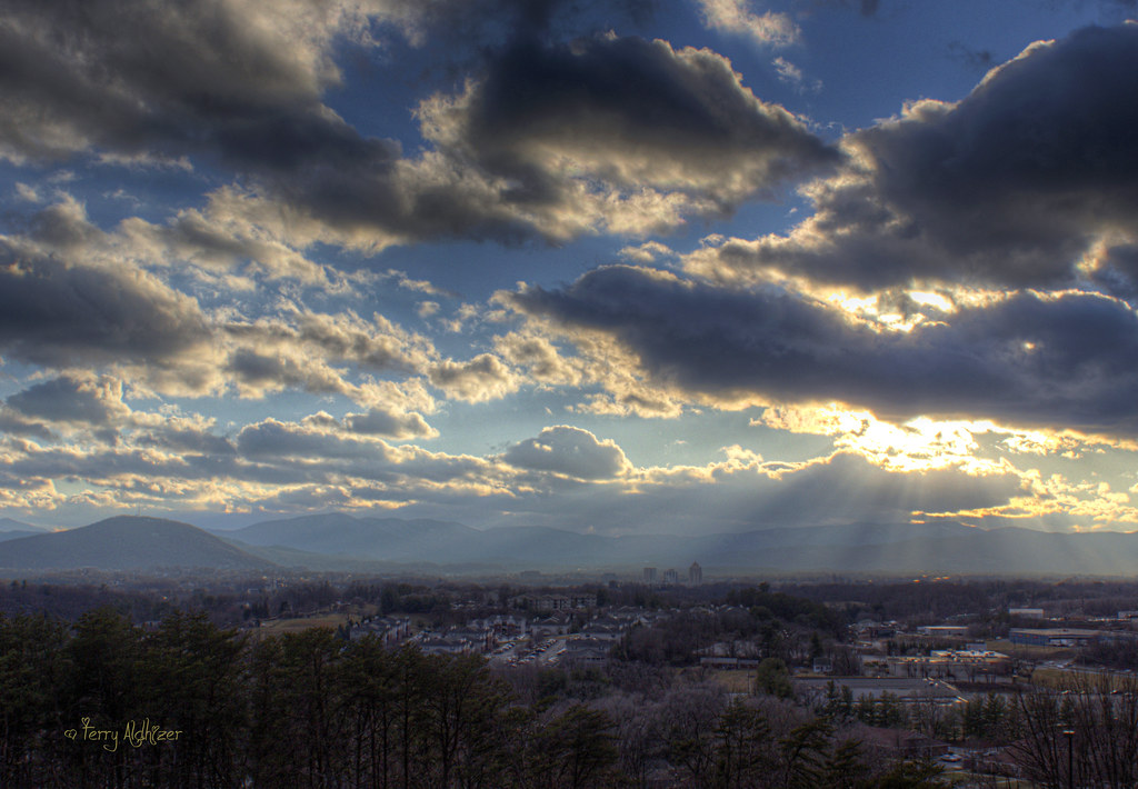
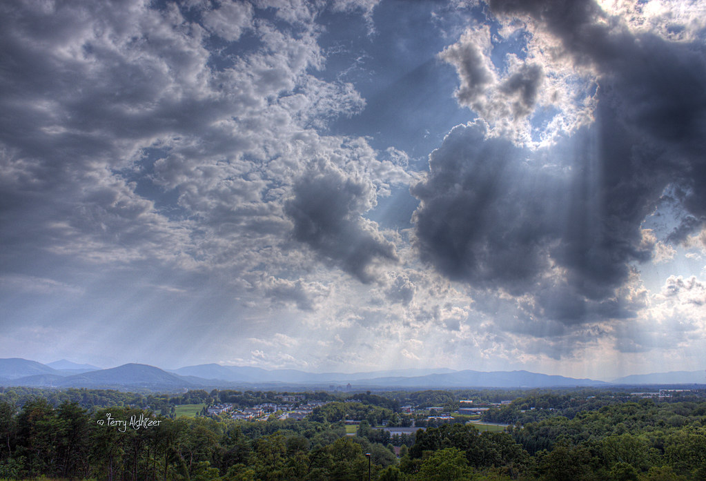
Roanoke viewed from Mill Mountain
Sunset over Roanoke HDR Pano
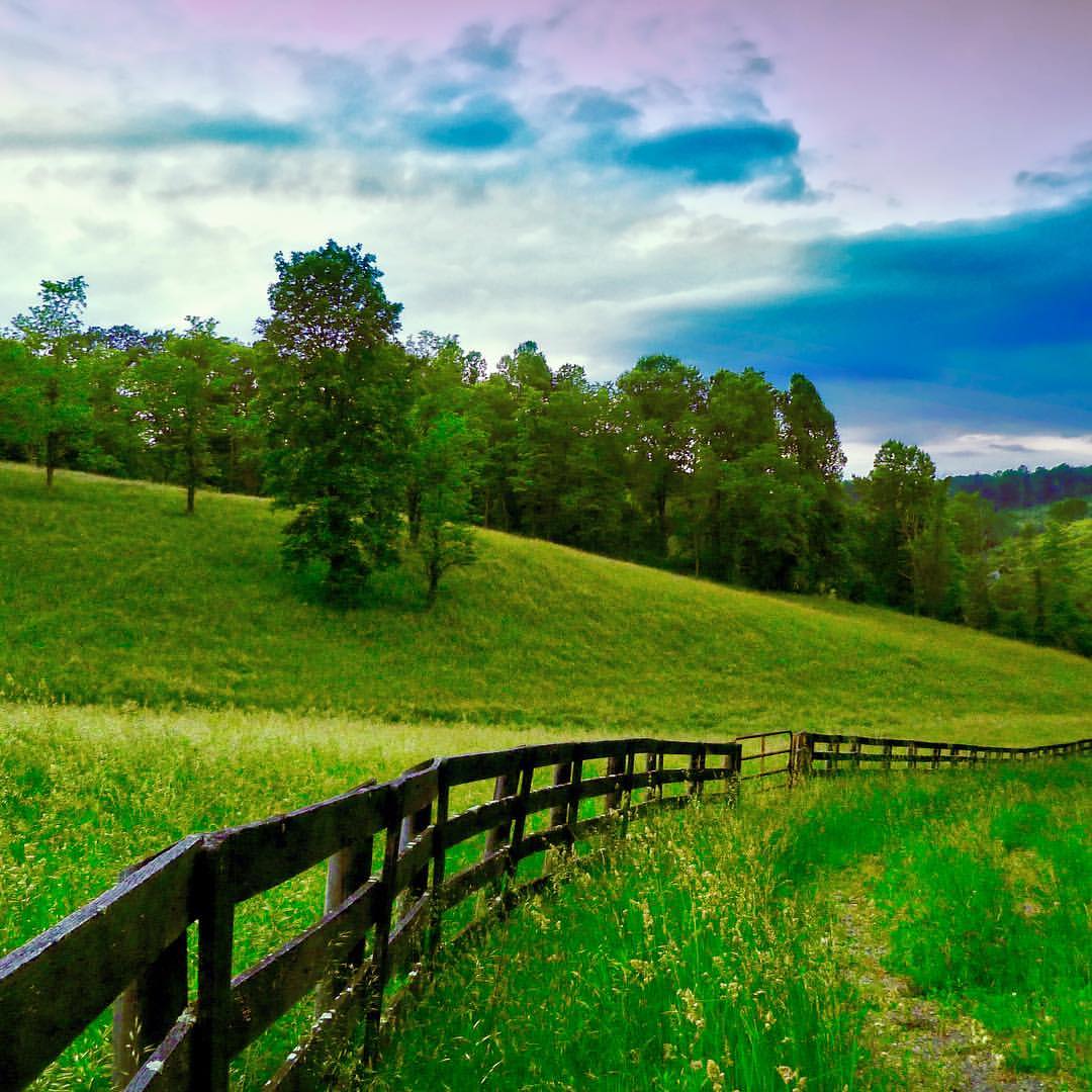
Dappled Lane
020/366

Make Hay...
Dillion Lake, Colorado, Sept. 2015.
The End Of The Road

20170907_F0001: Large suburban DC houses
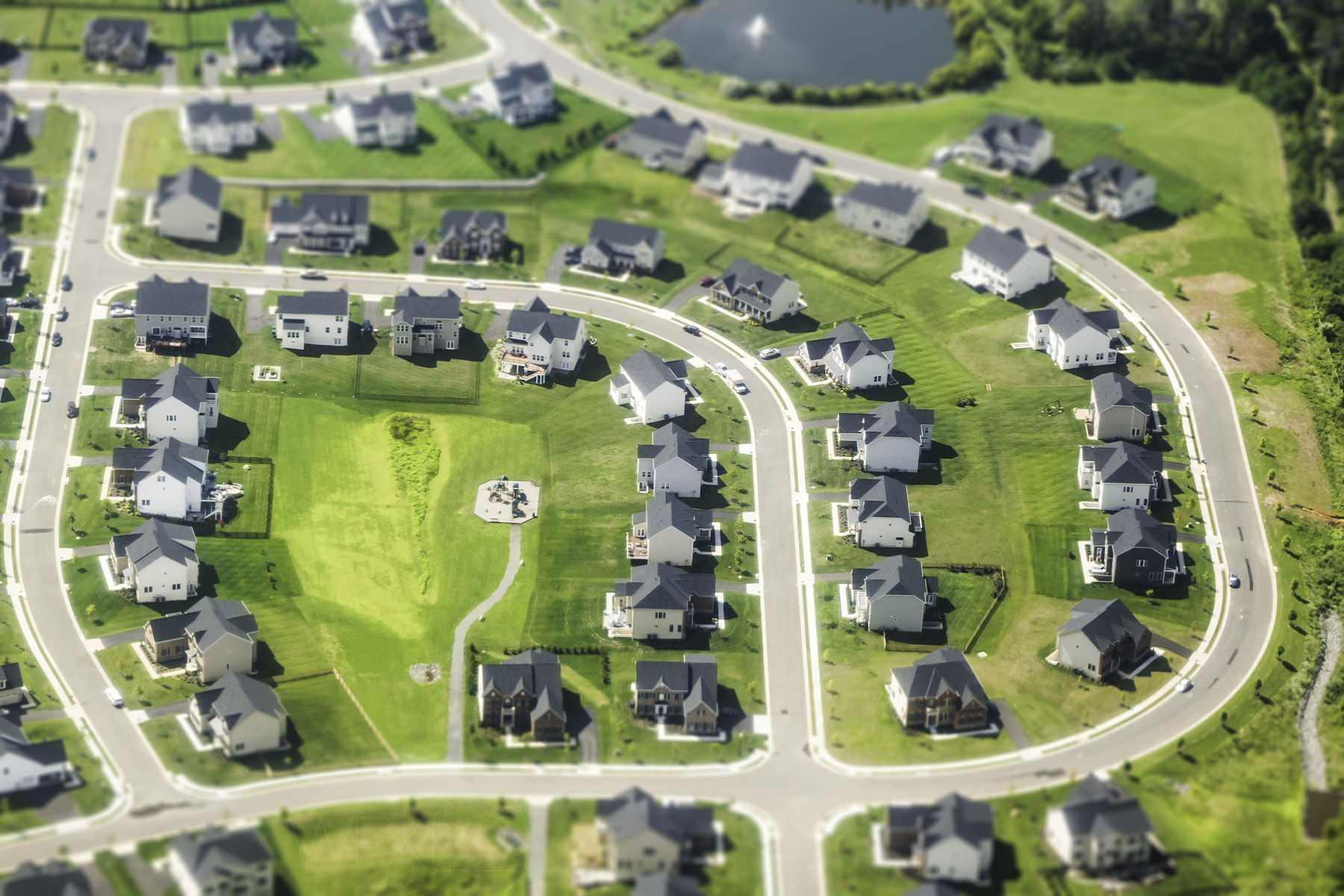
20170906_F0001: Suburban DC houses
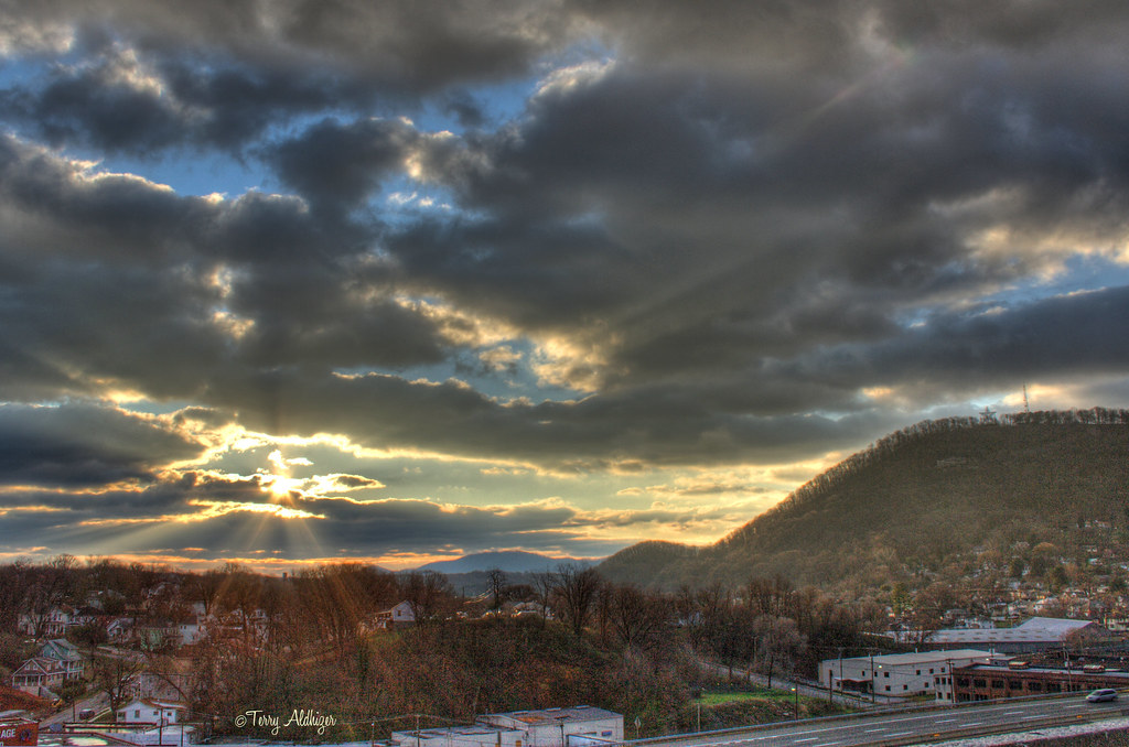
Bathed In Beams - Roanoke VA Photography Terry Aldhizer

Hot Pup, Cold Day
June 3, 2016

River Of Fire
Virginia 611 Excursion California Zephyr Silver Solarium IMG_5383
Virginia 611 Excursion Return to Roanoke IMG_5902
Two Star Sunrise [Explored!] - Roanoke VA Photography Terry Aldhizer

See You Later Summer

Last Summer Sunset
Friday's Rays - Sunshine Roanoke VA Photography Terry Aldhizer

SM M LG Mount Sunset -Roanoke VA Photography Terry Aldhizer
Topographic Map of Circle Brook Dr, Cave Spring, VA, USA
Find elevation by address:

Places near Circle Brook Dr, Cave Spring, VA, USA:
Stonebrook Apartments
3345 Circle Brook Dr
Pebble Creek Apartments
Woodland Dr SW, Roanoke, VA, USA
Starkey Rd, Cave Spring, VA, USA
Sunscape Apartments
3800 Electric Rd
3105 Tomaranne Dr
2328 Idavere Rd Sw
2400 Fairway Dr Sw
2400 Fairway Dr Sw
2342 Circle Dr Sw
Fairway Drive Southwest
Southwoods Dr, Cave Spring, VA, USA
3305 Rasmont Rd
2625 Southwoods Dr
Cave Spring
2508 Steele Rd
Westland Rd SW, Roanoke, VA, USA
5409 Sheila Ln Sw
Recent Searches:
- Elevation of Groblershoop, South Africa
- Elevation of Power Generation Enterprises | Industrial Diesel Generators, Oak Ave, Canyon Country, CA, USA
- Elevation of Chesaw Rd, Oroville, WA, USA
- Elevation of N, Mt Pleasant, UT, USA
- Elevation of 6 Rue Jules Ferry, Beausoleil, France
- Elevation of Sattva Horizon, 4JC6+G9P, Vinayak Nagar, Kattigenahalli, Bengaluru, Karnataka, India
- Elevation of Great Brook Sports, Gold Star Hwy, Groton, CT, USA
- Elevation of 10 Mountain Laurels Dr, Nashua, NH, USA
- Elevation of 16 Gilboa Ln, Nashua, NH, USA
- Elevation of Laurel Rd, Townsend, TN, USA