Elevation of Church Mountain, New Mexico, USA
Location: United States > New Mexico > Carrizozo >
Longitude: -105.76248
Latitude: 33.5495206
Elevation: 2662m / 8734feet
Barometric Pressure: 73KPa
Elevation Map:
Satellite Map:
Related Photos:

Fire Scars
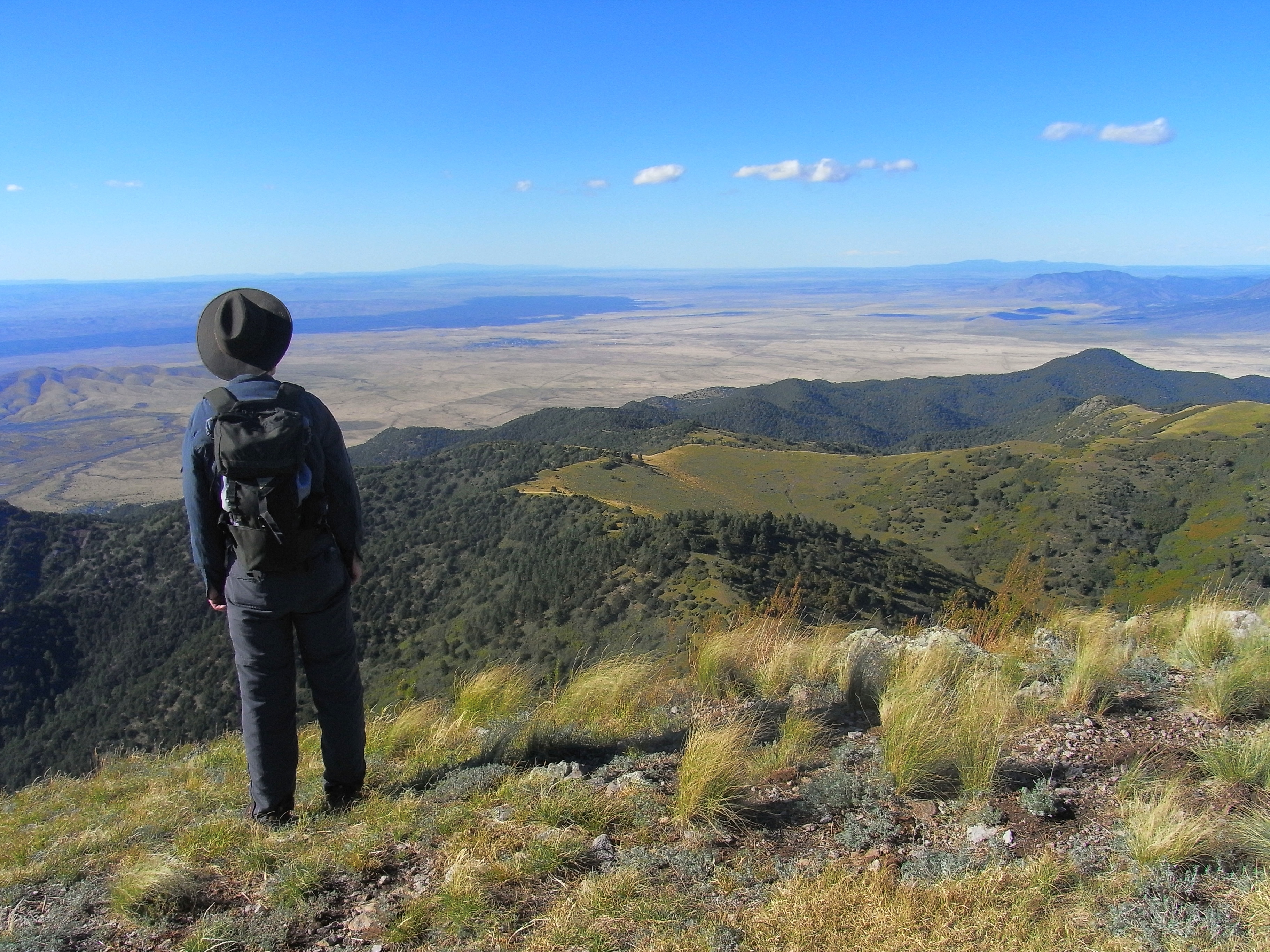
Dad takes in the view
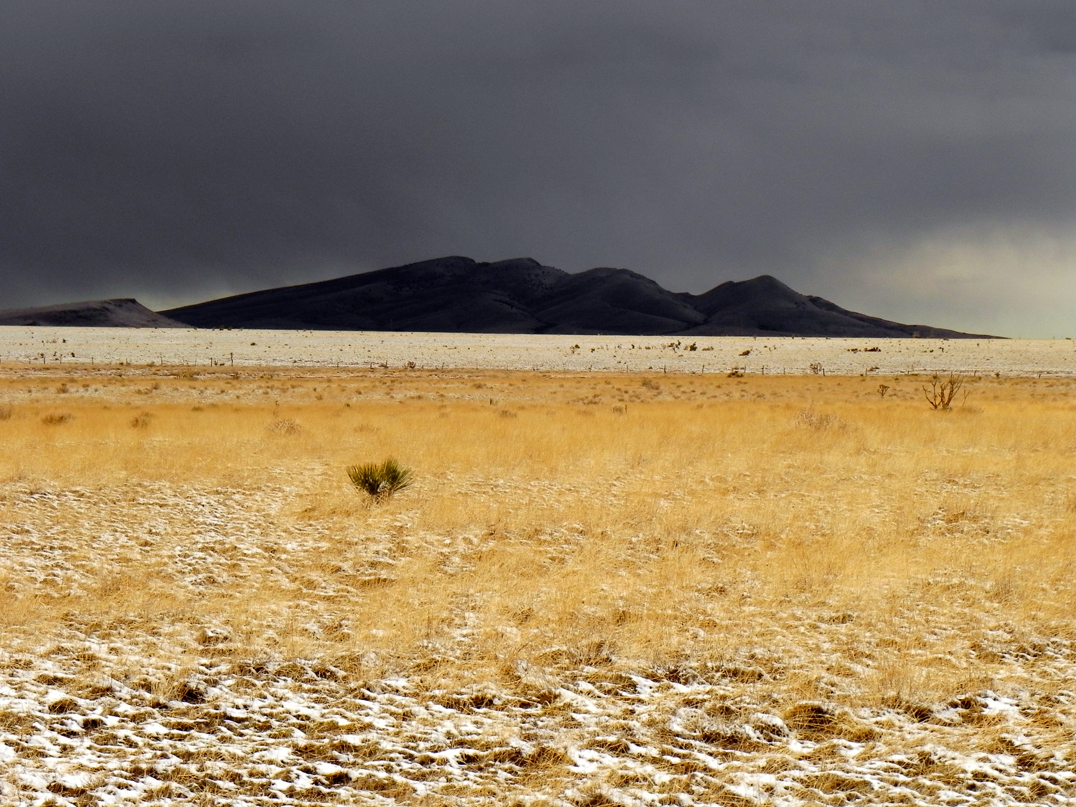
Cub Mountain
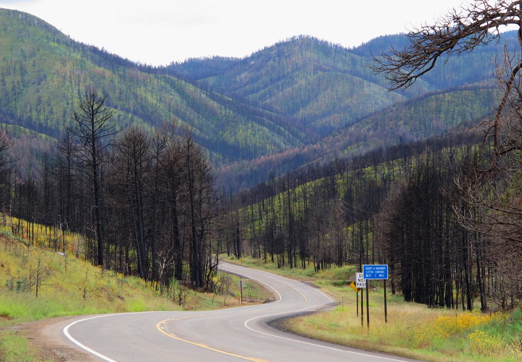
A Scenic Drive Through the Black Sticks
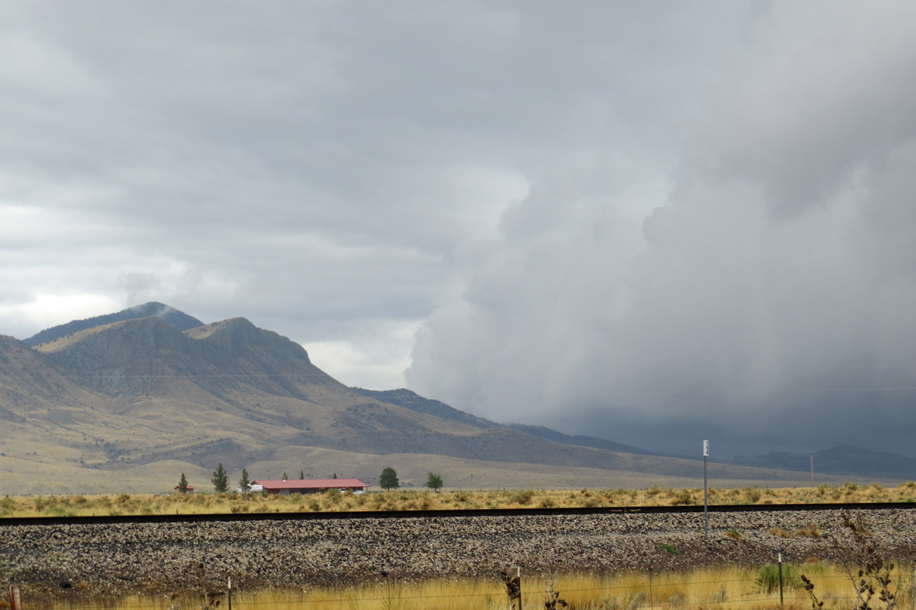
The view along Route 54
Topographic Map of Church Mountain, New Mexico, USA
Find elevation by address:

Places near Church Mountain, New Mexico, USA:
Dry Gulch Road
Nogal
155 Sunset Mesa
156 Sunset Mesa
187 Nogal Canyon Rd
New Mexico 37
Nogal Peak
Loma Grande
Cherry Creek Road
108 Sulkey
108 Sulkey
108 Sulkey
108 Sulkey
123 Cherry Creek Rd
176 Este Dr
181 Ruth Rd
203 Antelope Trail
113 Wolf Springs Loop
Bean Patch Road
Bonito
Recent Searches:
- Elevation of Corso Fratelli Cairoli, 35, Macerata MC, Italy
- Elevation of Tallevast Rd, Sarasota, FL, USA
- Elevation of 4th St E, Sonoma, CA, USA
- Elevation of Black Hollow Rd, Pennsdale, PA, USA
- Elevation of Oakland Ave, Williamsport, PA, USA
- Elevation of Pedrógão Grande, Portugal
- Elevation of Klee Dr, Martinsburg, WV, USA
- Elevation of Via Roma, Pieranica CR, Italy
- Elevation of Tavkvetili Mountain, Georgia
- Elevation of Hartfords Bluff Cir, Mt Pleasant, SC, USA