Elevation of Antelope Trail, Nogal, NM, USA
Location: United States > New Mexico > Lincoln County > Nogal >
Longitude: -105.66802
Latitude: 33.5056445
Elevation: 2112m / 6929feet
Barometric Pressure: 78KPa
Elevation Map:
Satellite Map:
Related Photos:
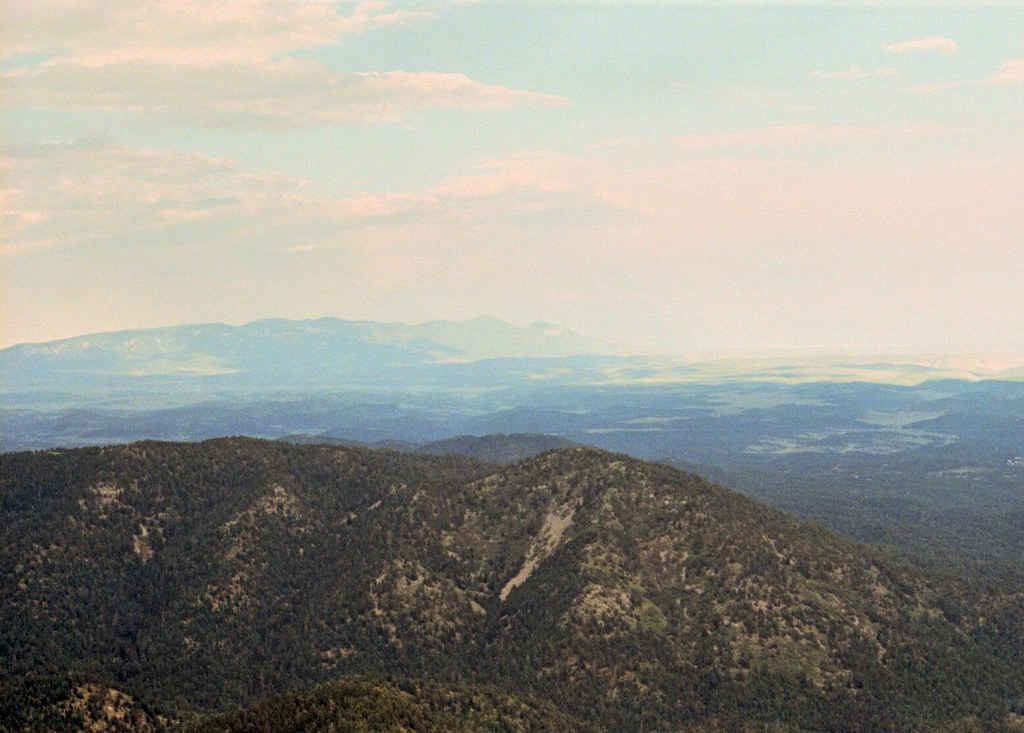
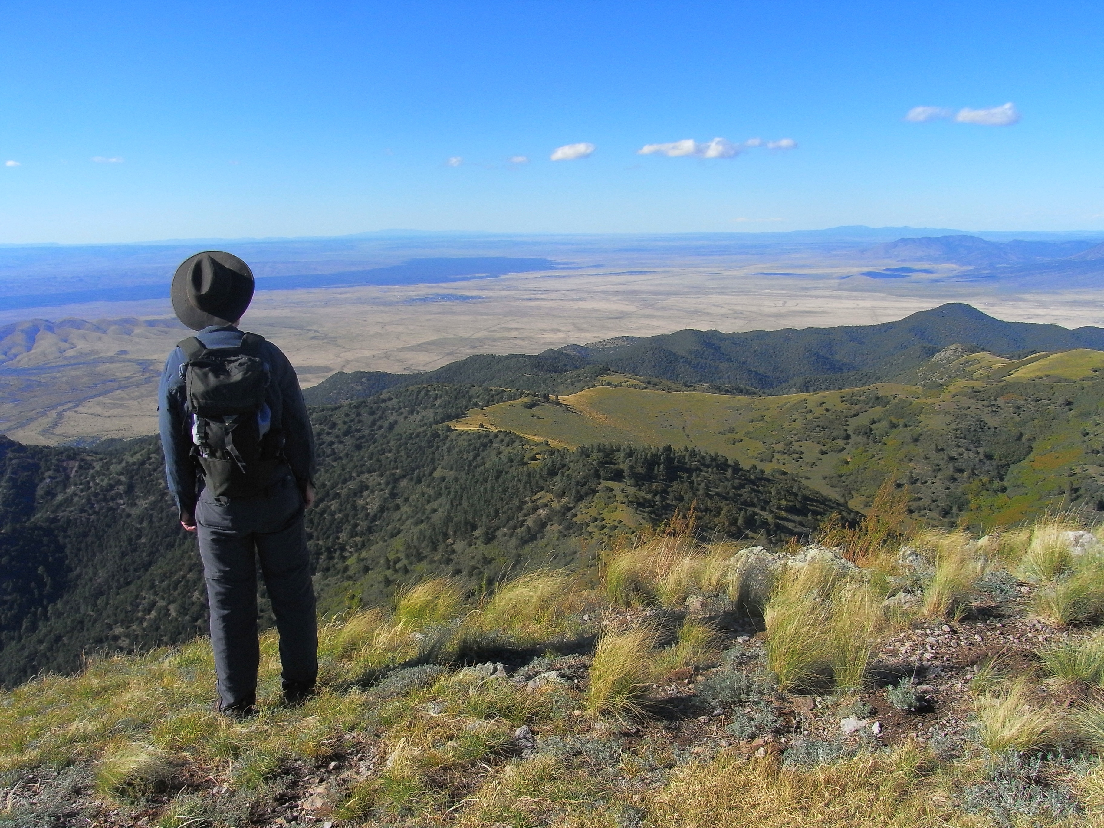
View From Ruidoso
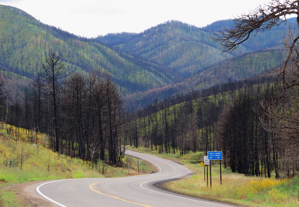
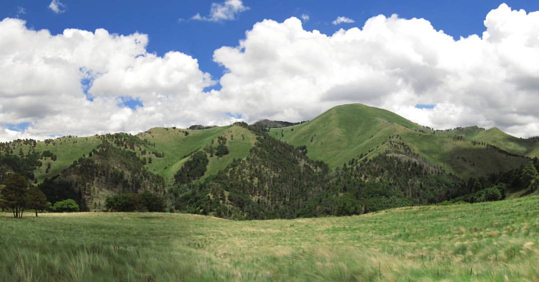
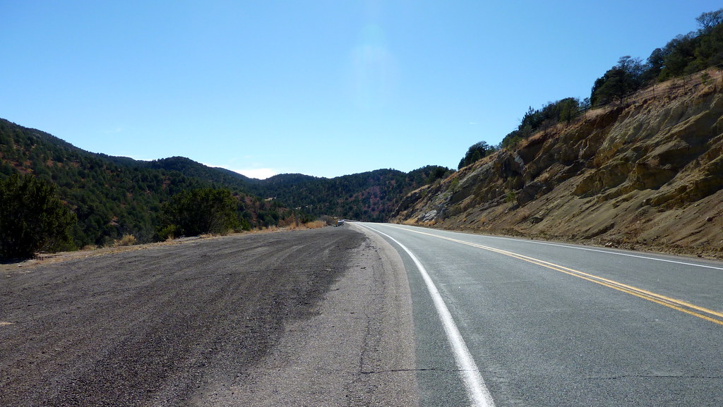
A Scenic Drive Through the Black Sticks

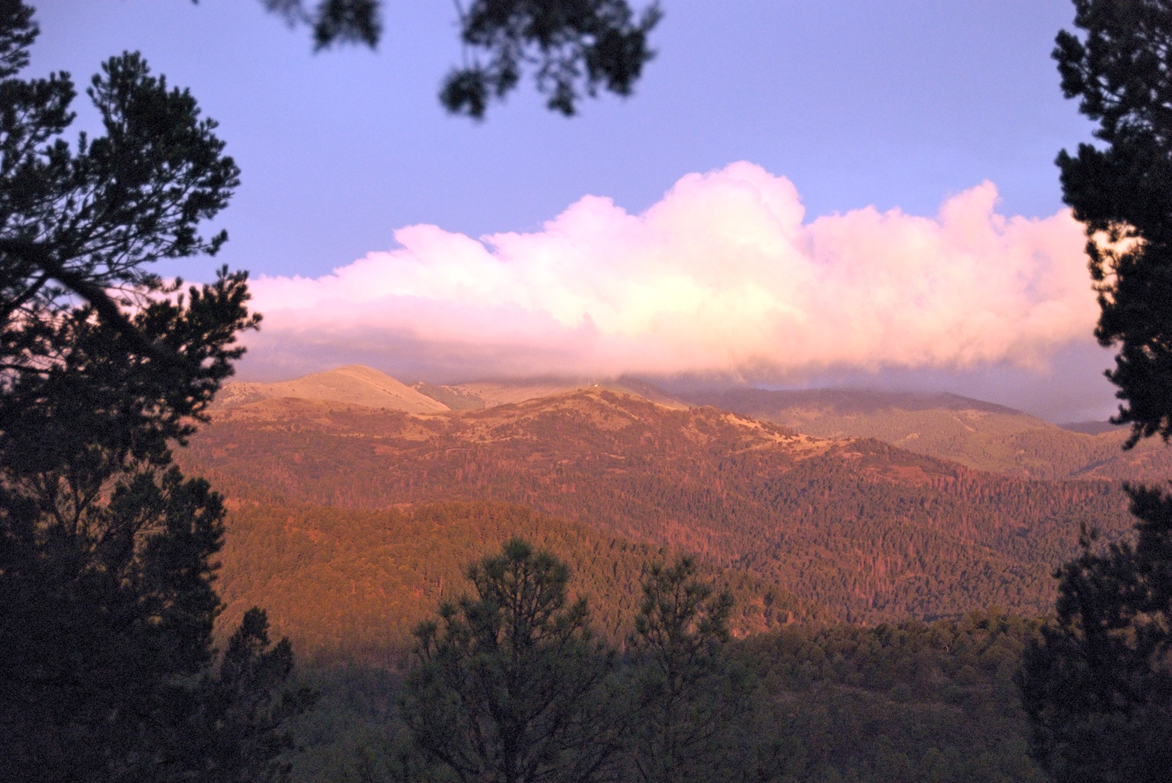
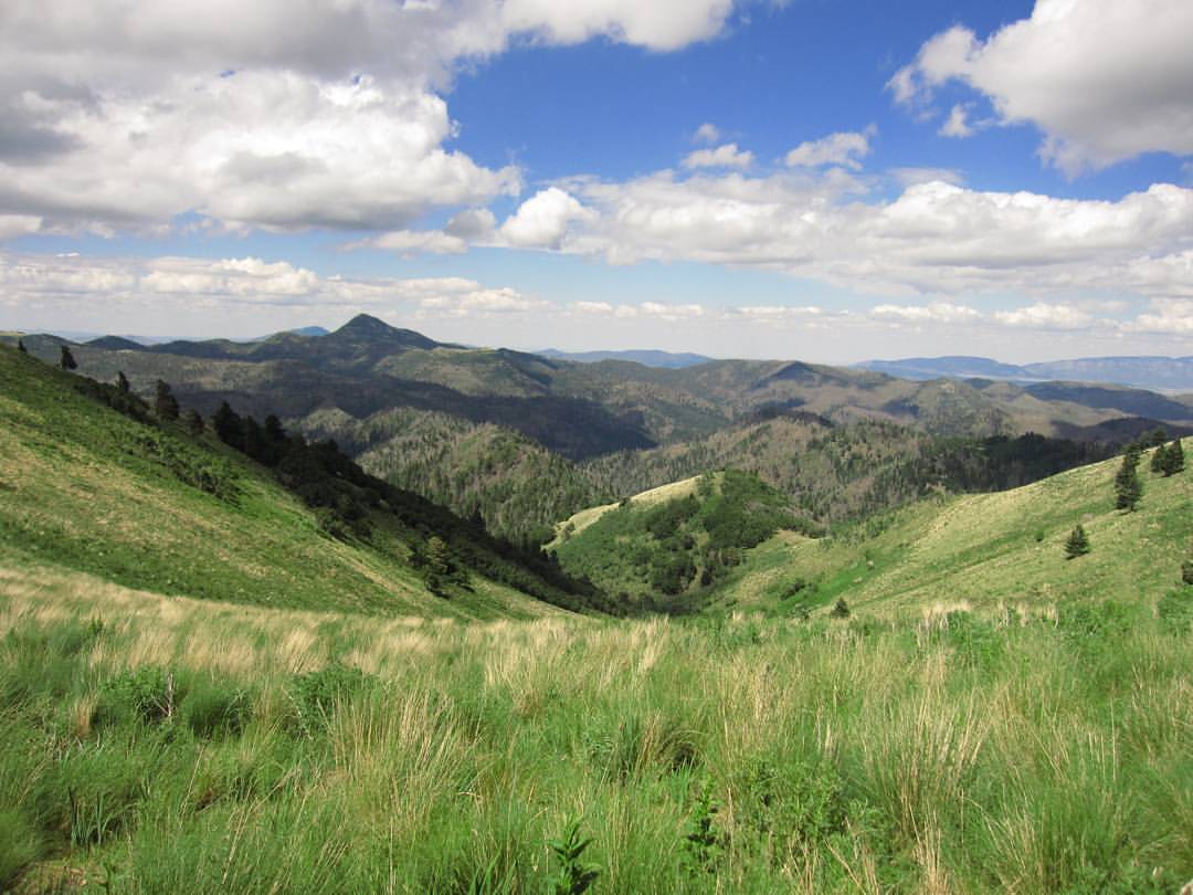
Beautiful view

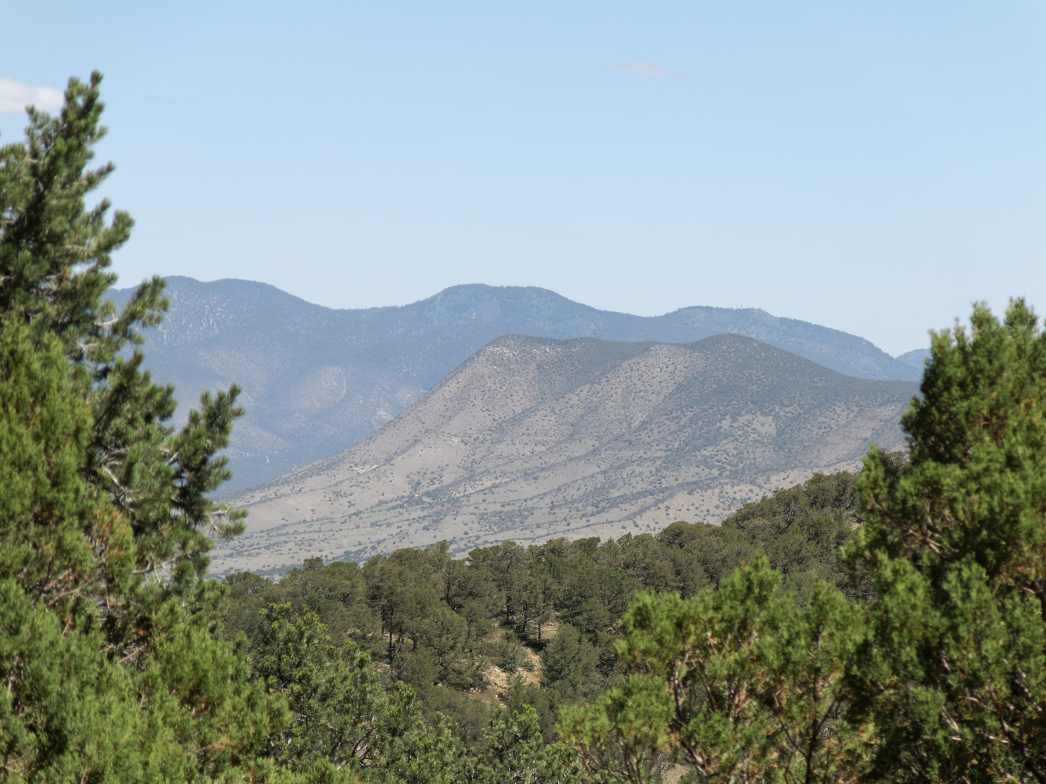
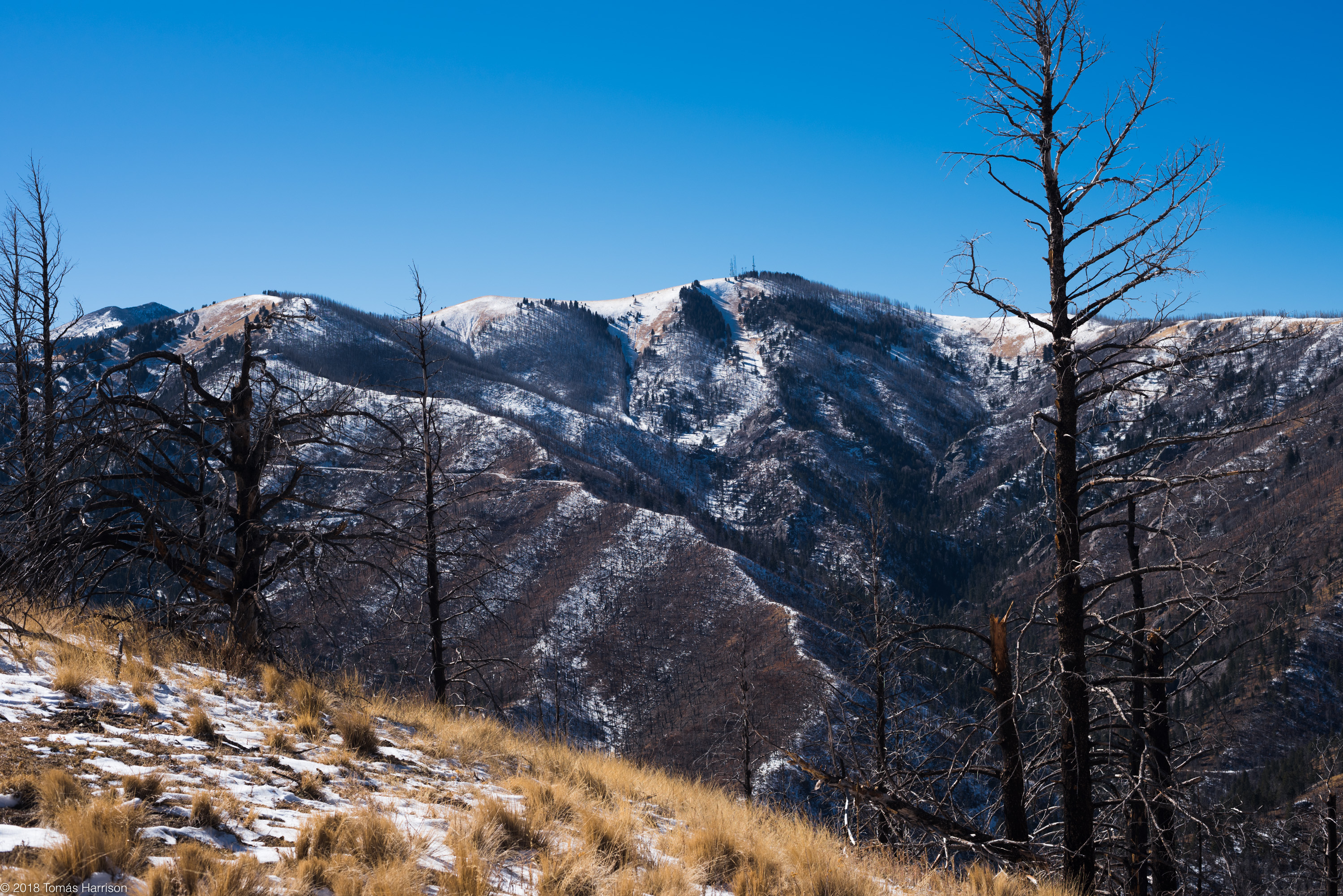
Fire Scars
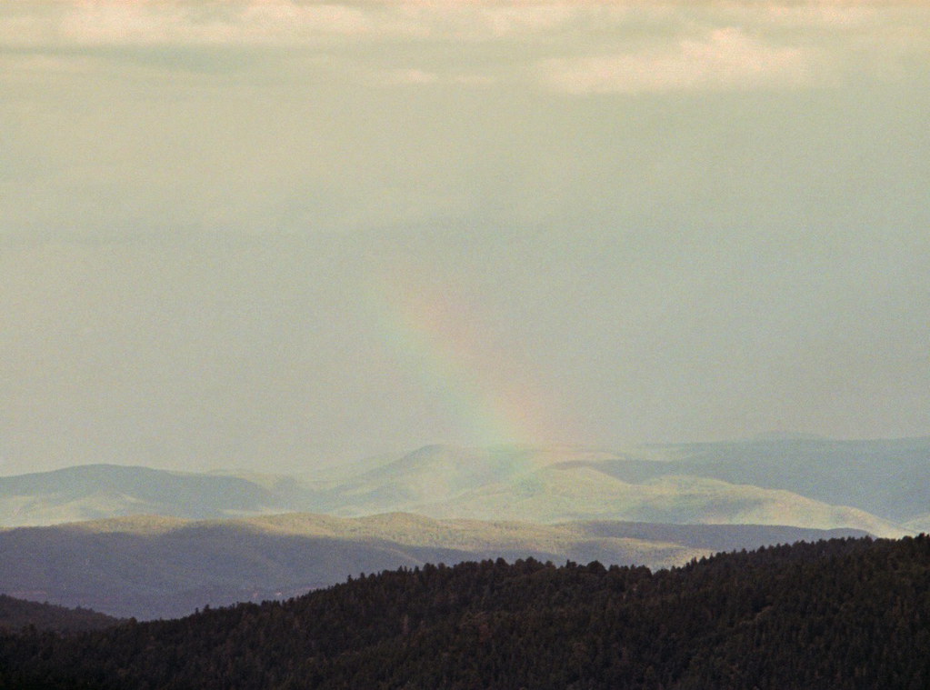
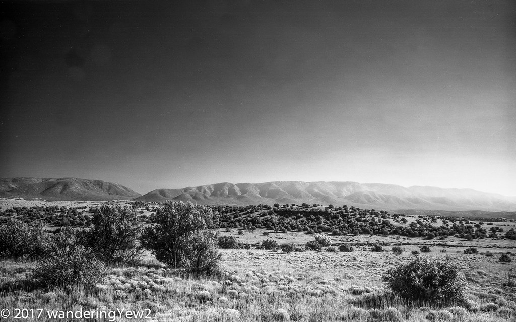
Rainbow range

Sierra Blanca peak
Capitan mountains

Rainbow range revisited

View From Sierra Blanca

Wildflower girl

Enjoying the moment

The merchant of the Mountains
Dad takes in the view

lots of lines '#2937'

lots of lines '#2938'

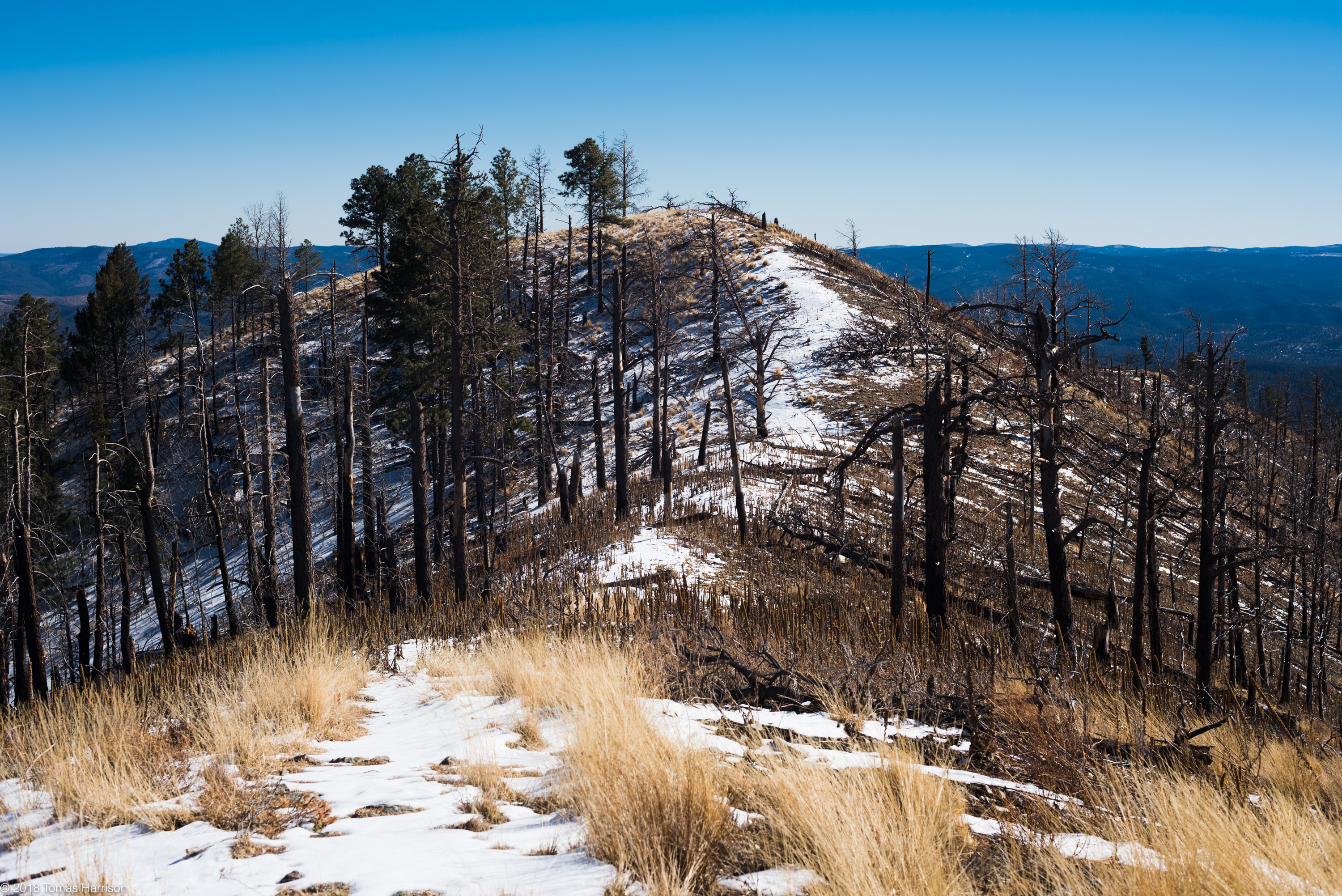
White Mountain Wilderness, NM

Smokey the Bear Museum
White Horse Hill

Tularosa Valley
Bonito Valley with Nogal Peak
Carrizo Peak / Vera Cruz Mountain
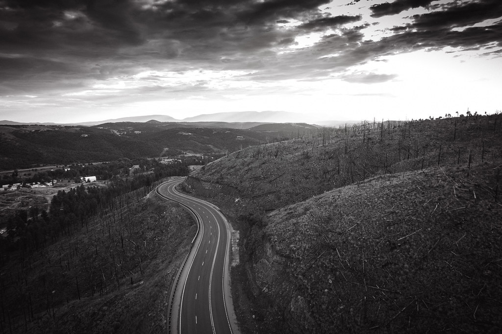
US 380 in New Mexico

Rio Grande River - new Mexico
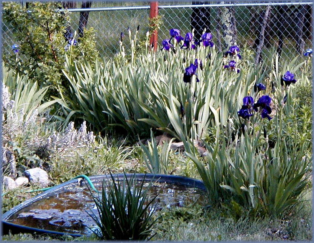
Alto, New Mexico Gardens
sierra blanca
top of the world
NM -- Capitan Mountains Infrared
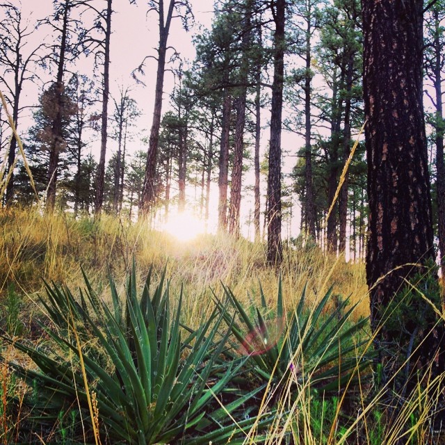
Sunset through the forest.
NMTX_NovRoadtrip2013: S.E. NM Desert Landscape
Ruidoso, NM

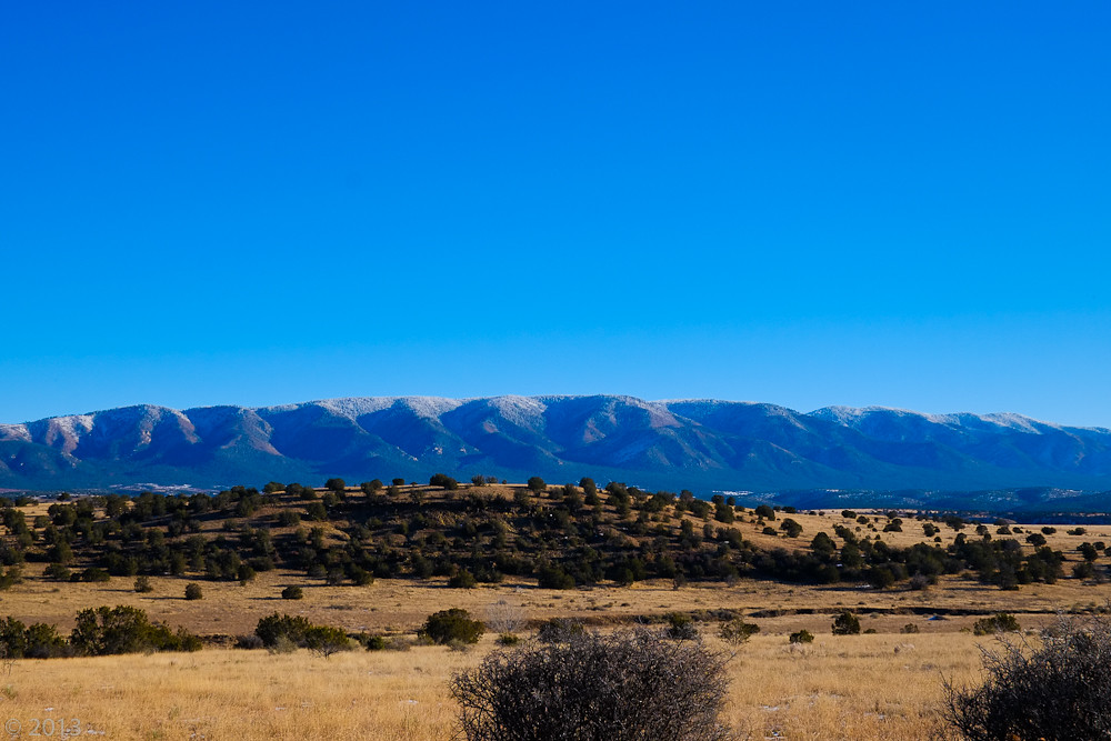
Sierra Blanca peak
Topographic Map of Antelope Trail, Nogal, NM, USA
Find elevation by address:

Places near Antelope Trail, Nogal, NM, USA:
Bean Patch Road
123 Cherry Creek Rd
Cherry Creek Road
113 Wolf Springs Loop
108 Sulkey
108 Sulkey
108 Sulkey
108 Sulkey
176 Este Dr
181 Ruth Rd
New Mexico 37
156 Sunset Mesa
155 Sunset Mesa
187 Nogal Canyon Rd
Laughing Horse Trail
Loma Grande
Angus
Dry Gulch Road
Nogal
Bonito
Recent Searches:
- Elevation of Leguwa, Nepal
- Elevation of County Rd, Enterprise, AL, USA
- Elevation of Kolchuginsky District, Vladimir Oblast, Russia
- Elevation of Shustino, Vladimir Oblast, Russia
- Elevation of Lampiasi St, Sarasota, FL, USA
- Elevation of Elwyn Dr, Roanoke Rapids, NC, USA
- Elevation of Congressional Dr, Stevensville, MD, USA
- Elevation of Bellview Rd, McLean, VA, USA
- Elevation of Stage Island Rd, Chatham, MA, USA
- Elevation of Shibuya Scramble Crossing, 21 Udagawacho, Shibuya City, Tokyo -, Japan