Elevation of Christina Lake, BC V0H 1E3, Canada
Location: Canada > British Columbia > Kootenay Boundary > Kootenay Boundary C > Christina Lake >
Longitude: -118.01886
Latitude: 49.1668171
Elevation: 951m / 3120feet
Barometric Pressure: 90KPa
Elevation Map:
Satellite Map:
Related Photos:
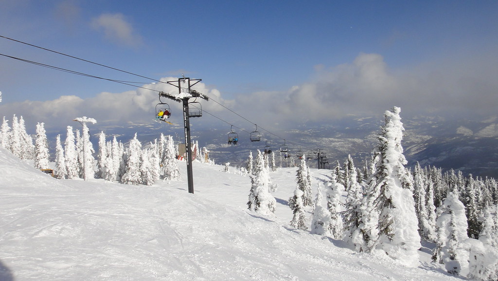
View down the lift
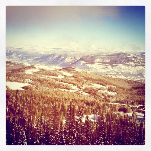
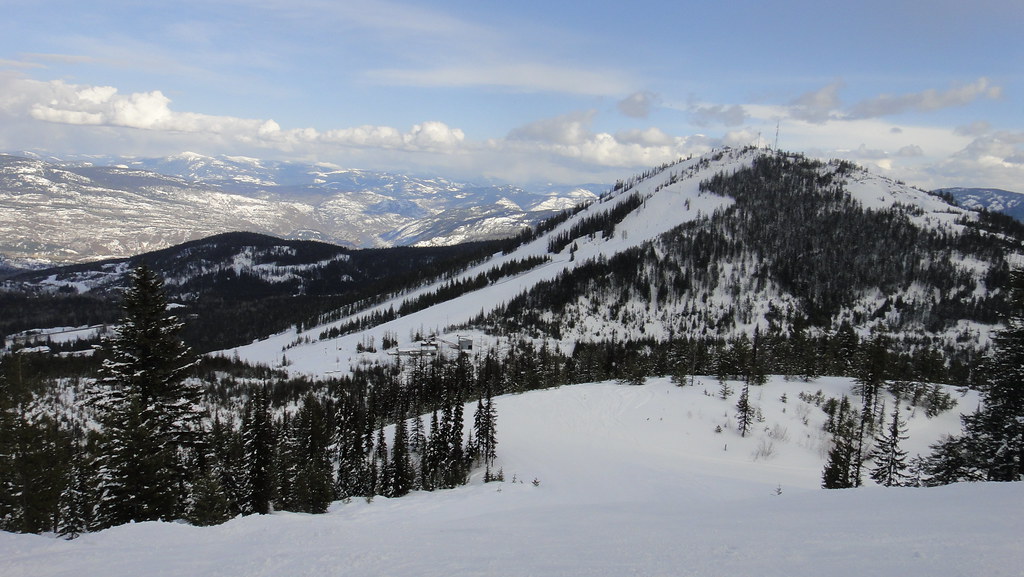
Top of Mt Pluto with a view of Red Mountain.
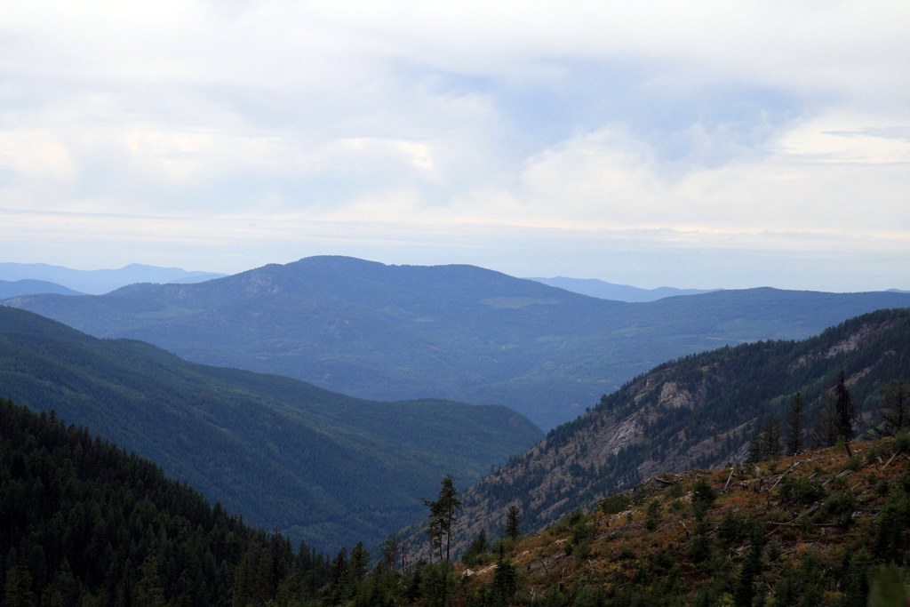
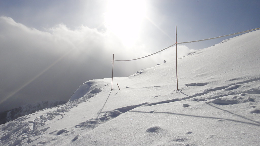
View to the west at Bonanza Pass FSR
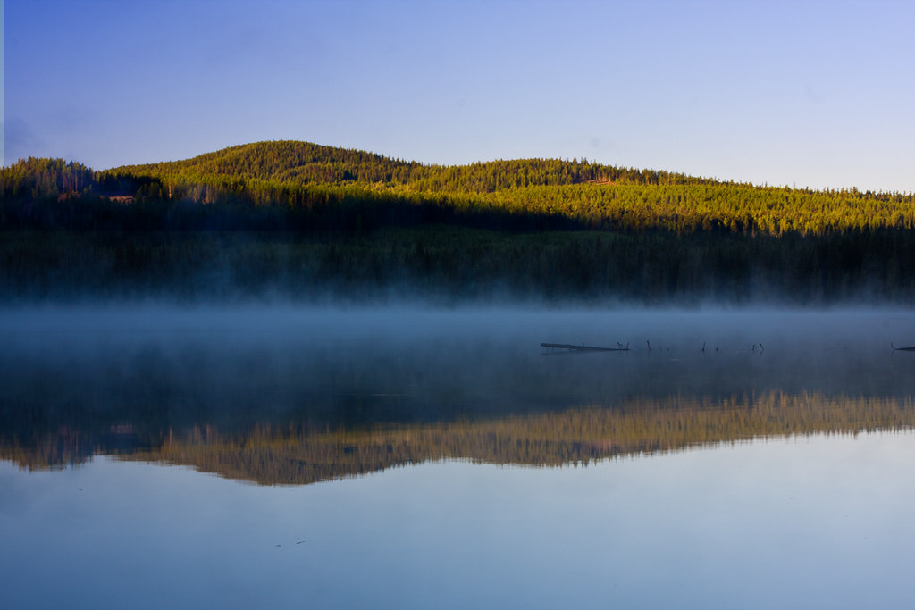
misty-lake
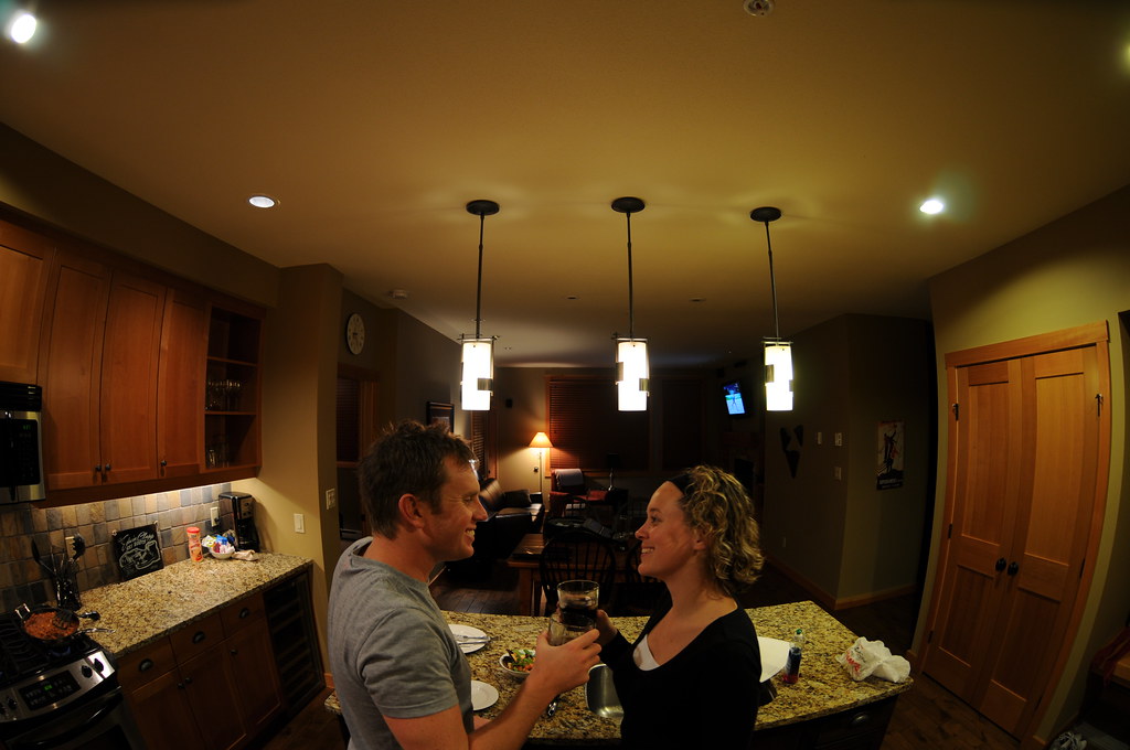
365017 - Cheers

High Mountain Adventures in Rossland
Shine a light
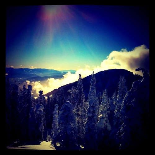
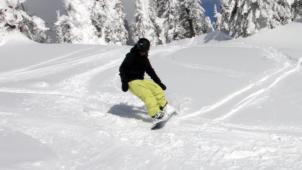
Beautiful day on the hill
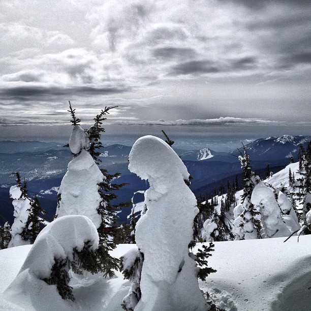
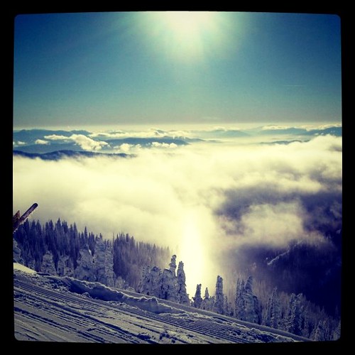
More clouds through the hole in the clouds! Great skiing today. #nofilter
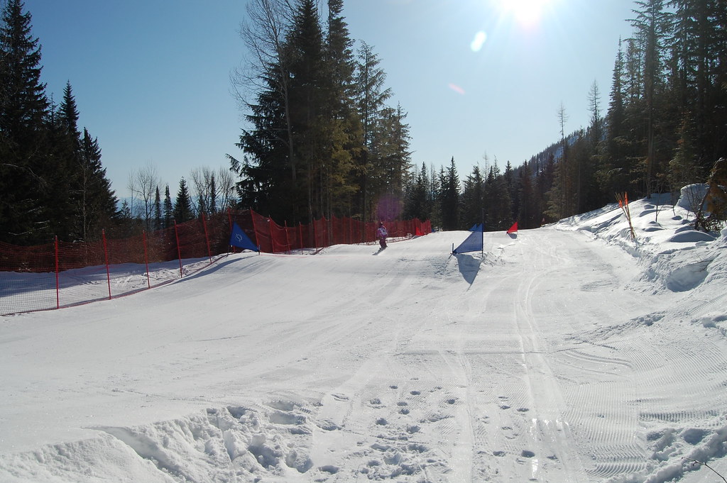
Red Mountain Road Trip
Red Mountain Road Trip
Red mountain.
Red Mountain Road Trip
Red Mountain Road Trip
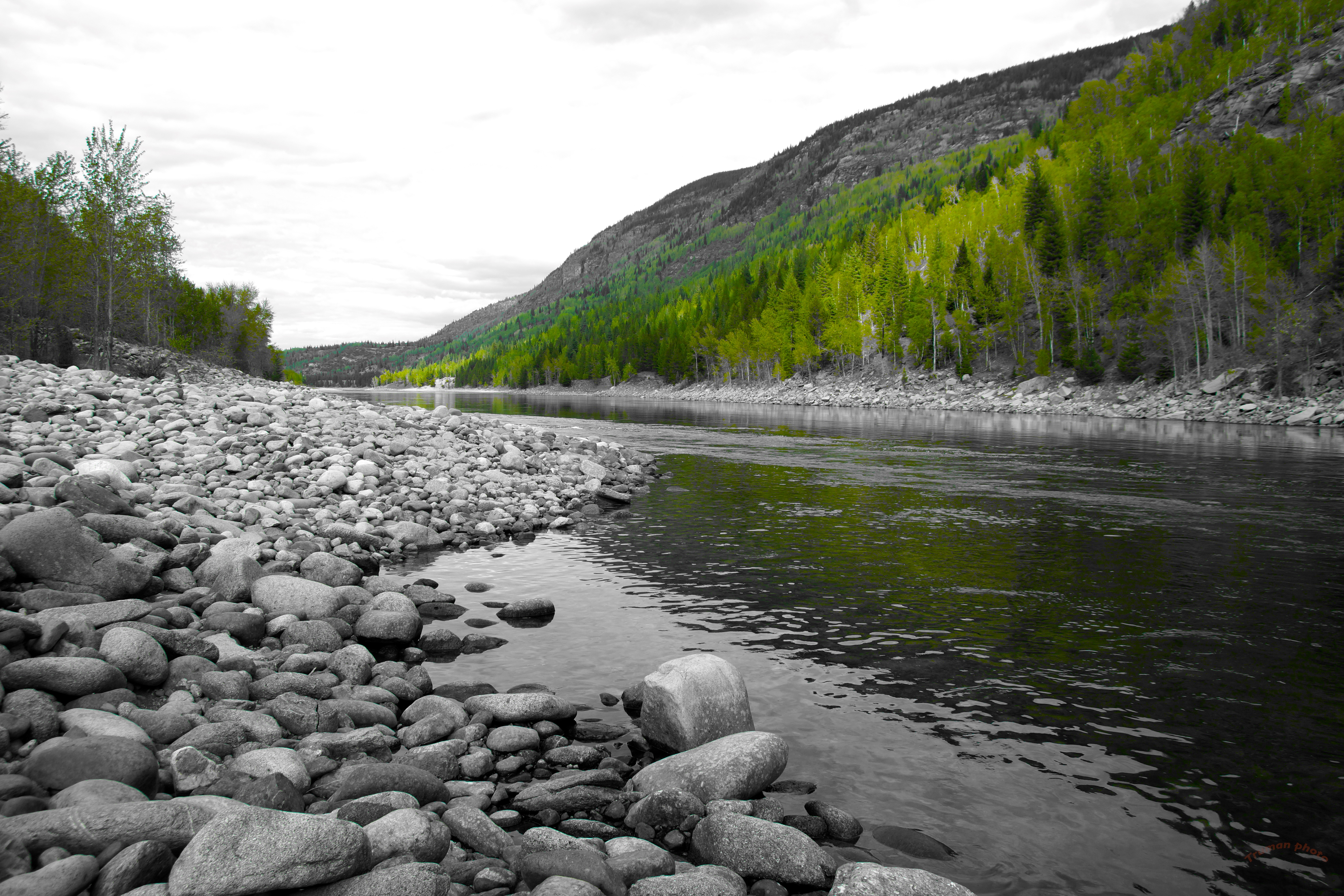
Spring on the Columbia river
Red Mountain Road Trip
Red Mountain Road Trip
Red Mountain Road Trip
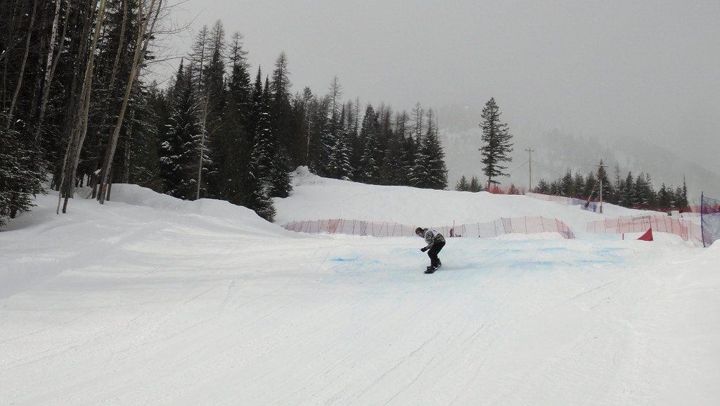
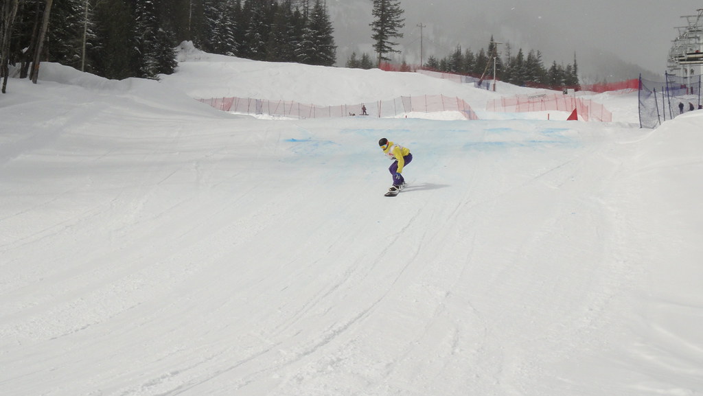
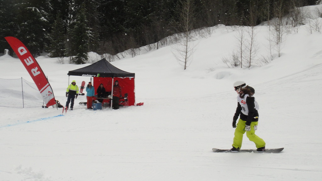
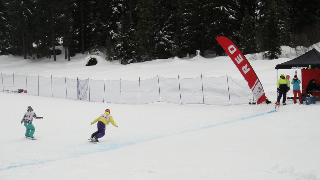
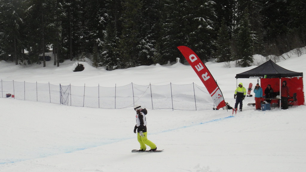
Race Day One
Red Mountain Road Trip
Red Mountain Road Trip
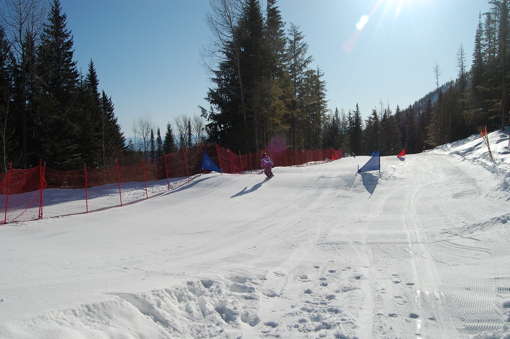
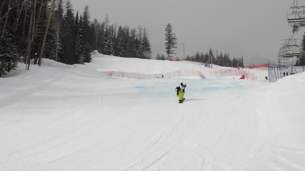
Race Day One
Red Mountain Road Trip
Red Mountain Road Trip
Red Mountain Road Trip
Topographic Map of Christina Lake, BC V0H 1E3, Canada
Find elevation by address:

Places near Christina Lake, BC V0H 1E3, Canada:
Bonanza Pass
Kootenay Boundary B
Big Sheep Creek Road
Granite Mountain
Black Jack Ski Club
Rossland
Thompson Avenue
Canada Post
1741 St Paul St
740 Redstone Drive
740 Redstone Drive
685 Redstone Drive
205 Hillcrest Dr
880 Wordsworth Ave
800 Wordsworth Ave
800 Wordsworth Ave
Oasis
4807 Wa-25
Warfield
648 Dickens St
Recent Searches:
- Elevation of Kambingan Sa Pansol Atbp., Purok 7 Pansol, Candaba, Pampanga, Philippines
- Elevation of Pinewood Dr, New Bern, NC, USA
- Elevation of Mountain View, CA, USA
- Elevation of Foligno, Province of Perugia, Italy
- Elevation of Blauwestad, Netherlands
- Elevation of Bella Terra Blvd, Estero, FL, USA
- Elevation of Estates Loop, Priest River, ID, USA
- Elevation of Woodland Oak Pl, Thousand Oaks, CA, USA
- Elevation of Brownsdale Rd, Renfrew, PA, USA
- Elevation of Corcoran Ln, Suffolk, VA, USA