Elevation of Black Jack Ski Club, Kootenay Boundary B, BC V1R, Canada
Location: Canada > British Columbia > Kootenay Boundary > Kootenay Boundary B > Rossland >
Longitude: -117.81406
Latitude: 49.1130824
Elevation: 1150m / 3773feet
Barometric Pressure: 88KPa
Elevation Map:
Satellite Map:
Related Photos:
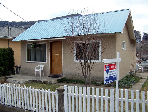
koot10c80 Residential Real Estate, East Trail, BC 2010
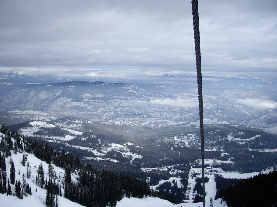
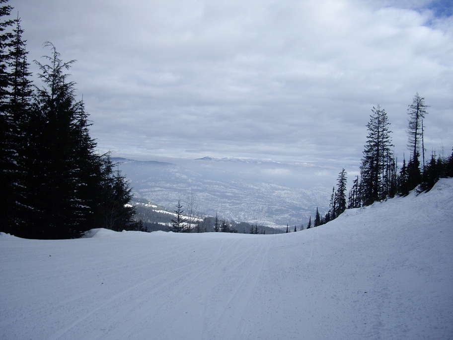
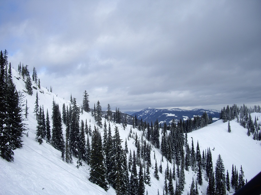
View down the lift
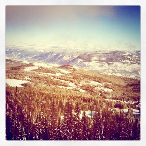
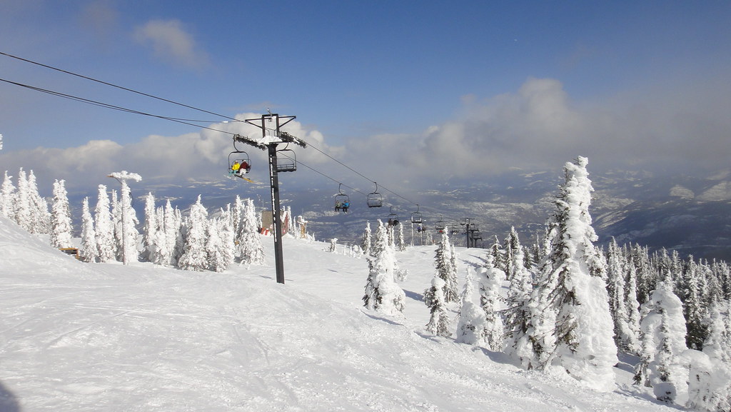
View from Motherload lift
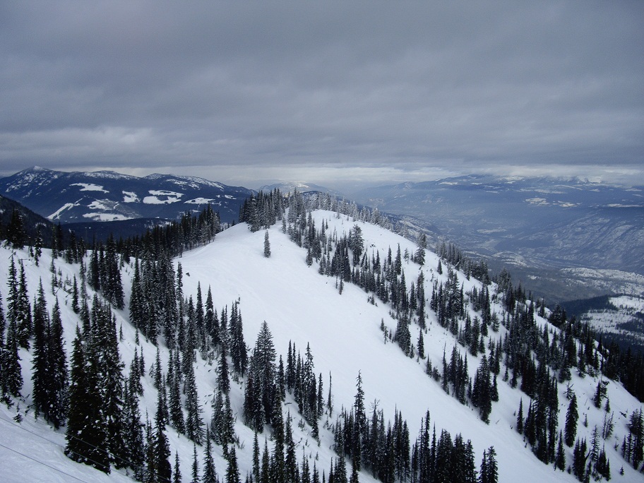
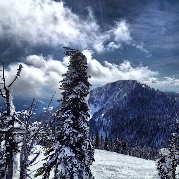
Top of Mt Pluto with a view of Red Mountain.
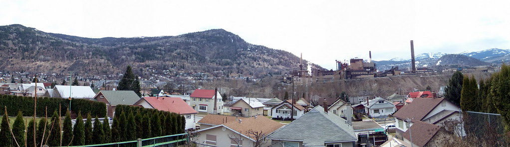
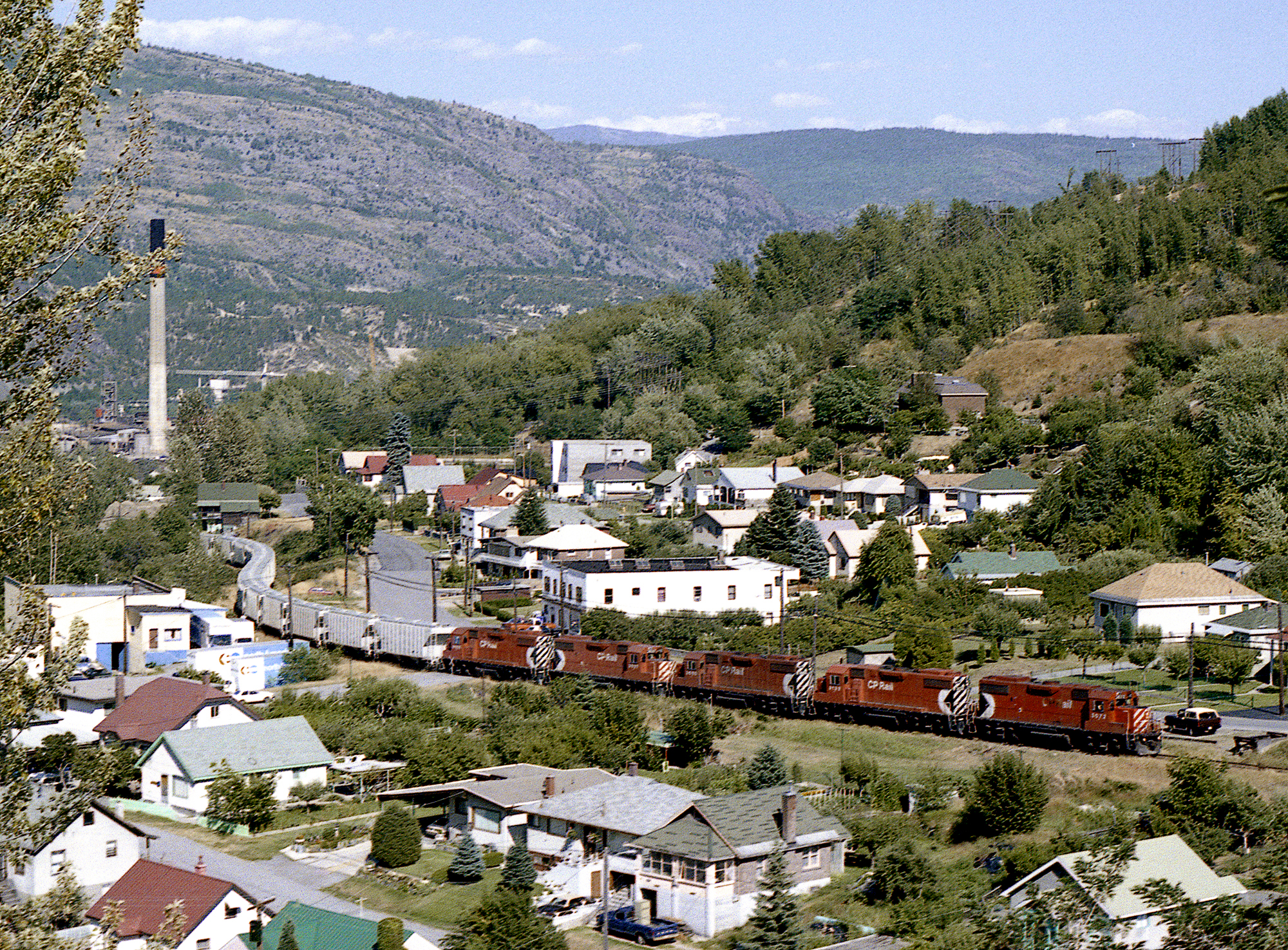
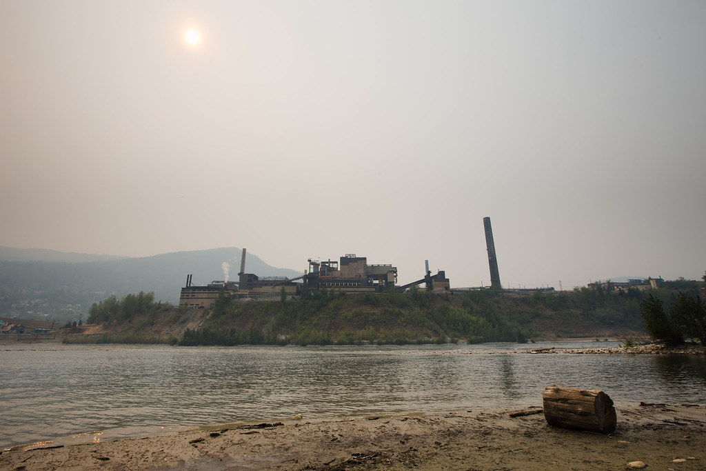
koot10c82 City Smelter Panorama, Trail, BC 2010

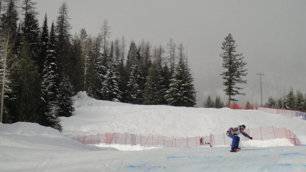
Skiing at Red Mountain in Rossland
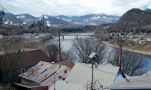
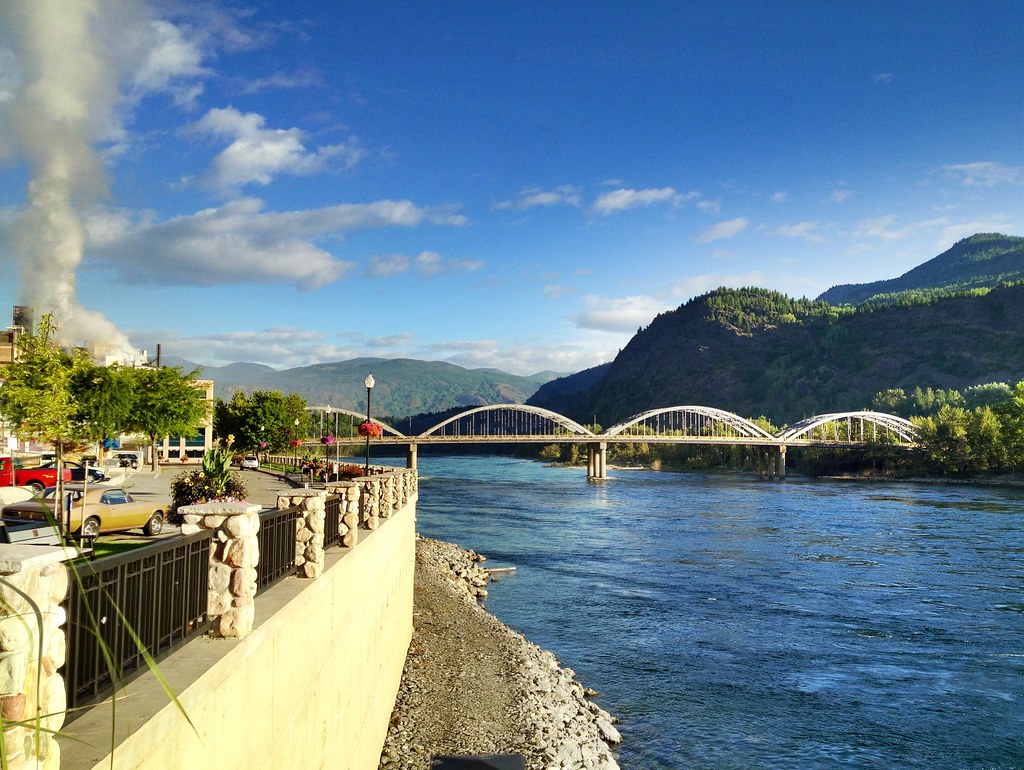
koot10c54 Columbia River View, Trail, BC 2010

Powder Paws in Rossland

koot10c81 Teck Smelter City View, Trail, BC 2010
View from Motherload lift
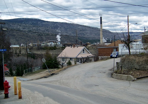
koot10c71 Warfield Smelter View, Trail, BC 2010
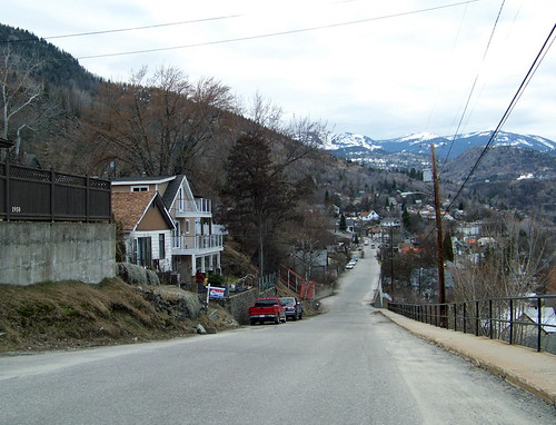
koot10c61 Steep Residential Street, Trail, BC 2010
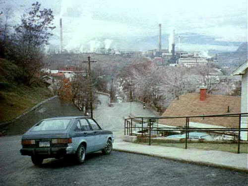
38425_14 Smelter View, Trail BC 1995
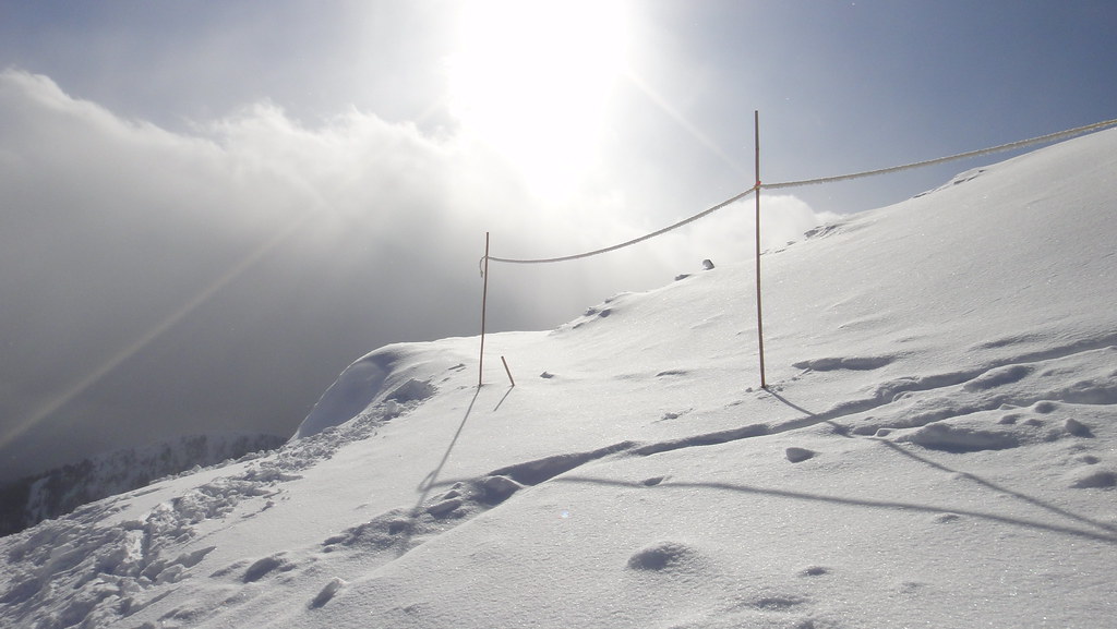
View of Rinos Run after one of my many stacks
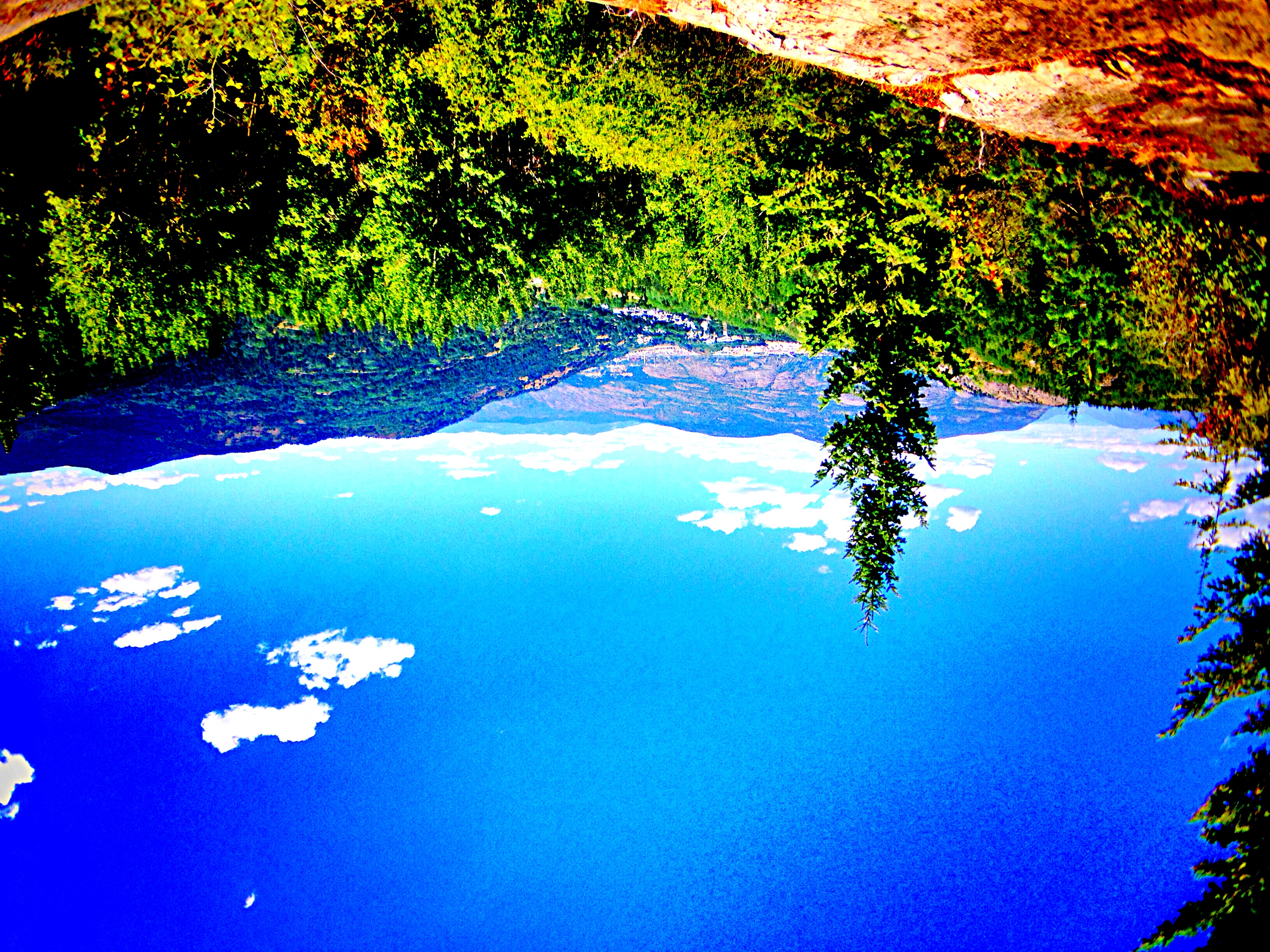
Over looking a beautiful view while #MTB #riding in #RosslandBC #Kootneys #Canada #exploreBC
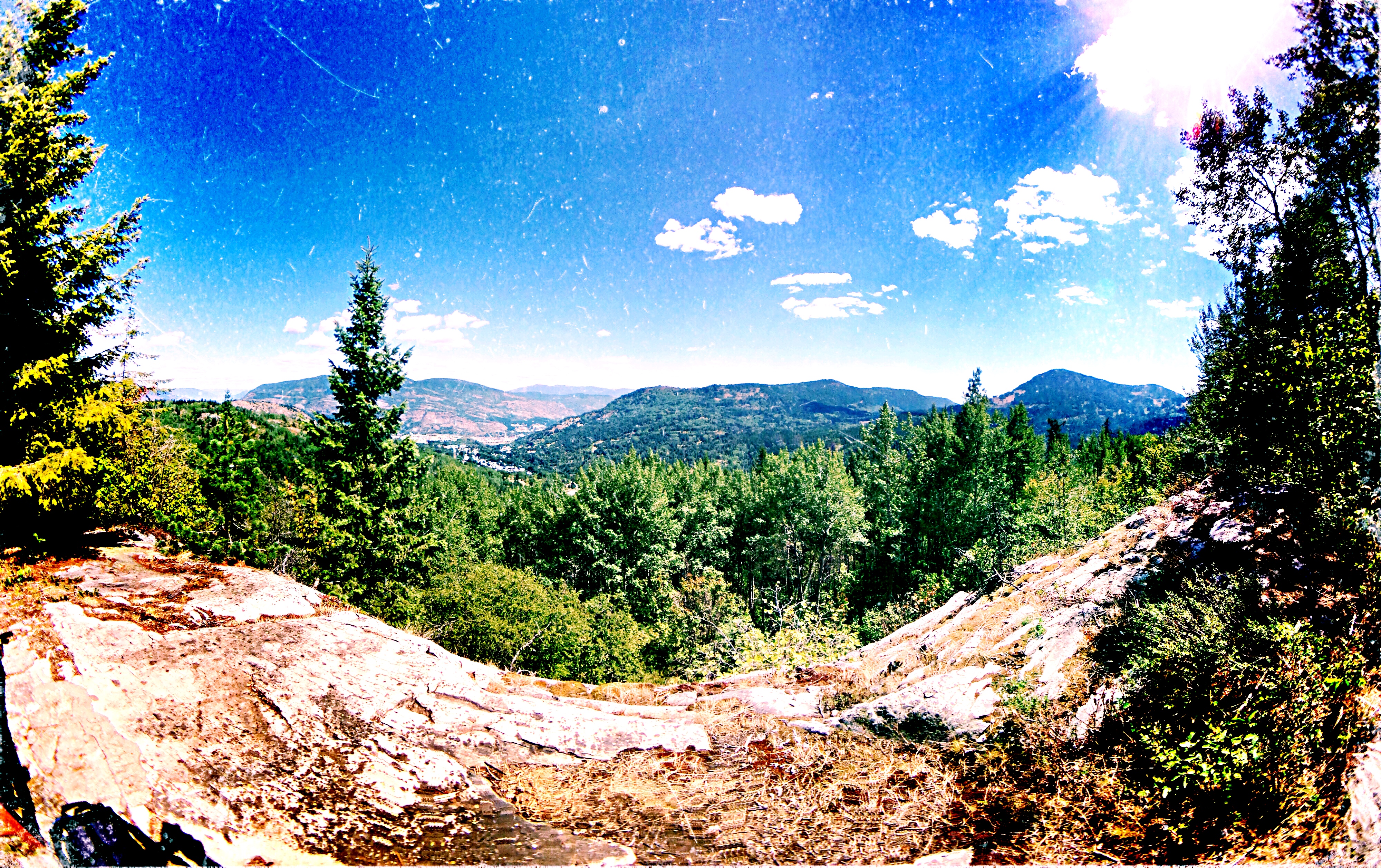
Same view as before only in a #panorama #RosslandBC #Kootneys #MTB #ride #exploreBC
TrailBC 8-4-88

Columbia River Harmony - Explored!
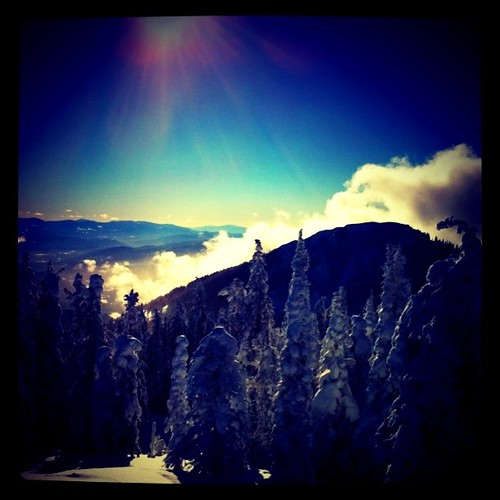
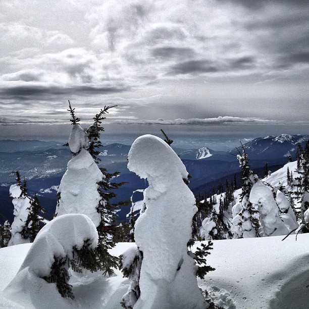
Beautiful day on the hill
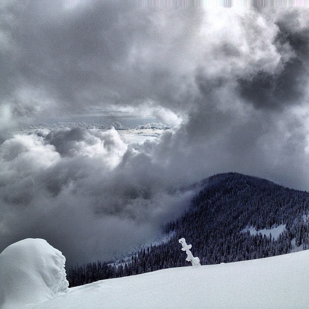
More clouds through the hole in the clouds! Great skiing today. #nofilter
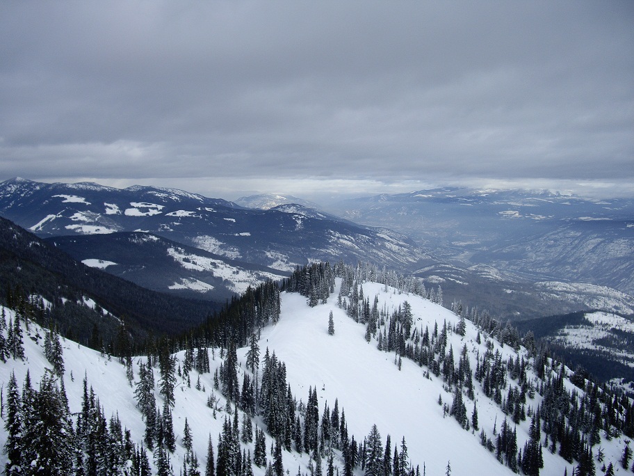
View from Motherload lift
This place is really quite lovely. You should all pop up!
Granite Mountain
Road Trip to Nelson-10
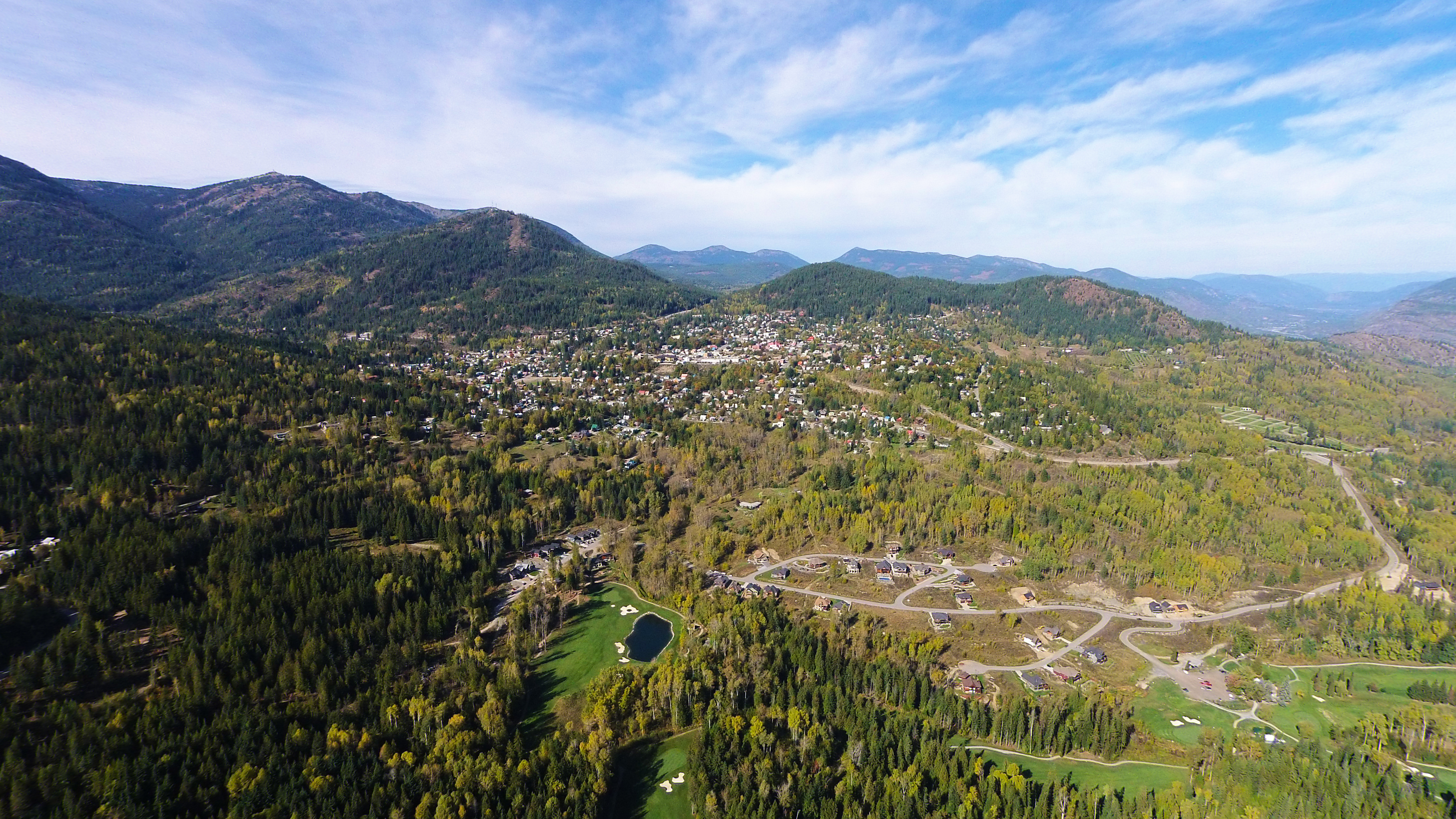
DJI00306 copy

Abandoned Marble
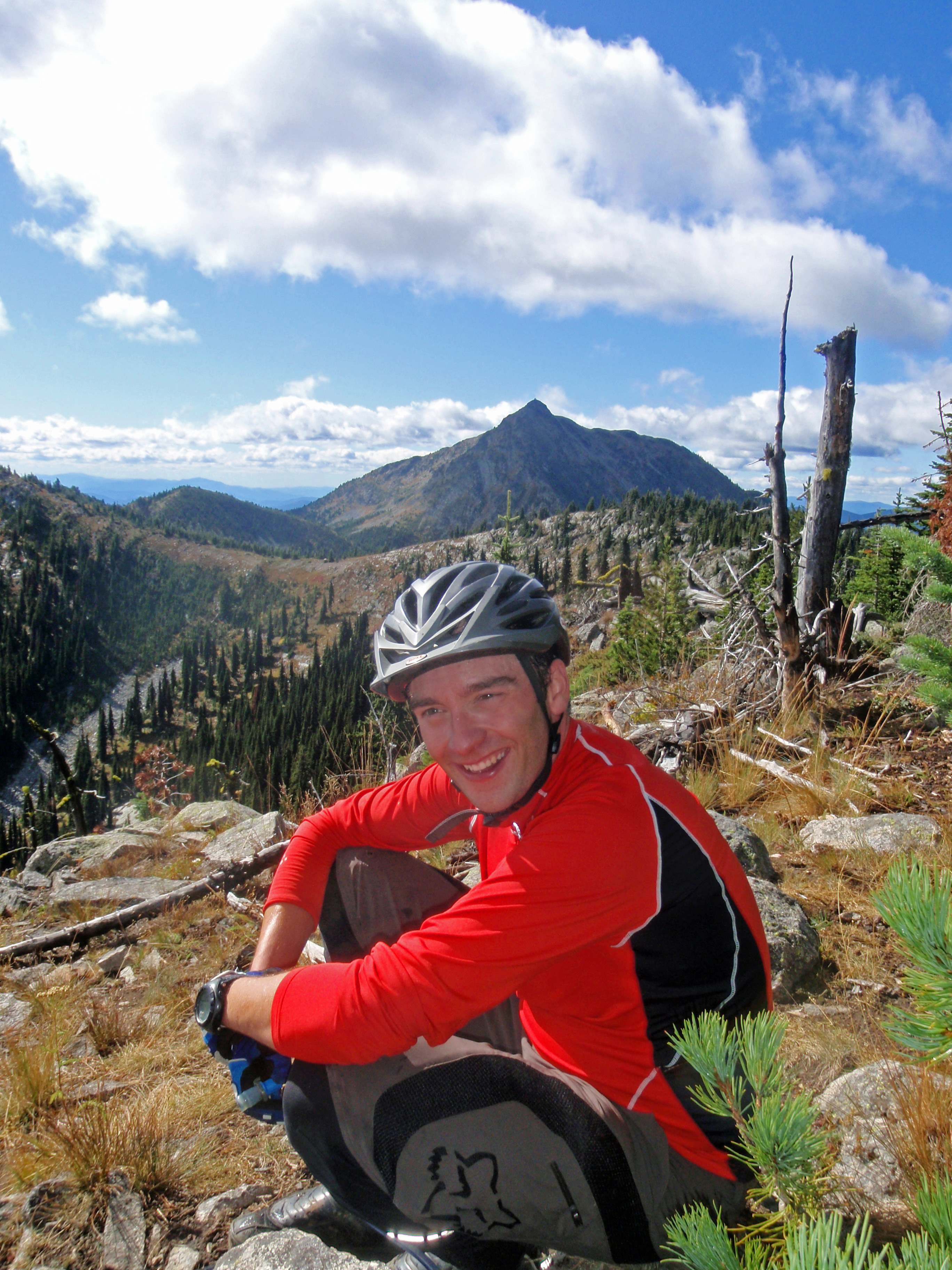
7 summits, Rossland (3)_edited-1.jpg
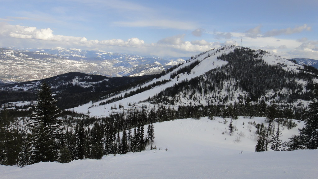
Red Mountain Road Trip
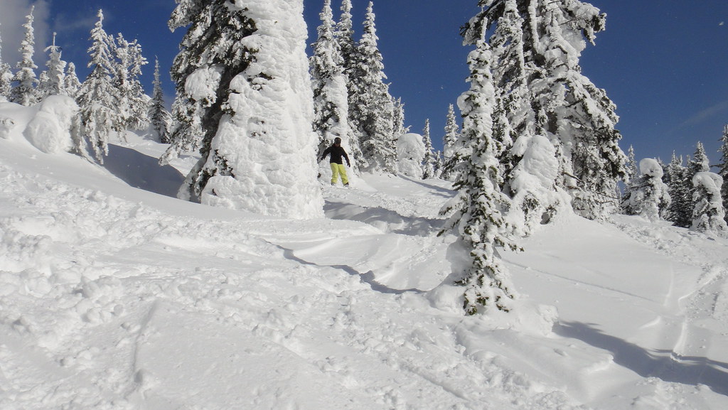
Red Mountain Road Trip
Red Mountain Road Trip
Red Mountain Road Trip
Trail, BC
Red Mountain Road Trip
Topographic Map of Black Jack Ski Club, Kootenay Boundary B, BC V1R, Canada
Find elevation by address:

Places near Black Jack Ski Club, Kootenay Boundary B, BC V1R, Canada:
Rossland
Canada Post
1741 St Paul St
Thompson Avenue
Granite Mountain
740 Redstone Drive
740 Redstone Drive
685 Redstone Drive
880 Wordsworth Ave
800 Wordsworth Ave
800 Wordsworth Ave
Warfield
648 Dickens St
Forrest Drive
205 Hillcrest Dr
Oasis
540 Wellington Ave
540 Wellington Ave
540 Wellington Ave
540 Wellington Ave
Recent Searches:
- Elevation of Bella Terra Blvd, Estero, FL, USA
- Elevation of Estates Loop, Priest River, ID, USA
- Elevation of Woodland Oak Pl, Thousand Oaks, CA, USA
- Elevation of Brownsdale Rd, Renfrew, PA, USA
- Elevation of Corcoran Ln, Suffolk, VA, USA
- Elevation of Mamala II, Sariaya, Quezon, Philippines
- Elevation of Sarangdanda, Nepal
- Elevation of 7 Waterfall Way, Tomball, TX, USA
- Elevation of SW 57th Ave, Portland, OR, USA
- Elevation of Crocker Dr, Vacaville, CA, USA