Elevation map of Chittagong, Bangladesh
Location: Bangladesh > Chittagong Division >
Longitude: 91.7538817
Latitude: 22.5150105
Elevation: 77m / 253feet
Barometric Pressure: 100KPa
Elevation Map:
Satellite Map:
Related Photos:
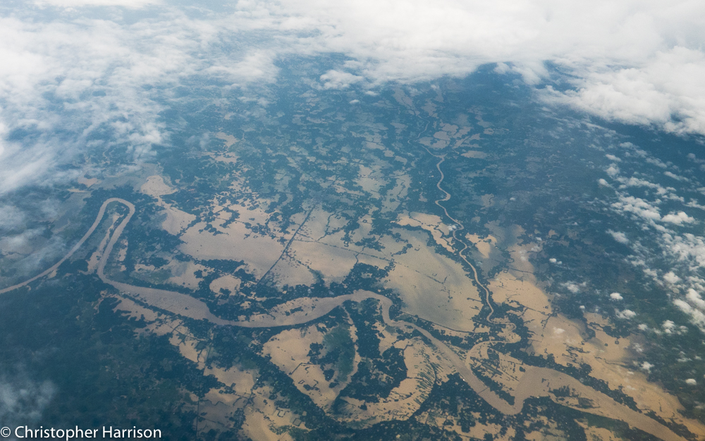
Flooding Chittagong after Typhoon2015.jpg
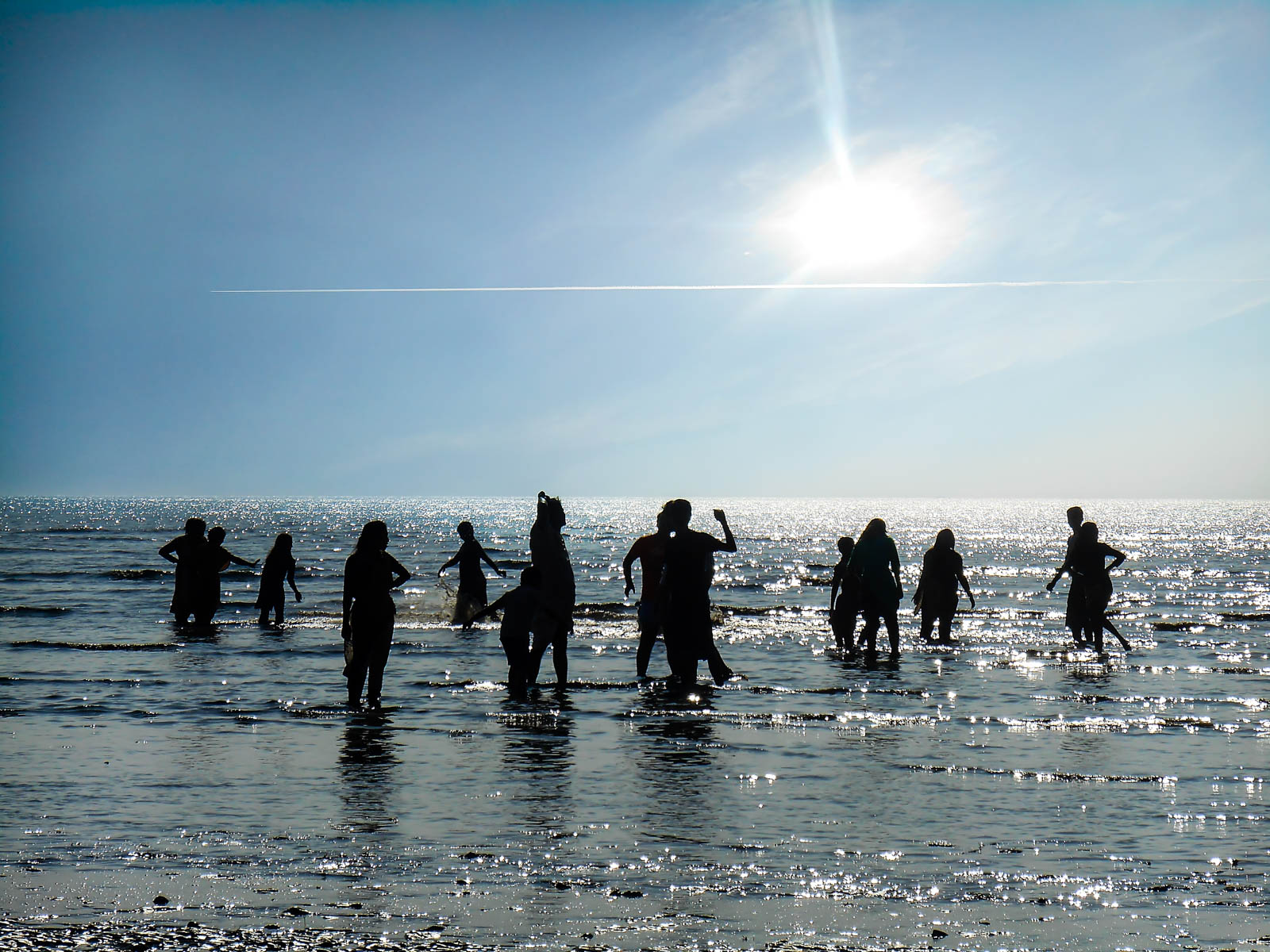
LAMI Beach-20141225 64
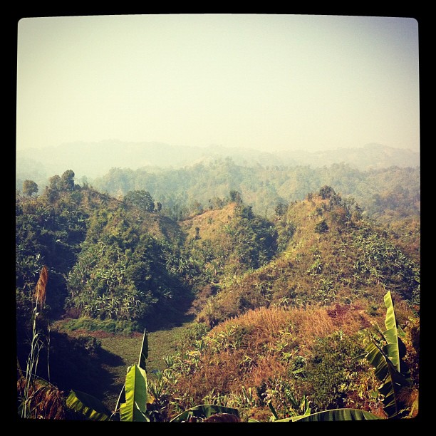
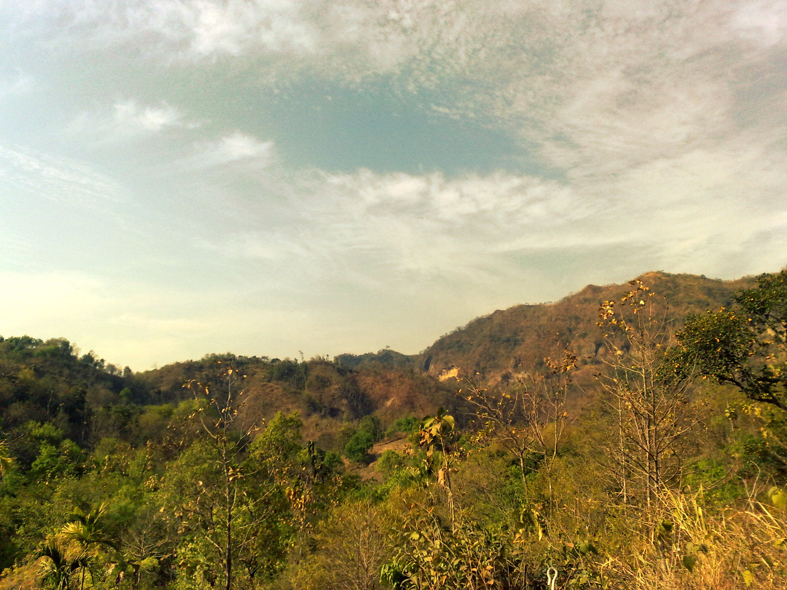
beautiful Bangladesh

Photographer at work....
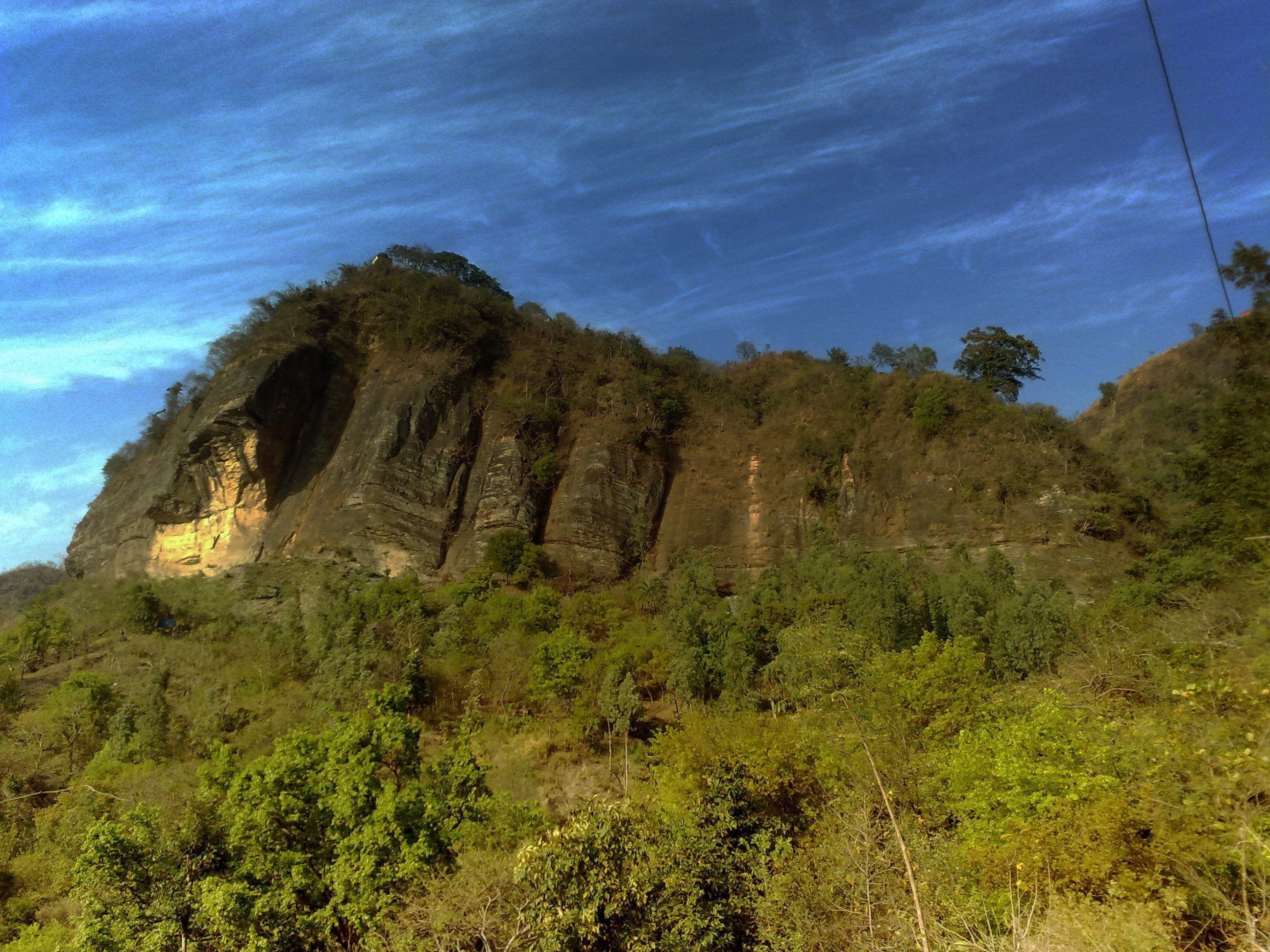
সীতাকুণ্ড
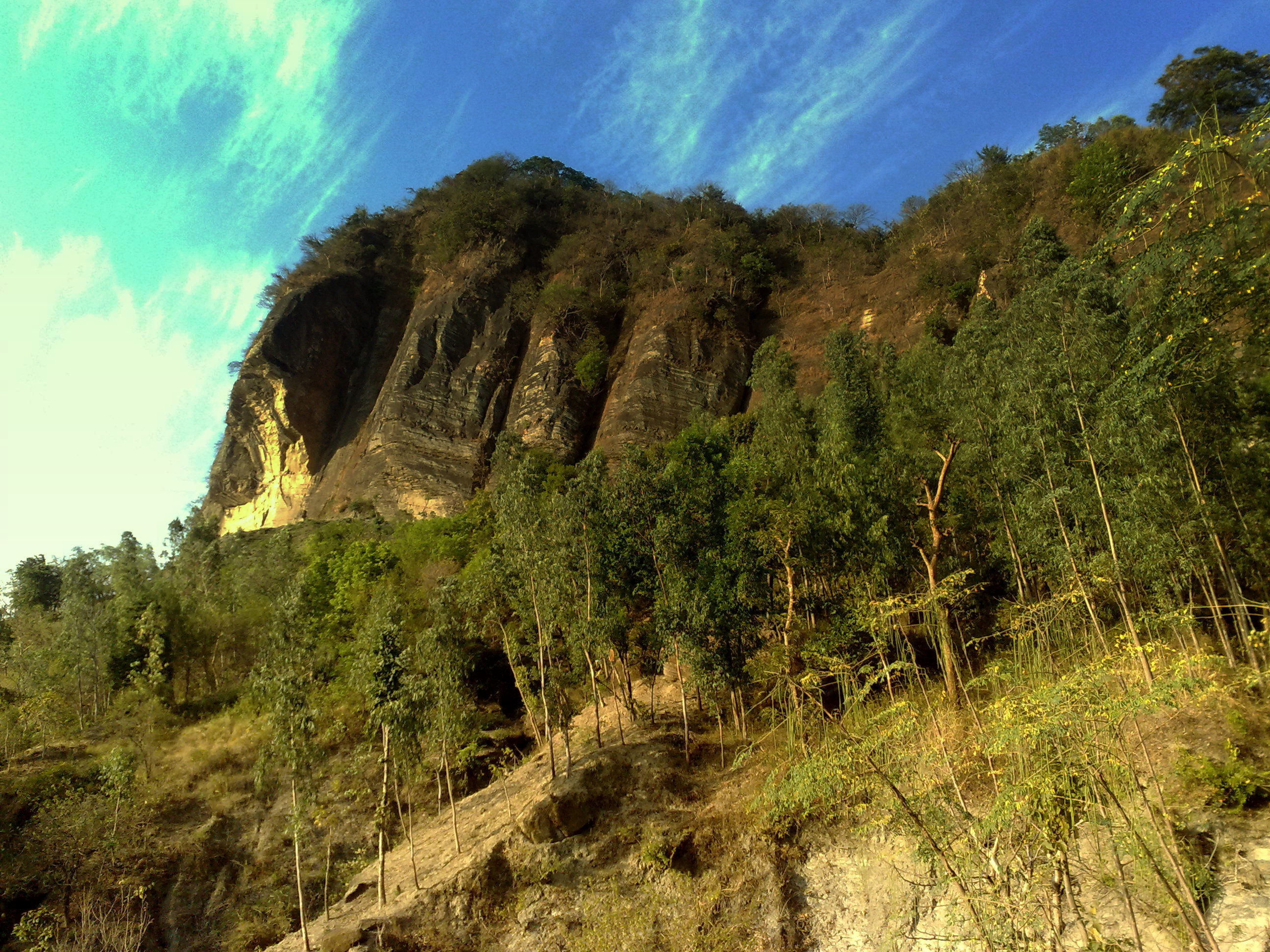
সীতাকুণ্ড
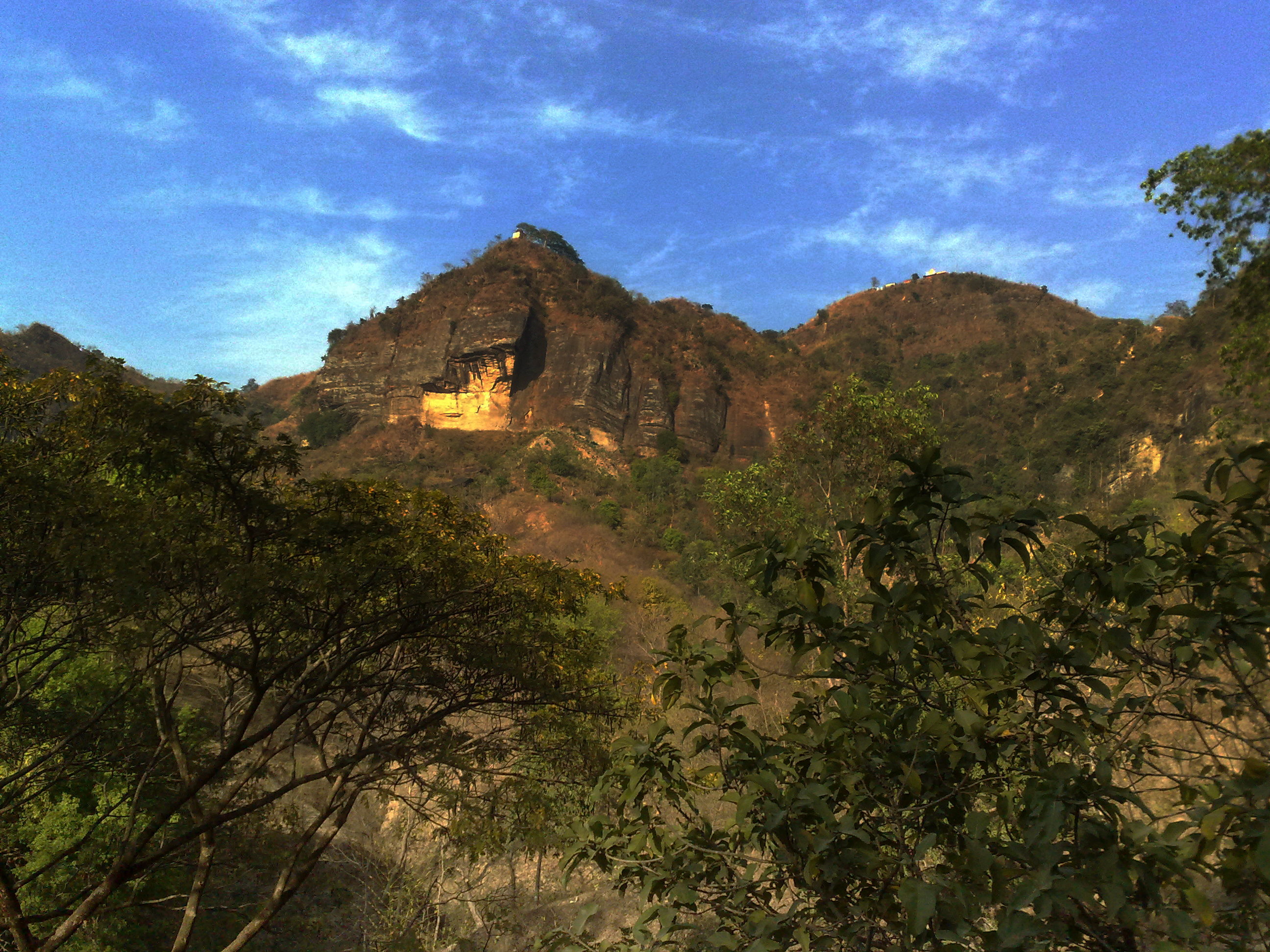
সীতাকুণ্ড

Soaked Stairs
সীতাকুণ্ড
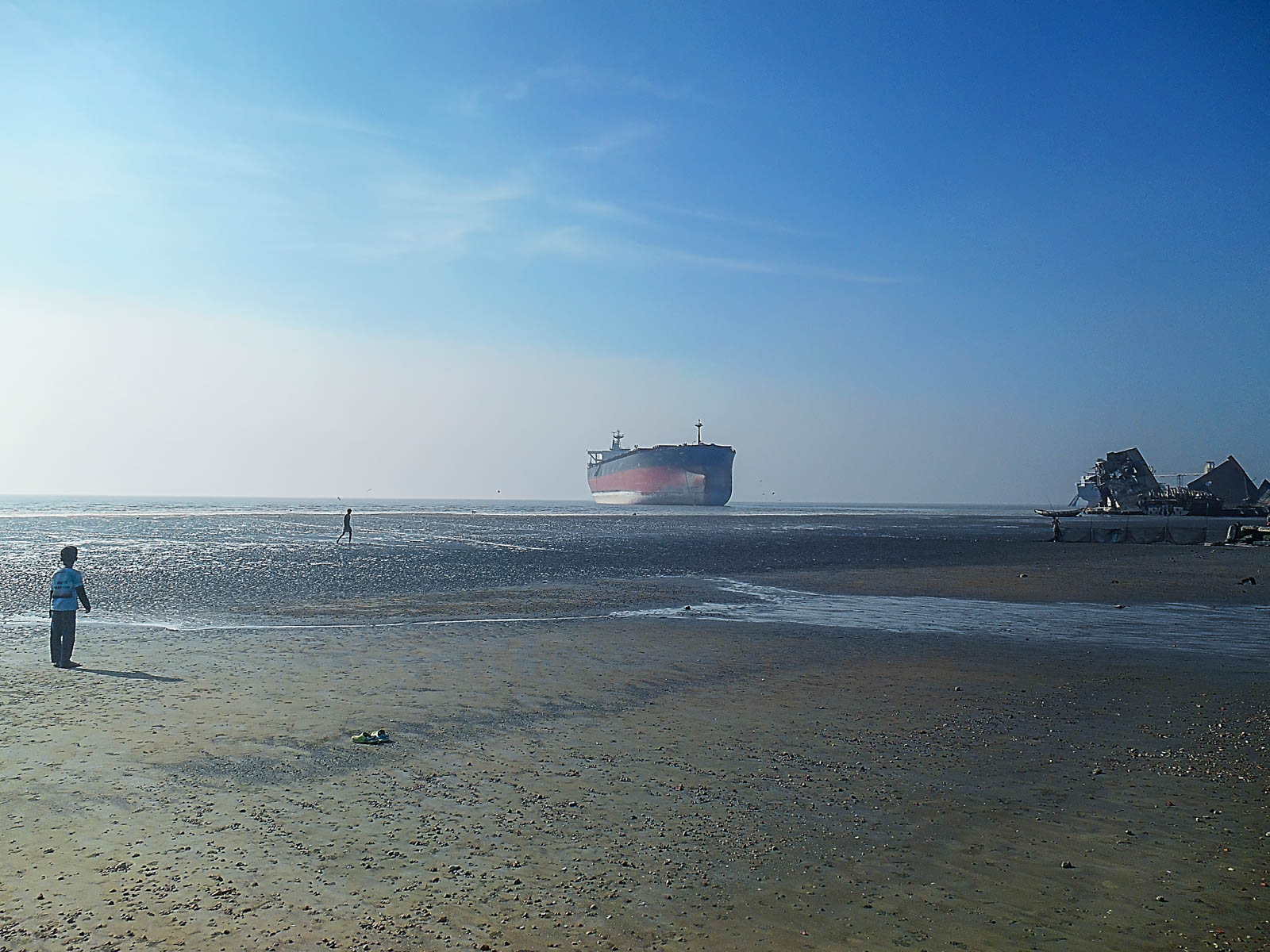
LAMI Beach-20141225 50

Misty Clouds
#green #golf #chittagong #bangladesh
Topographic Map of Chittagong, Bangladesh
Find elevation by address:

Places in Chittagong, Bangladesh:
Chittagong
Lohagara Upazila
Mirsharai
Paschim Ichhakhali
Paschim Gatiadanga
Sadaha
Kanjuri
Kanchana
Silkop
Places near Chittagong, Bangladesh:
Bortakia Bazar
Mirsharai
Chittagong Division
Mirsarai Economic Zone
Chandraghona
Paschim Ichhakhali
Sapchhari
Kaptai Kayak Club
Burighat
Janata Bank Limited
Rangamati
Rangamati Sadar Upazila
Naniarchar
Feni District
Nalua Bazar
Rajnagar
Rangamati Hill District
Kattoli Bazar
Bhasanya Adam (block)
Langadu Upazila
Recent Searches:
- Elevation of Corso Fratelli Cairoli, 35, Macerata MC, Italy
- Elevation of Tallevast Rd, Sarasota, FL, USA
- Elevation of 4th St E, Sonoma, CA, USA
- Elevation of Black Hollow Rd, Pennsdale, PA, USA
- Elevation of Oakland Ave, Williamsport, PA, USA
- Elevation of Pedrógão Grande, Portugal
- Elevation of Klee Dr, Martinsburg, WV, USA
- Elevation of Via Roma, Pieranica CR, Italy
- Elevation of Tavkvetili Mountain, Georgia
- Elevation of Hartfords Bluff Cir, Mt Pleasant, SC, USA