Elevation of Lohagara Upazila, Bangladesh
Location: Bangladesh > Chittagong Division > Chittagong >
Longitude: 92.1253854
Latitude: 22.0100869
Elevation: 18m / 59feet
Barometric Pressure: 101KPa
Elevation Map:
Satellite Map:
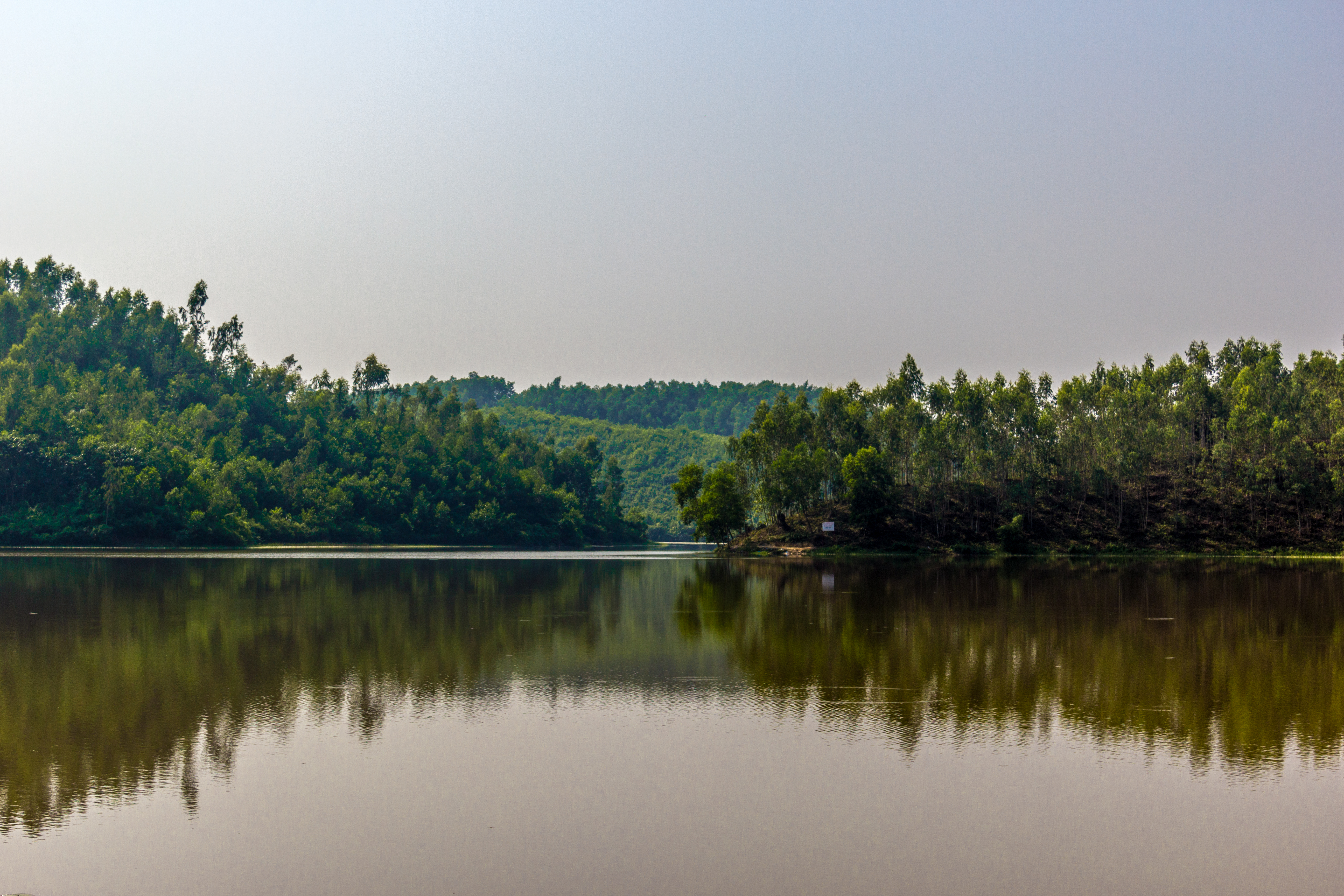
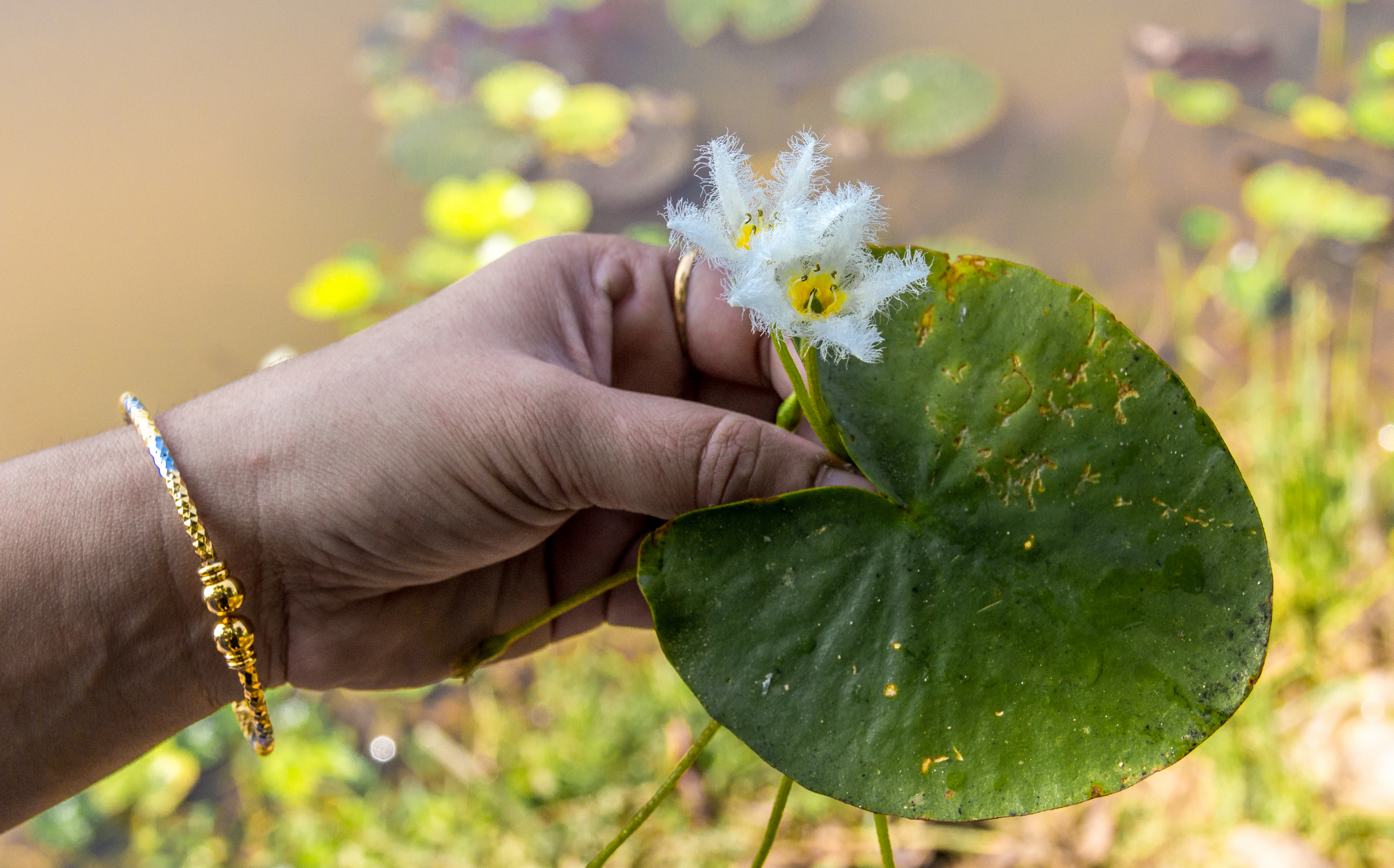
Related Photos:
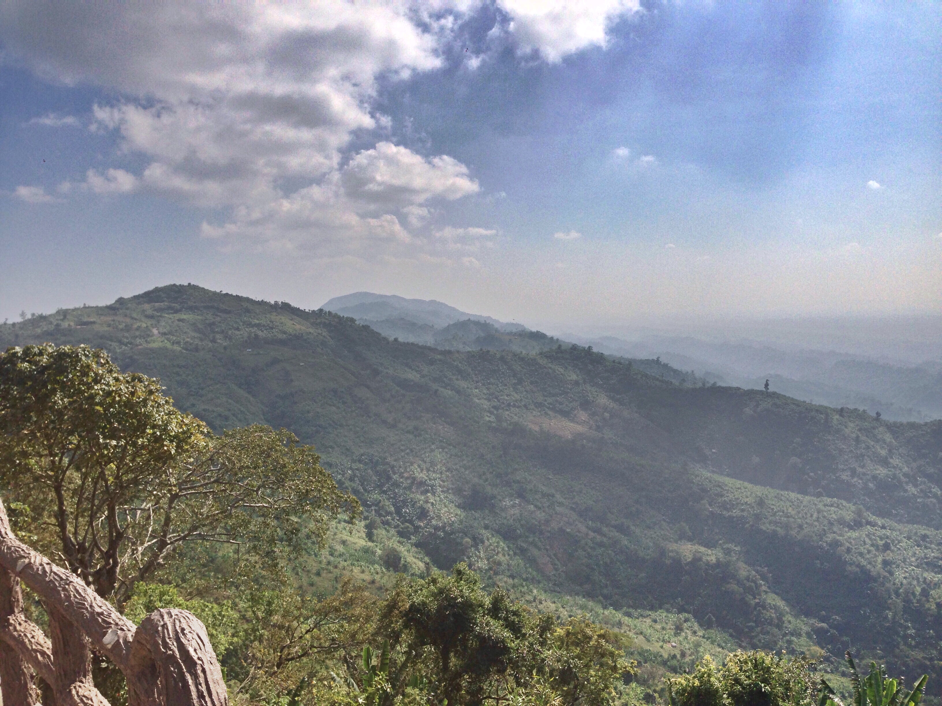
Hill view chimbuk pahar
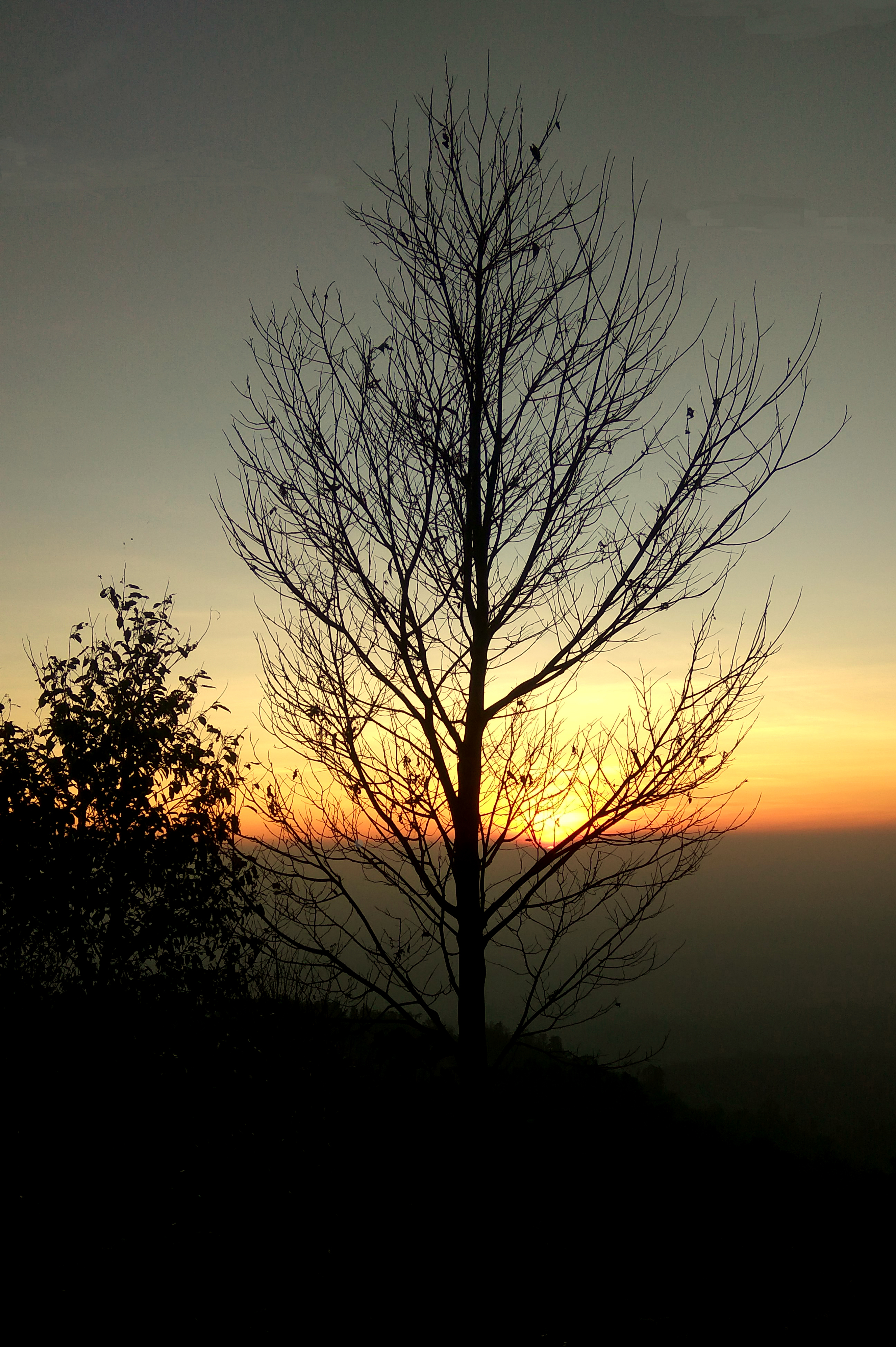
Sunset*
Bandarban (15 of 101)
Bandarban (14 of 101)
Nilgiri, Bandarban, Bangladesh- The Mountain Of Blue
Amazing sunset scenery in Chimbuk Hill
Fruit Market © 2018

This sandalwood painted little cutie is one of the great granddaughters of our beloved 'boini' from who we buy locally made rice wine in Cox's Bazar. Boini never let me leave without at least two free shots even after buying just one liter of her amazing

#sea???? #wate #hotwather????
Ya its me on silent hill ???? #bandarbantour #biketour #2016????

Child photography2

Moment of Joy

The other side.. .. #silhouette #silhouettecameo #silhouettes #people #life #beach #island #sea #seaside #seabeauty #minimal #minimalism #minimalistic #minimalist #instapic #instagood #instadaily #instalike #photoaday #photooftheday #dailyphoto #saintmart

Chittagong Dynamic City #LionsClub (Bangladesh)
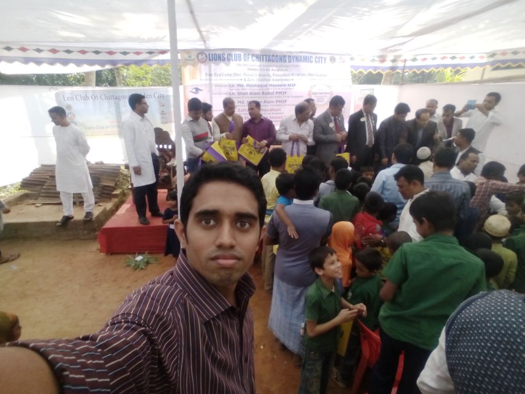
Chittagong Dynamic City #LionsClub (Bangladesh)

Chittagong Dynamic City #LionsClub (Bangladesh)
আলহামদুলিল্লাহ্! ভালভাবেই পৌছে গেছি ????
Bandarban (16 of 101)
Bandarban (18 of 101)
Bandarban (19 of 101)

Bandarban (21 of 101)
Bandarban (22 of 101)
Topographic Map of Lohagara Upazila, Bangladesh
Find elevation by address:

Places near Lohagara Upazila, Bangladesh:
Sadaha
Dakshin Hangar
Paschim Gatiadanga
Banshkhali Eco Park
Harbang
Kanchana
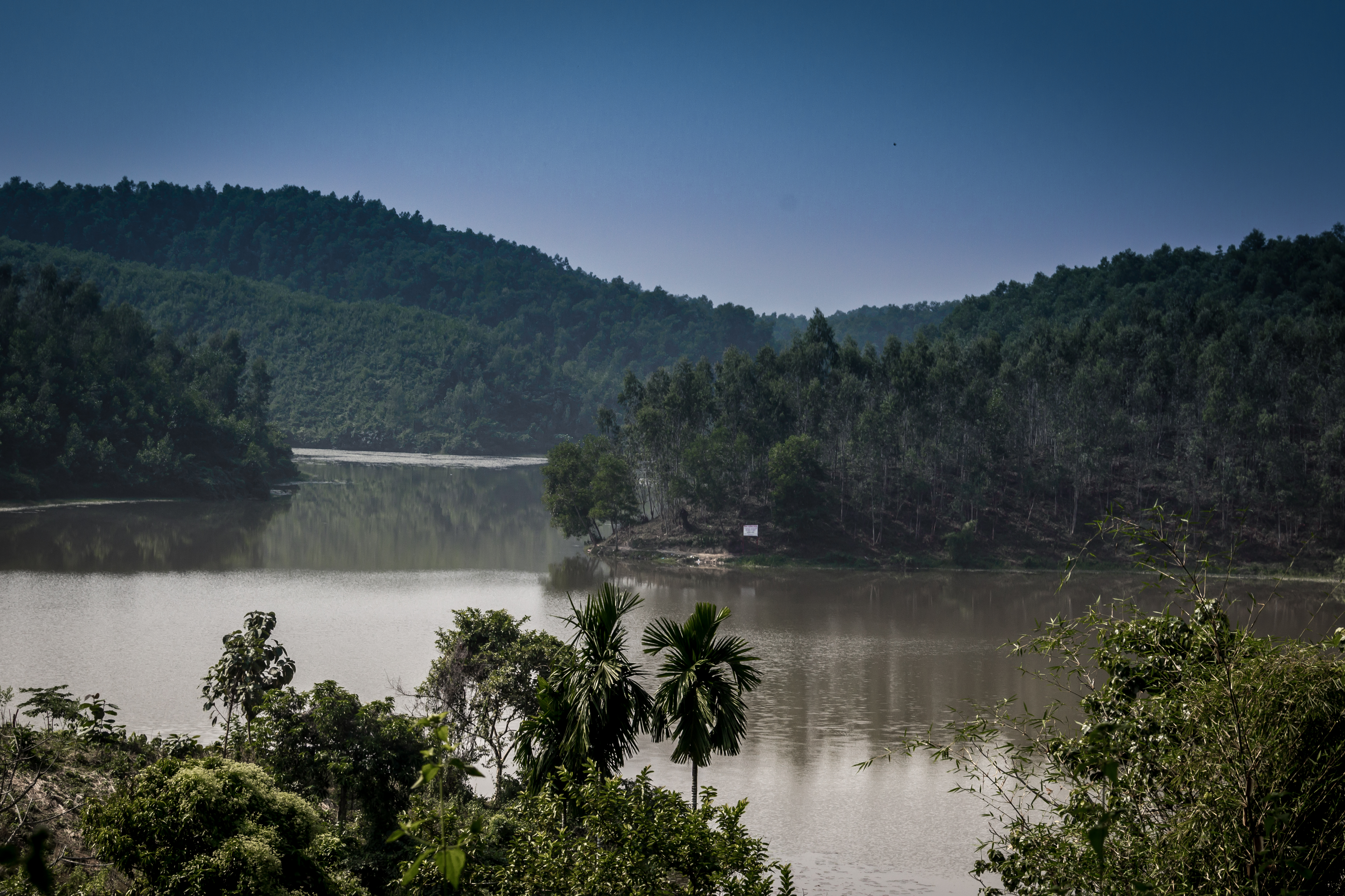
Chimbuk Hill
Murang Para
Silkop
Peak 69
Bandarban-thanchi Road
Islampur
Bandarban
Paharchanda
Nilgiri Hill Resort
Mehernama
Chakaria
Lama Upazila
Bandarban Sadar Upazila
Ruma
Recent Searches:
- Elevation of Felindre, Swansea SA5 7LU, UK
- Elevation of Leyte Industrial Development Estate, Isabel, Leyte, Philippines
- Elevation of W Granada St, Tampa, FL, USA
- Elevation of Pykes Down, Ivybridge PL21 0BY, UK
- Elevation of Jalan Senandin, Lutong, Miri, Sarawak, Malaysia
- Elevation of Bilohirs'k
- Elevation of 30 Oak Lawn Dr, Barkhamsted, CT, USA
- Elevation of Luther Road, Luther Rd, Auburn, CA, USA
- Elevation of Unnamed Road, Respublika Severnaya Osetiya — Alaniya, Russia
- Elevation of Verkhny Fiagdon, North Ossetia–Alania Republic, Russia