Elevation of Chiriguana, Cesar, Colombia
Location: Colombia > Cesar > Chiriguaná >
Longitude: -73.564432
Latitude: 9.3859682
Elevation: 39m / 128feet
Barometric Pressure: 101KPa
Elevation Map:
Satellite Map:
Related Photos:
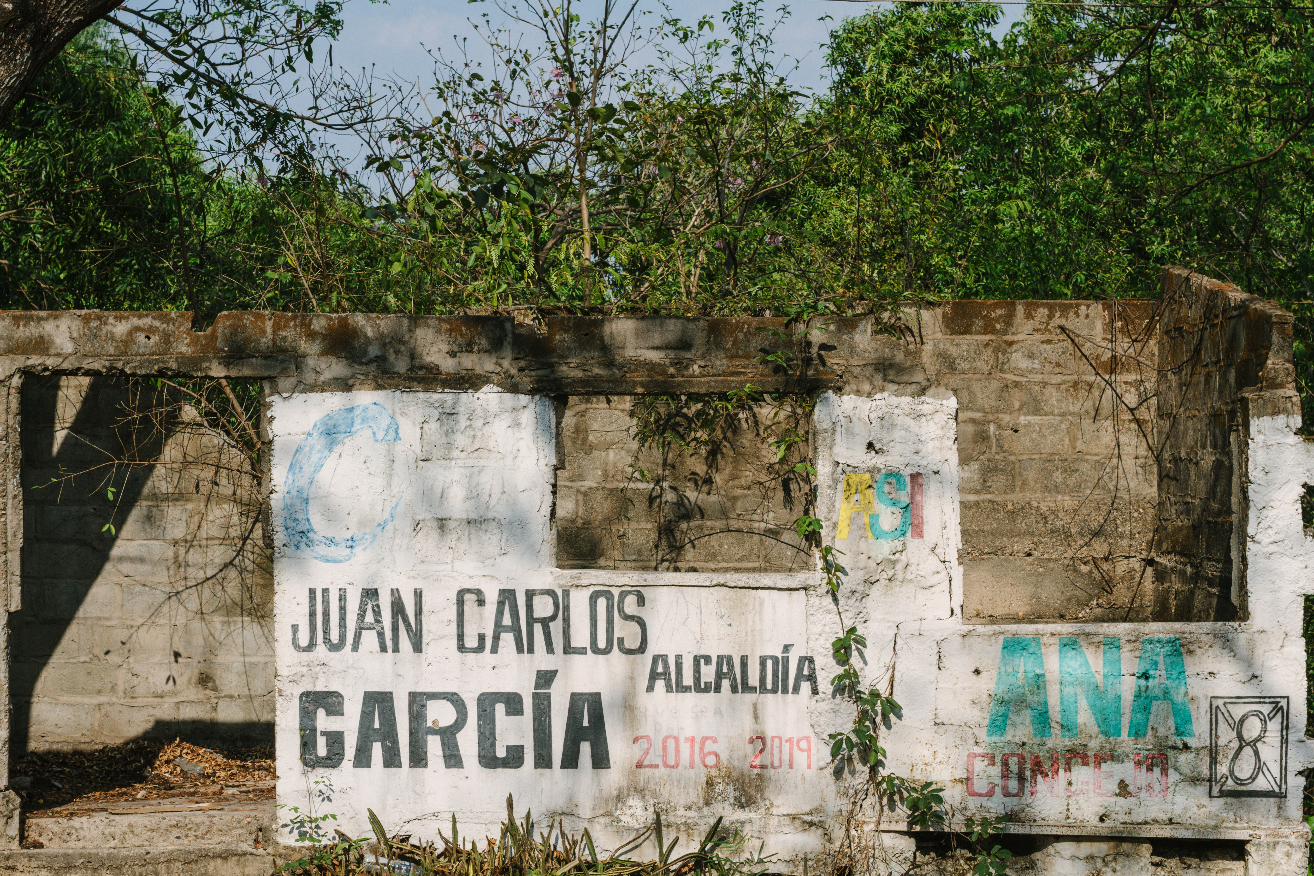
Vacant Tomb, Chiriguaná Colombia
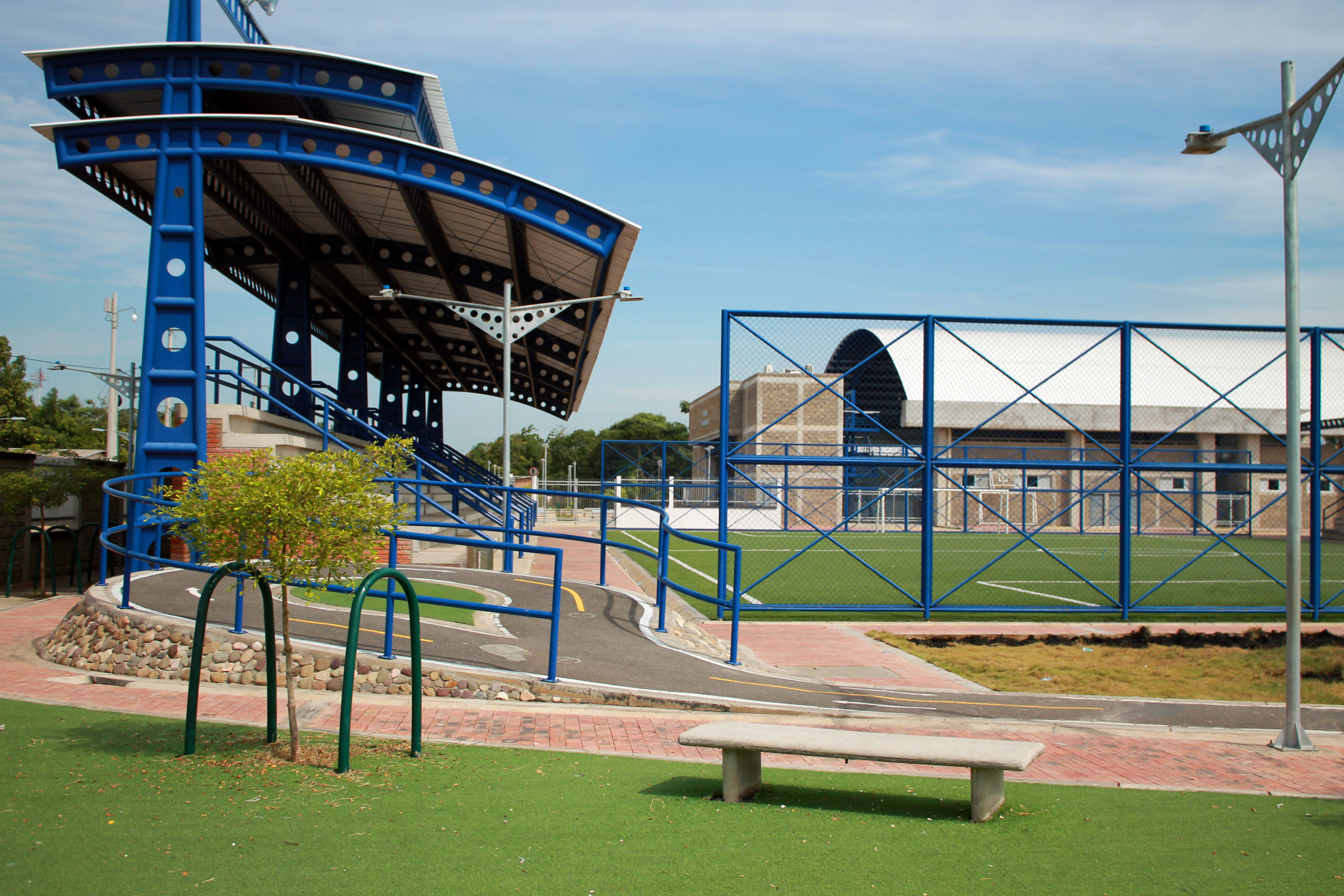
Villa olimpica
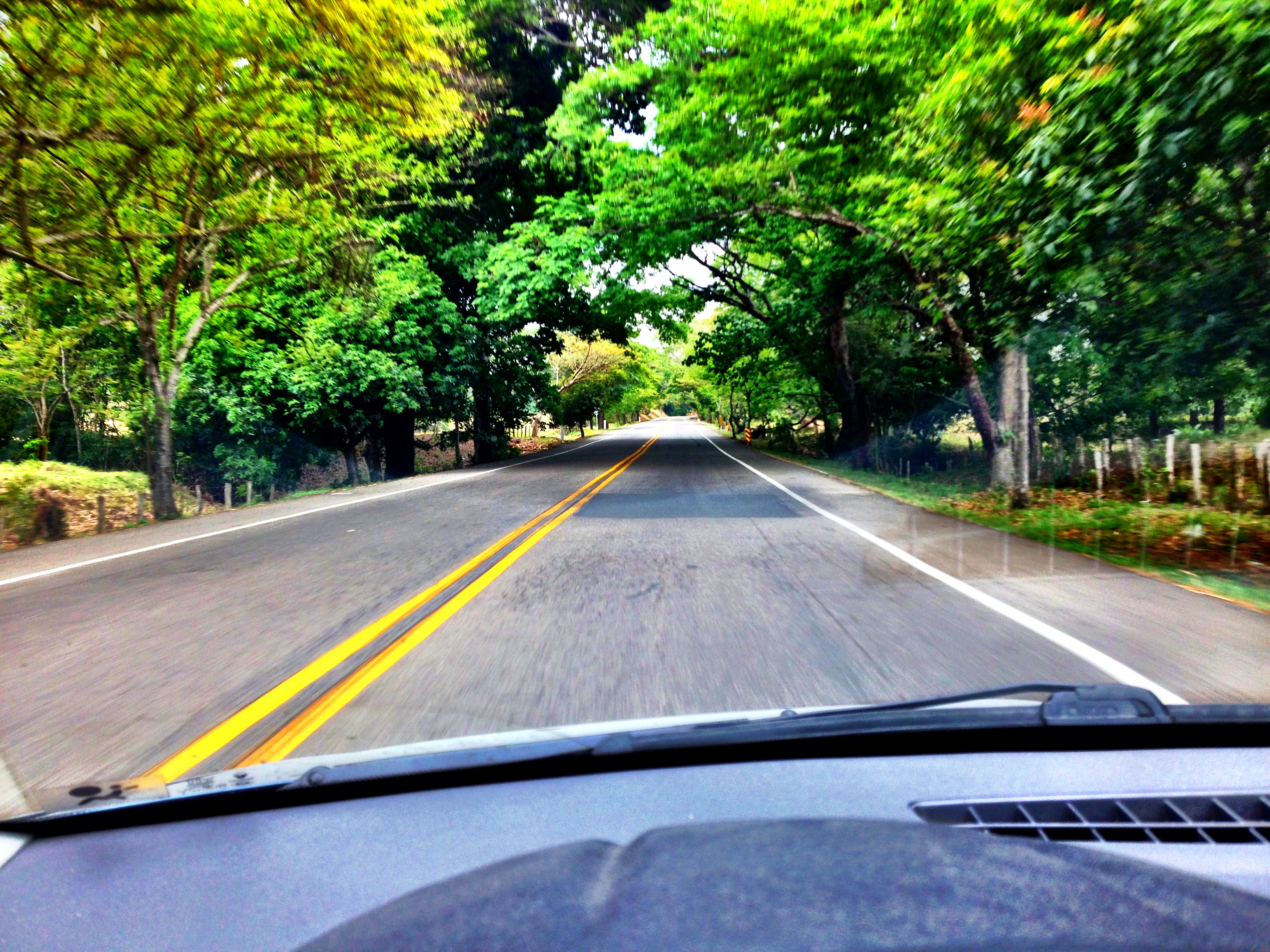
Open highway

Panorama of Ant Hill Colonies, Chiriguana Colombia

Branded Cattle, Arenas Blancas Colombia
Topographic Map of Chiriguana, Cesar, Colombia
Find elevation by address:

Places near Chiriguana, Cesar, Colombia:
Recent Searches:
- Elevation of Leguwa, Nepal
- Elevation of County Rd, Enterprise, AL, USA
- Elevation of Kolchuginsky District, Vladimir Oblast, Russia
- Elevation of Shustino, Vladimir Oblast, Russia
- Elevation of Lampiasi St, Sarasota, FL, USA
- Elevation of Elwyn Dr, Roanoke Rapids, NC, USA
- Elevation of Congressional Dr, Stevensville, MD, USA
- Elevation of Bellview Rd, McLean, VA, USA
- Elevation of Stage Island Rd, Chatham, MA, USA
- Elevation of Shibuya Scramble Crossing, 21 Udagawacho, Shibuya City, Tokyo -, Japan