Elevation of Chiriguaná, Cesar, Colombia
Location: Colombia > Cesar >
Longitude: -73.5997
Latitude: 9.361464
Elevation: 34m / 112feet
Barometric Pressure: 101KPa
Elevation Map:
Satellite Map:
Related Photos:

La Loma Cesar

Vacant Tomb, Chiriguaná Colombia
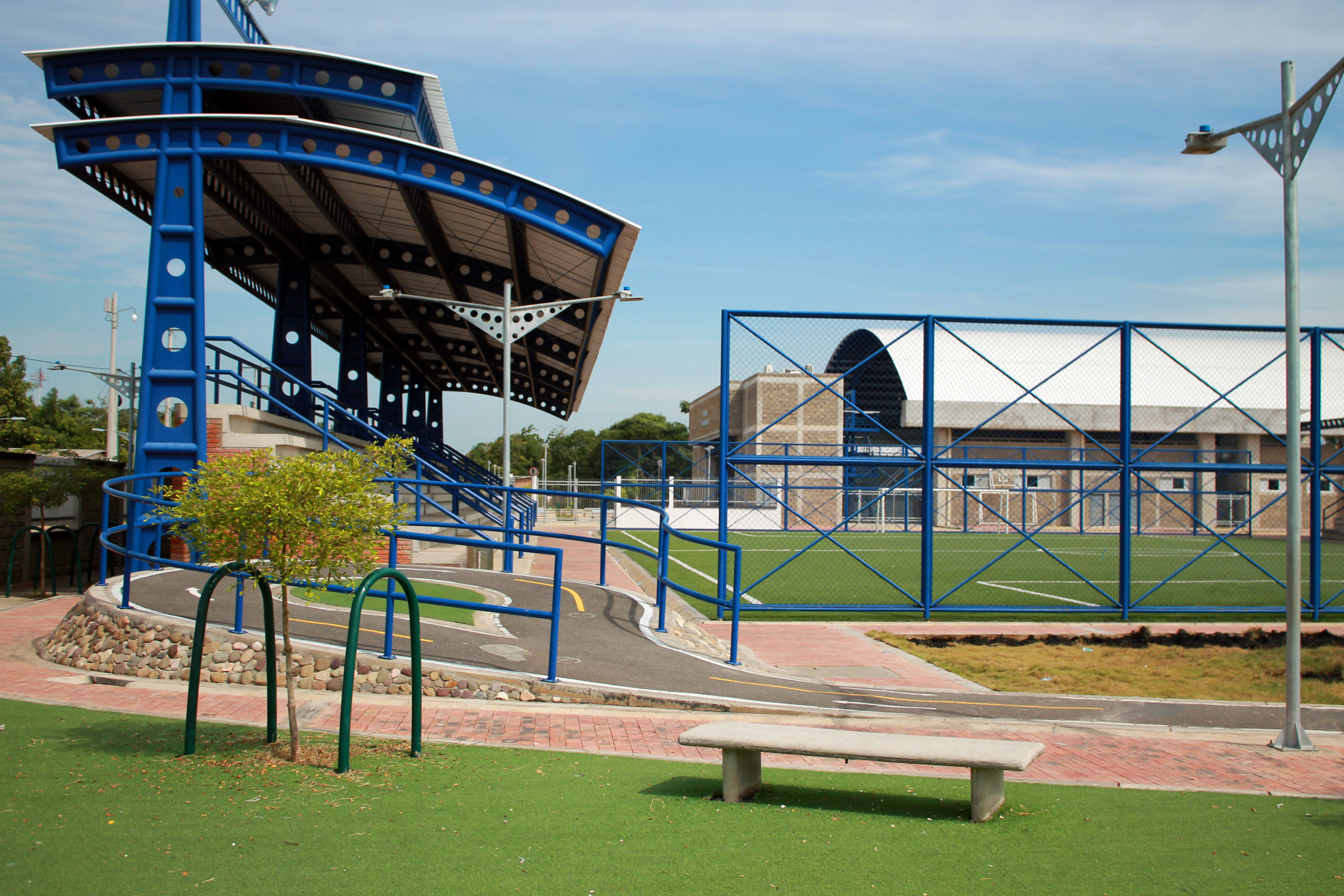
Villa olimpica

Open highway
Topographic Map of Chiriguaná, Cesar, Colombia
Find elevation by address:

Places in Chiriguaná, Cesar, Colombia:
Places near Chiriguaná, Cesar, Colombia:
Recent Searches:
- Elevation of Beall Road, Beall Rd, Florida, USA
- Elevation of Leguwa, Nepal
- Elevation of County Rd, Enterprise, AL, USA
- Elevation of Kolchuginsky District, Vladimir Oblast, Russia
- Elevation of Shustino, Vladimir Oblast, Russia
- Elevation of Lampiasi St, Sarasota, FL, USA
- Elevation of Elwyn Dr, Roanoke Rapids, NC, USA
- Elevation of Congressional Dr, Stevensville, MD, USA
- Elevation of Bellview Rd, McLean, VA, USA
- Elevation of Stage Island Rd, Chatham, MA, USA