Elevation of Chikopi Rd, Magnetawan, ON P0A 1P0, Canada
Location: Canada > Ontario > Parry Sound District > Magnetawan > Magnetawan >
Longitude: -79.712624
Latitude: 45.6549802
Elevation: 281m / 922feet
Barometric Pressure: 98KPa
Elevation Map:
Satellite Map:
Related Photos:

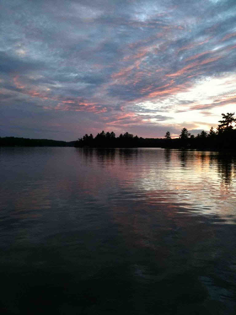
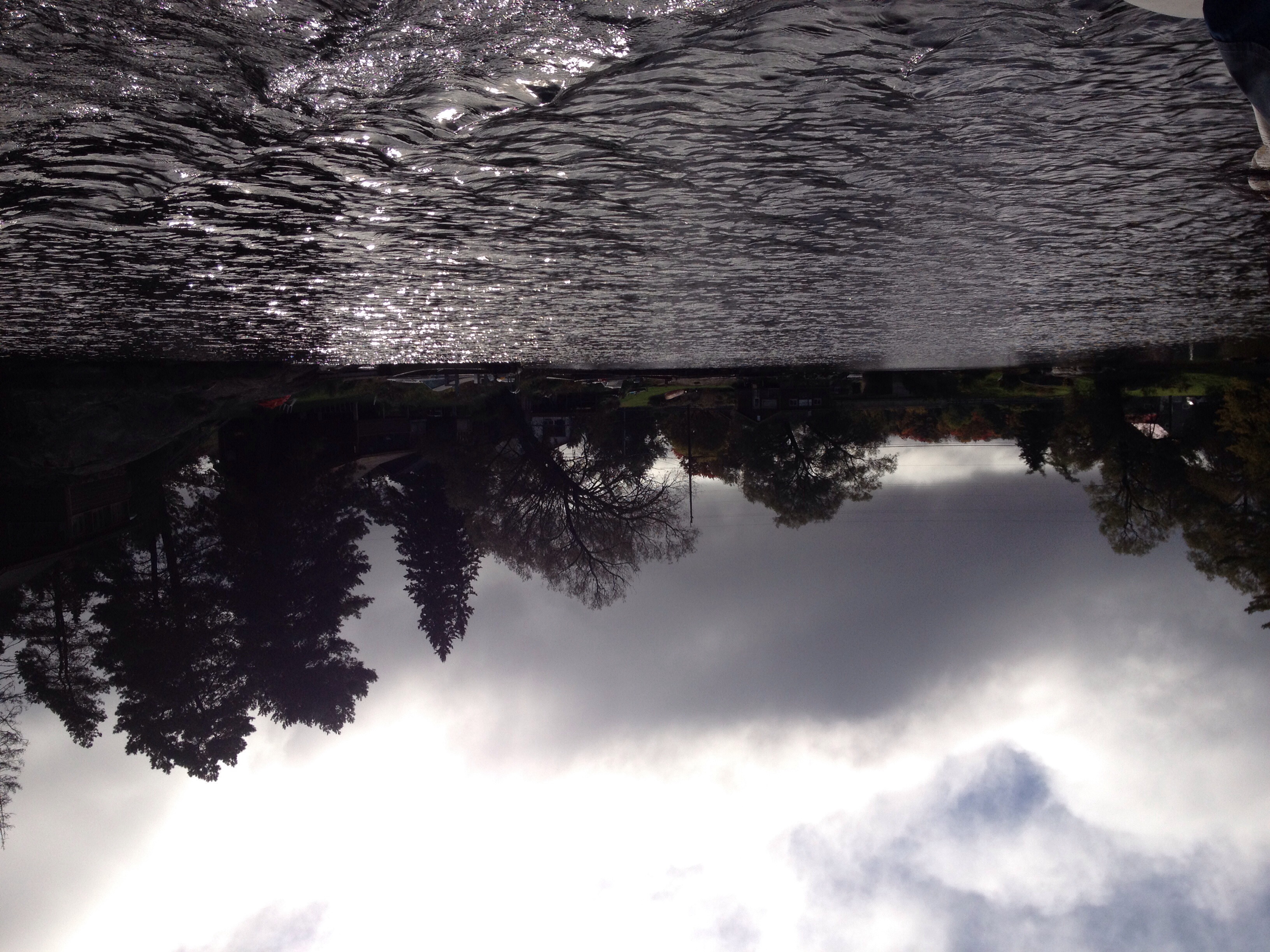
Sunset Pano

Sunset on Whitestone

Heavy on Whitestone

Irene @ Heavy's Cottage

Waiting For Kermit

Fishing at Sunset
Camera Plus

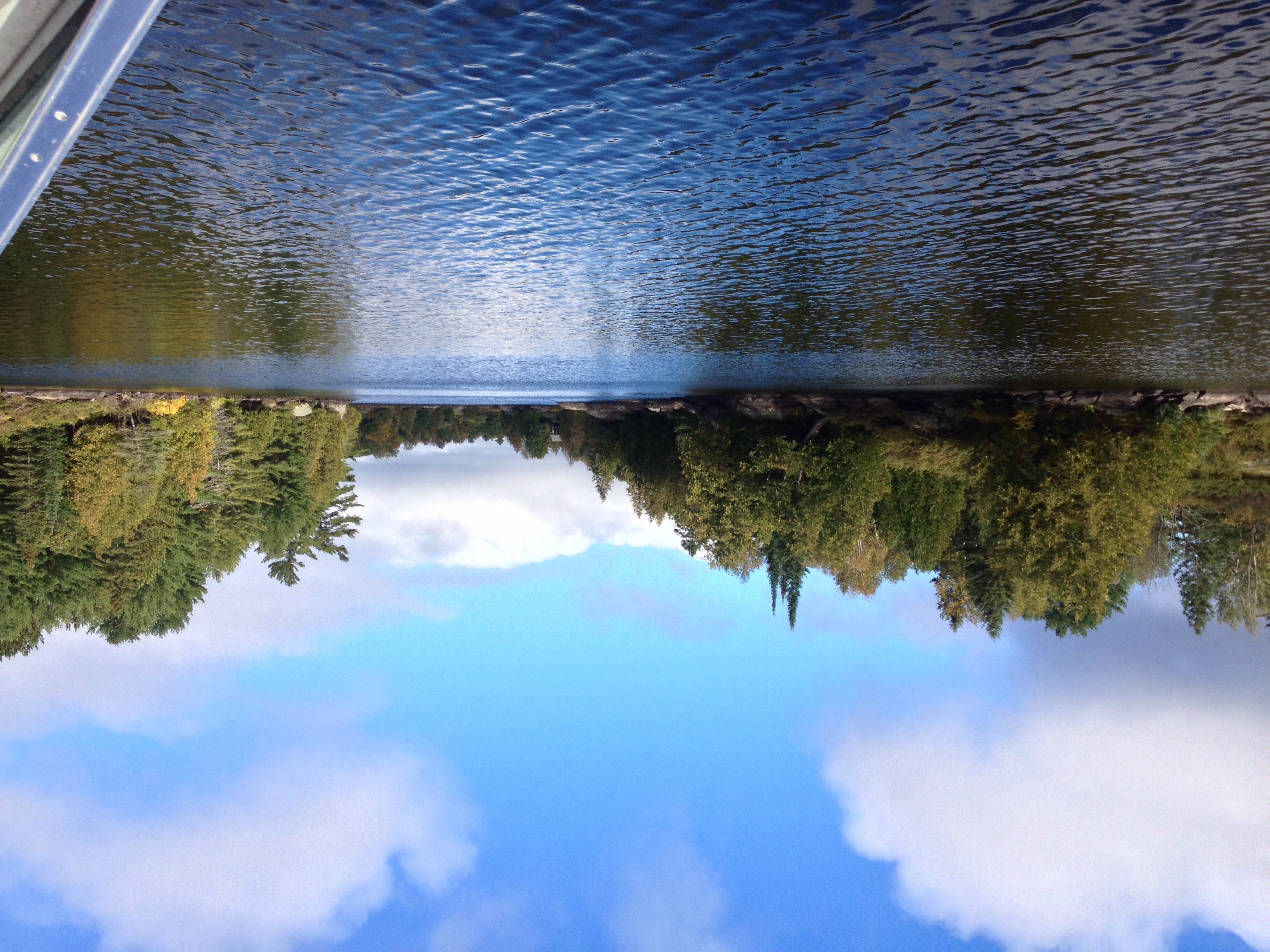
Autumn Road

In the Forest

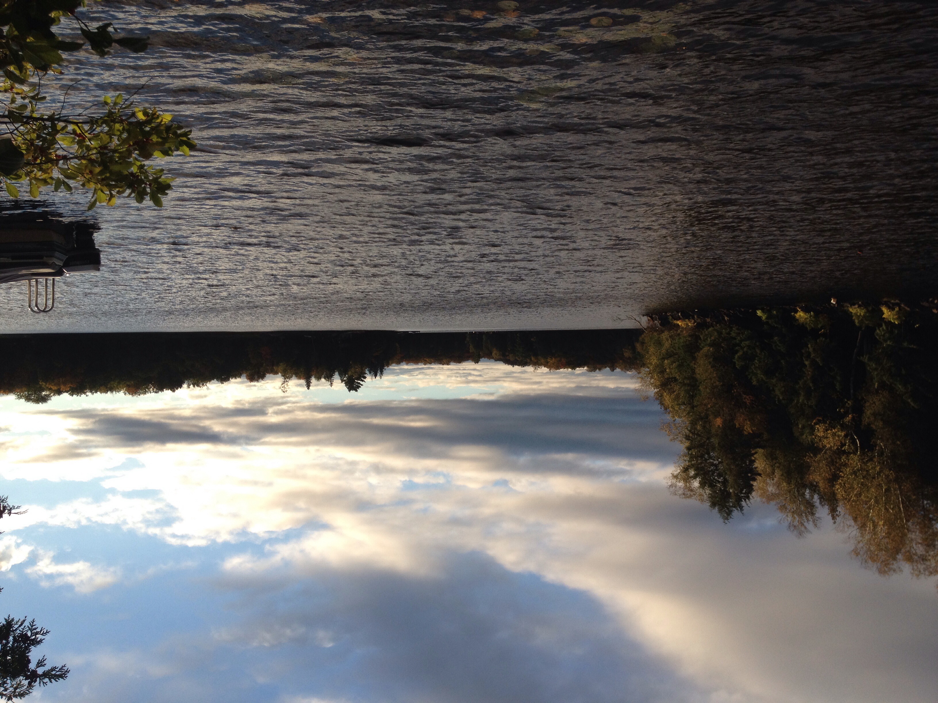
Fall 2011
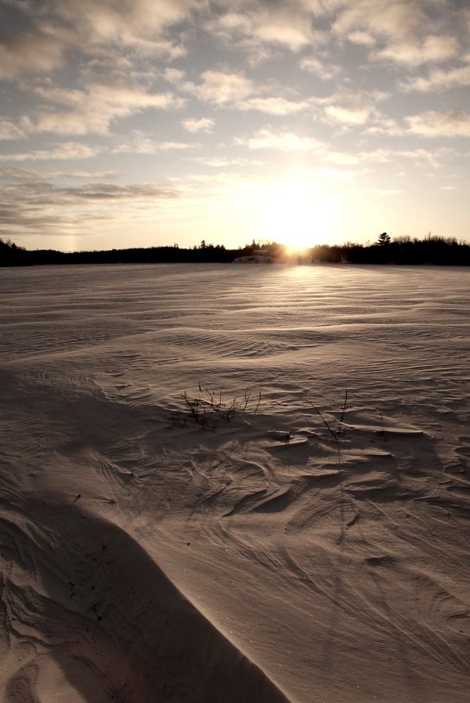
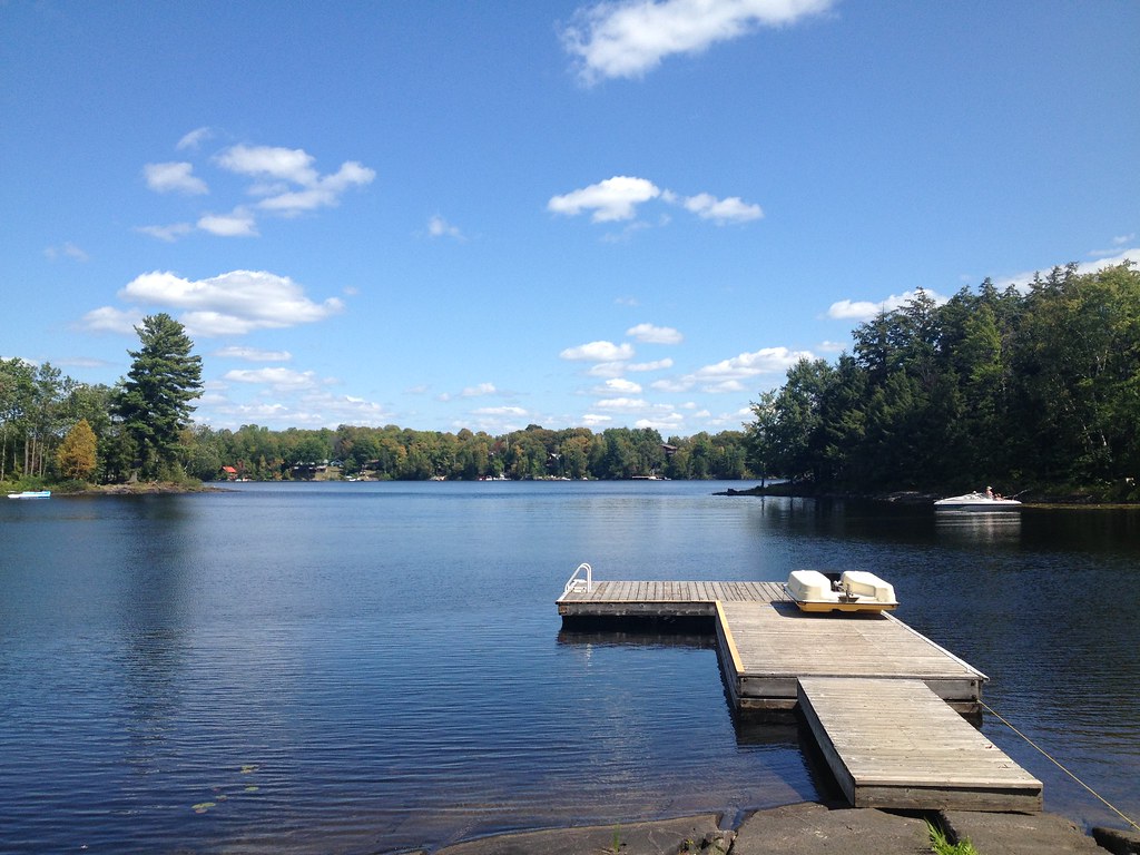
Winter at the Cottage
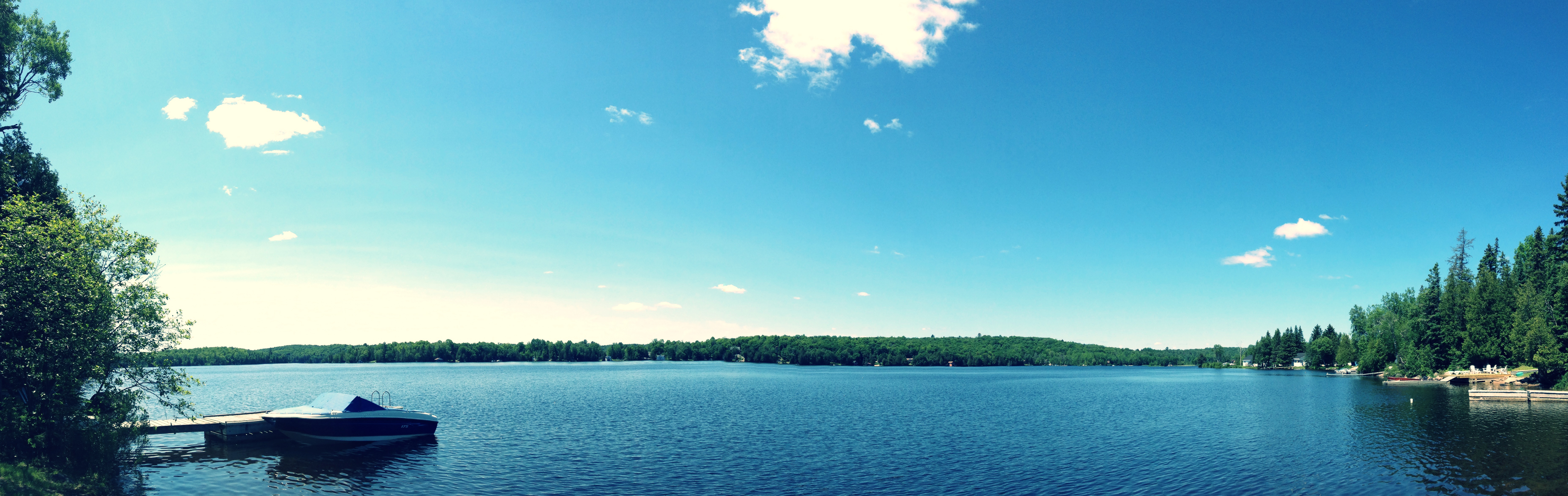
Sunny Days at the Cottage
Kowalchuks' Cottage
Kowalchuks' Cottage
Kowalchuks' Cottage
Cottage Country
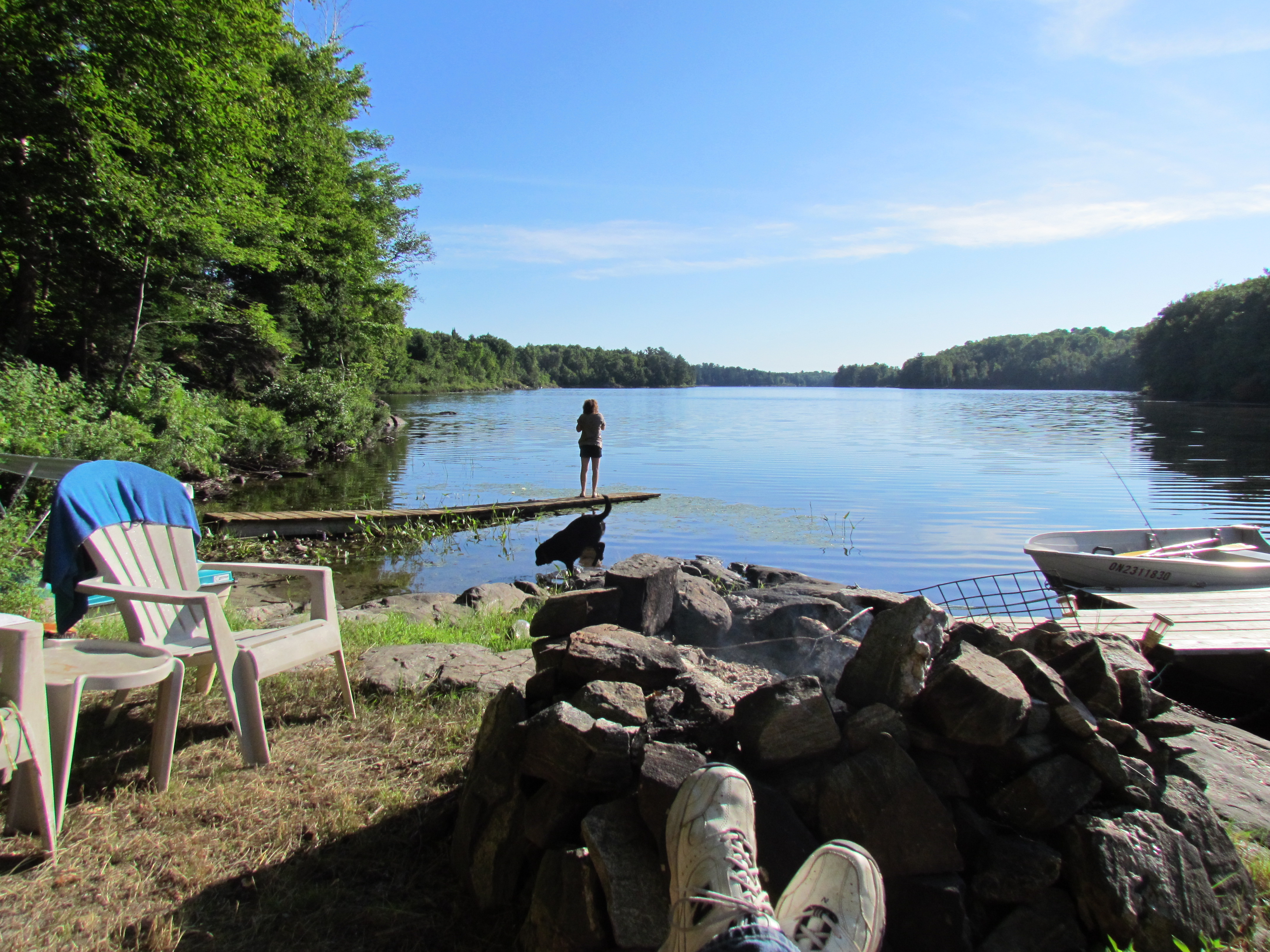
Weekend at the Cabin
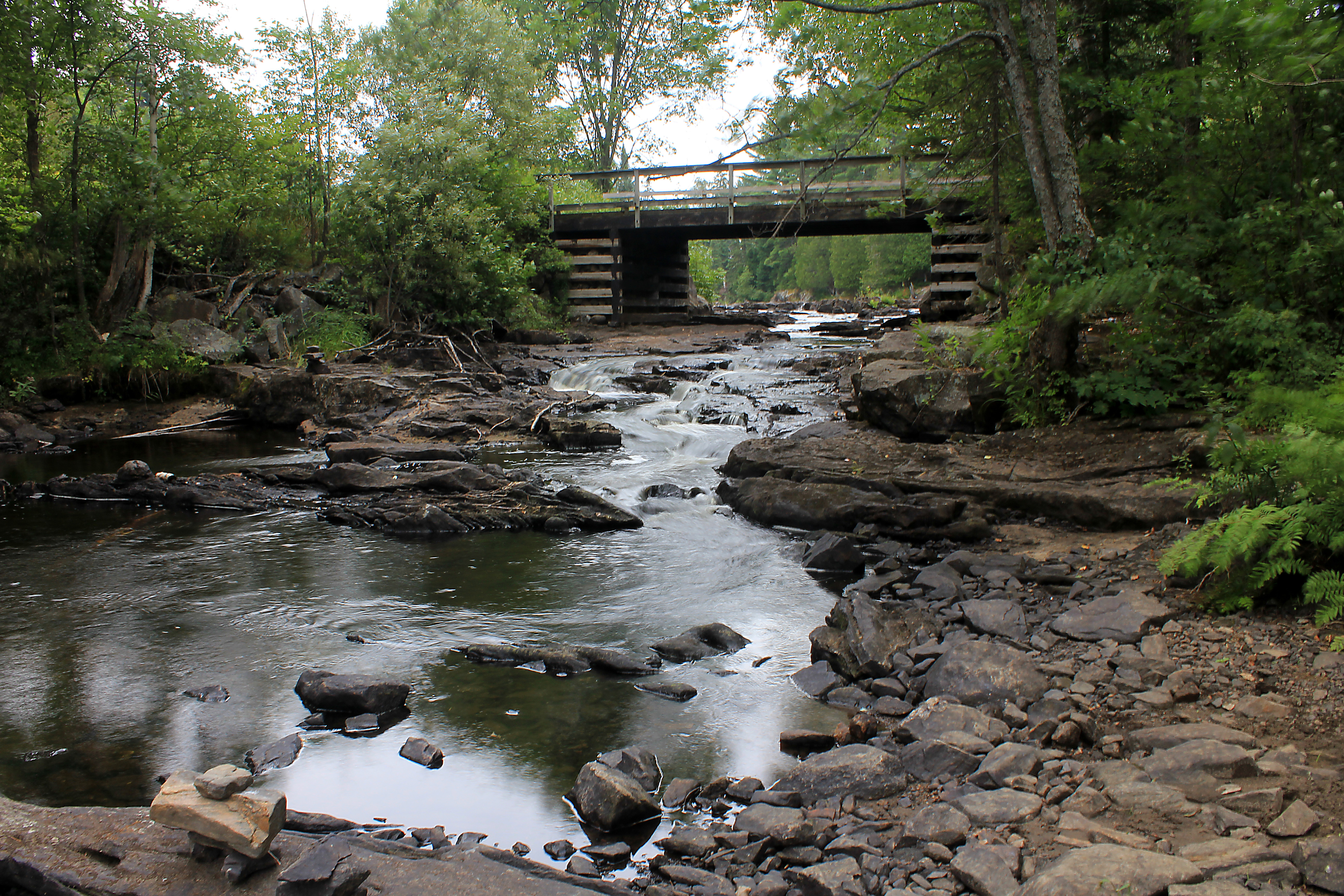
Cody Rapids Portage
Topographic Map of Chikopi Rd, Magnetawan, ON P0A 1P0, Canada
Find elevation by address:

Places near Chikopi Rd, Magnetawan, ON P0A 1P0, Canada:
Gordon Point Rd, Magnetawan, ON P0A 1P0, Canada
26 Newell Lake Rd, Magnetawan, ON P0A 1P0, Canada
Magnetawan
127 Jackson's Rd
43 Magnet Rd
Magnetawan
Miller Road
1091 Miller Rd
1091 Miller Rd
Dunchurch
Orange Valley Rd, Magnetawan, ON P0A 1P0, Canada
494 Canning Rd
ON-, Burk's Falls, ON P0A 1C0, Canada
38 Sugar Bush Rd E
Bear Lake
40 Lower Frys Rd
53 Weaver Point, Whitestone, ON P0G, Canada
129 Sugar Lake Rd
Whitestone
Whitestone
Recent Searches:
- Elevation of Corso Fratelli Cairoli, 35, Macerata MC, Italy
- Elevation of Tallevast Rd, Sarasota, FL, USA
- Elevation of 4th St E, Sonoma, CA, USA
- Elevation of Black Hollow Rd, Pennsdale, PA, USA
- Elevation of Oakland Ave, Williamsport, PA, USA
- Elevation of Pedrógão Grande, Portugal
- Elevation of Klee Dr, Martinsburg, WV, USA
- Elevation of Via Roma, Pieranica CR, Italy
- Elevation of Tavkvetili Mountain, Georgia
- Elevation of Hartfords Bluff Cir, Mt Pleasant, SC, USA