Elevation of Chestnut St, Athol, MA, USA
Location: United States > Massachusetts > Worcester County > Athol >
Longitude: -72.217525
Latitude: 42.589535
Elevation: 231m / 758feet
Barometric Pressure: 99KPa
Elevation Map:
Satellite Map:
Related Photos:

Doane's Falls (Spring Break!)

Pond View

water music

Corner View

View Over the Bench Vertorama

Ghost Window

2017-10-19 07.03.29

Royalston Falls Again

Black bellied Plovers

Black bellied Plovers

Royalston Falls

Black bellied Plovers with Dunlin

Bear's Den

Black bellied Plovers

Black bellied Plovers

Black bellied Plovers

The Calmness of the Lake

Ant's View of Lichens

Usher Paper Mill
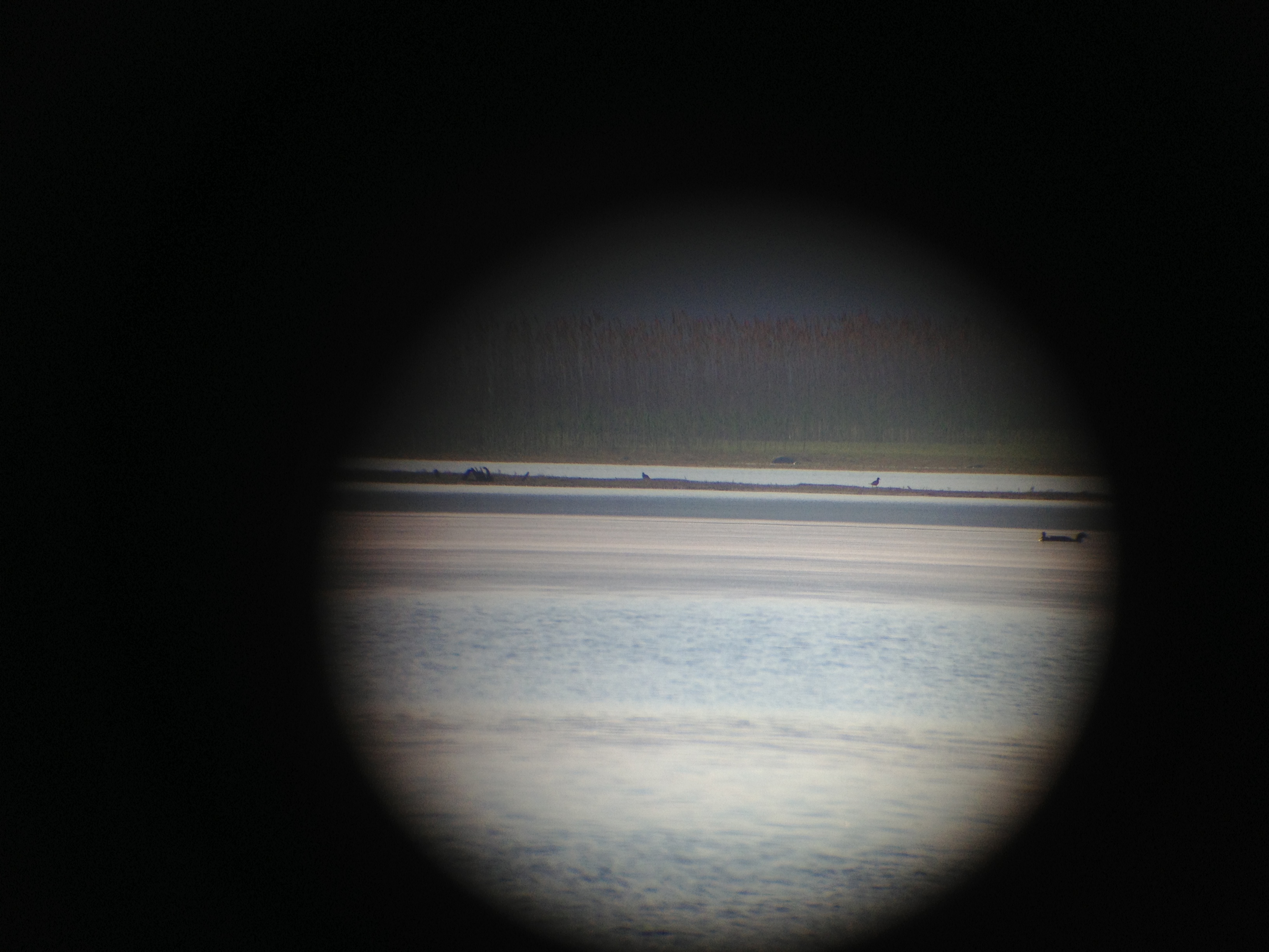
Black bellied Plovers

Black bellied Plovers

Harvard Pond, Western Massachusetts

All That Glitters

Harvard Pond #2

Dark River

Road to Sunrise

When the earth was young.

Hermit Thrush

Ice 1

Icy Trail Vertorama

Sunset after storm
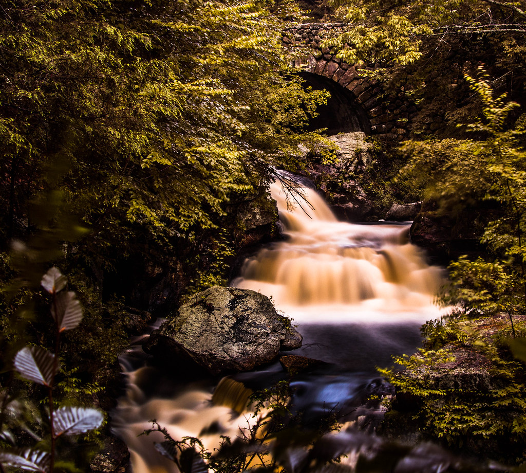
Doane's Falls - Royalston, MA

Yellow Shed

Sunset Reflections

Long Pond Winter

Doanes Falls

Doanes Falls

Green Moss

Get In It!
Topographic Map of Chestnut St, Athol, MA, USA
Find elevation by address:

Places near Chestnut St, Athol, MA, USA:
102 Liberty St
Athol
Vine Street
14 Gibson Dr
134 Sanders St
908 Pleasant St
20 Everett Ave
20 Everett St
280 Exchange St
13 Sunset Ave
7 Sunset Ave
406 Fairview Ave
736 S Main St
60 Memorial Dr
S Athol Rd, Athol, MA, USA
South Athol Road
41 Packard Rd, Orange, MA, USA
140 Tully Rd
871 Partridgeville Rd
125 E Rd
Recent Searches:
- Elevation of Spaceport America, Co Rd A, Truth or Consequences, NM, USA
- Elevation of Warwick, RI, USA
- Elevation of Fern Rd, Whitmore, CA, USA
- Elevation of 62 Abbey St, Marshfield, MA, USA
- Elevation of Fernwood, Bradenton, FL, USA
- Elevation of Felindre, Swansea SA5 7LU, UK
- Elevation of Leyte Industrial Development Estate, Isabel, Leyte, Philippines
- Elevation of W Granada St, Tampa, FL, USA
- Elevation of Pykes Down, Ivybridge PL21 0BY, UK
- Elevation of Jalan Senandin, Lutong, Miri, Sarawak, Malaysia