Elevation of Fairview Ave, Athol, MA, USA
Location: United States > Massachusetts > Worcester County > Athol >
Longitude: -72.23926
Latitude: 42.5837818
Elevation: 177m / 581feet
Barometric Pressure: 99KPa
Elevation Map:
Satellite Map:
Related Photos:

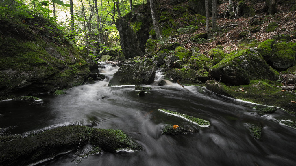
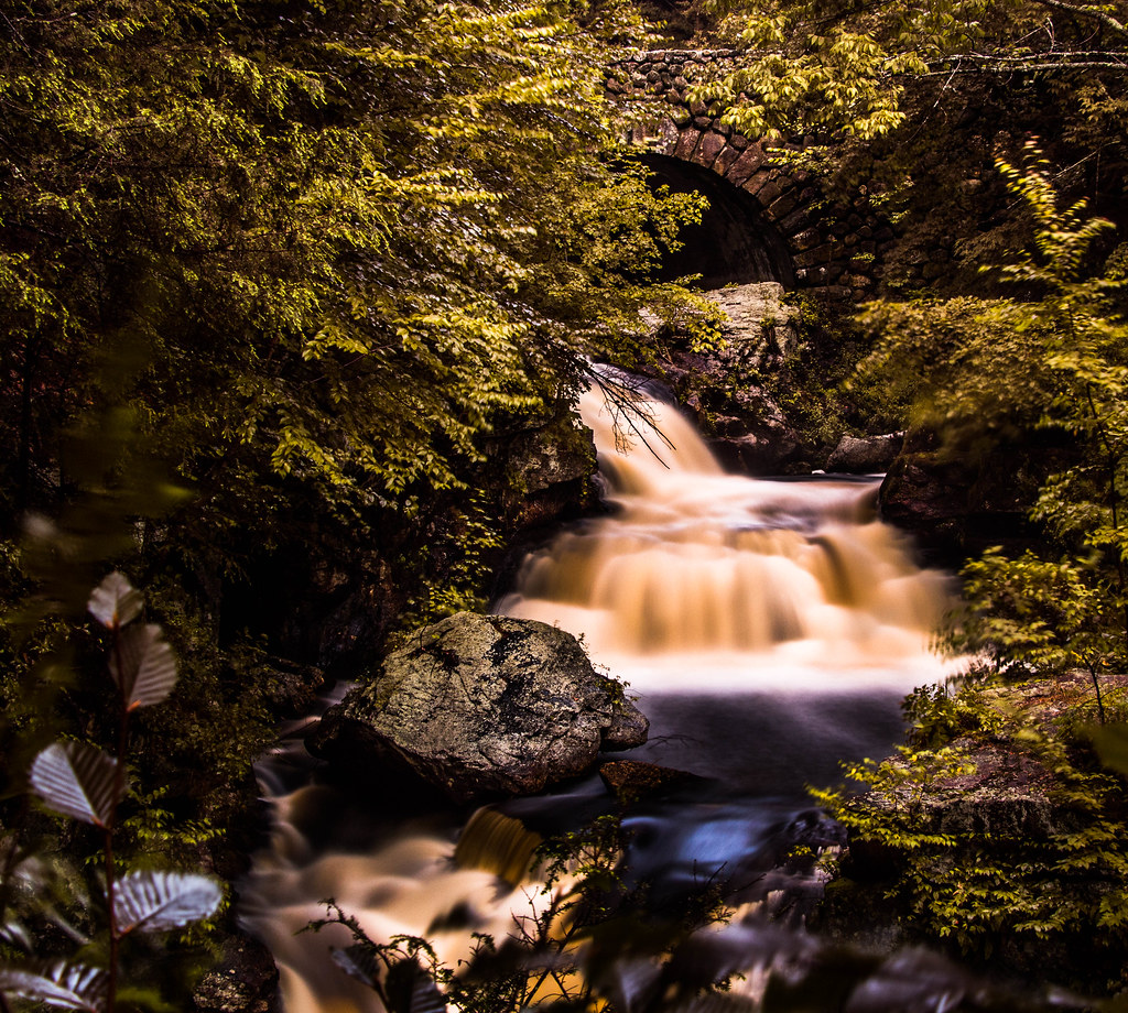
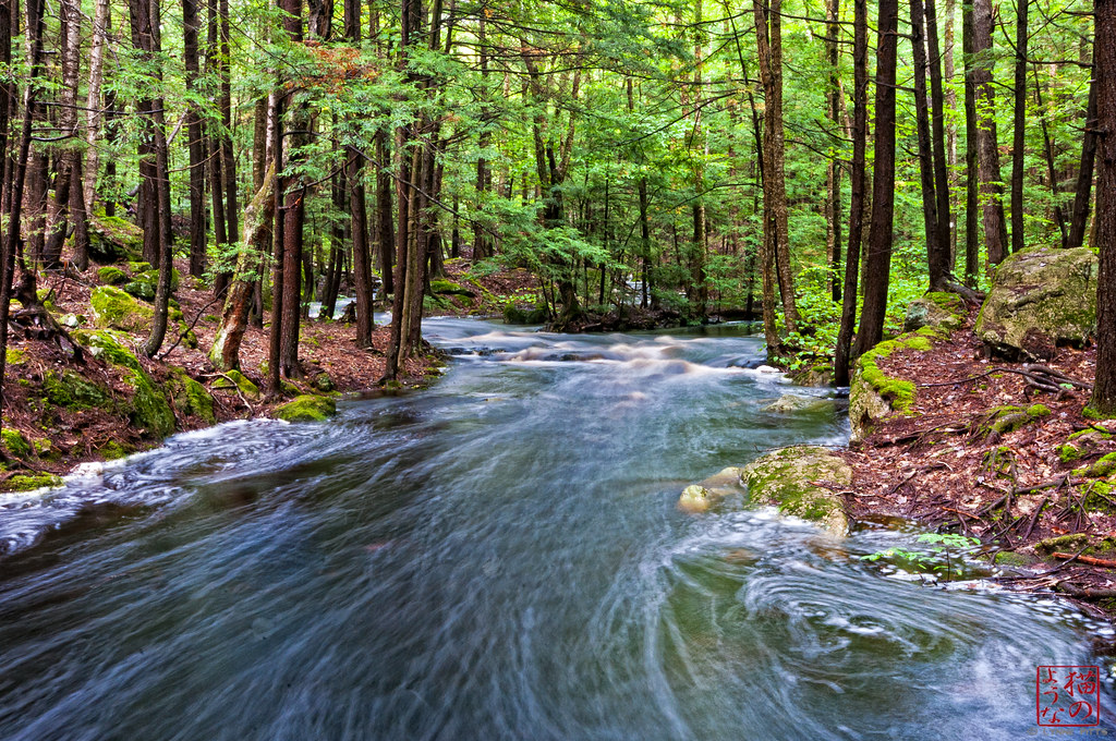
water music
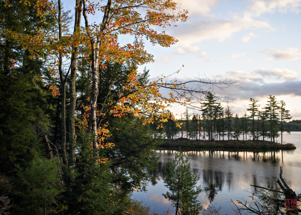
Corner View
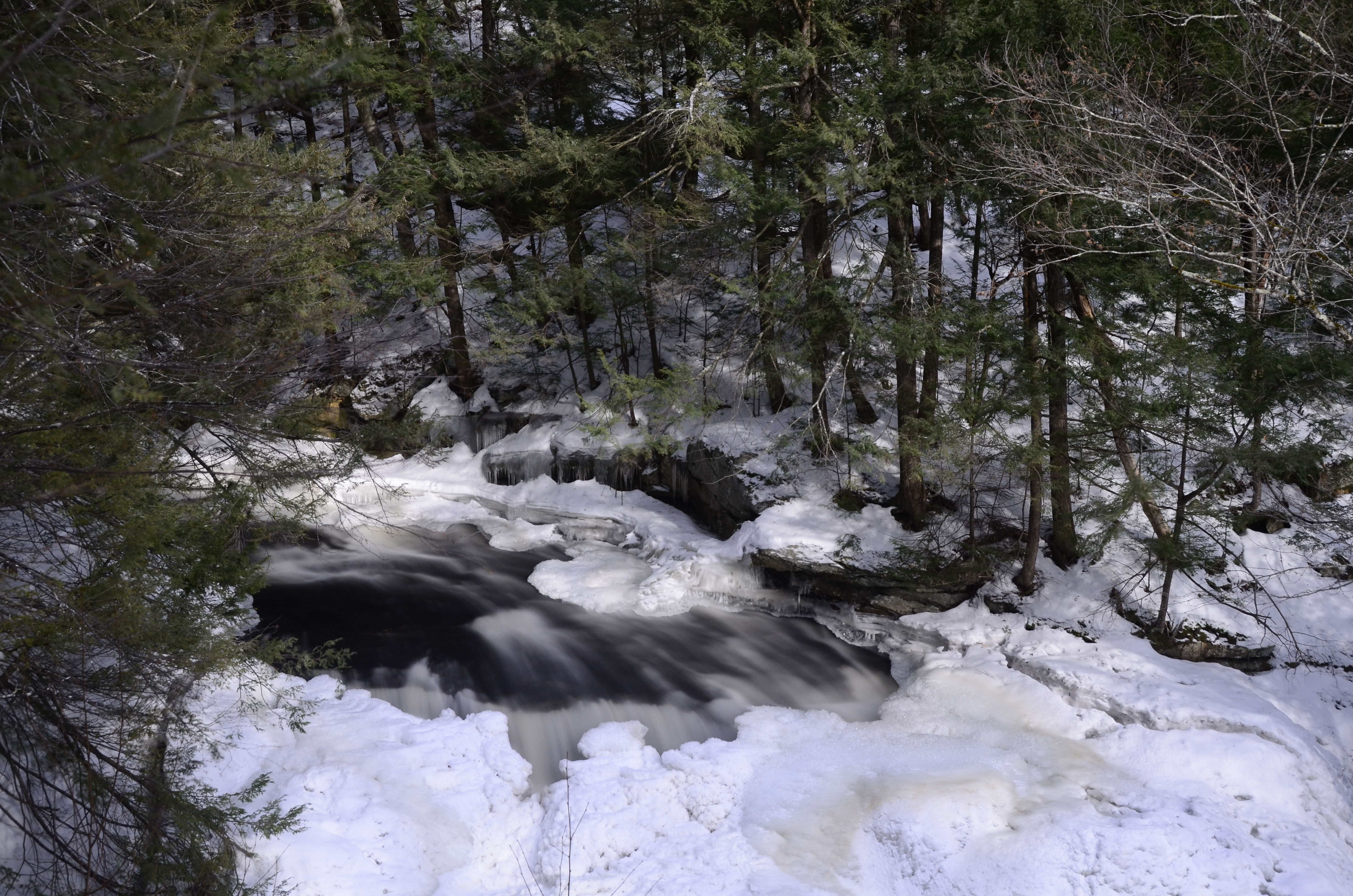
Doane's Falls (Spring Break!)

Royalston Falls
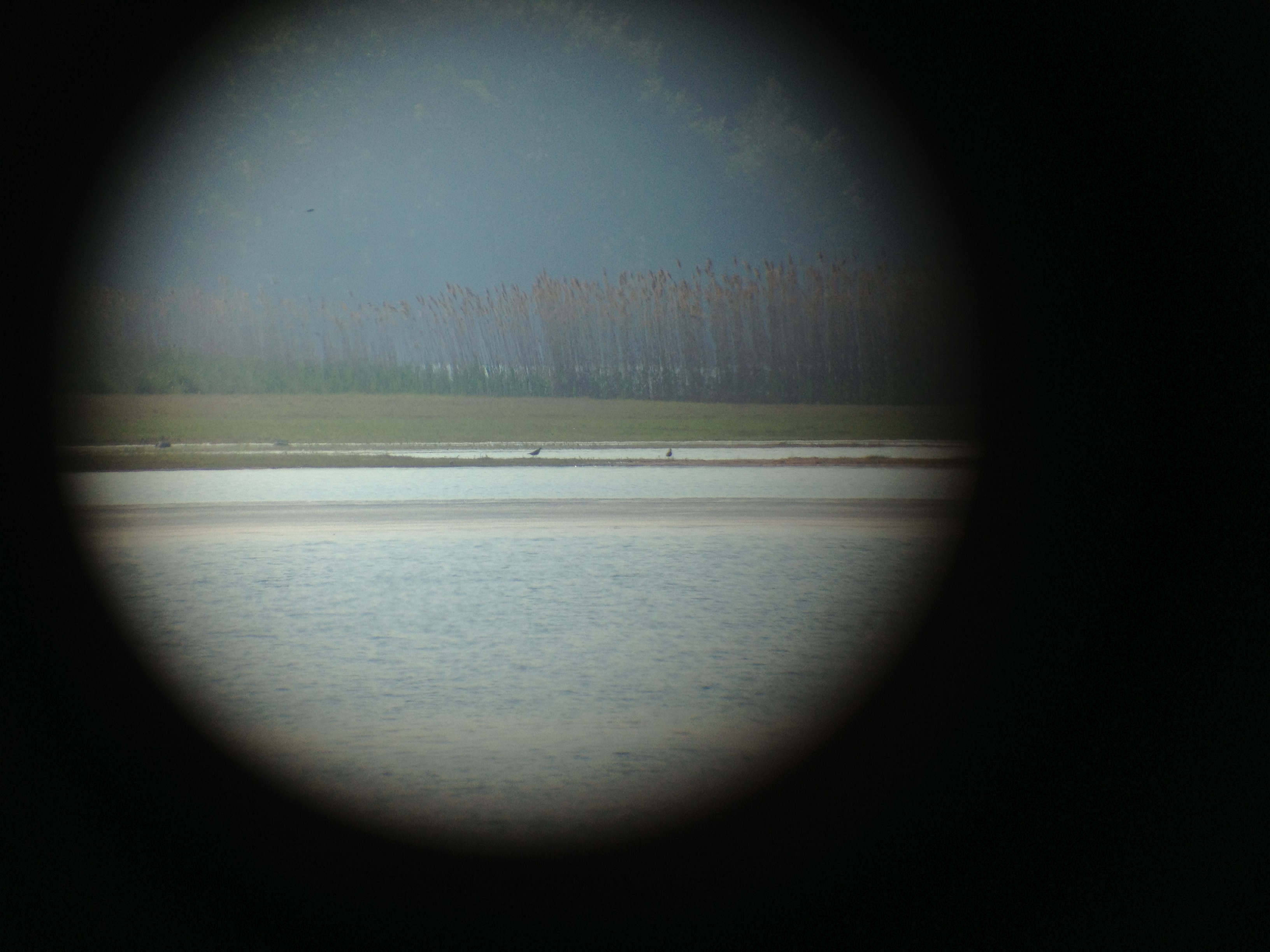
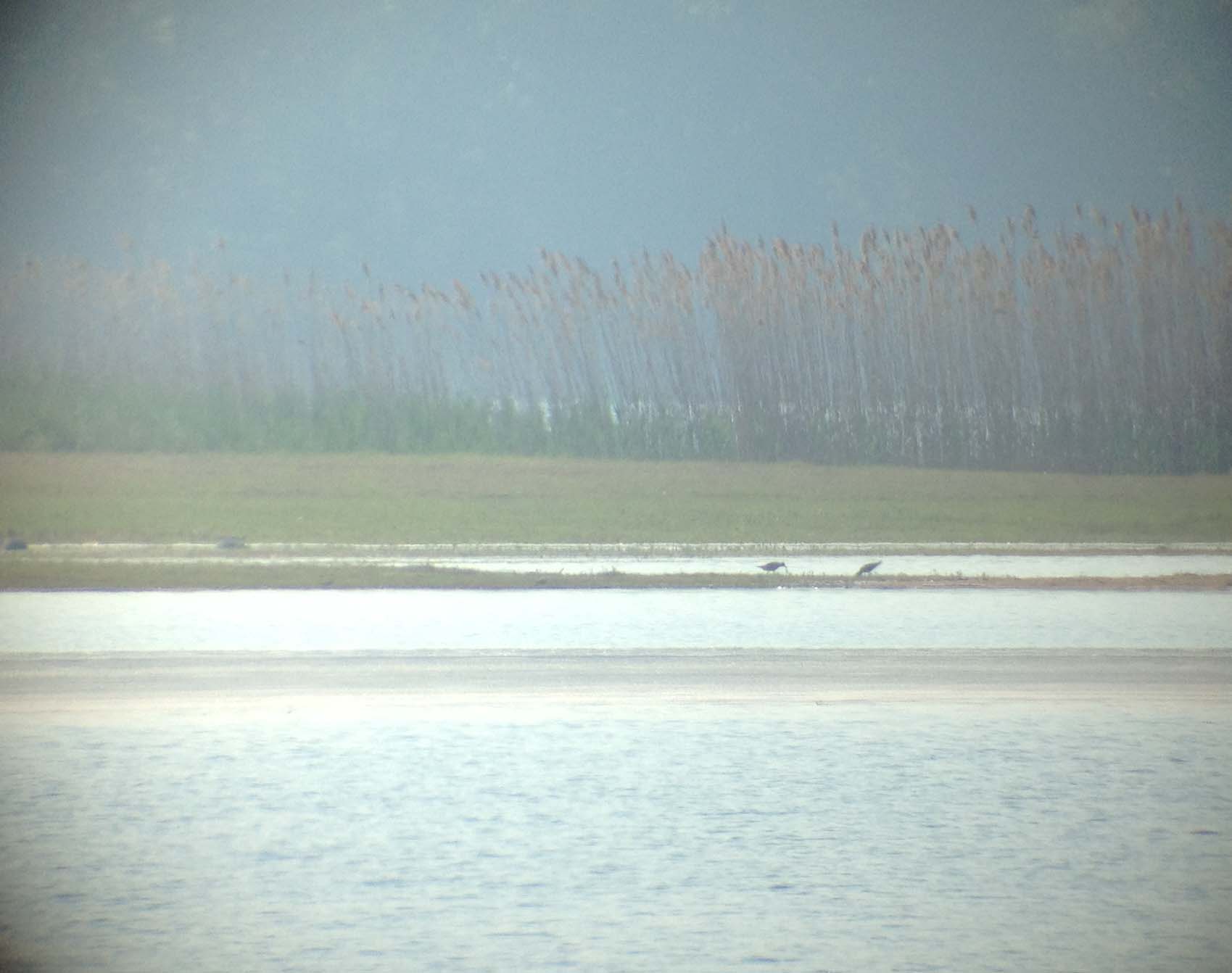
Black bellied Plovers
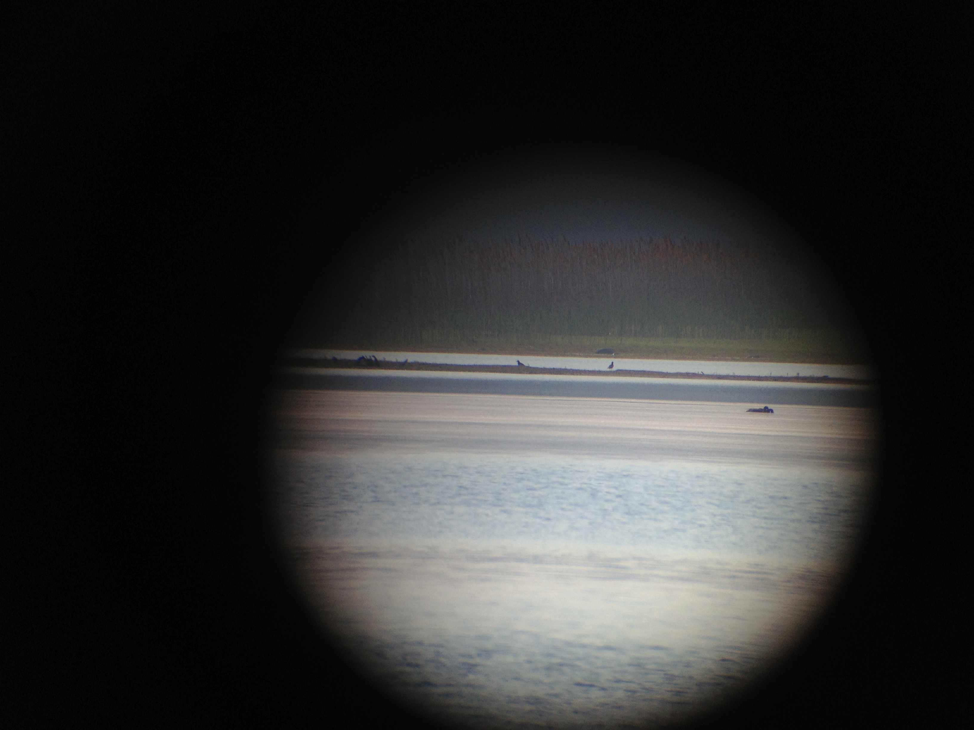
Black bellied Plovers
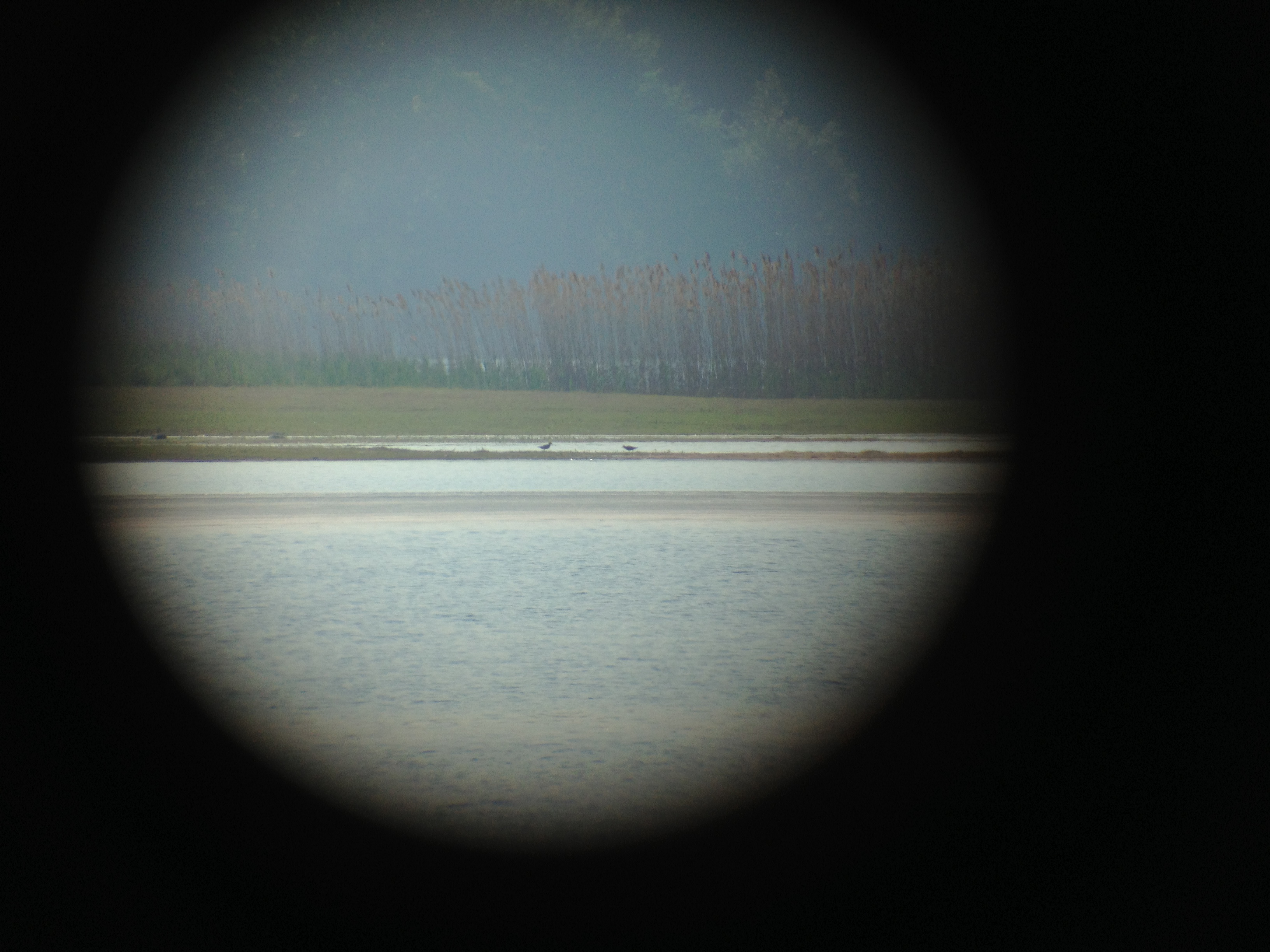
Black bellied Plovers
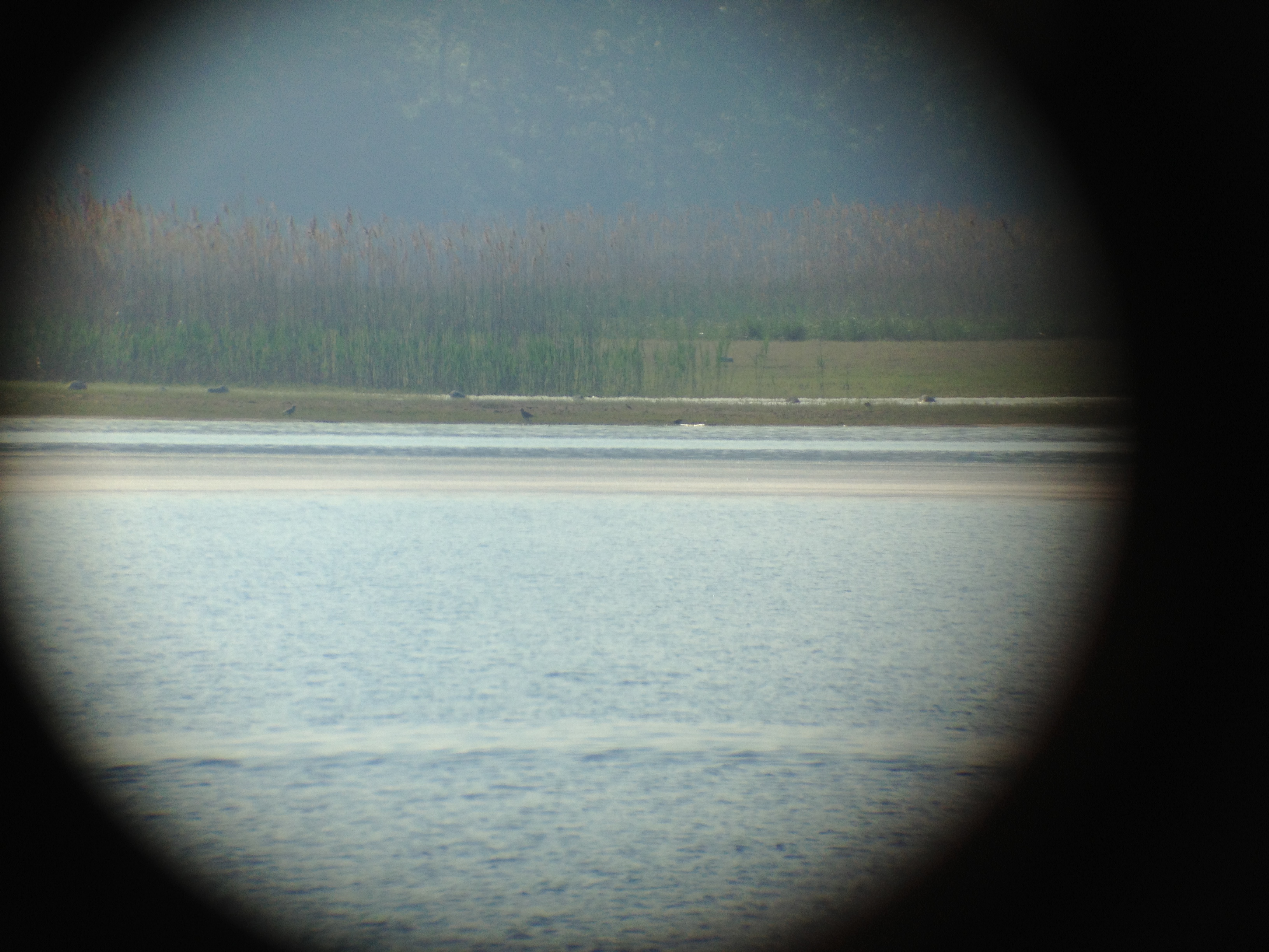
Black bellied Plovers with Dunlin
Black bellied Plovers with Dunlin

Royalston Falls a Third Time
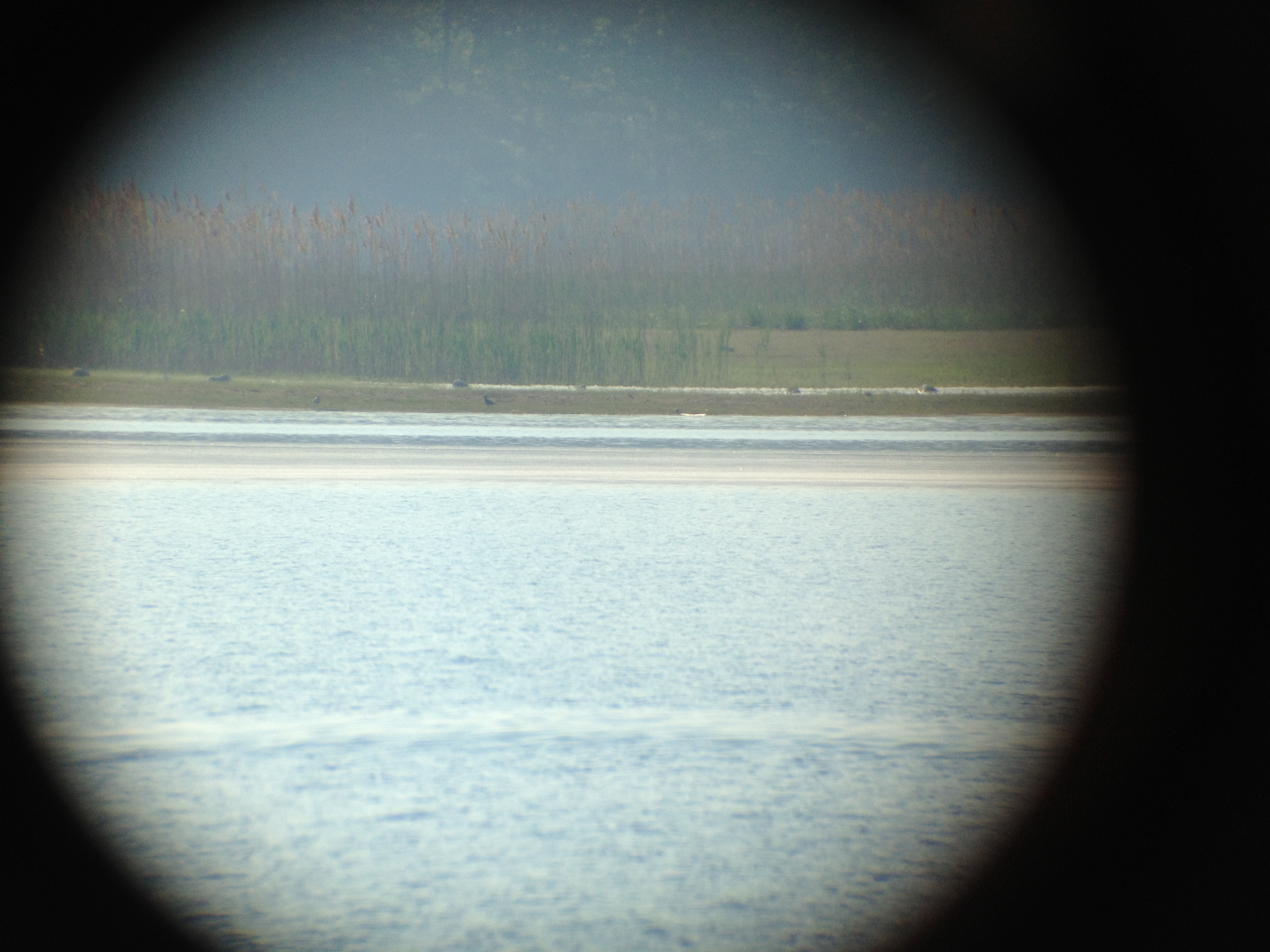
Black bellied Plovers
Royalston Falls Again
Black bellied Plovers
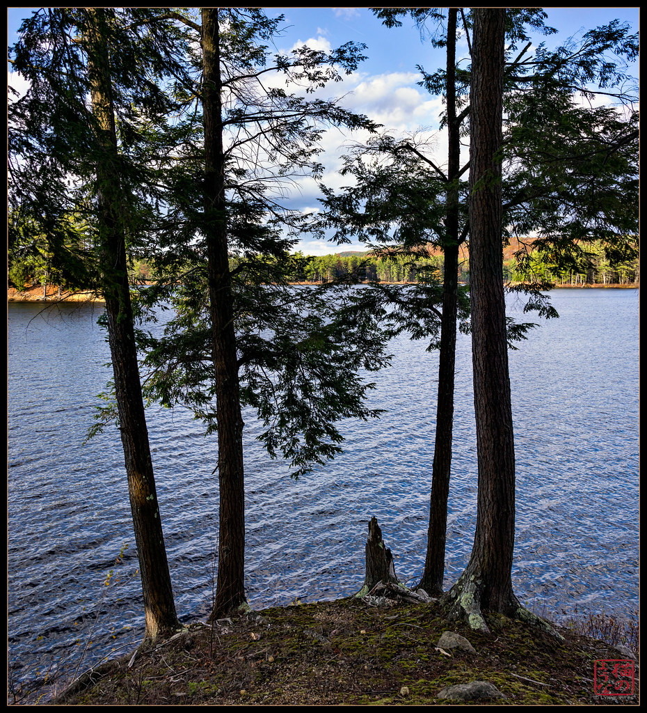
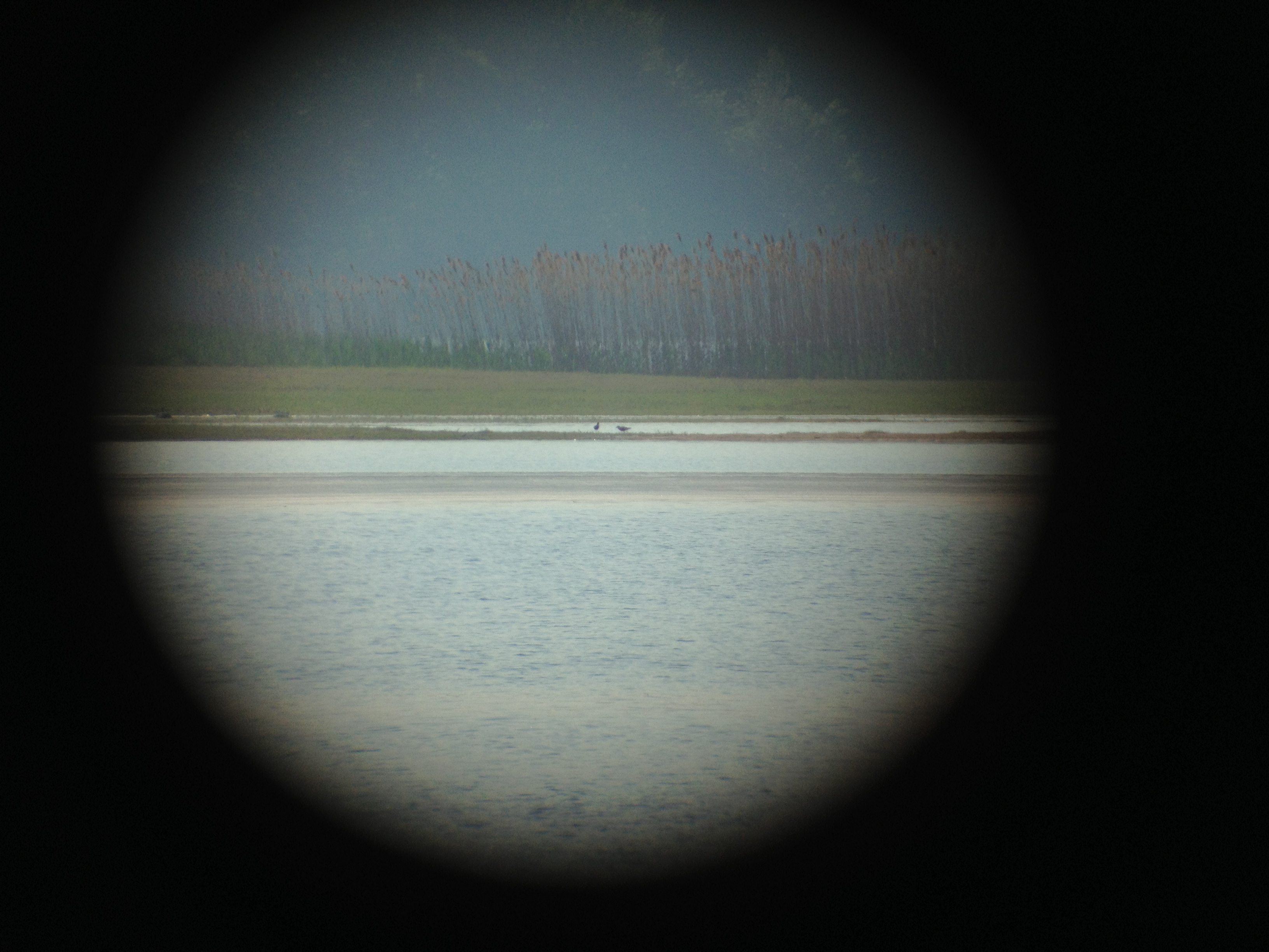
View through Four
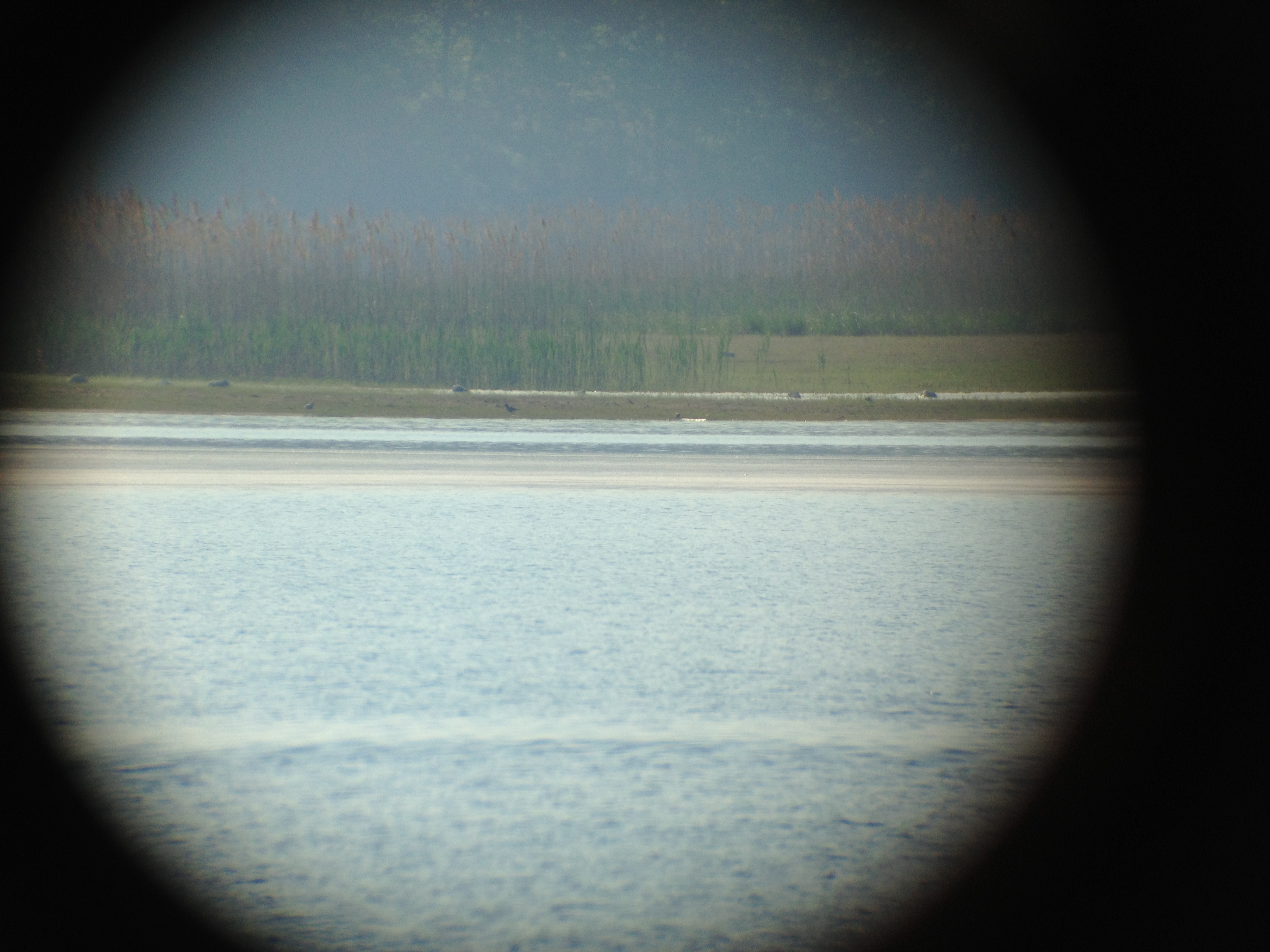
Black bellied Plovers with Dunlin
Bear's Den

Black bellied Plovers
Black bellied Plovers
Black bellied Plovers
Black bellied Plovers

View Over the Bench Vertorama
Doane's Falls - Royalston, MA

Morning Quabbin Glory

All That Glitters

Long Pond Winter
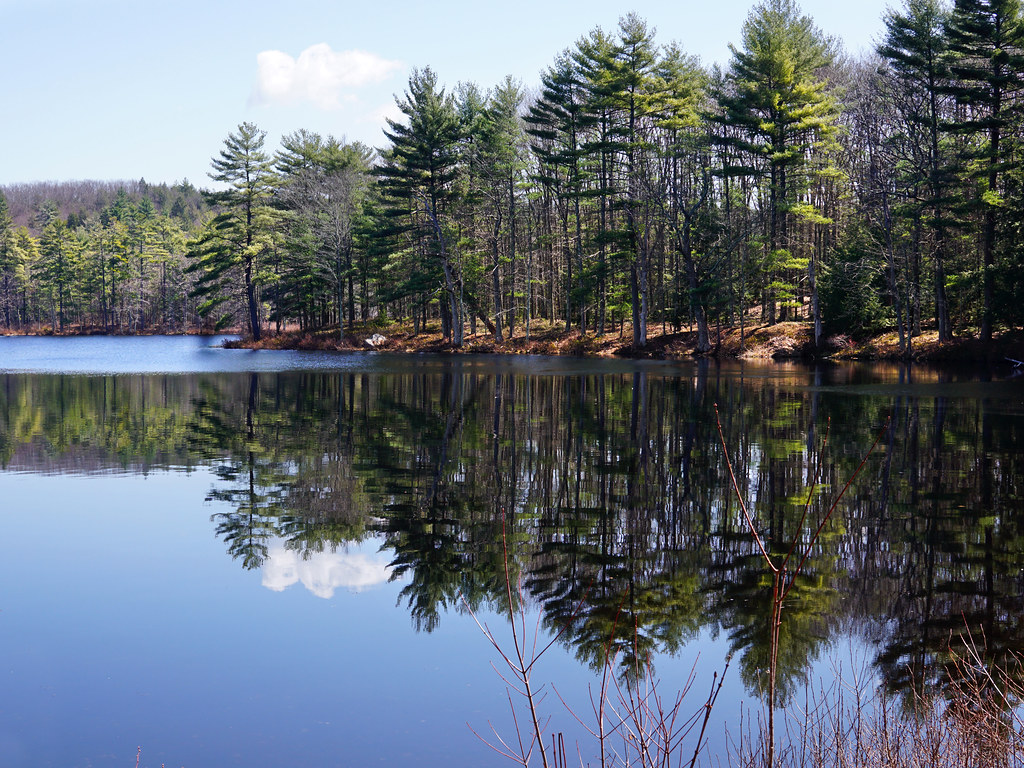
Harvard Pond, Western Massachusetts
The Ice Curves
Get In It!
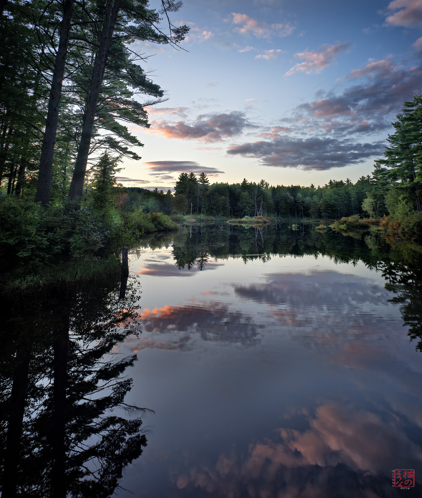
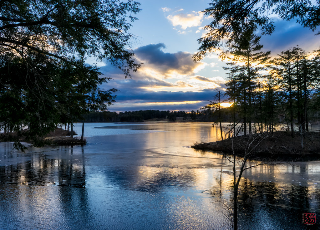
Sunset Reflections

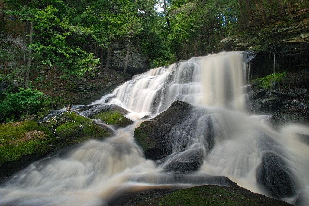
Doanes Falls
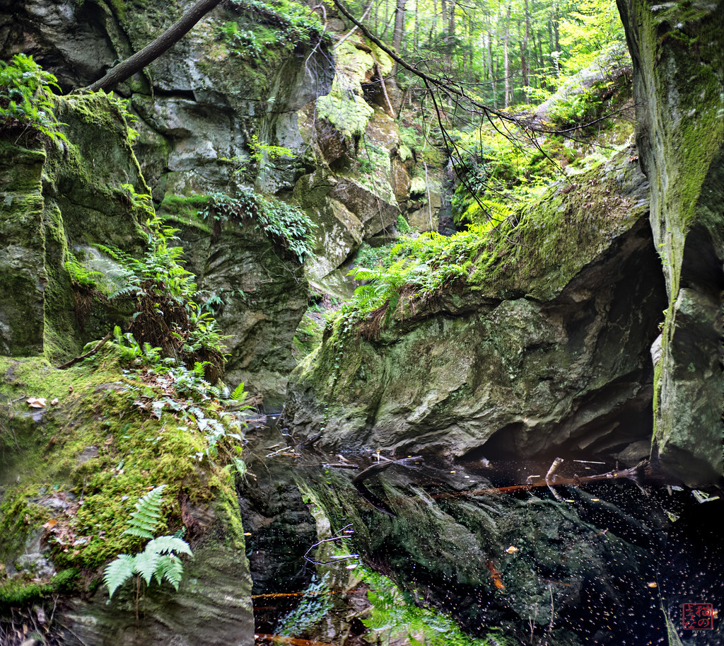
Jurassic Jumble

Yellow Shed
Slipping Away

Harvard Pond #2
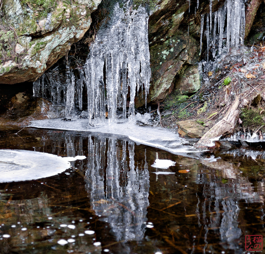
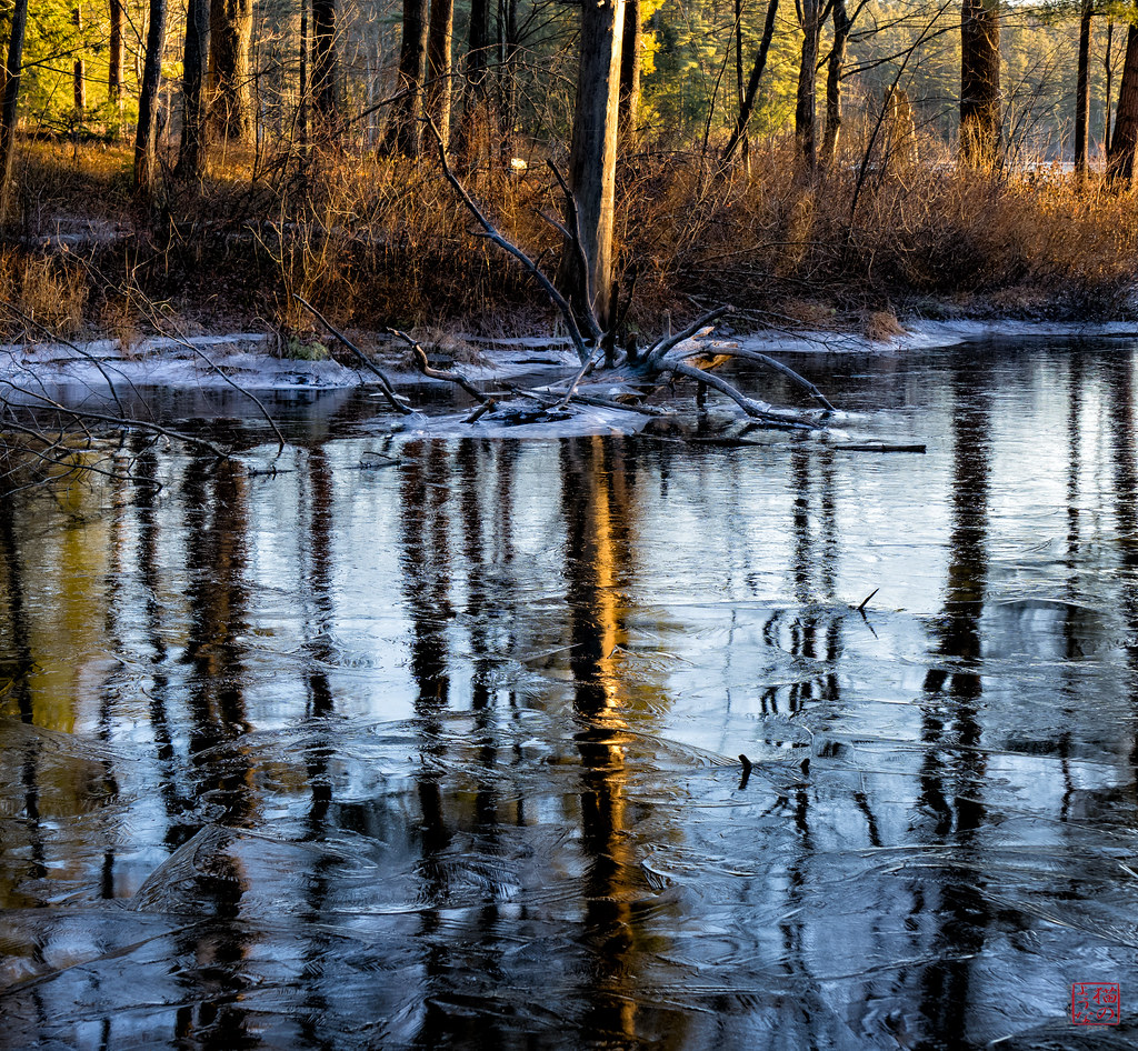
Icy Reflections
The Power of Sun

Hermit Thrush

Ice Water
High Water
Topographic Map of Fairview Ave, Athol, MA, USA
Find elevation by address:

Places near Fairview Ave, Athol, MA, USA:
736 S Main St
20 Everett St
20 Everett Ave
134 Sanders St
280 Exchange St
S Athol Rd, Athol, MA, USA
Athol
13 Sunset Ave
7 Sunset Ave
102 Liberty St
1142 Chestnut St
South Athol Road
908 Pleasant St
Vine Street
871 Partridgeville Rd
14 Gibson Dr
60 Memorial Dr
25 Rogers Ave
125 E Rd
91 Blanchard Cir
Recent Searches:
- Elevation of W Granada St, Tampa, FL, USA
- Elevation of Pykes Down, Ivybridge PL21 0BY, UK
- Elevation of Jalan Senandin, Lutong, Miri, Sarawak, Malaysia
- Elevation of Bilohirs'k
- Elevation of 30 Oak Lawn Dr, Barkhamsted, CT, USA
- Elevation of Luther Road, Luther Rd, Auburn, CA, USA
- Elevation of Unnamed Road, Respublika Severnaya Osetiya — Alaniya, Russia
- Elevation of Verkhny Fiagdon, North Ossetia–Alania Republic, Russia
- Elevation of F. Viola Hiway, San Rafael, Bulacan, Philippines
- Elevation of Herbage Dr, Gulfport, MS, USA