Elevation of Chemin Philippe, Notre-Dame-du-Laus, QC J0X, Canada
Location: Canada > Québec > Antoine-labelle Regional County Municipality > Notre-dame-du-laus >
Longitude: -75.485512
Latitude: 46.2093057
Elevation: 236m / 774feet
Barometric Pressure: 99KPa
Elevation Map:
Satellite Map:
Related Photos:
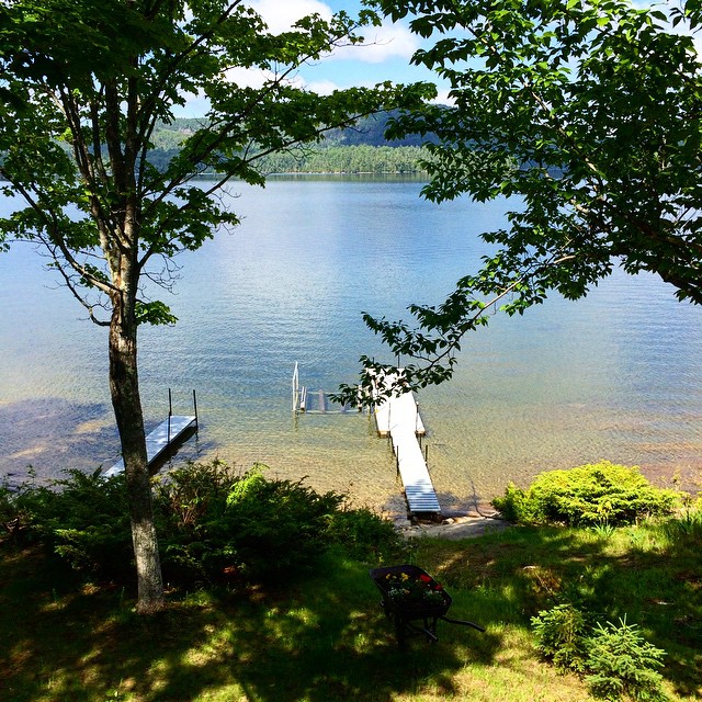
The view from our bedroom for the next week. #vacationsallieverwantedvacationhadtogetaway #familycottageweek
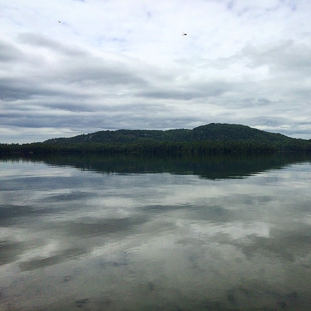
This view!! (Also, it's not a spot on your screen, it's one of those giant dragonflies surrounding this lake) #vacationsallieverwantedvacationhadtogetaway #familycottageweek
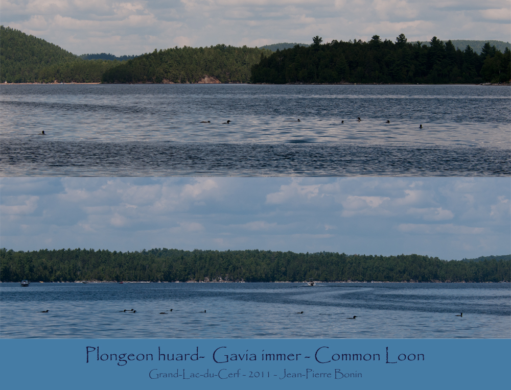
Plongeon huard- Gavia immer - Common Loon
_DSC2175 copie
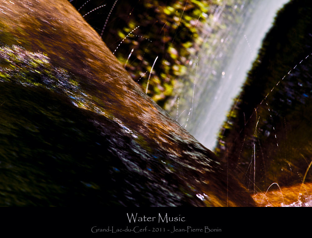
Water Music 1
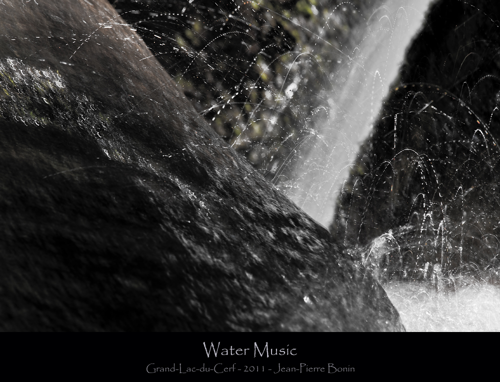
Water Music 2
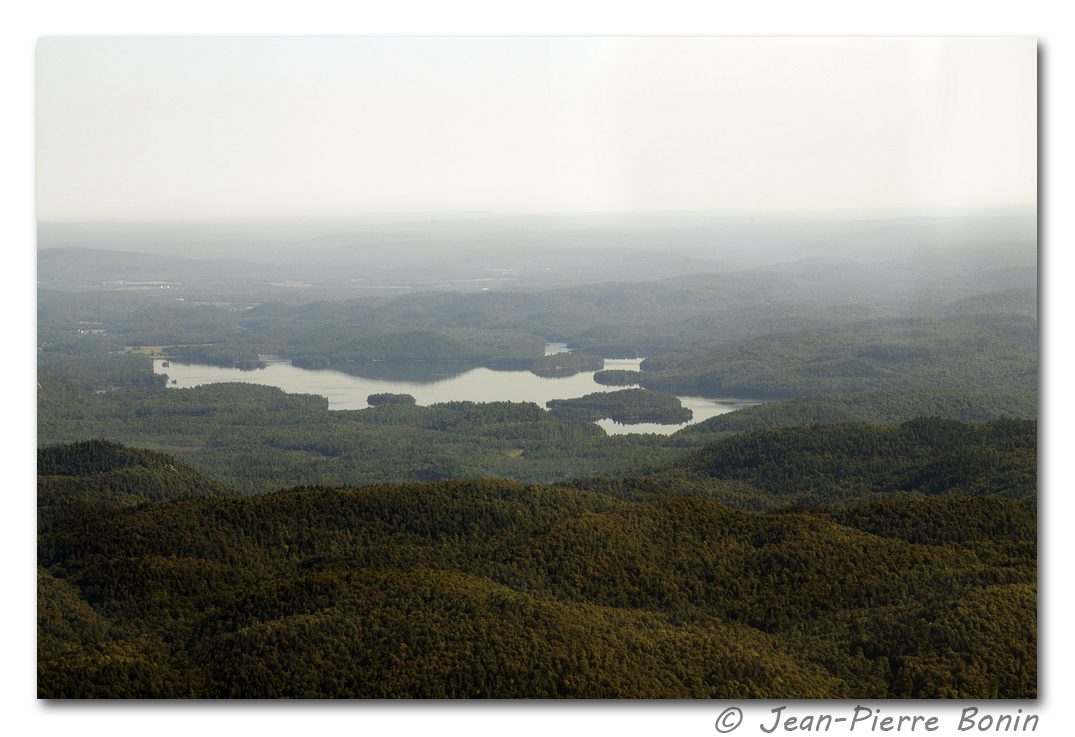
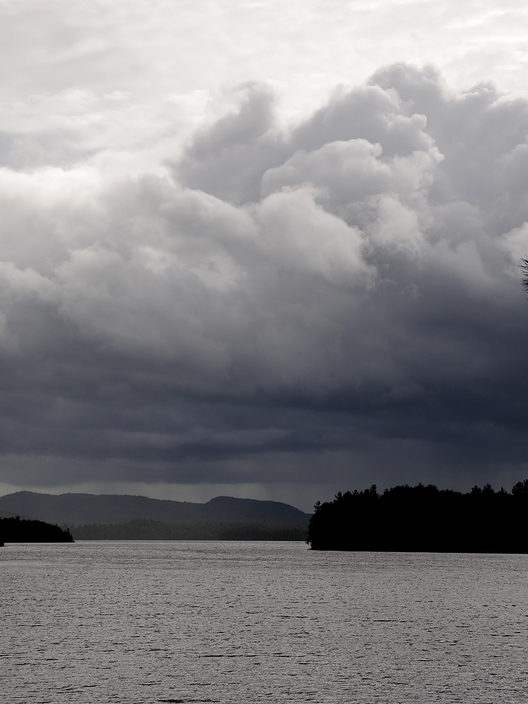
Grand Lac-du-Cerf DSC_6449m copie
Sentier écologique "Le Petit Castor" DSC_8761 copie
Automne - Autumn DSC_2466
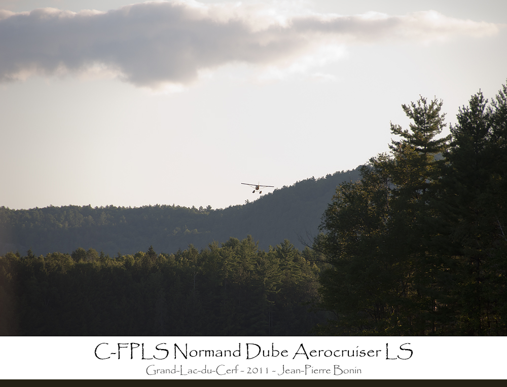
C-FPLS Normand Dube Aerocruiser LS sn:ND23 MG03 (1987)
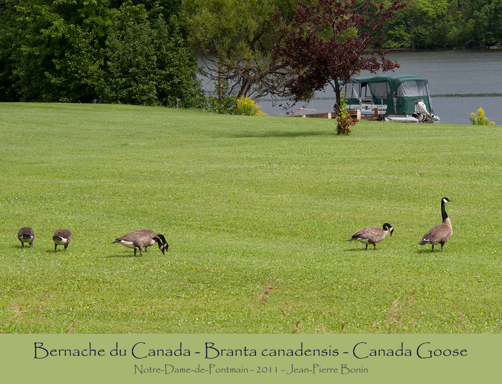
Bernache du Canada - Branta canadensis - Canada Goose
Sentier écologique "Le Petit Castor" DSC_8759 copie
Topographic Map of Chemin Philippe, Notre-Dame-du-Laus, QC J0X, Canada
Find elevation by address:

Places near Chemin Philippe, Notre-Dame-du-Laus, QC J0X, Canada:
Lac Serpent
Lac-du-cerf
1258 Chemin Du Ruisseau Serpent
Chemin Du Lac Serpent
Chemin Du Lac Serpent
Chemin De L'Église
Lac-du-cerf
Principale, Lac-du-Cerf, QC J0W 1S0, Canada
Notre-dame-du-laus
Notre-dame-de-pontmain
Notre-dame-du-laus
25 Chemin Des Pins
7 Chemin Des Pétunias
1169 Qc-309
684 Chemin Du Poisson Blanc
Notre-dame-de-pontmain
Val-des-bois
Val-des-bois
115 Montée Larocque
Chemin de l'Auberge, Bouchette, QC J0X 1E0, Canada
Recent Searches:
- Elevation of Congressional Dr, Stevensville, MD, USA
- Elevation of Bellview Rd, McLean, VA, USA
- Elevation of Stage Island Rd, Chatham, MA, USA
- Elevation of Shibuya Scramble Crossing, 21 Udagawacho, Shibuya City, Tokyo -, Japan
- Elevation of Jadagoniai, Kaunas District Municipality, Lithuania
- Elevation of Pagonija rock, Kranto 7-oji g. 8"N, Kaunas, Lithuania
- Elevation of Co Rd 87, Jamestown, CO, USA
- Elevation of Tenjo, Cundinamarca, Colombia
- Elevation of Côte-des-Neiges, Montreal, QC H4A 3J6, Canada
- Elevation of Bobcat Dr, Helena, MT, USA