Elevation of Val-des-Bois, QC, Canada
Location: Canada > Québec > Papineau Regional County Municipality >
Longitude: -75.517822
Latitude: 45.9207299
Elevation: 368m / 1207feet
Barometric Pressure: 97KPa
Elevation Map:
Satellite Map:
Related Photos:

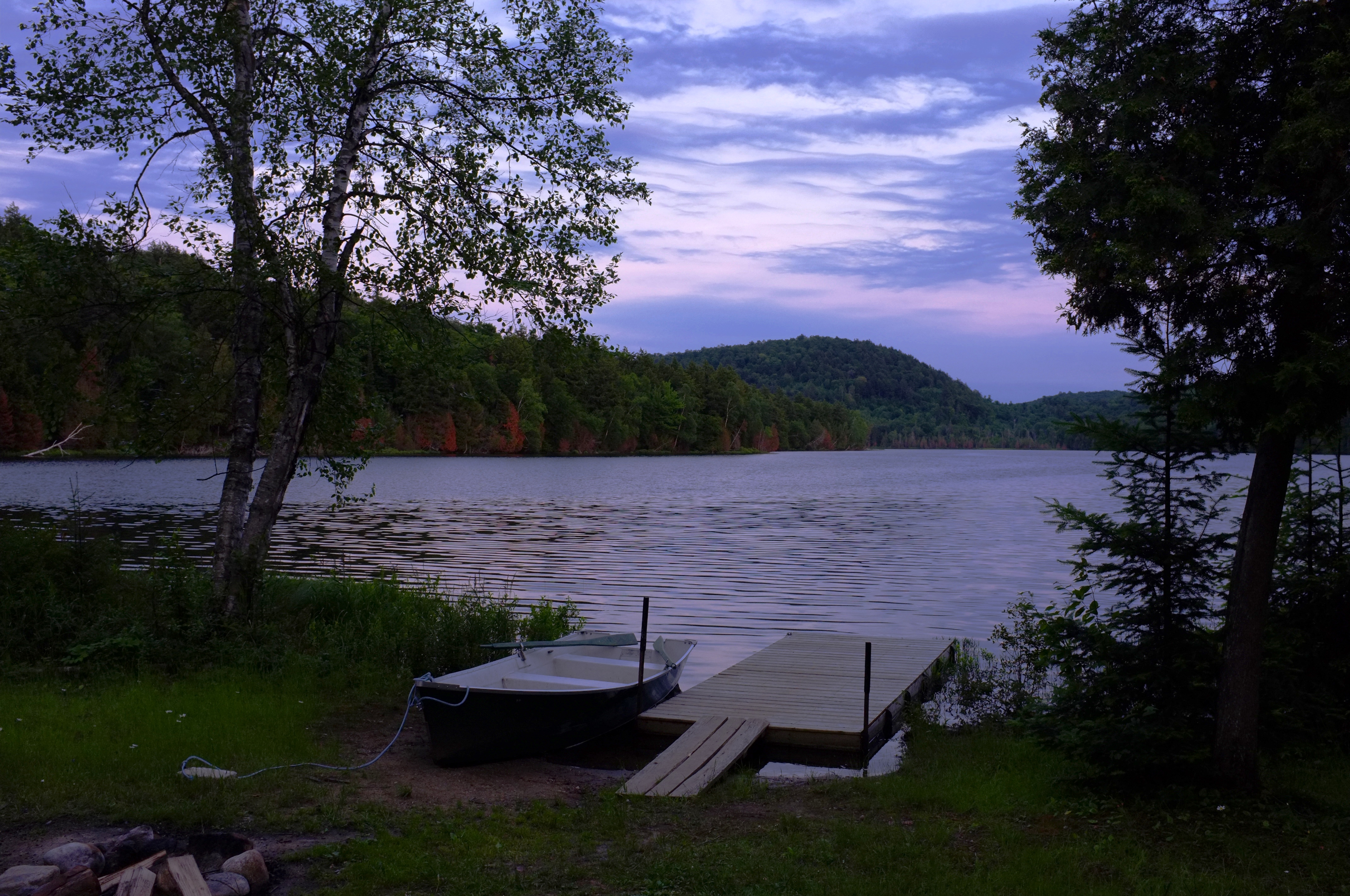
La route devant moi ♦ The Road Ahead
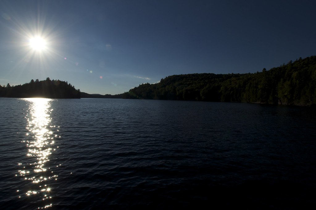
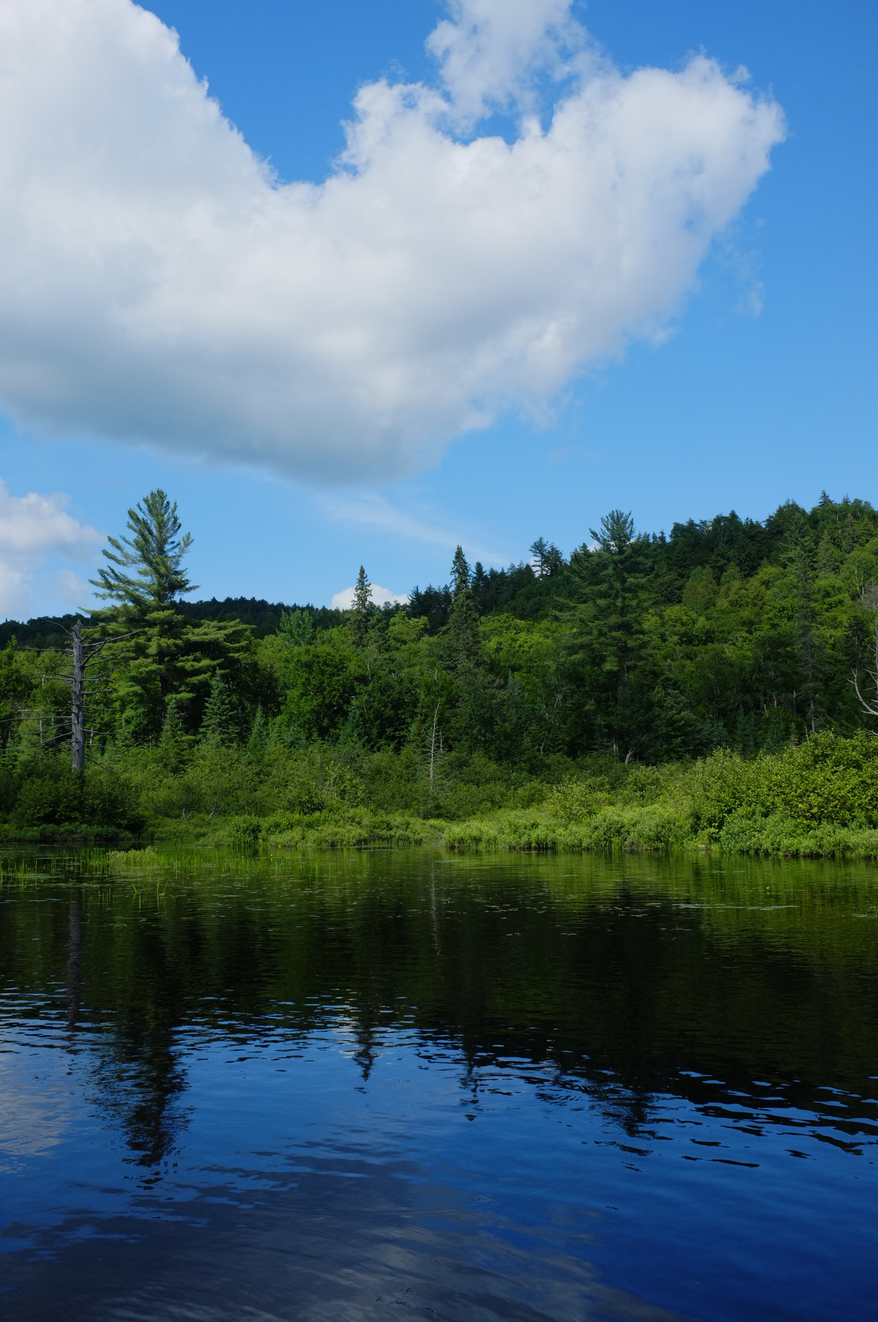
Lac Samrock

Burn away my sorrows ♦ Dissipe mes peines

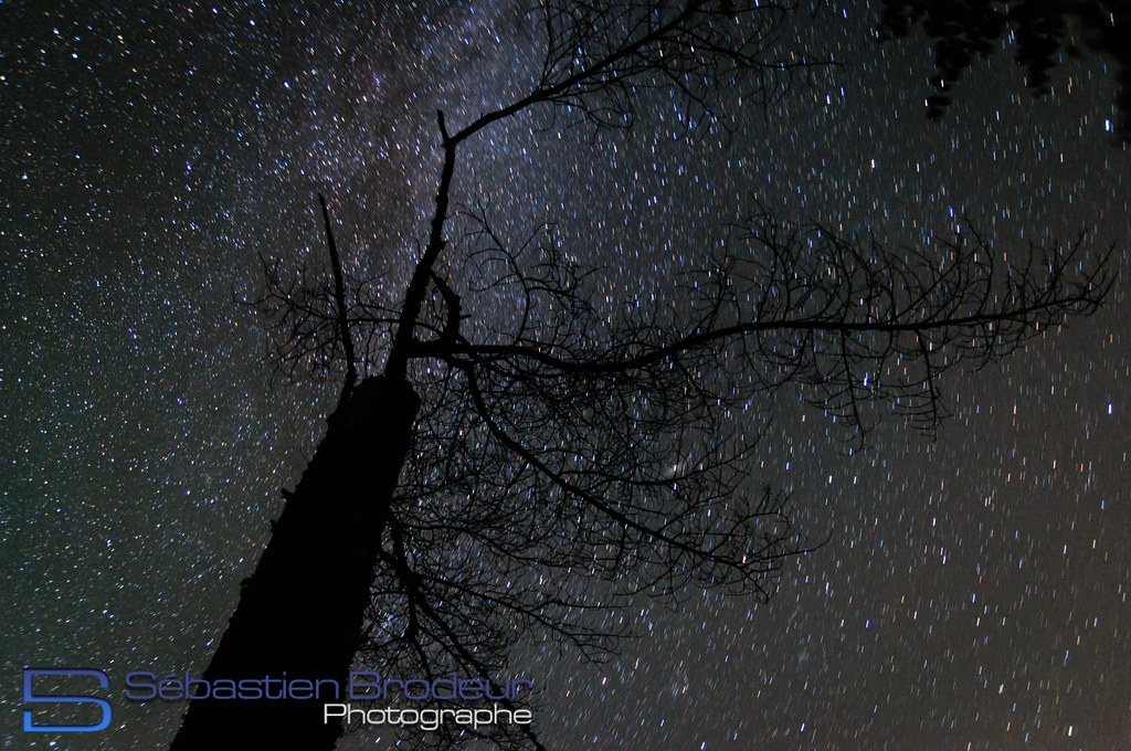
♪ ♫ Frosty the mountain... ✵ HFF!!!

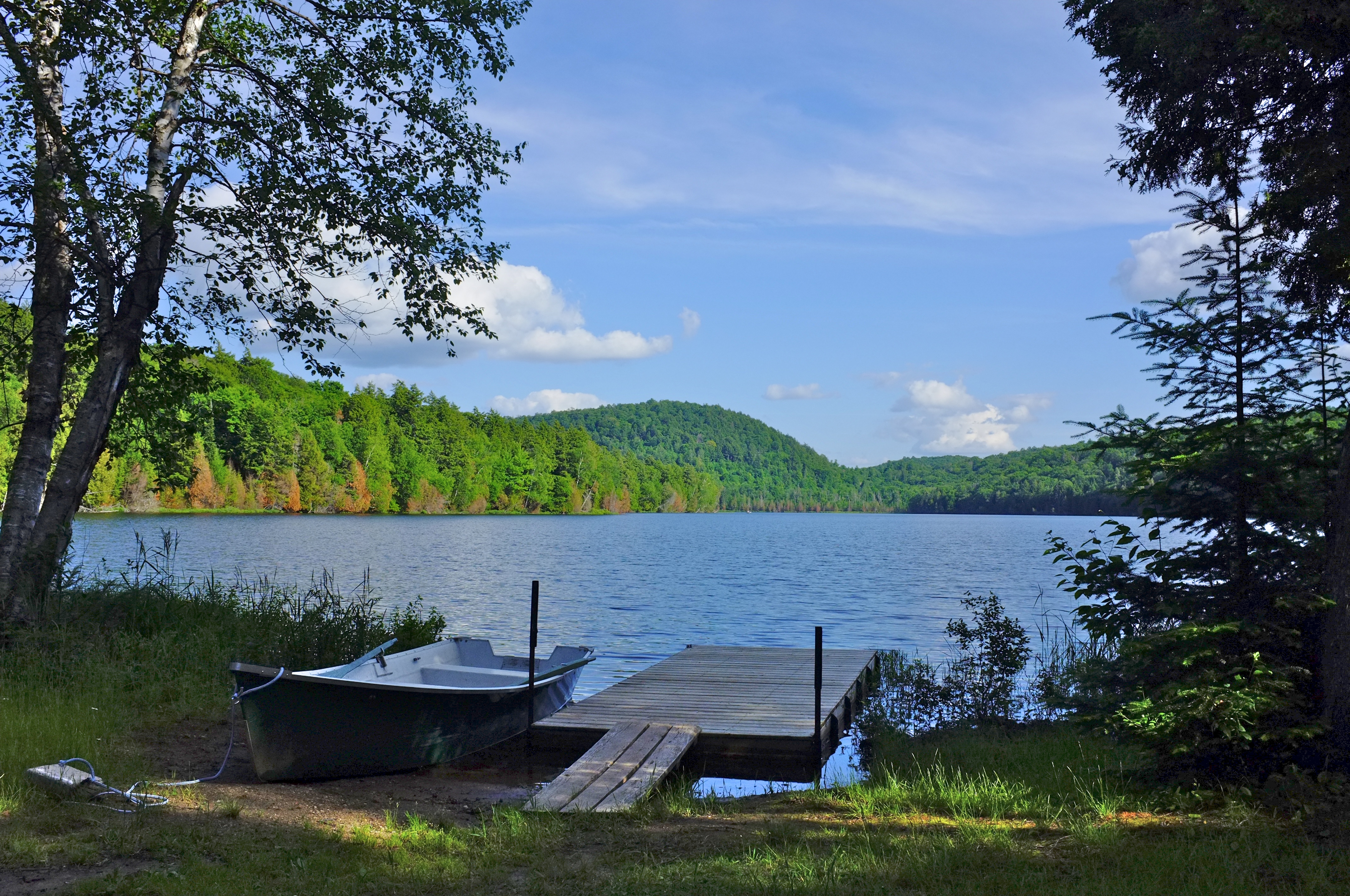
Pappineau-Labelle
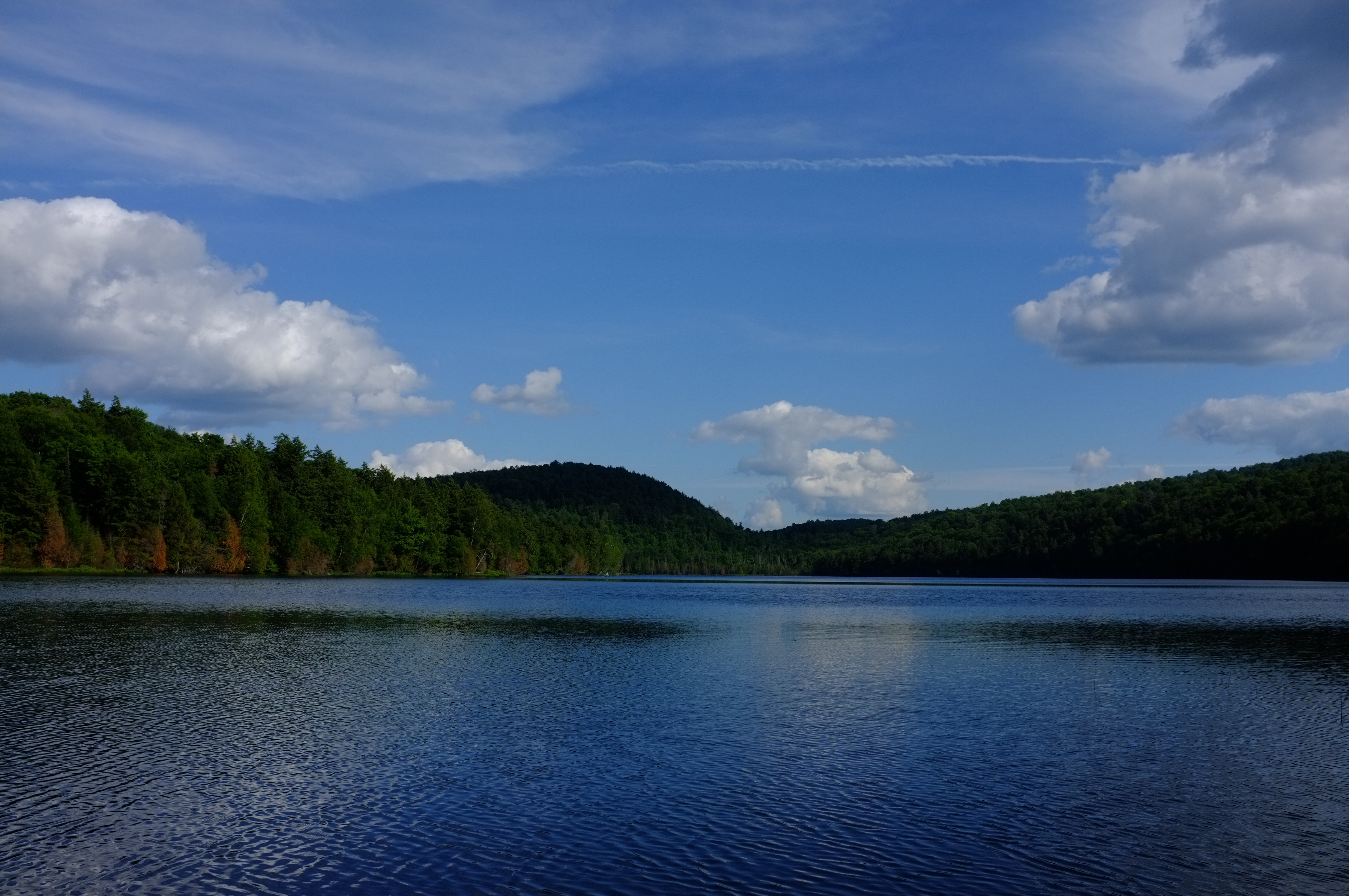
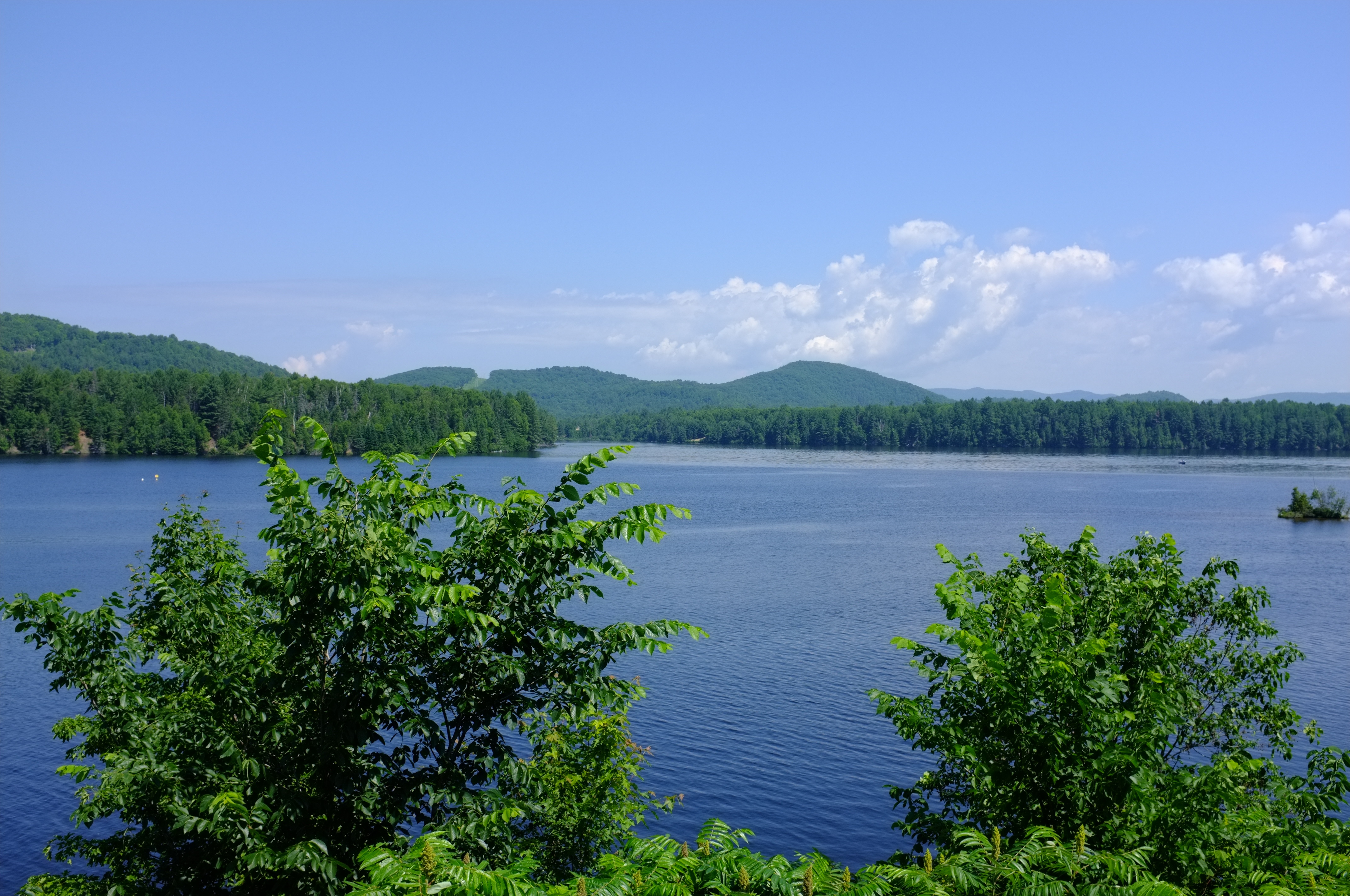
Lac Écho - Juillet 2012
Pappineau-Labelle

Pappineau-Labelle
Pappineau-Labelle
Pappineau-Labelle
Pappineau-Labelle
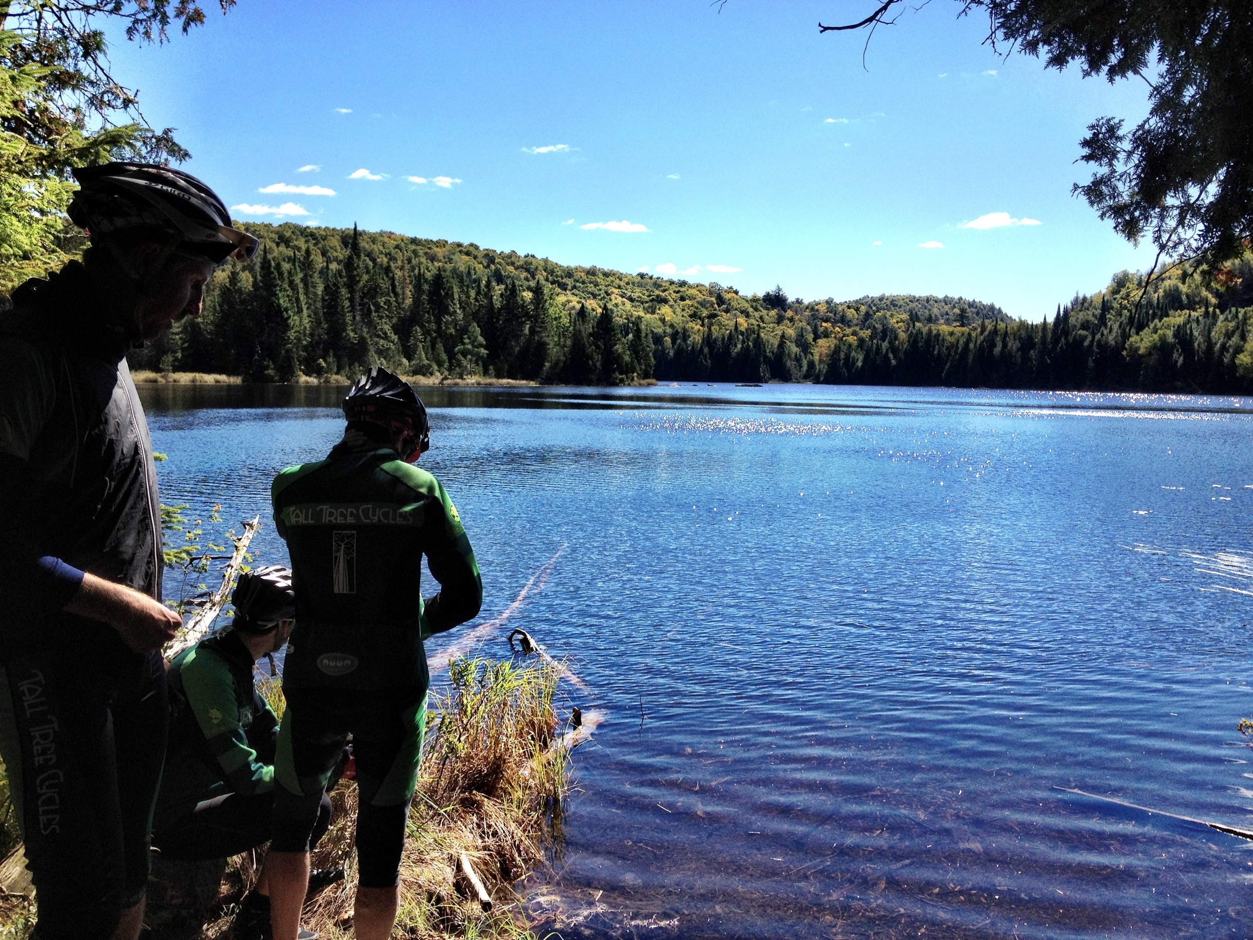
Camera Roll-423
Papineau-Labelle
Topographic Map of Val-des-Bois, QC, Canada
Find elevation by address:

Places in Val-des-Bois, QC, Canada:
Places near Val-des-Bois, QC, Canada:
Val-des-bois
108 Chemin Langlois
115 Montée Larocque
67 Chemin Nadon
Notre-dame-de-la-salette
Bowman
Notre-dame-de-la-salette
14 Chemin Laurin
J8n 3b2
Chemin du Pont, Val-des-Monts, QC J8N 3B2, Canada
Notre-dame-du-laus
Smallian Road
Chemin Du Lac Serpent
Chemin Du Lac Serpent
5646 Chemin River
Notre-dame-du-laus
1258 Chemin Du Ruisseau Serpent
Lac Serpent
684 Chemin Du Poisson Blanc
121 Rue Marleau
Recent Searches:
- Elevation of Elwyn Dr, Roanoke Rapids, NC, USA
- Elevation of Congressional Dr, Stevensville, MD, USA
- Elevation of Bellview Rd, McLean, VA, USA
- Elevation of Stage Island Rd, Chatham, MA, USA
- Elevation of Shibuya Scramble Crossing, 21 Udagawacho, Shibuya City, Tokyo -, Japan
- Elevation of Jadagoniai, Kaunas District Municipality, Lithuania
- Elevation of Pagonija rock, Kranto 7-oji g. 8"N, Kaunas, Lithuania
- Elevation of Co Rd 87, Jamestown, CO, USA
- Elevation of Tenjo, Cundinamarca, Colombia
- Elevation of Côte-des-Neiges, Montreal, QC H4A 3J6, Canada