Elevation of Chemin du Tour du Lac, Lac-des-Plages, QC J0T 1K0, Canada
Location: Canada > Québec > Papineau Regional County Municipality >
Longitude: -74.906409
Latitude: 45.9716853
Elevation: 225m / 738feet
Barometric Pressure: 99KPa
Elevation Map:
Satellite Map:
Related Photos:

View from above. Last #sunset at #ROBACHELOR weekend. So long... 09.09.2012 #cottage #sunset #clouds #lake #lacsimon #dock #fishing #goodtimes #friends #reflections #instagood #instamood #iphonesia #iphoneography #snapseed #squareready
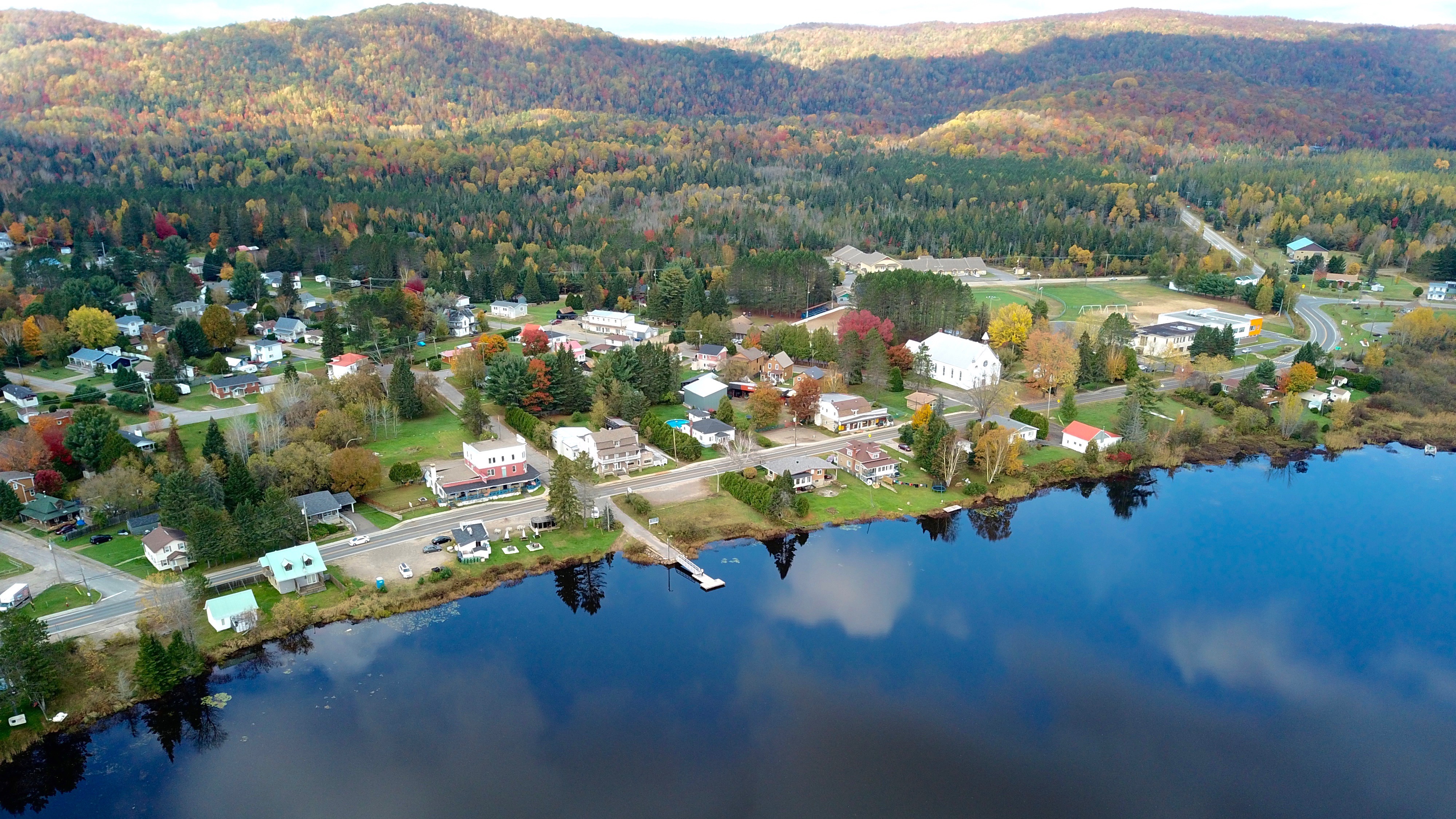
Amherst, Quebec
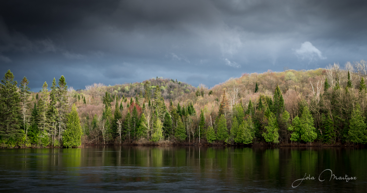
Spring Storm Coming
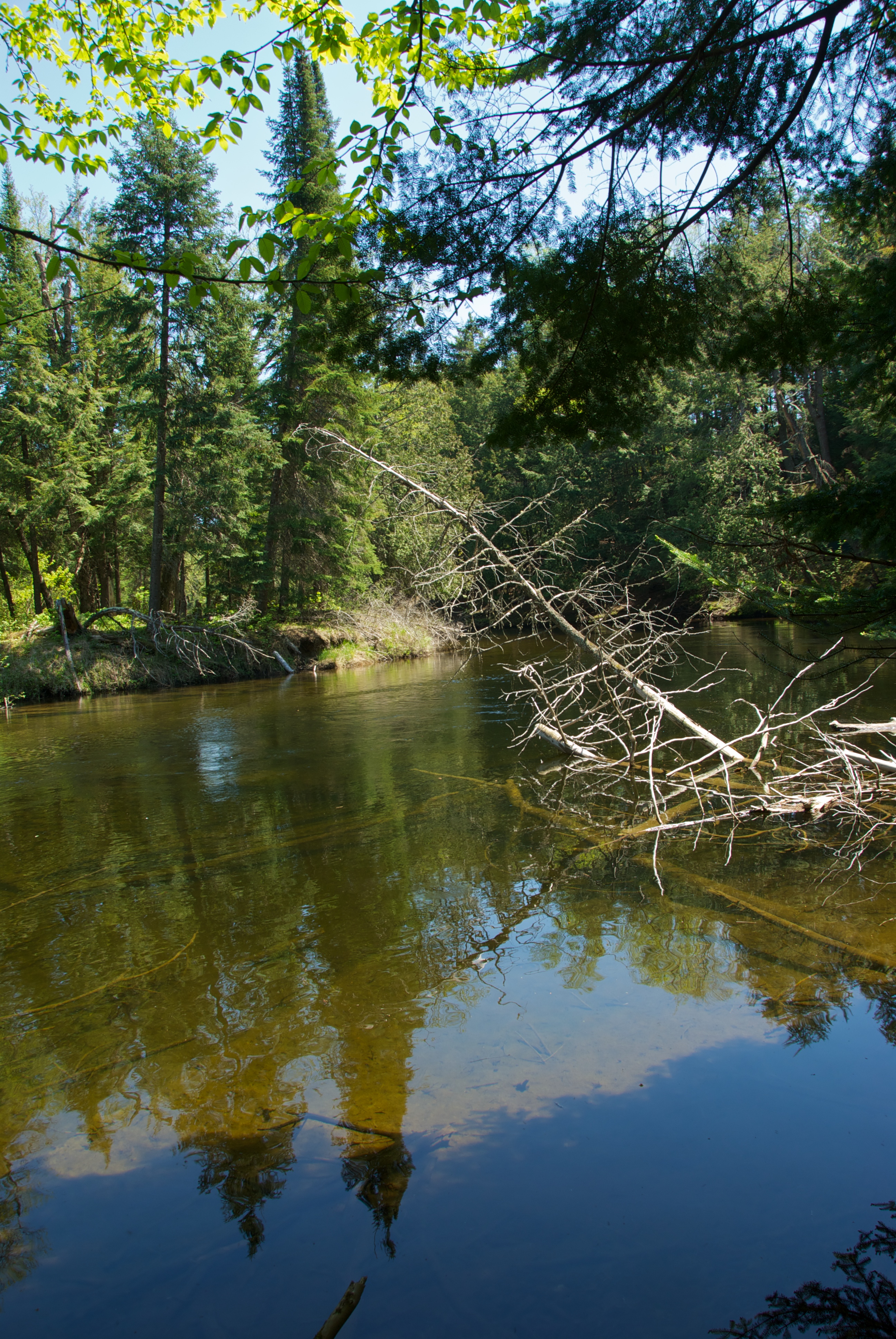
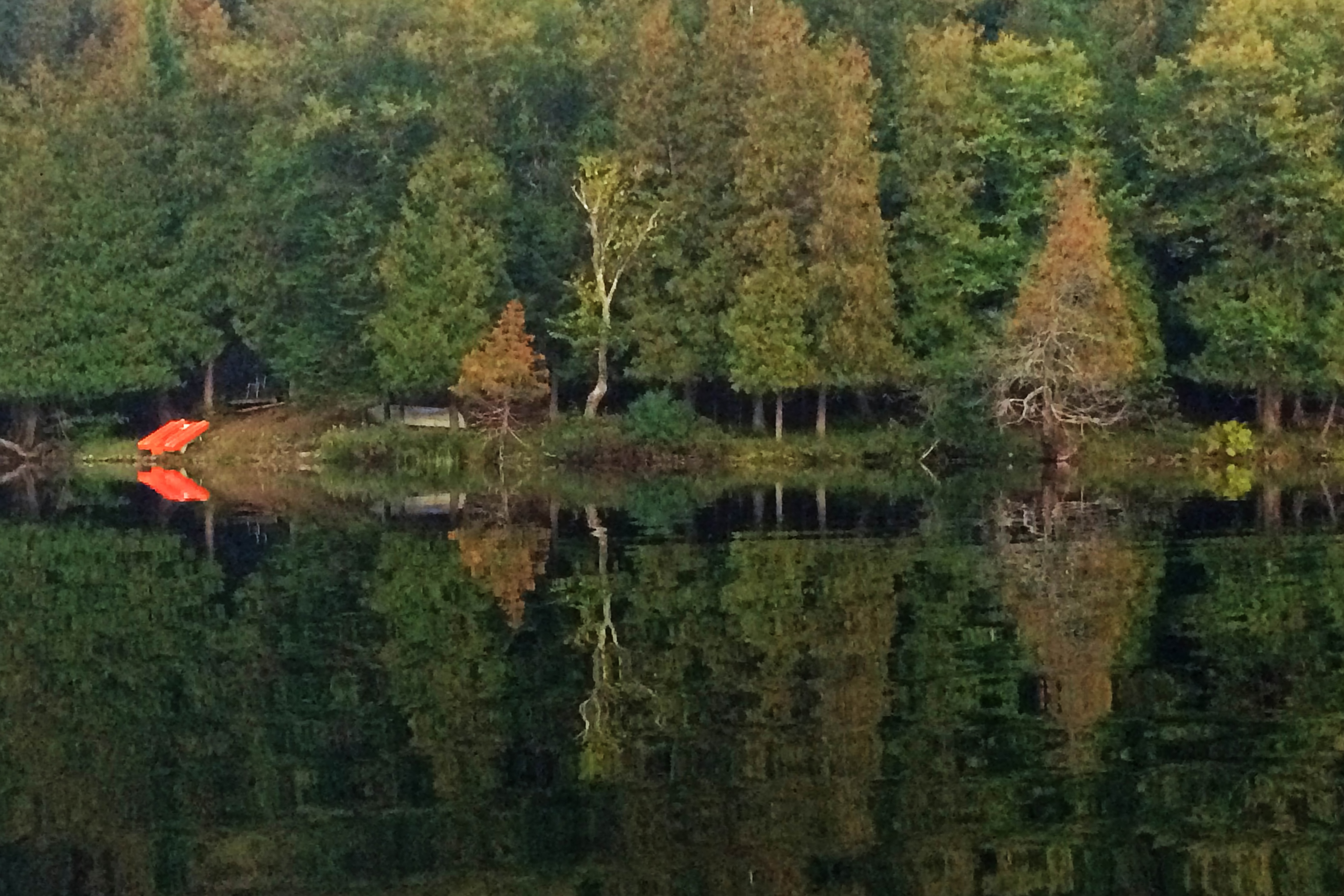
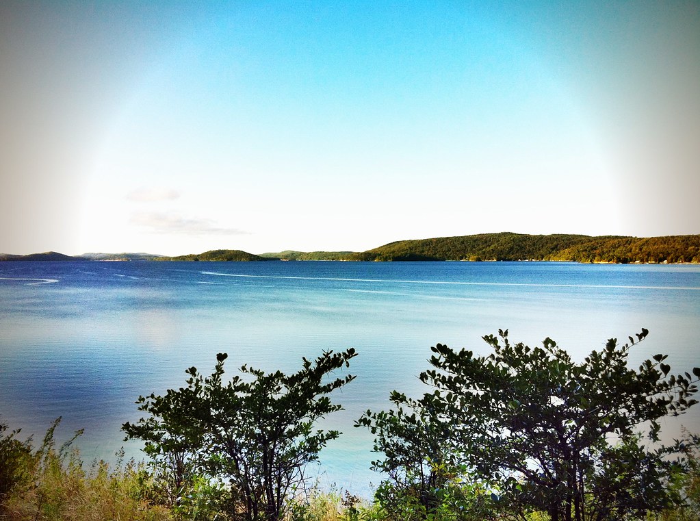
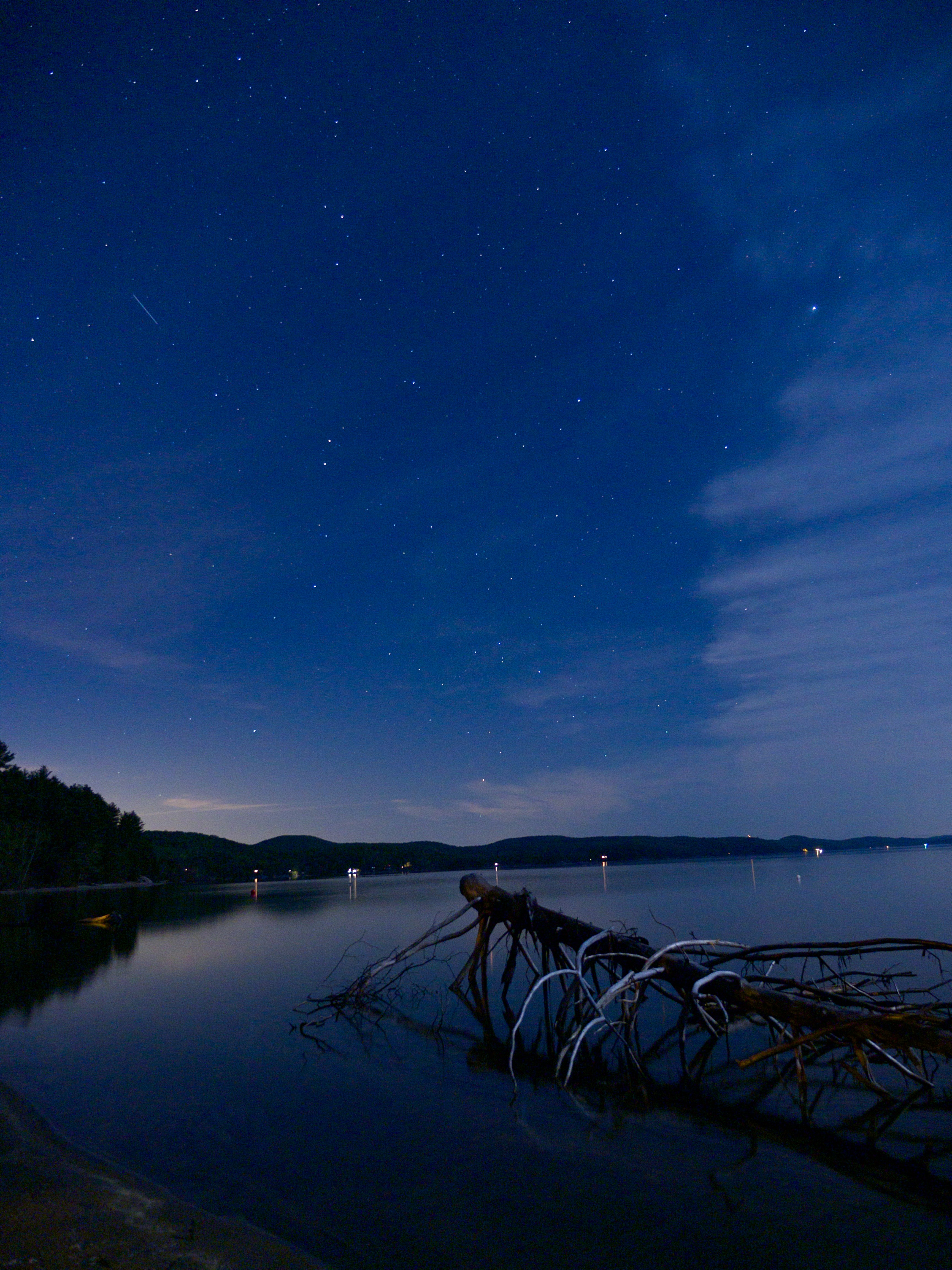
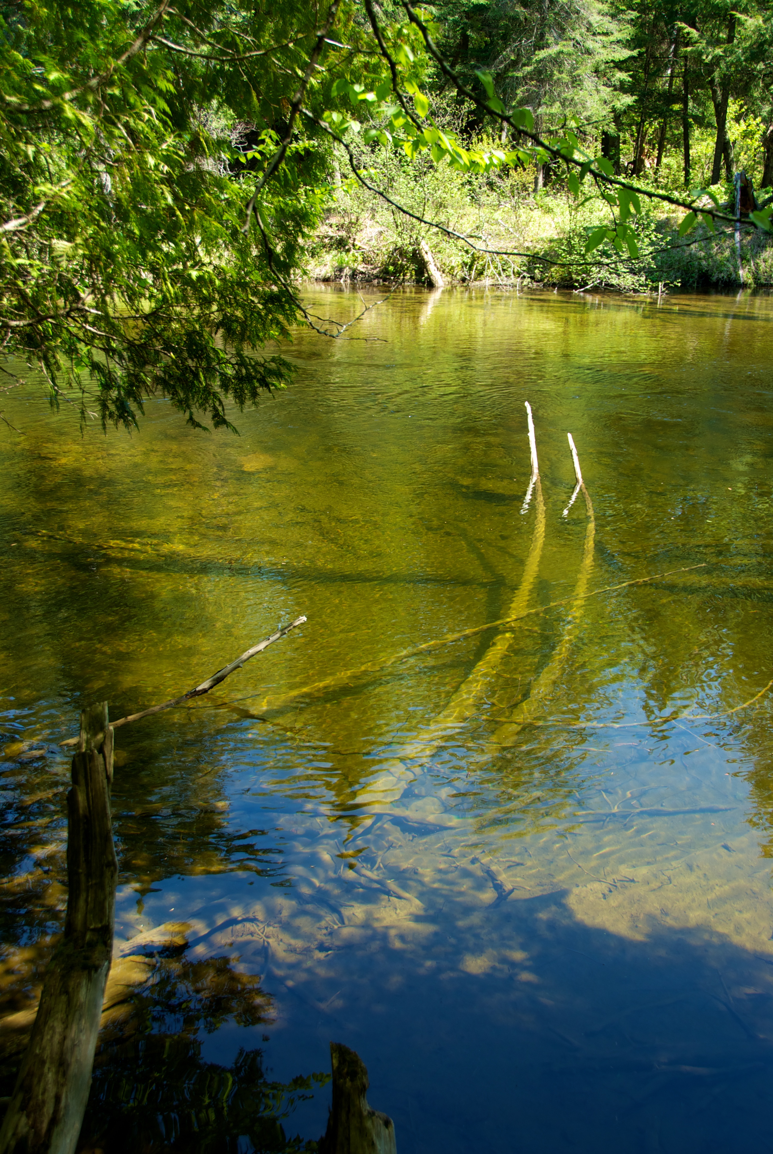
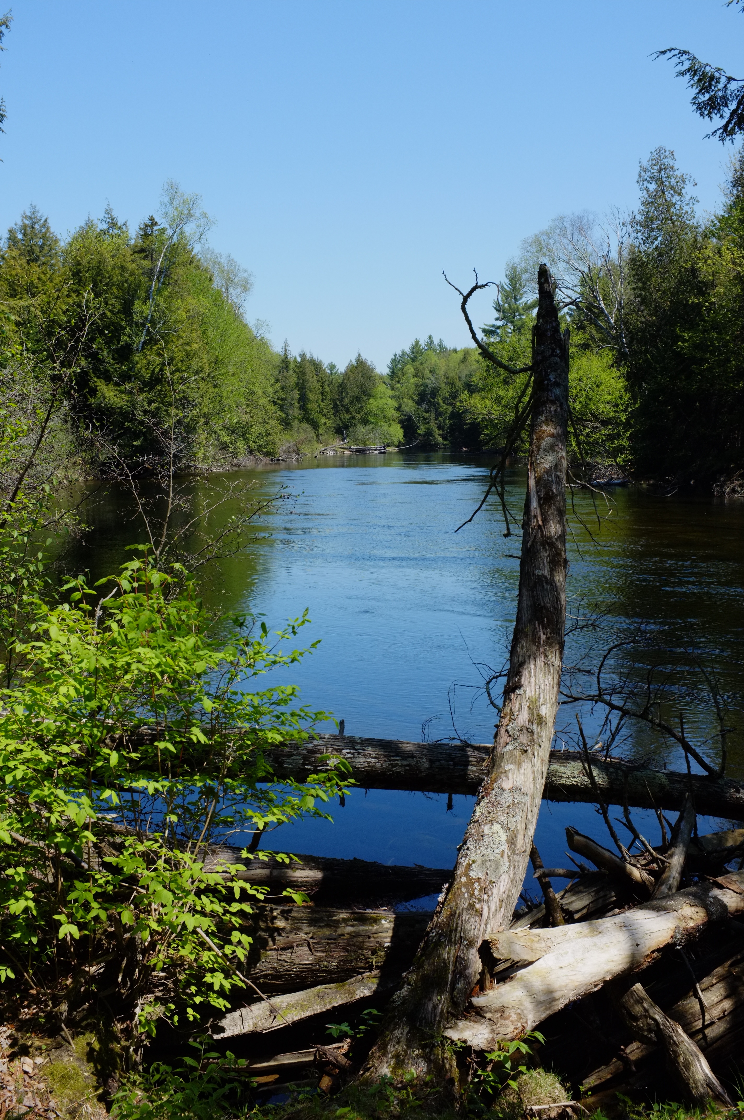
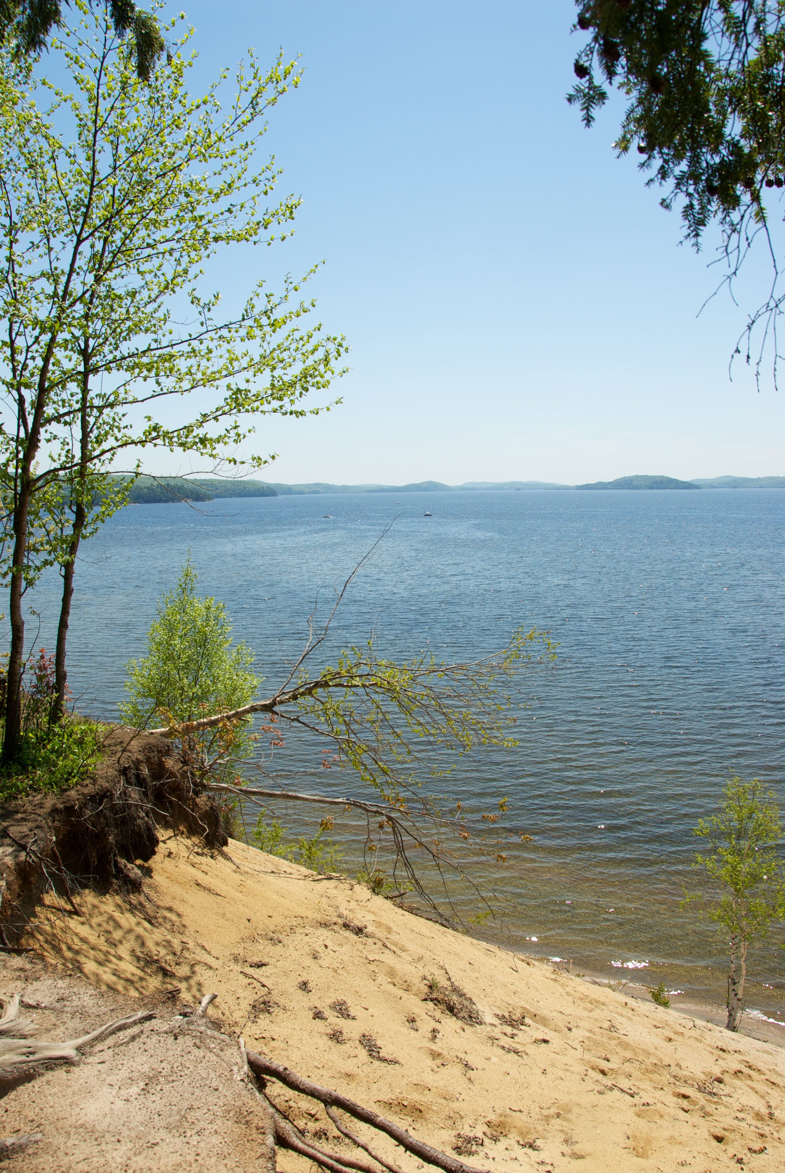
Lac Simon
IMG_6607 copy.jpg
Jour 80 de 365
Lac Simon
Lac Simon
Lac Simon

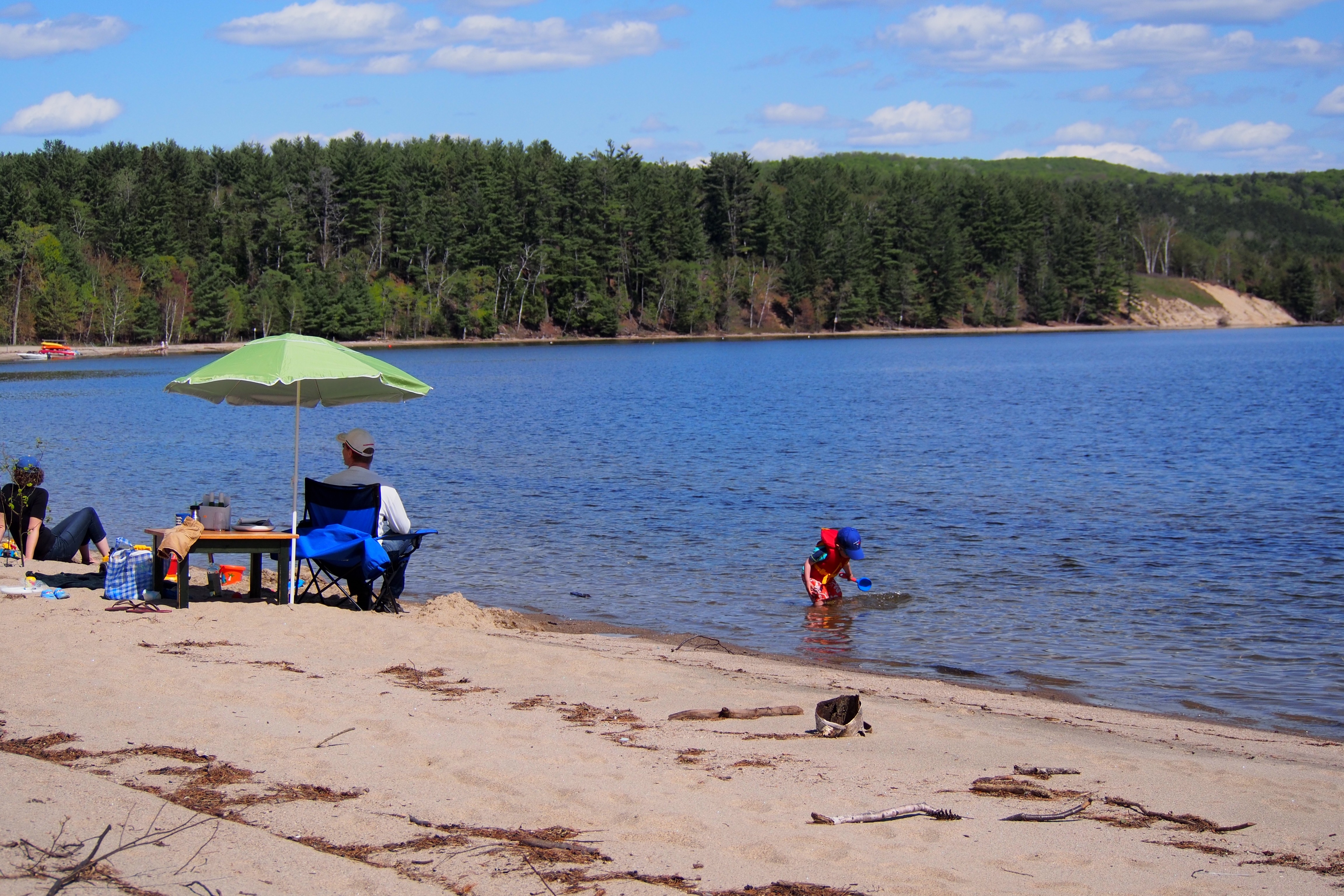
At Centre Touristique Du Lac Simon
Lac Simon

Lac Lajeunesse
Lac Simon

Winter in Quebec
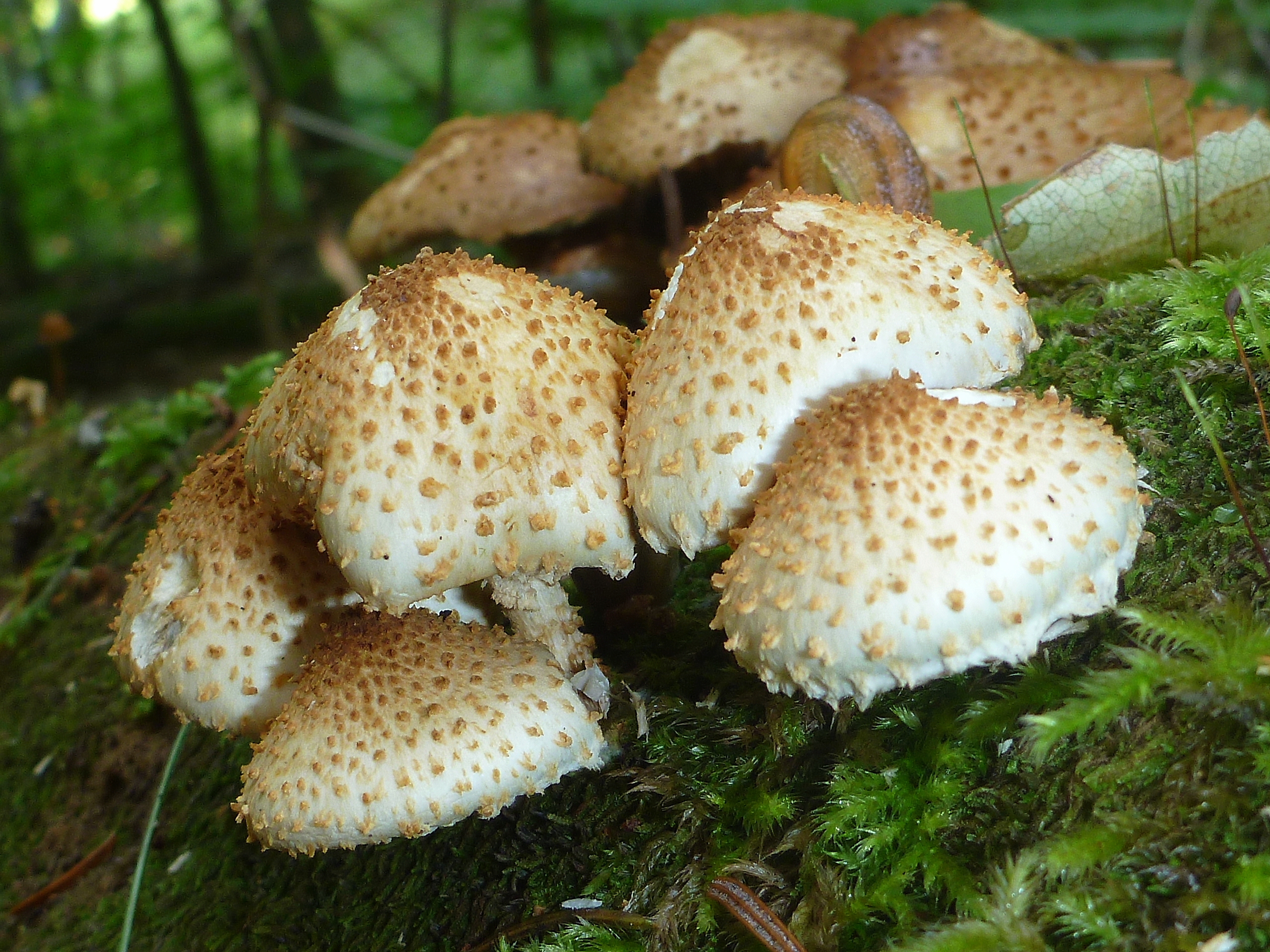
Pholiota squarrosa/squarrossoides

Lac Simon
Topographic Map of Chemin du Tour du Lac, Lac-des-Plages, QC J0T 1K0, Canada
Find elevation by address:

Places near Chemin du Tour du Lac, Lac-des-Plages, QC J0T 1K0, Canada:
509 Chemin Du Tour Du Lac
509 Chemin Du Tour Du Lac
509 Chemin Du Tour Du Lac
Saint-Émile-de-suffolk
341 Montée Archambault
Chemin Leggett
472 Chemin Leggett
1573 Chemin De Boileau
Namur
Amherst
Chemin du Lac Doré N, Duhamel, QC J0V 1G0, Canada
Boileau
Chemin Lavoie
Amherst
2032 Chemin Du Haut Des Côtes
Lac Simon
34 Rue Principale, Chénéville, QC J0V 1E0, Canada
Duhamel
J0v 1n0
Lac-simon
Recent Searches:
- Elevation of Vista Blvd, Sparks, NV, USA
- Elevation of 15th Ave SE, St. Petersburg, FL, USA
- Elevation of Beall Road, Beall Rd, Florida, USA
- Elevation of Leguwa, Nepal
- Elevation of County Rd, Enterprise, AL, USA
- Elevation of Kolchuginsky District, Vladimir Oblast, Russia
- Elevation of Shustino, Vladimir Oblast, Russia
- Elevation of Lampiasi St, Sarasota, FL, USA
- Elevation of Elwyn Dr, Roanoke Rapids, NC, USA
- Elevation of Congressional Dr, Stevensville, MD, USA