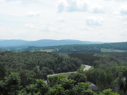
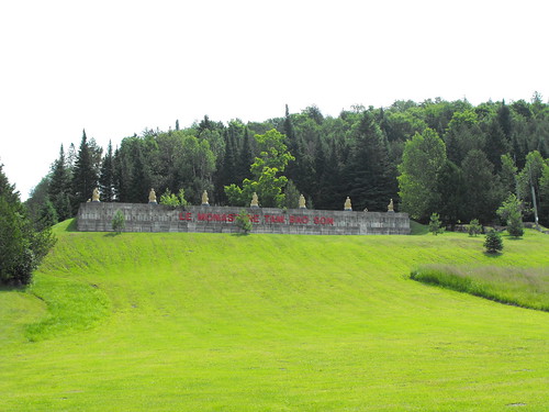
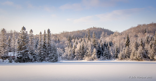
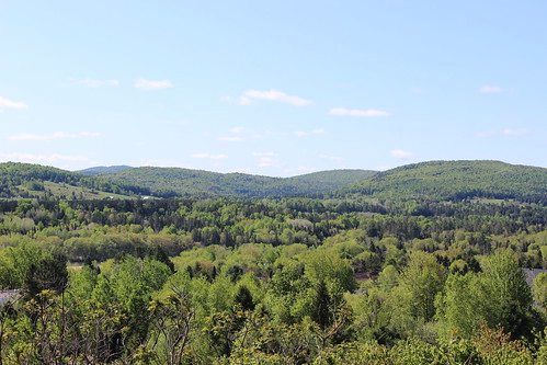
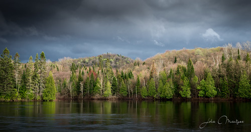
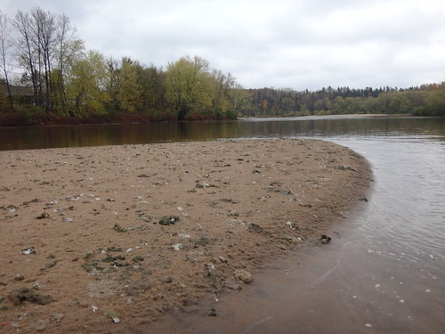
Elevation of Boileau, QC J0V 1N0, Canada
Location: Canada > Québec > Papineau Regional County Municipality >
Longitude: -74.741690
Latitude: 45.8954518
Elevation: 218m / 715feet
Barometric Pressure: 99KPa
Related Photos:
Topographic Map of Boileau, QC J0V 1N0, Canada
Find elevation by address:

Places near Boileau, QC J0V 1N0, Canada:
Boileau
167 Chemin De La Rivière Maskinongé
732 Chemin De La Rivière Rouge
Chemin Lavoie
Amherst
Huberdeau
167 Chemin De La Rivière Rouge
167 Chemin De La Rivière Rouge
167 Chemin De La Rivière Rouge
Huberdeau
Harrington
112 Rue Du Fer à Cheval
Harrington
Arundel
18 Chemin Mountain
Lac-macdonald
Chemin Du Domaine-pépin
1573 Chemin De Boileau
Rue Blue Heron
Chemin Burns
Recent Searches:
- Elevation of Vista Blvd, Sparks, NV, USA
- Elevation of 15th Ave SE, St. Petersburg, FL, USA
- Elevation of Beall Road, Beall Rd, Florida, USA
- Elevation of Leguwa, Nepal
- Elevation of County Rd, Enterprise, AL, USA
- Elevation of Kolchuginsky District, Vladimir Oblast, Russia
- Elevation of Shustino, Vladimir Oblast, Russia
- Elevation of Lampiasi St, Sarasota, FL, USA
- Elevation of Elwyn Dr, Roanoke Rapids, NC, USA
- Elevation of Congressional Dr, Stevensville, MD, USA

