Elevation of Cheesy Creek Rd, Princeton, WV, USA
Location: United States > West Virginia > Mercer County > Iii > Princeton >
Longitude: -80.918940
Latitude: 37.3773129
Elevation: 822m / 2697feet
Barometric Pressure: 92KPa
Elevation Map:
Satellite Map:
Related Photos:
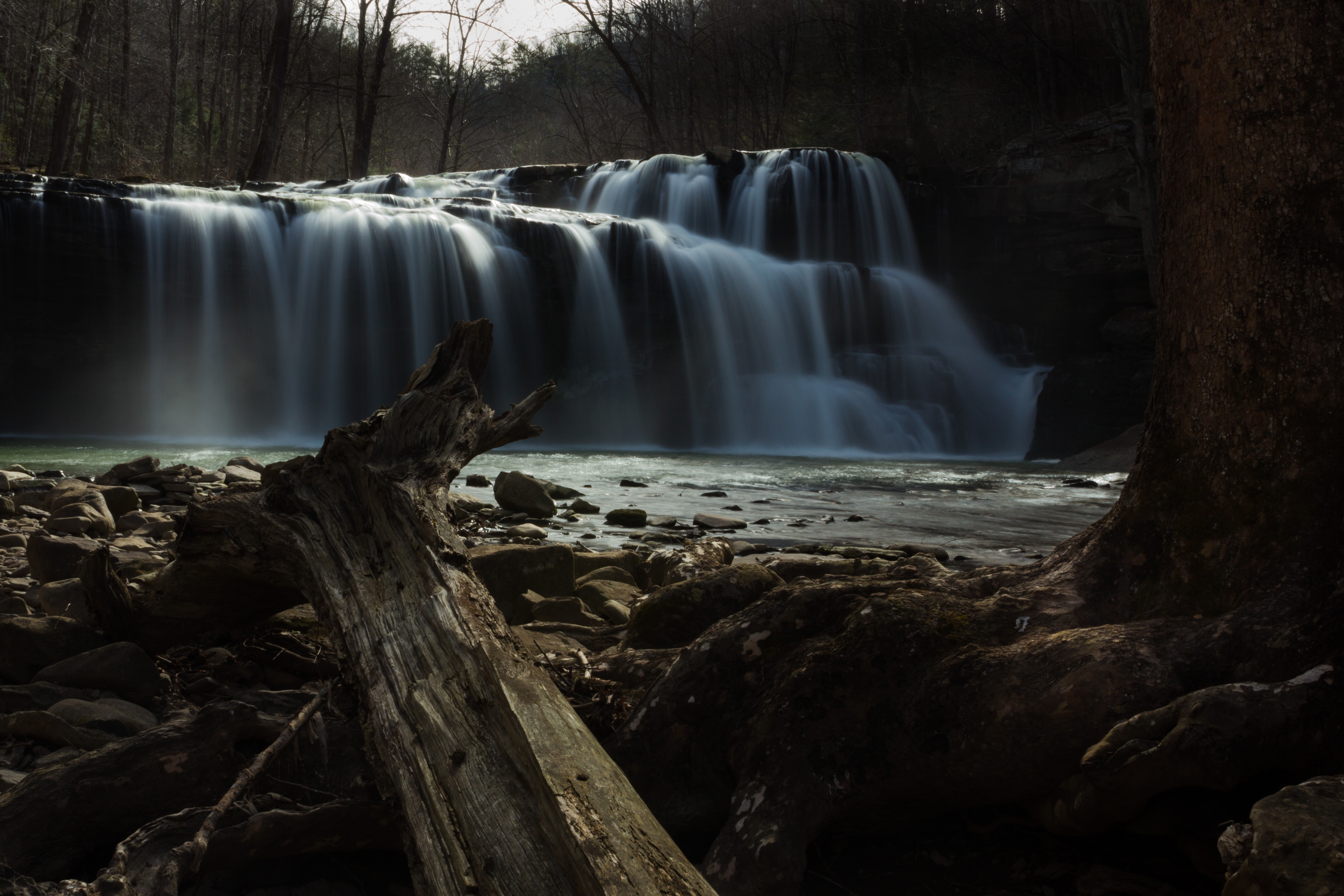
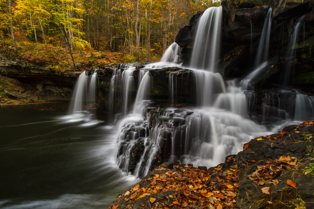
Falls and Log
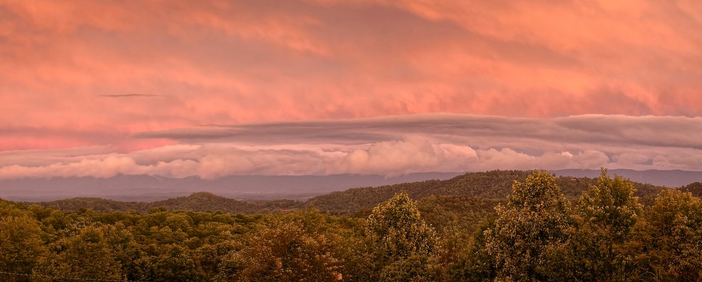
Culturefest Clouds

US Highway 460, Pearisburg, Virginia
Texture of terrain and clouds

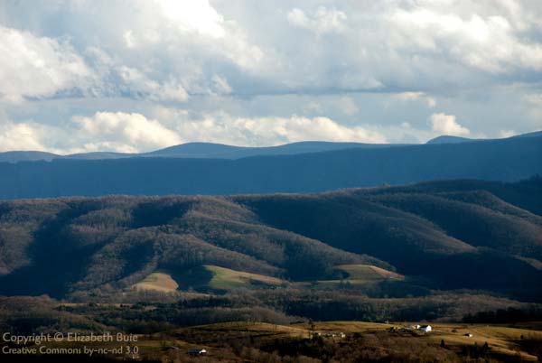
View from mountain in Princeton WV

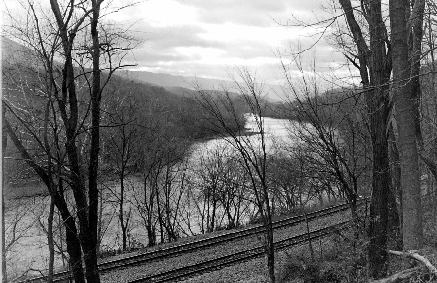
Under the narrows Bridge with hoppers

IMG_0106_View of New River under the bridge_Pearisburg_080526

Texture of terrain and clouds
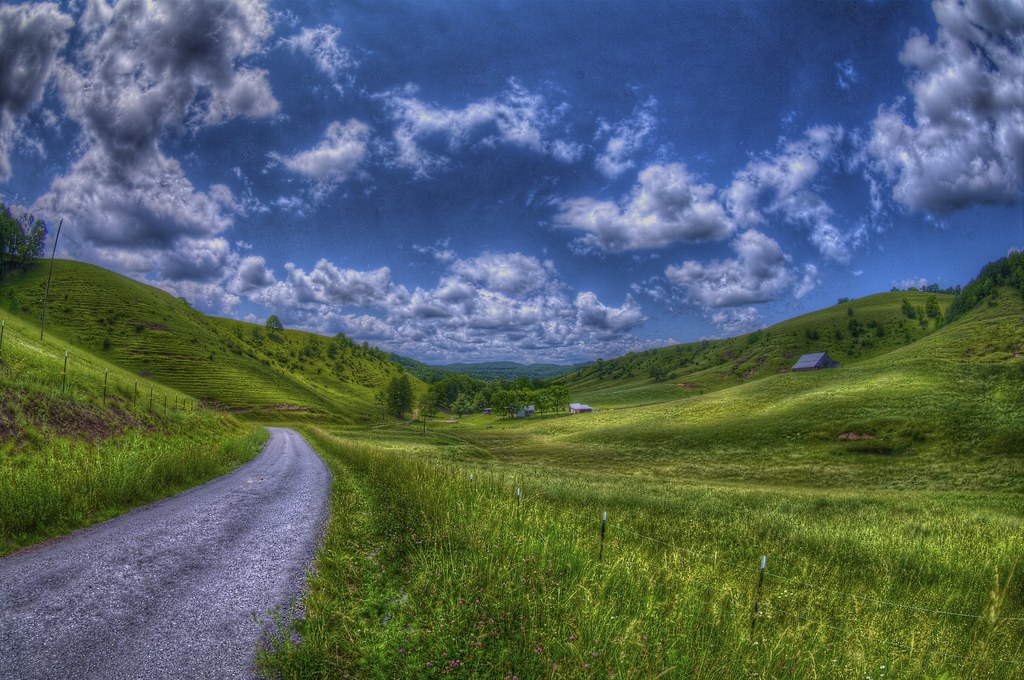
Small town in the hills

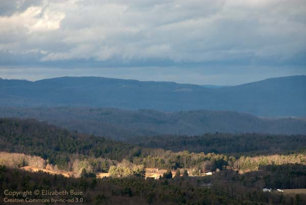
View from mountain in Princeton WV
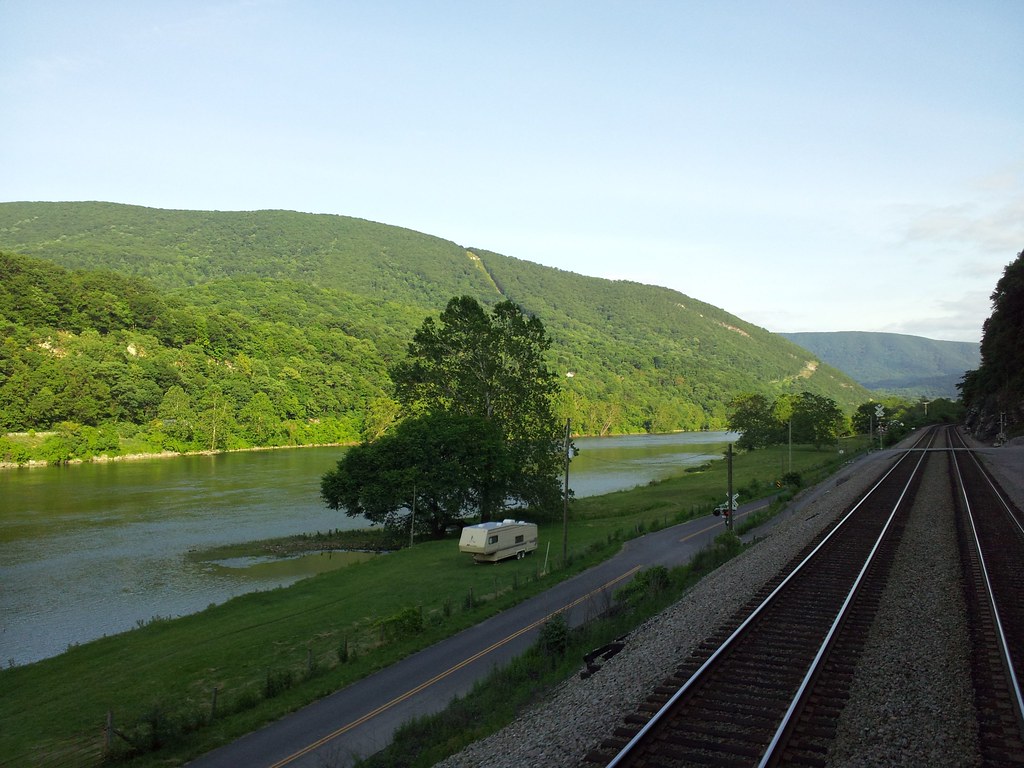
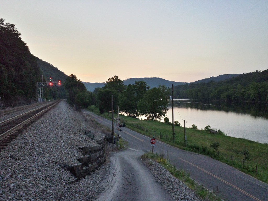
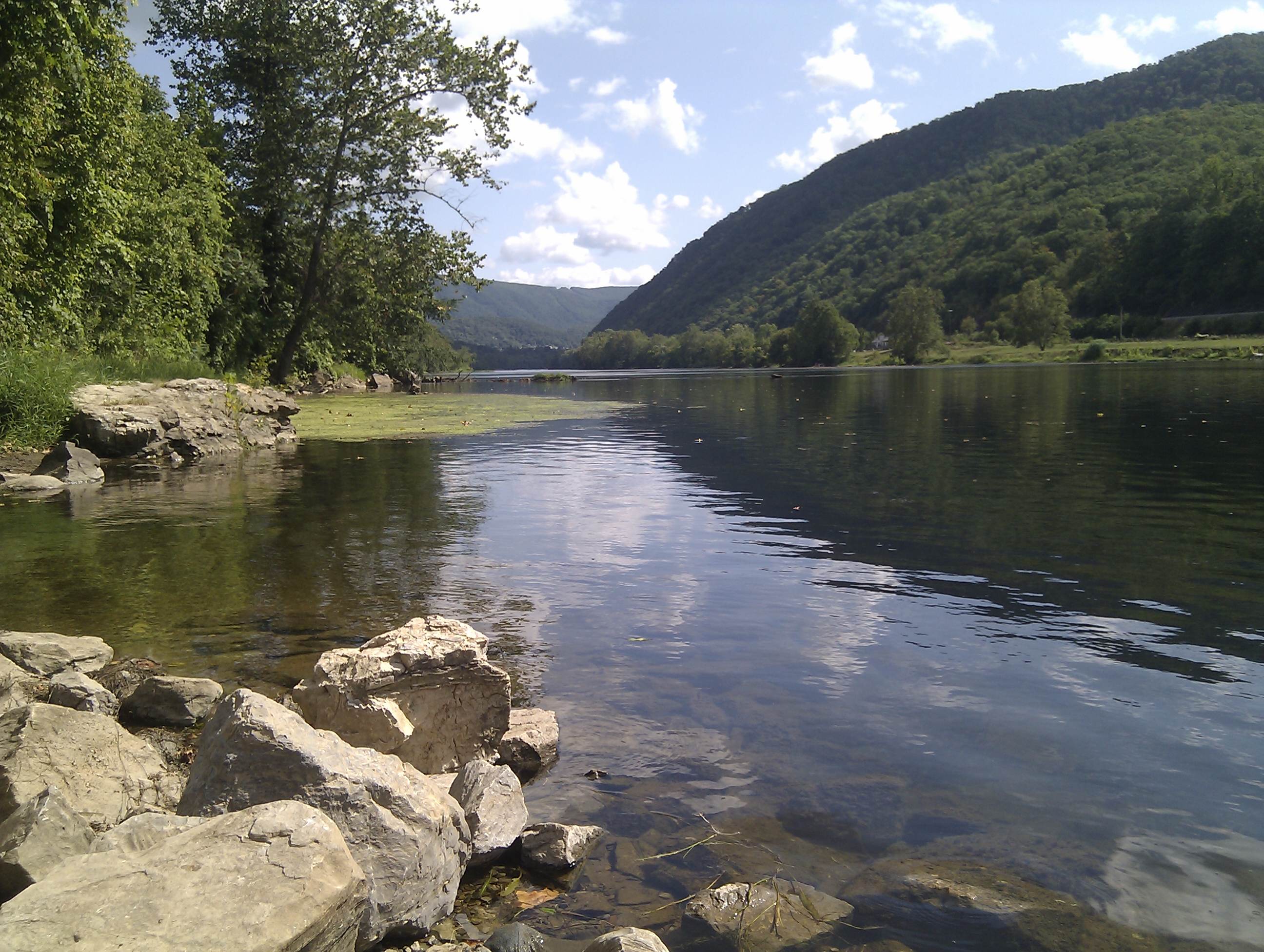
New River

beautiful view near rich creek

IMG_0102_First Views of Pearisburg near VA 460

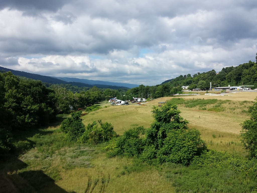
View from mountain in Princeton WV
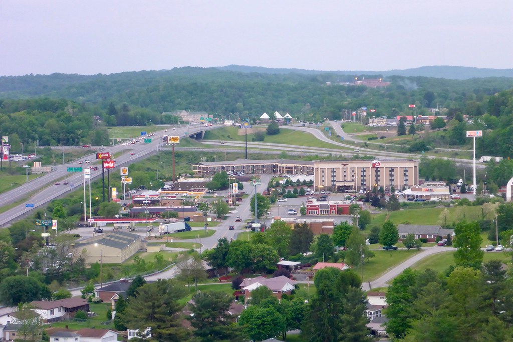
View from mountain in Princeton WV

View from mountain in Princeton WV

View from mountain in Princeton WV

View from mountain in Princeton WV

View from mountain in Princeton WV
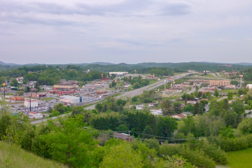
View from mountain in Princeton WV

View from mountain in Princeton WV
A New Perspective
Fall morning on the New River

By the light of the Harvest Moon
New River

New River (15/52)

Narrows, Virginia

JFRM-2017-05-7843.jpg
Mill Creek Falls
JFRM-2017-05-7830-Pano.jpg

Fence in the foreground

Brush Creek Falls
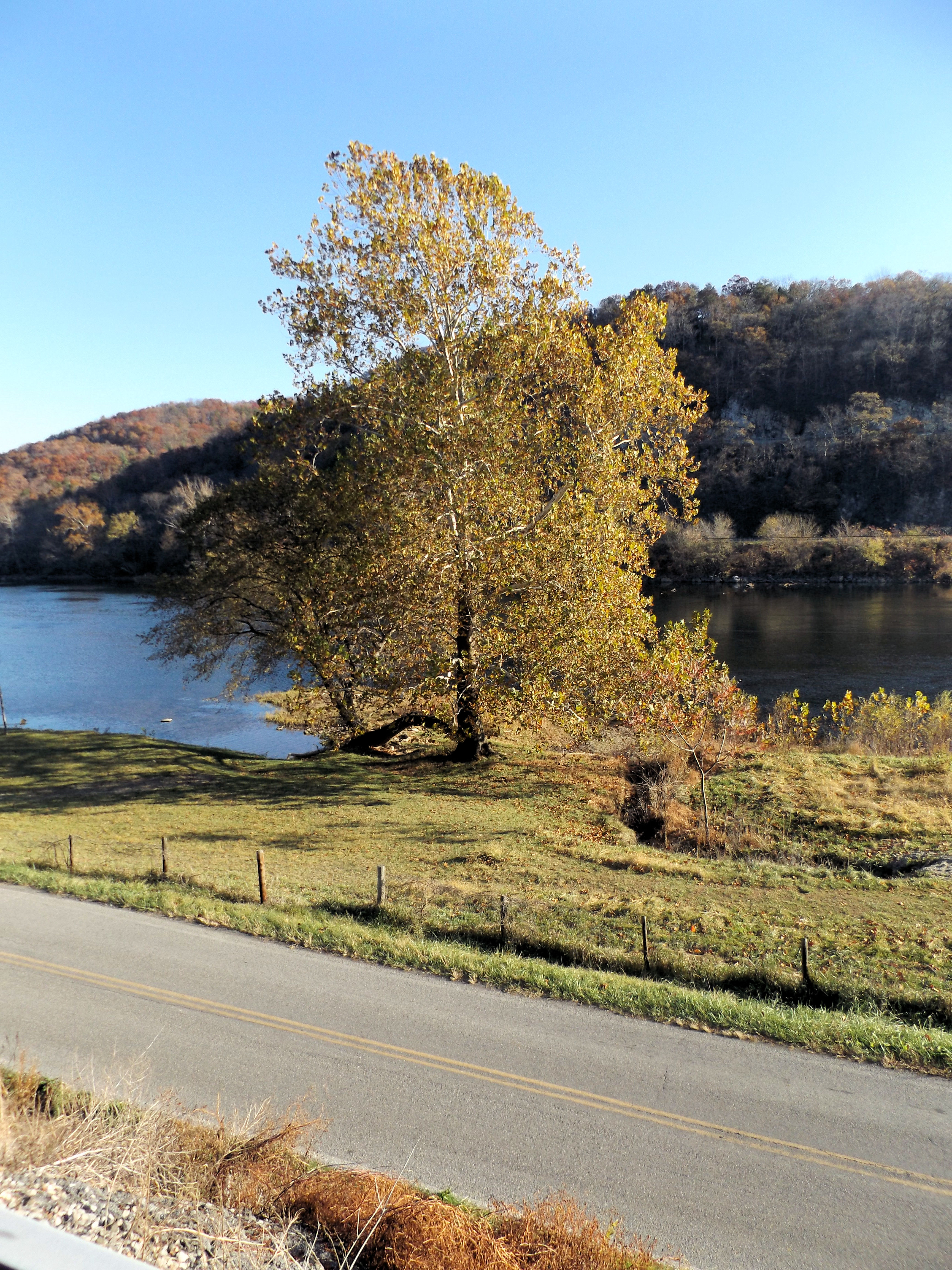
New River
Farm Above Bluestone Lake
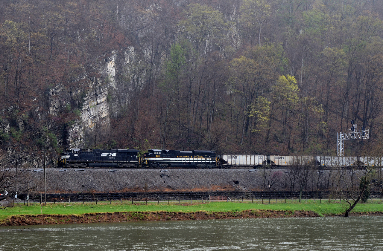
NS ES44AC-8088, S&A SD70ACe-1065 E/B 576 at Robinson, VA
New River Narrows Va.

The Duck Pond
HDR of robinson from the road
Narrows on the S4
New River downstream from Pearisburg
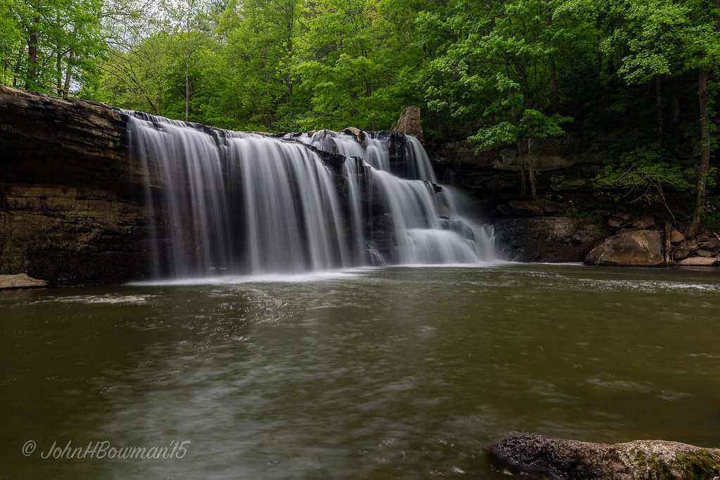
Brush Creek Falls
Topographic Map of Cheesy Creek Rd, Princeton, WV, USA
Find elevation by address:

Places near Cheesy Creek Rd, Princeton, WV, USA:
New River
Whitlow Road
Reed Rd, Glen Lyn, VA, USA
Glen Lyn
Lovern
3006 Old Wolf Creek Rd
2822 Old Wolf Creek Rd
Four Seasons Antiques Mall
208 Vermillion St
Athens
4908 Wolf Creek Hwy
Hardy
Wilshire Circle
8046 Wv-112
Dry Fork Road
Princeton, WV, USA
Freight Station Pl, Princeton, WV, USA
700 Gardner Loop Rd
58 Co Hwy 44/10
270 Hardwood Ln
Recent Searches:
- Elevation of 3 Nestling Wood Dr, Long Valley, NJ, USA
- Elevation of Ilungu, Tanzania
- Elevation of Yellow Springs Road, Yellow Springs Rd, Chester Springs, PA, USA
- Elevation of Rēzekne Municipality, Latvia
- Elevation of Plikpūrmaļi, Vērēmi Parish, Rēzekne Municipality, LV-, Latvia
- Elevation of 2 Henschke Ct, Caboolture QLD, Australia
- Elevation of Redondo Ave, Long Beach, CA, USA
- Elevation of Sadovaya Ulitsa, 20, Rezh, Sverdlovskaya oblast', Russia
- Elevation of Ulitsa Kalinina, 79, Rezh, Sverdlovskaya oblast', Russia
- Elevation of 72-31 Metropolitan Ave, Middle Village, NY, USA