Elevation of 58 Co Hwy 44/10, Princeton, WV, USA
Location: United States > West Virginia > Mercer County > Ii >
Longitude: -81.073841
Latitude: 37.3802277
Elevation: -10000m / -32808feet
Barometric Pressure: 295KPa
Elevation Map:
Satellite Map:
Related Photos:

NS @ Ada, WV.

Falls and Log

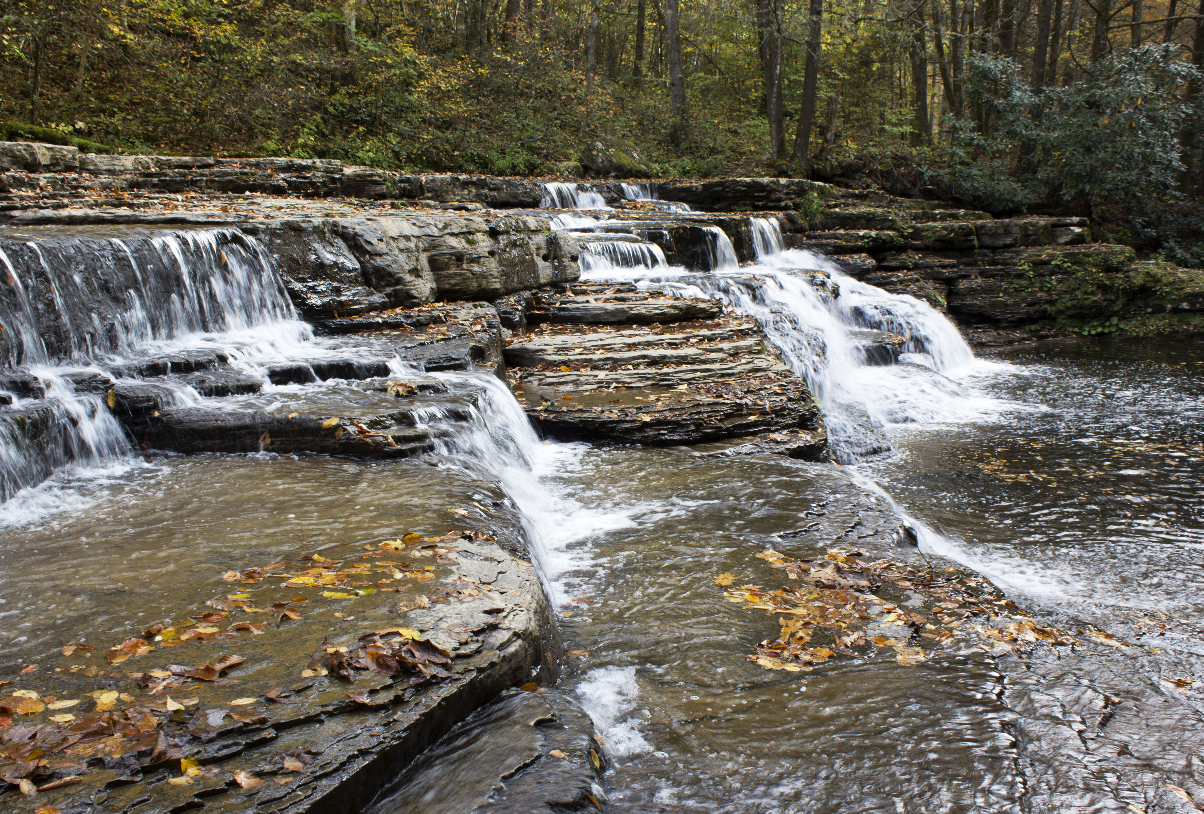
Brush Creek Falls

White Hall before demolition, Concord College (now Concord University), Athens, WV, 2000

Brush Creek Falls

West Virginia Scenic View 2019

Athens, WV, 2000

NS @ Ada, WV.

EAST RIVER MOUNTAIN

Night view from Days Inn Princeton

Long exposure effects, 2000

Panning, take #6

Tank in Princeton, WV, 2000

Athens, WV, 2000

View from mountain in Princeton WV
ShooTinG MaTch ->
EAST RIVER MOUNTAIN

EAST RIVER MOUNTAIN

EAST RIVER MOUNTAIN

EAST RIVER MOUNTAIN

View from mountain in Princeton WV

Scenic Overlook Panorama

A Rarity

Mash Fork Falls

Bluestone River Overlook

Wild and Wonderful

Wolf Creek Bridge

Mash Fork Falls 003

Bluestone River Overlook_BW
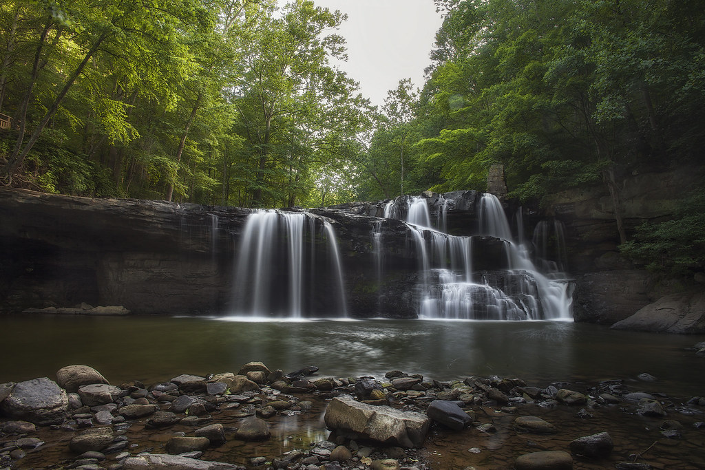
Campbell Falls

Thread-legged Bug, Subfamily Emesinae, F. Reduviidae

Campbell Falls Panorama

Campbell Falls 002

Brush Creek Falls

Mash Fork Falls 002

Mash Fork Falls

Campbell Falls

Campbell Falls
Big, bigger, biggest

BrushCreekFalls1_Dec_27_2015-3

Campbell Falls Upstream Cascade
Topographic Map of 58 Co Hwy 44/10, Princeton, WV, USA
Find elevation by address:

Places near 58 Co Hwy 44/10, Princeton, WV, USA:
815 Straley Ave
1026 Thornton Ave
West Virginia 20
700 Gardner Loop Rd
1006 Meador St
1068 Low Gap Rd
Princeton
1501 E Main St
Wilshire Circle
Mercer County Courthouse
1917 W Main St
270 Hardwood Ln
2951 Rocky Branch Rd
Ii
1042 Black Oak Rd
Princeton, WV, USA
Freight Station Pl, Princeton, WV, USA
Mercer County
Athens
New Hope Rd, Princeton, WV, USA
Recent Searches:
- Elevation of Vista Blvd, Sparks, NV, USA
- Elevation of 15th Ave SE, St. Petersburg, FL, USA
- Elevation of Beall Road, Beall Rd, Florida, USA
- Elevation of Leguwa, Nepal
- Elevation of County Rd, Enterprise, AL, USA
- Elevation of Kolchuginsky District, Vladimir Oblast, Russia
- Elevation of Shustino, Vladimir Oblast, Russia
- Elevation of Lampiasi St, Sarasota, FL, USA
- Elevation of Elwyn Dr, Roanoke Rapids, NC, USA
- Elevation of Congressional Dr, Stevensville, MD, USA