Elevation of Chattahoochee National Forest, Suches, GA, USA
Location: United States > Georgia > Union County > Suches >
Longitude: -84.143513
Latitude: 34.7659711
Elevation: 746m / 2447feet
Barometric Pressure: 93KPa
Elevation Map:
Satellite Map:
Related Photos:

My 63.5 Ford Falcon Sprint with the silos
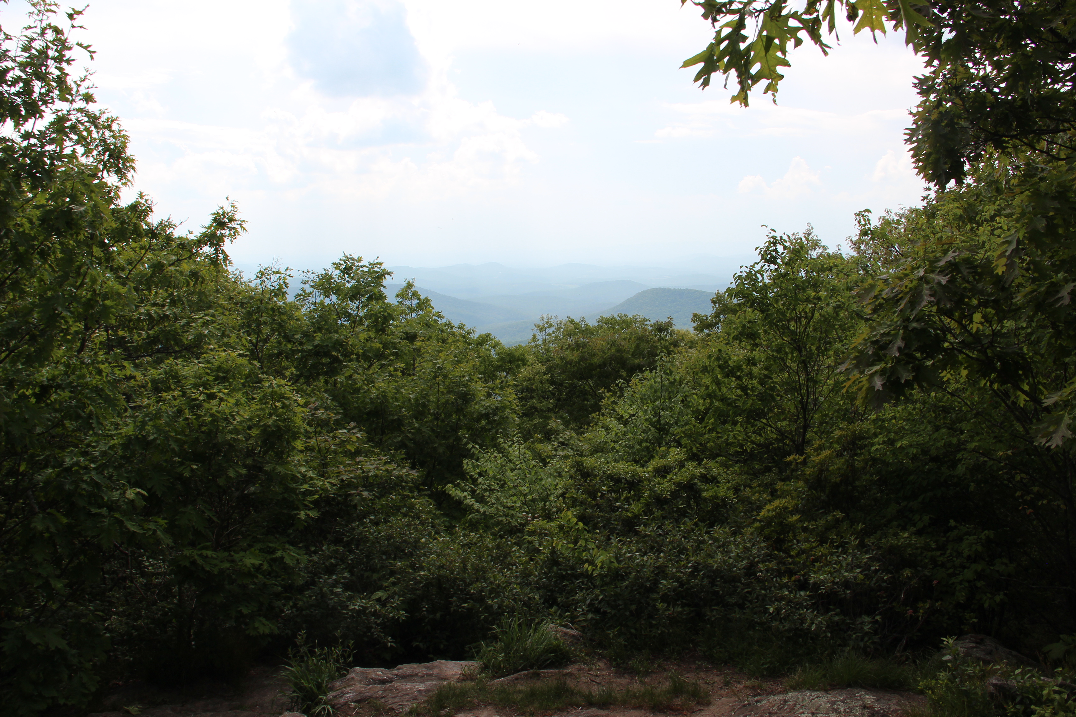
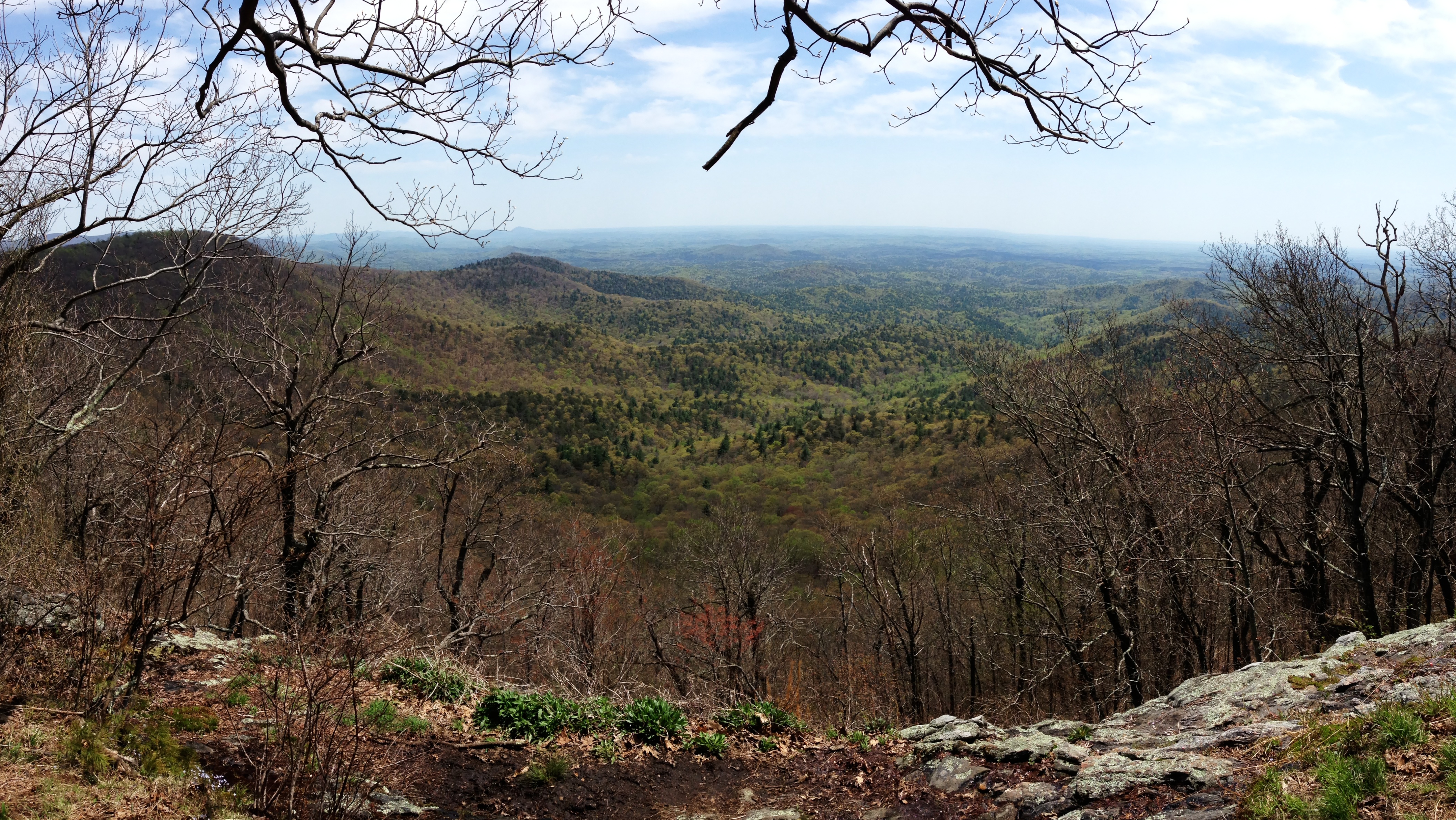
Springer Mountain view

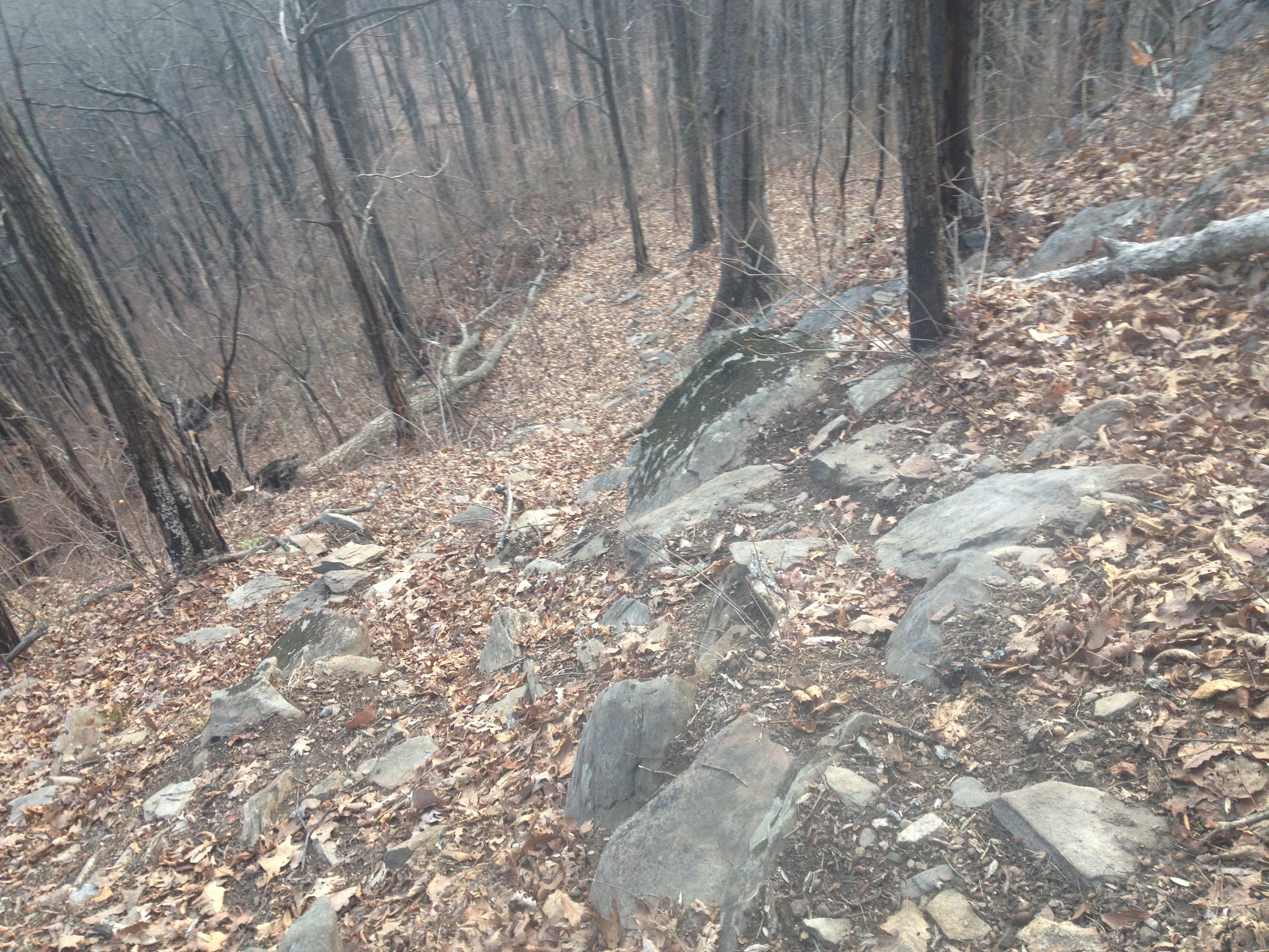
View Ahead on the Winding Stair Knob Ridge Trail
View Back Down the Winding Stair Knob Ridge Trail
View From Near PR Gap

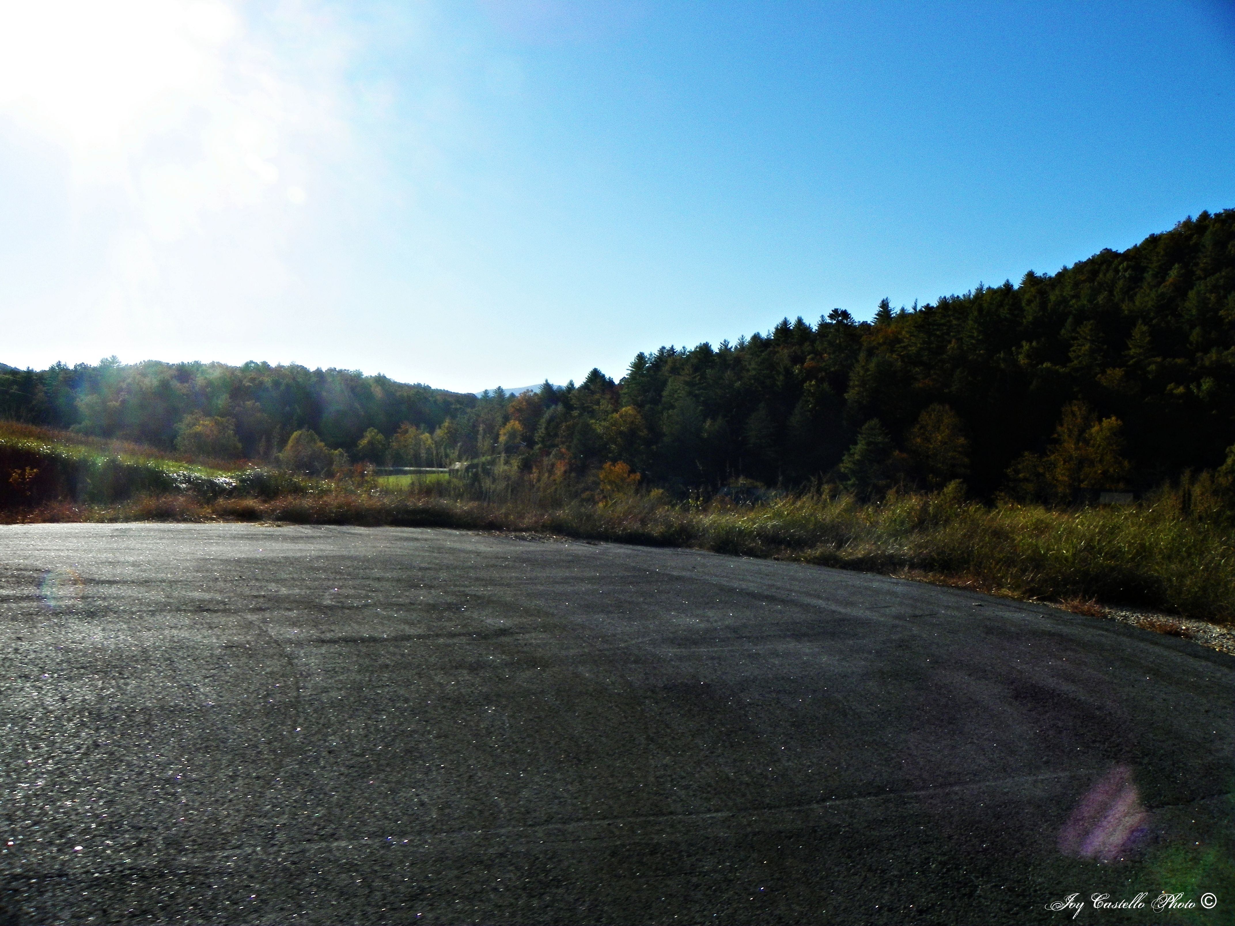
Rear-view dirt road
Cooper Creek , GA
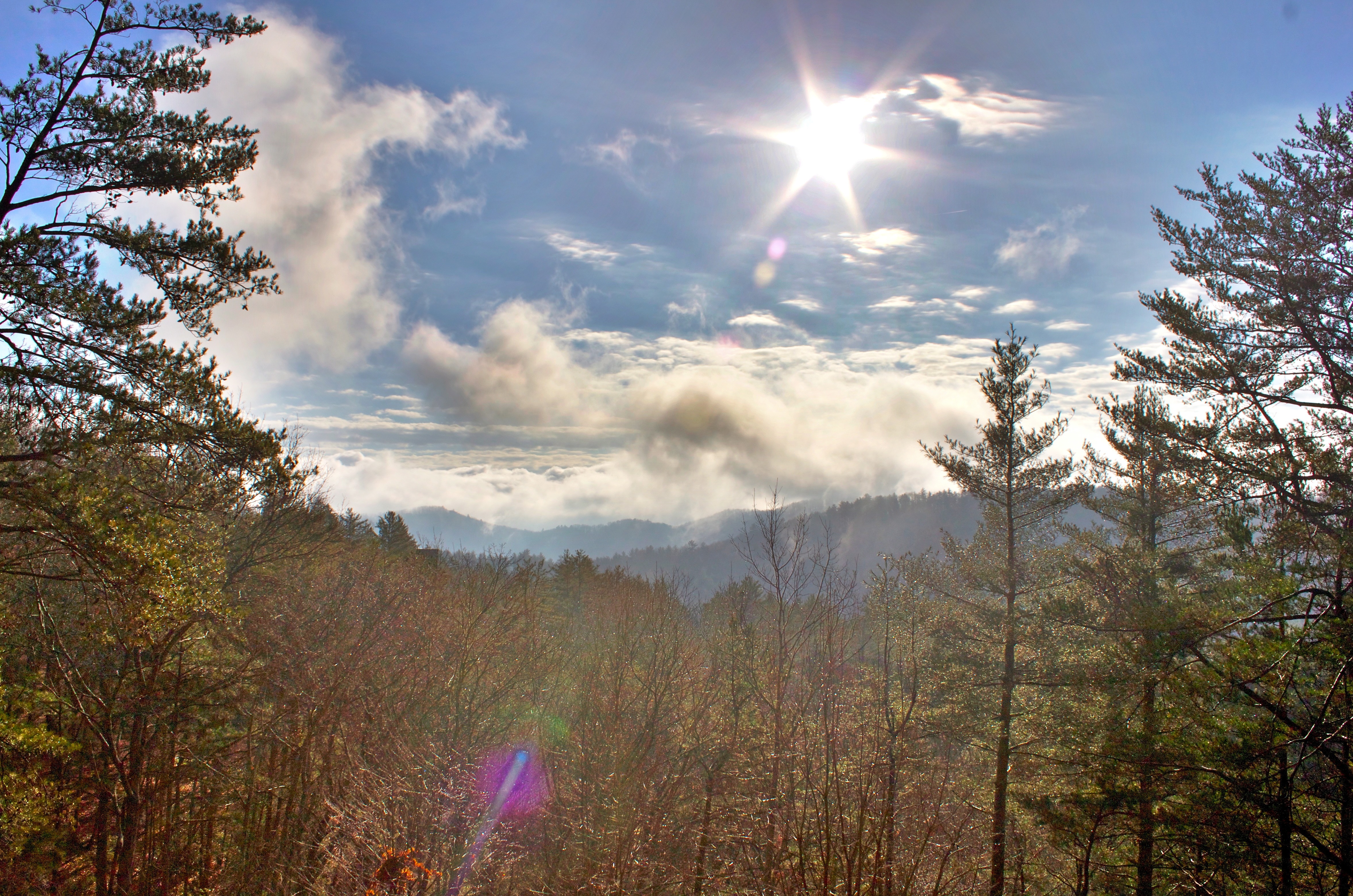
mountain view1 (hdr)
View from Gazebo-Suches Georgia

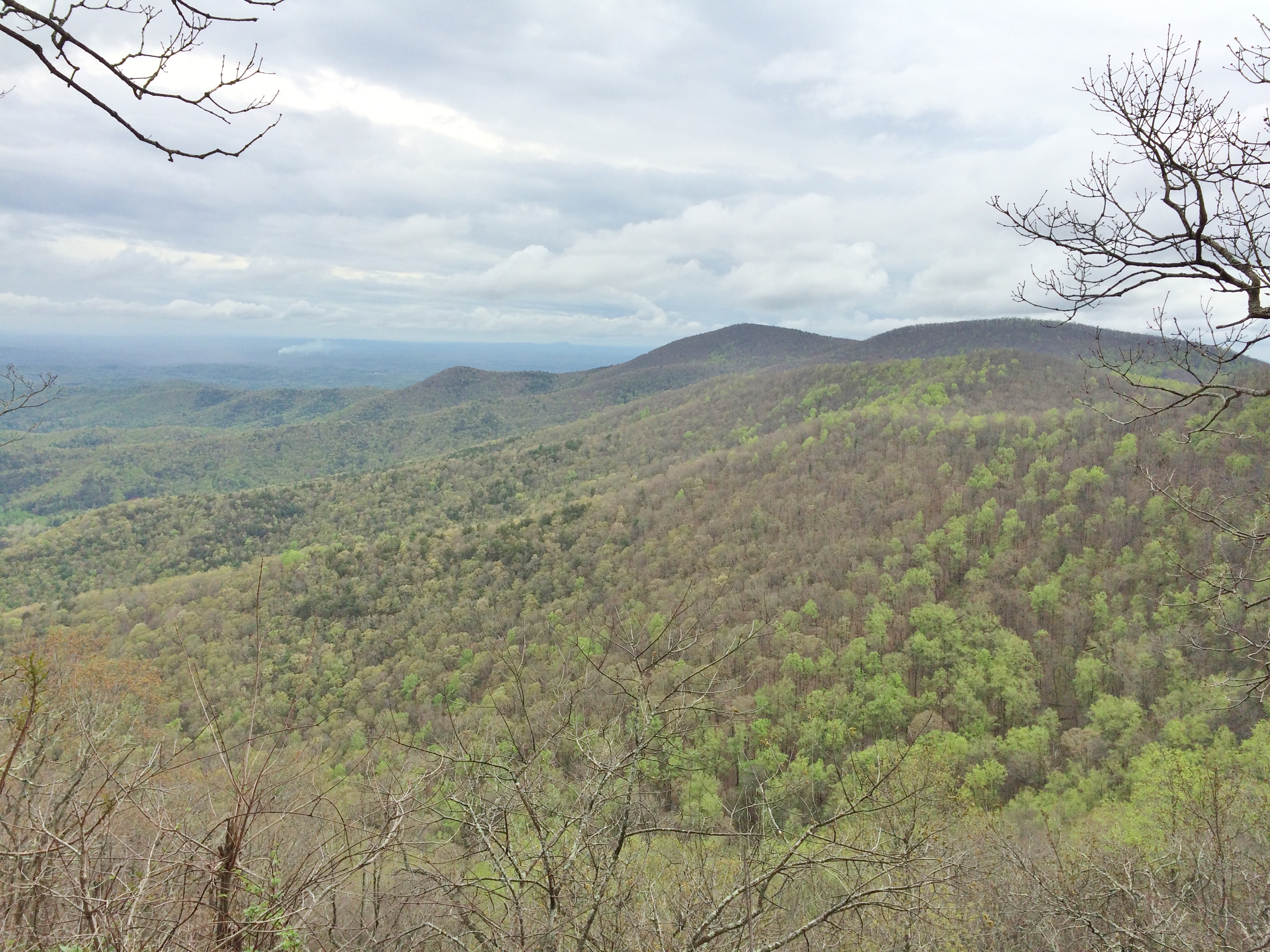
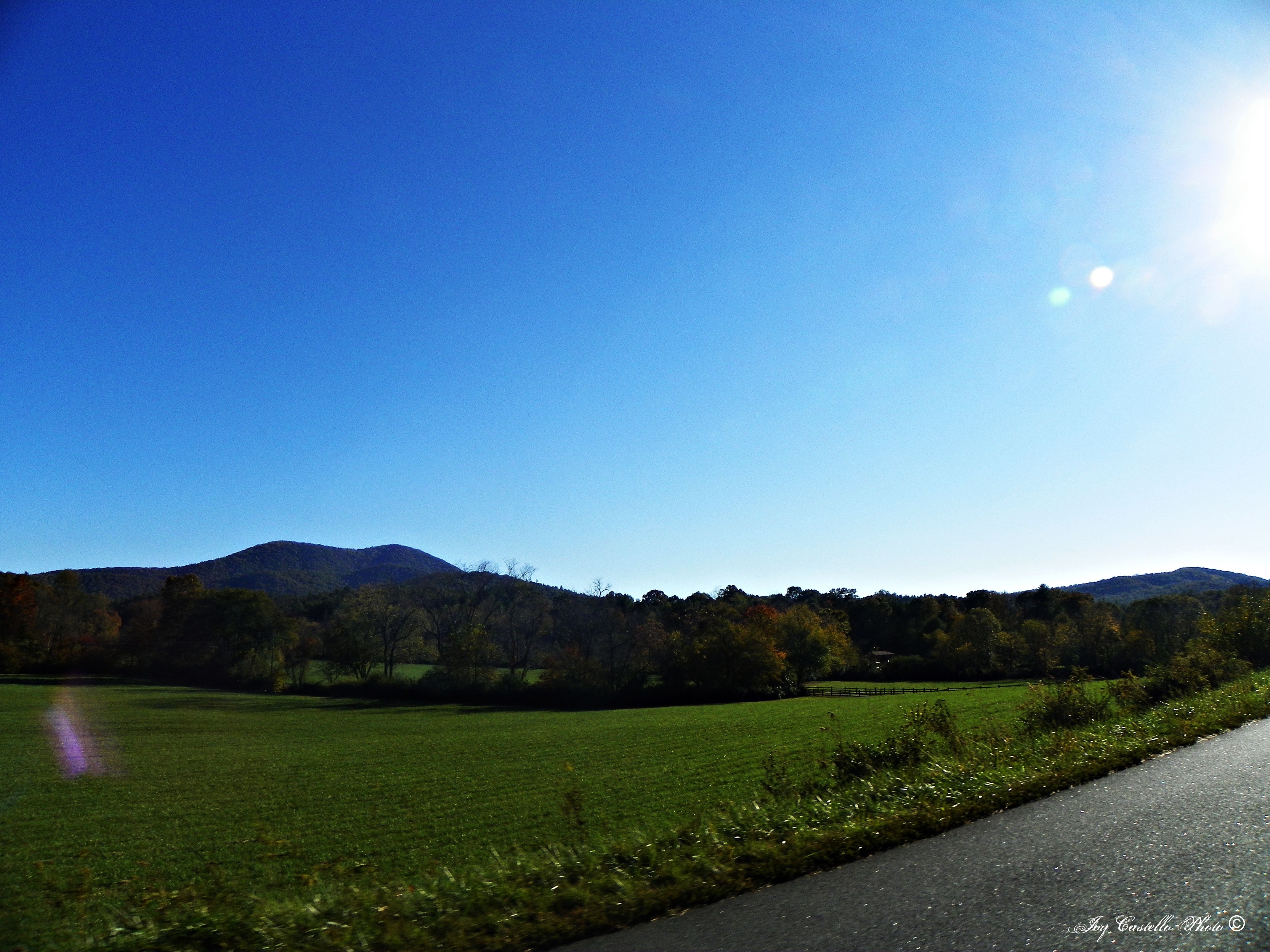
Georgia mountains
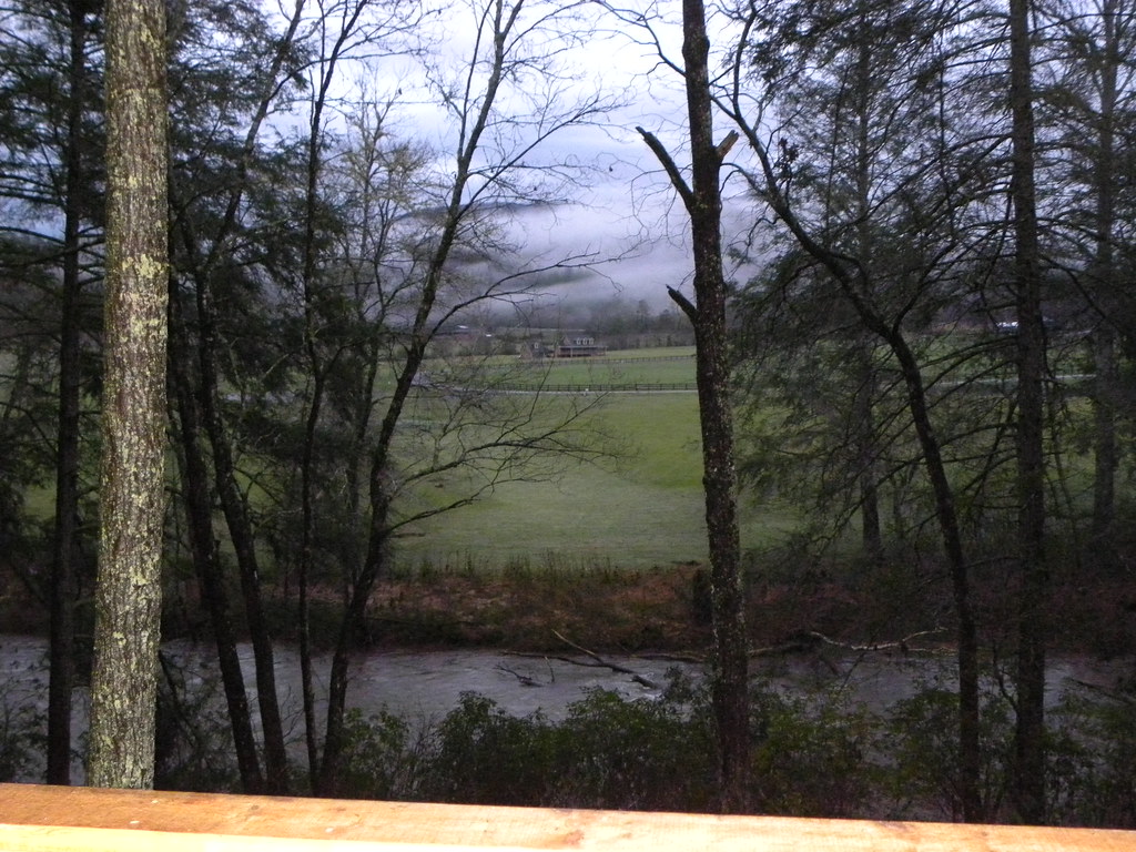
View from the office tonight.
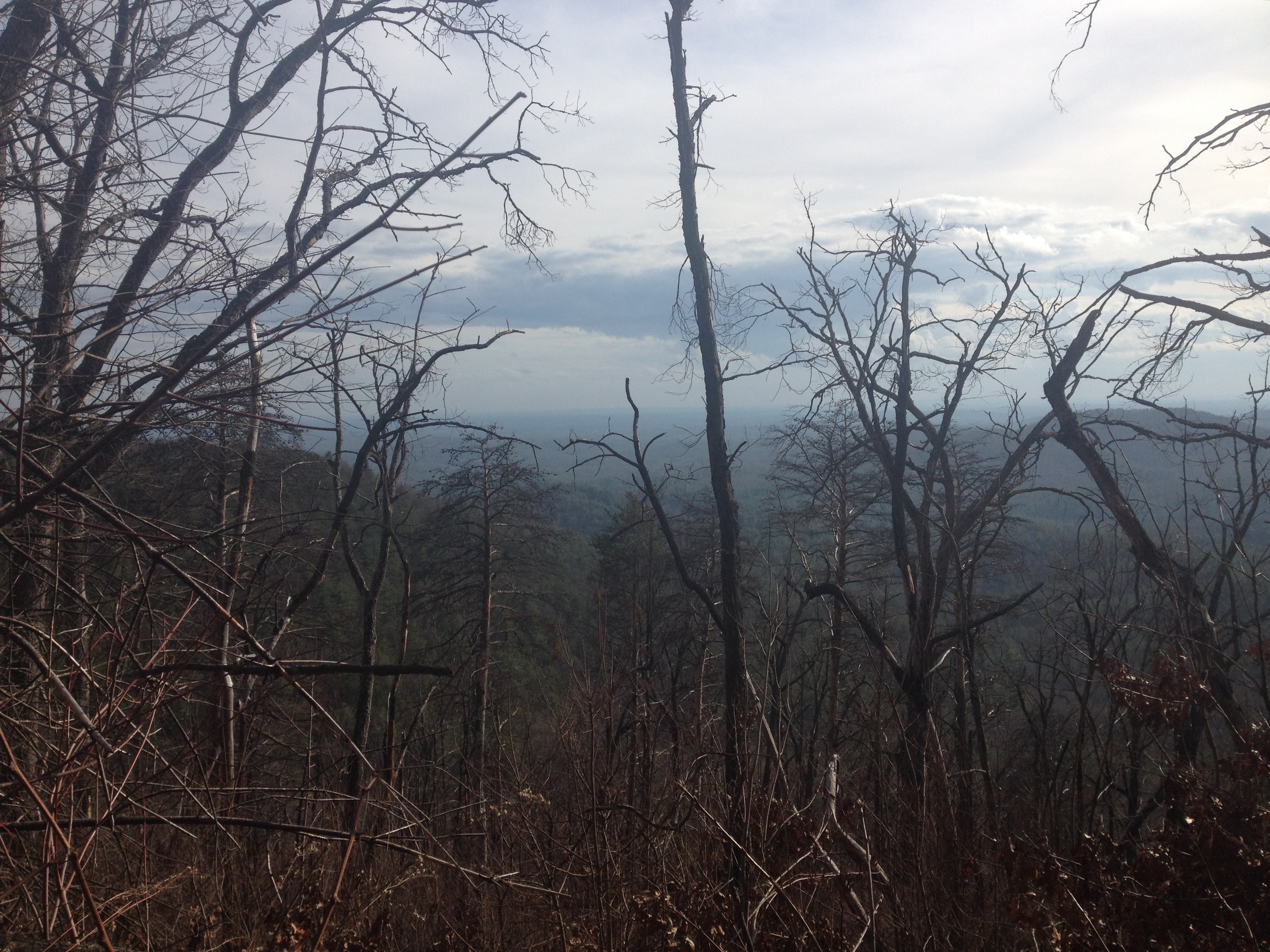
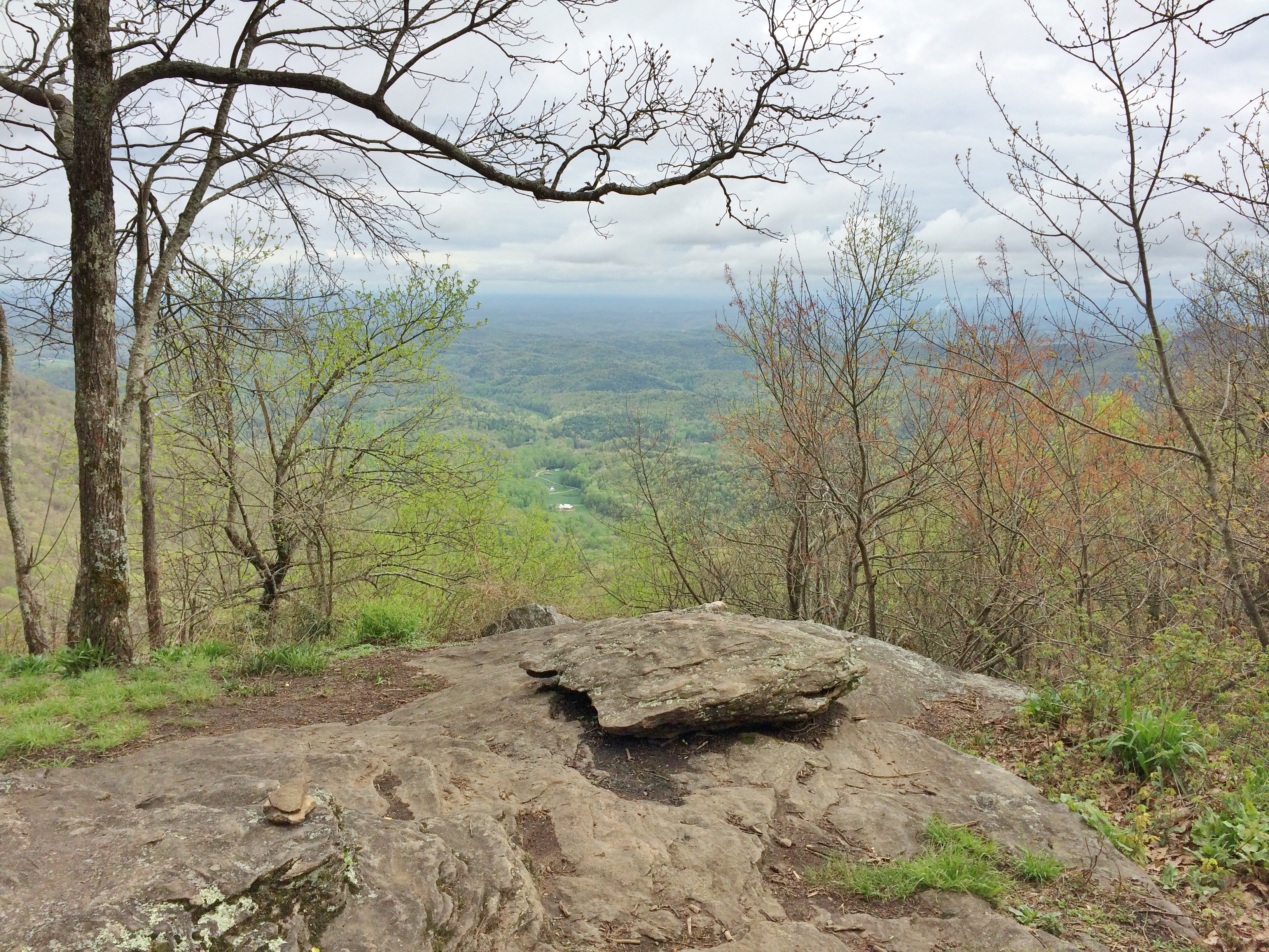
View From NW Side of Weeks Mtn
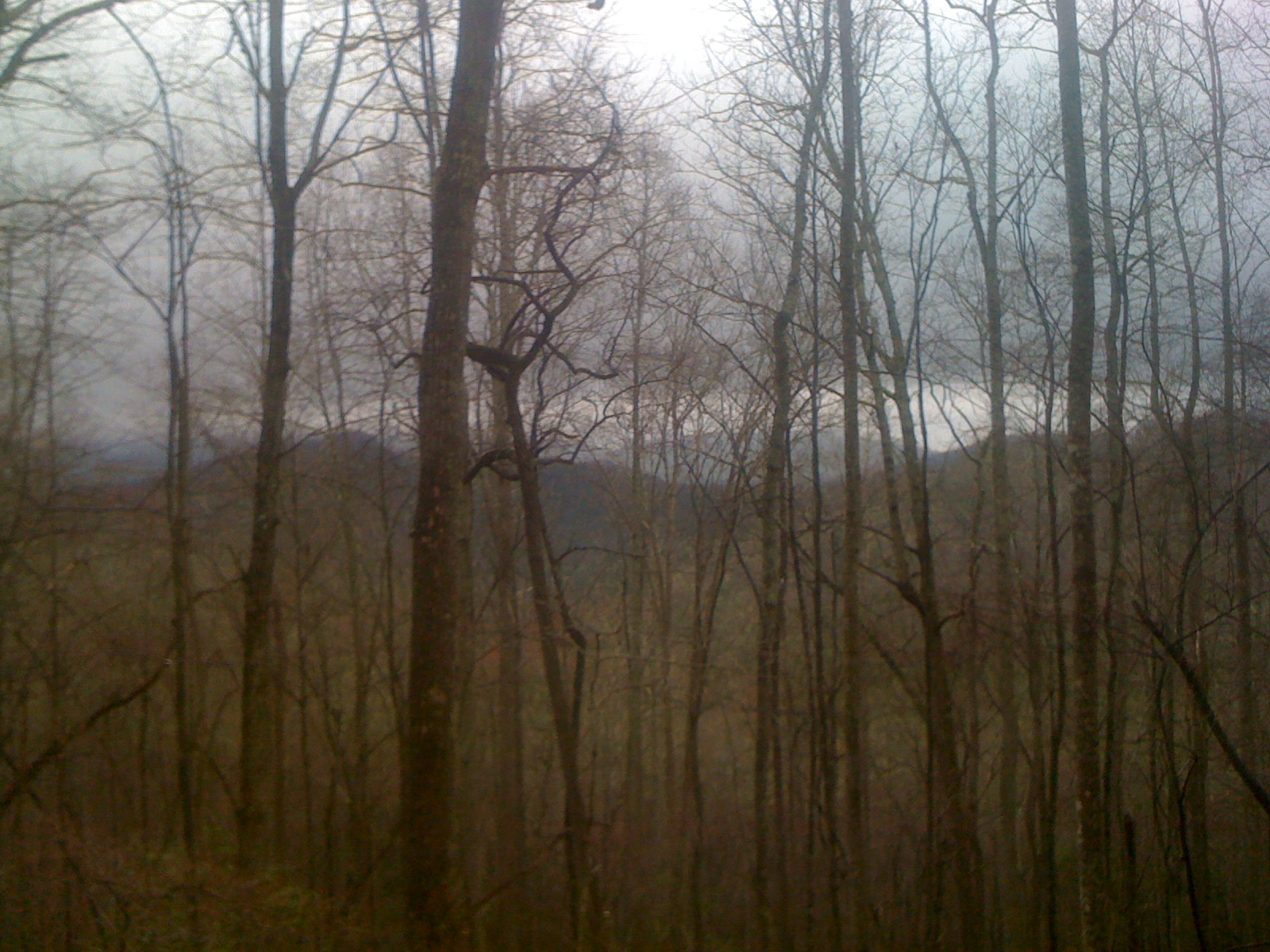
Morning Fog

Fairly Unobstructed View
View Off Of The Benton MacKaye Trail
View from Ramrock Mountain
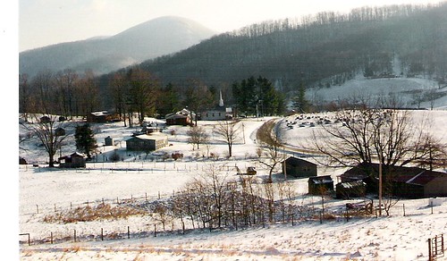
Cul-de-sac View of Mountains in Fannin County, Georgia
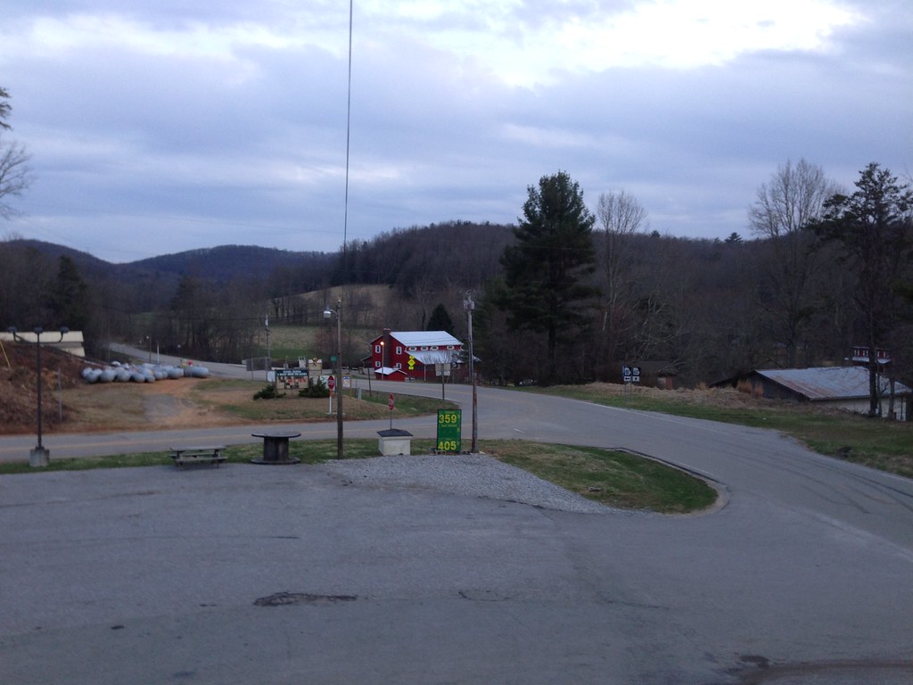
Suches, GA
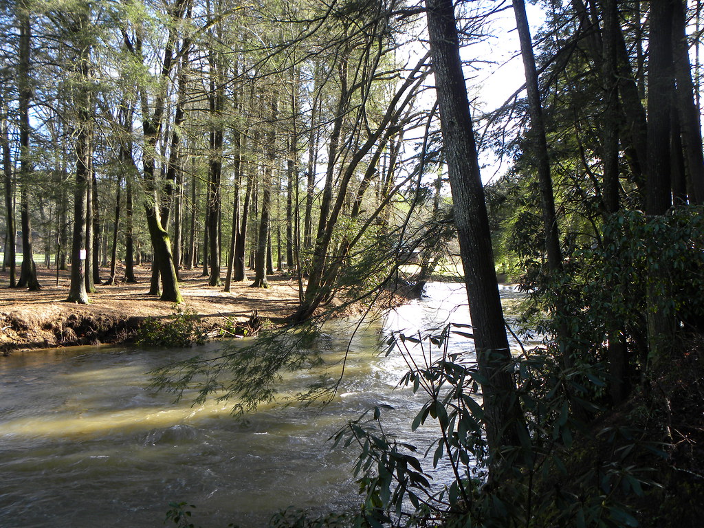
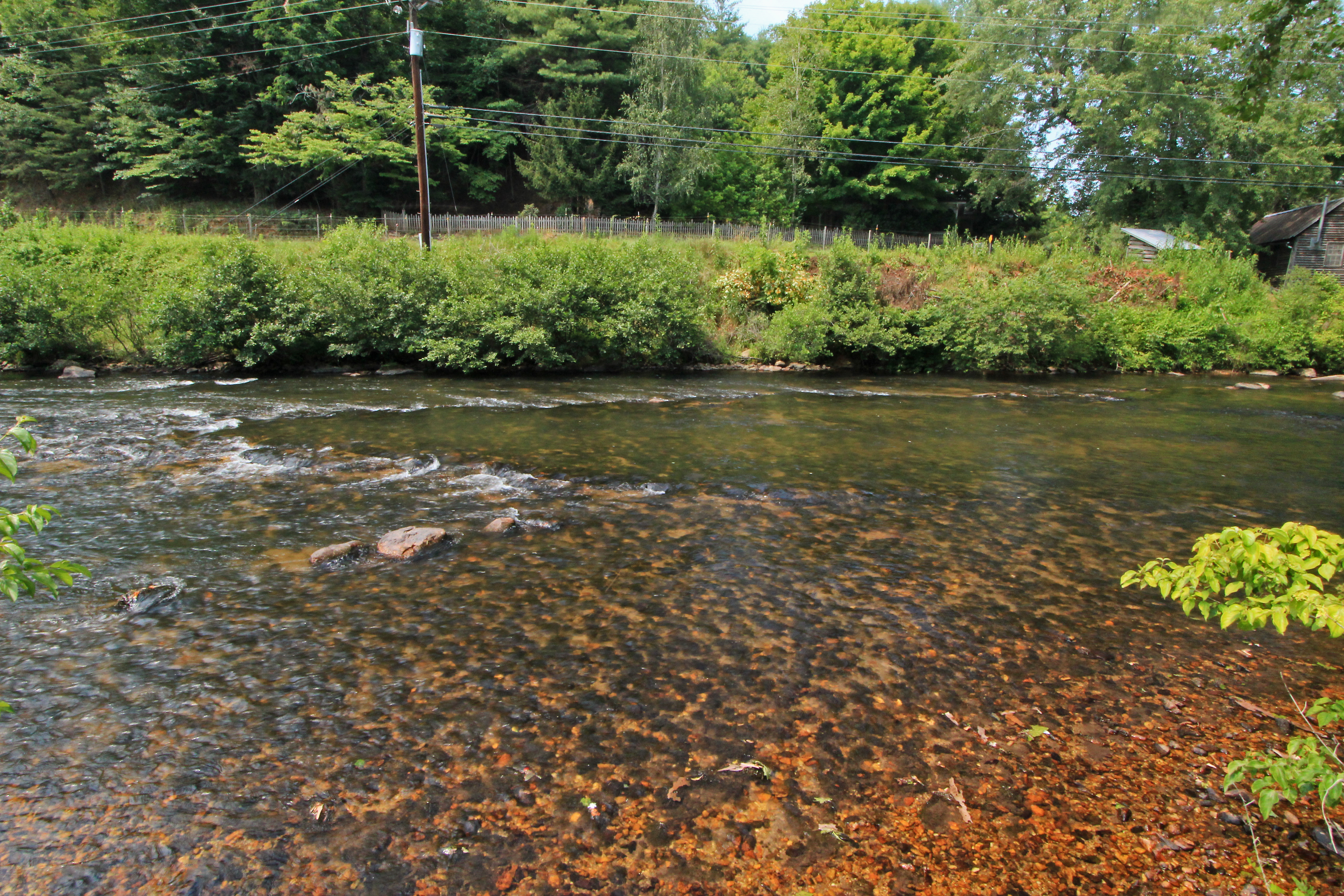
River View
Nice view
View at Liss Gap
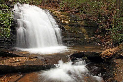
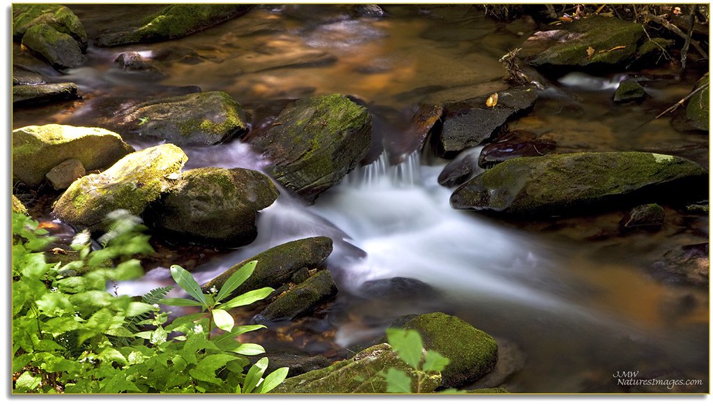
Long Creek Falls

Appalachian Trail, New Year's Day
Springtime's Magic
Deadennen Mtn

Lance Creek Campground

Lake Winfield Scott - instax version
A green land
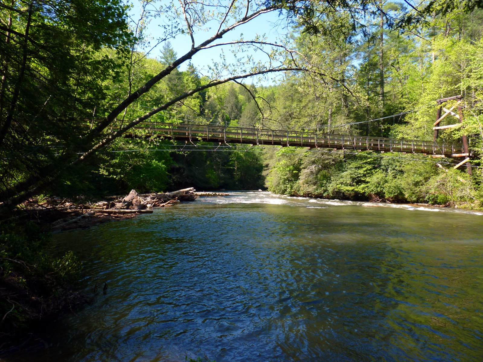
River Toccoa Suspension Bridge

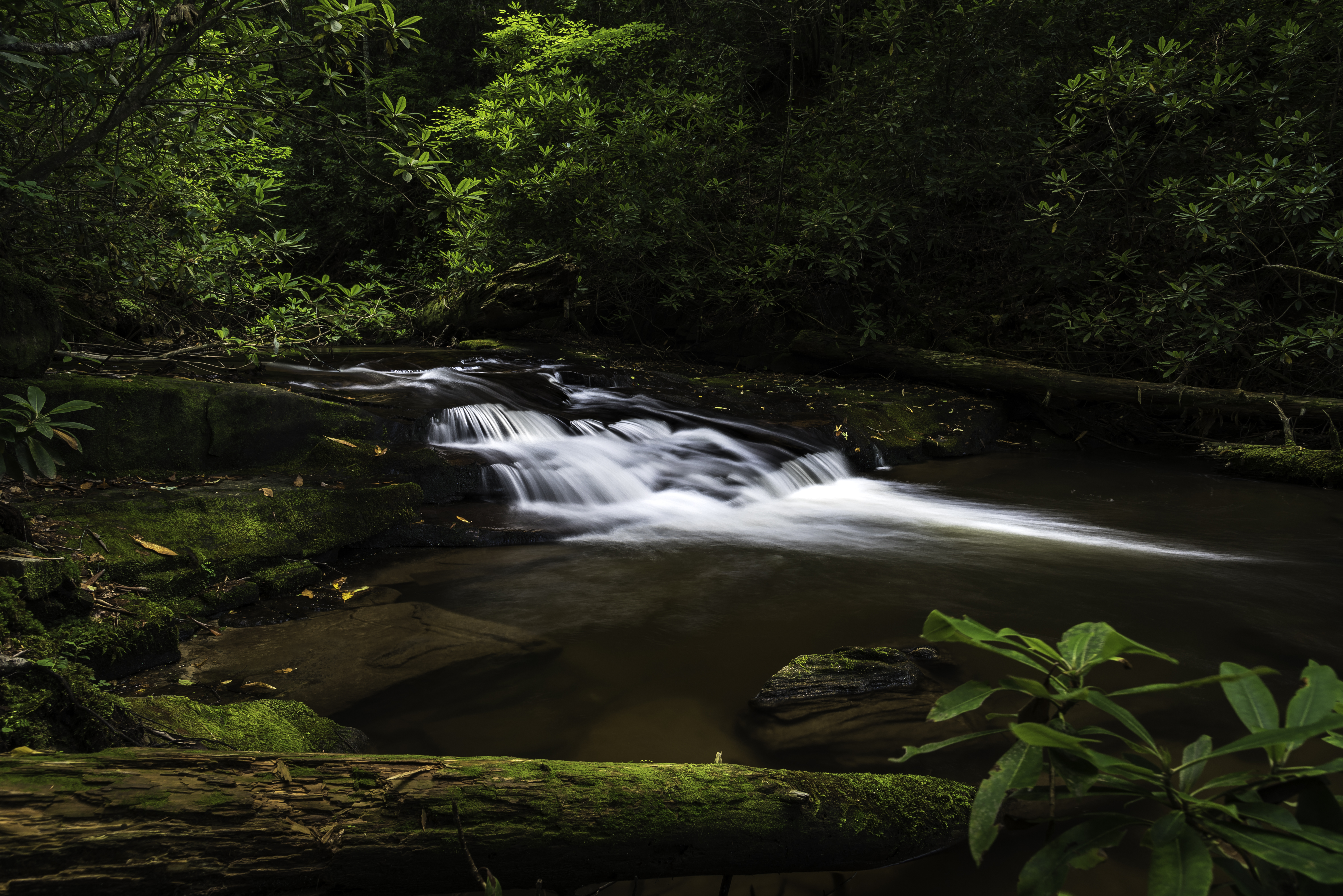
Falls Branch Falls (Gilmer county, GA)

Front Porch, Rental Cabin
prehistoric fish weir No. 2, Toccoa River, Fannin County, Georgia 1

Sea Creek Falls-Toby Gant-2014

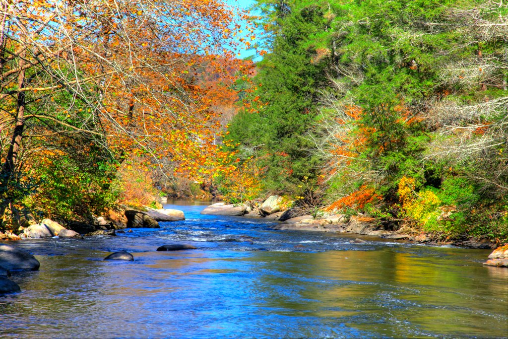
autumn's fade
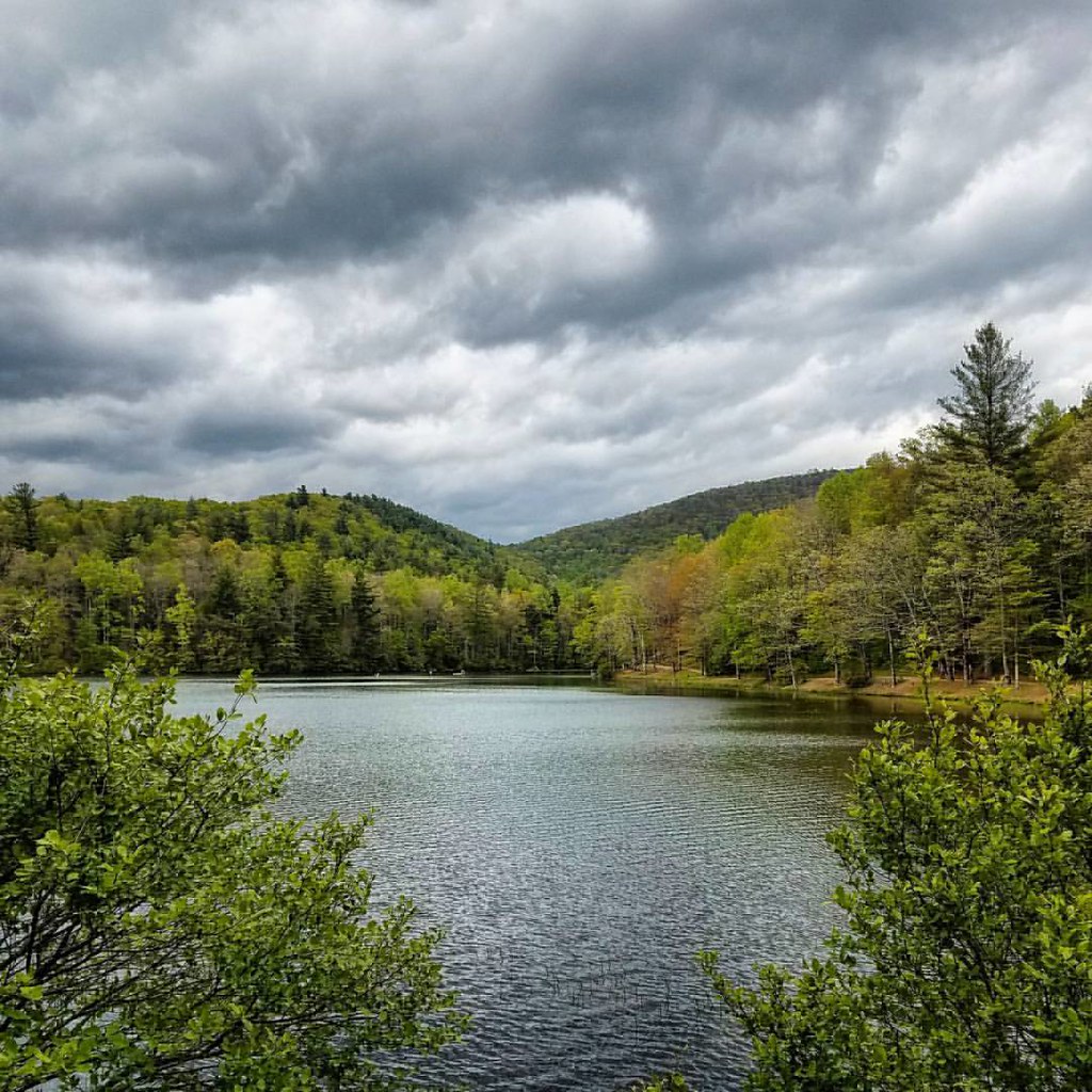
Lake Winfield Scott

Sun thru the morning fog

Woody Lake, GA

The head in off FS 58 to the springer mountain trail

_DSC9910_edited-1.JPG

Long Creek Falls-Toby Gant-2014
Truckie River Georgia 2
Mountains in Fannin County, Georgia
Topographic Map of Chattahoochee National Forest, Suches, GA, USA
Find elevation by address:

Places near Chattahoochee National Forest, Suches, GA, USA:
Morganton Hwy, Suches, GA, USA
184 River Forest Pl
184 River Forest Pl
225 Nellie's Big Fish Road
28 Big Tree Road
104 Big Tree Road
Morganton Hwy, Suches, GA, USA
905 Rock Creek Rd
90 Old Skeenah Gap Rd
35 Old Skeenah Gap Rd
Skeenah Gap Road
245 Hemlock Ln
Cooper Creek Church
20 Skeenah Gap Rd
215 Ash Ridge
1470 Coopers Creek Rd
274 Cooper Creek Dr
138 Valley View Ln
138 Valley View Ln
138 Valley View Ln
Recent Searches:
- Elevation of Corso Fratelli Cairoli, 35, Macerata MC, Italy
- Elevation of Tallevast Rd, Sarasota, FL, USA
- Elevation of 4th St E, Sonoma, CA, USA
- Elevation of Black Hollow Rd, Pennsdale, PA, USA
- Elevation of Oakland Ave, Williamsport, PA, USA
- Elevation of Pedrógão Grande, Portugal
- Elevation of Klee Dr, Martinsburg, WV, USA
- Elevation of Via Roma, Pieranica CR, Italy
- Elevation of Tavkvetili Mountain, Georgia
- Elevation of Hartfords Bluff Cir, Mt Pleasant, SC, USA