Elevation of Rock Creek Rd, Suches, GA, USA
Location: United States > Georgia > Fannin County >
Longitude: -84.152337
Latitude: 34.7428596
Elevation: 620m / 2034feet
Barometric Pressure: 94KPa
Elevation Map:
Satellite Map:
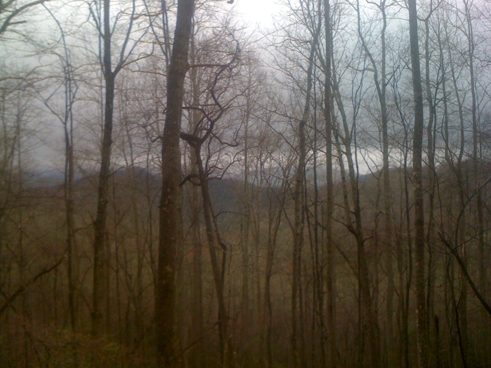
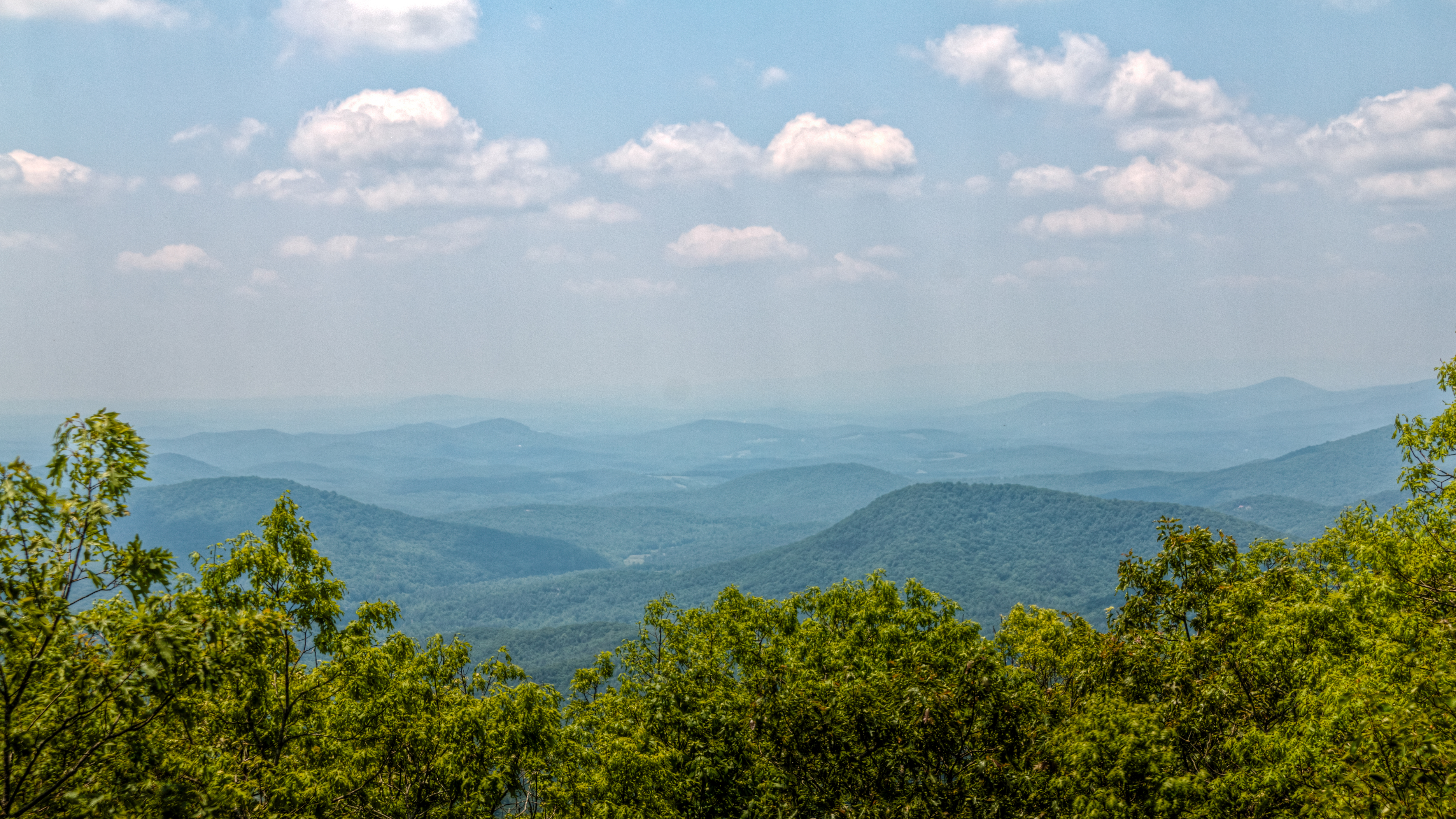
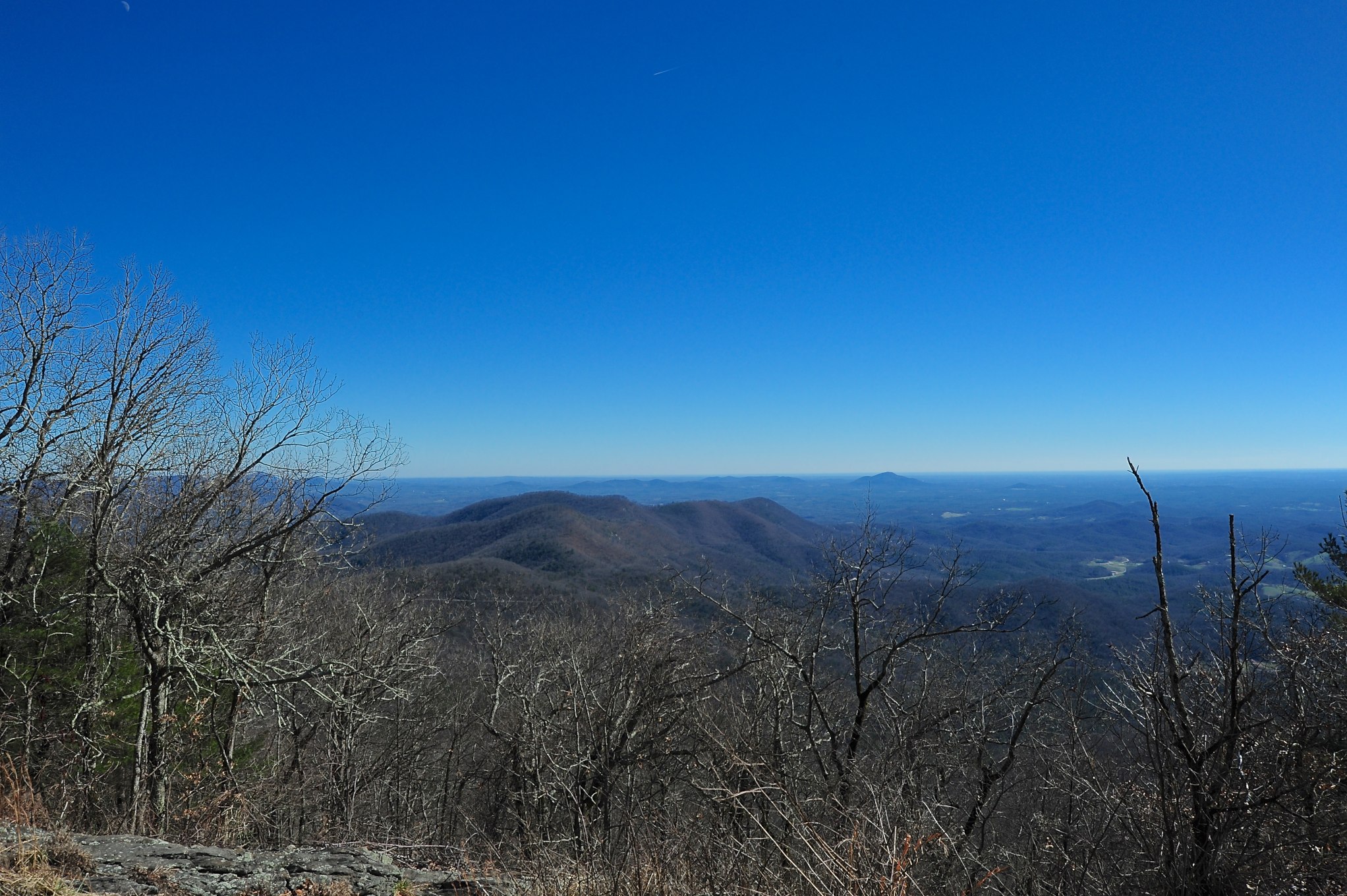
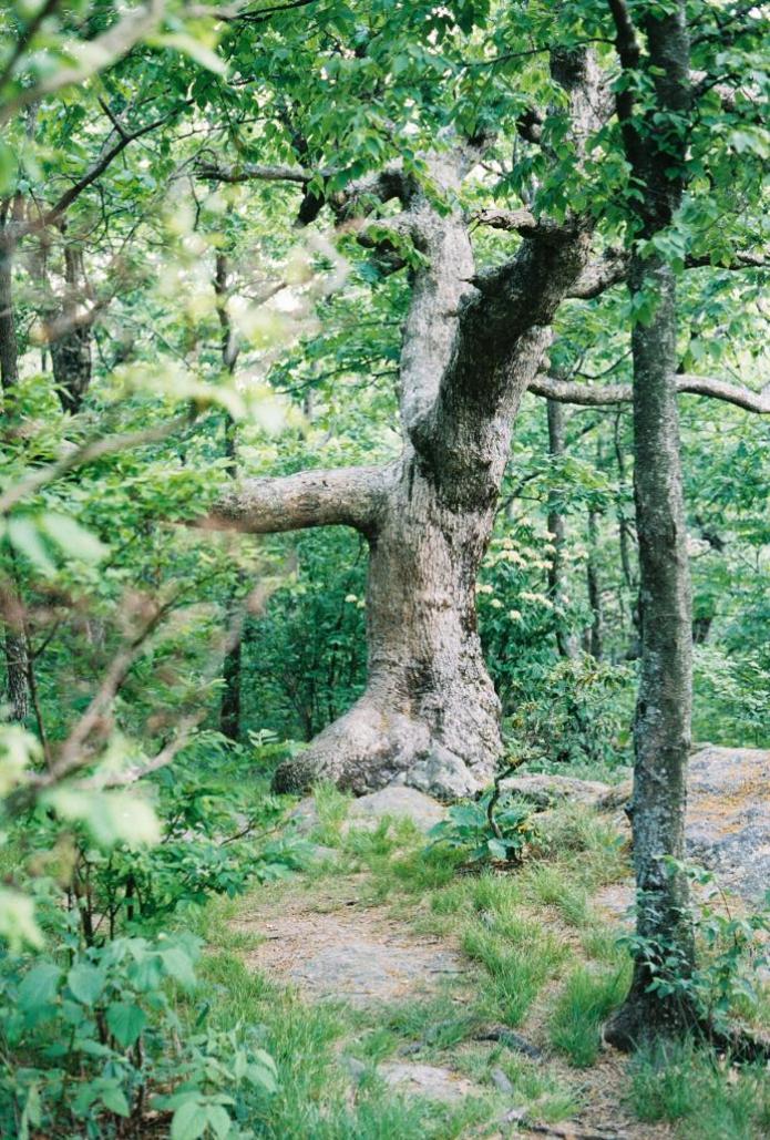
Related Photos:

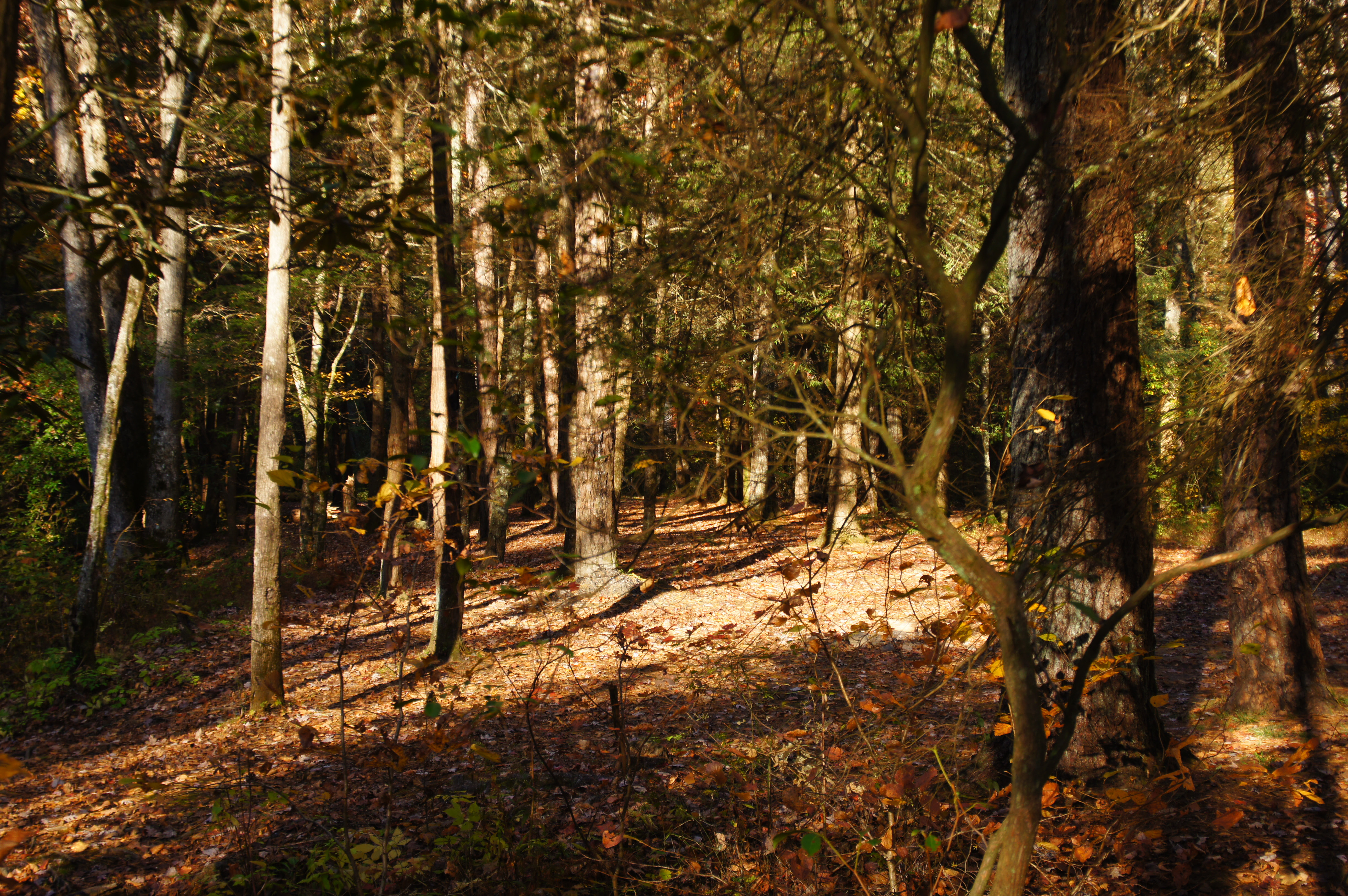
My 63.5 Ford Falcon Sprint with the silos

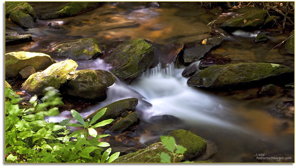
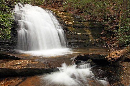
Sea Creek Falls
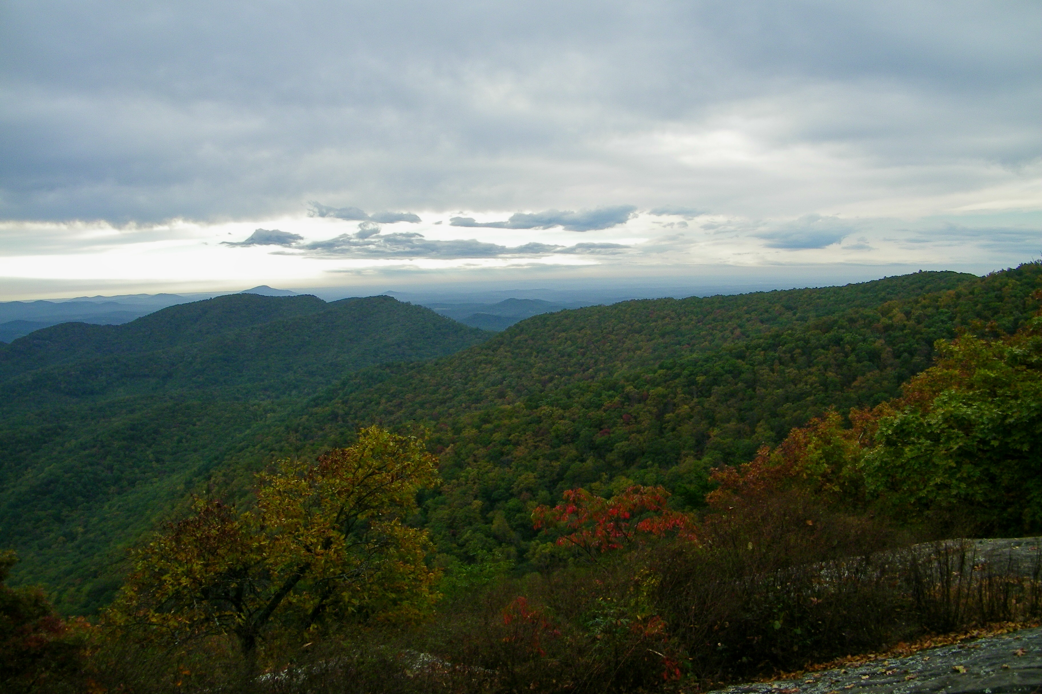
Big Chedar Mountain View
Cooper Creek , GA
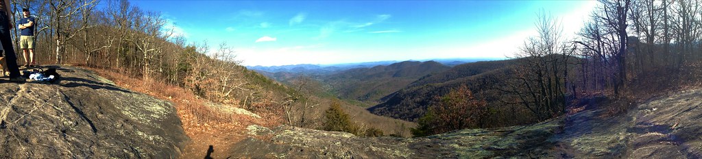
mountain view1 (hdr)

Fire Tower, Black Mountain, Suches

Woody Gap View

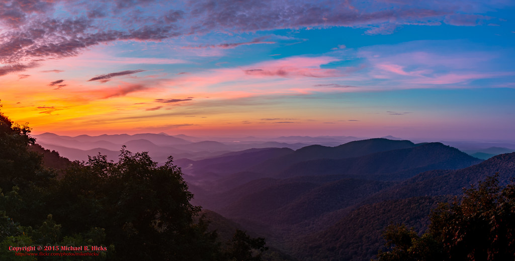
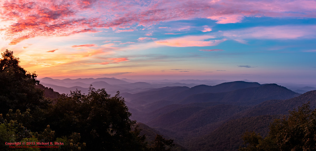
Georgia sunset ...
View from Gazebo-Suches Georgia

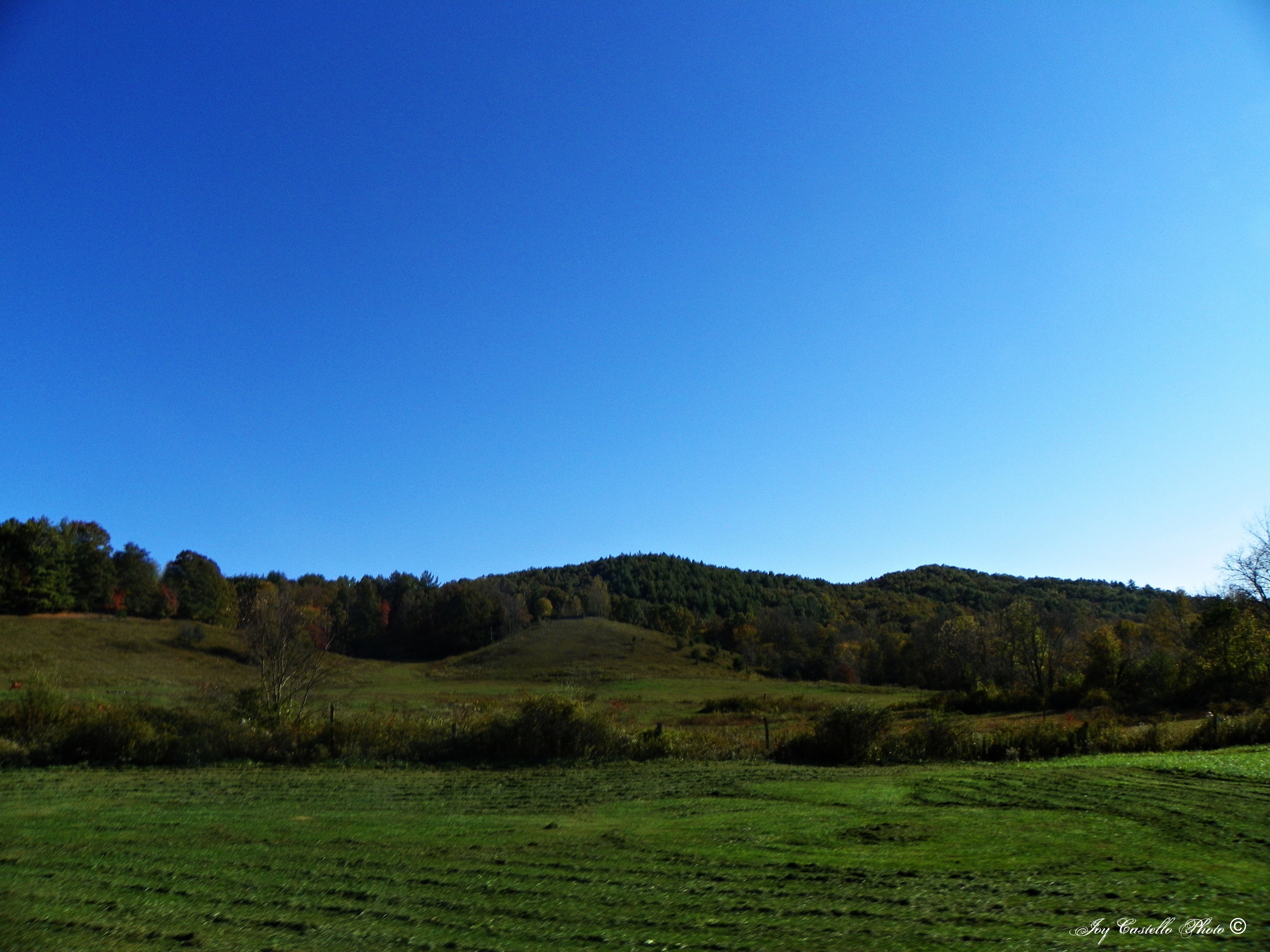
Georgia mountains

View From South Brawley Ridge
Big Cedar Mountain
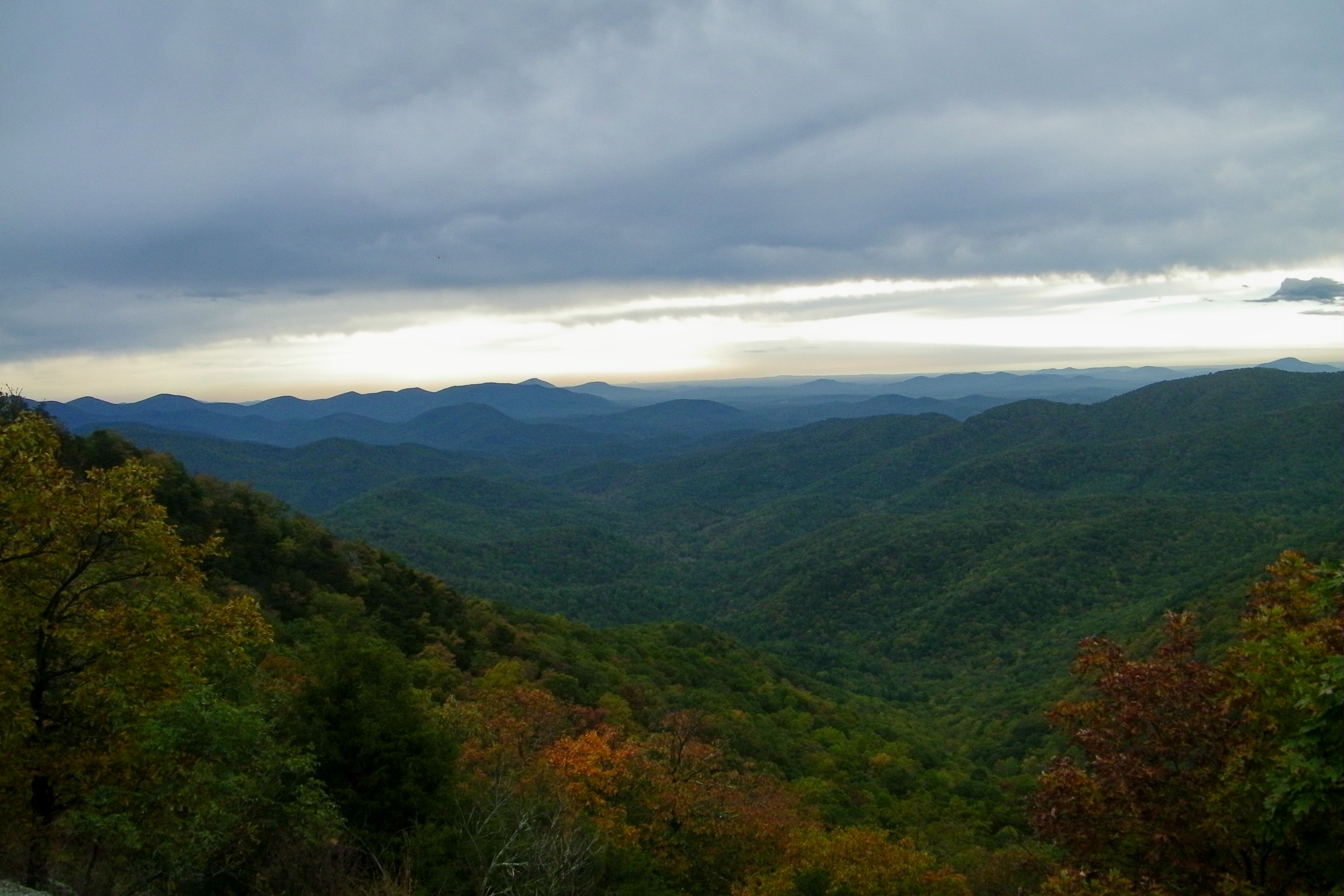
View from Black Mountain
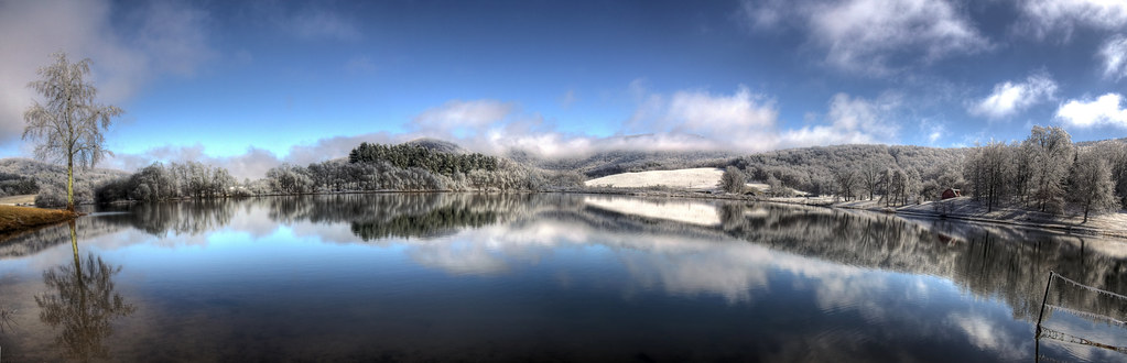
Suches Lake HDR
Big Cedar Mountain
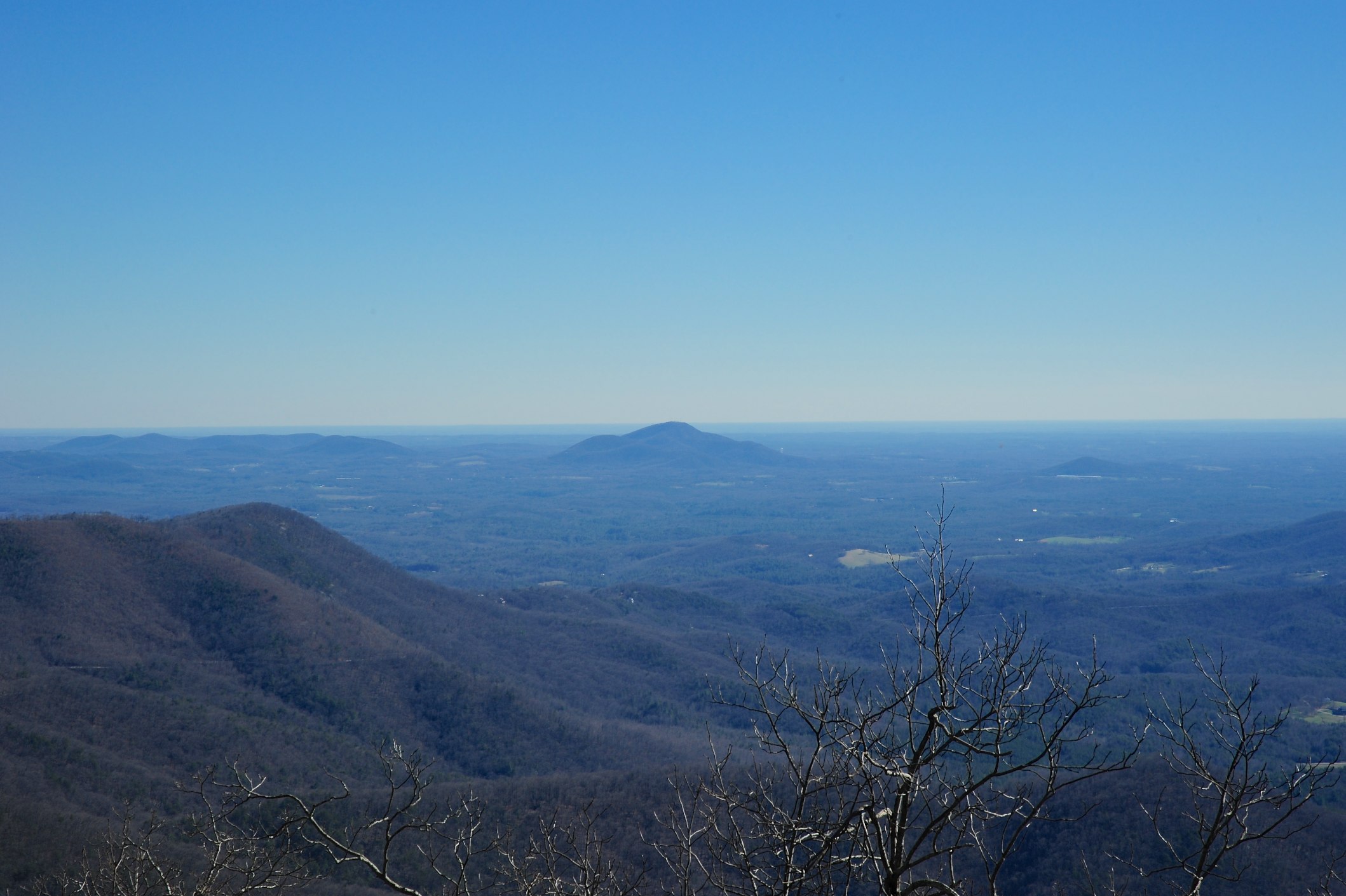
View From NW Side of Weeks Mtn

Fairly Unobstructed View

View Off Of The Benton MacKaye Trail
View from Springer Mountain
View from Black Mountain
First view of Springer Mountain summit

Sea Creek Falls-Toby Gant-2014

Lake Winfield Scott

Woody Lake, GA
Sunrise on the Appalacian Trail - Near Woody Gap, GA

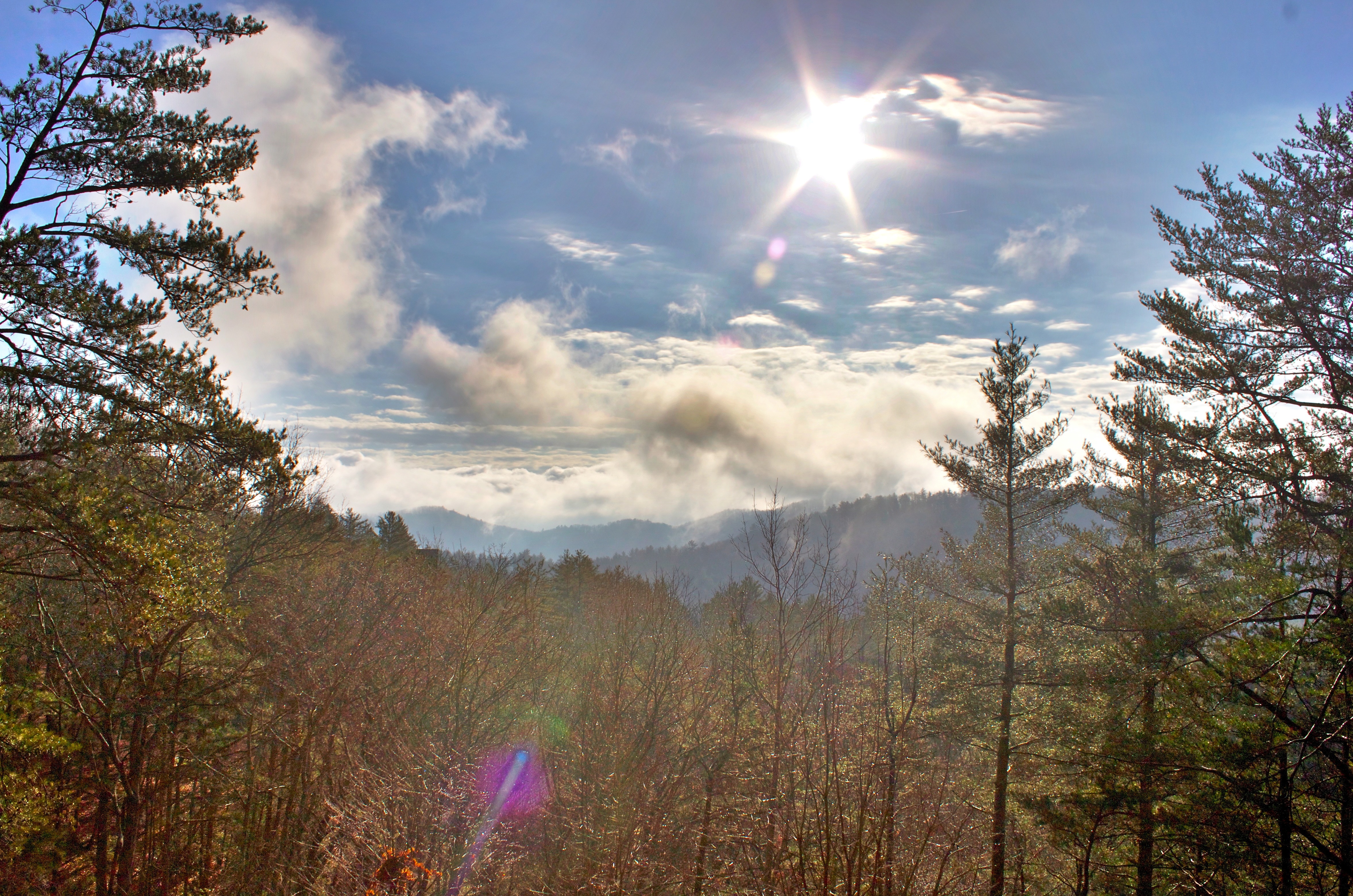
Sun thru the morning fog

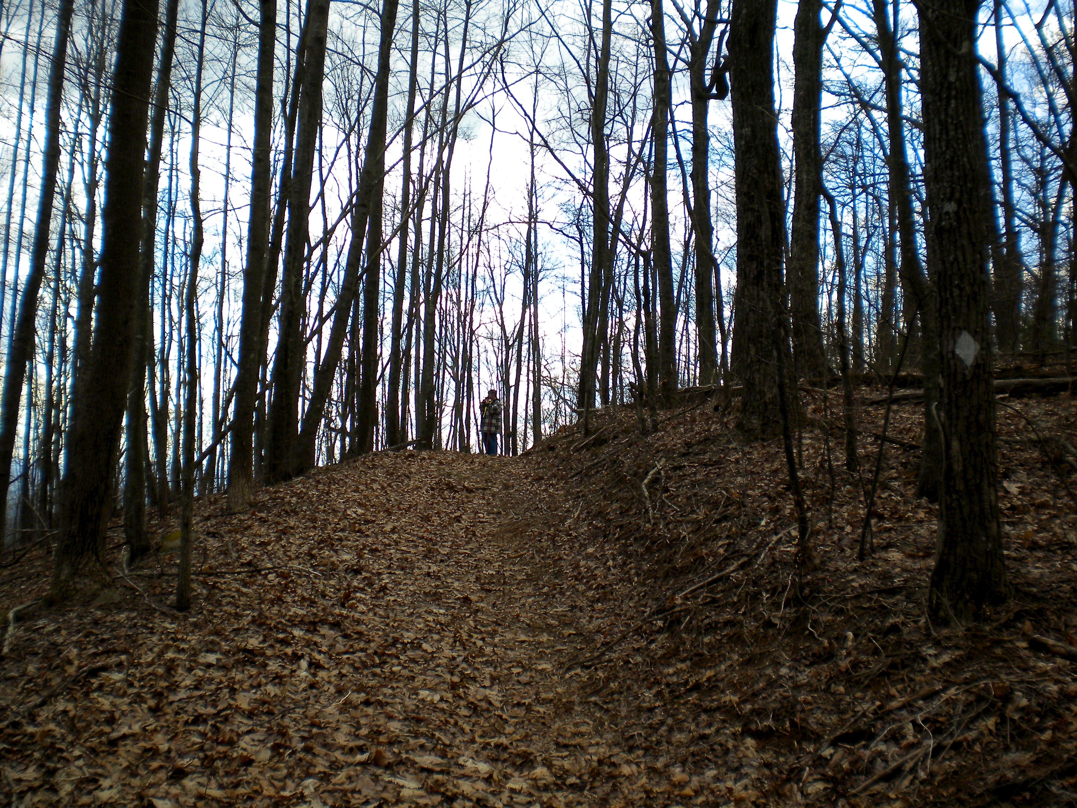
The head in off FS 58 to the springer mountain trail
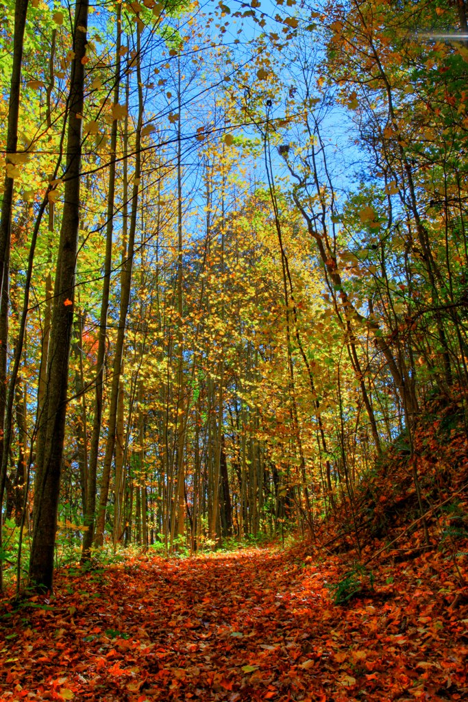
Trees in Blue Ridge 5

Camera Roll-301

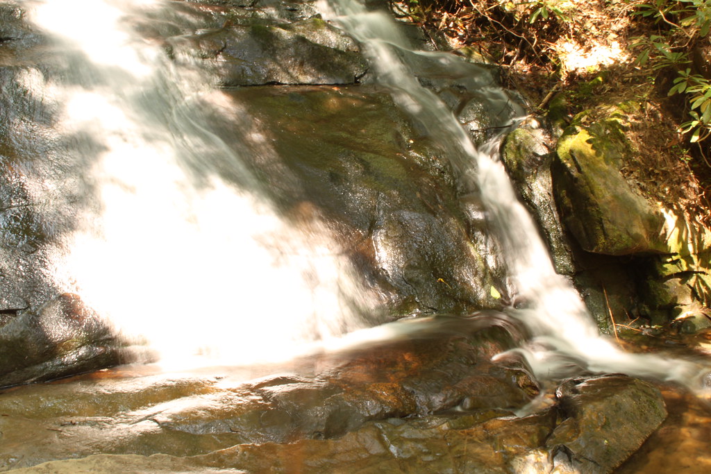
Long Creek Falls
Long Creek Falls
Deadennen Mtn
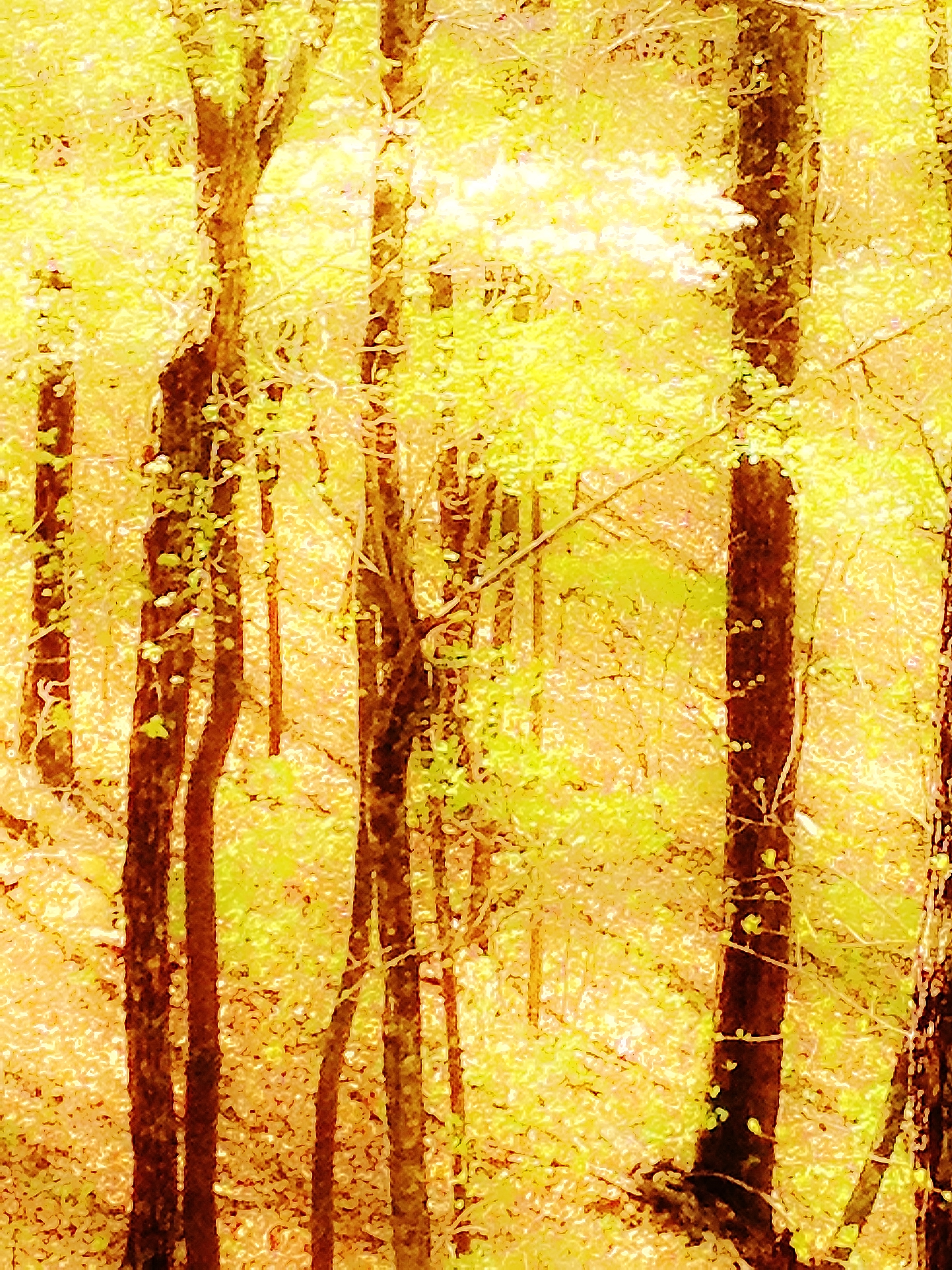
Springtime's Magic
Sunrise on the Appalacian Trail - Near Woody Gap, GA

Lake Winfield Scott - instax version

IMG_9726.JPG

Long Creek Falls-Toby Gant-2014
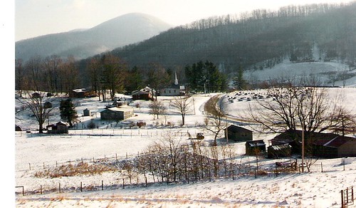
Fannin County, Georgia
IMG_9738.JPG

IMG_9729.JPG
DSC03979.JPG
Topographic Map of Rock Creek Rd, Suches, GA, USA
Find elevation by address:

Places near Rock Creek Rd, Suches, GA, USA:
104 Big Tree Road
225 Nellie's Big Fish Road
28 Big Tree Road
184 River Forest Pl
184 River Forest Pl
Morganton Hwy, Suches, GA, USA
Morganton Hwy, Suches, GA, USA
Cooper Creek Church
245 Hemlock Ln
28200 Morganton Hwy
802 Coopers Creek Rd
802 Coopers Creek Rd
1470 Coopers Creek Rd
2563 Coopers Creek Rd
28911 Morganton Hwy
167 Warren Miller Rd
274 Cooper Creek Dr
138 Valley View Ln
138 Valley View Ln
138 Valley View Ln
Recent Searches:
- Elevation of Tenjo, Cundinamarca, Colombia
- Elevation of Côte-des-Neiges, Montreal, QC H4A 3J6, Canada
- Elevation of Bobcat Dr, Helena, MT, USA
- Elevation of Zu den Ihlowbergen, Althüttendorf, Germany
- Elevation of Badaber, Peshawar, Khyber Pakhtunkhwa, Pakistan
- Elevation of SE Heron Loop, Lincoln City, OR, USA
- Elevation of Slanický ostrov, 01 Námestovo, Slovakia
- Elevation of Spaceport America, Co Rd A, Truth or Consequences, NM, USA
- Elevation of Warwick, RI, USA
- Elevation of Fern Rd, Whitmore, CA, USA