Elevation of Charleston, MO, USA
Location: United States > Missouri > Mississippi County > Tywappity Township >
Longitude: -89.350631
Latitude: 36.9208854
Elevation: 99m / 325feet
Barometric Pressure: 100KPa
Elevation Map:
Satellite Map:
Related Photos:

Cypress at sunset
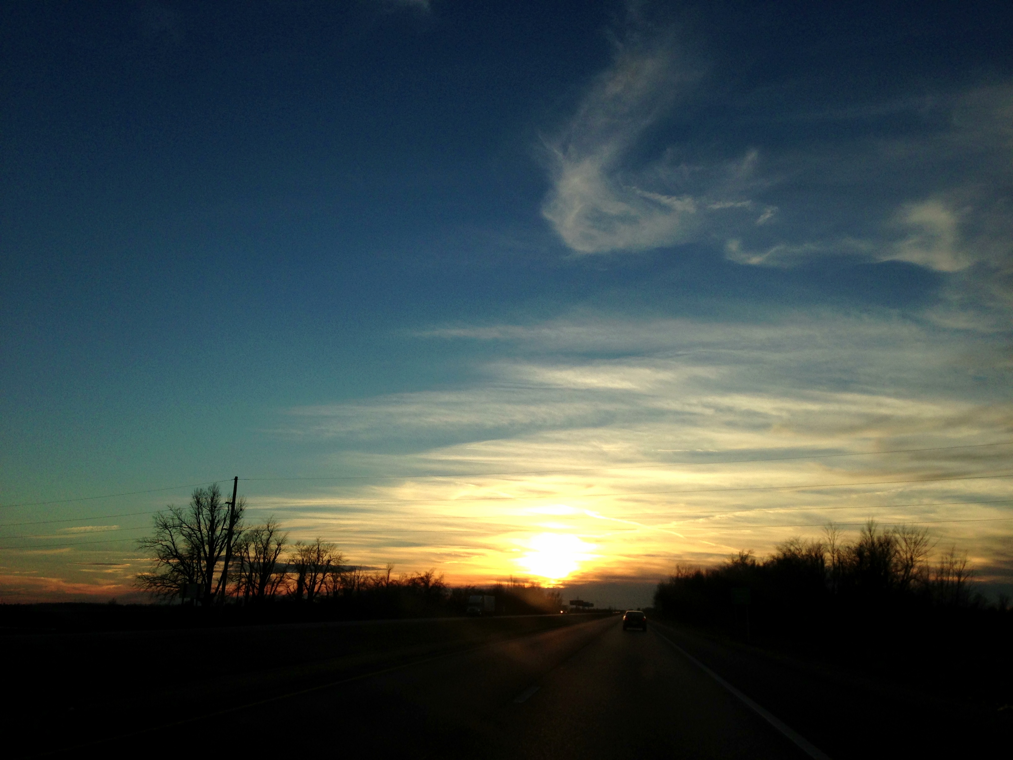
Sunset, Southern Missouri 1
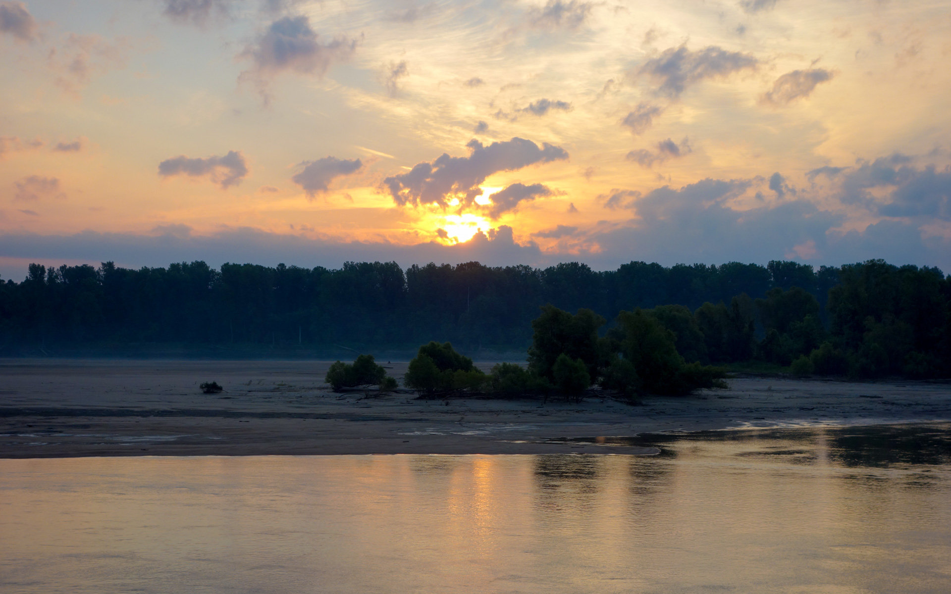
Sunrise over Bumgard Island

Sunset at Delaney Lake
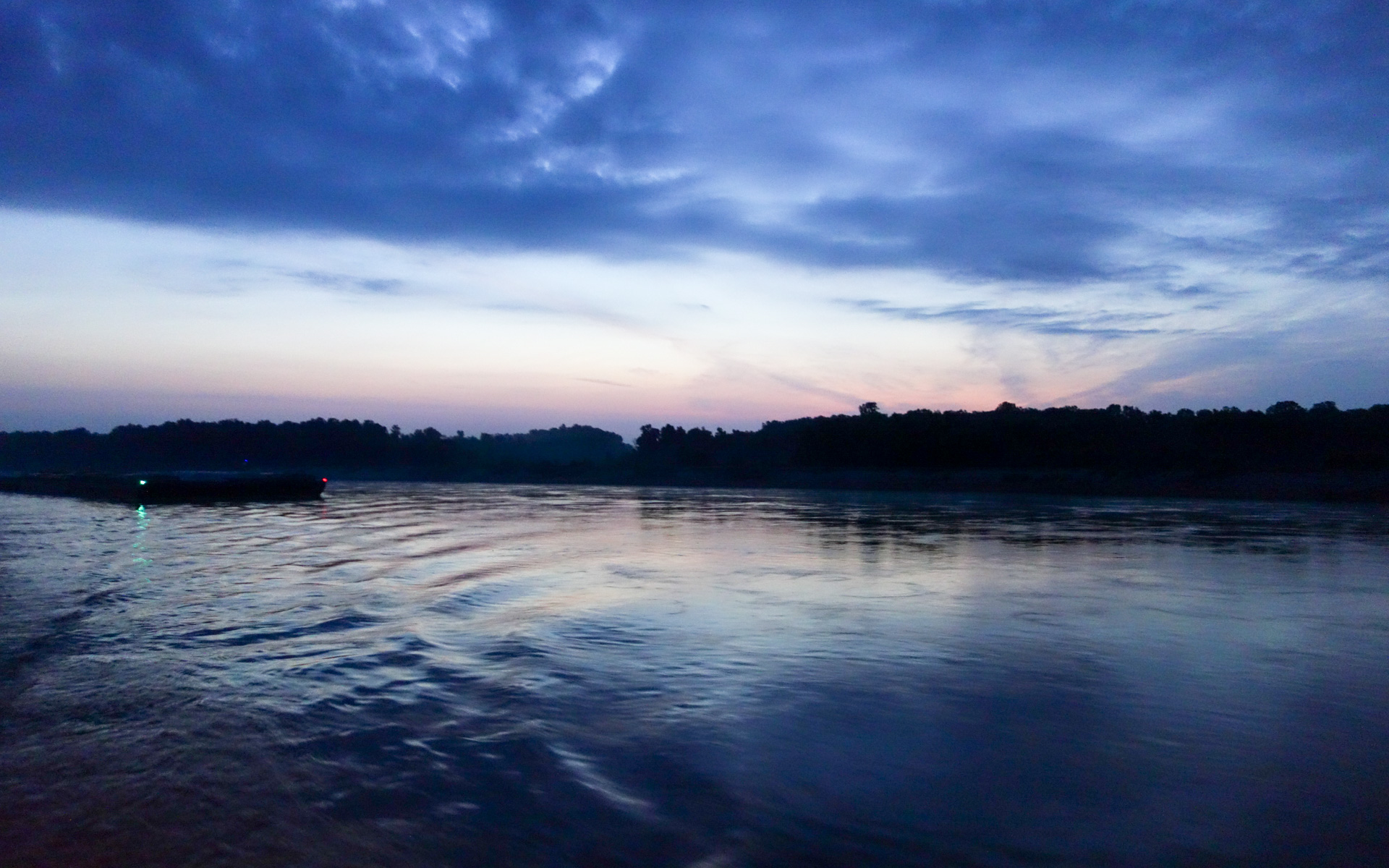
A Barge Passes
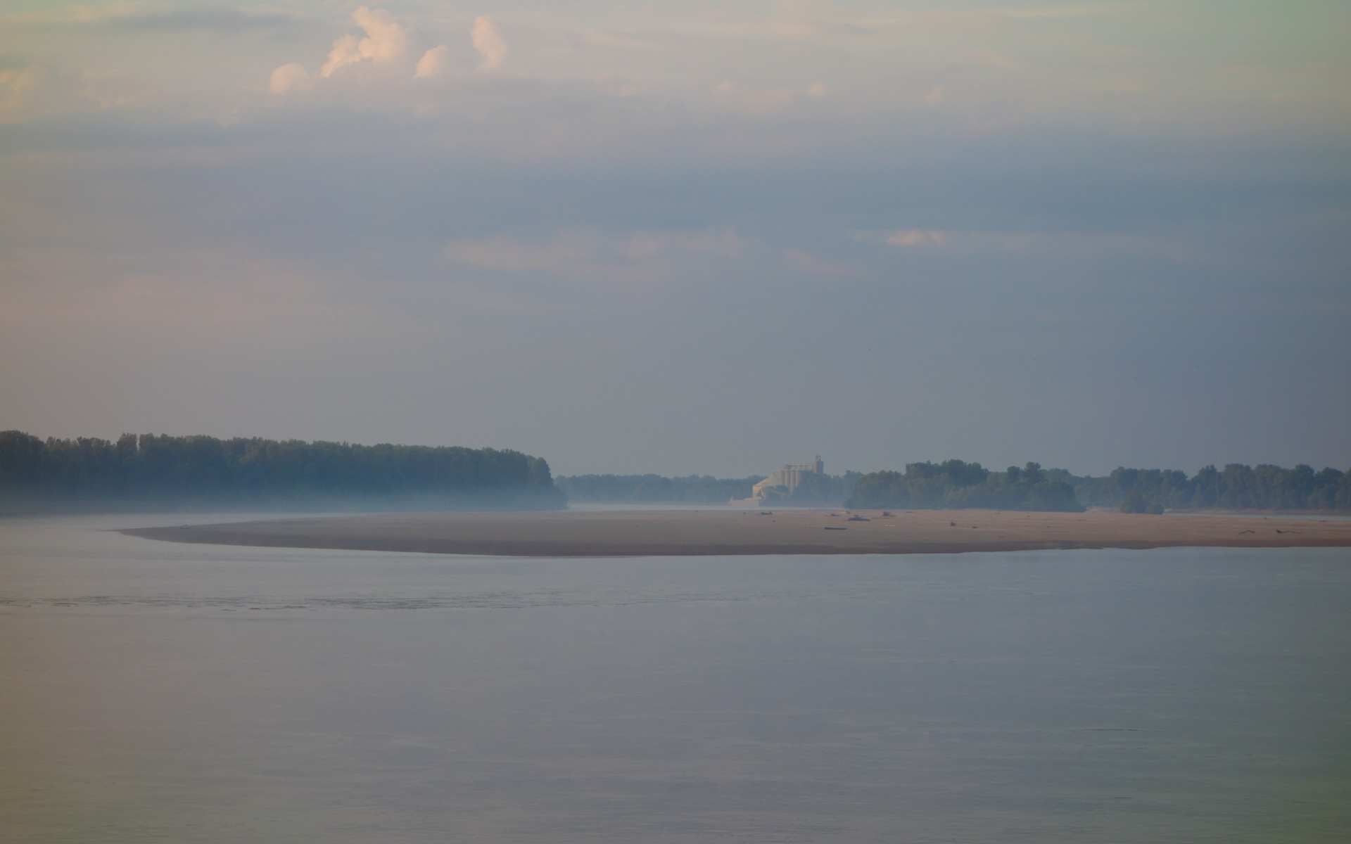
Cargil Elevator Downstream Beyond Bumgard Island

UM 029.2 Anchorage

Missouri 2012

Cattle Sketch

Hoarfrost Tree

Missouri 2012

roadtrip: boomland MO

'Out in Left Field'..... One difference between a student and a teacher is the student is willing to learn, whereas too many teachers are not willing to be taught anymore.

'Playing With Tractors 2'... Shiloh snooped and found my boyhood John Deere and Allis-Chalmers toy tractors (over 50 years old and made out of heavy metal). He took an immediate liking to them and instantly knew how to attach the accessories as if he had

'River of Life'... Serene peace along a waterway used to quench the thirst of the field beasts... and any other animal or fowl who happens to pass by. What would this world be without such calm rivers of life?
Topographic Map of Charleston, MO, USA
Find elevation by address:

Places near Charleston, MO, USA:
S Main St, Charleston, MO, USA
Tywappity Township
Super 8 Charleston Mo
Mississippi County
N Bridges St, Charleston, MO, USA
Diehlstadt
Tywappity Township
MO-, East Prairie, MO, USA
St. James Township
Cache Precinct
East Prairie
Sandywoods Township
IL-3, Cairo, IL, USA
Cairo
State Hwy H, Miner, MO, USA
Cairo
Washington Ave, Cairo, IL, USA
New Cross St, Cairo, IL, USA
102 Jennings Ln
Future City
Recent Searches:
- Elevation of Zu den Ihlowbergen, Althüttendorf, Germany
- Elevation of Badaber, Peshawar, Khyber Pakhtunkhwa, Pakistan
- Elevation of SE Heron Loop, Lincoln City, OR, USA
- Elevation of Slanický ostrov, 01 Námestovo, Slovakia
- Elevation of Spaceport America, Co Rd A, Truth or Consequences, NM, USA
- Elevation of Warwick, RI, USA
- Elevation of Fern Rd, Whitmore, CA, USA
- Elevation of 62 Abbey St, Marshfield, MA, USA
- Elevation of Fernwood, Bradenton, FL, USA
- Elevation of Felindre, Swansea SA5 7LU, UK