Elevation of Champawat, Uttarakhand, India
Location: India > Uttarakhand >
Longitude: 80.0087746
Latitude: 29.3209432
Elevation: 1611m / 5285feet
Barometric Pressure: 83KPa
Elevation Map:
Satellite Map:
Related Photos:
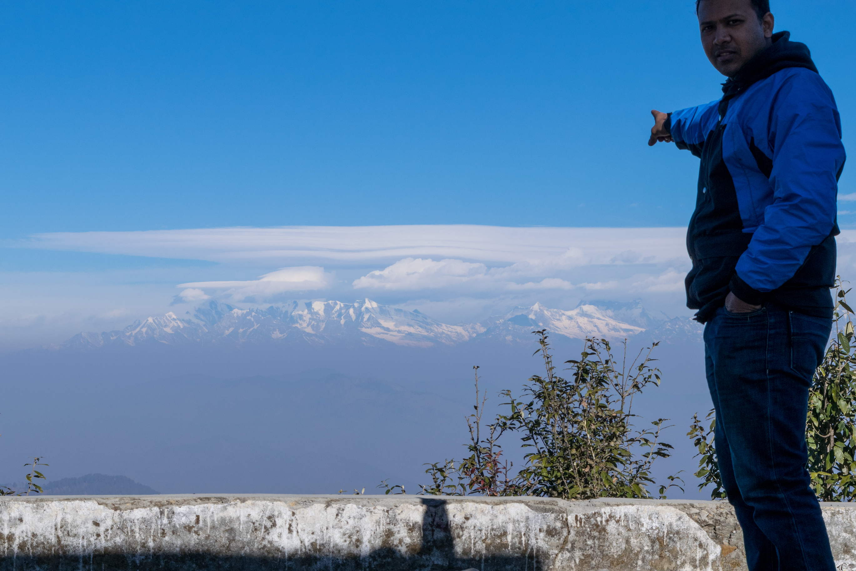
View from Abott Mount
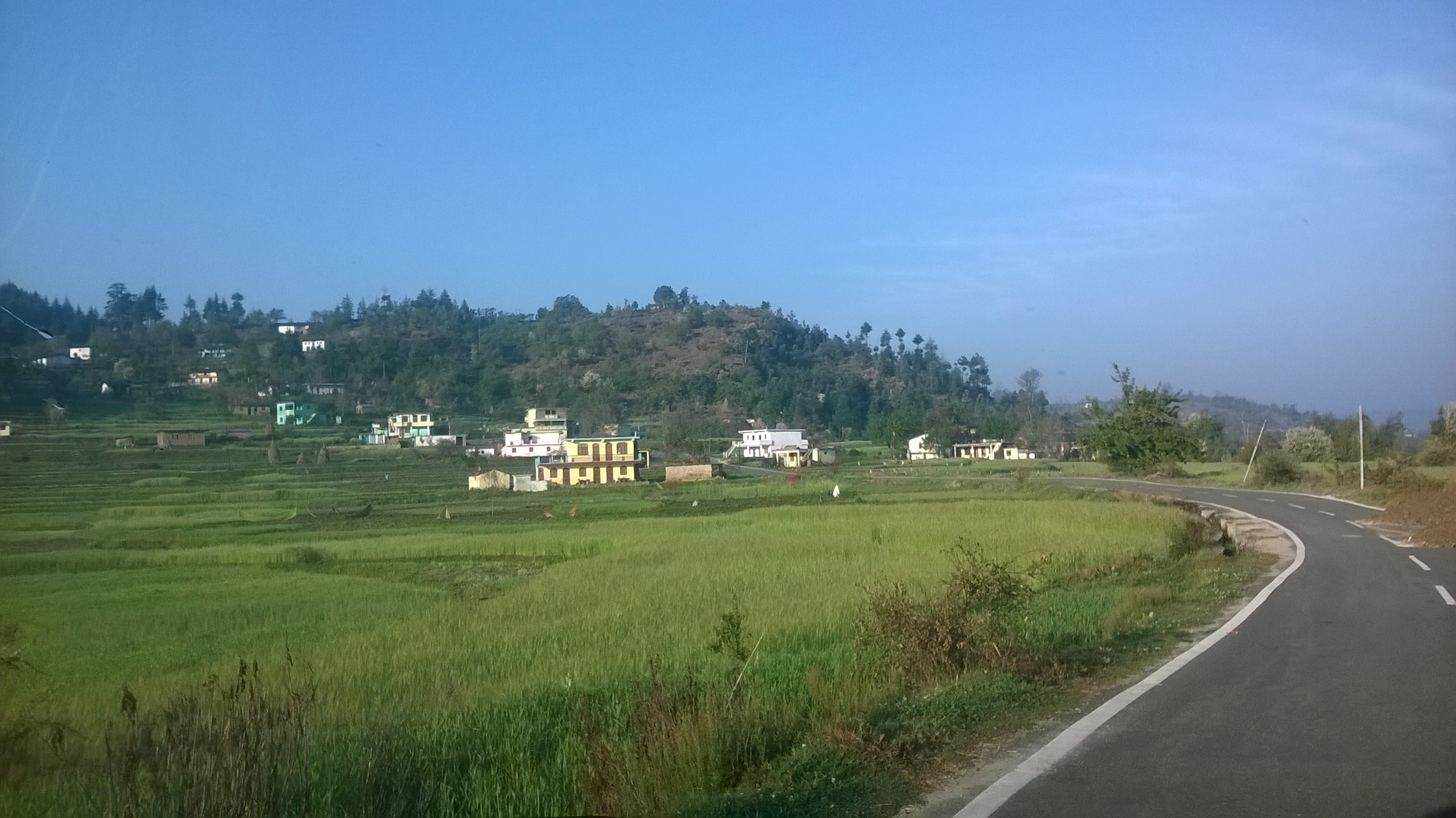
WP_20150324_007
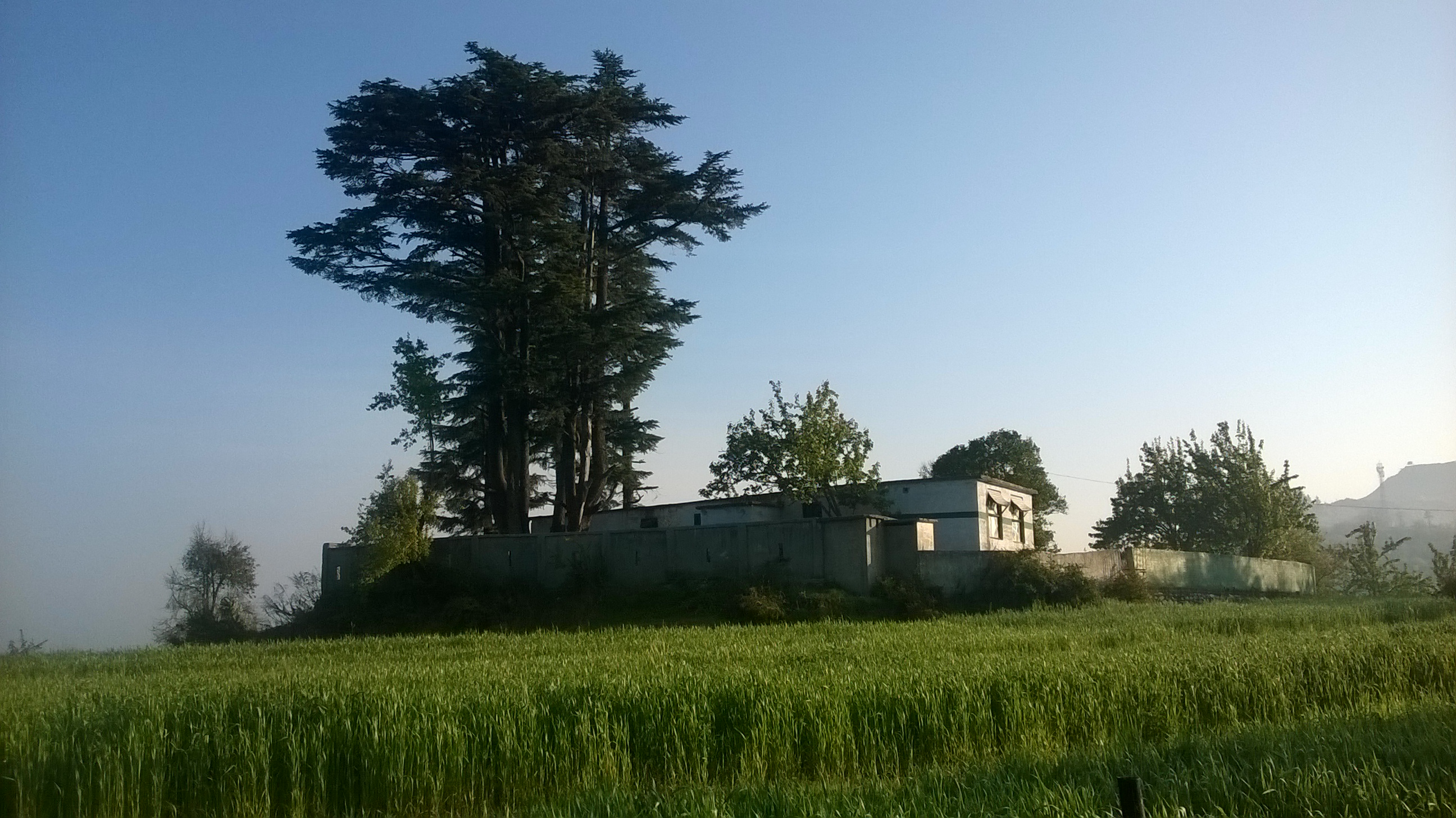
WP_20150324_006
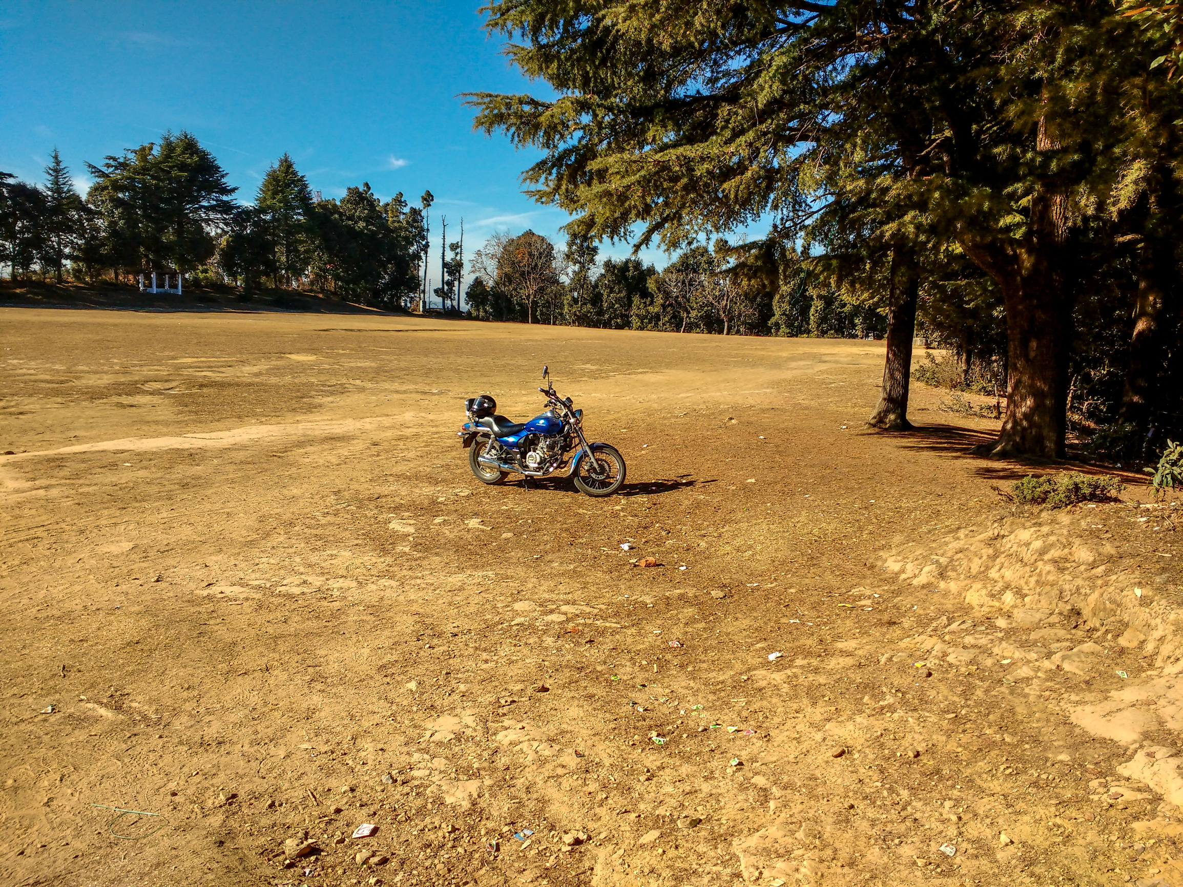
The playground at Abott Mount

The playground at Abott Mount
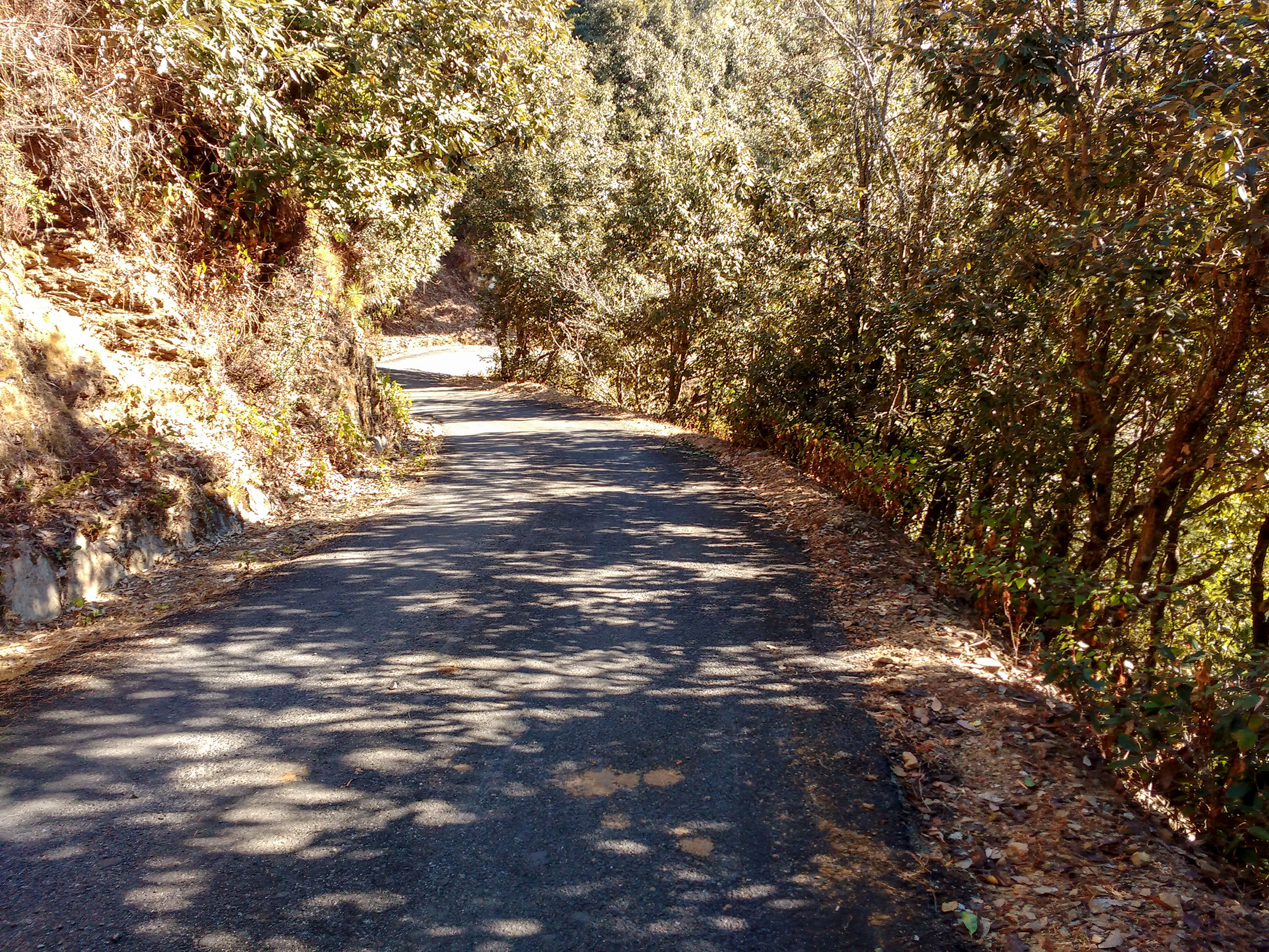
Road to Abott Mount Lohaghat
Topographic Map of Champawat, Uttarakhand, India
Find elevation by address:

Places in Champawat, Uttarakhand, India:
Places near Champawat, Uttarakhand, India:
Mayawati
Champawat
Lohaghat
Aambag
Chheni Talli
North Gola Range
Shaharfatak
Tallee Deeni
T.d.m. Jr. High School Paharpani Nainital
Nata Dol
North Gola Range
Sunder Khal
Latibunga
Sundarkhal
Sundarkhal
Uttarakhand, India
Kalapatal
Dhanachuli
Digantaa Resorts
Mukteshwar
Recent Searches:
- Elevation of 24 Oakland Rd #, Scotland, ON N0E 1R0, Canada
- Elevation of Deep Gap Farm Rd E, Mill Spring, NC, USA
- Elevation of Dog Leg Dr, Minden, NV, USA
- Elevation of Dog Leg Dr, Minden, NV, USA
- Elevation of Kambingan Sa Pansol Atbp., Purok 7 Pansol, Candaba, Pampanga, Philippines
- Elevation of Pinewood Dr, New Bern, NC, USA
- Elevation of Mountain View, CA, USA
- Elevation of Foligno, Province of Perugia, Italy
- Elevation of Blauwestad, Netherlands
- Elevation of Bella Terra Blvd, Estero, FL, USA