Elevation map of Chamba, Himachal Pradesh, India
Location: India > Himachal Pradesh >
Longitude: 76.1783739
Latitude: 32.7573487
Elevation: 1983m / 6506feet
Barometric Pressure: 80KPa
Elevation Map:
Satellite Map:
Related Photos:
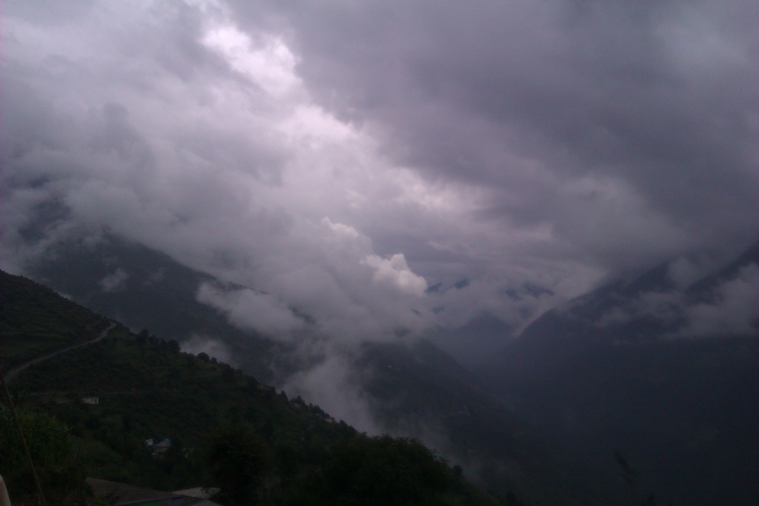
clouds on mountains means WoW!!!
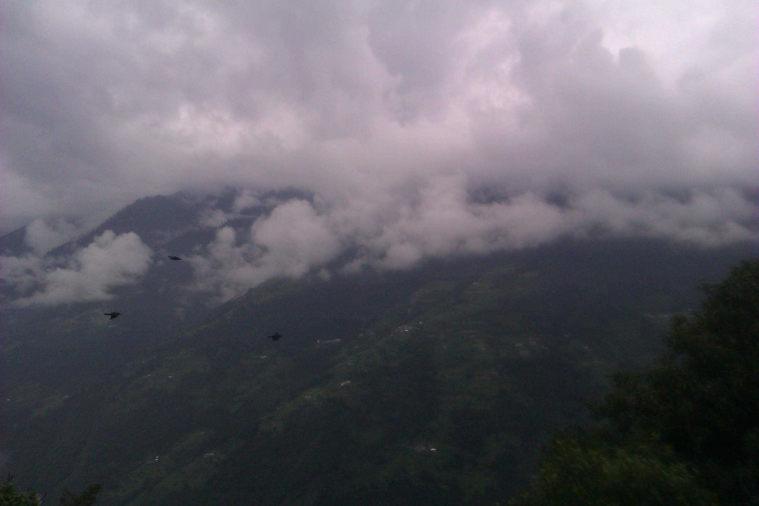
clouds on mountains means WoW!!!
Topographic Map of Chamba, Himachal Pradesh, India
Find elevation by address:

Places in Chamba, Himachal Pradesh, India:
Places near Chamba, Himachal Pradesh, India:
Masrund
Chamba
Khajjiar
Sach Pass 4390m
Dalhousie
Kalatop
Dhauladhar
Gahar Dunei
Dalhousie
Banni
Udaipur
Doodh Kaasi Lake
Jispa
Darcha
Burwa
Atal Tunnel
Patalsu Peak
Marhi
Rohtang La
Rohtang Pass
Recent Searches:
- Elevation of Corso Fratelli Cairoli, 35, Macerata MC, Italy
- Elevation of Tallevast Rd, Sarasota, FL, USA
- Elevation of 4th St E, Sonoma, CA, USA
- Elevation of Black Hollow Rd, Pennsdale, PA, USA
- Elevation of Oakland Ave, Williamsport, PA, USA
- Elevation of Pedrógão Grande, Portugal
- Elevation of Klee Dr, Martinsburg, WV, USA
- Elevation of Via Roma, Pieranica CR, Italy
- Elevation of Tavkvetili Mountain, Georgia
- Elevation of Hartfords Bluff Cir, Mt Pleasant, SC, USA