Elevation of Banni, Himachal Pradesh, India
Location: India > Himachal Pradesh > Chamba >
Longitude: 76.4628157
Latitude: 32.5414426
Elevation: 2291m / 7516feet
Barometric Pressure: 77KPa
Elevation Map:
Satellite Map:
Related Photos:
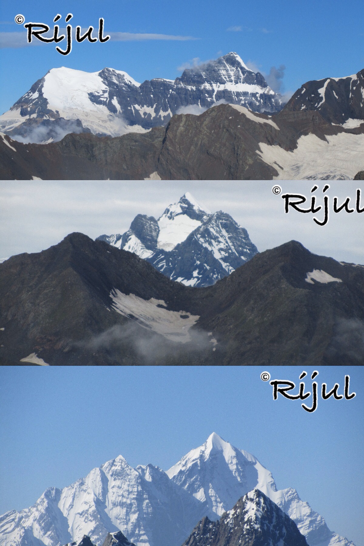
MANIMAHESH KAILASH
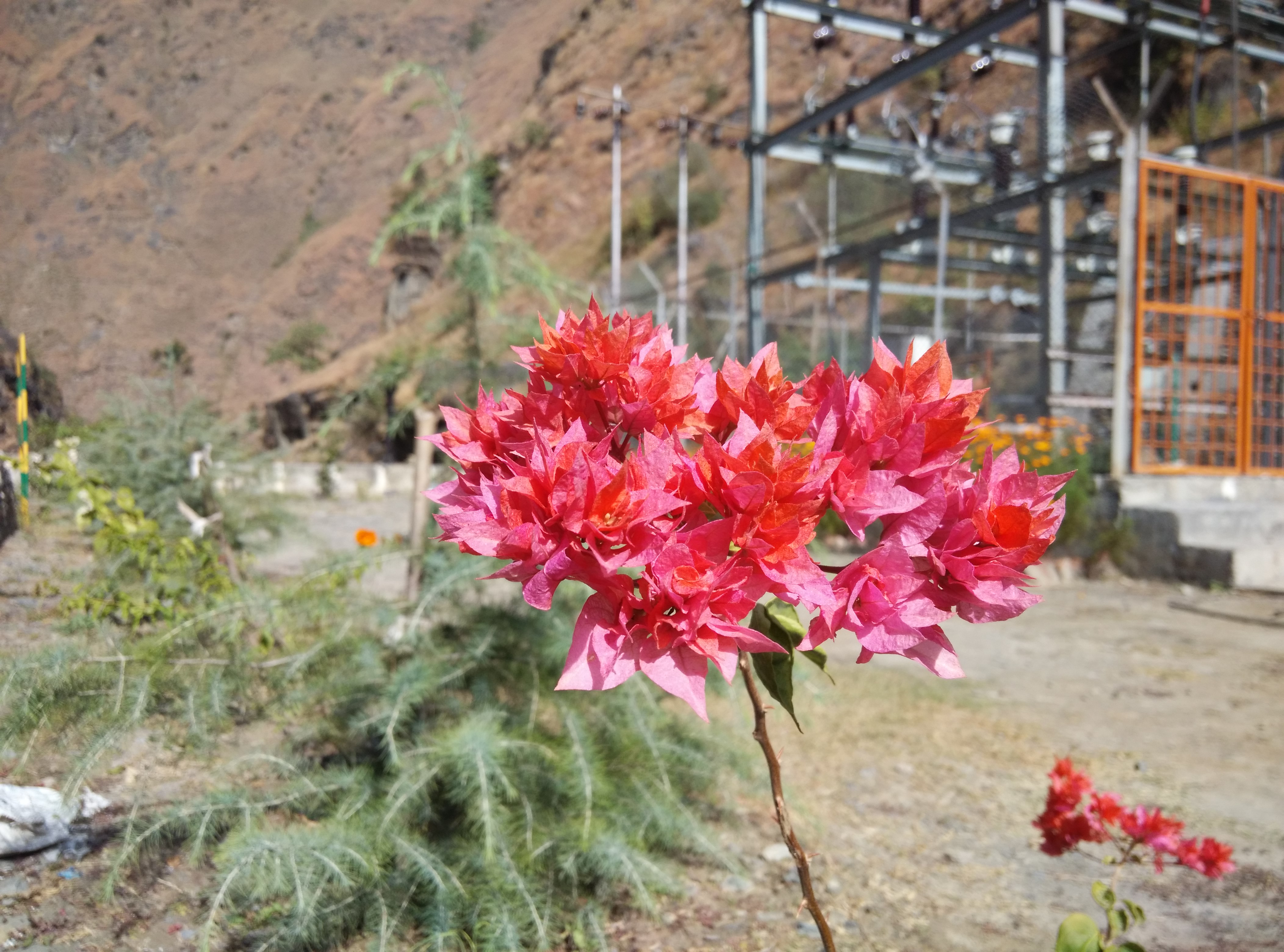
Pretty Bloom
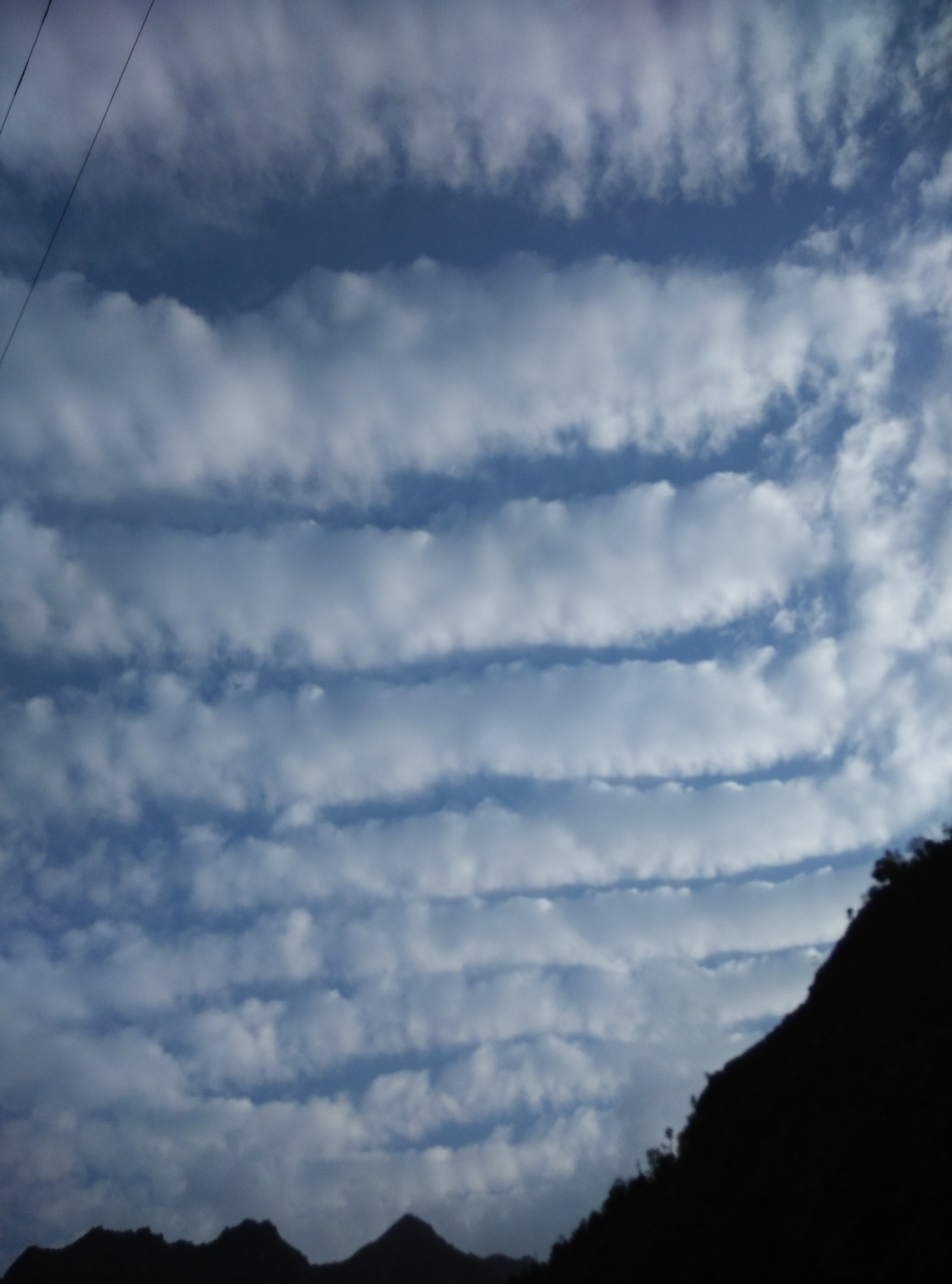
Terraced Clouds.
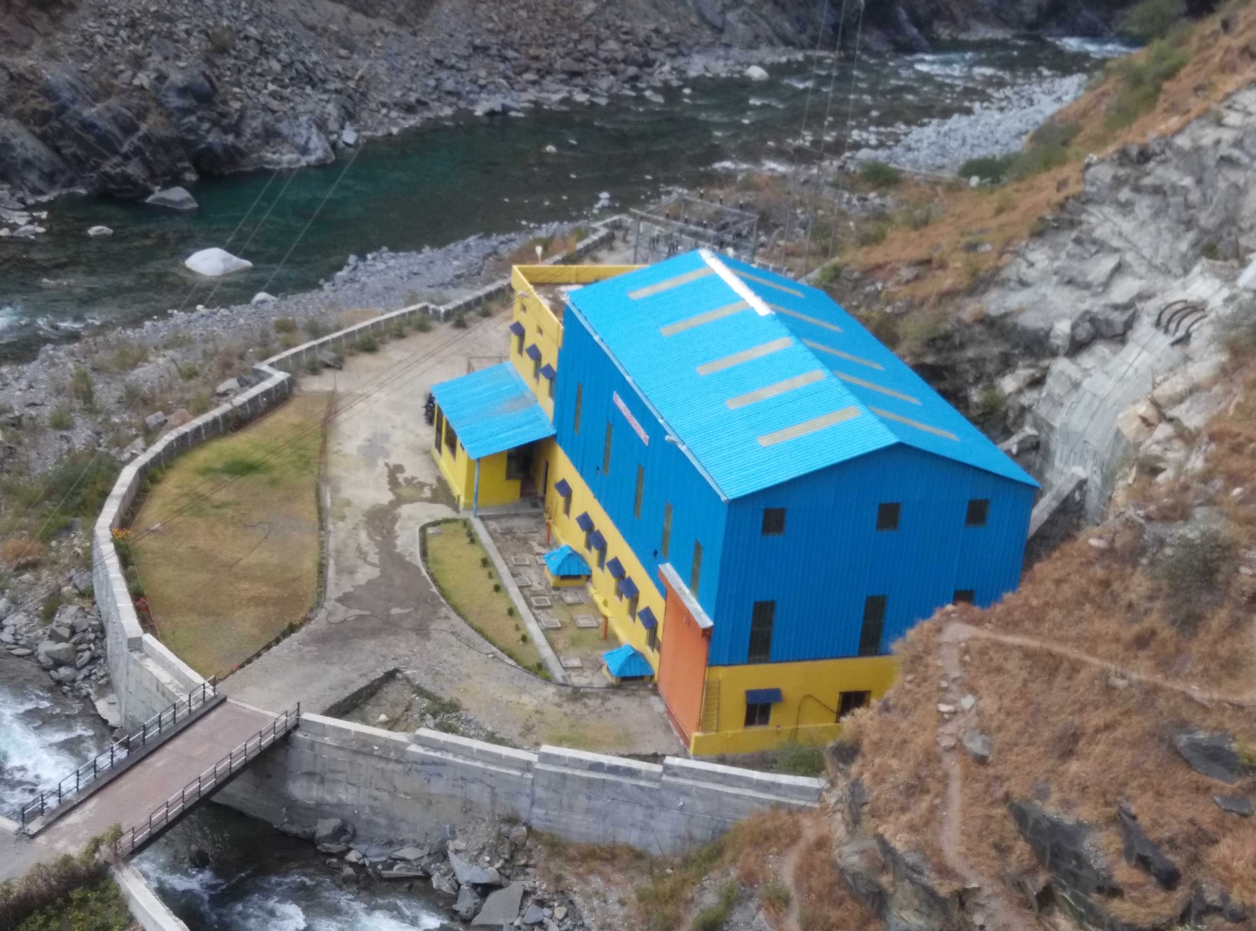
Our Powerhouse
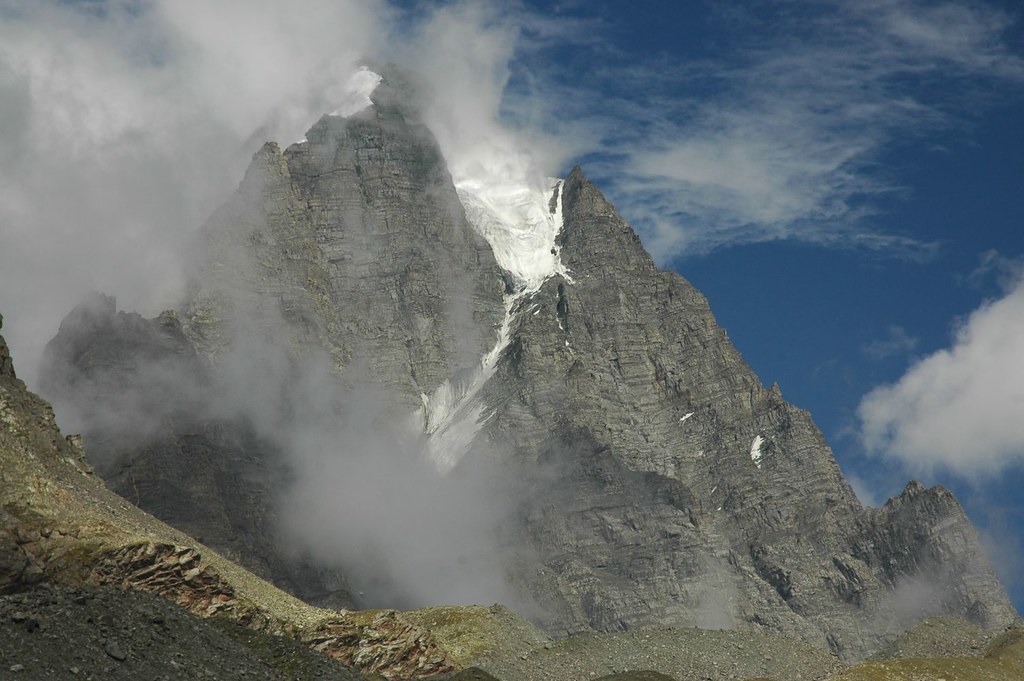
Manimahesh Kailash
Topographic Map of Banni, Himachal Pradesh, India
Find elevation by address:

Places near Banni, Himachal Pradesh, India:
Udaipur
Chamba
Chamba
Dhauladhar
Khajjiar
Masrund
Kalatop
Dalhousie
Dalhousie
Gahar Dunei
Sach Pass 4390m
Burwa
Atal Tunnel
Doodh Kaasi Lake
Jispa
Darcha
Patalsu Peak
Marhi
Rohtang La
Rohtang Pass
Recent Searches:
- Elevation of Corso Fratelli Cairoli, 35, Macerata MC, Italy
- Elevation of Tallevast Rd, Sarasota, FL, USA
- Elevation of 4th St E, Sonoma, CA, USA
- Elevation of Black Hollow Rd, Pennsdale, PA, USA
- Elevation of Oakland Ave, Williamsport, PA, USA
- Elevation of Pedrógão Grande, Portugal
- Elevation of Klee Dr, Martinsburg, WV, USA
- Elevation of Via Roma, Pieranica CR, Italy
- Elevation of Tavkvetili Mountain, Georgia
- Elevation of Hartfords Bluff Cir, Mt Pleasant, SC, USA