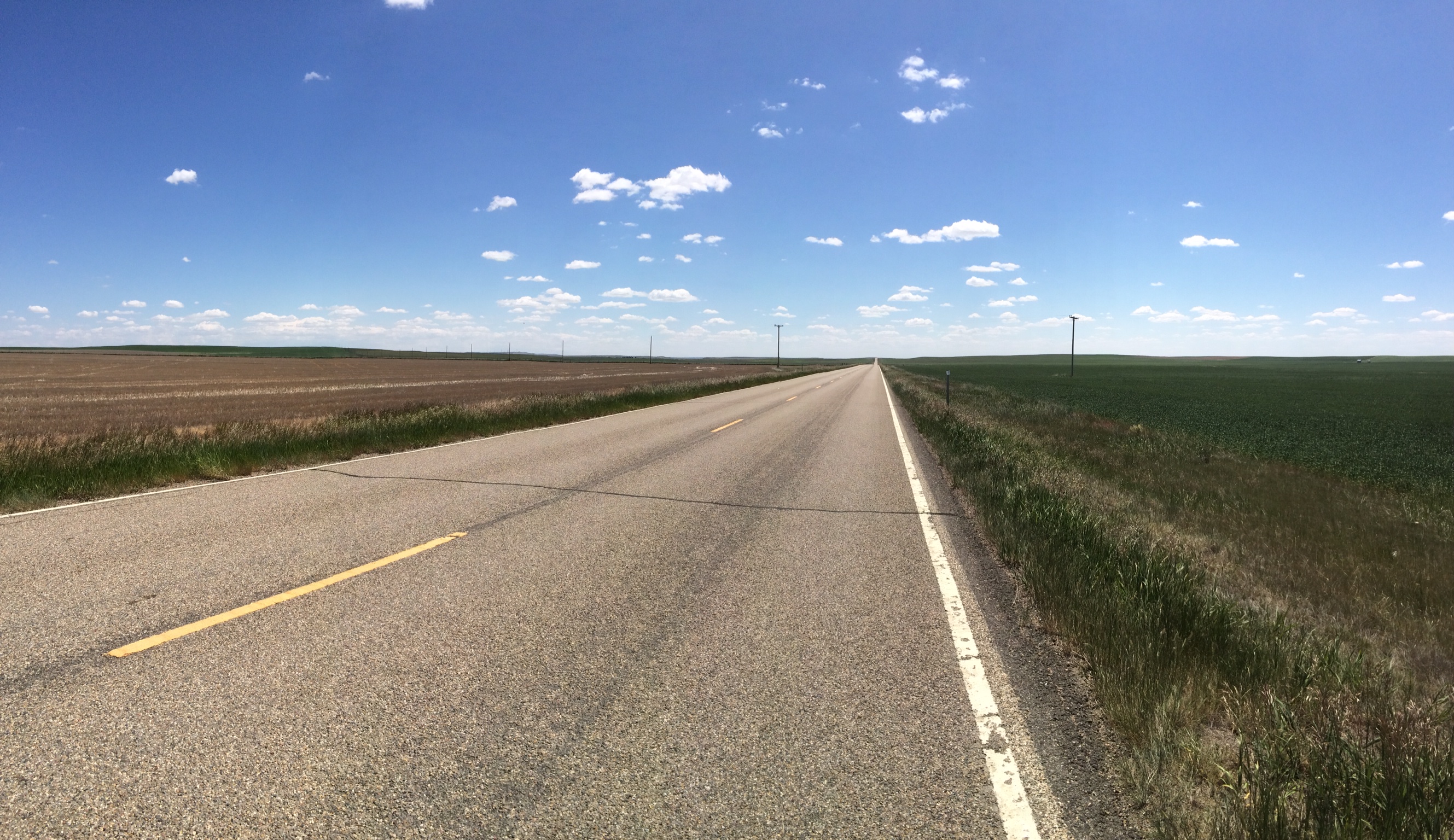
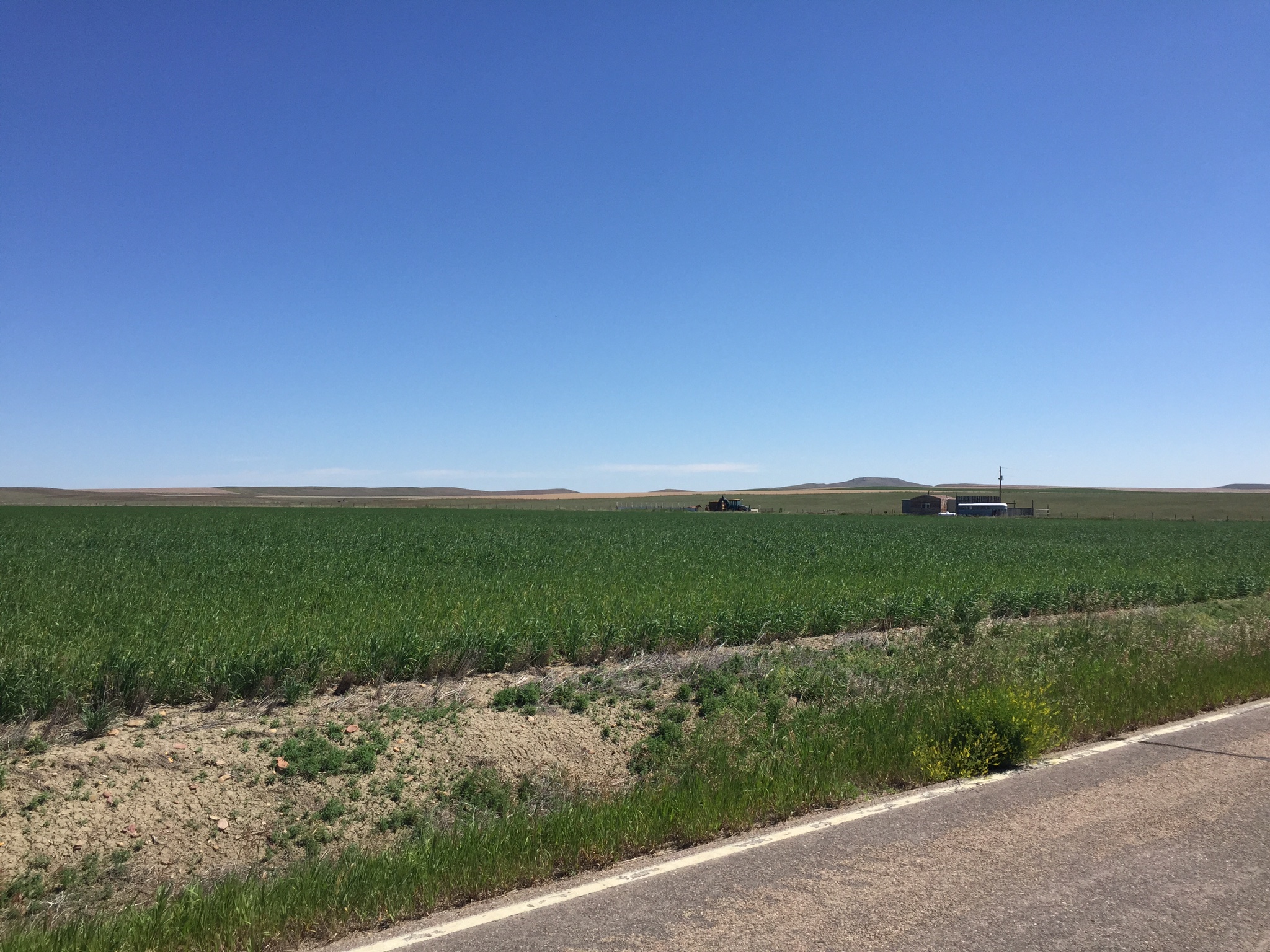
Elevation of Chalk Butte Rd, Cut Bank, MT, USA
Location: United States > Montana > Glacier County > Cut Bank >
Longitude: -112.54930
Latitude: 48.8444858
Elevation: 1233m / 4045feet
Barometric Pressure: 87KPa
Elevation Map:
Satellite Map:
Related Photos:
IMG_0589
IMG_0550
IMG_0551
IMG_0552
IMG_0553
IMG_0554
IMG_0555
IMG_0586
IMG_0587
IMG_0588
_SNI8904
Topographic Map of Chalk Butte Rd, Cut Bank, MT, USA
Find elevation by address:

Places near Chalk Butte Rd, Cut Bank, MT, USA:
Del Bonita
Glacier County
Cardston County
North Browning
49 Last Star Rd, Browning, MT, USA
Browning
Little Flower Parish
S Piegan St, Browning, MT, USA
Heart Butte
Waterton-glacier International Peace Park
Browning, MT, USA
US-2, Browning, MT, USA
14 Peterson Dr, Browning, MT, USA
Little Plume Peak
Feather Woman Mountain
Major Steele Backbone
Lookout Ridge South
Travelers Rest Lodge
East Glacier Park
Half Dome Crag
Recent Searches:
- Elevation of Corso Fratelli Cairoli, 35, Macerata MC, Italy
- Elevation of Tallevast Rd, Sarasota, FL, USA
- Elevation of 4th St E, Sonoma, CA, USA
- Elevation of Black Hollow Rd, Pennsdale, PA, USA
- Elevation of Oakland Ave, Williamsport, PA, USA
- Elevation of Pedrógão Grande, Portugal
- Elevation of Klee Dr, Martinsburg, WV, USA
- Elevation of Via Roma, Pieranica CR, Italy
- Elevation of Tavkvetili Mountain, Georgia
- Elevation of Hartfords Bluff Cir, Mt Pleasant, SC, USA